







BARDONECCHIA Guglia Rossa
Stopnja težavnosti: T3
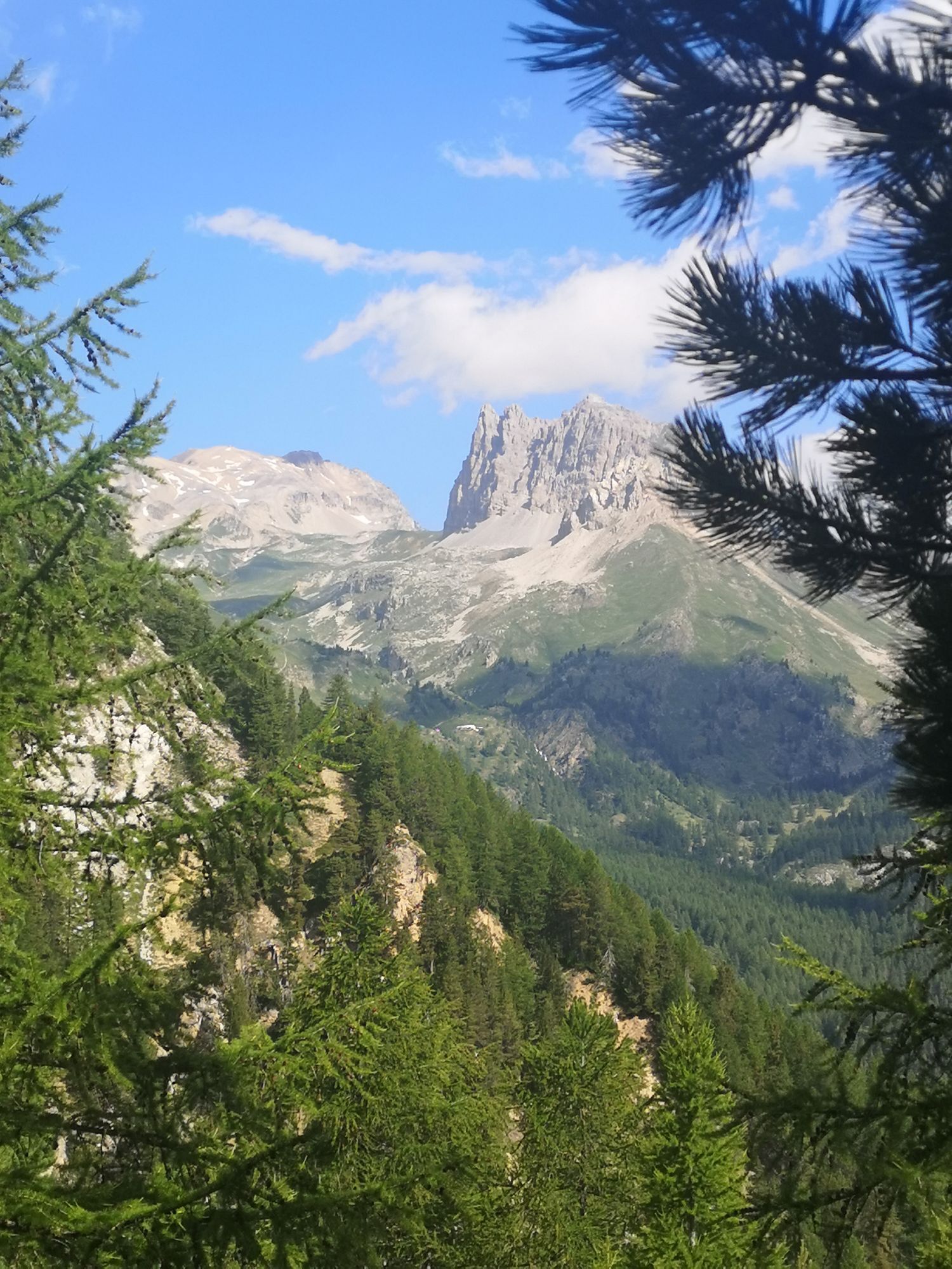
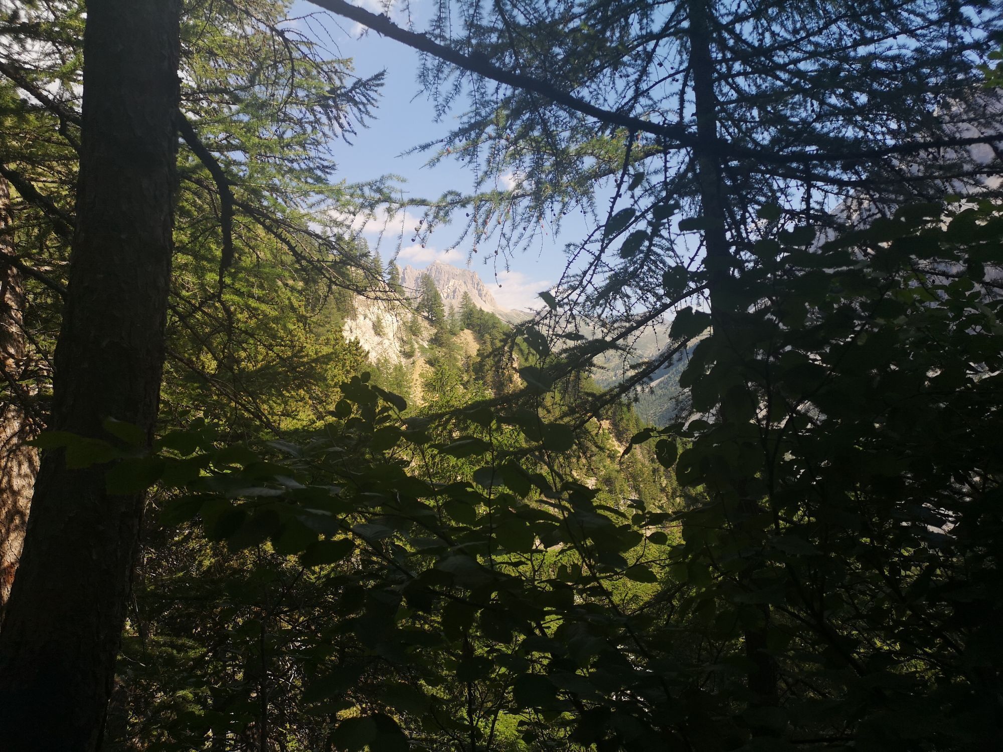
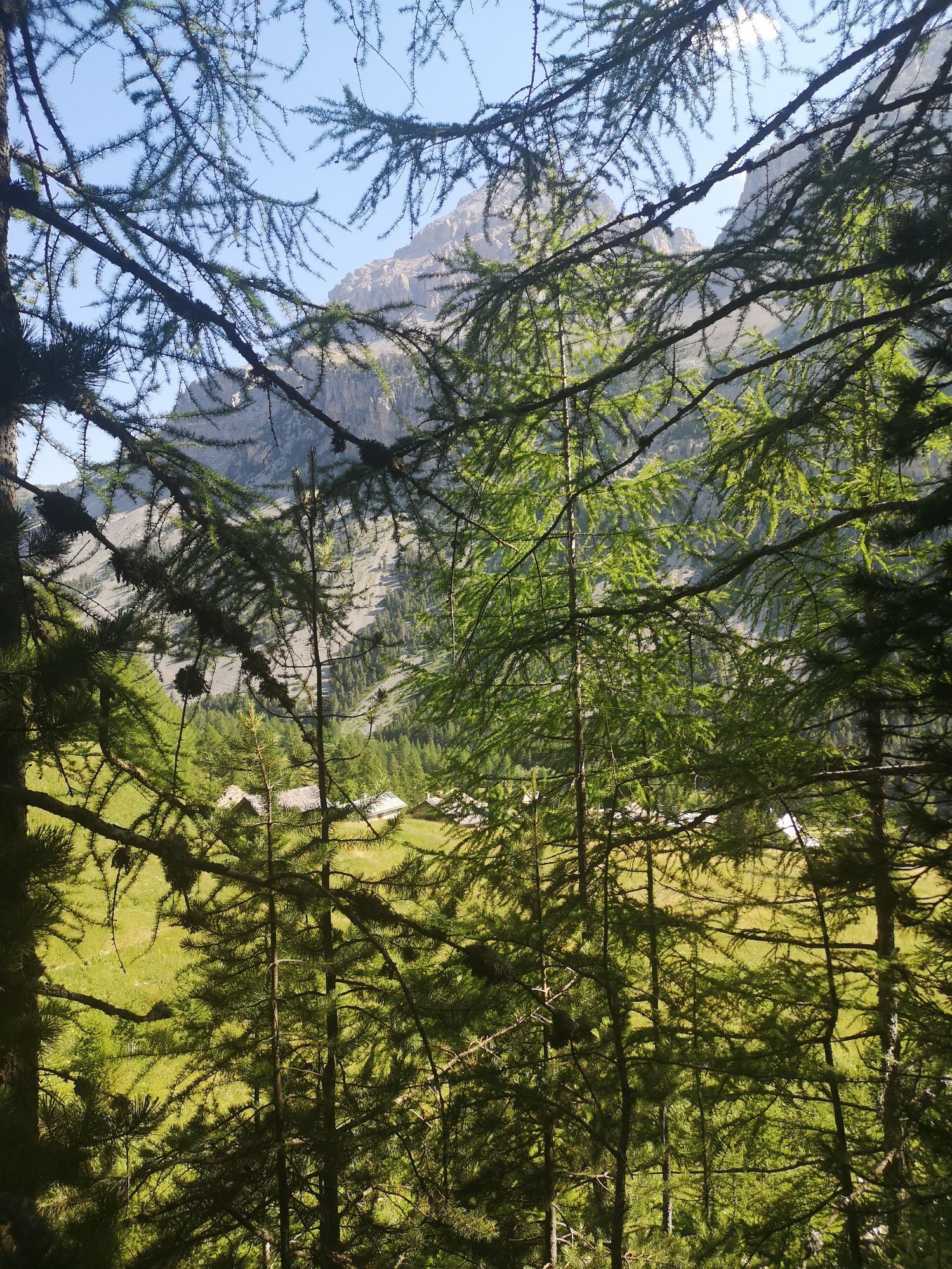
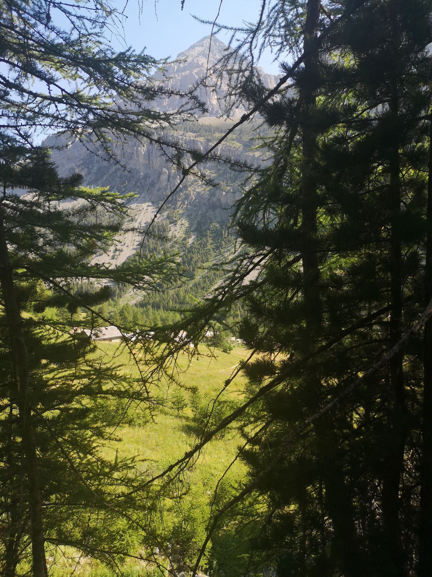
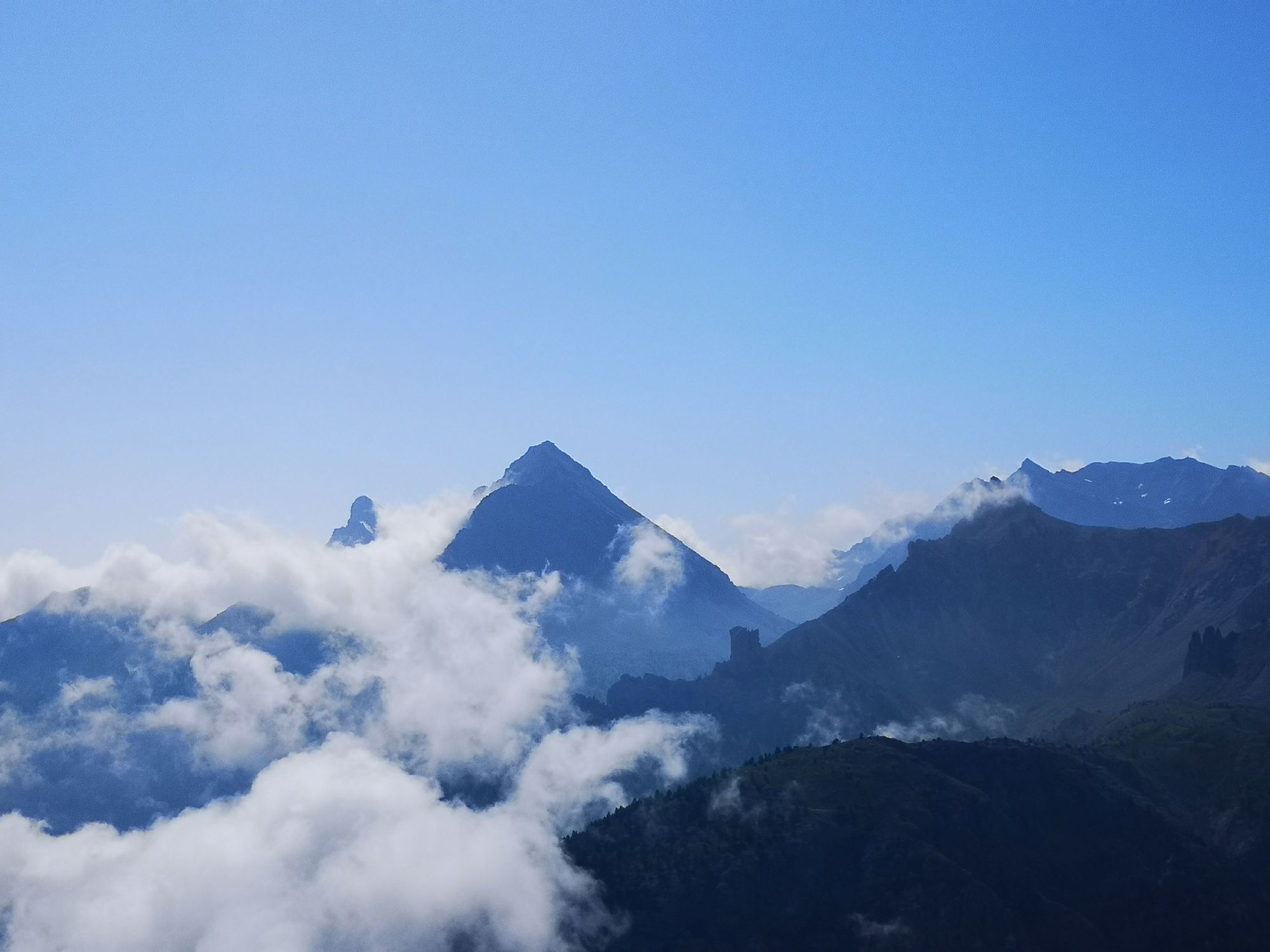
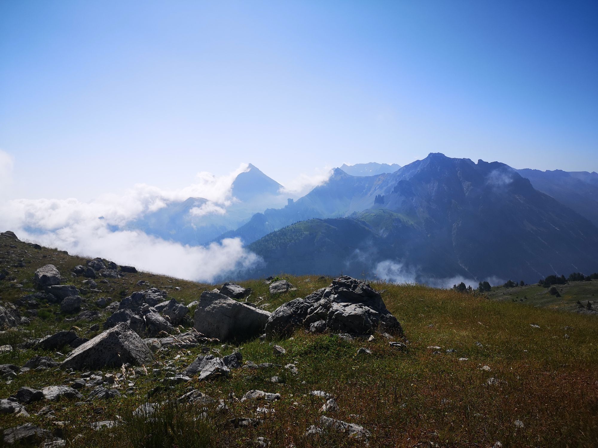
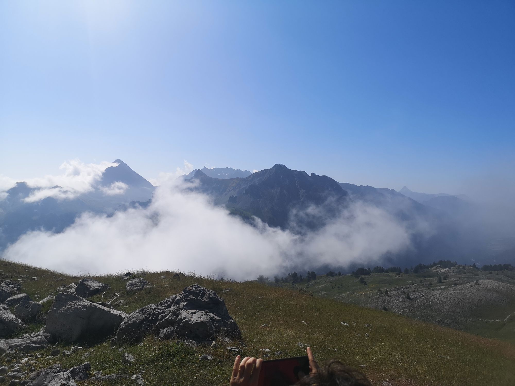
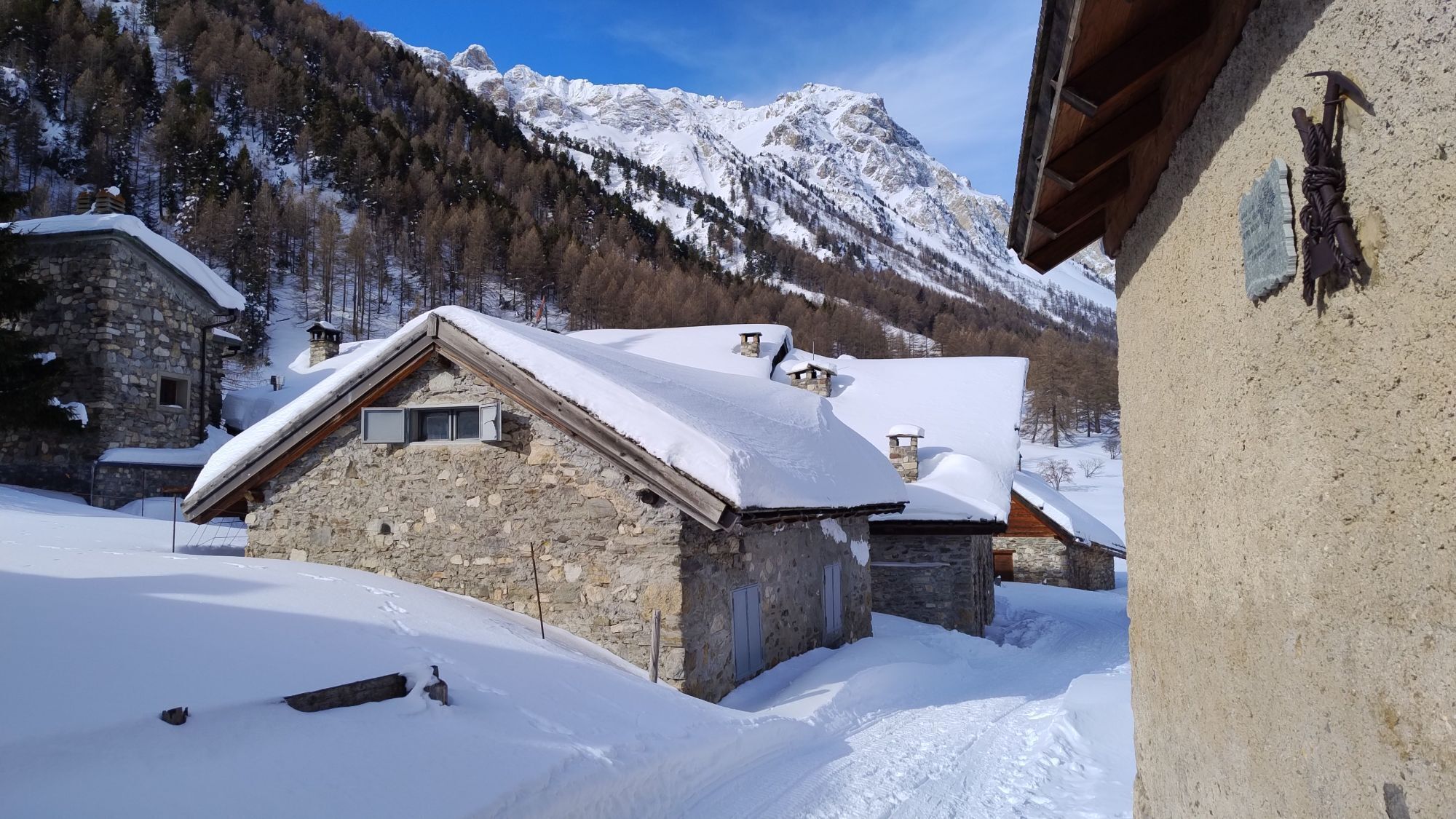
The route, starting from the Grange di Valle Stretta, initially runs along a path immersed in a dense conifer forest, which gradually thins to give way to large meadows, until reaching the Lago Thures....
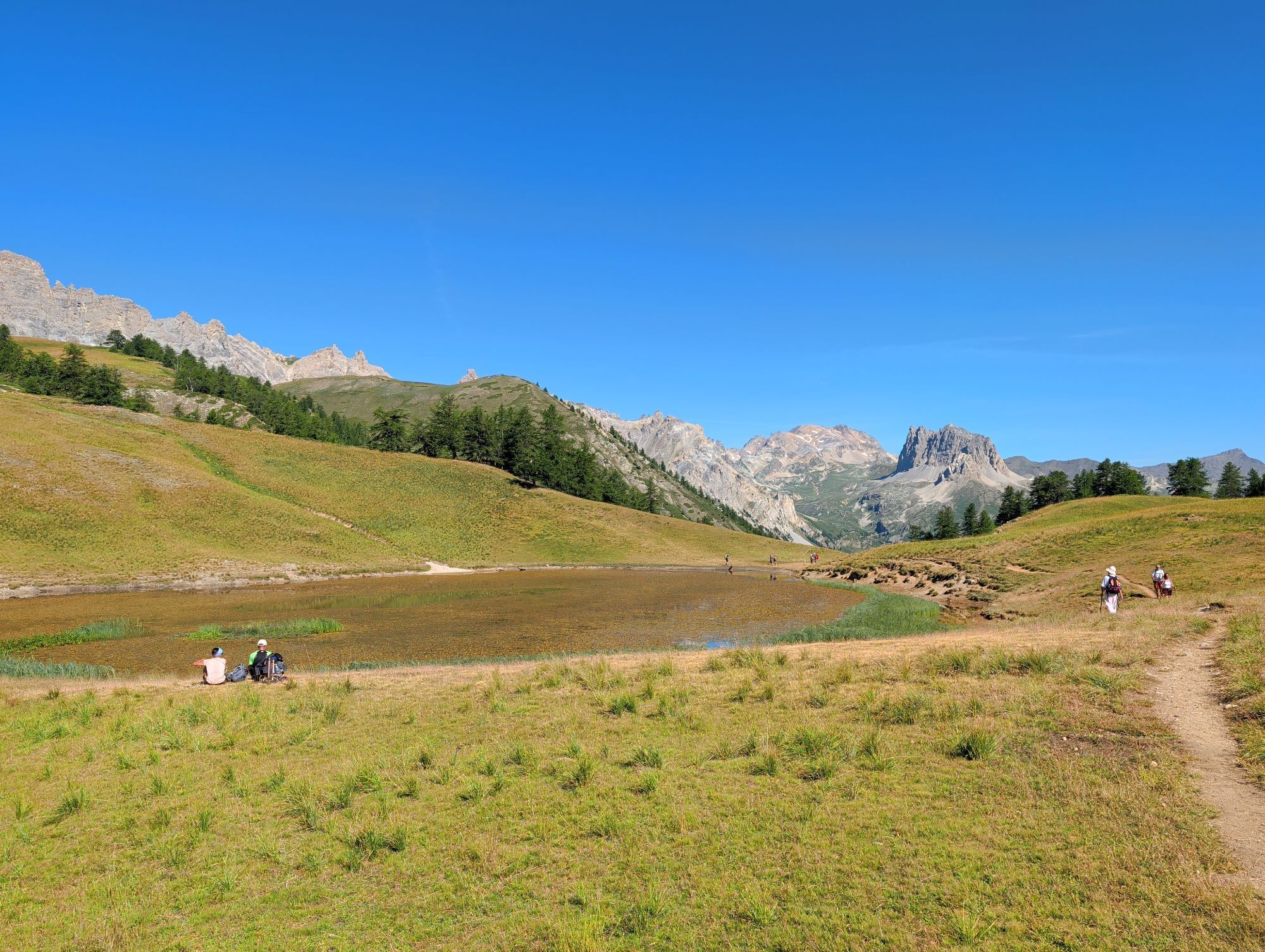
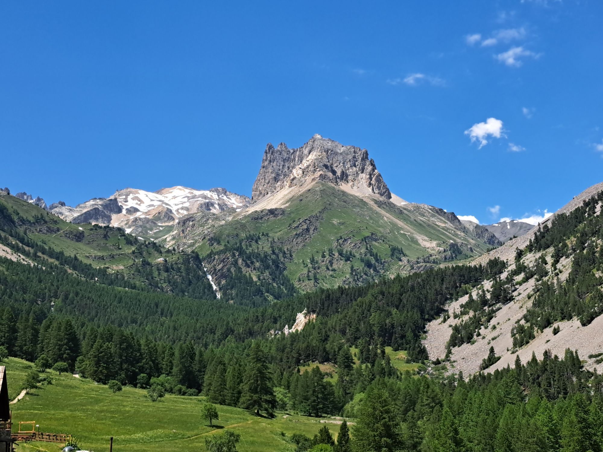
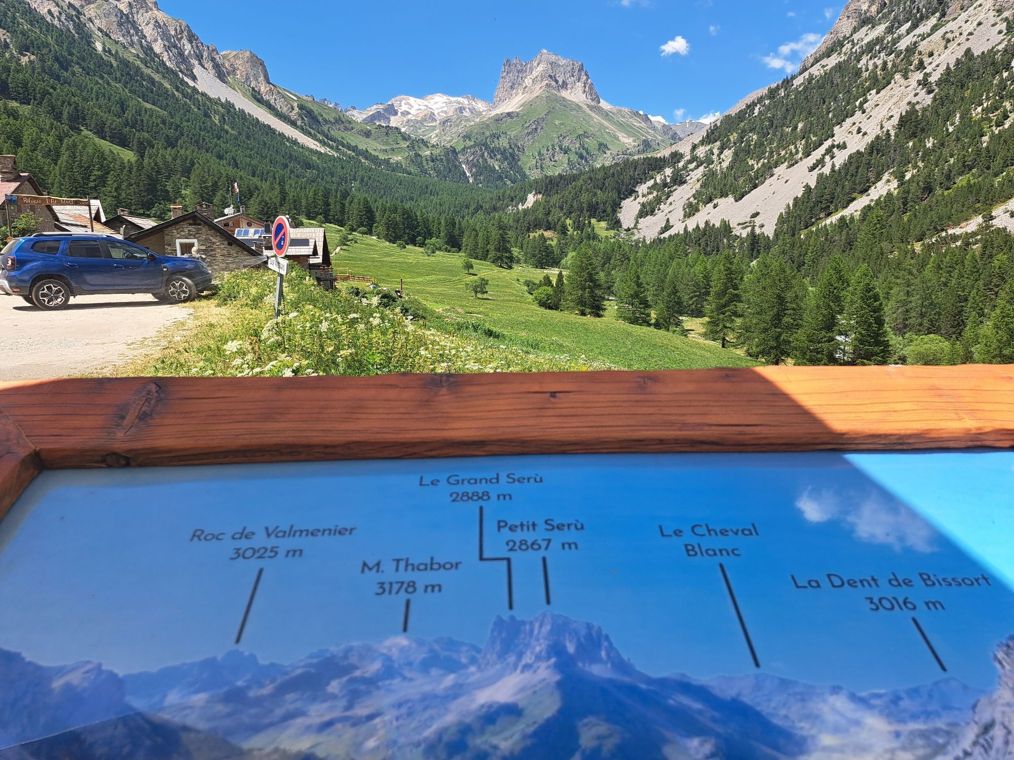
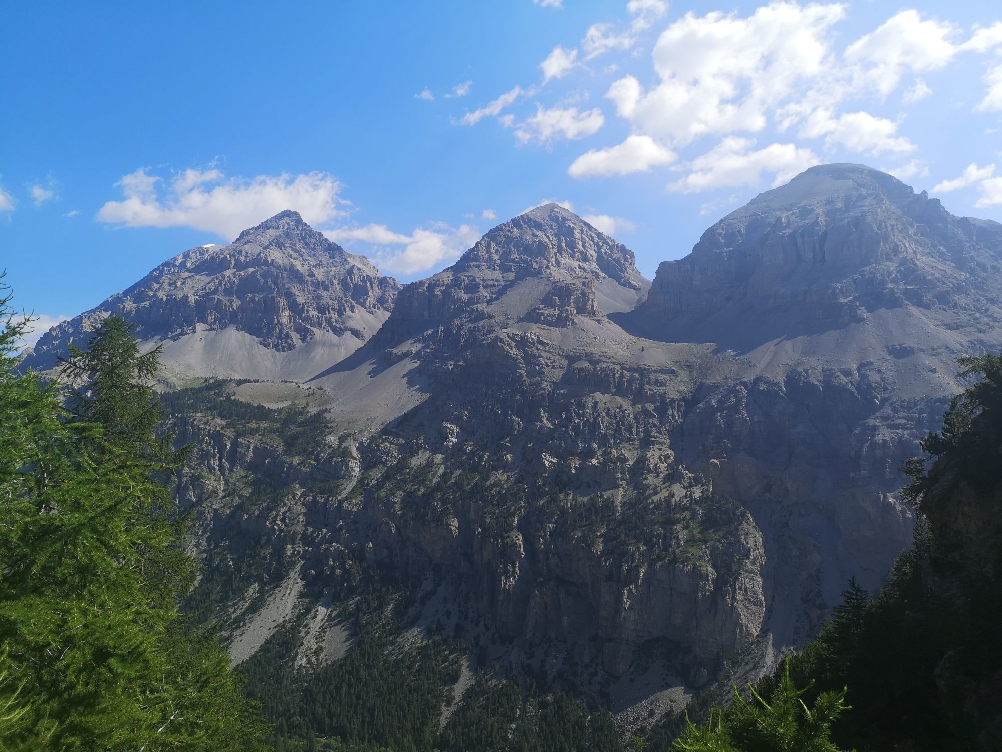
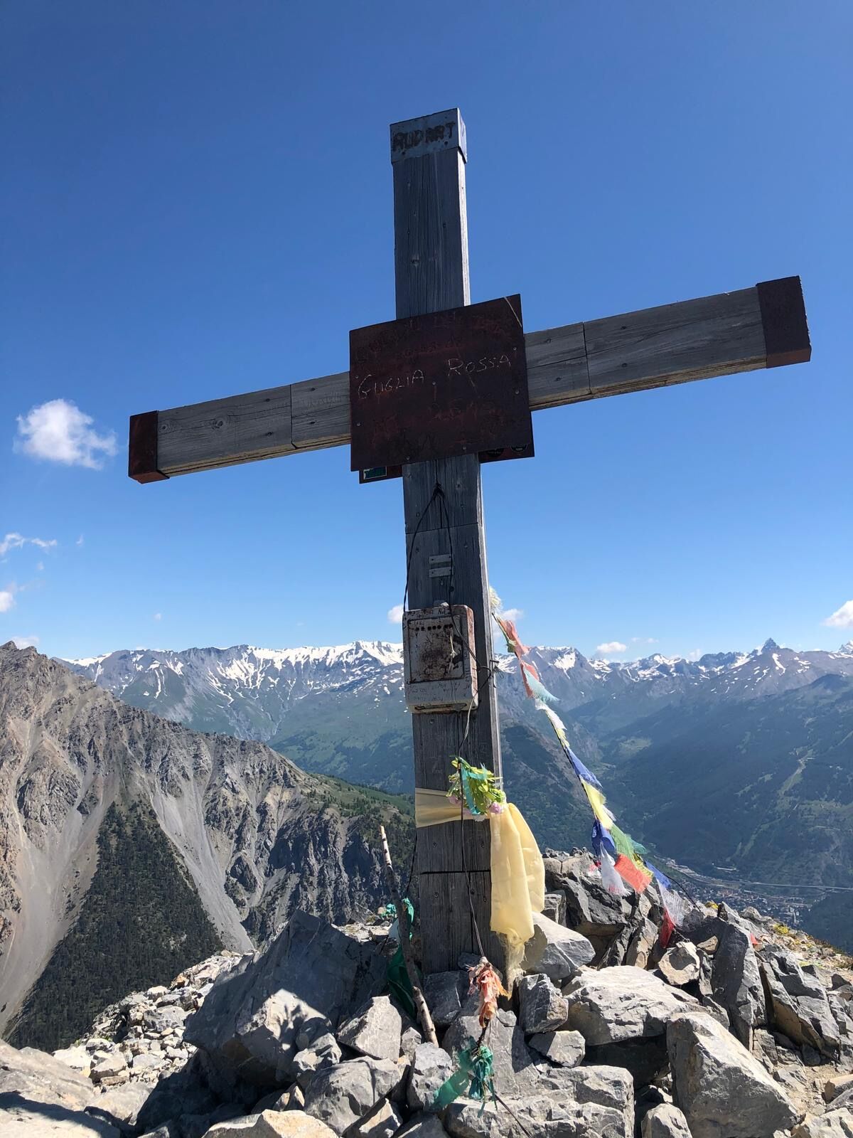
The route, starting from the Grange di Valle Stretta, initially runs along a path immersed in a dense conifer forest, which gradually thins to give way to large meadows, until reaching the Lago Thures. The route continues with a gentle ascent crossing the grassy plateau, then climbs up the mountain side with a steep zigzag path, which finally leads to the summit of Guglia Rossa.

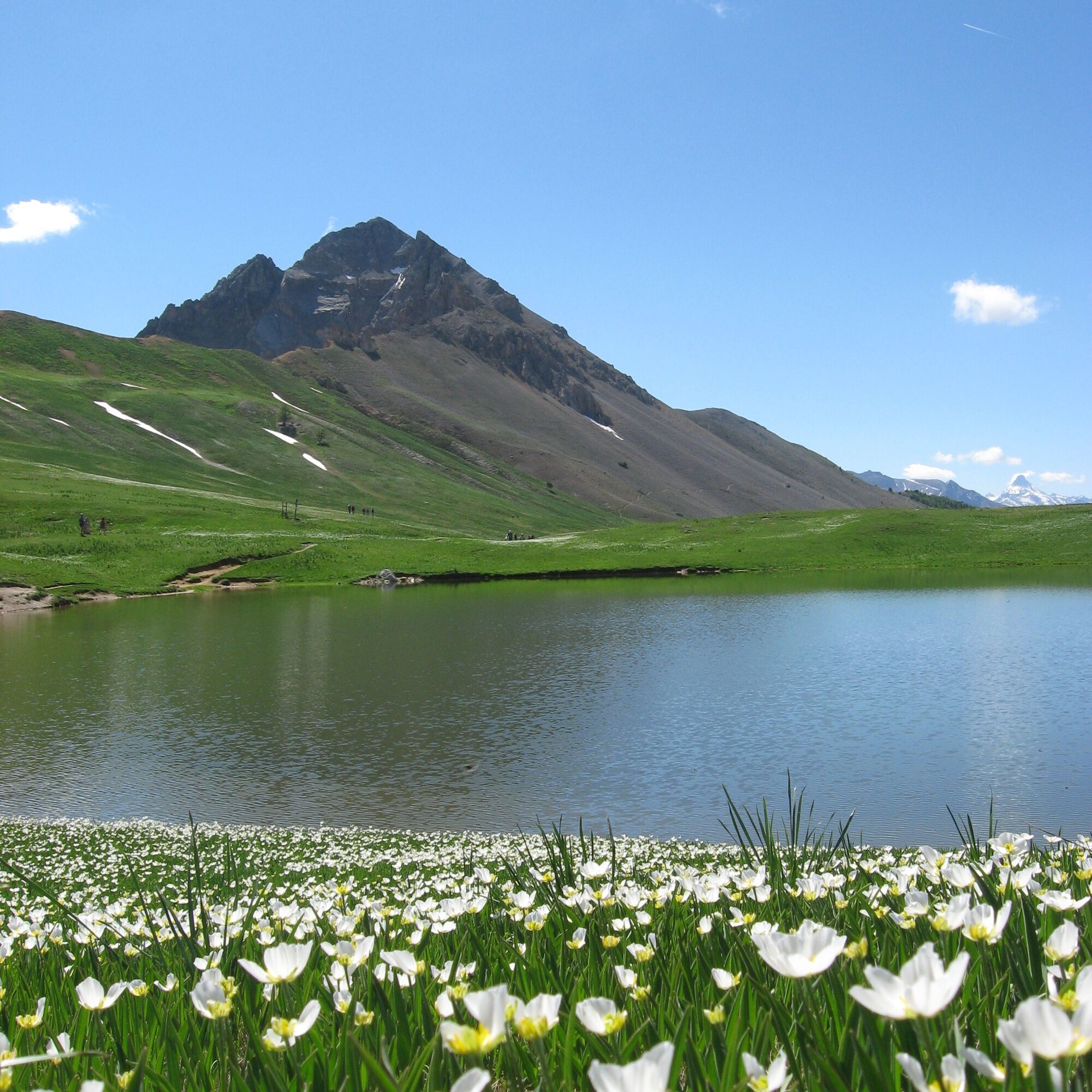
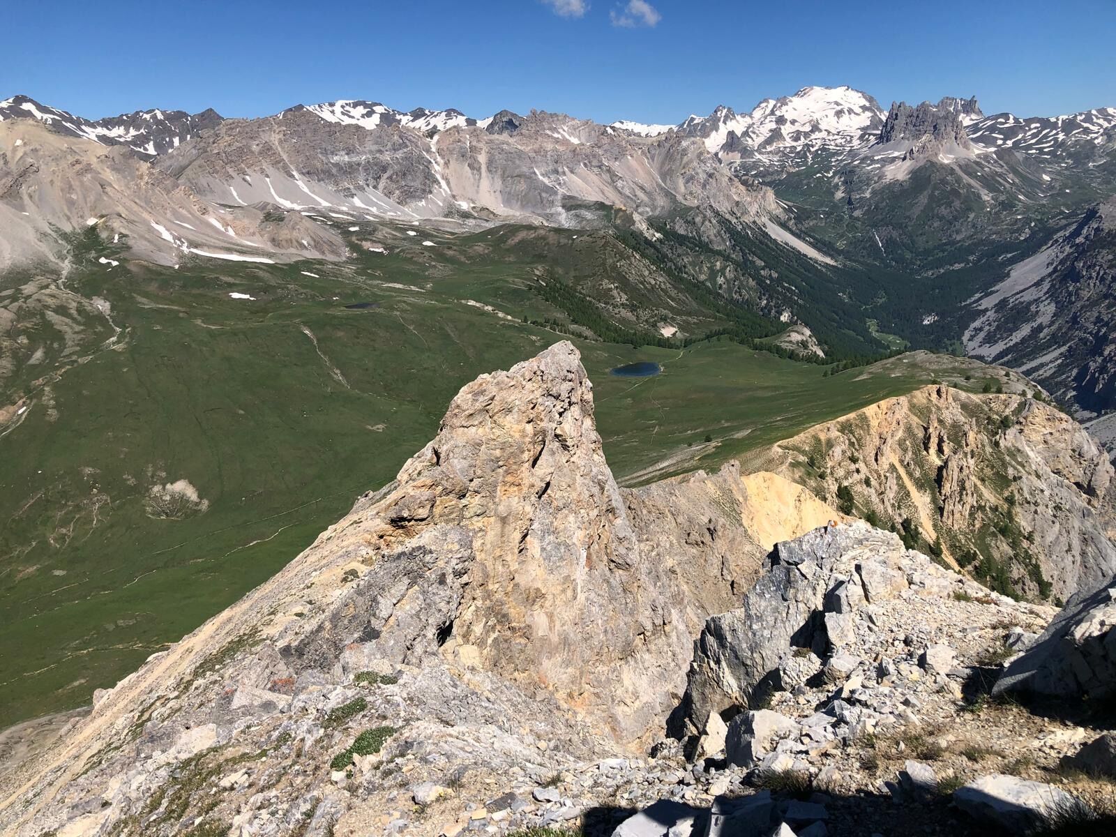
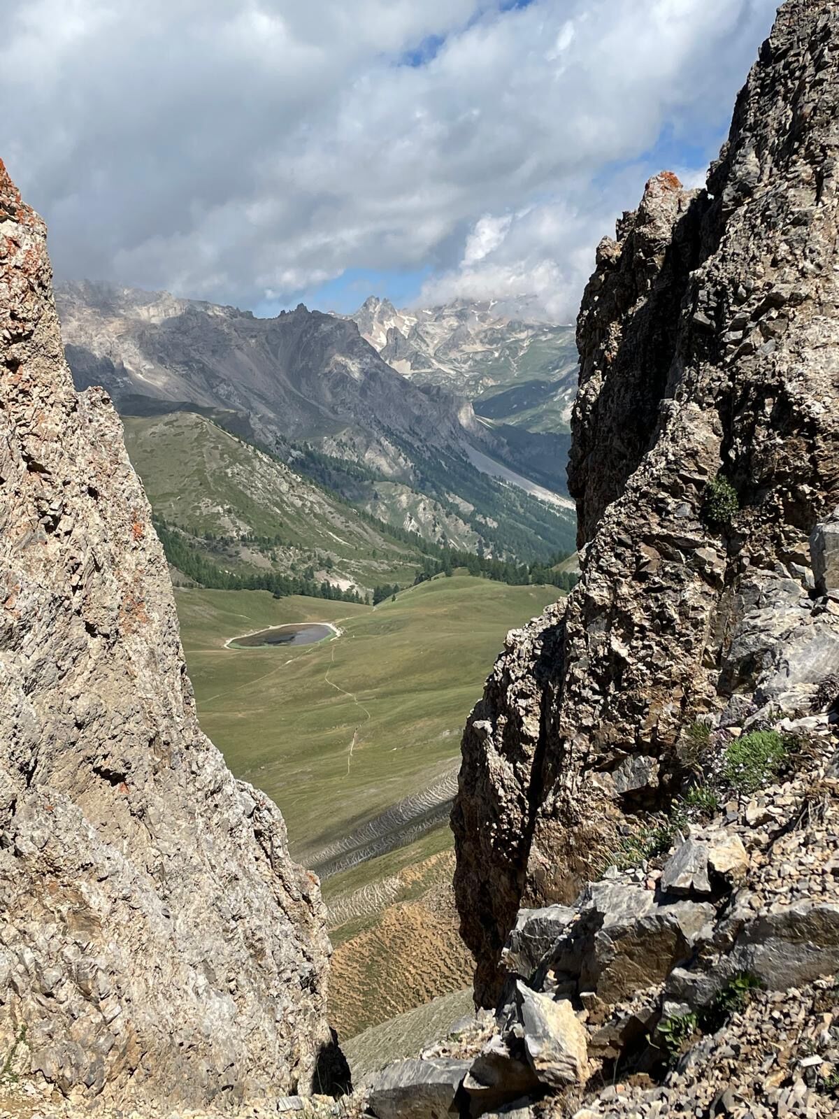
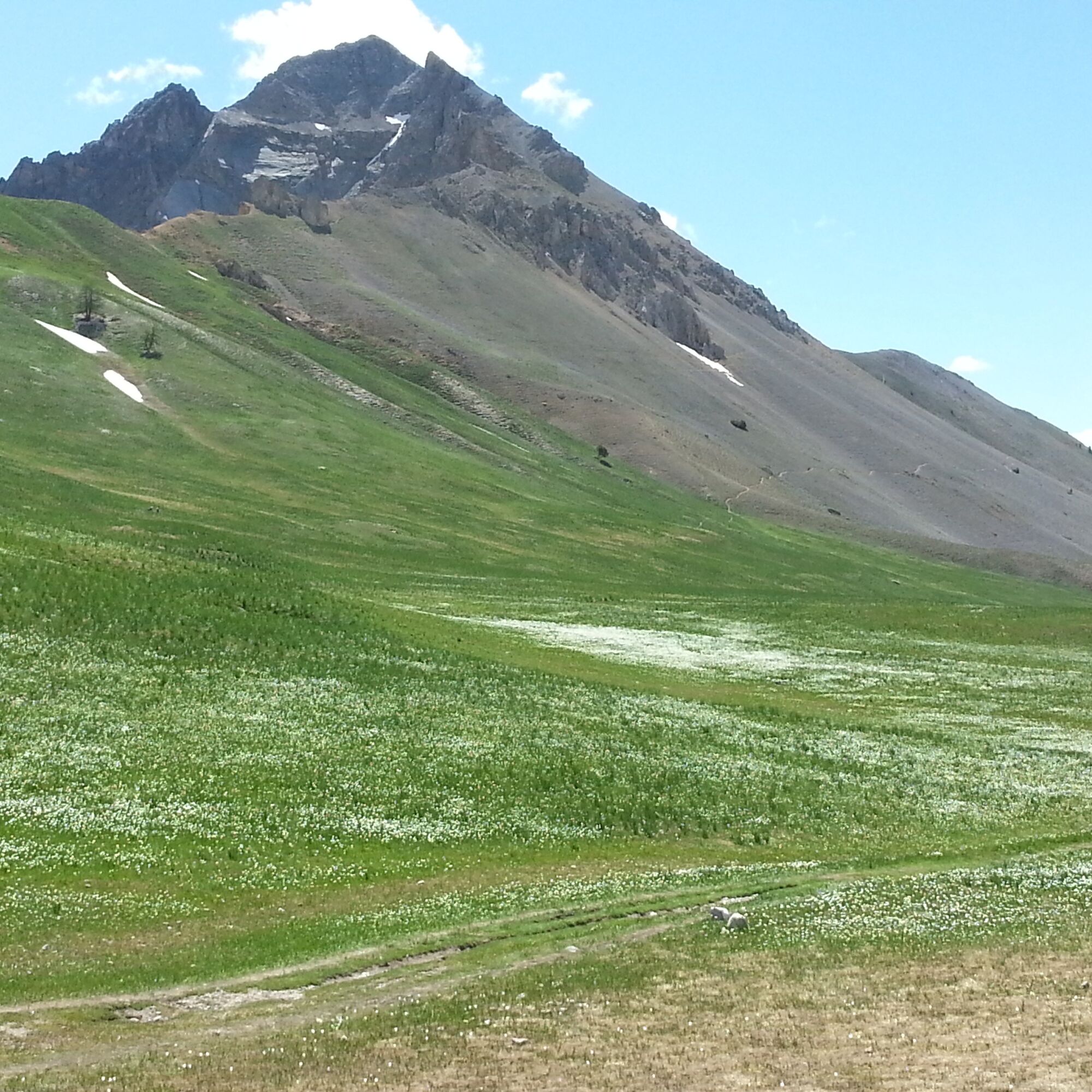
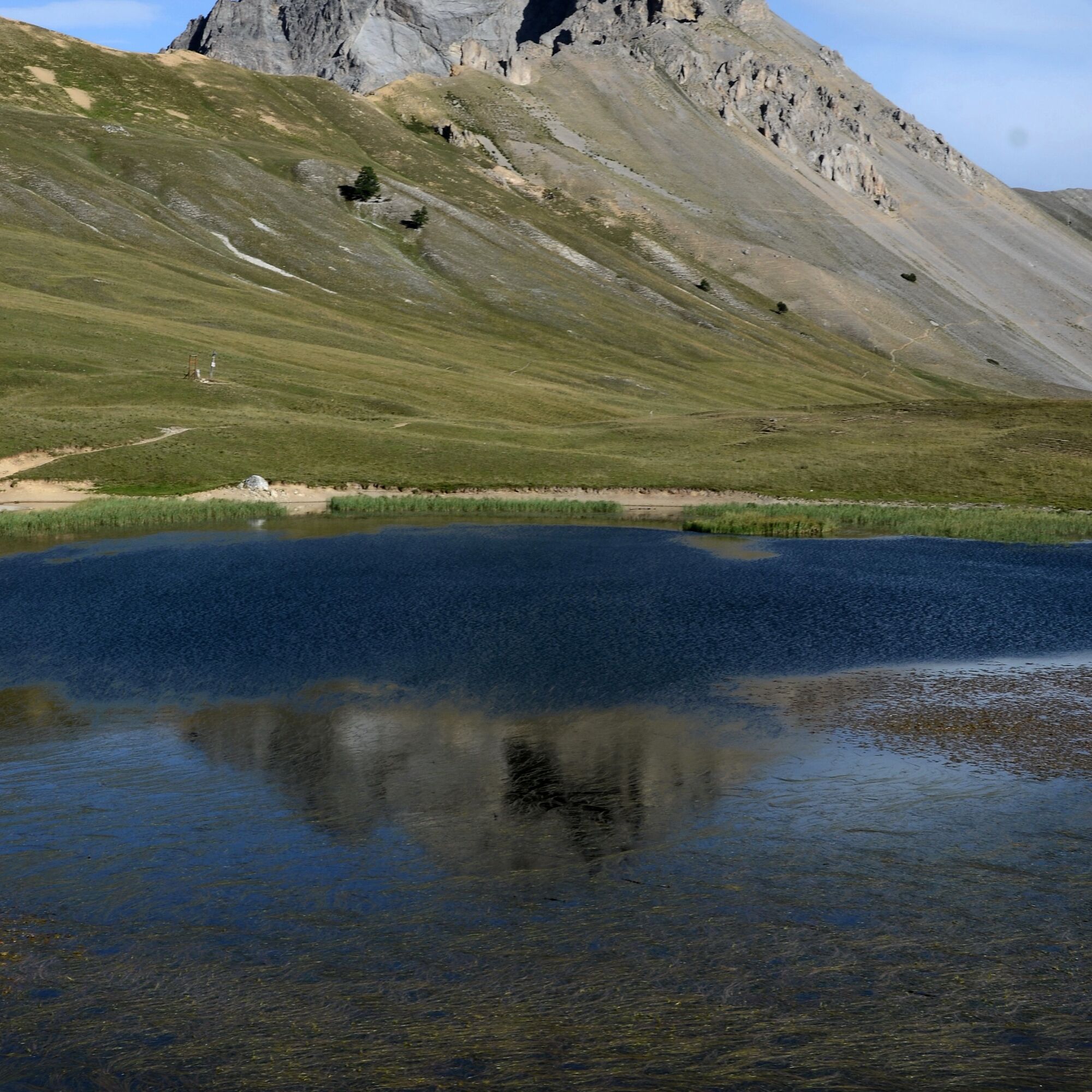
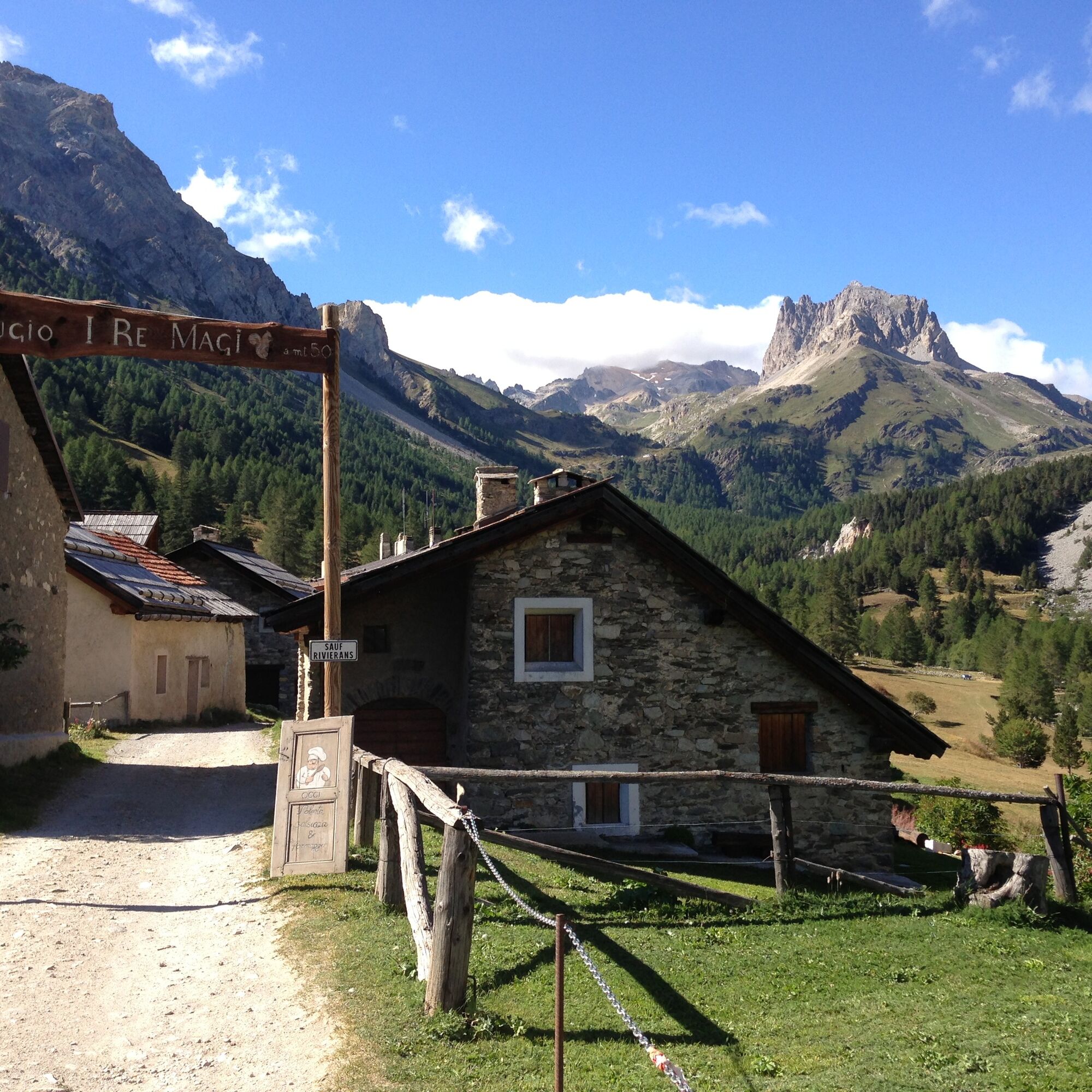

From Bardonecchia, reach by car (in summer with the shuttle service) the parking lots of Grange di Valle Stretta. Take the path on foot that passes near the Terzo Alpini refuge and climbs through meadows until crossing a small stream. From here the route continues with a series of switchbacks with moderate slope through the steep larch forest until reaching a clearing and then the Lago di Thures.
From here continue left along the path which gently ascends to a grassy ridge, joining the path coming from Colle della Scala. Turn left on the path which becomes steeper and more exposed and with a few switchbacks reaches the summit of Guglia Rossa.
Da
Trekking boots
In the final section of the route, the path becomes steeper and more exposed
By car:
- A32 Torino - Bardonecchia Highway, Bardonecchia exit
- State Road 24: Torino - Oulx and then State Road 335: Oulx - Bardonecchia
Once you reach Bardonecchia, head toward the village of Les Arnauds and the hamlet of Melezet, pass them and reach Pian del Colle. Cross the Italian-French border (no special signage present) and continue until you reach the Colle della Scala / Valle Stretta junction. Continue straight along the road, almost entirely paved, entering the valley, passing some switchbacks, continue on flat ground and finally take the last two switchbacks to reach the Grange della Valle Stretta parking lot (5 km from Pian del Colle).
By train:
- line Torino Porta Nuova - Bardonecchia
Once you reach Bardonecchia from Hotel La Betulla (100 m from the train station), take the free shuttle Line 3 to Pian del Colle.
In July and August, there is a shuttle from Pian del Colle to Grange della Valle Stretta.
To check shuttle times click here.
There are several parking lots at Grange della Valle Stretta.
In July and August, parking at Grange di Valle Stretta is paid.
T3
Bring water with you; there are no fountains along the route
Savor a typical dish at the refuges at Grange della Valle Stretta and buy some dairy products at the Alpeggio Valle Stretta.
Pridobite vpogled Vedno v živo na mestu z več kot 9.500 spletnimi kamerami. bergfex Kot uporabnik Pro si lahko zdaj ogledate ustrezne spletne kamere za številne izlete v aplikaciji izleti iz. Tako si lahko neposredno ogledate trenutne razmere. Priljubljeni izleti v okolici
- 5.0
BARDONECCHIA Colle Sommeiller
srednjaMountainbike 25.4 km - 4.5
BARDONECCHIA Pian del Colle - Valle Stretta
srednjaSnežni čevlji 5.02 km - 5.0
BARDONECCHIA Green Lake
svetlobaPohodništvo 2.14 km - 5.0
BARDONECCHIA Forte Jafferau Loop
težkoMountainbike 36.8 km - 4.5
BARDONECCHIA Walter Bonatti Path - Grange della Rho
srednjaPohodništvo 6.06 km - 5.0
BARDONECCHIA Decauville
srednjaPohodništvo 7.29 km - 5.0
BARDONECCHIA Col des Acles - Passo della Mulattiera
srednjaPohodništvo 6.23 km BARDONECCHIA - Loop Colle della Scala - Col de Montgenèvre - Colle del Sestriere
težkoCestno kolo 91.9 kmBARDONECCHIA Lago Verde
svetlobaMountainbike 10.7 kmBARDONECCHIA Monte Jafferau
težkoPohodništvo 11.6 km
Pohodništvo in sledenje


Ne zamudite ponudb in navdiha za naslednje počitnice
Vaš e-poštni naslov je bil dodan na poštni seznam.





