Navigacija po spletni strani
Pridobite to turo v svoj mobilni telefon
Zemljevid
The Pagarine Route Trail Edition: A 4-Day Adventure on the Salt Roads

težko
Trailrunning
160.69 km
Skenirajte kodo QR in začnite navigacijo v aplikaciji bergfex.
QR Code
Pohodništvo in sledenje
Prenos za iOS
Prenos za Android

The Pagarine Route Trail Edition: A 4-Day Adventure on the Salt Roads

Zemljevid
Razdalja
160.7 km
Trajanje
35:05 h
Ascent
7,290 hm
Morska gladina
5 - 2,469 m

Stopnja težavnosti: T2
Prenos skladbe
Zemljevid
The Pagarine Route Trail Edition: A 4-Day Adventure on the Salt Roads
težko
Trailrunning
160.69 km

Fotografije naših uporabnikov

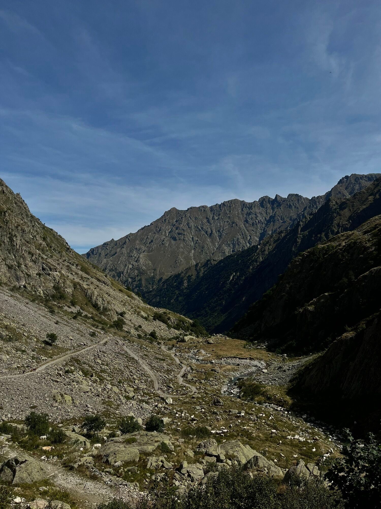
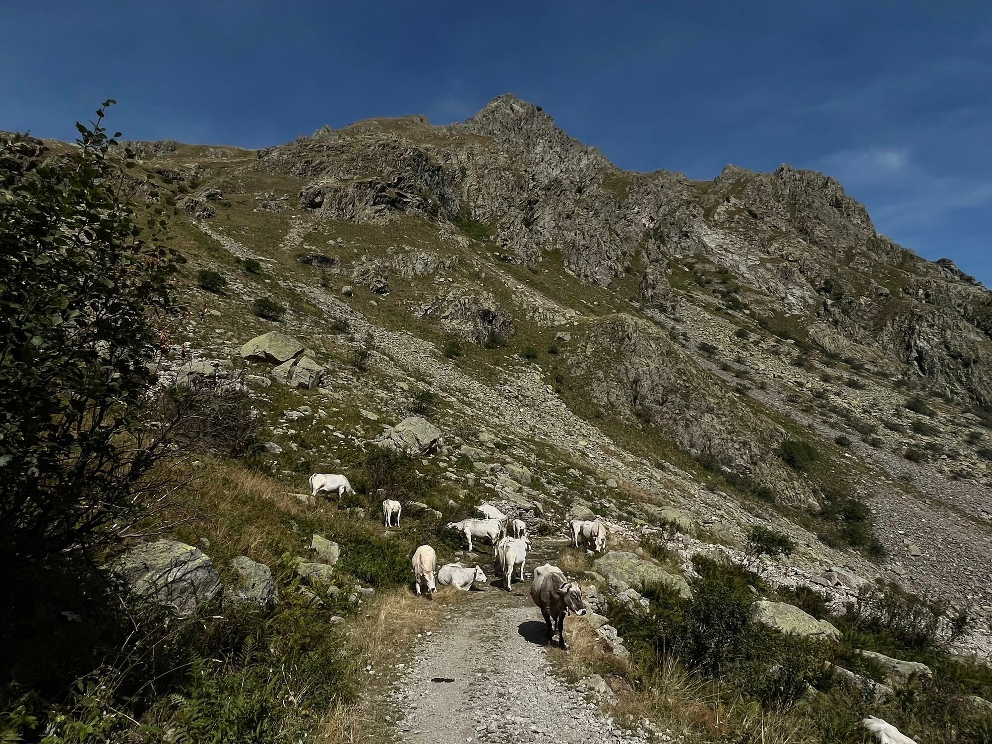
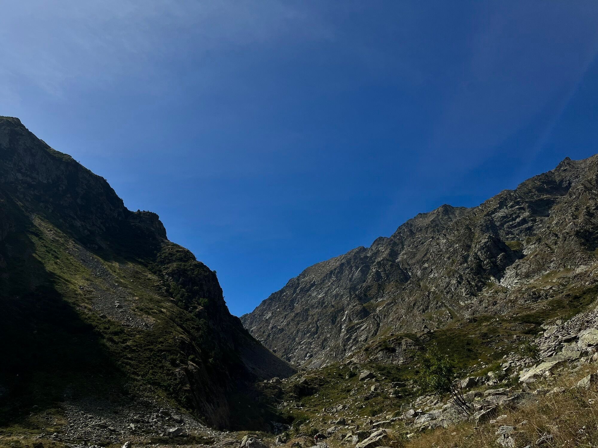
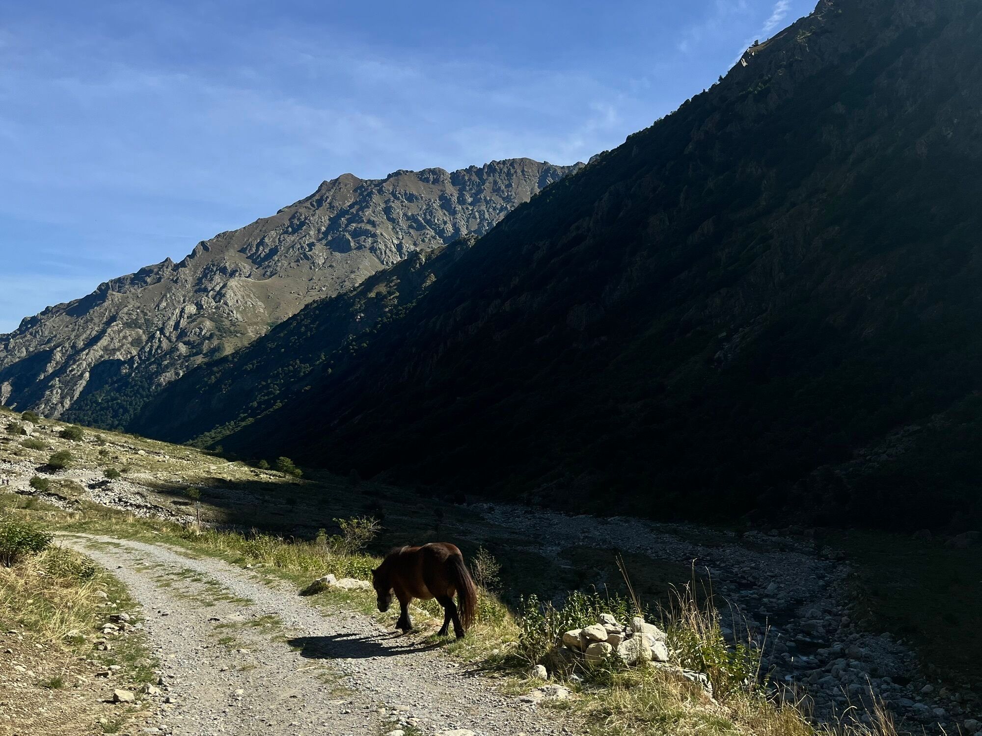
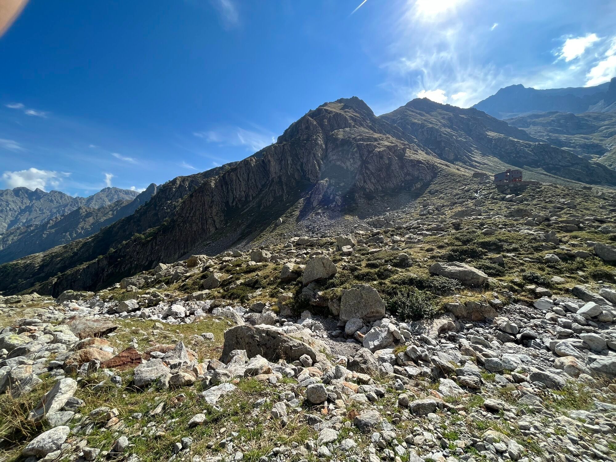
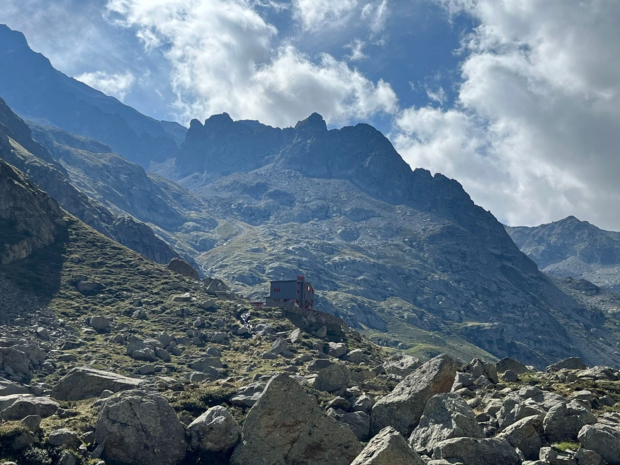
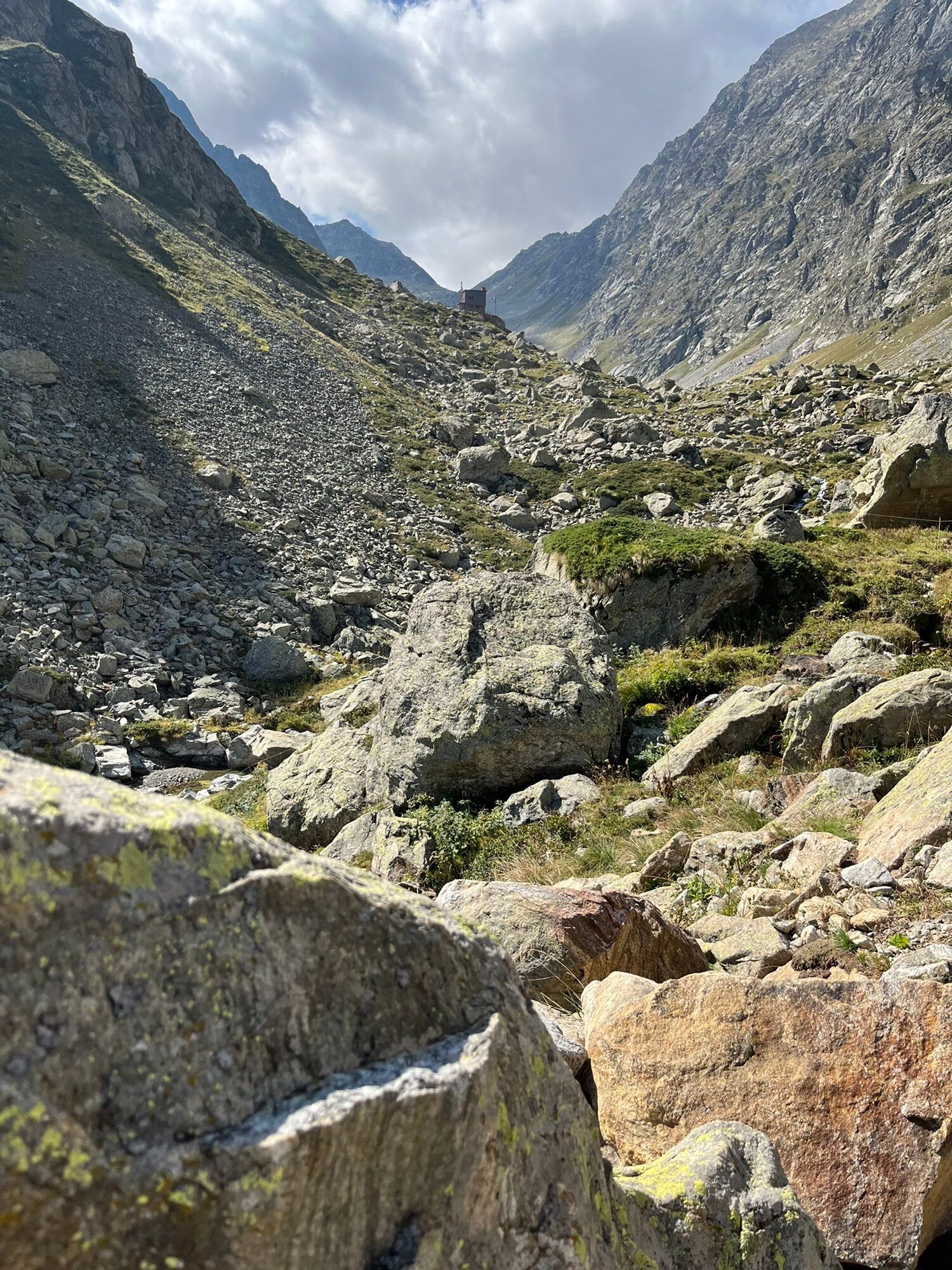
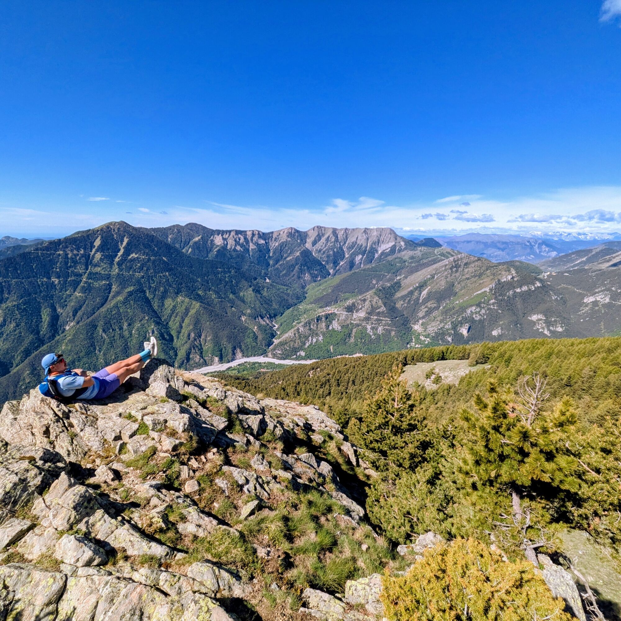
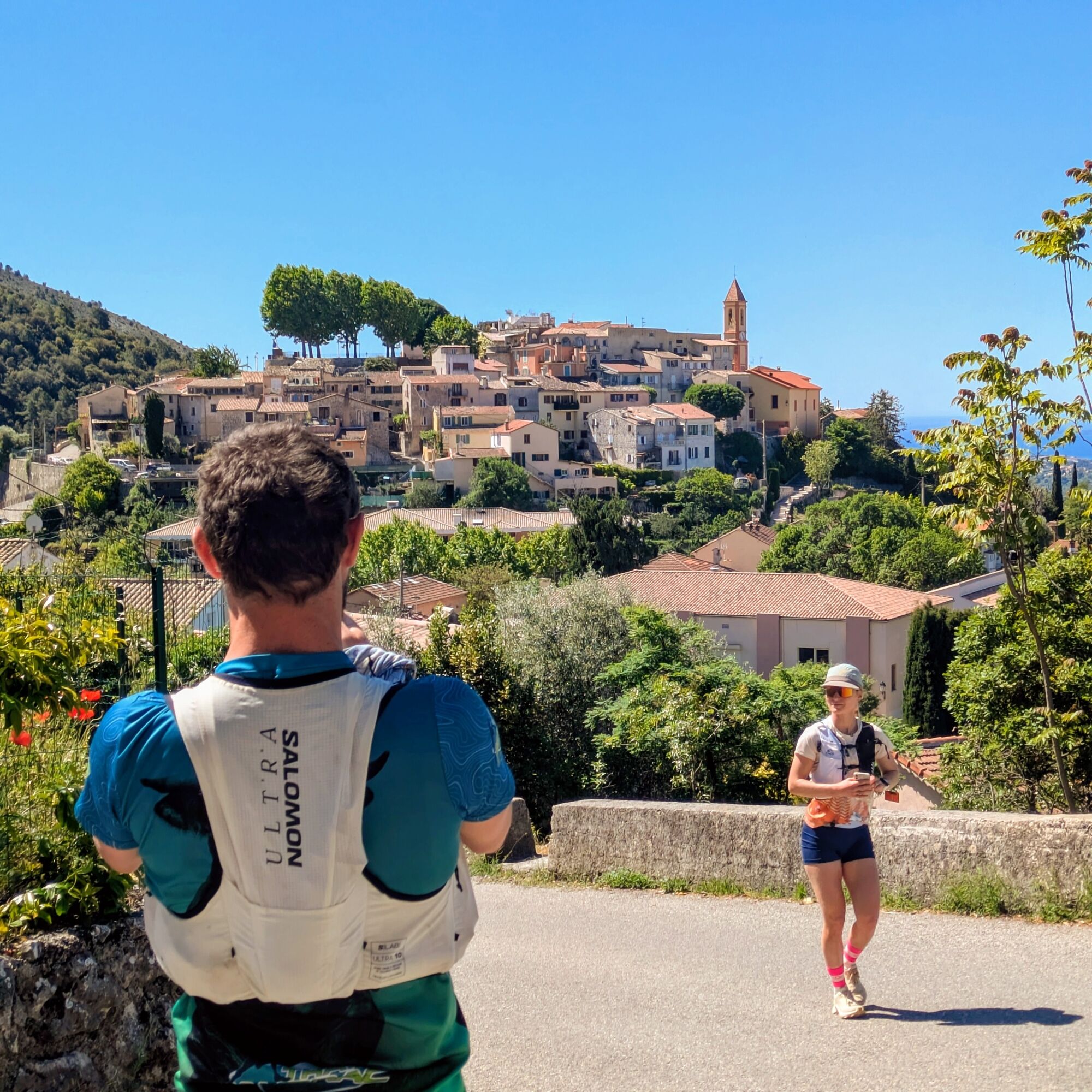
Following the same route as its “big sister,” the 10-Day Pagarine Trail, this 160-kilometer trail run invites you to discover, via trail running, the countless treasures of a region steeped in history,...

Opis
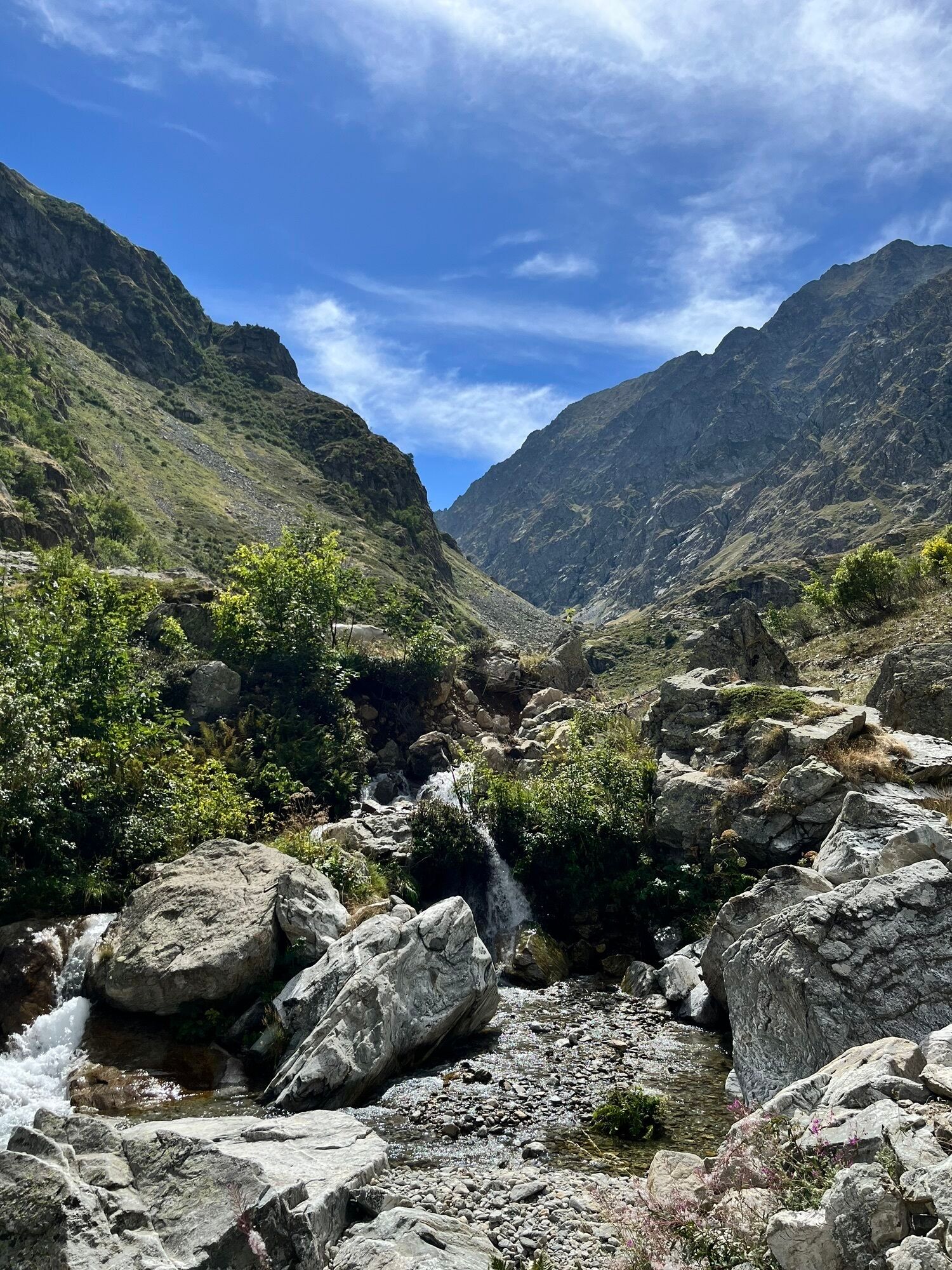
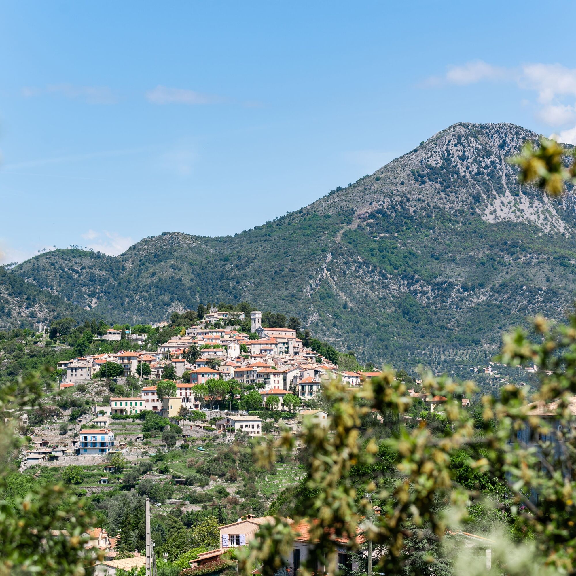
Following the same route as its “big sister,” the 10-Day Pagarine Trail, this 160-kilometer trail run invites you to discover, via trail running, the countless treasures of a region steeped in history, set amid exceptional landscapes between the Alps and the Mediterranean.

At the crossroads of the Alpes-Maritimes, Piedmont, and Liguria, this Franco-Italian territory is in fact a region united by a shared history and cultural heritage: the famous salt routes.

An essential commodity in the Middle Ages, salt was subject to a strategic tax known as the gabelle. When the County of Nice became part of Savoy in 1388, its port—the House of Savoy’s sole maritime access—played a key role in the salt trade into the Alpine territories.

Discover, at your own pace, the rich historical heritage and centuries-old culture of this Alpine region with its exceptional landscapes.

The Salt Routesproject isthe result of a successful cross-border collaboration between local governments, nature parks, and chambers of commerce in the Alpes-Maritimes, Piedmont, and Liguria.

Pot
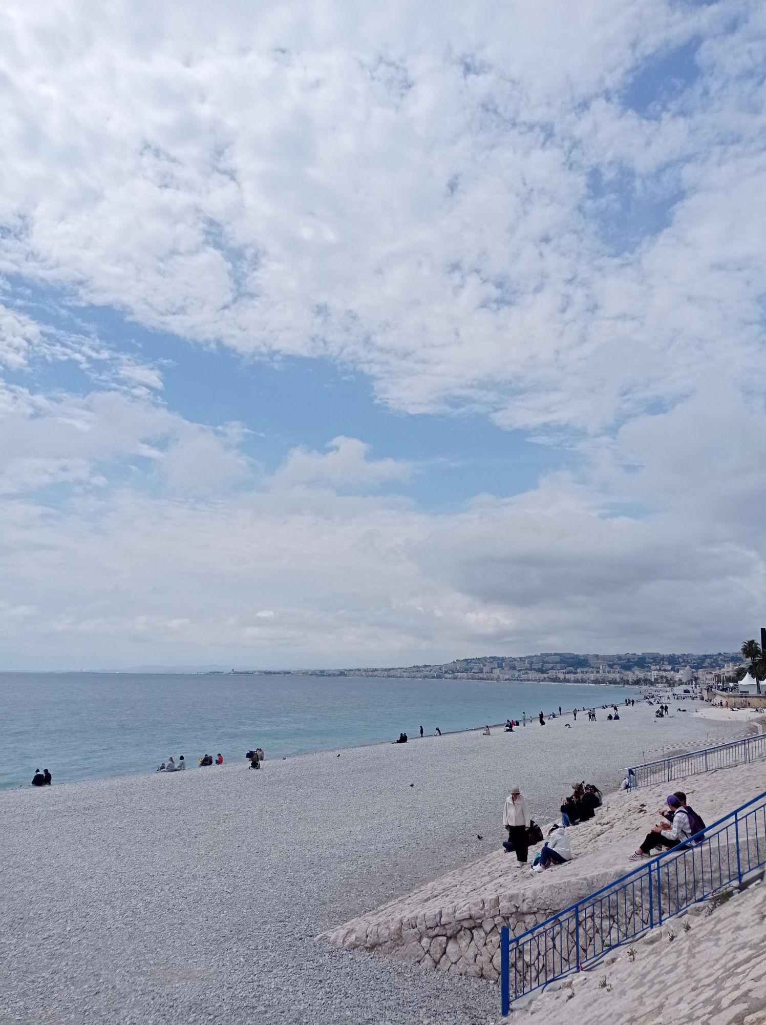
Nice
(6 m)
Mesto
0.1 km
Mont Cima
(878 m)
Vrh
18.9 km
Chapelle Saint-Honorat
(455 m)
Kraj čaščenja
47.3 km
Église Saint-Michel-de-Gast
(586 m)
Kraj čaščenja
62.7 km
Tête de Marre
(2,265 m)
Vrh
88.1 km
Sant'Eusebio
(727 m)
Kraj čaščenja
133.6 km
Cappella di San Gioacchino
(700 m)
Kraj čaščenja
143.6 km
Pot
Zemljevid
The Pagarine Route Trail Edition: A 4-Day Adventure on the Salt Roads
težko
Trailrunning
160.69 km
Nice
(6 m)
Mesto
0.1 km
Chapelle de la Très-Sainte-Trinité et du Saint-Suaire
(7 m)
Kraj čaščenja
0.1 km
Vieux Nice
(7 m)
Soseska
0.2 km
Cascade
(87 m)
Slap
0.4 km
Chapelle Sainte-Croix
(16 m)
Kraj čaščenja
0.5 km
Église Saint-Martin Saint-Augustin
(20 m)
Kraj čaščenja
0.9 km
Chapelle du Saint-Sépulcre
(16 m)
Kraj čaščenja
1.0 km
Cimiez
(75 m)
Soseska
3.3 km
Rimiez
(146 m)
Soseska
5.1 km
La gaîté nallino
(162 m)
Restavracija
5.5 km
Auberge de l'aire Saint-Michel
(317 m)
Restavracija
9.3 km
Cabane des Graus
(497 m)
Zatočišče (brez upravljanja)
11.7 km
Fondalin
(629 m)
Koridor/teren
14.6 km
La Costiera
(561 m)
Koridor/teren
15.2 km
La Vallière
(472 m)
Koridor/teren
15.7 km
La Vigne
(496 m)
Koridor/teren
15.9 km
Chapelle Saint-Claude
(501 m)
Kraj čaščenja
16.0 km
Aspremont
(532 m)
Vas
16.0 km
Caire Soutran
(521 m)
Koridor/teren
16.3 km
Chapelle des Salettes
(567 m)
Kraj čaščenja
16.6 km
Les Barres
(628 m)
Koridor/teren
17.1 km
Mont Cima
(878 m)
Vrh
18.9 km
Levens
(547 m)
Vas
25.2 km
Le Félix Faure
(515 m)
Restavracija
27.1 km
La Madone
(234 m)
Poravnava
31.1 km
Le Cros d'Utelle
(351 m)
Poravnava
31.8 km
La Vigna
(315 m)
Koridor/teren
31.9 km
Église de la Sainte-Trinité
(347 m)
Kraj čaščenja
31.9 km
Colombier
(395 m)
Poravnava
31.9 km
Chapelle Saint-Antoine du Désert
(664 m)
Kraj čaščenja
35.2 km
Sanctuaire Notre-Dame-des-Miracles
(1,175 m)
Kraj čaščenja
39.2 km
Bouché de la Colle de la Mouta
(889 m)
Koridor/teren
41.4 km
Saint-Martin
(864 m)
Koridor/teren
41.6 km
Martinon
(813 m)
Restavracija
42.2 km
Auberge Utelloise
(805 m)
Restavracija
42.4 km
Église Saint-Veran
(804 m)
Kraj čaščenja
42.4 km
Utelle
(806 m)
Vas
42.5 km
Giaume
(714 m)
Koridor/teren
43.3 km
Cabane
(314 m)
Koridor/teren
45.5 km
La Crous
(439 m)
Koridor/teren
46.3 km
Les Amendiers
(468 m)
Koridor/teren
46.6 km
Chapelle Saint-Honorat
(455 m)
Kraj čaščenja
47.3 km
Les Tunas
(463 m)
Koridor/teren
48.0 km
Le Figaret
(439 m)
Poravnava
48.3 km
Le Clot
(467 m)
Poravnava
49.6 km
Condamines
(492 m)
Poravnava
49.8 km
Les Condamines
(520 m)
Poravnava
50.0 km
Église Notre-Dame des Anges
(647 m)
Kraj čaščenja
51.3 km
Pélasque
(648 m)
Poravnava
51.3 km
Chapelle Saint-Georges
(667 m)
Kraj čaščenja
53.7 km
Bastida
(638 m)
Koridor/teren
54.2 km
Lantosque
(483 m)
Vas
56.2 km
Lou Gust
(473 m)
Restavracija
56.3 km
Les Tilleuls
(473 m)
Restavracija
56.3 km
Roquebillière
(614 m)
Vas
62.3 km
La Bourgade
(574 m)
Koridor/teren
62.6 km
Église Saint-Michel-de-Gast
(586 m)
Kraj čaščenja
62.7 km
Vieux Village
(597 m)
Soseska
62.9 km
Chapelle Saint Roch
(617 m)
Kraj čaščenja
63.3 km
Preinas
(600 m)
Koridor/teren
63.7 km
Le Marc
(681 m)
Poravnava
64.4 km
Belvédère
(820 m)
Vas
65.0 km
La Fuont
(995 m)
Poravnava
66.4 km
La Festoula
(962 m)
Koridor/teren
71.8 km
Le Toron
(965 m)
Koridor/teren
79.4 km
Église Notre-Dame de l'Assomption
(954 m)
Kraj čaščenja
80.5 km
Chapelle de la Miséricorde
(956 m)
Kraj čaščenja
80.6 km
Chapelle Sainte-Croix
(965 m)
Kraj čaščenja
80.7 km
Saint-Martin-Vésubie
(965 m)
Vas
80.8 km
Brusquet
(983 m)
Koridor/teren
81.0 km
Tête de Marre
(2,265 m)
Vrh
88.1 km
Vacherie de la Madone
(1,872 m)
Koridor/teren
95.4 km
Sanctuaire de la Madone de Fenestre
(1,906 m)
Kraj čaščenja
95.7 km
Refuge de la Madone de Fenestre
(1,908 m)
Zavetišče
95.8 km
Piano del Praiet
(1,800 m)
Koridor/teren
103.0 km
Piazzale dei Cannoni
(1,433 m)
Koridor/teren
106.0 km
Baita del Monte Gelas
(1,217 m)
Restavracija
109.1 km
Rifugio San Giacomo
(1,219 m)
Zavetišče
109.1 km
San Giacomo
(1,217 m)
Poravnava
109.1 km
Colletto del Vailetto
(1,537 m)
Gorski prelaz
116.1 km
Cappella di Maria Ausiliatrice in Esterate
(1,085 m)
Kraj čaščenja
118.3 km
Vecchio Mulino
(868 m)
Restavracija
120.5 km
Cappella di San Rocco
(869 m)
Kraj čaščenja
120.6 km
Entracque
(901 m)
Vas
121.6 km
Confraternita di Santa Croce
(894 m)
Kraj čaščenja
121.6 km
Real Park
(803 m)
Restavracija
125.4 km
Constancia Trattoria
(801 m)
Restavracija
128.2 km
Confraternita Santa Croce
(794 m)
Kraj čaščenja
128.3 km
Valdieri
(787 m)
Vas
128.4 km
San Martino
(787 m)
Kraj čaščenja
128.4 km
Trattoria La Locanda del Falco
(777 m)
Restavracija
128.5 km
Grotte del Bandito
(723 m)
Vhod v jamo
131.9 km
Bandito
(714 m)
Poravnava
132.4 km
Ruota 2
(712 m)
Restavracija
133.3 km
Sant'Eusebio
(727 m)
Kraj čaščenja
133.6 km
Andonno
(732 m)
Poravnava
133.7 km
Bedoira
(735 m)
Poravnava
142.6 km
Cappella di San Gioacchino
(700 m)
Kraj čaščenja
143.6 km
La Fermata
(699 m)
Restavracija
143.6 km
Parrocchiale Sant'Antonio Abate
(674 m)
Kraj čaščenja
145.0 km
Confraternita di San Sebastiano
(675 m)
Kraj čaščenja
145.3 km
Roccasparvera
(679 m)
Vas
145.3 km
Tetto Giordano
(934 m)
Koridor/teren
148.9 km
Pizzeria da Marco
(629 m)
Restavracija
151.6 km
Vignolo
(622 m)
Vas
151.8 km
Santa Croce (Vignolo)
(585 m)
Vas
154.2 km
Santa Croce (Cervasca)
(584 m)
Vas
154.8 km
Cappella Sant'Anna
(506 m)
Kraj čaščenja
159.1 km
Basse Sant'Anna - Borgo Nuovo
(506 m)
Poravnava
159.3 km
Cuneo
(534 m)
Mesto
160.1 km
Centro storico
(533 m)
Soseska
160.7 km
Informacije o turneji
Set out on an unforgettable journey along “La Route Pagarine,” a trail running route consisting of four challenging and spectacular stages between France and Italy.

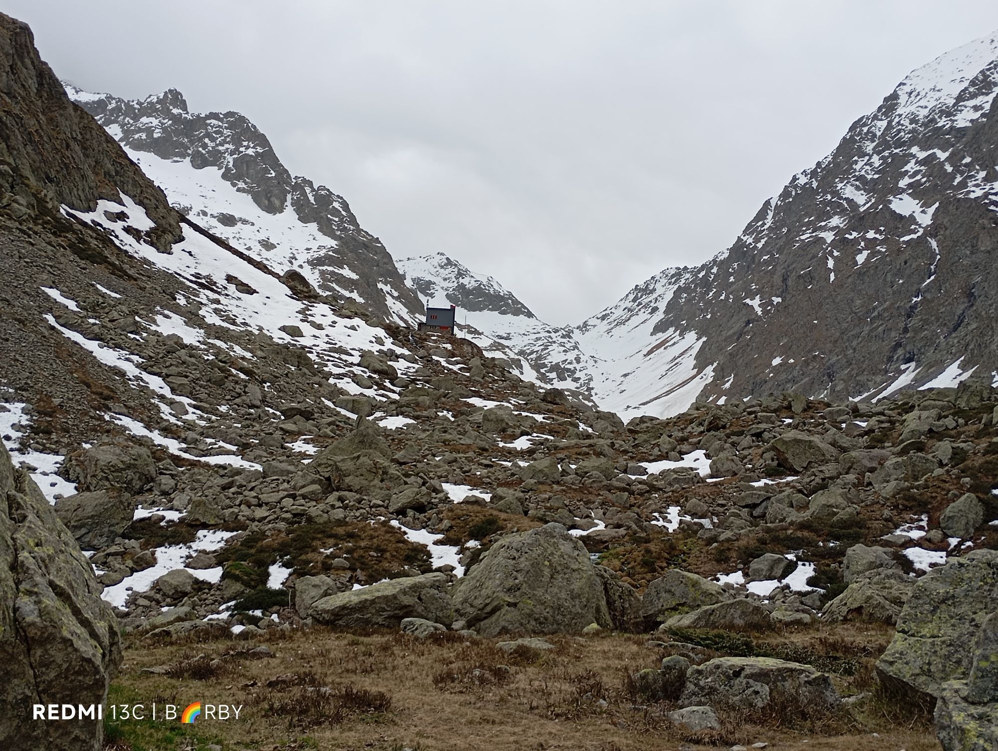
From the turquoise waters of the Mediterranean to the hilltop villages of the Nice hinterland, from the rocky ridges of the Mercantour National Park and the Alpi Marittime Park all the way to the finish in Cuneo, a centuries-old city on the salt routes, join us for this timeless sporting and historical adventure.

Tehnologija
2 / 6
Stanje
6 / 6
Pokrajina
6 / 6
Izkušnje
6 / 6
Najboljši letni čas
Jan
Feb
Mar
Apr
Maj
Jun
Jul
Avg
Sep
Okt
Nov
Dec
Skupna turneja
Zemljevid
The Pagarine Route Trail Edition: A 4-Day Adventure on the Salt Roads
težko
Trailrunning
160.69 km
Napaka
Zgodila se je napaka. Prosimo, poskusite znova.
Informacije o poti
Geološki poudarki

Da

Ogled vrha

Da

Varnostna navodila

In case of an emergency, dial 112

Informacije o prihodu
Prihod

Consider carpooling

Javni prevoz

Choose public transportation for your trips

Dodatne informacije in nasveti
Stopnja težavnosti

T2
Nasveti
Le projet des Routes du Sel est le fruit d’une coopération transfrontalière réussie entre collectivités territoriales, parcs naturels et chambres consulaires des Alpes-Maritimes du Piémont et de la Ligurie.
Še ni pregledov
Napišite pregled

Mnenja pomagajo drugim uporabnikom pri izbiri naslednje pustolovščine. Ocenite samo izlet, ne pa tudi vremena ali prigrizka.

Izberite eno od zvezdic, da ocenite ogled
Slaba turneja
Šibka turneja
Povprečna turneja
Dobra tura
Odlična tura
Pohodništvo in sledenje

Pohodništvo in sledenje

prenos za iOSprenos za Android
Pohodništvo in sledenje
Zaradi več kot 550.000 predlogov izletov, podrobnih zemljevidov in intuitivnega načrtovanja poti je aplikacija obvezna oprema za vse ljubitelje narave.
bergfex