


SAUZE D'OULX ring Lake Laune - Mount Genevris
Stopnja težavnosti: T2


Challenging but extremely scenic loop itinerary leading to the summit of Mt. Genevris via the beautiful Laune Lake. The hike alternates between stretches on a forest road and paths through woods and wide...
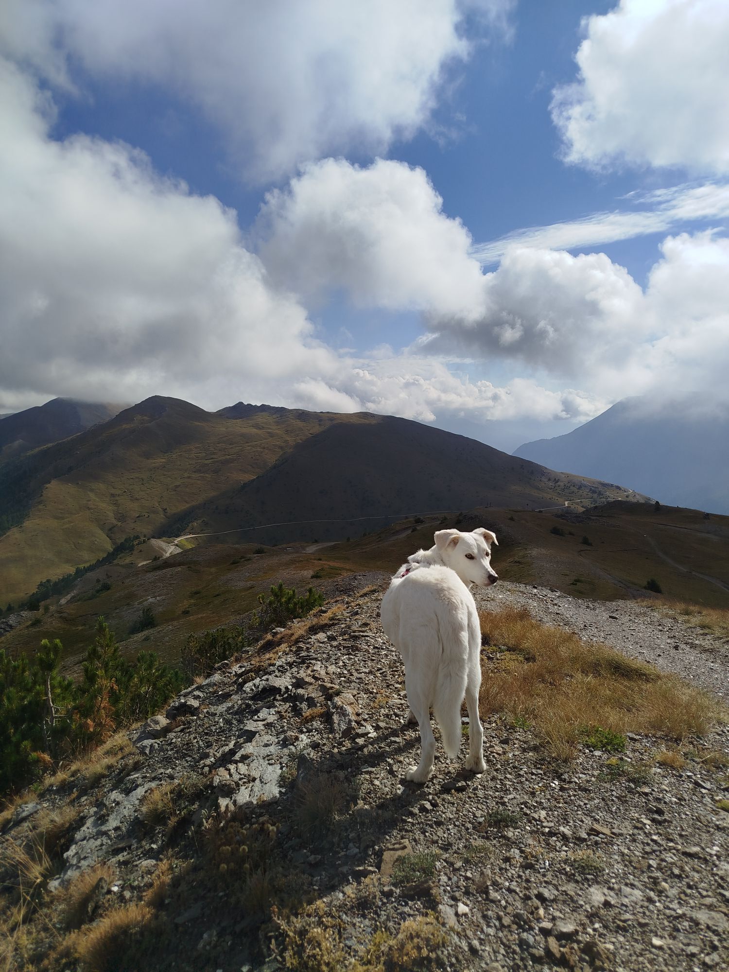
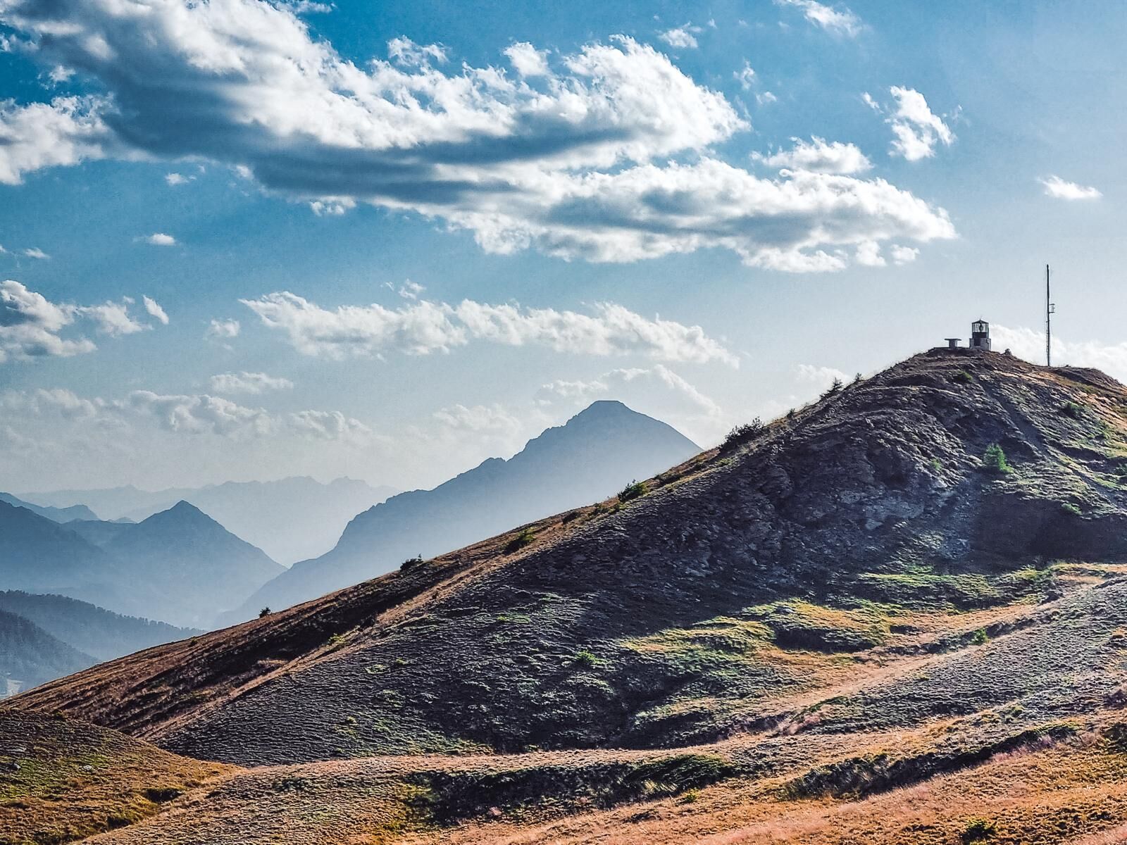
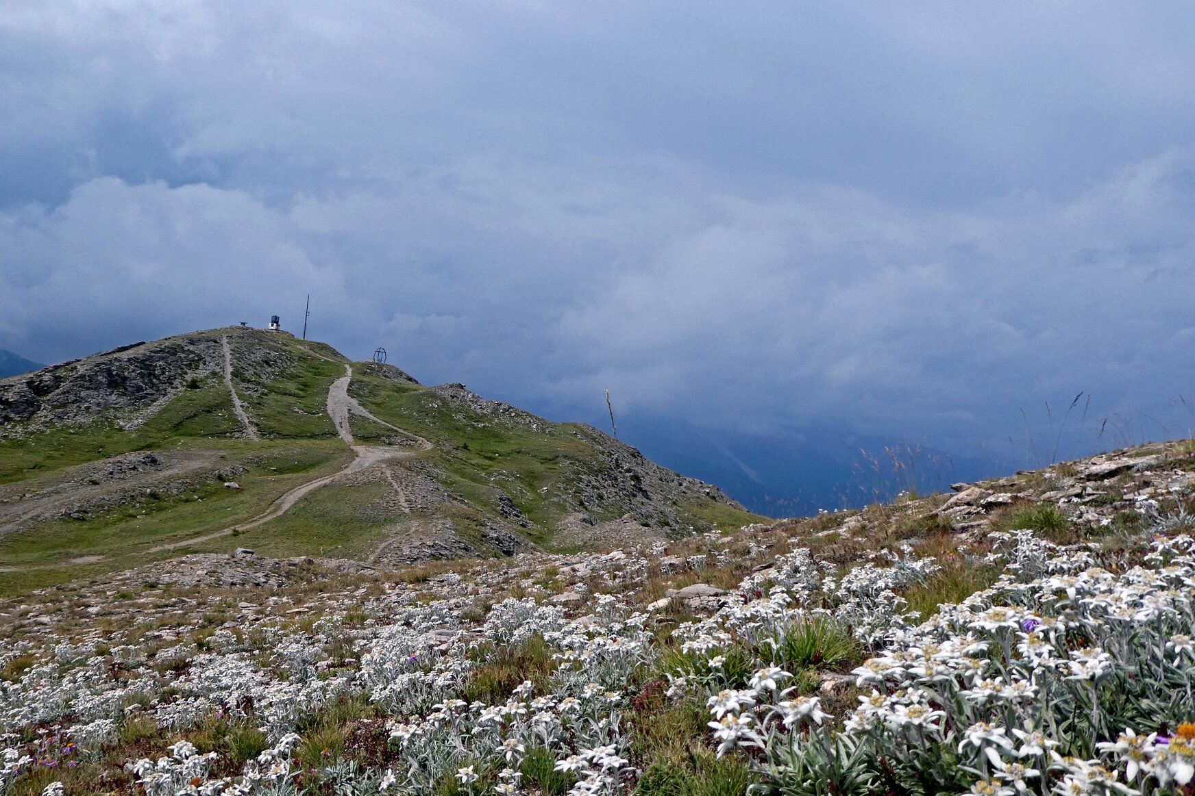
Challenging but extremely scenic loop itinerary leading to the summit of Mt. Genevris via the beautiful Laune Lake. The hike alternates between stretches on a forest road and paths through woods and wide clearings, until reaching the Costa Piana Pass. From here you meet the famous Assietta Road, which accompanies the itinerary along an evocative stretch of ridge, on a steep slope, until you reach the Alpine Lighthouse.
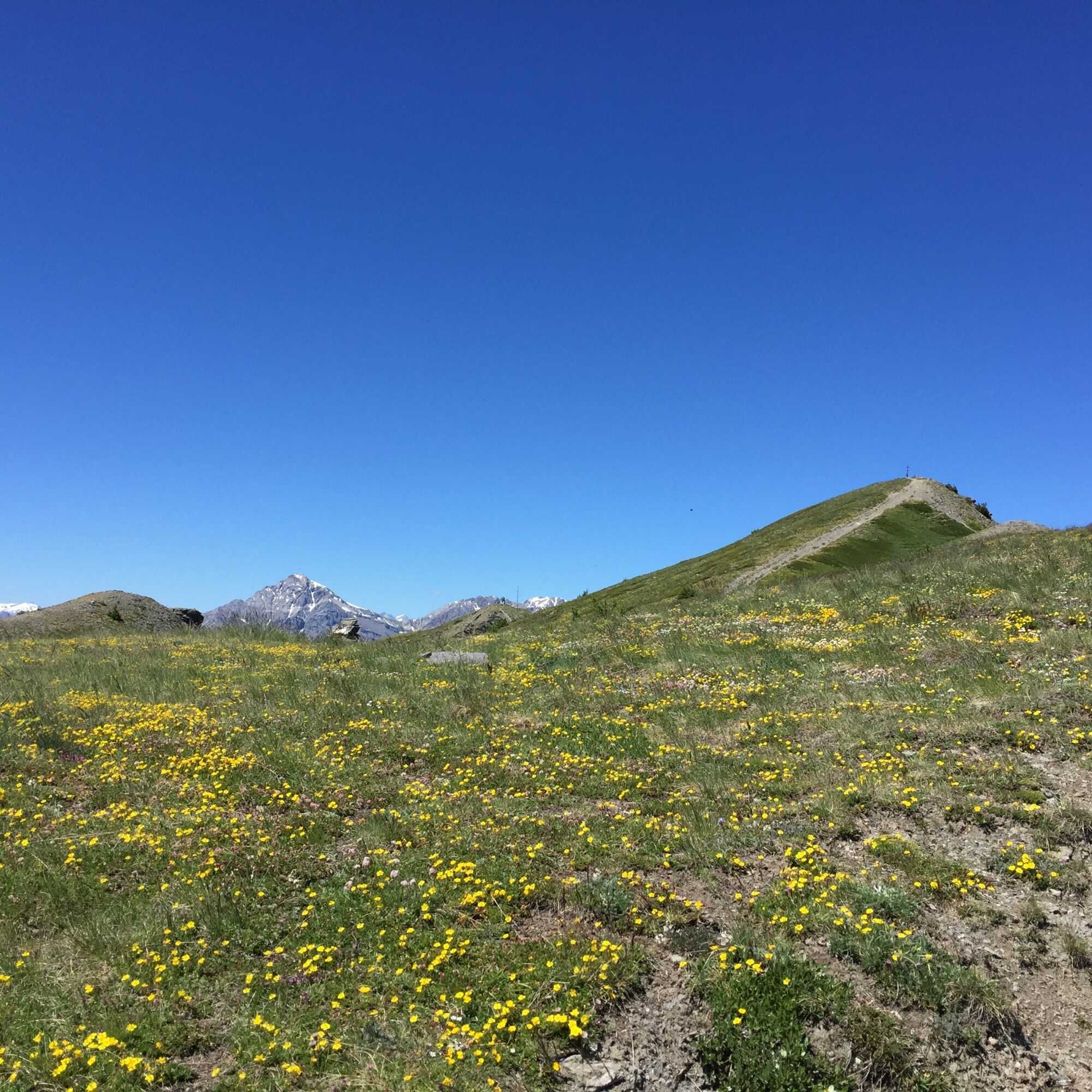
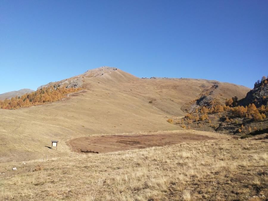
Passing the prairies beyond the Lighthouse, you reach the Assietta Road, which is followed as far as Col Blegier. At this point you enter the Gran Bosco Nature Park and, after skirting the peat bog, continue on an easy descent to Ferro di Cavallo.
From Ferro di Cavallo you return to Lake Laune and then to the starting point, going back along the same path used on the outward journey.
Support and technical description by Barbara Demonte - Environmental hiking guide.
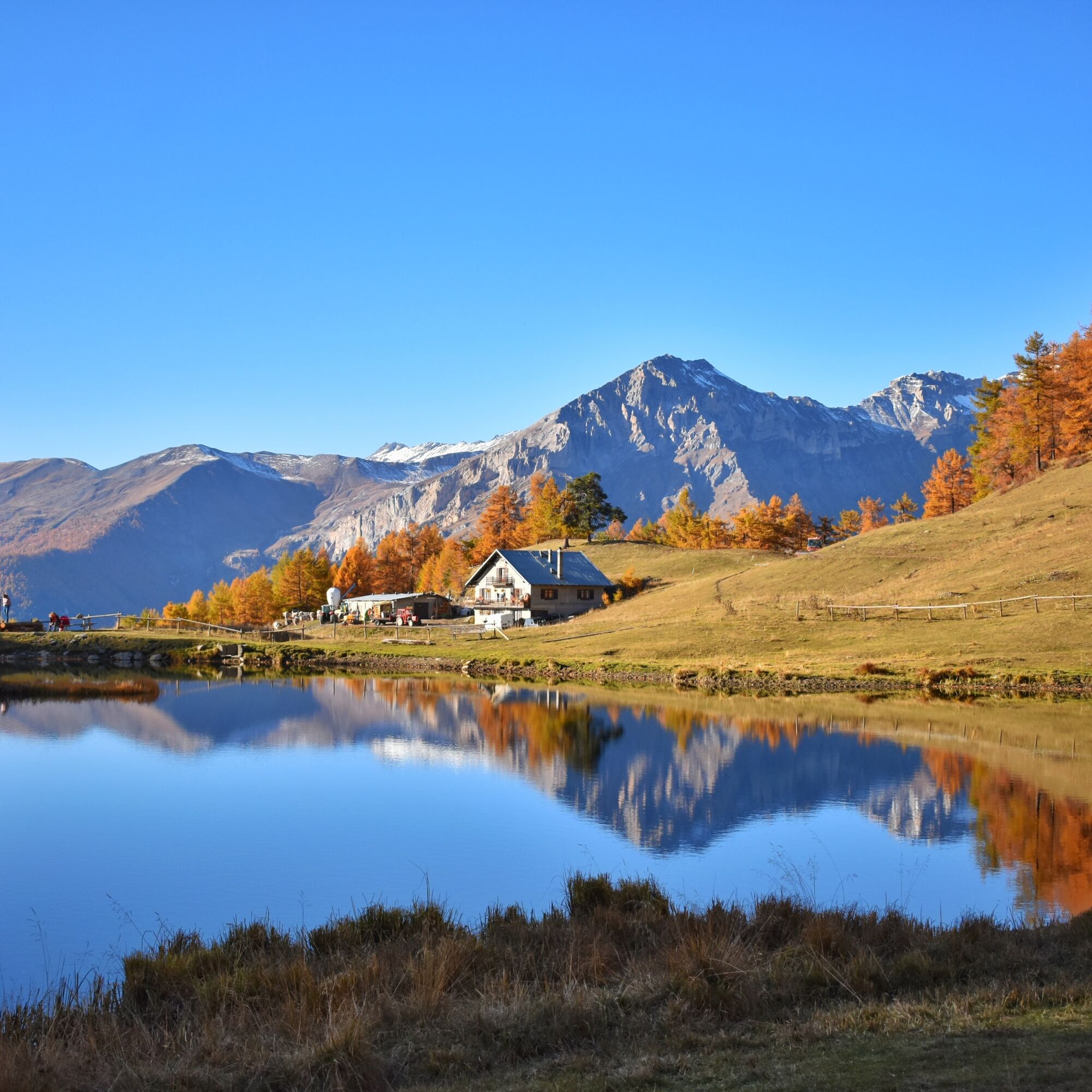
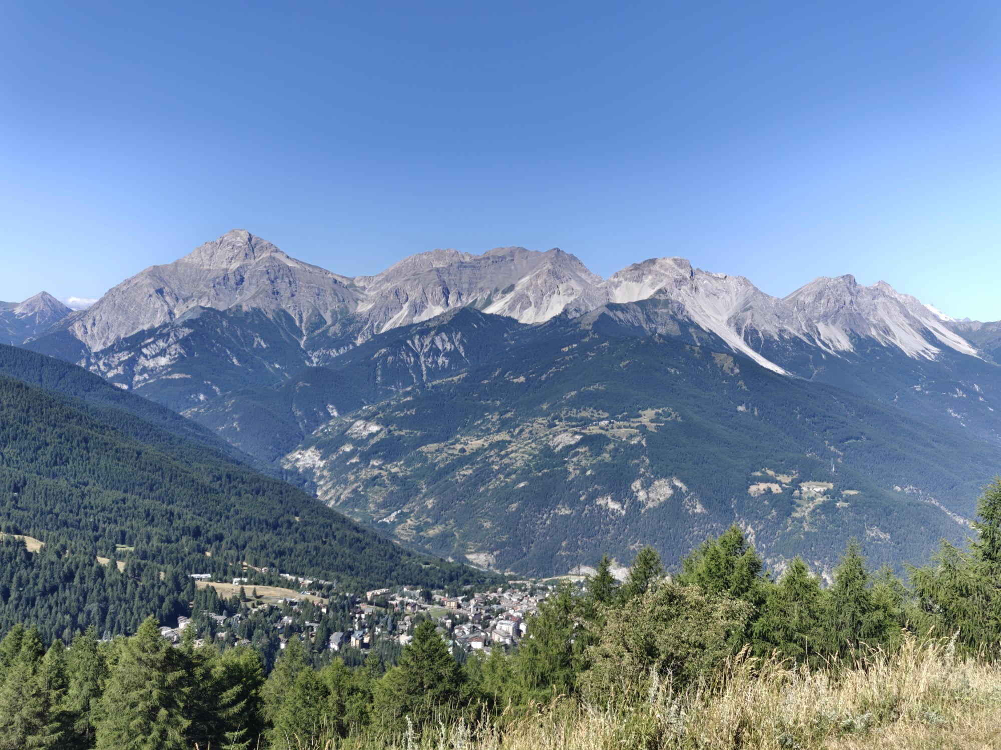
The trail begins at an elevation of mt. 1,850 near the Former Vezzani Alpine Experimental Station, where the paved road from the hamlet of Richardette to Monte di Sauze d'Oulx ends and the Assietta (dirt) road begins. Park at the mouth of this carriageway at the edge of it, but space is limited; in July and August alternatively, you can use the local shuttle.
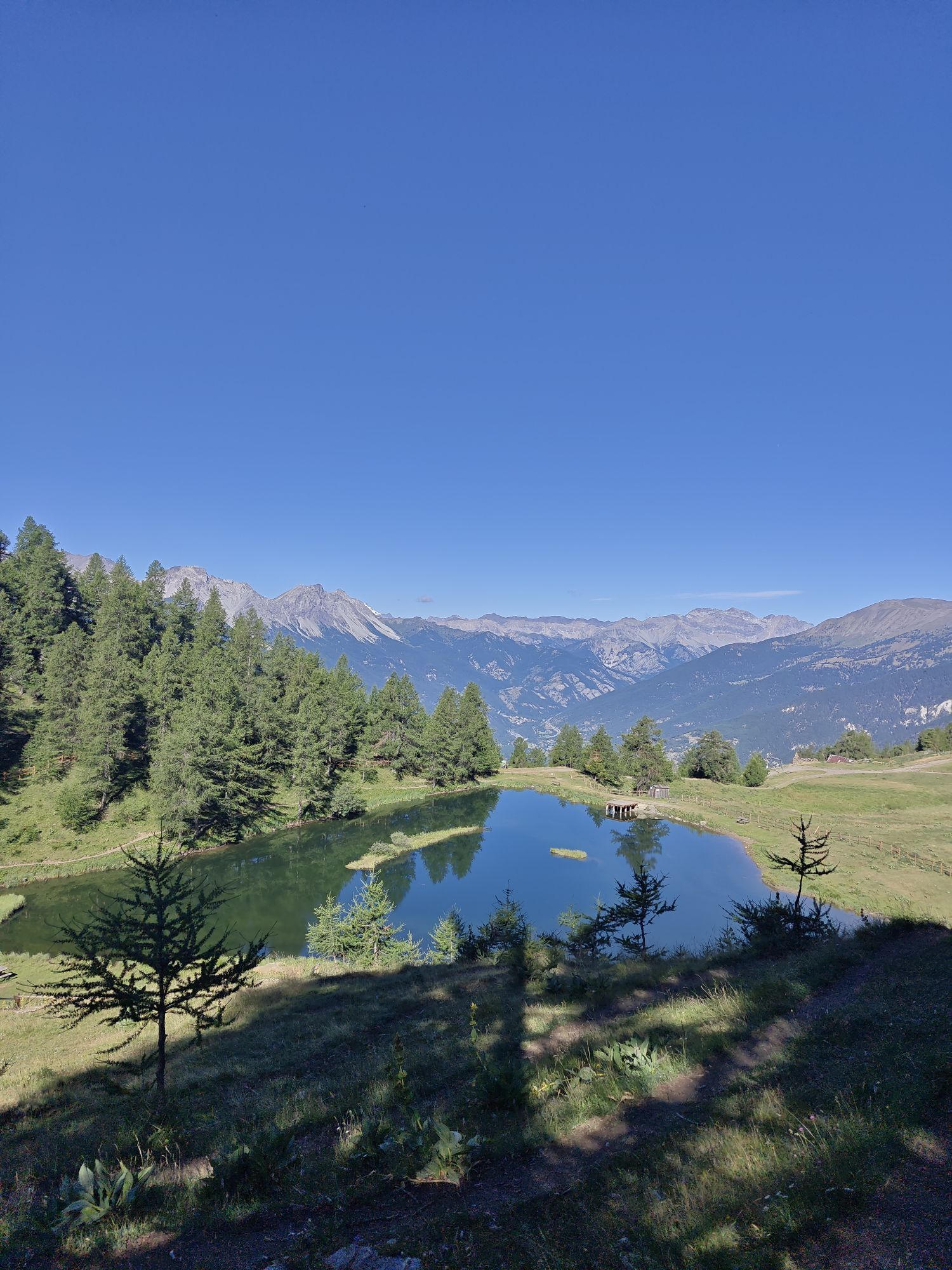
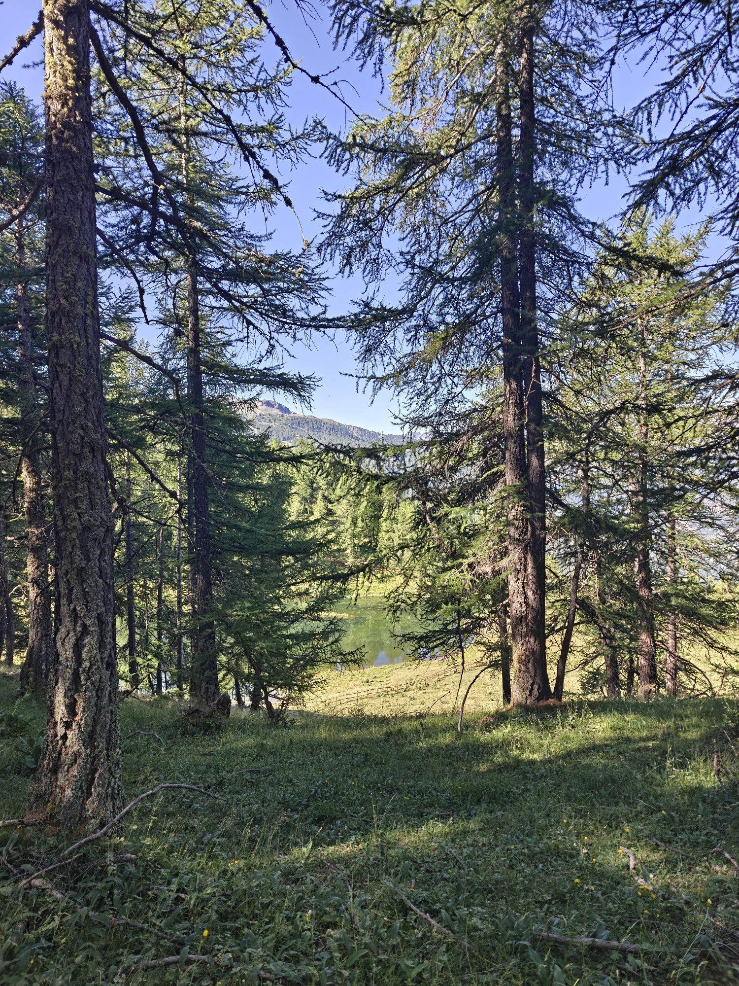
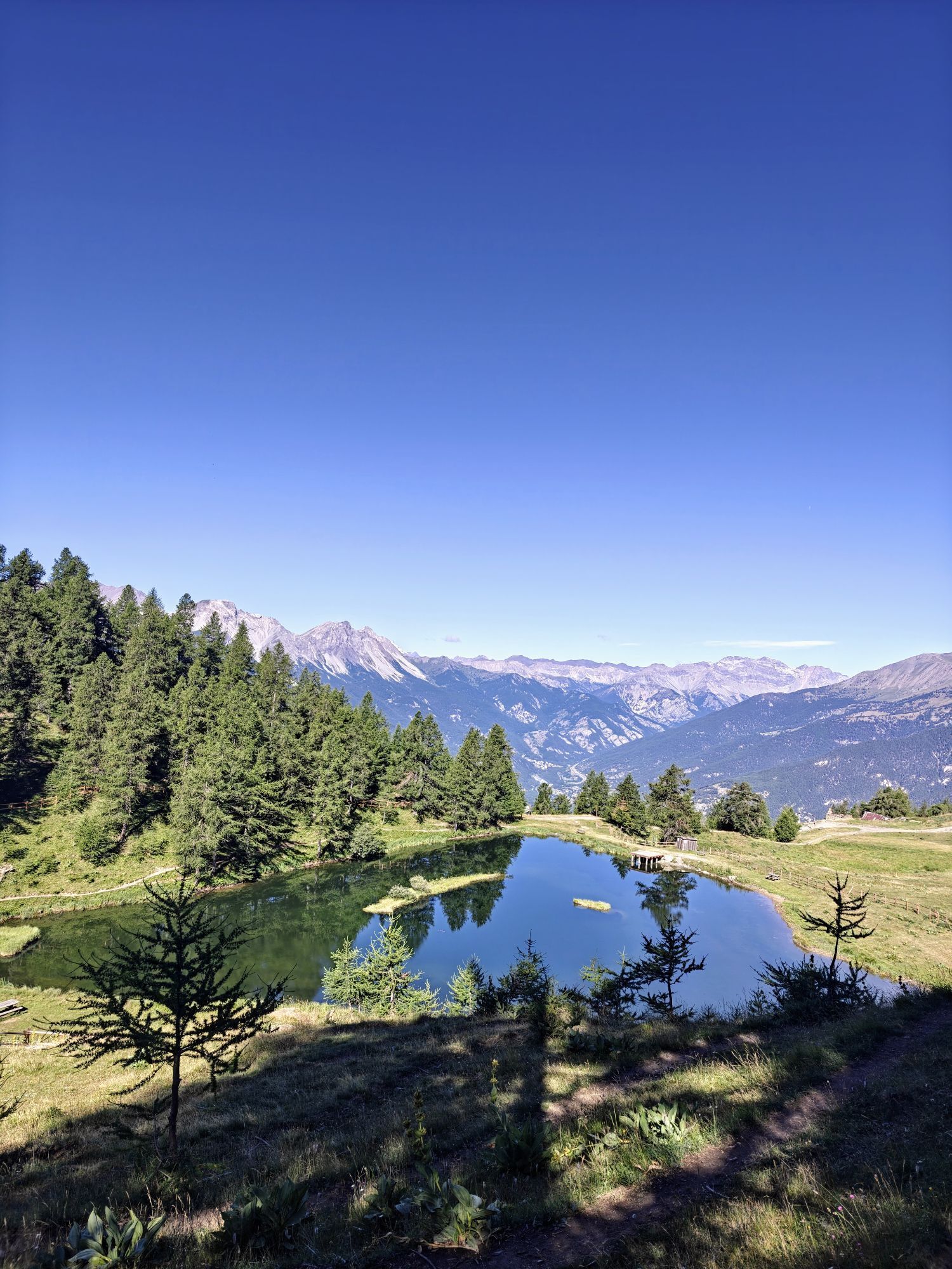
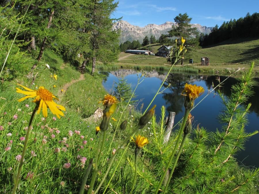
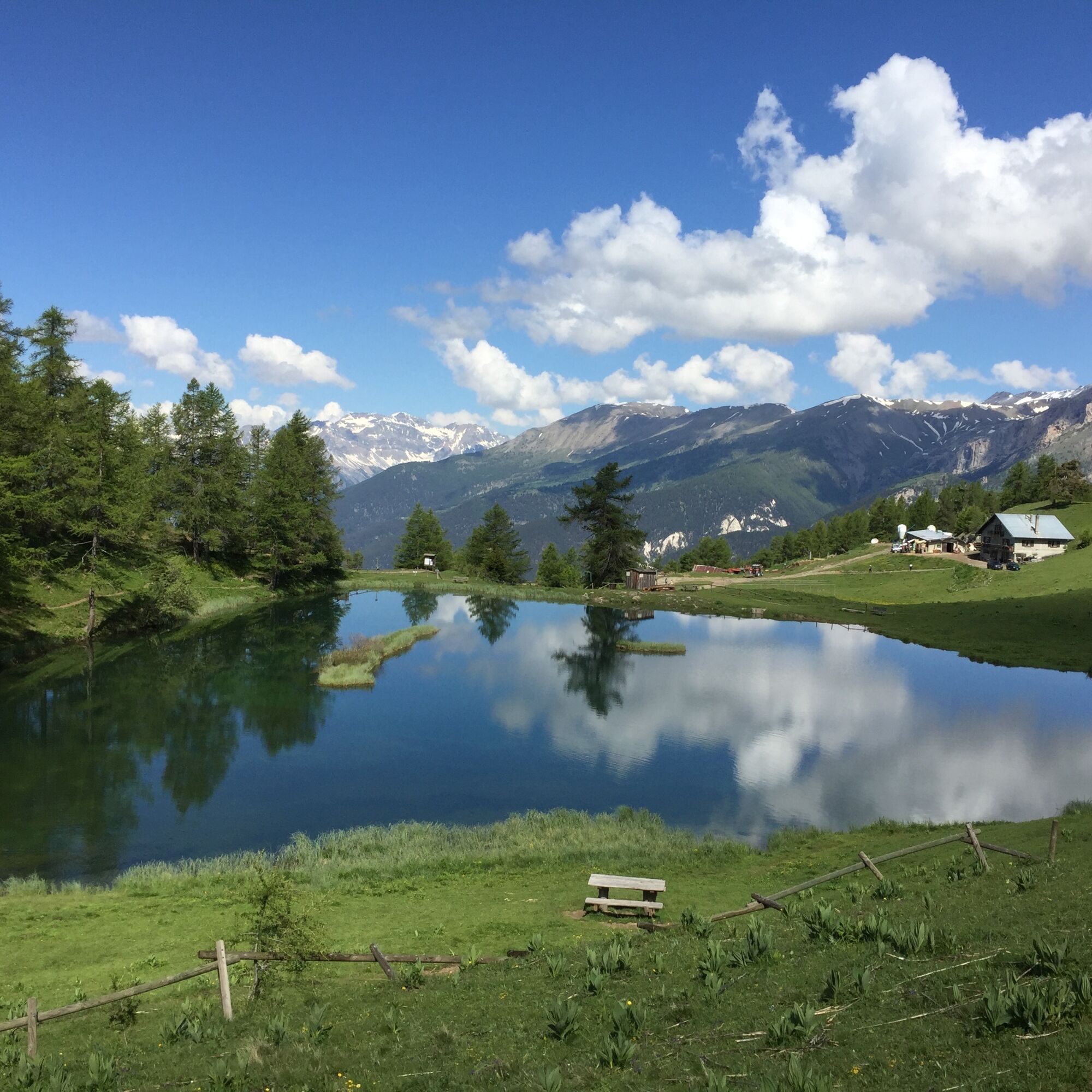
Begin the route by crossing the Vezzani complex and following the dirt road, in some sections also quite steep, that leads to Lake Laune and the alpine pasture of the same name (altitude about 2,050 m); continue to the right until reaching the lake at an altitude of about 2,080 m.
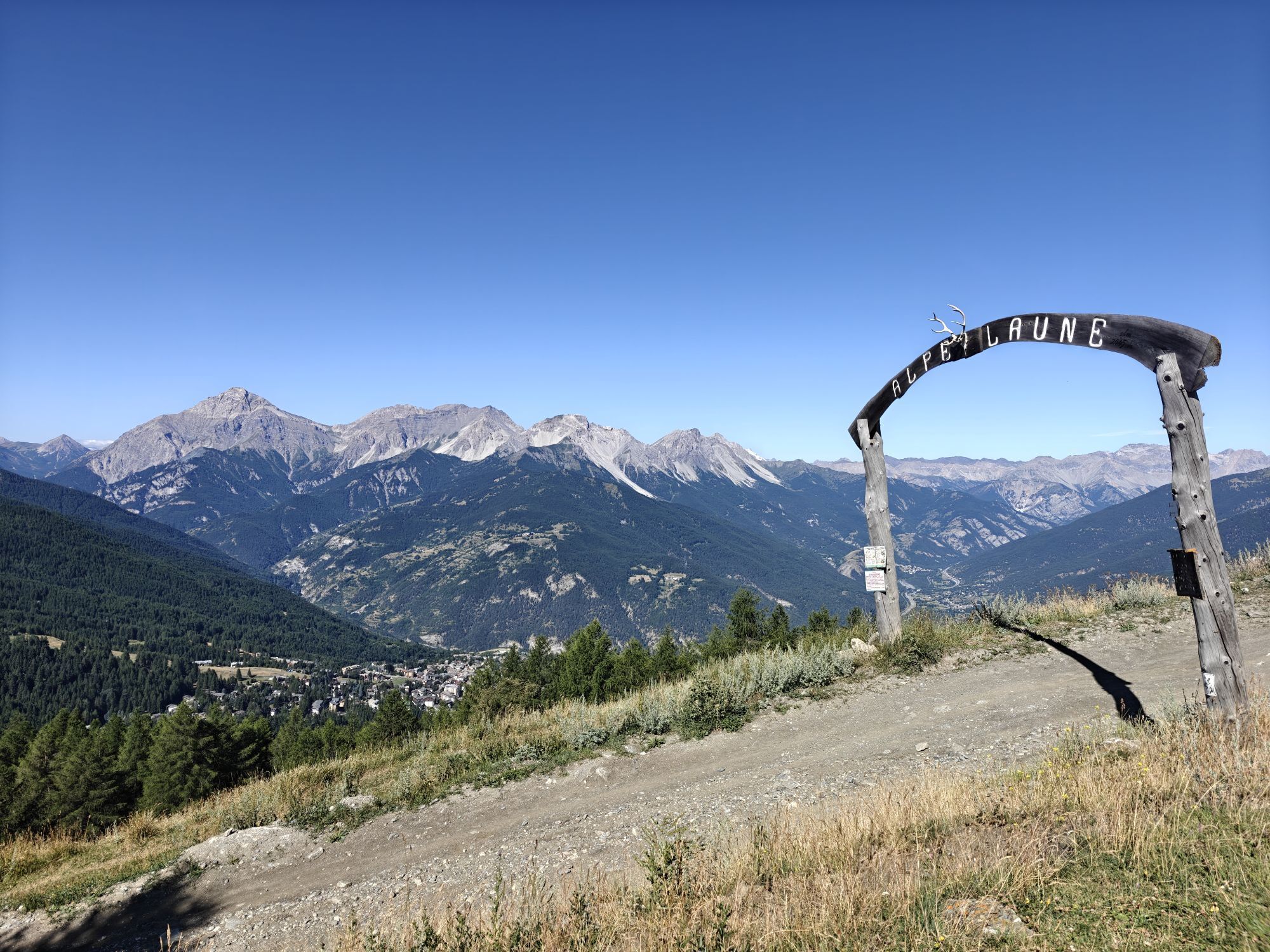
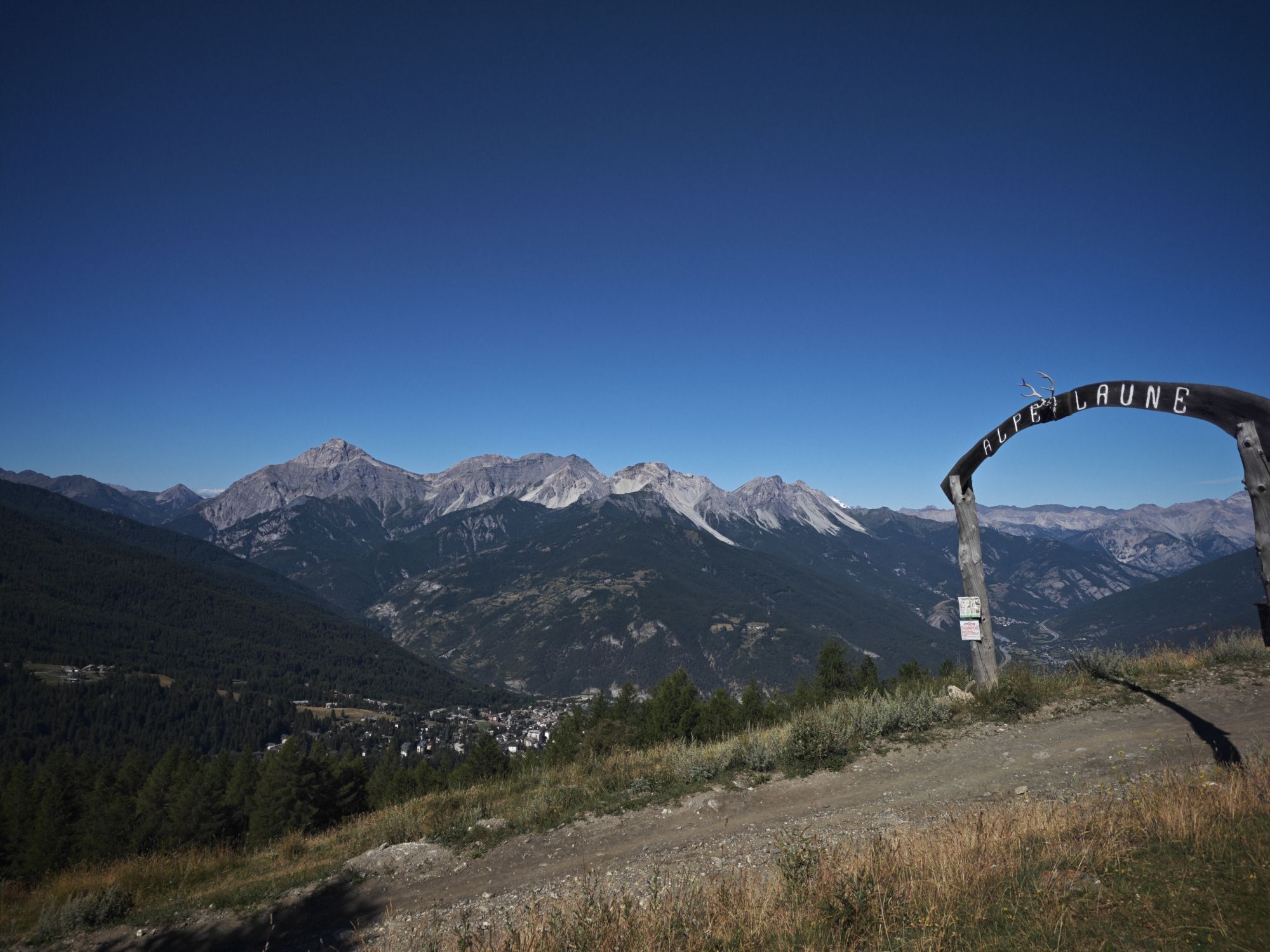
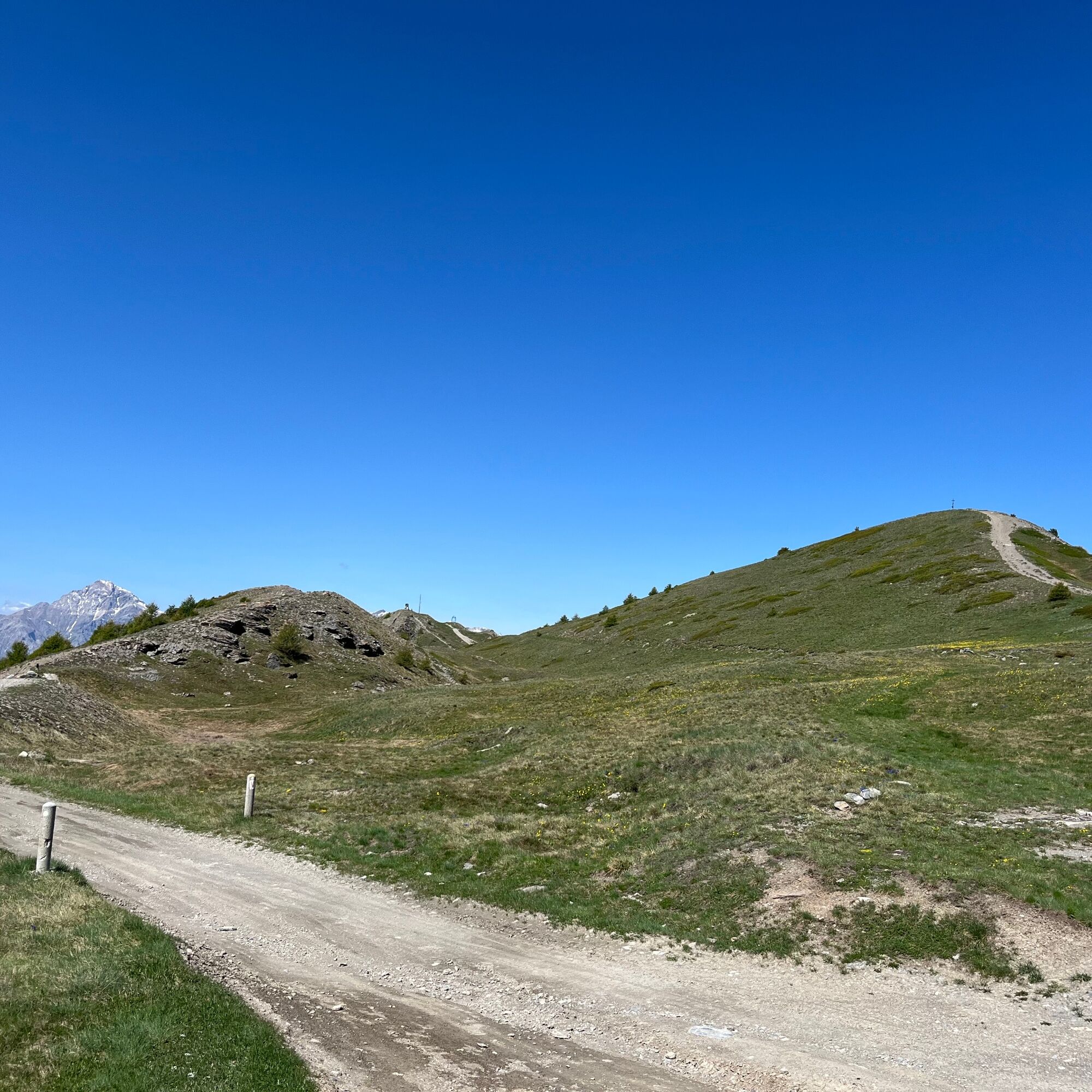
Continue skirting the right side of the lake; when you reach the peak, take the path steeply uphill straight ahead in the direction of Faro degli Alpini and Colle di Costa Piana.
At an altitude of about mt. 2,190 you will reach a grassy plateau: be careful not to proceed straight ahead on the level, but turn left onto the trail marked only No. 6, under the words Regione Piemonte.
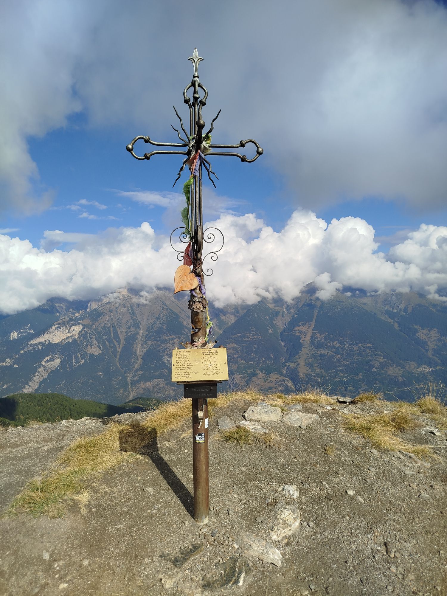
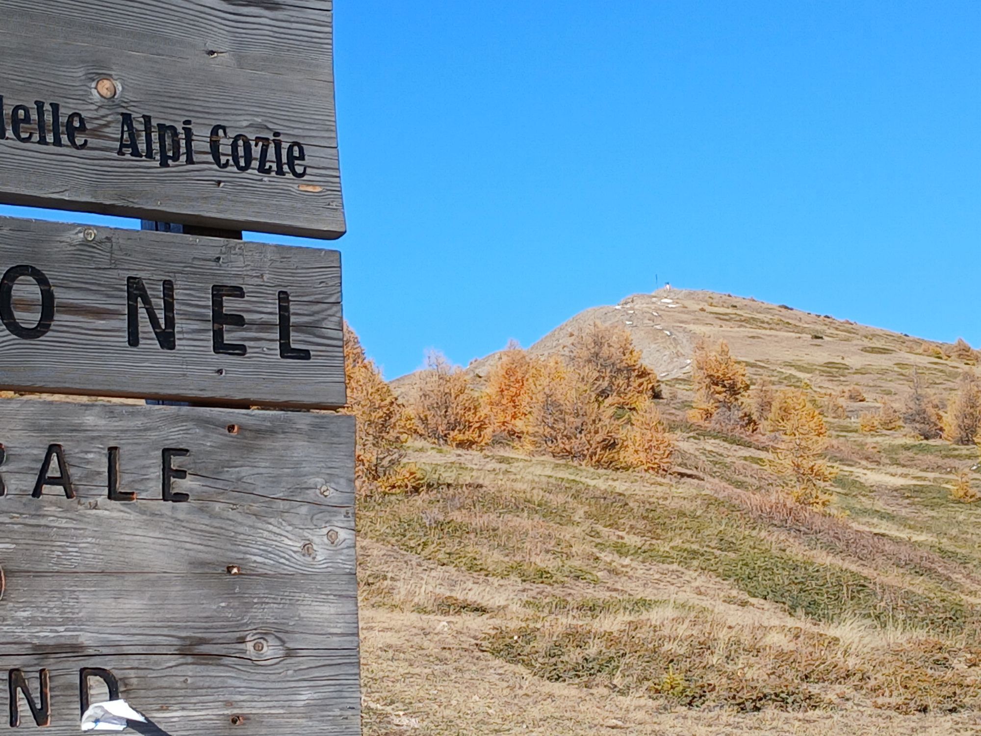
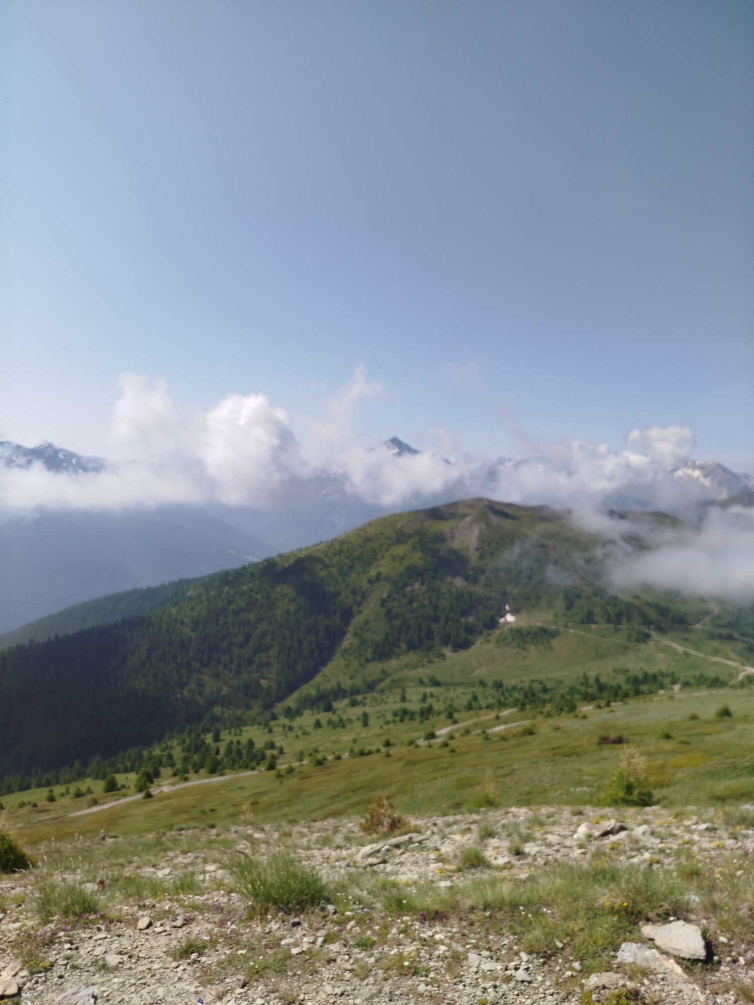
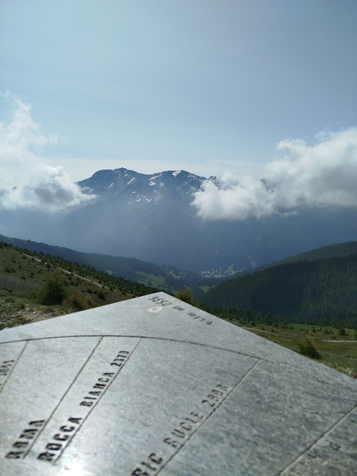
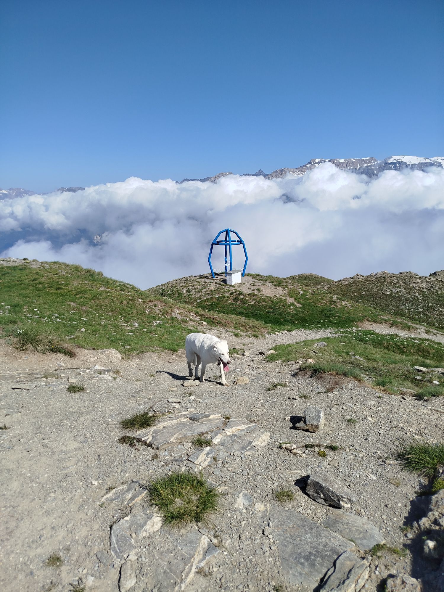
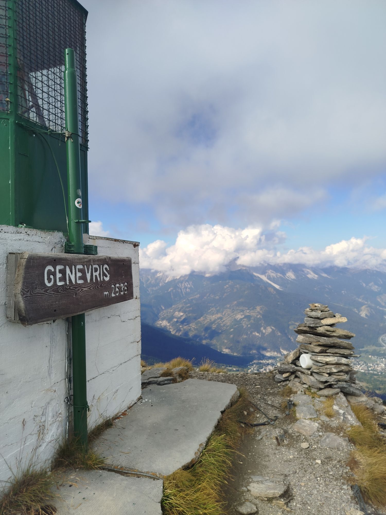
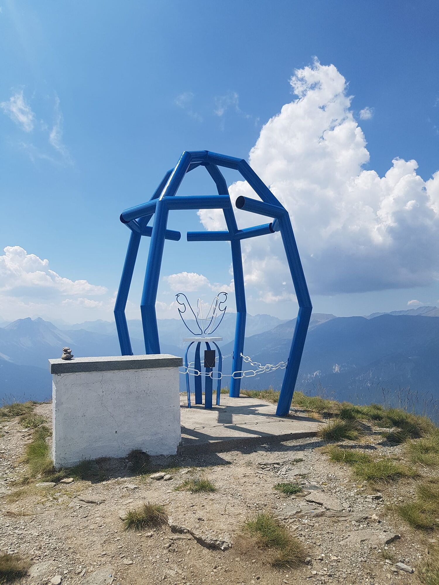
At an altitude of about mt. 2,240 the trail turns right at a small cattle watering trough and then comes out on another plateau at an altitude of about mt. 2,280, where we find the signs for the Colle di Costa Piana; the trail descends a little and then immediately climbs up again, taking the track that passes in front of a disused ski lift and, after a few hairpin bends, leads to the Colle di Costa Piana at an altitude of mt. About 2,320; the Assietta Road passes here, which you ignore and, continuing to the left on the ridge trail that passes near a bunker at an altitude of mt. 2,360, you reach Monte Genevris or Faro degli Alpini at an altitude of mt. 2,535.
Cross the plateau behind the Lighthouse and reach the Assietta Road. Turn left and follow the dirt road for just over 1 km until you reach Col Blegier mt. 2,379.
Here turn left and pass the bar that marks the entrance to the Gran Bosco di Salbertrand Nature Park. Follow the dirt road that, after about 30 minutes of walking, reaches the narrow hairpin bend indicated as Ferro di Cavallo mt. 2,169.
Turn left immediately and after a few meters turn left again, ignoring the access to path 3 in front. Follow the path through the woods that skirts the lake and returns to the same trail as the outward journey.
Da
Wear appropriate clothing and footwear for the environment and season.
Train from Turin P.N to Bardonecchia (Oulx-Cesana-Claviere-Sestriere stop)
Bus Arriva line 285 from Oulx to Sauze d'Oulx
Former Vezzani Alpine Experimental Station - Sauze d'Oulx
T2
Before embarking on any excursion, it is advisable to consult weather reports or ask for information at local Tourism Offices. It is good practice not to undertake a hike alone, always notify your destination.
Do not throw garbage into the environment but take it with you picking up any garbage left by others.
The hiking times given are approximate and may vary depending on weather conditions and your own ability.
Spletne kamere s turneje
Priljubljeni izleti v okolici
- 5,0
BARDONECCHIA Colle Sommeiller
srednjaMountainbike 25,4 km - 5,0
BARDONECCHIA Forte Jafferau Loop
težkoMountainbike 36,8 km - 5,0
BARDONECCHIA Decauville
srednjaPohodništvo 7,29 km BARDONECCHIA - Loop Colle della Scala - Col de Montgenèvre - Colle del Sestriere
težkoCestno kolo 91,9 km- 5,0
SESTRIERE Monte Rognosa
težkoPohodništvo 6,42 km BARDONECCHIA Monte Jafferau
težkoPohodništvo 11,6 kmBARDONECCHIA Rochemolles Dam - Scarfiotti Refuge
srednjaPohodništvo 7,77 km- 5,0
CESANA T.SE Thures - Cima Bosco
težkoSnežni čevlji 3,94 km - 5,0
CESANA T.SE Cesana - Fenils
svetlobaPohodništvo 4,60 km OULX Borgata Seu (Gran Bosco Natural Park)
svetlobaSnežni čevlji 5,93 km
Pohodništvo in sledenje


Ne zamudite ponudb in navdiha za naslednje počitnice
Vaš e-poštni naslov je bil dodan na poštni seznam.