







VILLAR PELLICE Ciarmis - Gardetta Loop
Start from the bridge over the Rio Rospart, just before entering the Municipality of Villar Pellice. You will quickly reach the distinctive and old hamlet of Ciarmis (730 m), then follow the unpaved road...
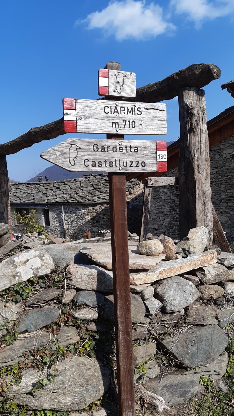
Start from the bridge over the Rio Rospart, just before entering the Municipality of Villar Pellice. You will quickly reach the distinctive and old hamlet of Ciarmis (730 m), then follow the unpaved road to the hamlet of Ciarbounil (958 m). Just above the houses, we follow the path that cuts the hairpin bends of the road arriving at the locality of Serre (1,065 m), where there is a fork: keep right continuing on the forest track called "della Gardetta", which ends just before the Carofrate stream, the watershed between the Municipalities of Torre Pellice and Villar Pellice.
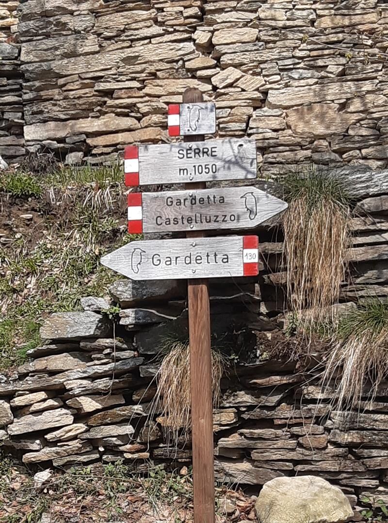
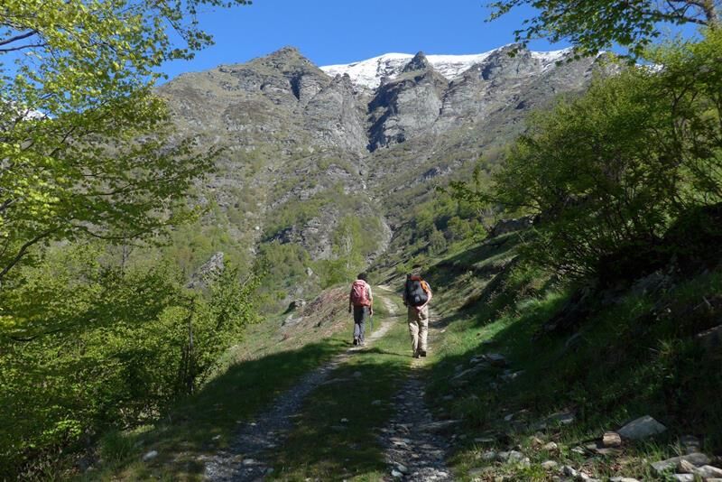
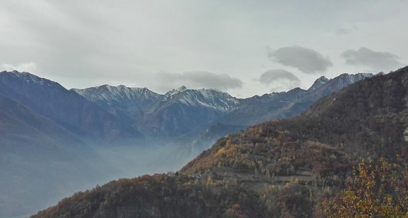
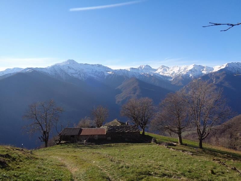
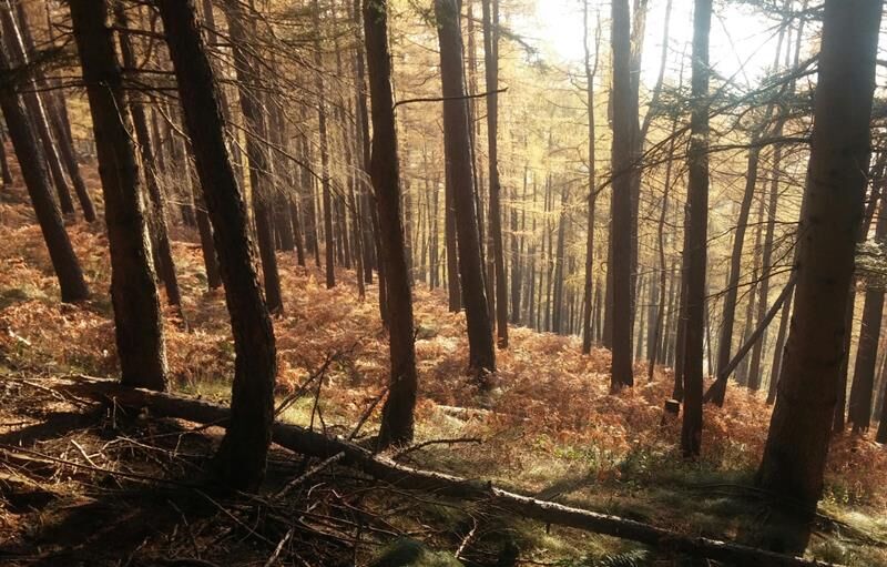
After crossing the stream, take the path towards Gardetta - Castelluzzo, then after some hairpin bends follow the signs that, at the fork, lead left. The route unfolds in an area of remarkable value: woods, rocky peaks, panoramic points from which you can look out over the entire Val Pellice, the distinctive peak of Castelluzzo, and Monte Vandalino. We cross the Carofrate stream again and continue on a slight slope until the locality of Gardetta (1,245 m).
The descent can be made along the dirt road or via the path: both quickly lead back to the starting point.


Da
Appropriate clothing and equipment are recommended.
Reaching Villar Pellice is easy, following the A55 towards Pinerolo for those coming from Turin. Near Pinerolo follow the signs for Val Pellice and then for Villar Pellice.
By bus
www.cavourese.it
Free public parking spaces are available at the starting point.
Before starting any hike it is advisable to check the weather reports or ask for information at local Tourist Offices.
It is good practice not to hike alone, always inform someone of your destination.
Do not litter the environment but carry your trash with you, collecting any left by others if possible.
The indicated walking times are approximate and may vary depending on weather conditions and personal ability.
The trail is marked by white/red signs and arrows with the logo of a woodpecker.
Priljubljeni izleti v okolici
-
5.0
BOBBIO PELLICE Upslowtour - Ring 2 of the refuges
težkoKolesarjenje 37.6 km -
5.0
Invincibles valley - Alpe Caugis
Pohodništvo 15.3 km -
5.0
BOBBIO PELLICE: Hike to the Barbara Lowrie Mountain Hut
težkoCestno kolo 9.19 km -
BRICHERASIO The Via della Pietra
svetlobaKolesarjenje na dolge razdalje 11.5 km -
BOBBIO PELICE Trekking in the hamlets and forests around Bobbio
srednjaPohodništvo 7.72 km -
TORRE PELLICE The Shepherds' Way
svetlobaMountainbike 11.0 km -
TORRE PELLICE Naturalistic trail "The Jay"
svetlobaPohodništvo 10.2 km -
PRAROSTINO From Piani to Sonagliette and back - SLOWLY TOGETHER
svetlobaPohodništvo 6.60 km -
VILLAR PELLICE Inverso path
svetlobaPohodništvo 5.62 km -
The Fort Roads - stage 11 from Massello to Prali
težkoRomarska pot 13.7 km

Pohodništvo in sledenje


Ne zamudite ponudb in navdiha za naslednje počitnice
Vaš e-poštni naslov je bil dodan na poštni seznam.





