


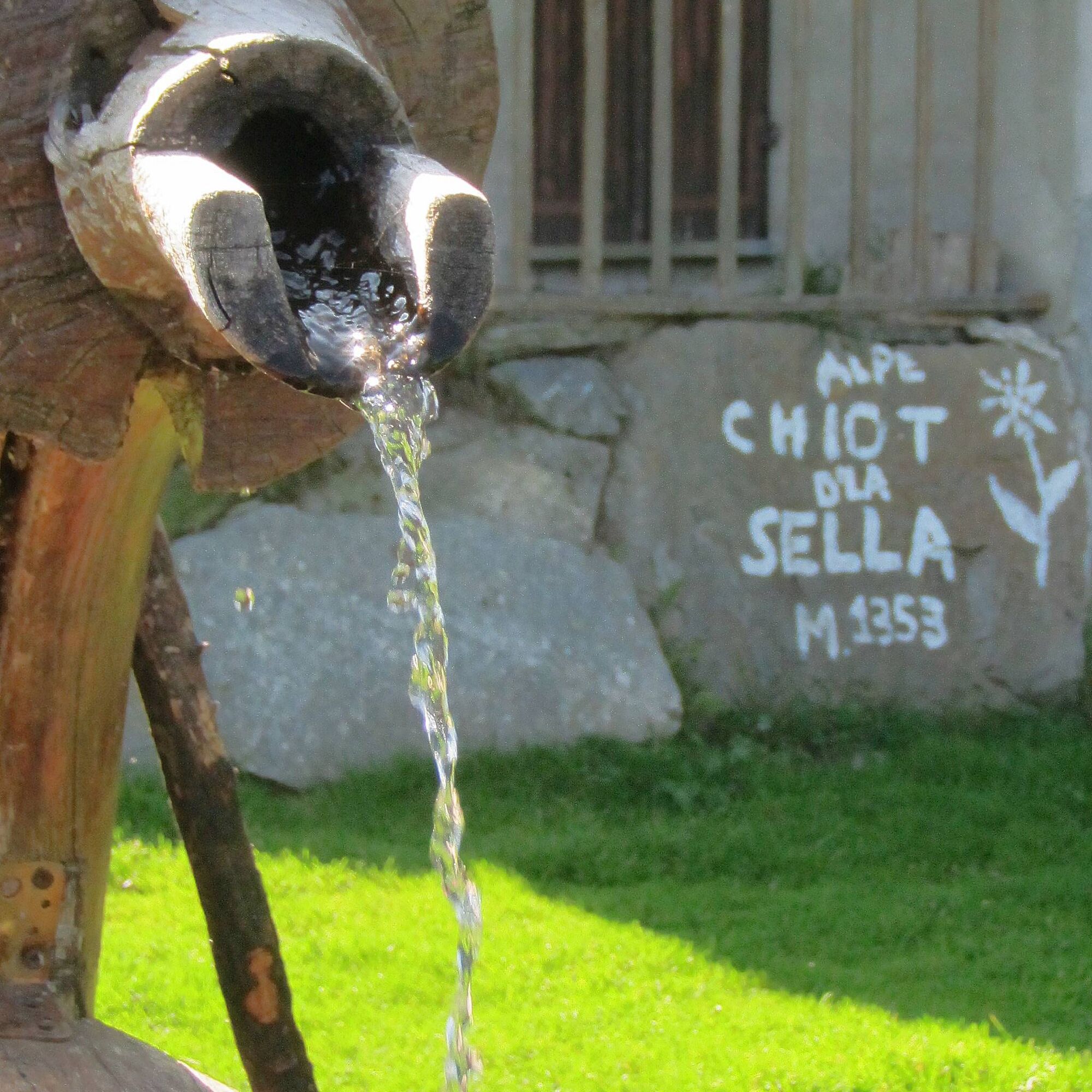
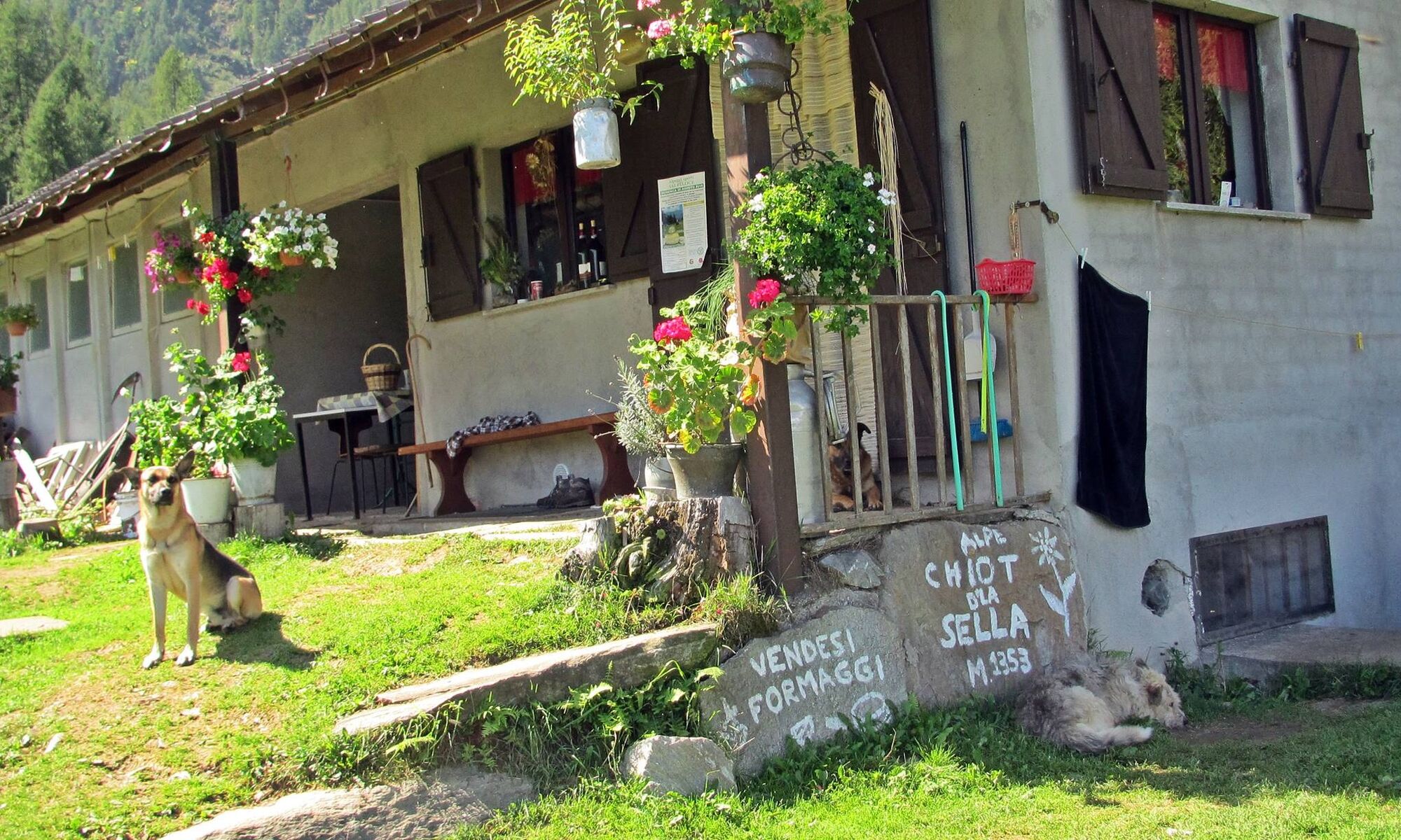
The Lioussa Valley - Chiot la Sella
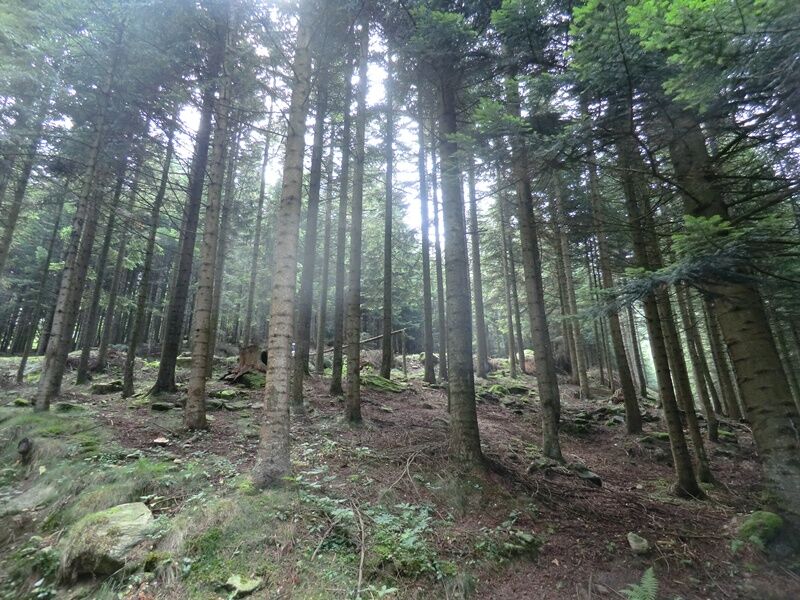
Chiot la Sella is indeed located in the upper valley of the Lioussa, in the heart of the very green north-facing slope of Mount Frioland, on a grassy plateau surrounded by dense larch and beech woods,...
Chiot la Sella is indeed located in the upper valley of the Lioussa, in the heart of the very green north-facing slope of Mount Frioland, on a grassy plateau surrounded by dense larch and beech woods, rich in waters and springs.
The entire route develops on a dirt road and therefore presents no difficulty.
The path is marked by white/red trail markers and arrows with a fox logo.

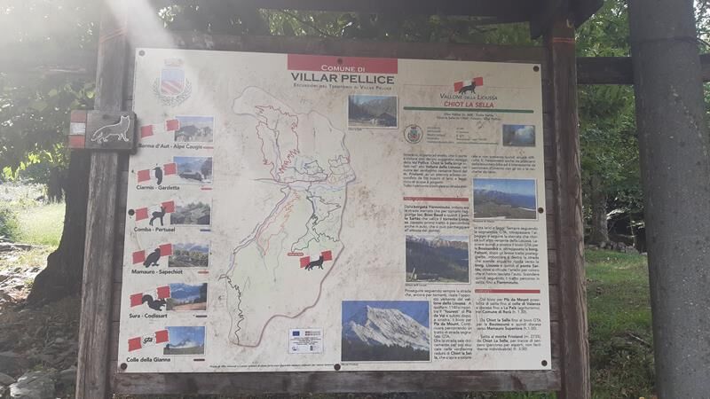

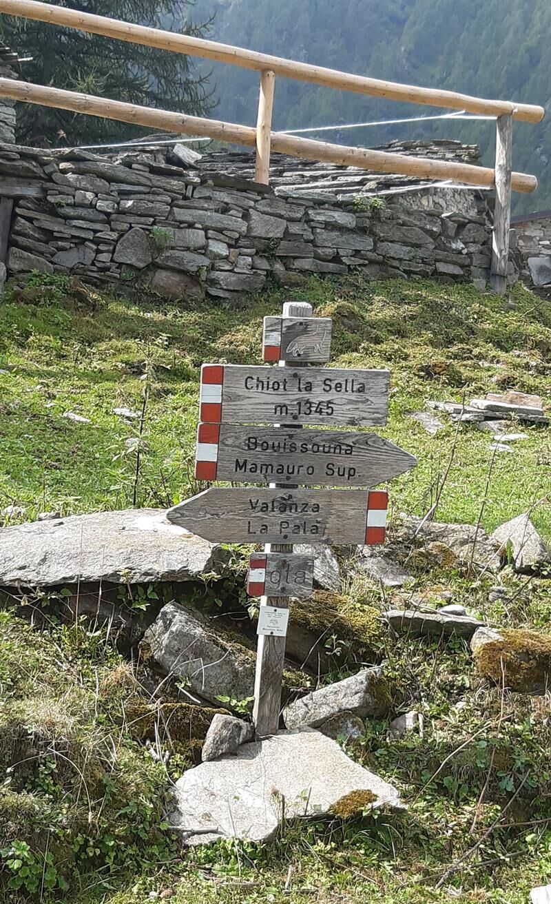
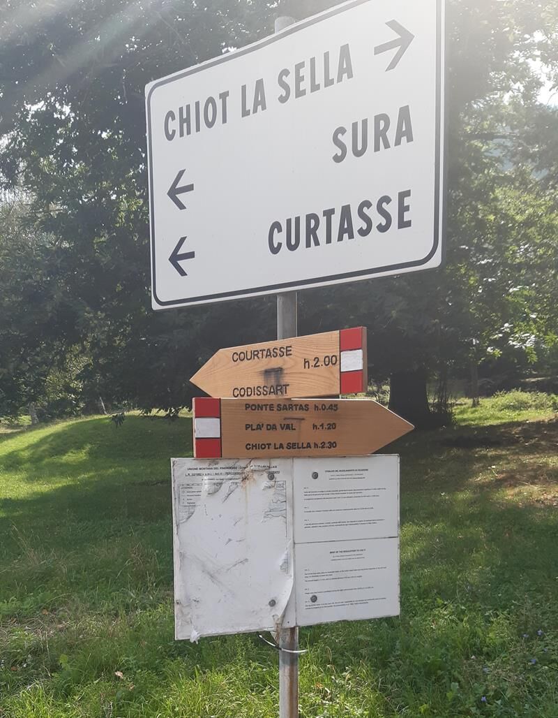
From the hamlet of Fiemminuto, take the dirt road that, through hairpin bends, reaches the locality of Bosc Baud and then the Sartàs bridge that crosses the Lioussa stream (this first stretch is also passable by car). Continue following the road that climbs the opposite side of the Lioussa valley. At an altitude of 1140 m, you will encounter the "fourest" of Plà da Val and immediately after, on the left, the junction for Plà da Mount. Now the road gently ascends to then emerge into the very green clearing of Chiot la Sella, which opens surprisingly among larches and beeches. Always following the signs, go beyond the alpine pasture and follow the dirt road that returns on the other side of the Lioussa. Then leave on the left the junction for Bouissounà and, after passing the hamlet of Falconi, take the steep road down towards the hamlet of Lioussa and then to the Sartàs bridge. Then descend following the stretch traveled uphill, back to Fiemminuto.
Da
Appropriate clothing and equipment are recommended.
Getting to Villar Pellice is easy by following the A55 towards Pinerolo, if coming from Turin. Near Pinerolo, follow the signs for Val Pellice and then for Villar Pellice.
By bus
www.cavourese.it
There are some parking spaces near the hamlet of Fienminuto
Before undertaking any hike, it is advisable to consult weather bulletins or ask for information at local Tourism Offices.
It is good practice not to undertake a hike alone, always notify someone of your destination.
Do not throw waste in the environment but carry it with you, possibly collecting waste left by others.
The indicated travel times are approximate and may vary depending on weather conditions and individual abilities.
It is also interesting in winter to travel with skis or snowshoes.
Priljubljeni izleti v okolici
Gran Tour del Monviso
srednjaPohodništvo 57.1 km- 5.0
BOBBIO PELLICE Upslowtour - Ring 2 of the refuges
težkoKolesarjenje 37.6 km - 5.0
Rifugio Quintino sella - monte Monviso
srednjaPlezanje 9.13 km - 5.0
Invincibles valley - Alpe Caugis
Pohodništvo 15.3 km BRICHERASIO The Via della Pietra
svetlobaKolesarjenje na dolge razdalje 11.5 kmBOBBIO PELICE Trekking in the hamlets and forests around Bobbio
srednjaPohodništvo 7.72 km- 5.0
BOBBIO PELLICE Climb to the Barbara Lowrie Refuge
težkoCestno kolo 9.19 km TORRE PELLICE Naturalistic trail "The Jay"
svetlobaPohodništvo 10.2 kmPRAROSTINO From Piani to Sonagliette and back - SLOWLY TOGETHER
svetlobaPohodništvo 6.60 kmTORRE PELLICE The Shepherds' Way
svetlobaMountainbike 11.0 km

Pohodništvo in sledenje


Ne zamudite ponudb in navdiha za naslednje počitnice
Vaš e-poštni naslov je bil dodan na poštni seznam.