


Historic Mountain Routes | Desertes road
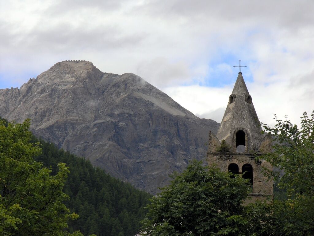
It is a former military road whose construction works ended around 1904. Already at the end of the 19th century the Army began some fortification works on the borders of this side, which were then further...
It is a former military road whose construction works ended around 1904. Already at the end of the 19th century the Army began some fortification works on the borders of this side, which were then further reinforced with the works of the Vallo Alpino (some only designed, such as a driveway from the Pourrachet Hotel in Oulx to Croce SanGiuseppe and then towards the Fenils valley to join the Chaberton road) such as the Rocchette refuge and the G.a.F. bivouac. under the Desertes pass.

The dirt road starts from the SS.24 of Monginevro downhill, crosses the stone bridge over the Dora and then climbs up with a dozen daring hairpin bends and a development of about 5 km up to the ancient capital, also crossing the hamlet of Balbières.
From Turin or Frejus: exit Oulx Circonvallazione from the A32 Torino-Bardonecchia, then continue towards Sestriere-Monginevro on the SS24 until Cesana Torinese
From France Montgenèvre Pass SS24
From Pinerolo Col del Sestriere SS24 and SP23
Spletne kamere s turneje
Priljubljeni izleti v okolici
-
4.5
BARDONECCHIA Pian del Colle - Valle Stretta
srednjaSnežni čevlji 5.02 km -
5.0
BARDONECCHIA Colle Sommeiller
srednjaMountainbike 25.4 km -
5.0
BARDONECCHIA Forte Jafferau Loop
težkoMountainbike 36.8 km -
4.5
BARDONECCHIA Walter Bonatti Path - Grange della Rho
srednjaPohodništvo 6.06 km -
5.0
BARDONECCHIA Decauville
srednjaPohodništvo 7.29 km -
5.0
BARDONECCHIA Col des Acles - Passo della Mulattiera
srednjaPohodništvo 6.23 km -
BARDONECCHIA Lago Verde
svetlobaMountainbike 10.7 km -
BARDONECCHIA - Loop Colle della Scala - Col de Montgenèvre - Colle del Sestriere
težkoCestno kolo 91.9 km -
5.0
SESTRIERE Monte Rognosa
težkoPohodništvo 6.42 km -
BARDONECCHIA Monte Jafferau
težkoPohodništvo 11.6 km
Pohodništvo in sledenje


Ne zamudite ponudb in navdiha za naslednje počitnice
Vaš e-poštni naslov je bil dodan na poštni seznam.