







GTA: Stage 58 Santuario di San Magno - Sambuco

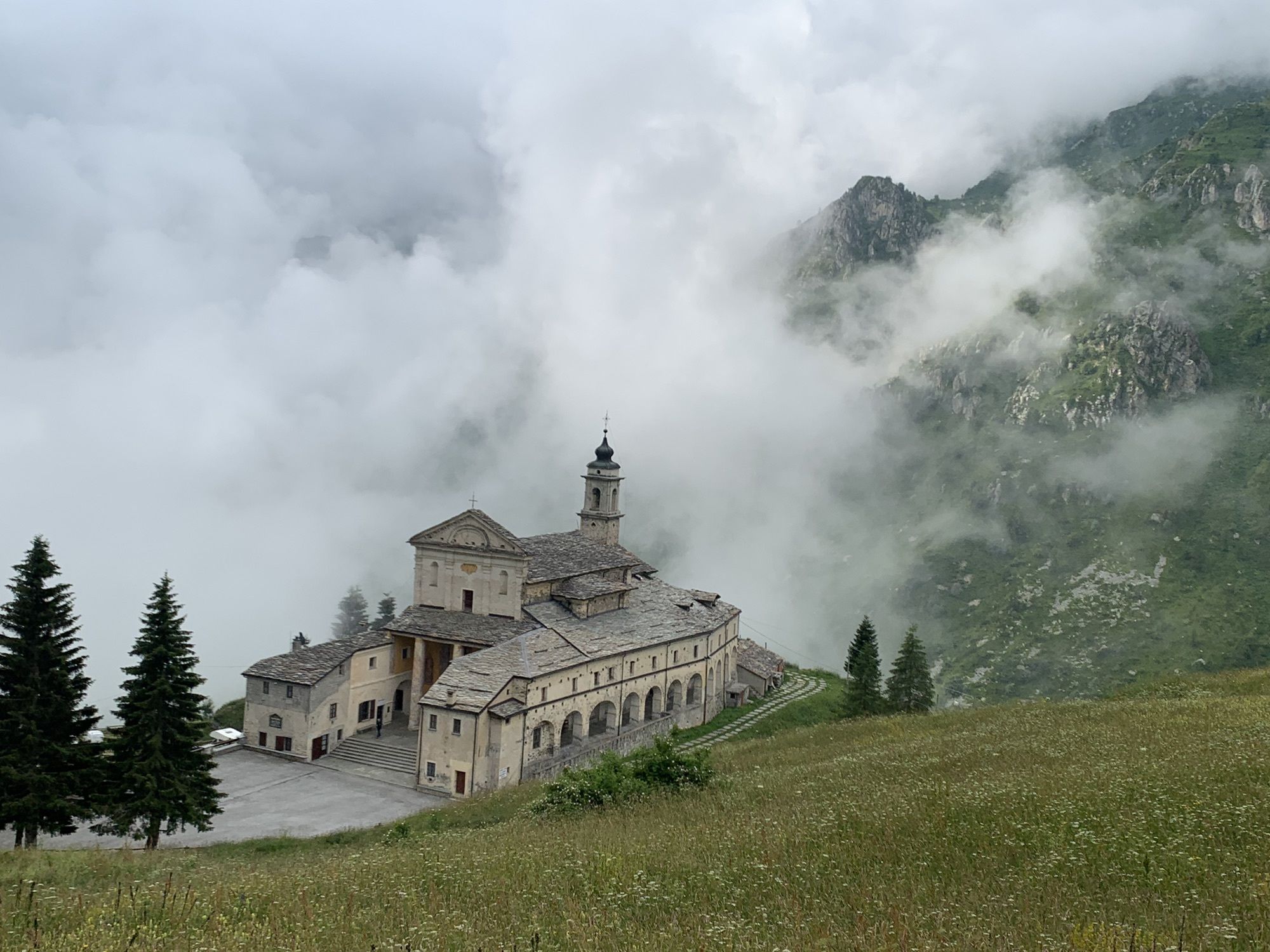
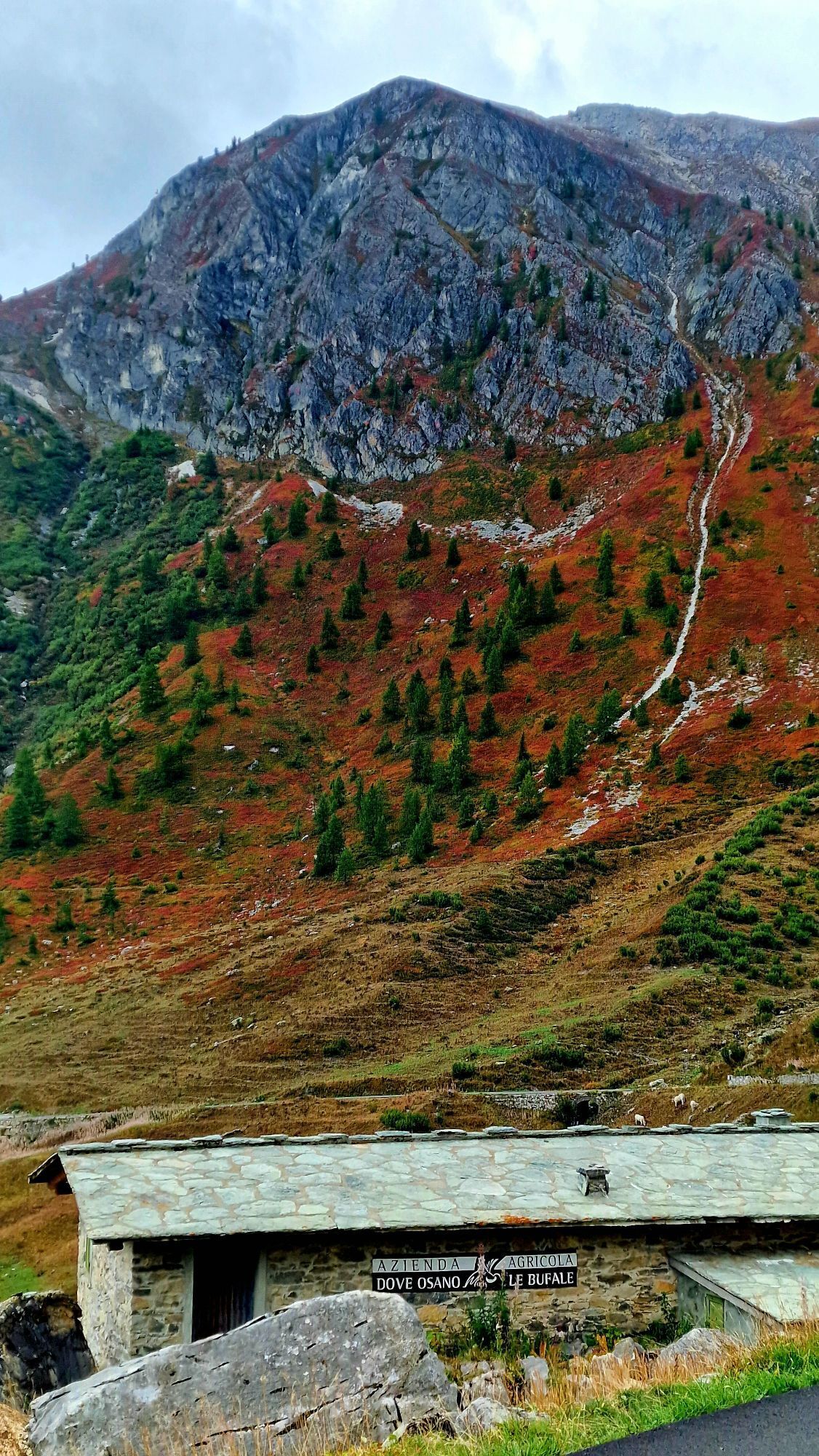
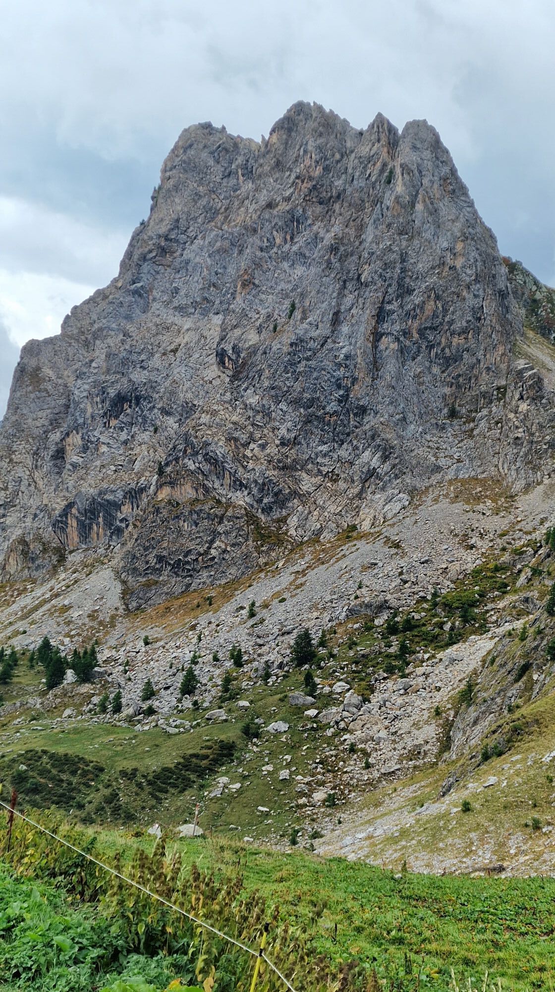
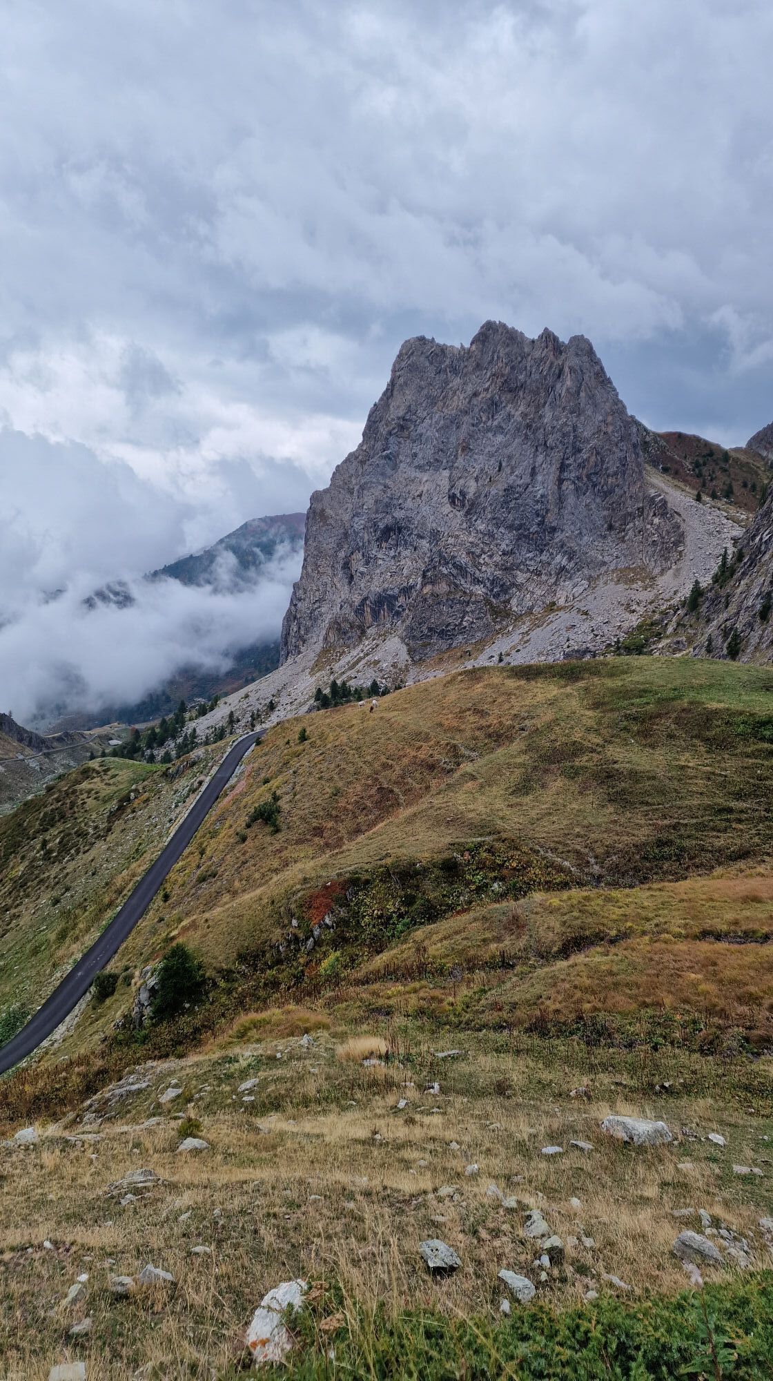
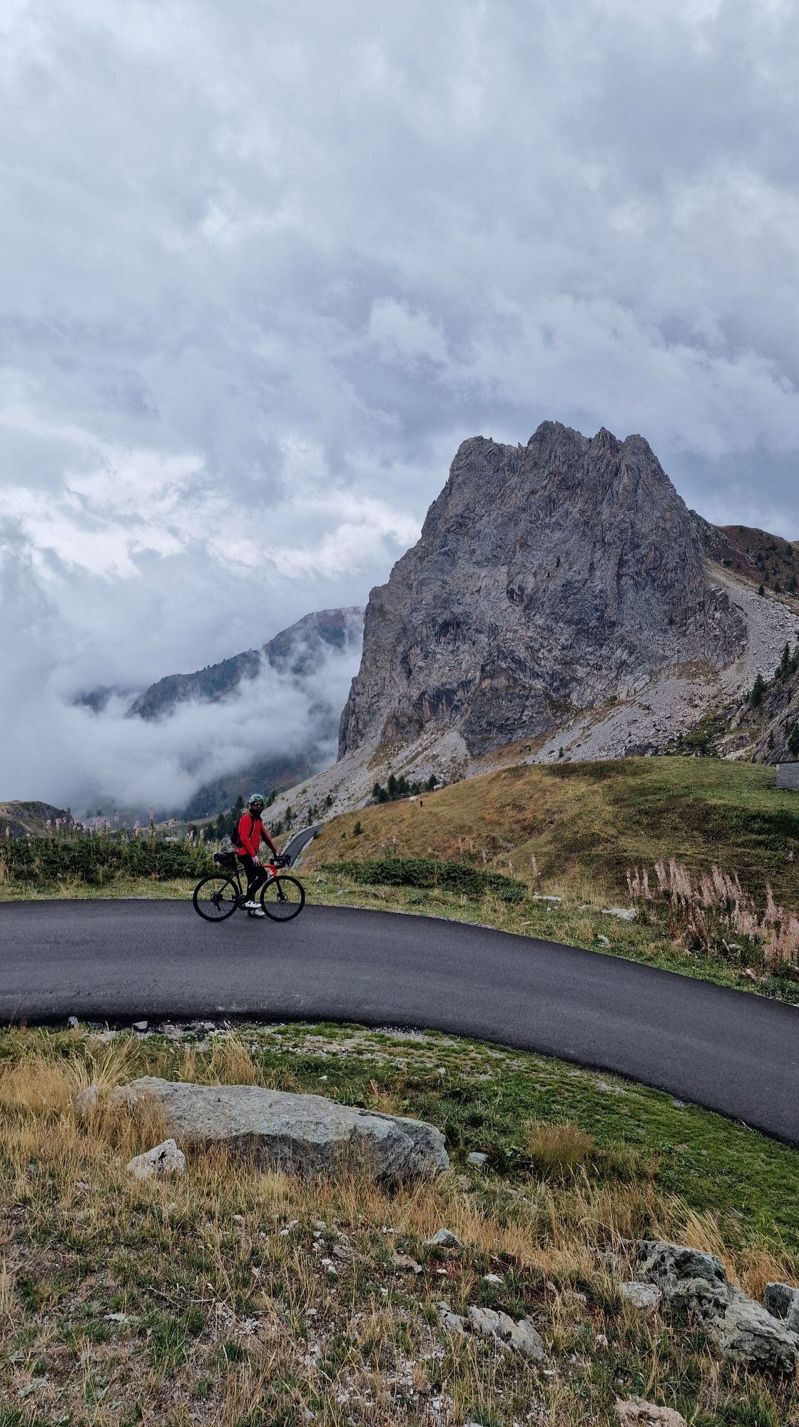
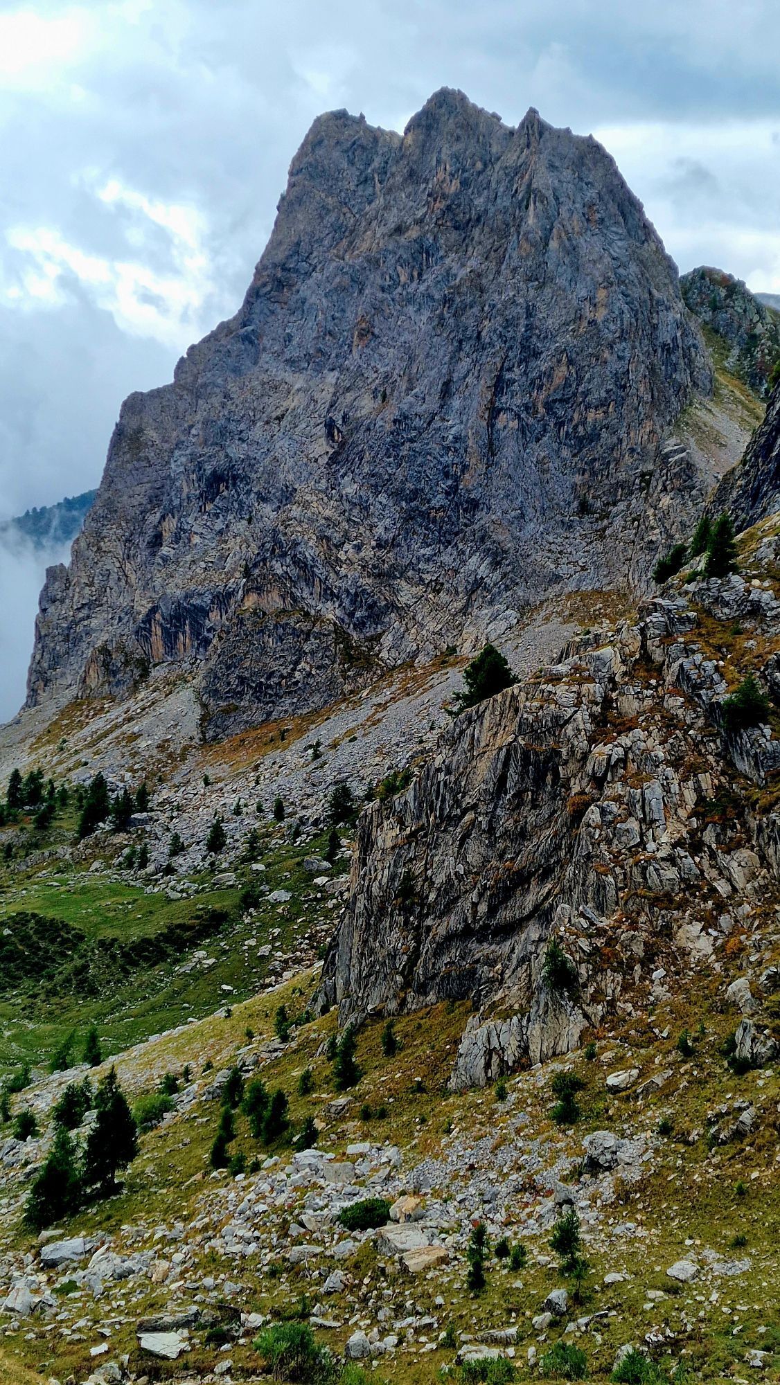
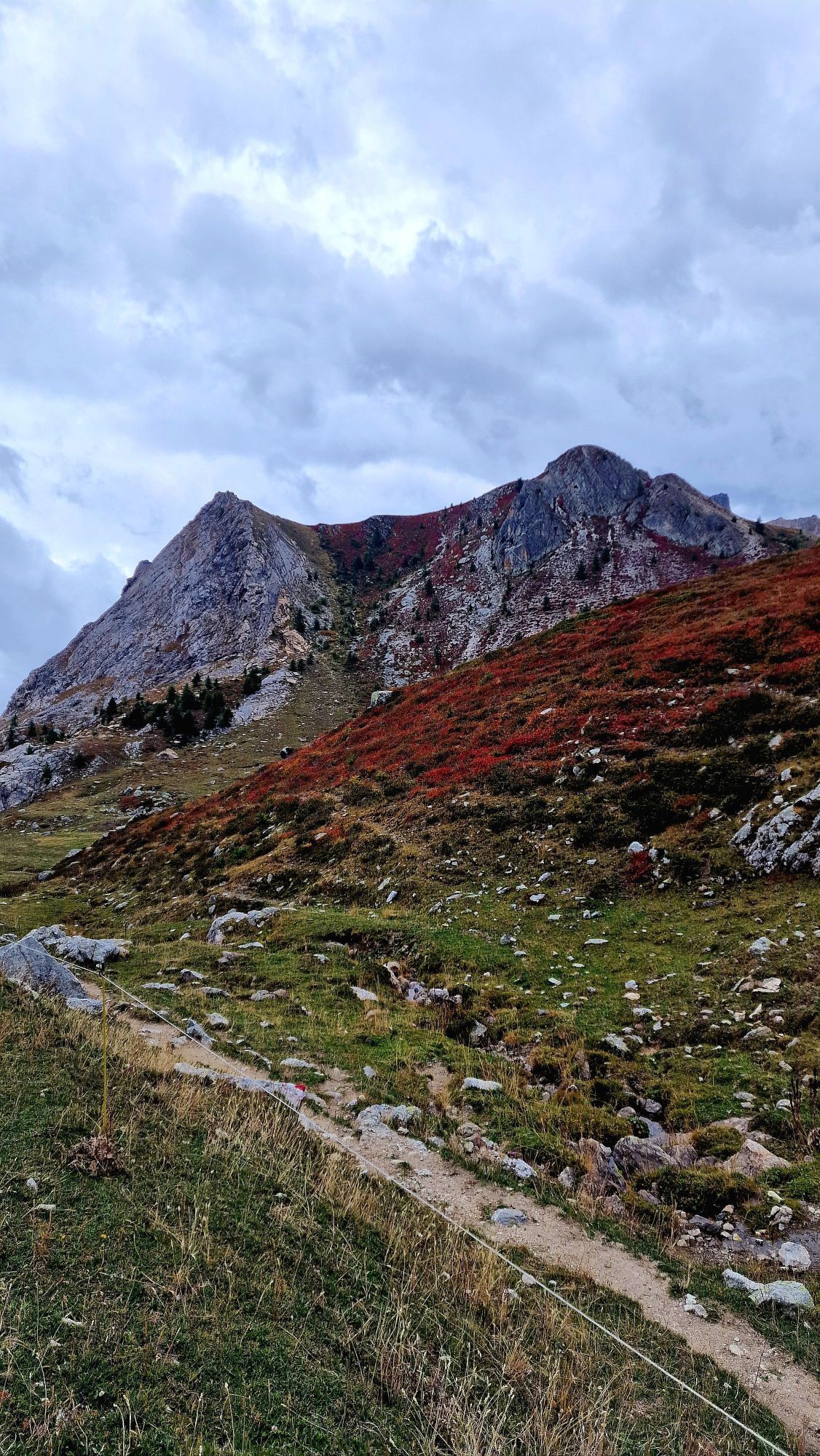

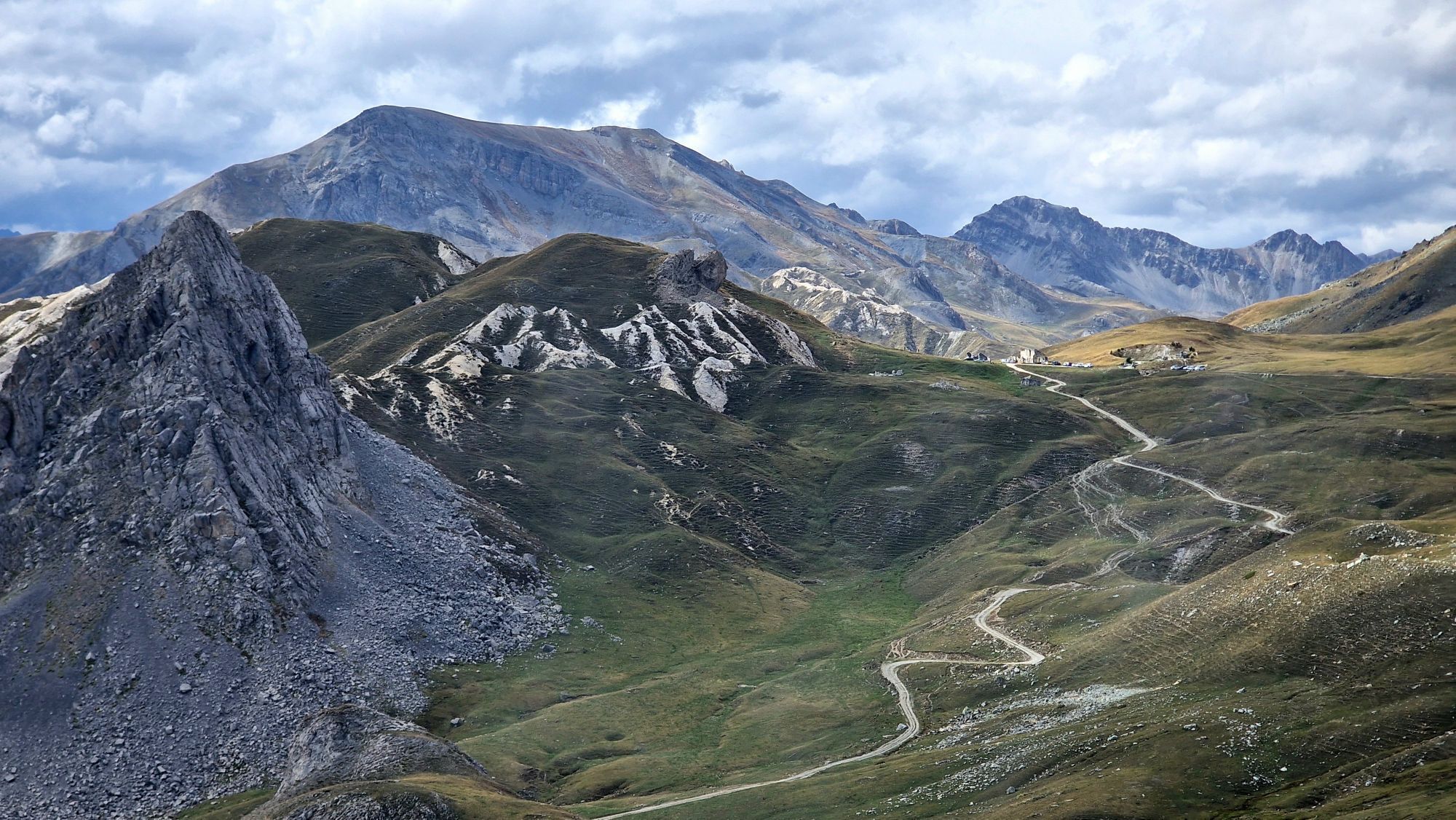
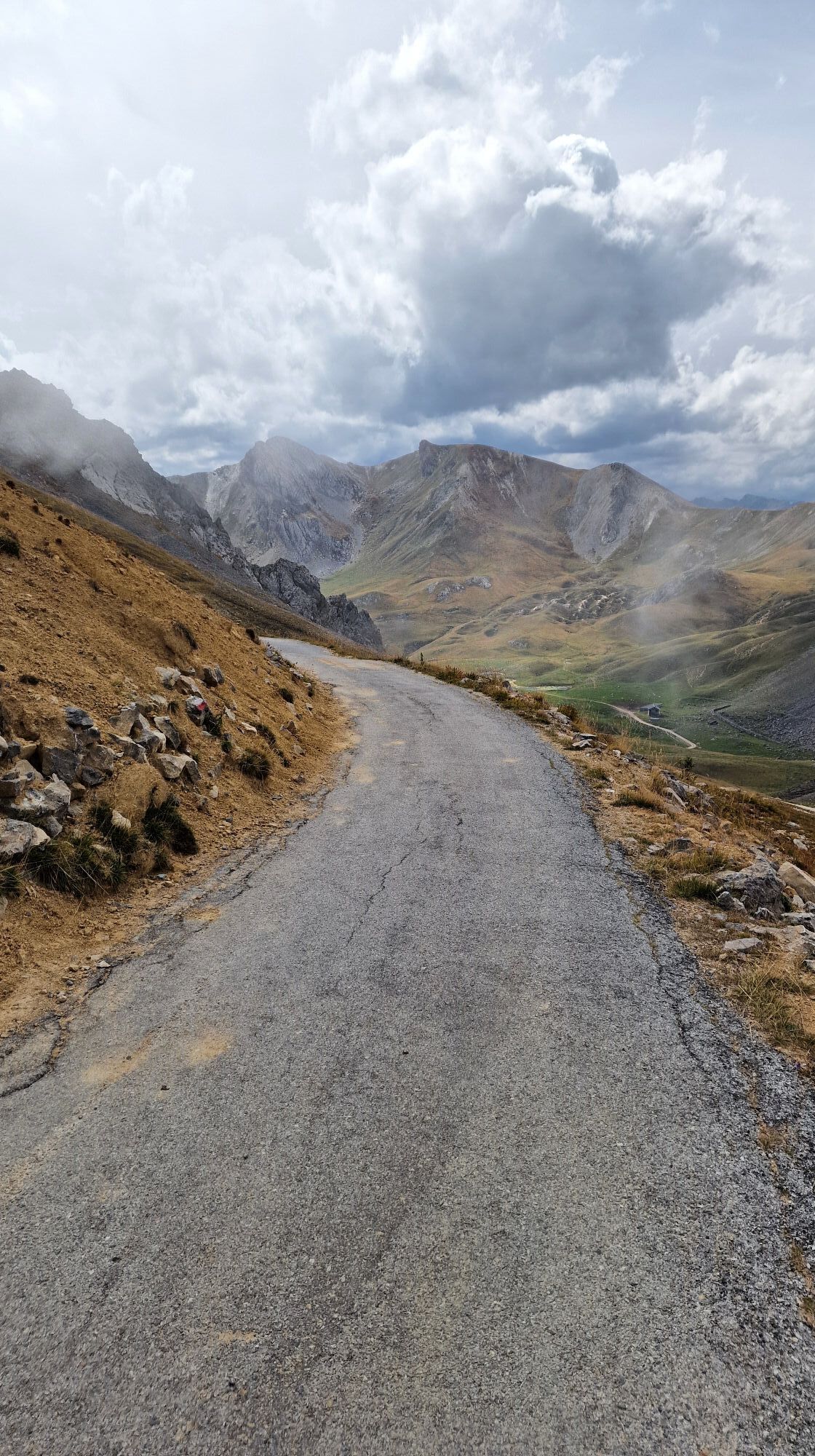
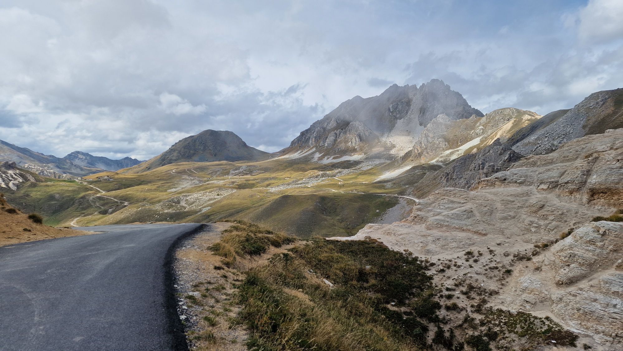
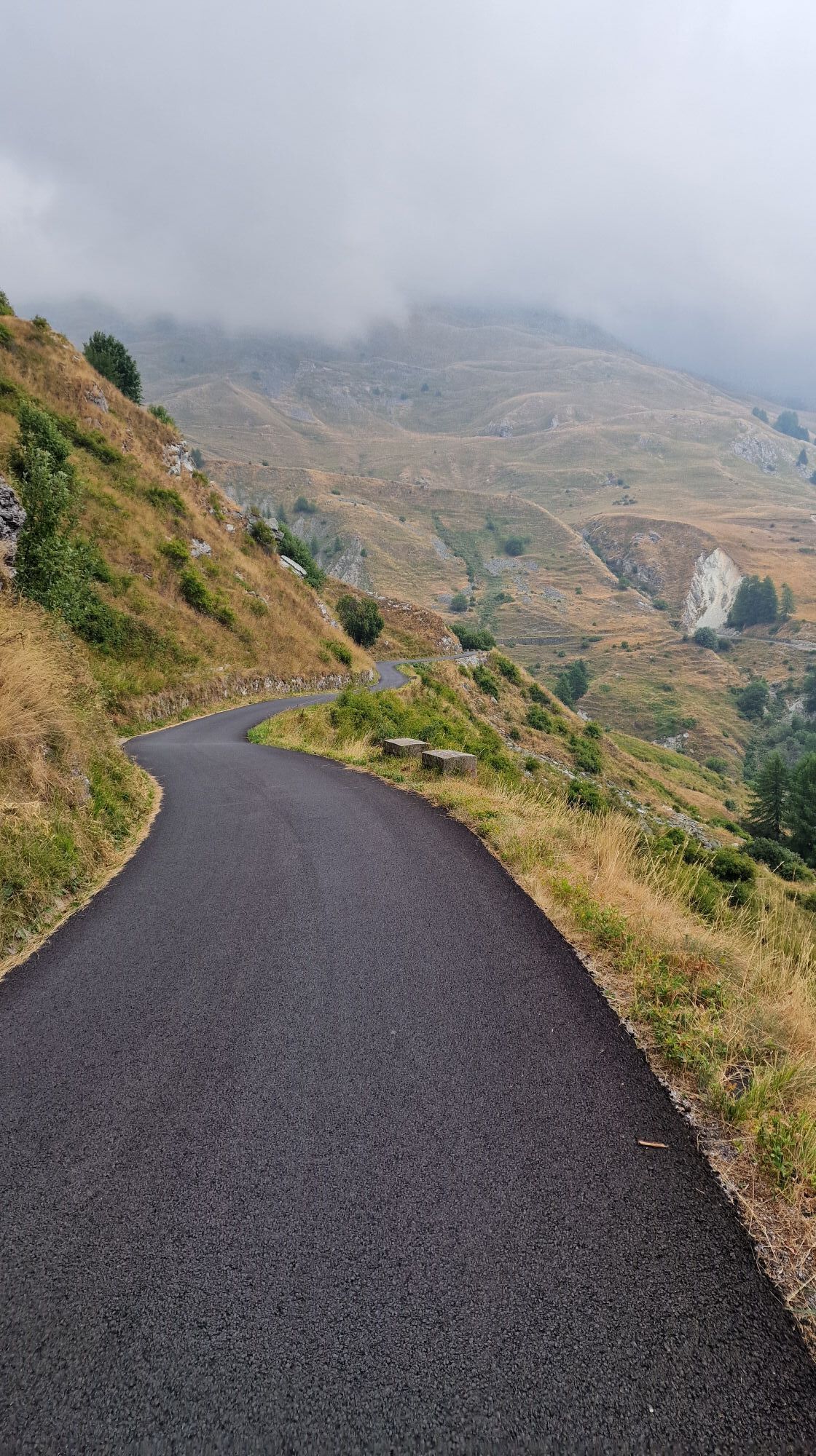
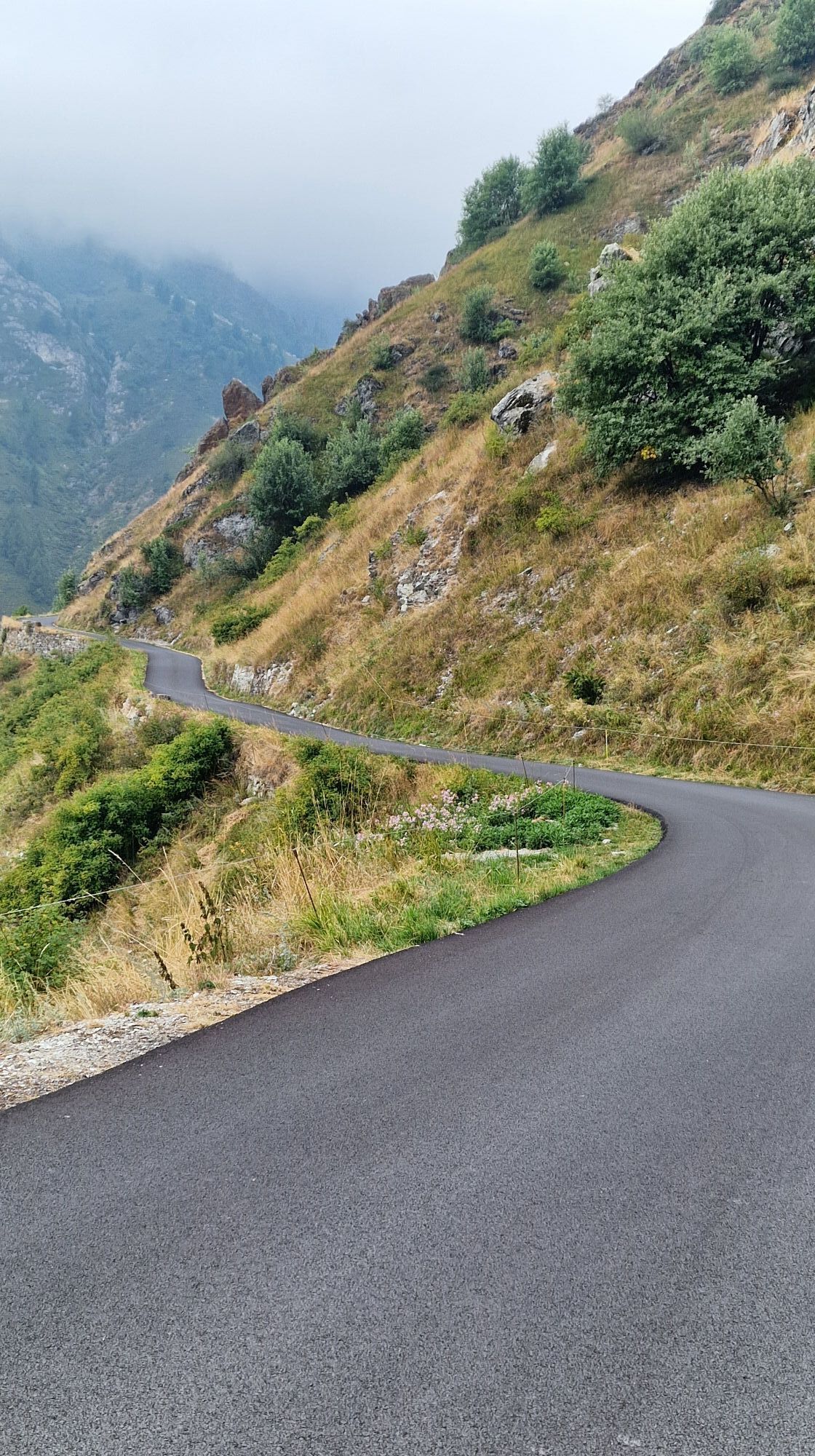
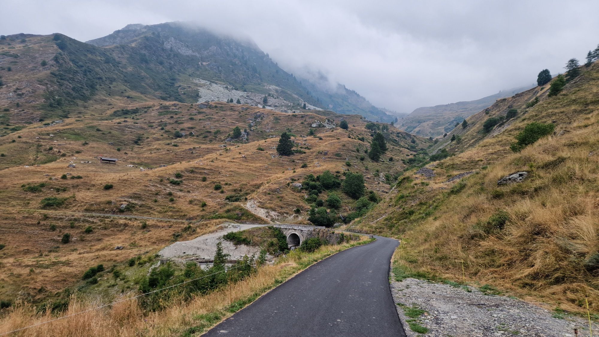
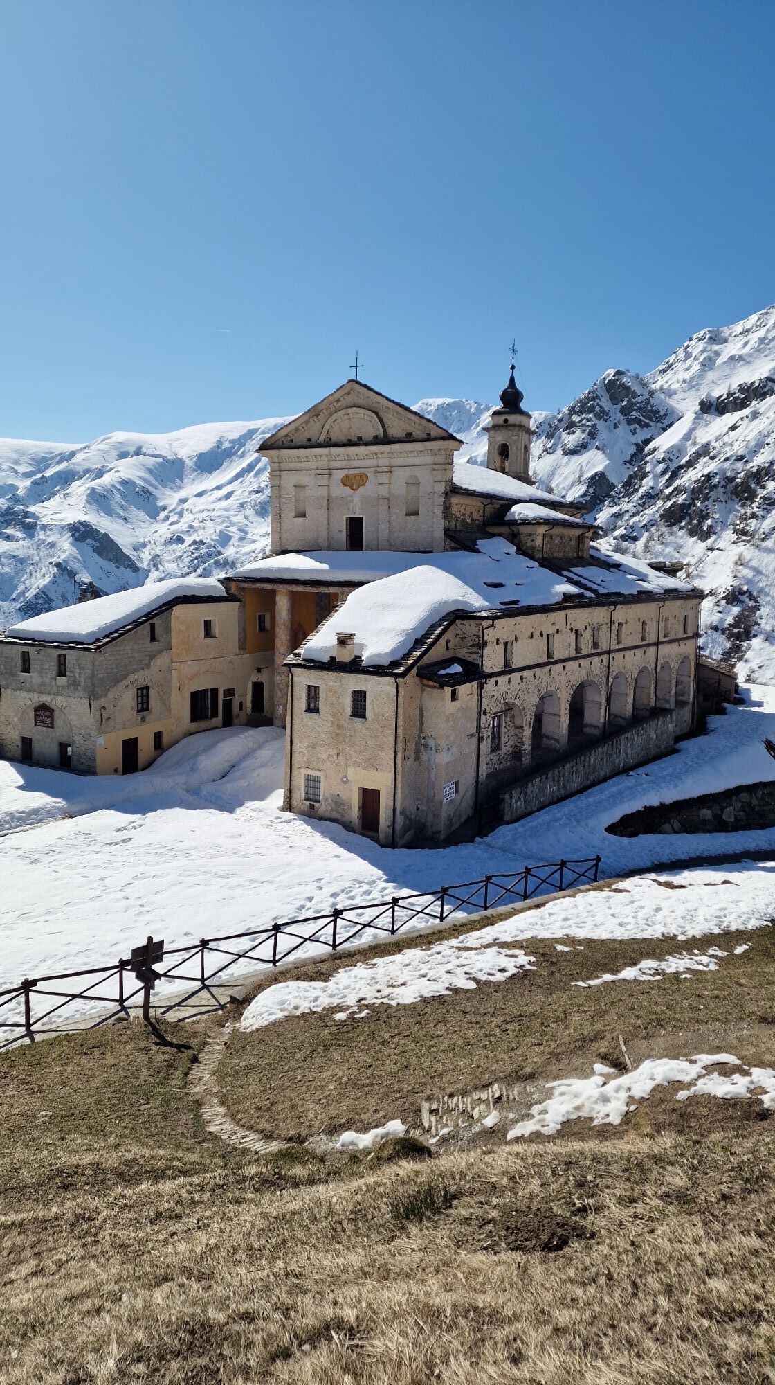
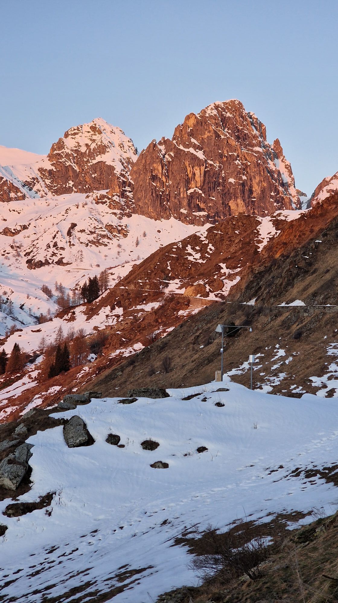
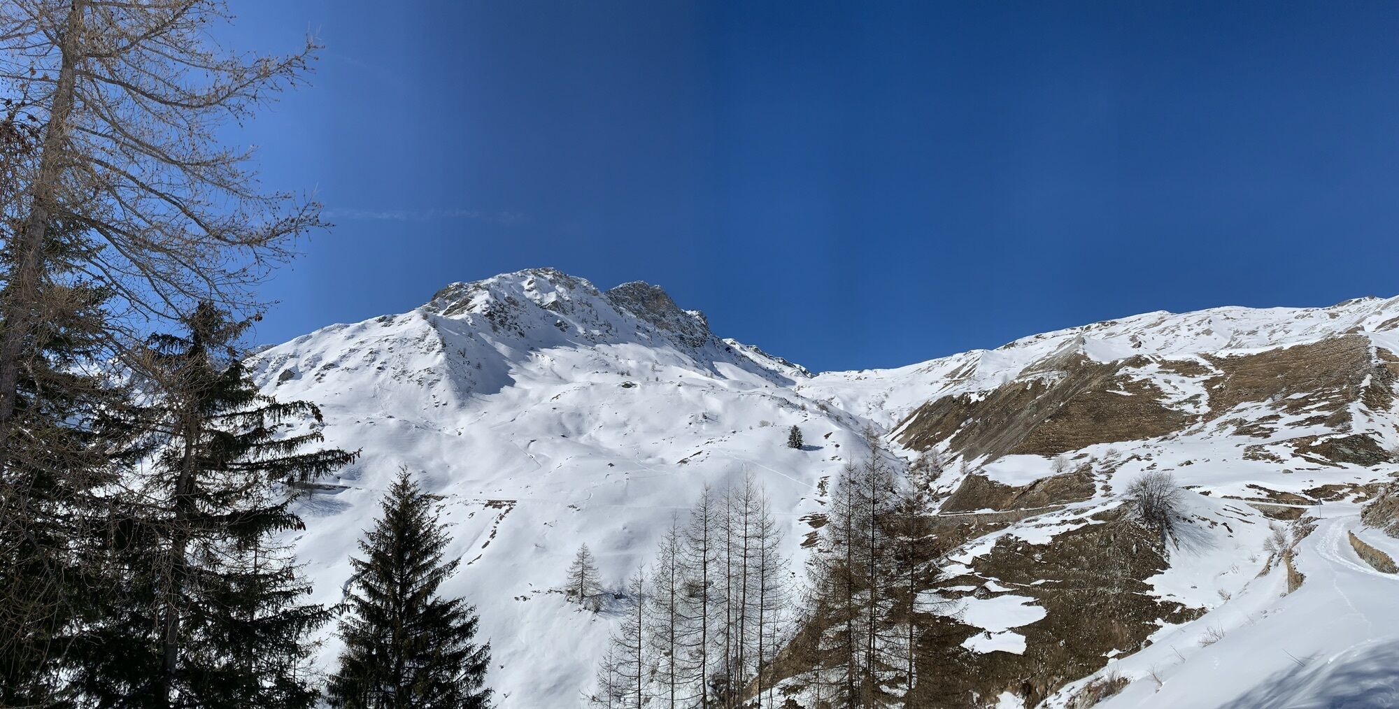
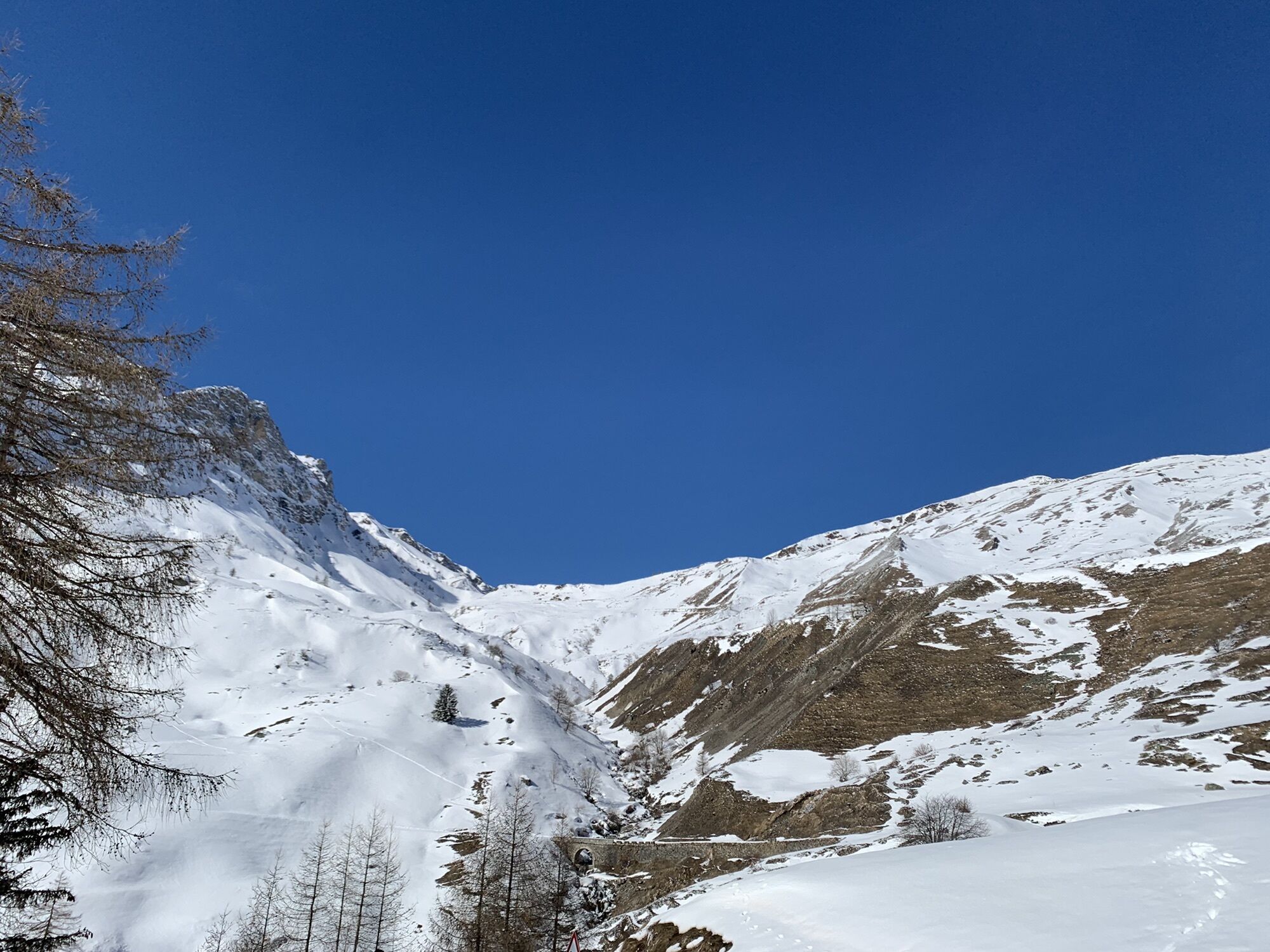

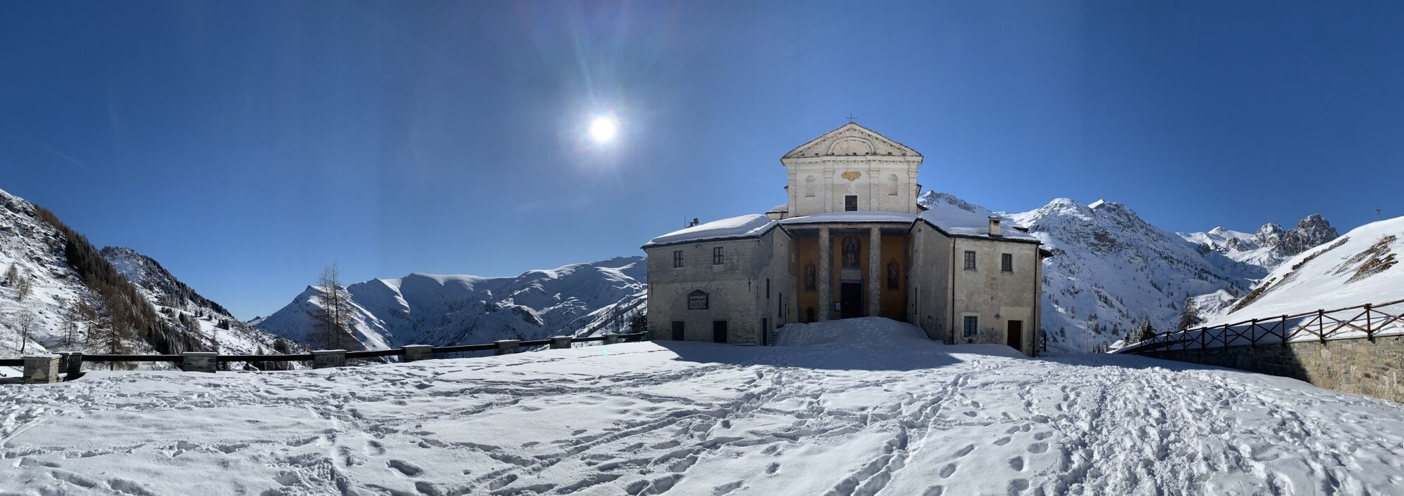
Take the road from the Sanctuary towards Colle di Esischie, following the route R54. Before a bridge over the Grana stream at an altitude of 2015 m, turn left and follow a stretch of path on the right...
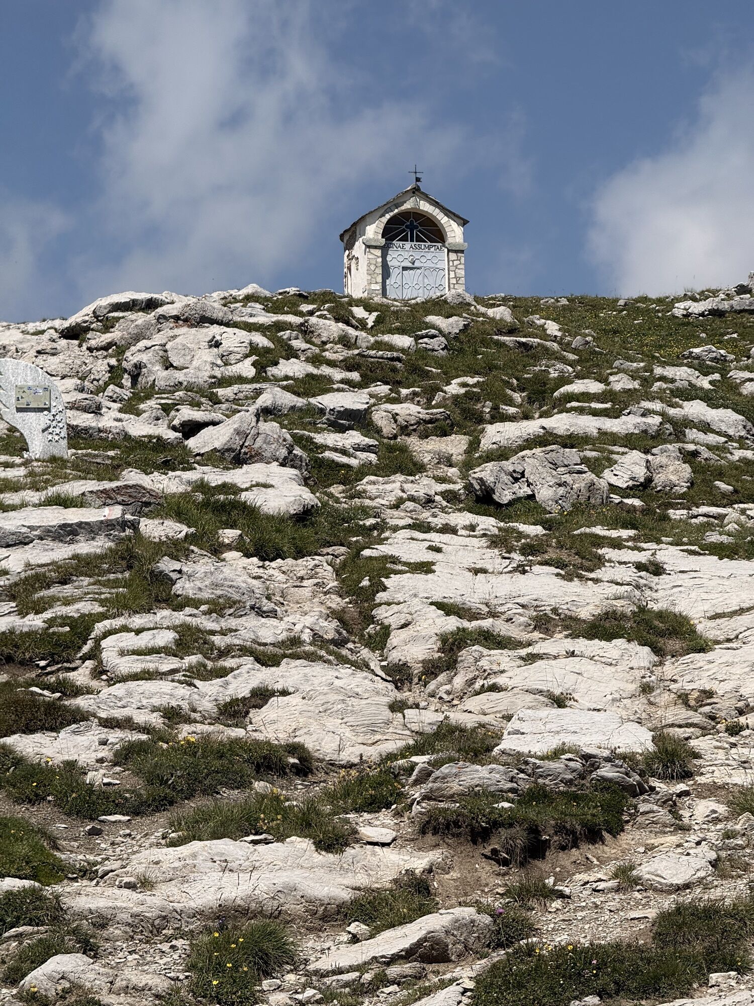
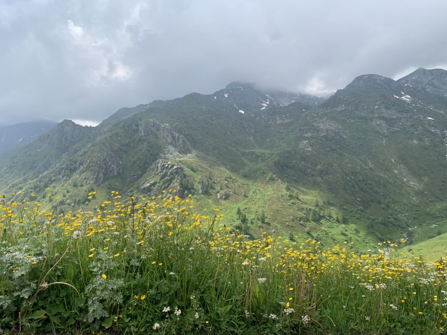
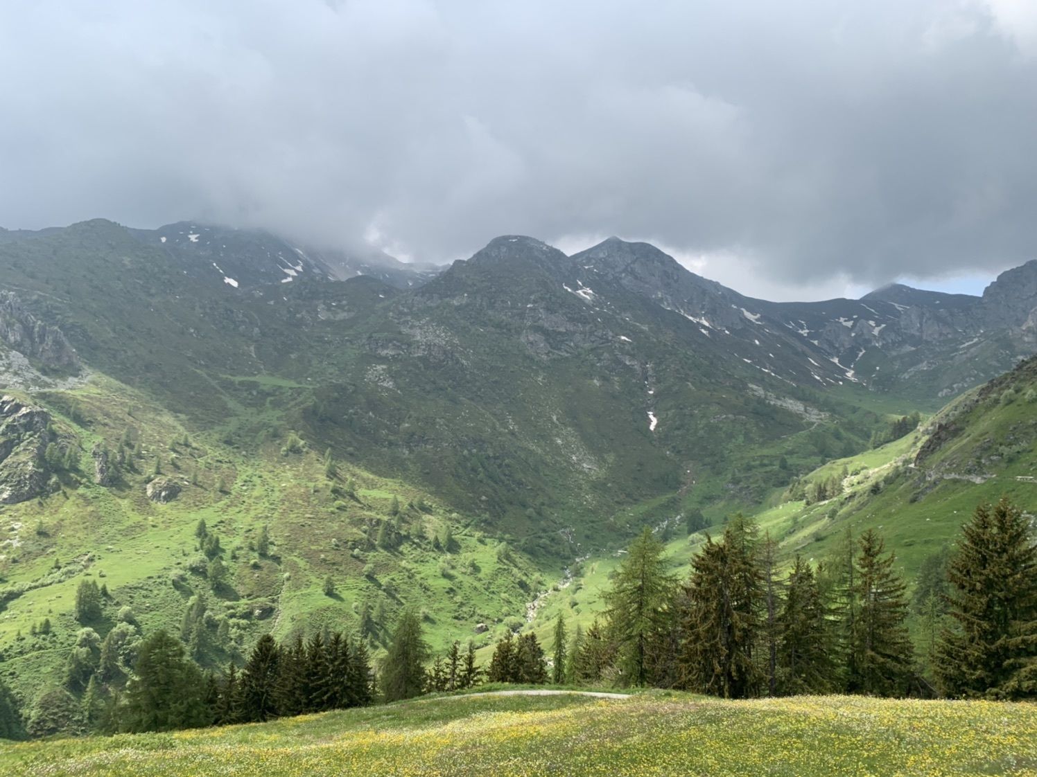
Take the road from the Sanctuary towards Colle di Esischie, following the route R54. Before a bridge over the Grana stream at an altitude of 2015 m, turn left and follow a stretch of path on the right bank until you come back to the road at the huts of Gias Fauniera at 2180 metres. You then continue along the road arriving near the recently renovated Rifugio Fauniera (formerly Trofarello) at 2305 m. Here you leave the former military road that continues to the overlooking Colle D'Esischie taking path R55 on the left. Cut through the wide hairpin bend and return on the road to shortly reach Colle Fauniera or Colle dei Morti (2481 m), whose name is due to the many soldiers fallen in a bloody battle of the Austrian succession war, when in 1744, the French-Spanish crossed the neighbouring Colle Valcavera heading to besiege the city of Cuneo. In fact, from here you can quickly reach the Valcavera Hill (2416 m), from which the road continues going down in the homonymous valley towards Demonte. Instead, take path P34 that begins to descend on wide grassy ledges, crossing a section of the track below Gias Chiaffrea (2270 m). Cut through a hairpin bend on the path and then return to the track going down into the Chiaffrea valley as far as Grange Bastiera where the Don Martini Bivouac (2067 m) stands. You continue to descend on the left hydrographic bank of the brook, leave the deviation on the left to Monte Nebius and reach Gias Mure (1831 m).From here the path follows Vallone della Madonna which takes the shape of a gorge in this section. You go down the side of a beautiful waterfall with narrow hairpin bends on detritus covering the difference in level of the corresponding rock threshold. When you arrive at the base of the ridge, you go across the hillside on detritus material with some dug out brooks that are subject to avalanches, which often damage the path in winter causing quite difficult passages. The path continues to descend into the very dense and humid forest that colonises the slope overlooking the brook to a wooden footbridge that crosses it at an altitude of about 1230 metres. From here you follow a dirt track as far as the first houses of Sambuco.



Priljubljeni izleti v okolici
-
4.5
Acceglio, bric boscasso
srednjaSmučarska tura 12.1 km -
5.0
Rocca le Meja - Valle Maira
težkoVisokogorska tura 19.8 km -
Gardetta Bike Emotions
srednjaMountainbike 13.5 km -
San Giacomo-Colle Valcavera
srednjaCestno kolo 13.2 km -
5.0
Percorsi Occitani: Tappa 4 Frazione Camoglieres - San Martino Inferiore
srednjaPohodništvo 16.8 km -
5.0
Goldtoni - Alpenbogen A108 Strepeis-Sambuco
srednjaPohodništvo v daljavo 16.1 km -
5.0
Goldtoni - Alpenbogen A109 Sambuco-Ruata Valle (Stroppo)
srednjaPohodništvo v daljavo 36.8 km -
Occitan Routes: Stage 10 Borgata Chialvetta - Rifugio della Gardetta
srednjaPohodništvo 8.45 km -
Occitan Routes: Stage 9 Borgata Chiappera - Borgata Chialvetta
srednjaPohodništvo 15.2 km -
In the Grana Valley, in the footsteps of great cycling champions
srednjaCestno kolo 16.4 km
Pohodništvo in sledenje


Ne zamudite ponudb in navdiha za naslednje počitnice
Vaš e-poštni naslov je bil dodan na poštni seznam.





