







Occitan Routes: Stage 2 Frazione Sant'Anna di Roccabruna - Frazione Pagliero di San Damiano Macra
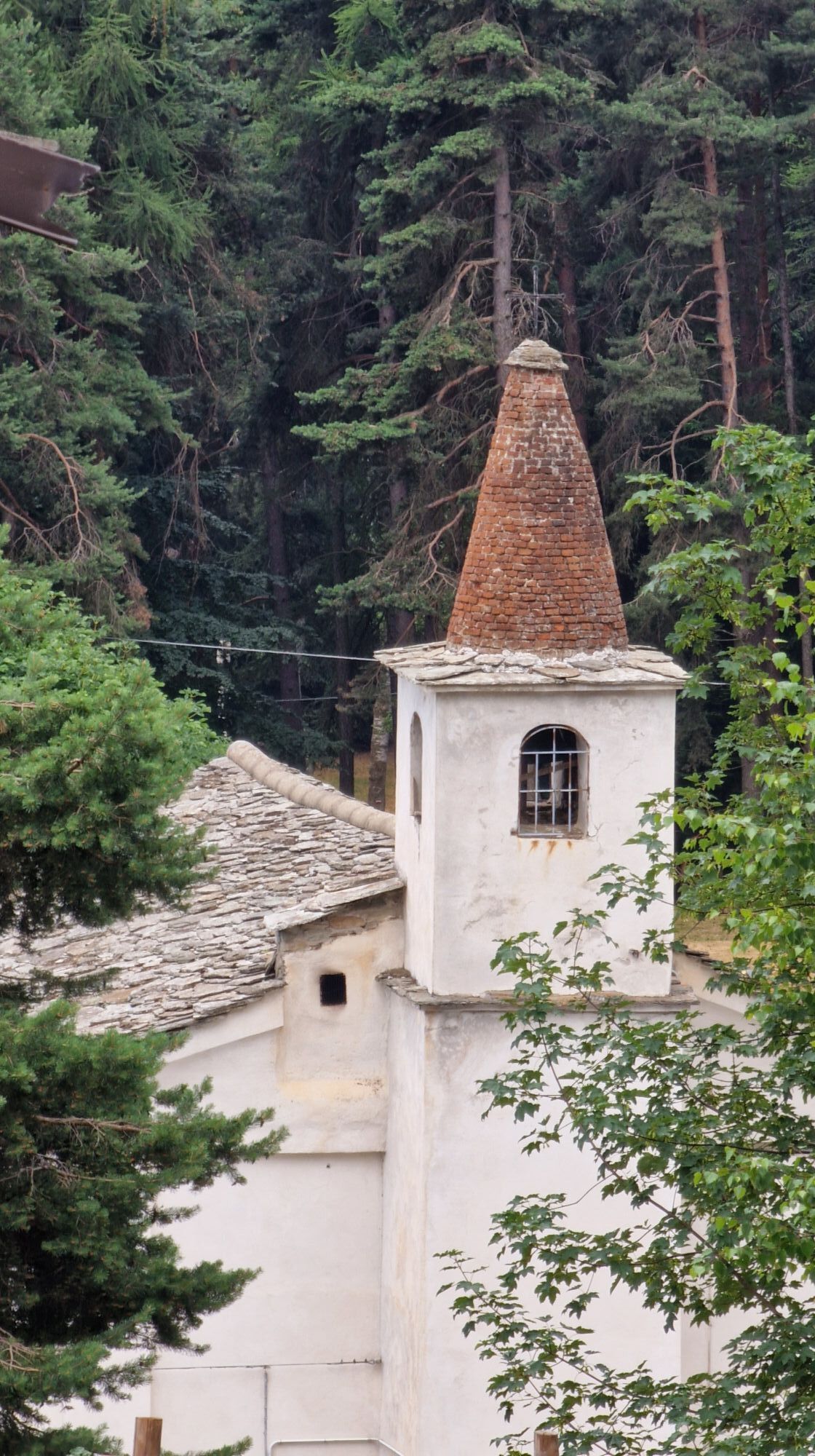
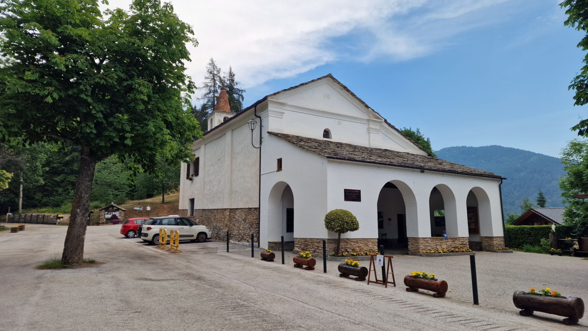
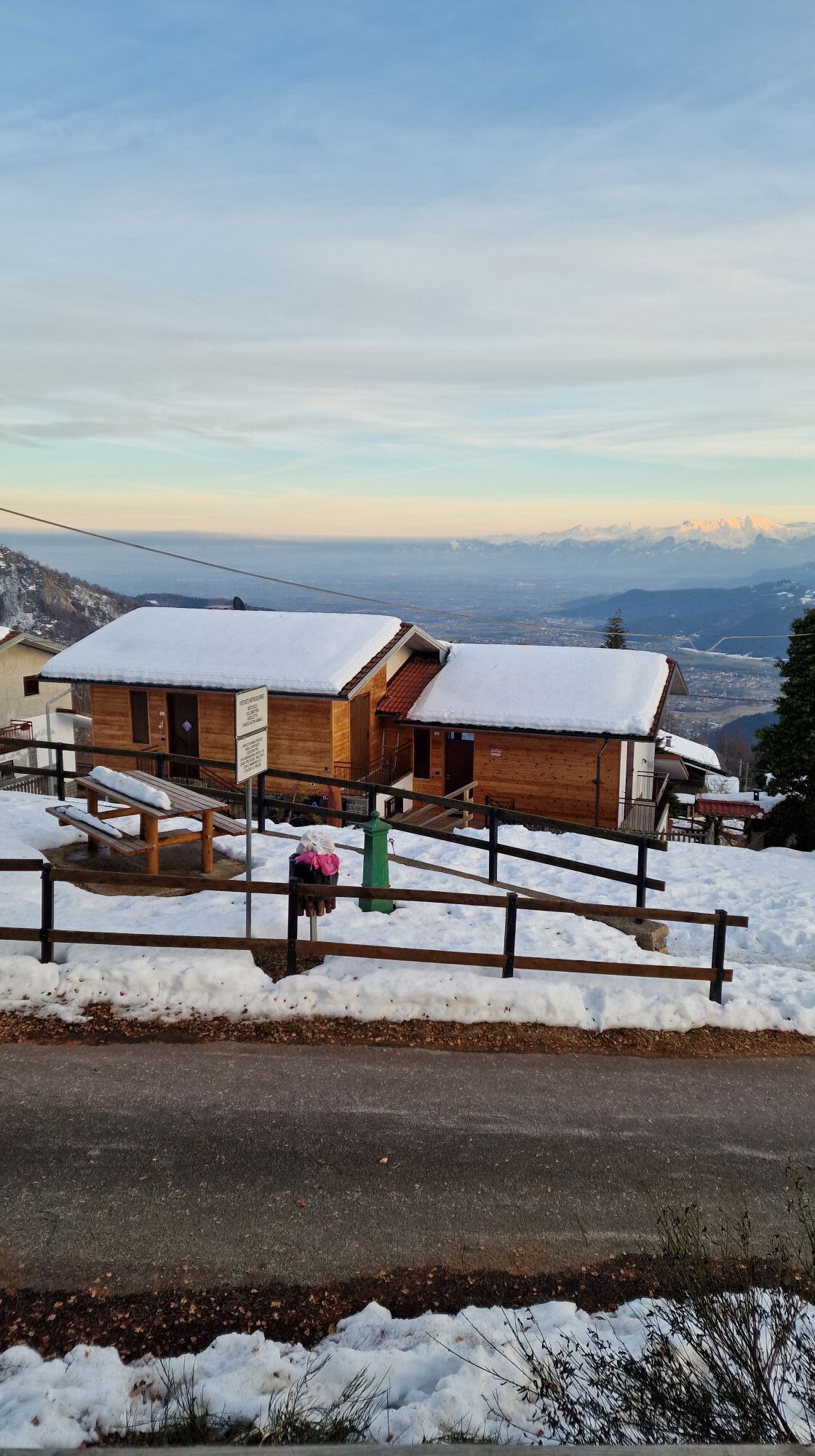
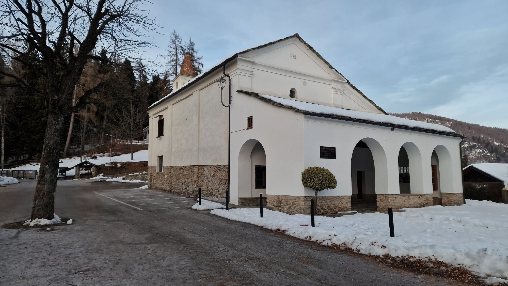
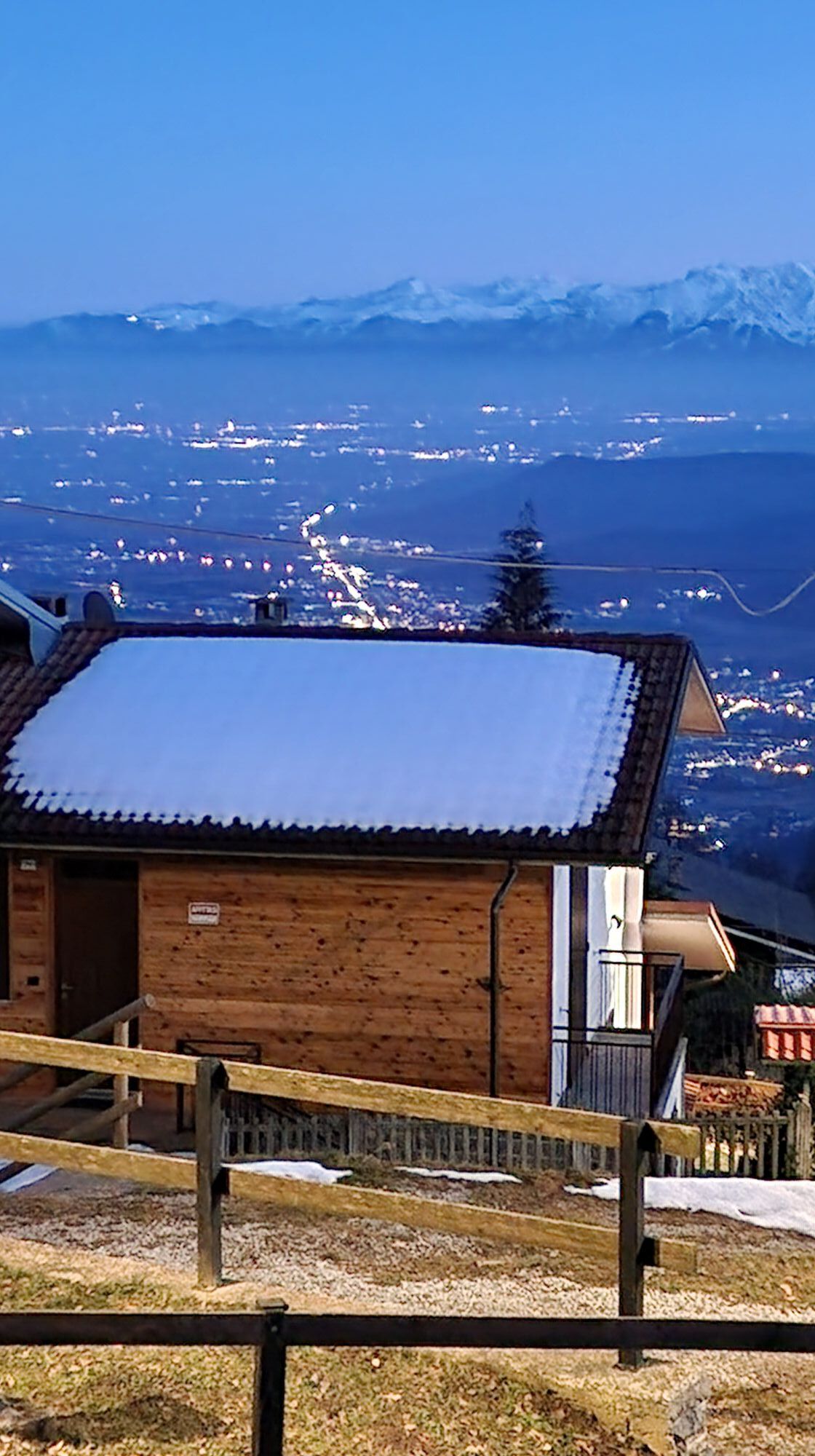
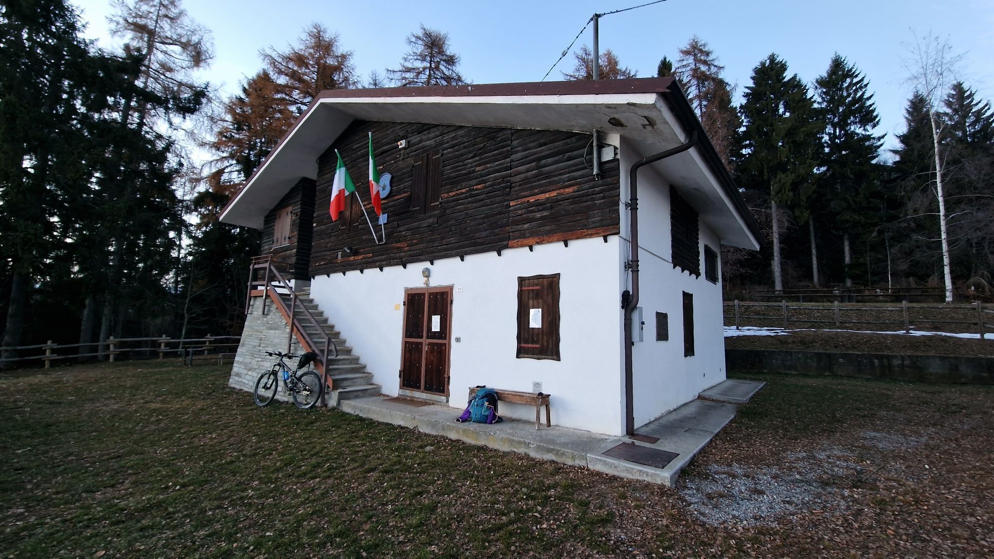
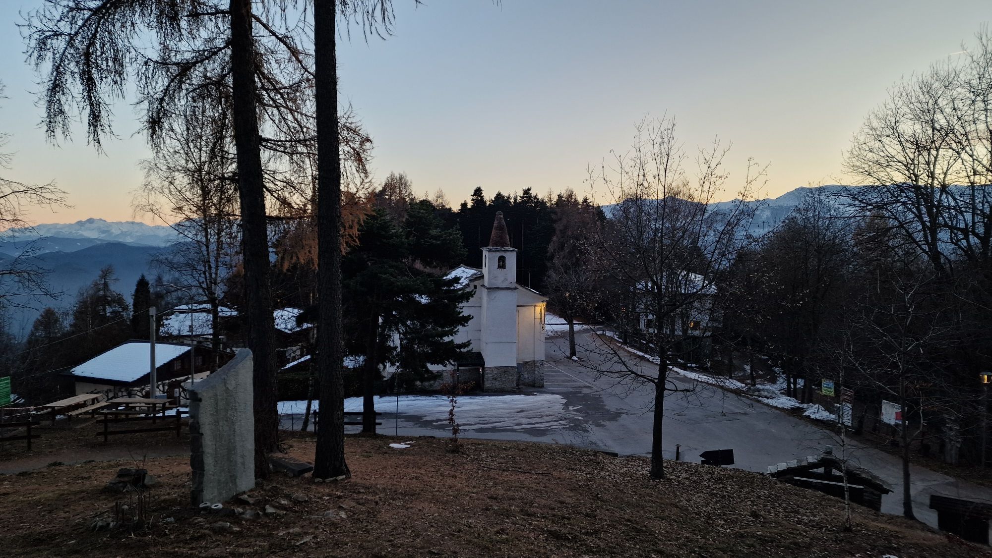
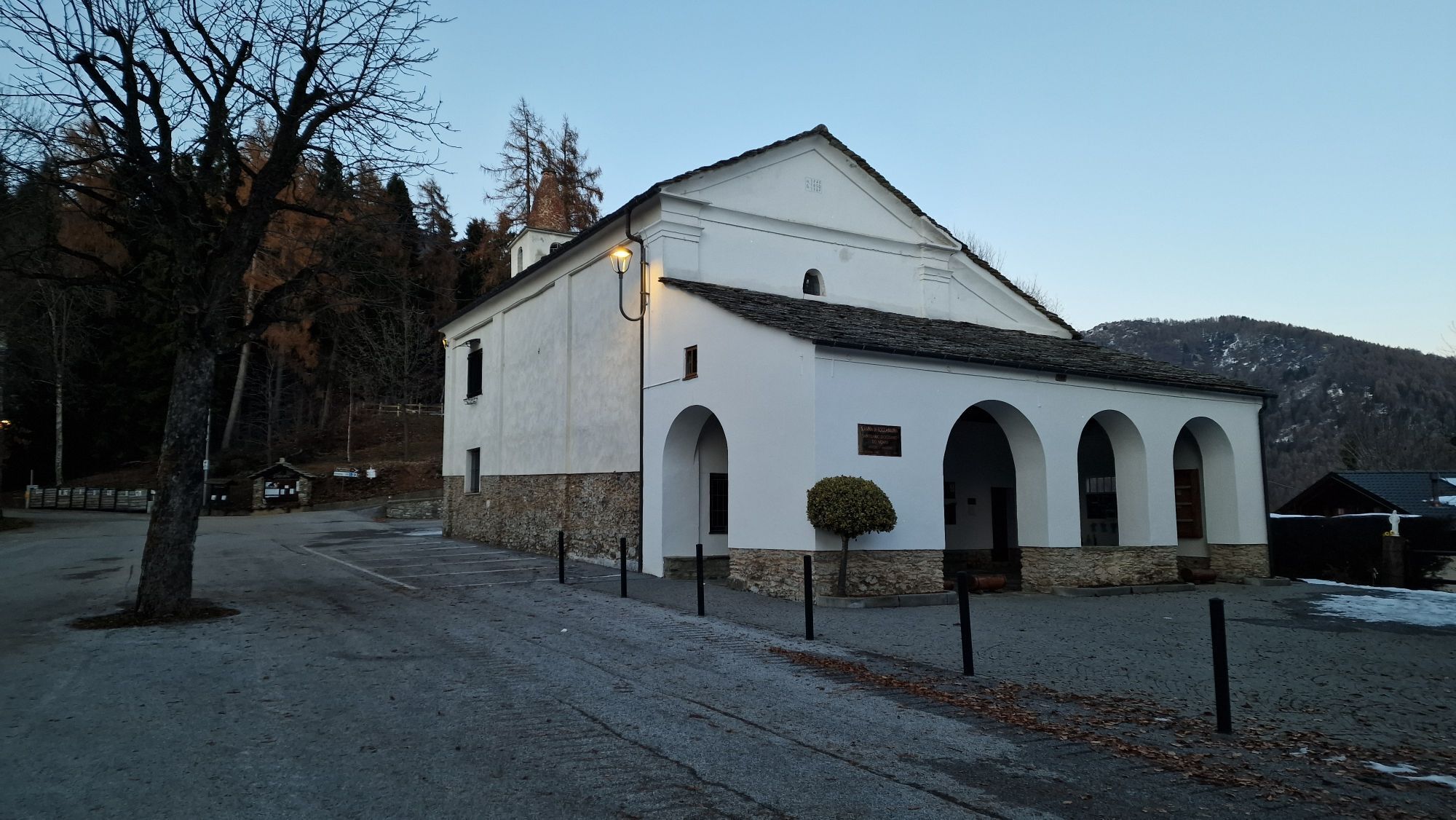
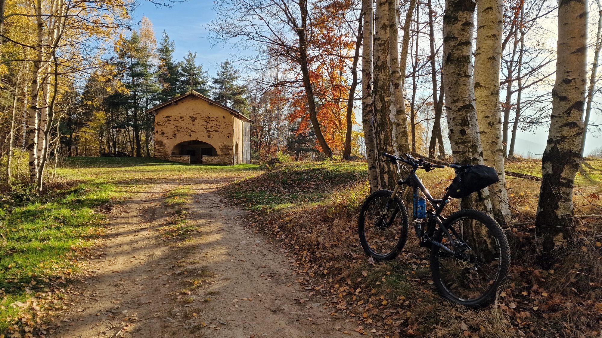
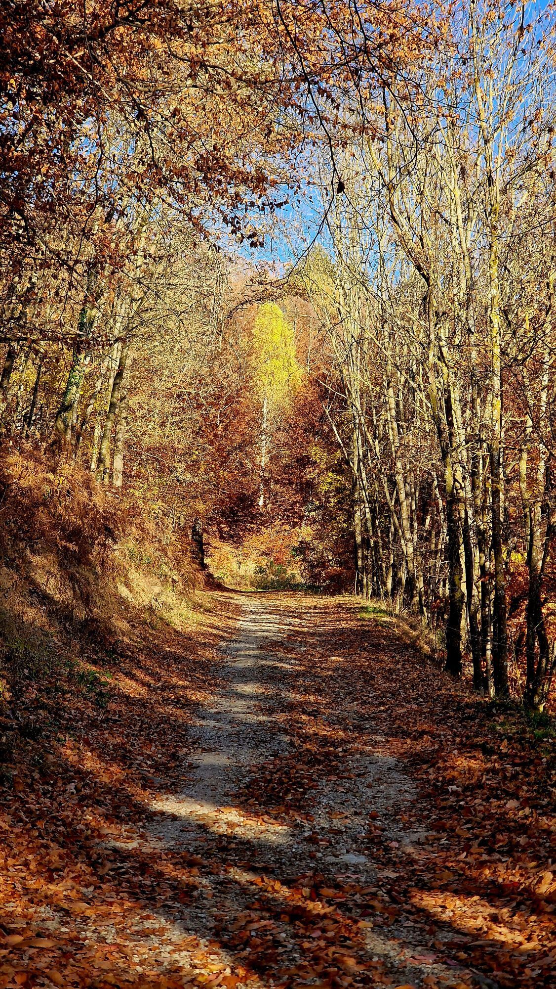
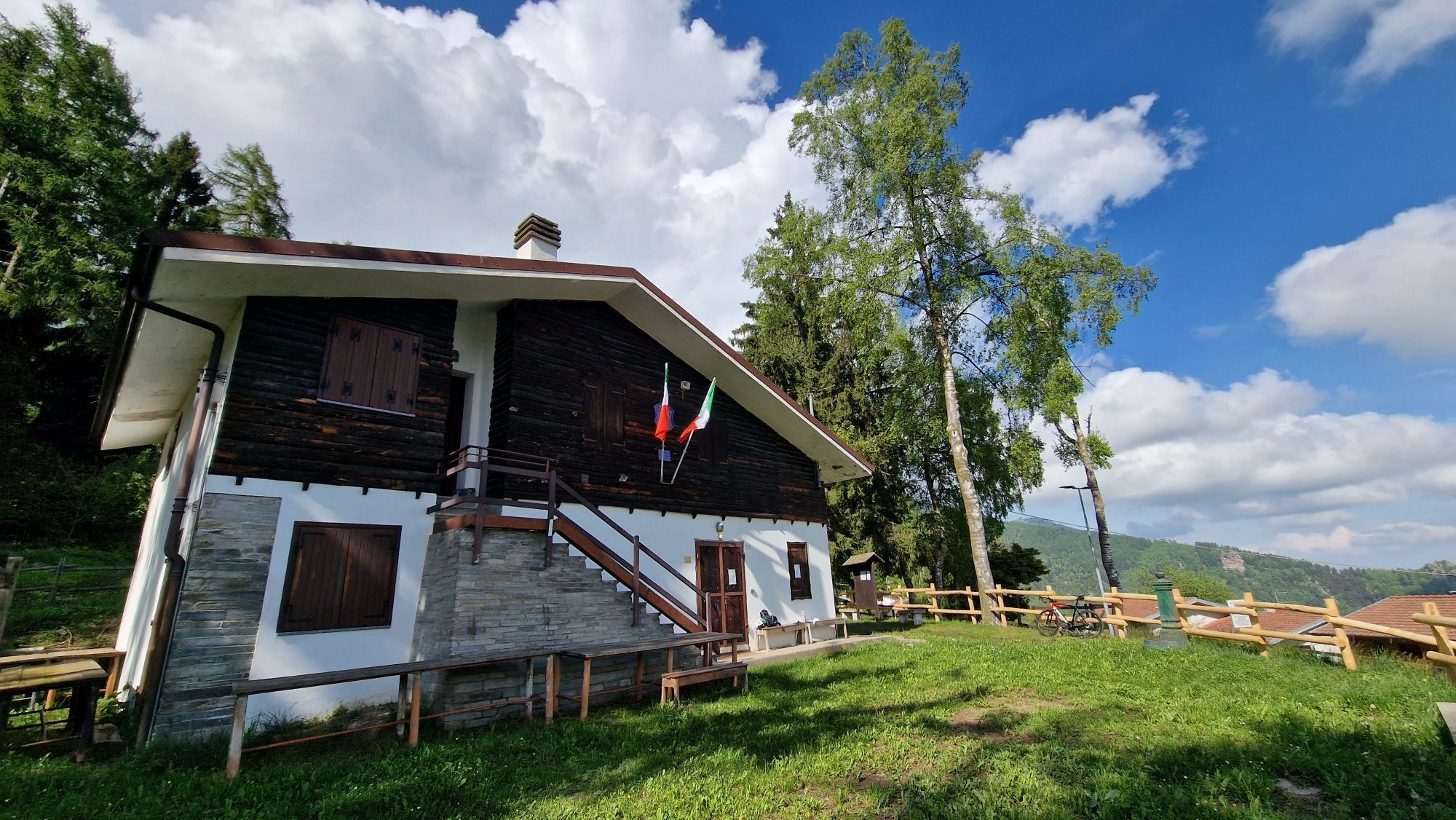
From the square in the hamlet of Sant'Anna (church) keep to the left, first on the asphalt (ignore the detours towards Colle della Ciabra) and then on the dirt road for 3.100 km as far as the large clearing...
From the square in the hamlet of Sant'Anna (church) keep to the left, first on the asphalt (ignore the detours towards Colle della Ciabra) and then on the dirt road for 3.100 km as far as the large clearing where the chapel of San Chiaffredo stands ( San Damiano Macra). Always keep to the main road and you will soon reach b.ta Roi (1212 m) and, a little further on, take the old mule track on the right bordered by dry-stone walls which reaches b.ta Mostiola. Keep to the hillside avoiding the various detours that go down to the valley until you reach b.ta Molineri di Pagliero (972 m). The last stretch of about 1.5 km that leads to Pagliero must be tackled on an asphalted road, first downhill then, once you reach the detour to San Damiano Macra, uphill until the end of the stage.

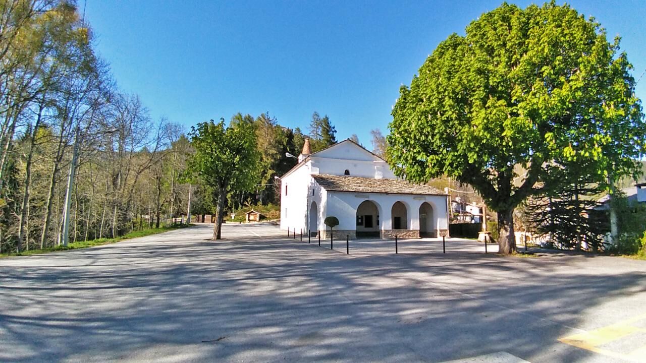
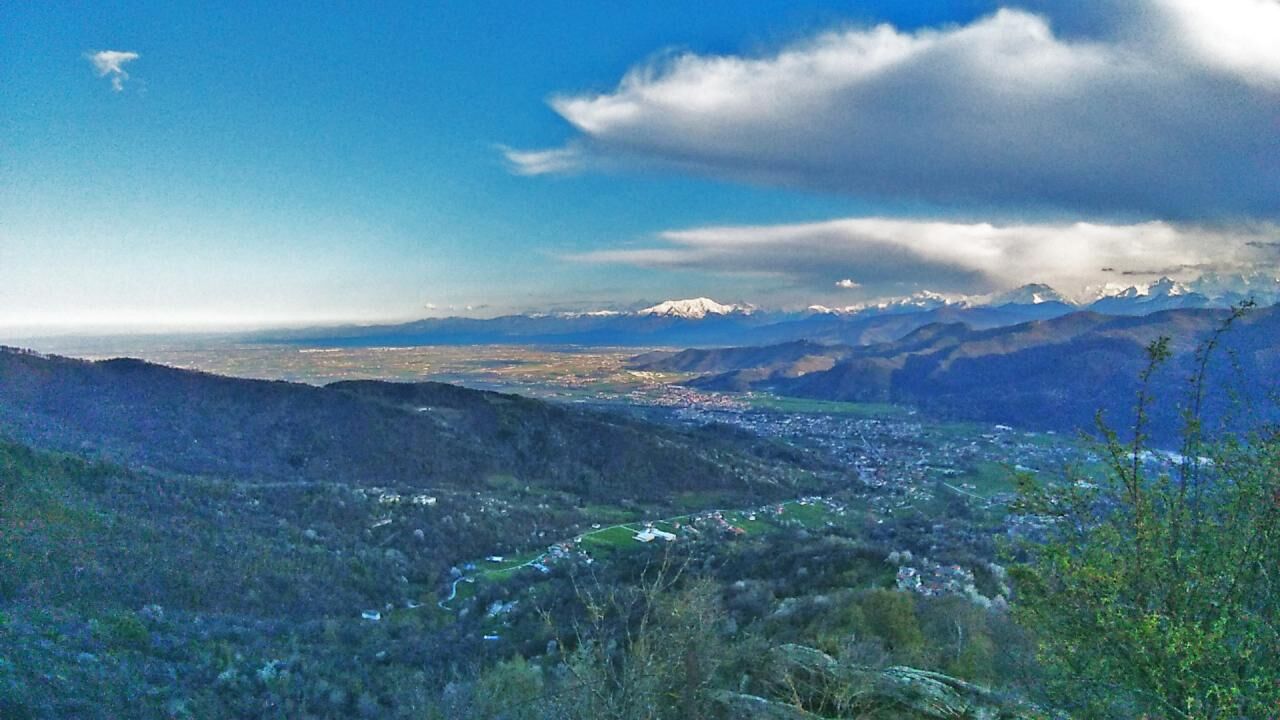
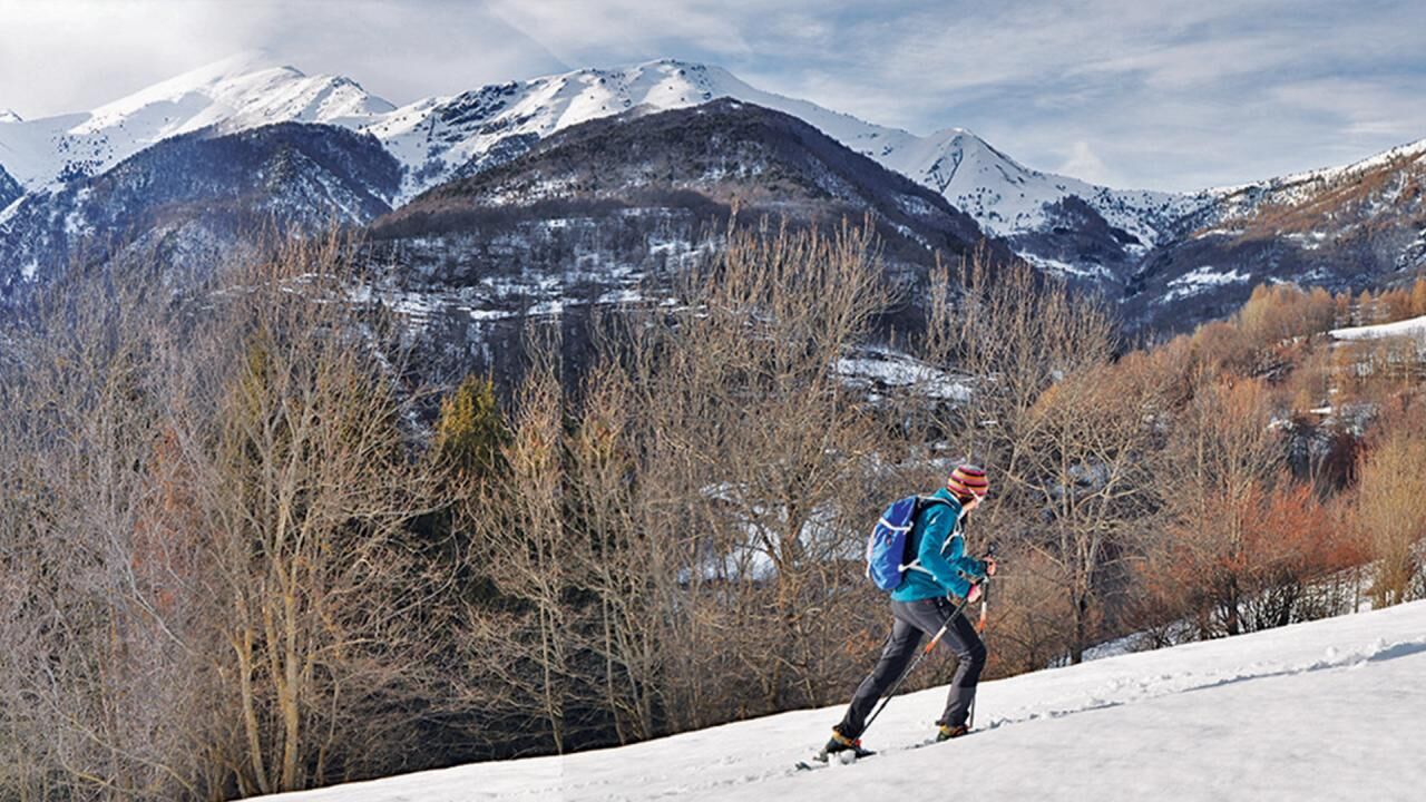

From the square in the hamlet of Sant'Anna (church) keep to the left, first on the asphalt (ignore the detours towards Colle della Ciabra) and then on the dirt road for 3.100 km as far as the large clearing where the chapel of San Chiaffredo stands ( San Damiano Macra). Always keep to the main road and you will soon reach b.ta Roi (1212 m) and, a little further on, take the old mule track on the right bordered by dry-stone walls which reaches b.ta Mostiola. Keep to the hillside avoiding the various detours that go down to the valley until you reach b.ta Molineri di Pagliero (972 m). The last stretch of about 1.5 km that leads to Pagliero must be tackled on an asphalted road, first downhill then, once you reach the detour to San Damiano Macra, uphill until the end of the stage.
Vodafone 100%
Roccabruna e San Damiano Macra sono raggiungibili con mezzi propri o con autobus di linea in partenza da Cuneo capoluogo www.buscompany.it/ati/orari www.benese.it/orari-bus - www.benese.it/orari-bus
www.buscompany.it/ati/orari www.benese.it/orari-bus
www.benese.it/orari-bus
Il quadrante solare (meridiana e in occitano soularies) sull'antico campanile della Chiesa parrocchiale di S. Giovanni Battista di Pagliero.
Priljubljeni izleti v okolici
-
4.0
Historic Mountain Routes | Cannon Road
težkoMountainbike 43.2 km -
5.0
Percorsi Occitani: Tappa 4 Frazione Camoglieres - San Martino Inferiore
srednjaPohodništvo 16.8 km -
3.5
Occitan Routes Stage 5 | San Martino Inferiore - Elva
srednjaPohodništvo 6.86 km -
5.0
Strada dei Cannoni
srednjaPohodništvo 56.1 km -
Along the roads of champions
težkoCestno kolo 173.6 km -
Occitan Routes: Stage 1 Ciciu di Villar - Frazione Sant'Anna di Roccabruna
srednjaPohodništvo 15.9 km -
Occitan Routes: Stage 3 Pagliero hamlet of San Damiano Macra - Camoglieres hamlet
srednjaPohodništvo 10.6 km -
Occitan Routes: Stage 12 Borgata Arata - Borgata Palent
srednjaPohodništvo 8.98 km -
Occitan Routes: Stage 13 Borgata Palent - Borgata Chiesa
srednjaPohodništvo 9.22 km -
GTA: Stage 57 Borgata Chiesa di Celle di Macra - Santuario San Magno
srednjaPohodništvo 14.6 km
Pohodništvo in sledenje


Ne zamudite ponudb in navdiha za naslednje počitnice
Vaš e-poštni naslov je bil dodan na poštni seznam.





