







DI VALLE IN VALLE: Tappa 1 Rossa-Cervatto
The itinerary will start from the western limit of the municipality of Rossa, will follow the first section of the existing pedestrian road towards Giavinelle (VCA396), going up the local road and from...
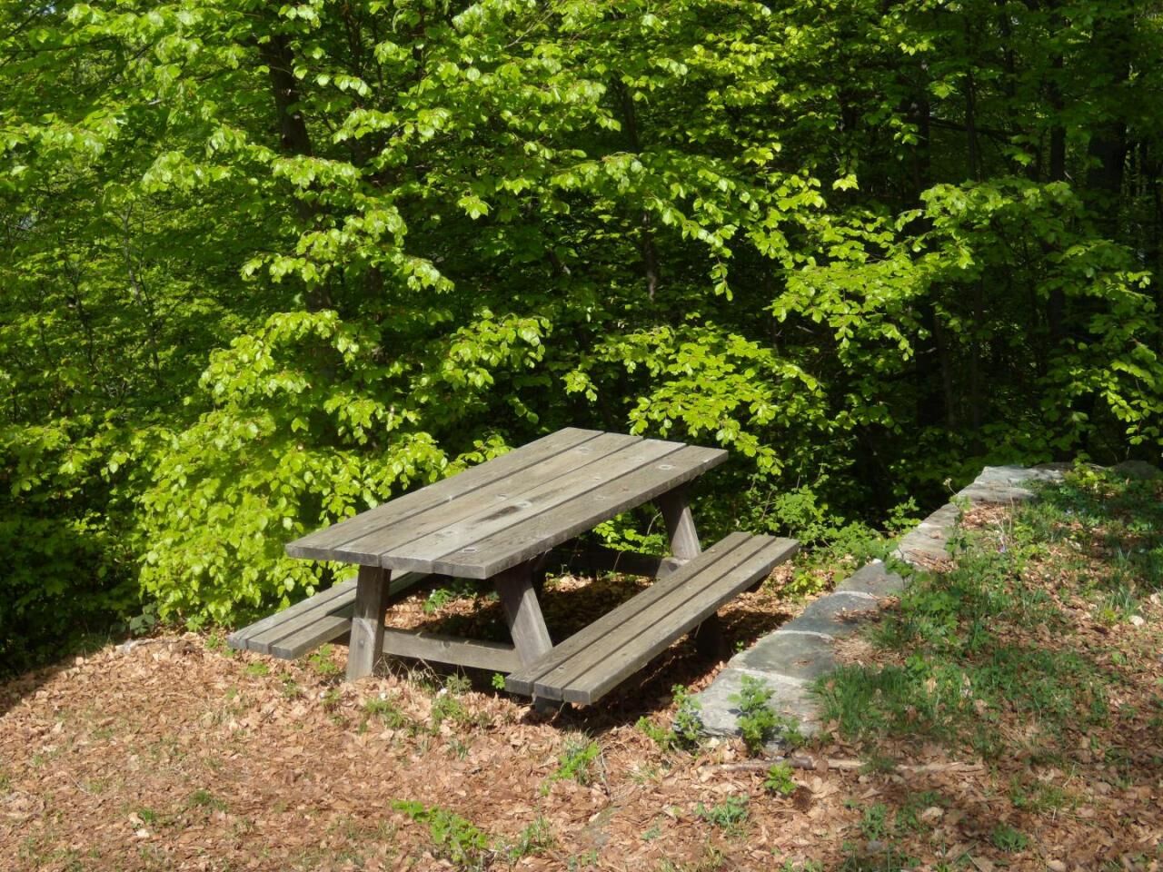
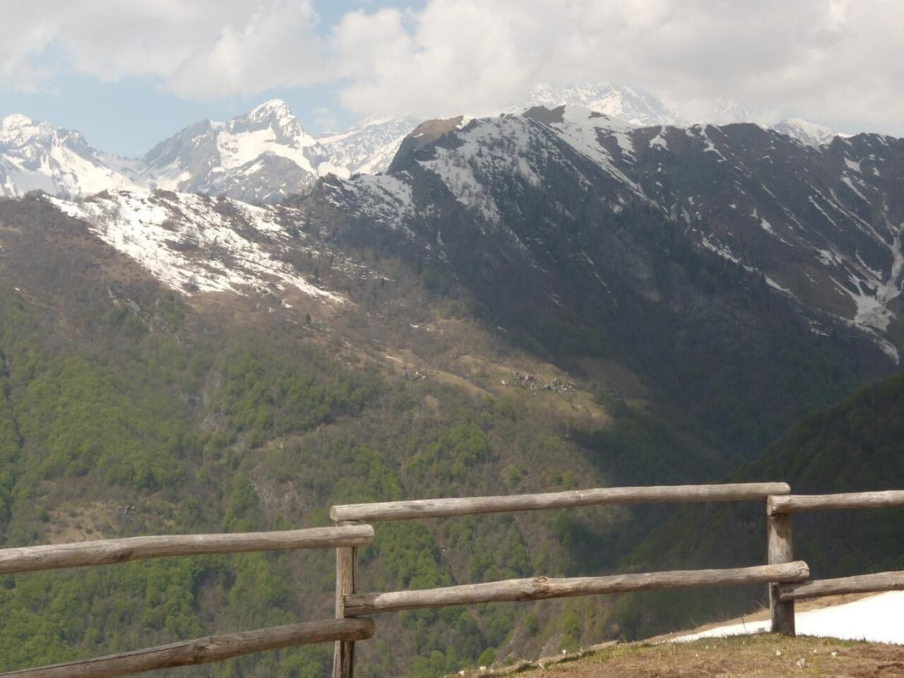
The itinerary will start from the western limit of the municipality of Rossa, will follow the first section of the existing pedestrian road towards Giavinelle (VCA396), going up the local road and from the crossroads (VCA398) passing by the Ape Prese, it will follow a short track to return on the local road that goes from the mountain of Rainero up to the chapel of Alpe Selletto, where it is possible to stop. From here, following the local road along the watershed (VCA400 trail sign), the route goes up to Alpe Campello and continues up to the crossroads between routes 400, 404, then taking the direction of path VCA404 and abandoning the path that goes up to Alpe Prà Bianco and to the top of Pizzo Tracciora. Once you reach the crest, the itinerary enters the territory of the municipality of Cravagliana, always following the VCA404 path. In this first portion of the itinerary, it is possible to stop at the Rainero farm, as well as take advantage of the various accommodation facilities present in the capital of Rossa and meet the farmers of the pastures crossed. There is an equipped rest area at Alpe Selletto. From the border between Rossa and Cravagliana, the itinerary continues in the municipality of Cravagliana along the VCA404, halfway up the slope, reaching the Masaroli alp and from here the crest of Pizzo Tracciora, where it joins the VCA501 path, which descends to Villa Banfi. Following the crest and trail sign 501, along the border between the municipalities of Cervatto and Cravagliana, you reach Villa Banfi and the crossroads with route 503. Having descended from Villa Banfi to Prati Rossi, in the municipality of Cervatto, along the zizzagant mule track, the itinerary involves reaching Giavina and Cadvilli di Cervatto via the VCA503 path, and from here taking the path that goes up behind the Villa dell'Acqua to stop in Cervatto. Otherwise, from Prati Rossi it is possible to reach Alpe Oro delle Balme in 15 minutes and stop in the alpine refuge of the same name.


Da
mixed TIM - VODAFONE
Provincial road 299 of Valsesia up to Balmuccia and SP of Val Sermenza up to the car park in the capital of Rossa Provincial road 299 of Valsesia up to Varallo and SP of Val Mastallone up to the car park in the capital of Cervatto
FLEXIBUS on-call service with terminus in VARALLO unionemontanavalsesia.it/Servizi/Usare un mezzo di transport/Urban - Extra-urban transport
Rossa Capital - Vetta Pizzo Tracciora - Villa Banfi - Sella di Camplasco - Oro Negro - Cervatto Capital - The hamlets of Cervatto crossed (Oro Balme, Giavine, Cadvilli). The river environments of the Sermenza and Cervo torrents and the fishing reserves and selection of fish fauna.
Priljubljeni izleti v okolici
-
Alpe Piè di Baranca - Colle d'Egua
srednjaPohodništvo 12.2 km -
Carcoforo- colle del termo- rima
srednjaGorski pohodništvo 8.38 km -
Ciclabile della Valsesia: Tappa 5 Piode - Alagna Valsesia
težkoKolesarjenje na dolge razdalje 15.5 km -
Ciclabile della Valsesia: Tappa 4 Scopello - Piode
težkoKolesarjenje na dolge razdalje 32.1 km -
Ciclabile della Valsesia: Tappa 3 Varallo - Scopello
težkoKolesarjenje na dolge razdalje 19.8 km -
Stra' Granda Stage 2: Frazione di Pontegrande - Frazione Staffa
svetlobaPohodništvo 18.1 km -
Valsesia Cycle Path
težkoKolesarjenje na dolge razdalje 94.4 km -
Balmuccia-Alagna cycle path
srednjaMountainbike 29.1 km -
Pie’baranca- colle d’egua- carcoforo
srednjaGorski pohodništvo 9.84 km -
Historic Mountain Routes | Mud Hill
srednjaPohodništvo 4.31 km
Pohodništvo in sledenje


Ne zamudite ponudb in navdiha za naslednje počitnice
Vaš e-poštni naslov je bil dodan na poštni seznam.





