







Panoramic loop of the Vigezzo plain
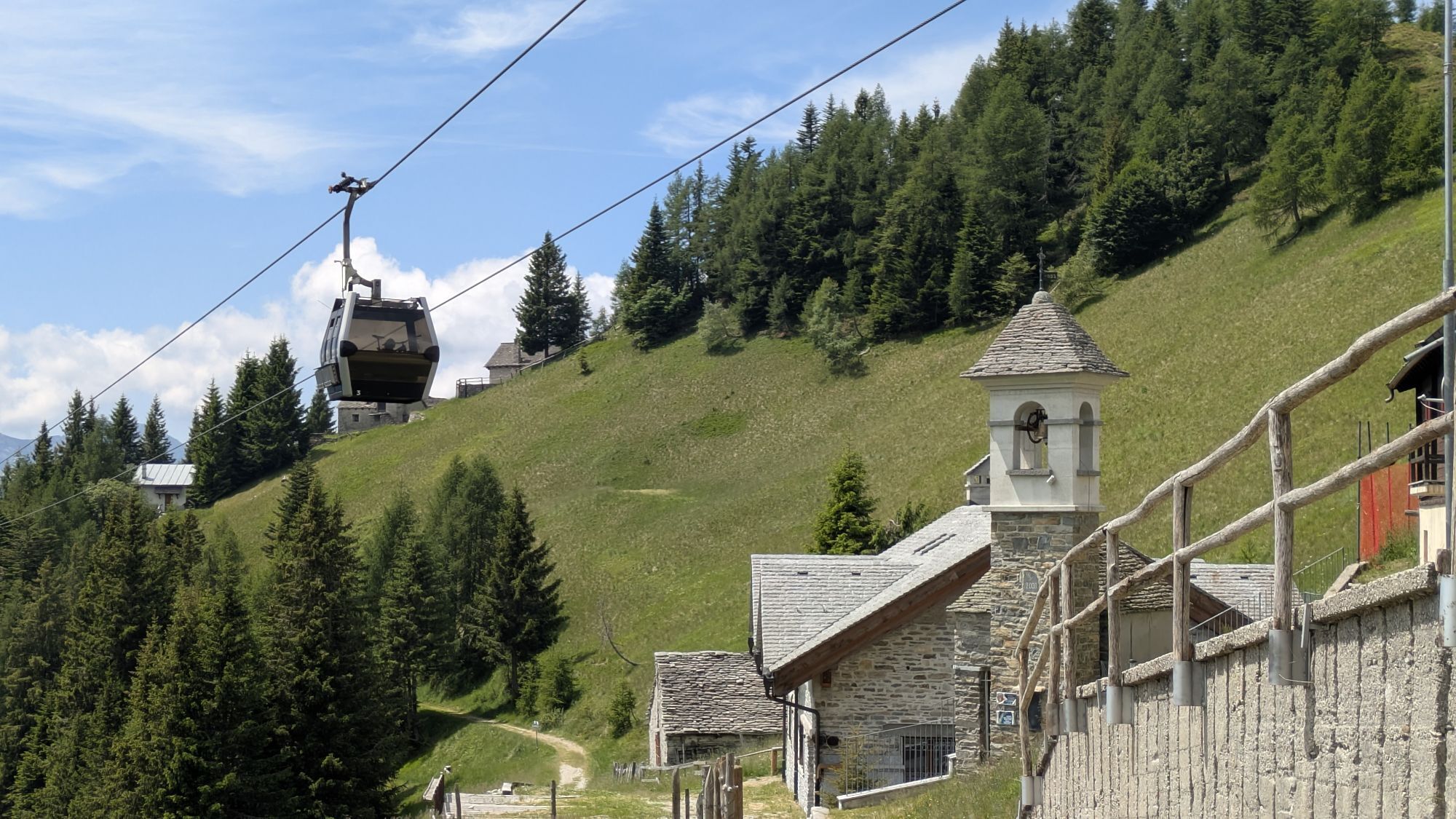
Take the cable car from the Prestinone hamlet of Craveggia to Piana di Vigezzo. Once you reach the snow, turn right, skirting the building, and take the trail that descends slightly beneath the cable car...
The clearly visible trail continues on a slight slope, heading directly toward some houses already visible. Once you reach them, turn right, passing just above the small village and continuing on a now less traveled but intuitive trail (signposted "M25 Colma di Fuori"). The trail continues gradually, without forks, with panoramic views to the left of the Vigezzo Valley and the main peaks of the Val Grande, while often remaining among the trees. When you reach an open area, you also reach the first fork. On the left, down below, you can see an alpine pasture: on the right, a steep path leads to La Cima, while our route continues straight, flat (signposted "Colma di Dentro"). Before continuing, it's essential to stop and admire the view, which encompasses the Monte Rosa Massif (4,634 m), among other peaks.
The trail now continues through a thicker forest. Shortly after this intersection, you'll come across the only fork: keep left, descending very slightly (just before it, a small MTB sign). You'll circle the entire ridge, returning to the sun and easily arriving at a few scattered huts in Colma di Dentro.
You head toward the nearest ski lift pylon, where you'll find some red and white signs; you won't follow any of these signs, but instead take the gradual, unmarked trail that leads away on a flat path. The trail, narrower and less scenic than the previous one but still evocative, continues gradually and without forks, opening up views this time toward Cima Trubbio, passing beneath the cables of the chairlift that reaches Cima 2, visible by looking up to the right. When the trail briefly rises, you emerge at the edge of the slope coming from Cima 2. Carefully cross it, returning to the cable car station.
An easy hike, with no elevation gain or difficulty, suitable even for younger children. At the panoramic crossroads, large plateaus open up where you can stop to play and slide, as at Colma di Dentro.


White/red CAI signs “Colma di Fuori” “Colma di Dentro” MTB signs.
Da
Practical tips:
- Check the weather and snow conditions, especially local forecasts; - Check the avalanche bulletin for your area;
- Always equip yourself with and carry with you the necessary avalanche rescue equipment: shovel, probe, and ARTVa;
- Wear warm, waterproof clothing that is comfortable and includes several layers...despite the snow, moving around helps keep you warm;
- Trekking shoes or mountain boots, depending on the area, terrain, and altitude where you're hiking;
- Bring gloves, a hat, sunglasses, and sunscreen;
- Bring a backpack with a spare sweater and hot drinks;
- during the excursion, always check the slopes above: avalanches usually trigger on slopes above 25° and can continue their course even on flat terrain.
The Vigezzo Plain is 18 km from Domodossola. Take the Sempione State Road 33 and exit at Masera. Follow signs for the Vigezzo Valley State Road 337 until you reach the town of Santa Maria Maggiore, then head towards Craveggia, Prestinone - Piana di Vigezzo.
In certain snow conditions, the groomed trail makes it possible even without snowshoes. It's best to equip yourself with a map or a dedicated app to identify the numerous peaks visible during the hike.
Priljubljeni izleti v okolici
-
5.0
Spruga-Alpe Saléi-Comologno
srednjaPohodništvo 8.96 km -
3.5
The Market Route (SwitzerlandMobile 631)
srednjaPohodništvo 12.1 km -
5.0
Cimalmotto-Lake Sfii-Cimalmotto
srednjaPohodništvo 12.6 km -
5.0
Monte Comino-In di Mètri-Monte Comino
srednjaPohodništvo 5.98 km -
5.0
Cimalmotto-Alpe Magnello-Cimalmotto
srednjaPohodništvo 8.82 km -
5.0
Val Cannobina route
srednjaCestno kolo 78.2 km -
5.0
Via Alta Vallemaggia - Stage 13: Cimalmotto-Capanna Ribia
težkoPohodništvo 12.3 km -
Street of the Market Domodossola - Locarno
srednjaPohodništvo v daljavo 54.6 km -
5.0
Von Cimalmotto zum Lago di Sfile
srednjaPohodništvo 5.47 km -
The energy places of Centovalli
srednjaTematska pot 8.47 km

Pohodništvo in sledenje


Ne zamudite ponudb in navdiha za naslednje počitnice
Vaš e-poštni naslov je bil dodan na poštni seznam.





