


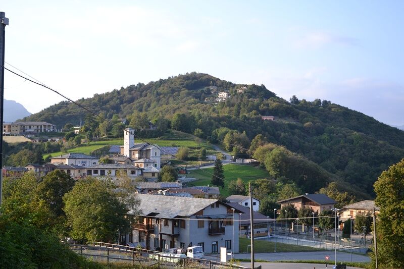
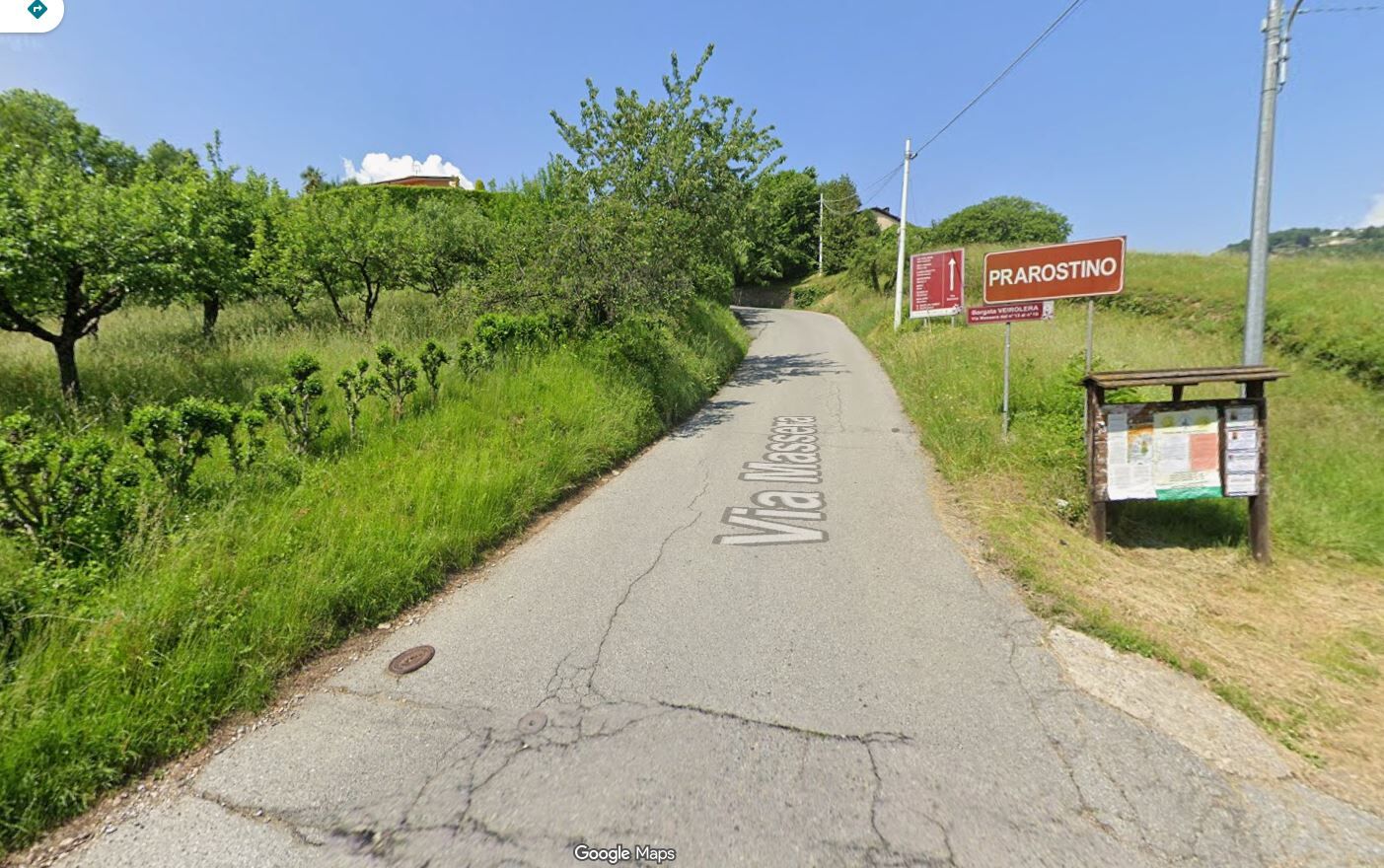
SAN SECONDO DI PINEROLO Ascent to Prarostino (variant Via Massera)
This variant halves the distance of the climb between San Secondo and Prarostino compared to the passage on Provincial Road No. 165, but maintains the overall elevation gain.
The "climb" takes place along...
The "climb" takes place along Via Massera, a real "wall" where slopes of up to 30 percent are faced.
In the last stretch, immersed in the shade of the woods, the slopes soften and you can take a slight rest, although the road continues to climb until San Bartolomeo, capital of the municipality of Prarostino.

Appropriate clothing and equipment are recommended.
Before embarking on any excursion, it is advisable to consult weather reports or ask for information at local Tourism Offices.
It is good practice not to embark on a hike alone, always notify your destination.
Do not throw garbage into the environment but take it with you, picking up any garbage left by others.
The hiking times given are approximate and may vary depending on weather conditions and your own ability.
Alternatively, you can follow the Pinerolo ring road to the junction with SP 164 in Prarostino and reach San Secondo (2.5 km) via the hamlet of Miradolo.
After reaching Pinerolo by bus or train, it is possible to reach San Secondo di Pinerolo directly by bicycle in about 15 minutes (4.5 km) via the hamlet of Miradolo.
A number of free parking lots are located at the center of San Secondo.
Average slope 14.41 %
Maximum slope 30 %
Priljubljeni izleti v okolici
PRAROSTINO From Piani to Sonagliette and back - SLOWLY TOGETHER
svetlobaPohodništvo 6.60 kmLUSERNA S.G. Upslowtour - Angrogna Valley Ring 11
srednjaKolesarjenje 35.0 kmVILLAR PELLICE Inverso path
svetlobaPohodništvo 5.62 kmTORRE PELLICE Hike to Bars d'la tajola (and Monte Castlus)
srednjaPohodništvo 4.40 kmBOBBIO PELLICE Trail of the Invincibles
srednjaPohodništvo 19.1 kmLUSERNA S.G. Upslowtour - Luserna Stone Loop 9
srednjaKolesarjenje 38.1 kmPINEROLO Trail "Ecomuseum of the Charcoal Piles"
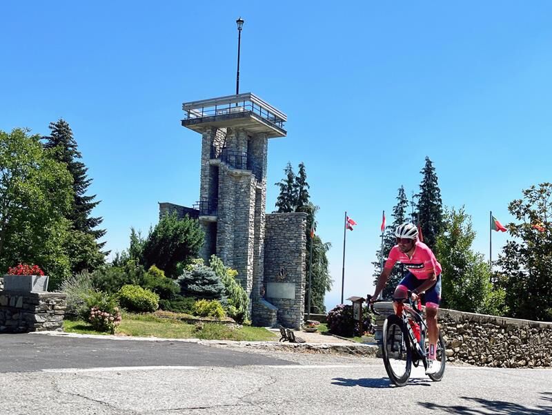
srednjaPohodništvo 7.46 kmPRAROSTINO Faro della Libertà Walk
svetlobaPohodništvo 3.60 kmROLETTO Upslowtour - Ring 15 Pedemontano
težkoKolesarjenje 29.8 kmPINASCA Grandubbione Ring
srednjaKolesarjenje 28.8 km

Pohodništvo in sledenje


Ne zamudite ponudb in navdiha za naslednje počitnice
Vaš e-poštni naslov je bil dodan na poštni seznam.