







TURIN - From the city center to the beautiful hills of Sciolze and Cinzano.
Challenging road tour. The steep climb from Sassi to Superga is the most difficult uphill (it can be avoided by using the Sassi-Superga tramway, after calling for bikes in tow). Once past the Basilica,...
Challenging road tour. The steep climb from Sassi to Superga is the most difficult uphill (it can be avoided by using the Sassi-Superga tramway, after calling for bikes in tow). Once past the Basilica, you face a long series of ups and downs on secondary roads in the hills east of Turin, which provide wonderful views. On a clear day, you can admire the Alpine arc between Montaldo T.se, Sciolze, Cinzano (from the lookout point, the Matterhorn and Monte Rosa seem very close) and Bardassano, before returning to the Po at Castiglione Torinese, from which you head back toward the city.
*The Tour can also be tackled clockwise, following the Po River at the beginning of the tour to Castiglione Torinese, to make the ascent more gradual, taking the steep Superga-Sassi descent at the end of the tour.

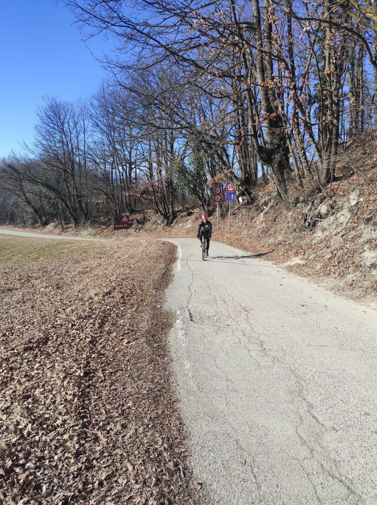

Starting near the passerela CHiaves and the Motovelodromodi Torino, proceed along Corso CAsale to the Sassi "dentera" railway station. Turn right and enter the steep climbthat leads to Superga (Strada di Superga). After reaching the basilica, return to the small town on the hill and follow the signs for Baldissero Torinese. Suoerata Baldissero, proceed for about 3.5 km in the direction of Chieri and then turn left into Strada del Cervo. After Tetti Valentino go down Via Chieri and follow it for a few hundred meters northward before turning right uphill toward Montaldo Torinese. In Montaldo Torinese it is worth seeing the Castle (Hotel and SPA) from the outside. Continue then toward Trinity and Sciolze. From Sciolze (trattoria along the way) descend to a fork in the road and continue straight on towards Cinzano. When you reach Cinzano, from the lookout, re-enter re to Sant'Antonio on the outward road and then turn right to descend to Rivalba. At the junction to the center of Rivalba, turn left and climb up to Sciolze. For 2 kmin ascent retrace the outward slab and then follow signs to Bardassano and Castiglione Torinese. From Castiglione, along the state road reach San Mauro and leave the main road, entering the bicycle path (beaten dirt road) that leads back to Meisino Park and Turin.
Da
Road or gravel bike.
Some shaded sections may be wet and slippery in winter.
Drive along COrso Casale following the direction of the Po, to the Motovelodromo (on the right) and park 200m after the sports facility
Several public transportation routes lead to the Fausto Coppi Motovelodromo in Turin. In any case, the starting point of the track is very close to the center of Turin
Parking in the vicinity of the Motovelodrome
If you want to avoid the Meisino Park dirt road, you can return to the state highway (Corso Casale).
Priljubljeni izleti v okolici
-
CAMBIAN toward Riva presso Chieri
svetlobaKolesarjenje 22.8 km -
ANDEZENO - Panoramic loop towards Pino Torinese
srednjaKolesarjenje 35.0 km -
CHIERI - Among vineyards, hills and history toward the Abbey of Vezzolano.
srednjaCestno kolo 58.6 km -
Gran Gravel Tour in the Oltre Collina Torinese in 4 stages
težkoKolesarjenje na dolge razdalje 230.6 km -
CHIERI - Ring in the surroundings
srednjaKolesarjenje 24.4 km -
CHIERI - Ring toward Pavarolo, Montaldo T.se and Andezeno
srednjaKolesarjenje 32.9 km -
CASALBORGONE - Bosc Grand and Bosco del Vaj by MTB
srednjaMountainbike 22.6 km -
CHIERI - Loop towards Riva presso Chieri
Kolesarjenje 32.5 km -
TURIN - Double loop with 3 adrenaline-pumping MTB descents
težkoMountainbike 25.9 km -
Cycling between Arignano, Moriondo and Mombello
srednjaKolesarjenje na dolge razdalje 28.1 km
Pohodništvo in sledenje


Ne zamudite ponudb in navdiha za naslednje počitnice
Vaš e-poštni naslov je bil dodan na poštni seznam.





