


BARDONECCHIA Colle della Scala - Névache - Laval
Stopnja težavnosti: 3
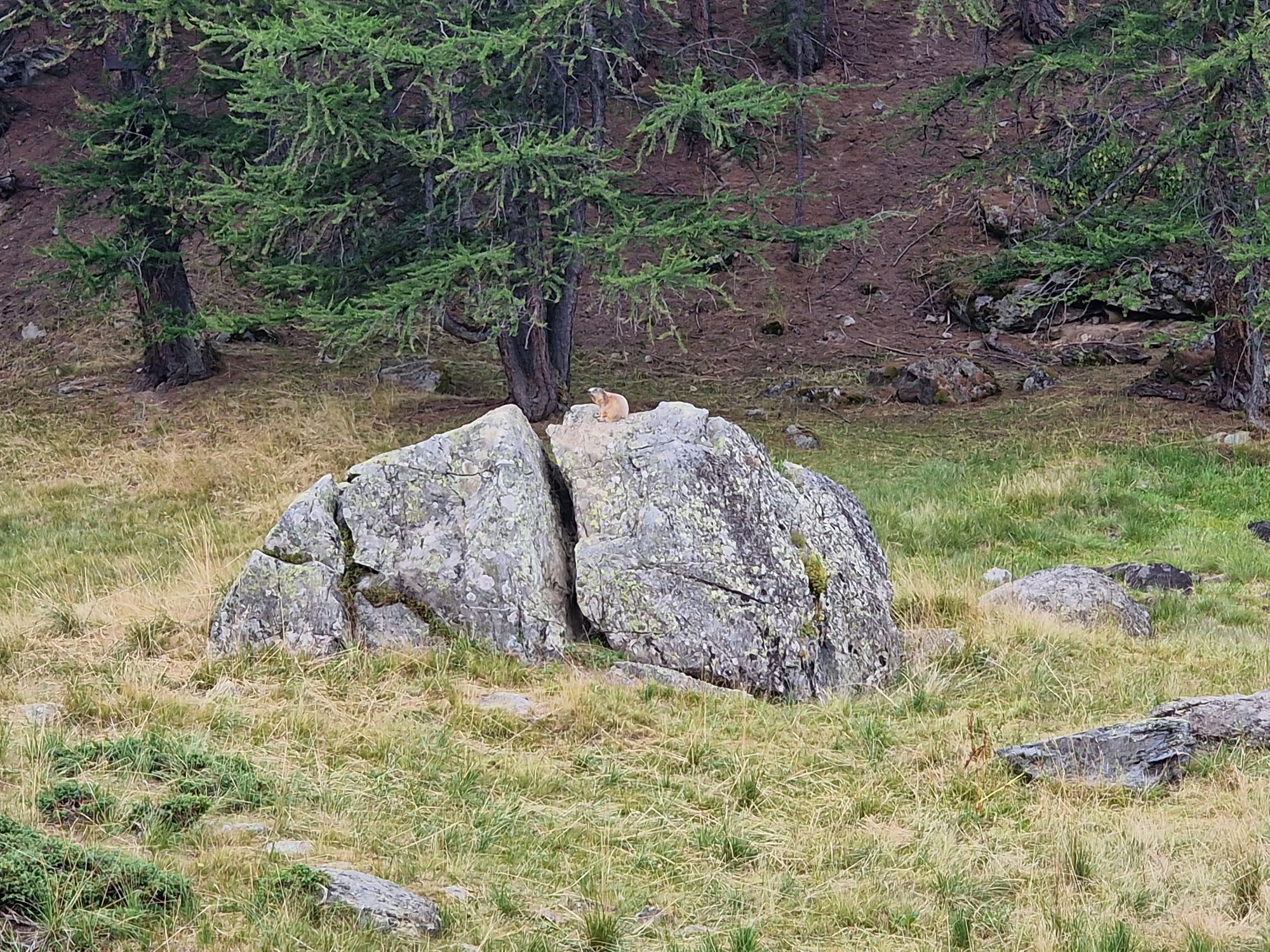
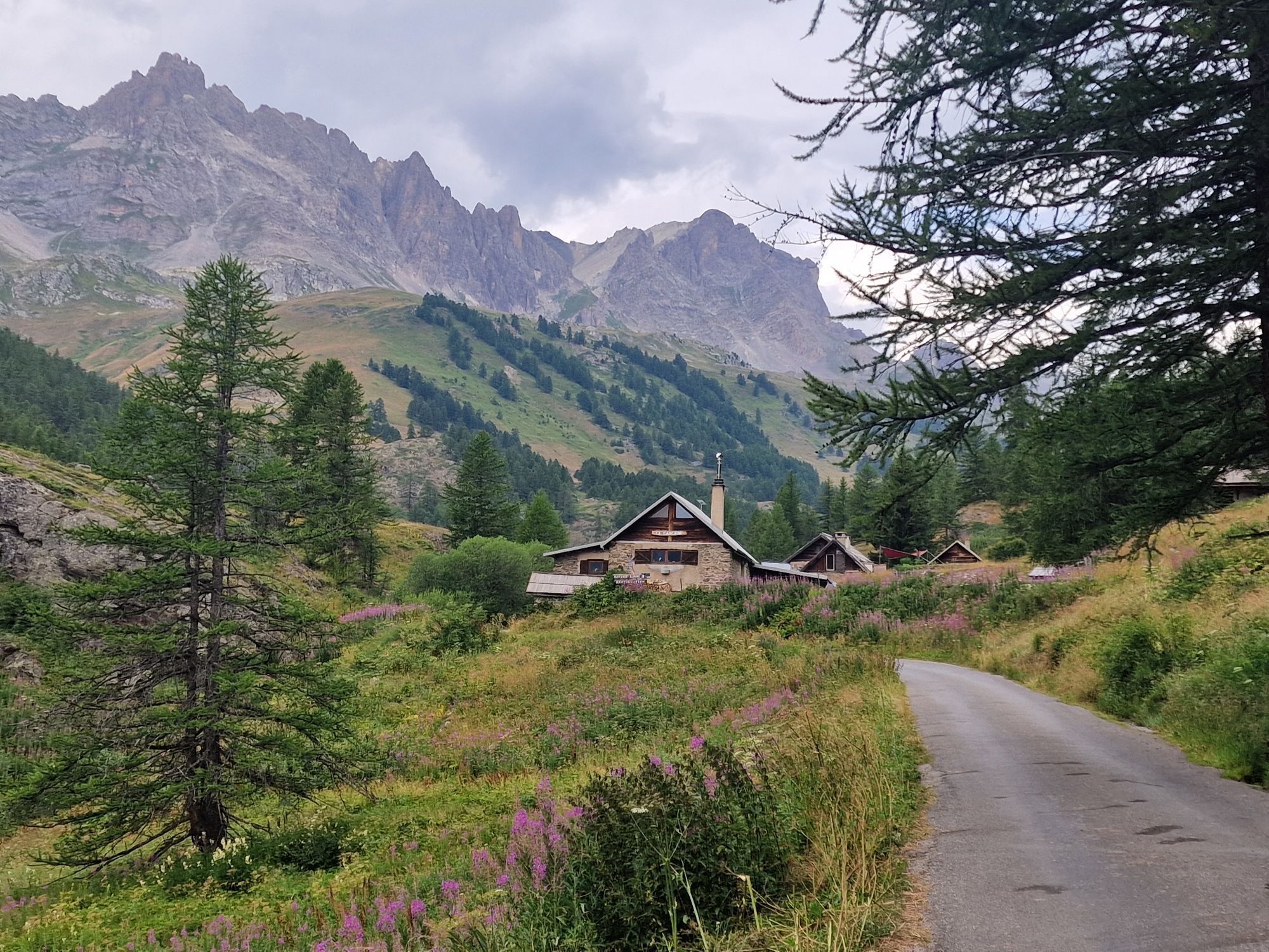
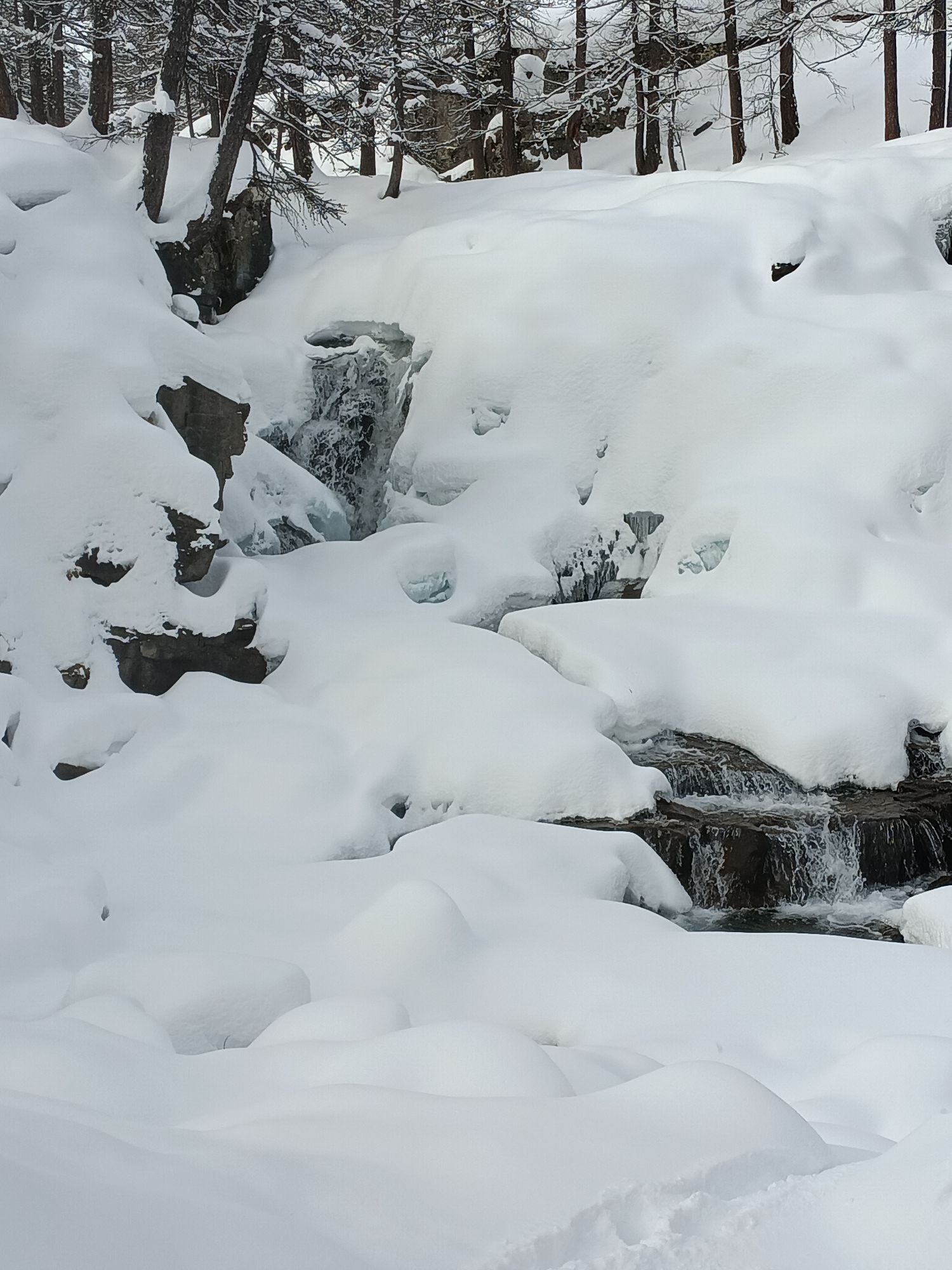
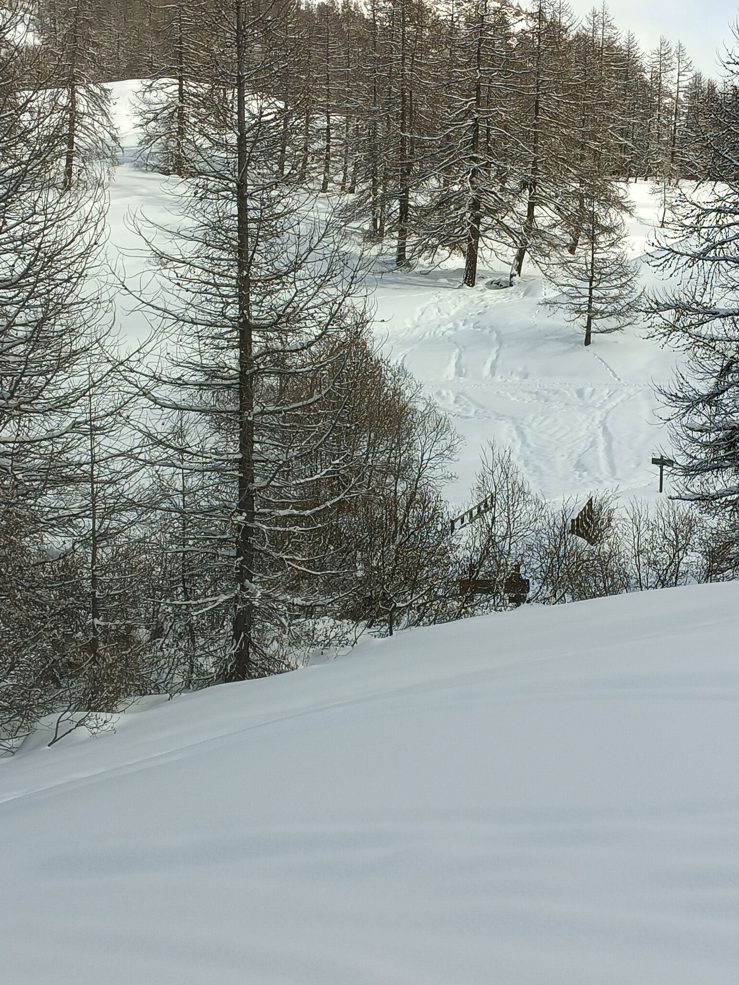
Fotografije naših uporabnikov
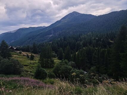
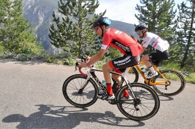
 © Cyrille BAILLARGEAUUstvarjeno na 19.07.2025
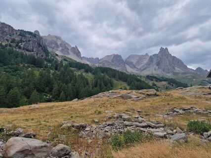 © Cyrille BAILLARGEAUUstvarjeno na 19.07.2025
 © Cyrille BAILLARGEAUUstvarjeno na 19.07.2025
 © Cyrille BAILLARGEAUUstvarjeno na 19.07.2025
 © Cyrille BAILLARGEAUUstvarjeno na 19.07.2025
 © Cyrille BAILLARGEAUUstvarjeno na 19.07.2025
 © Cyrille BAILLARGEAUUstvarjeno na 19.07.2025
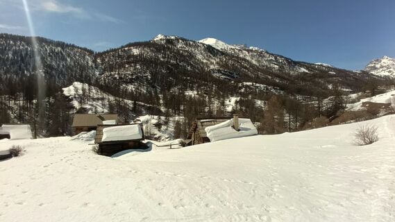
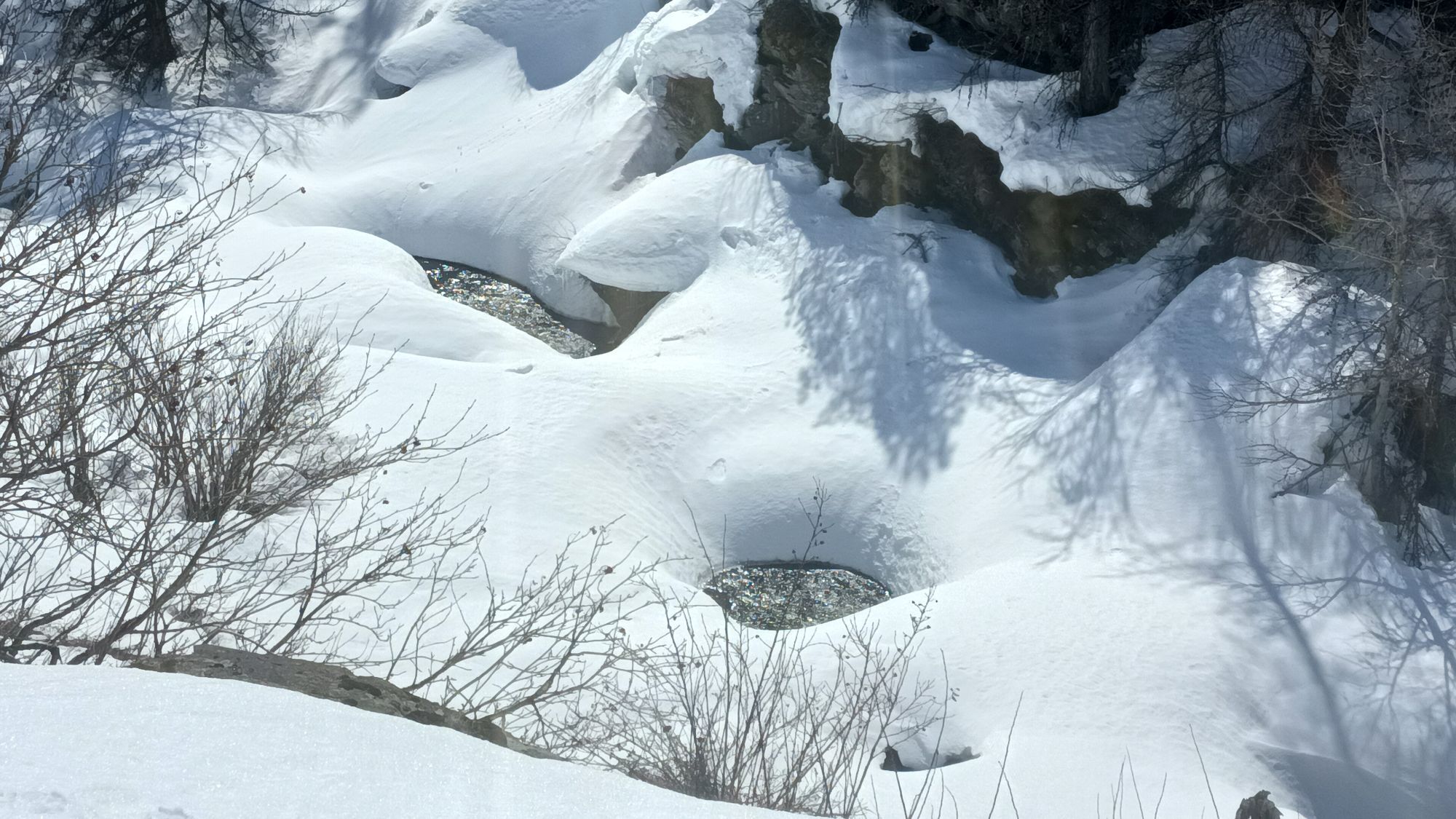
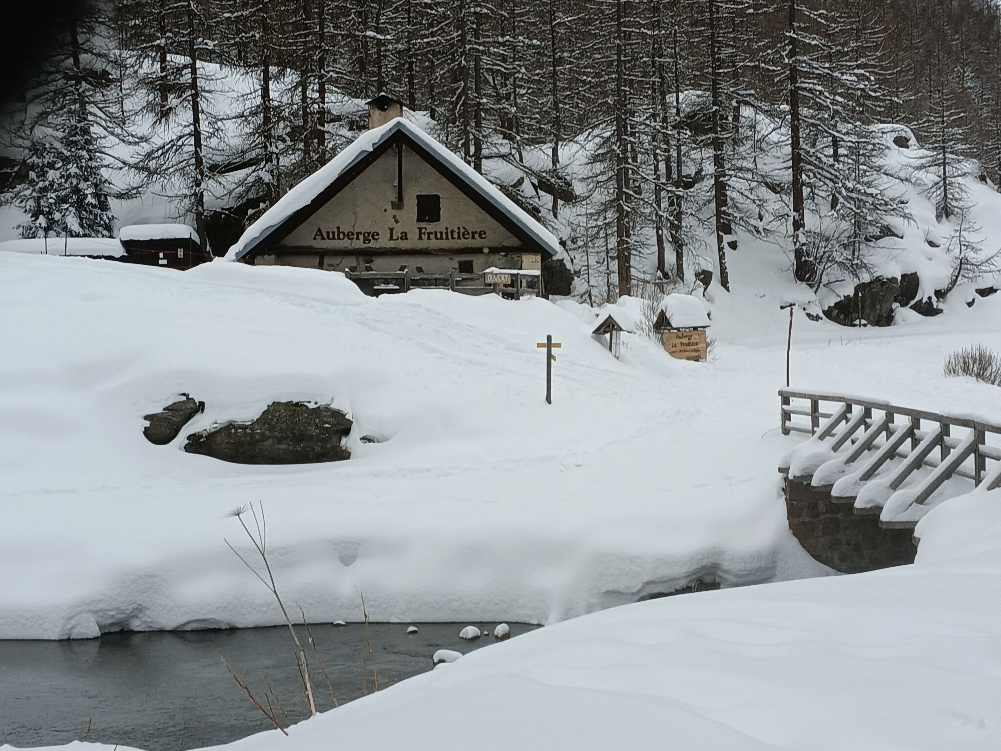
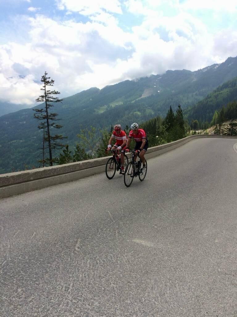
 © JC BRETUstvarjeno na 24.03.2026
 © JC BRETUstvarjeno na 24.03.2026
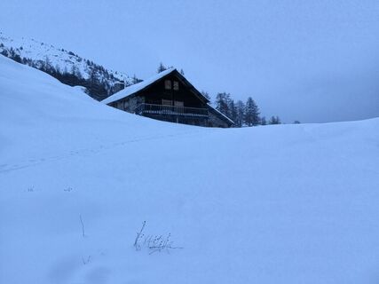 © JC BRETUstvarjeno na 24.01.2026
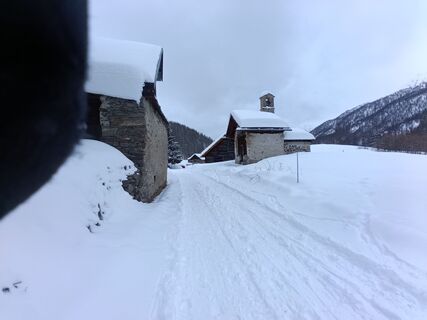 © JC BRETUstvarjeno na 24.01.2026
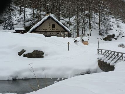 © JC BRETUstvarjeno na 24.01.2026
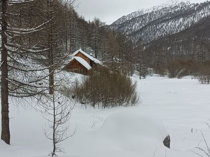 © JC BRETUstvarjeno na 24.01.2026
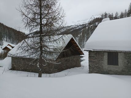 © JC BRETUstvarjeno na 24.01.2026
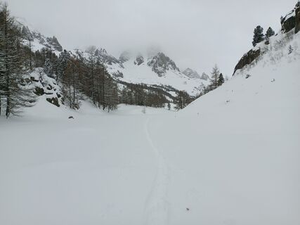 © JC BRETUstvarjeno na 24.01.2026
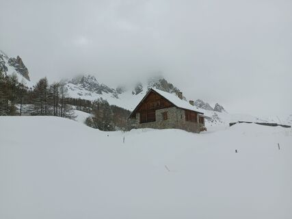 © JC BRETUstvarjeno na 24.01.2026
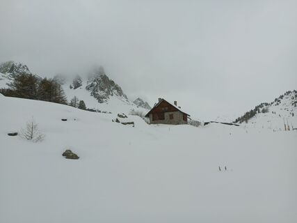 © JC BRETUstvarjeno na 24.01.2026
 © JC BRETUstvarjeno na 24.01.2026
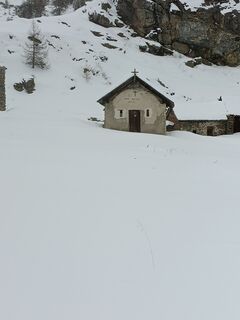 © JC BRETUstvarjeno na 24.01.2026
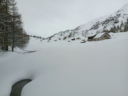 © JC BRETUstvarjeno na 24.01.2026
 © JC BRETUstvarjeno na 24.01.2026
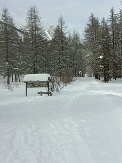 © JC BRETUstvarjeno na 24.01.2026
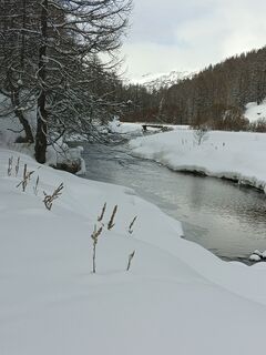 © JC BRETUstvarjeno na 24.01.2026
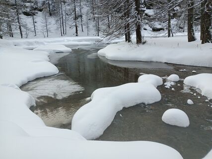 © JC BRETUstvarjeno na 24.01.2026
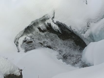 © JC BRETUstvarjeno na 24.01.2026
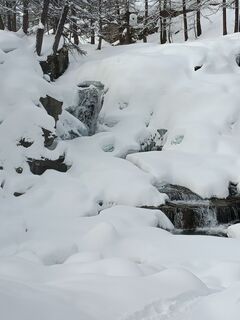 © JC BRETUstvarjeno na 24.01.2026
 © JC BRETUstvarjeno na 24.01.2026
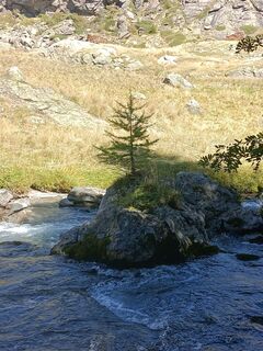 © JC BRETUstvarjeno na 07.09.2025


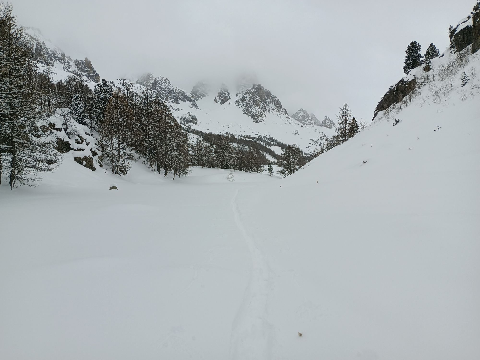


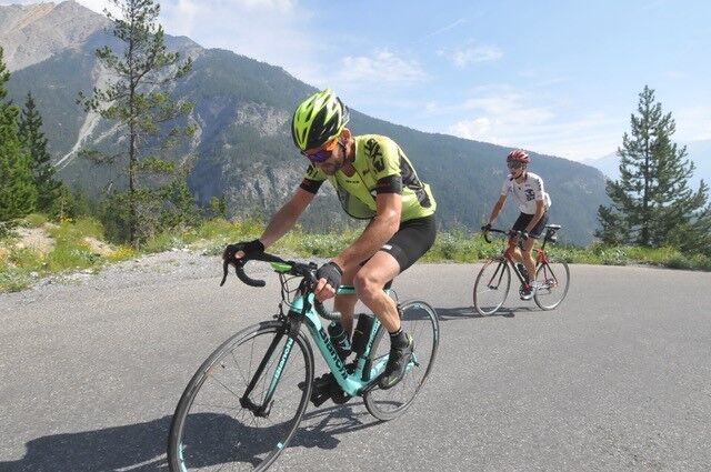
The itinerary begins with a gradual climb towards Pian del Colle, then steepens with a harsher gradient along hairpin bends carved into the sheer rock, leading to Colle della Scala, from which you can...
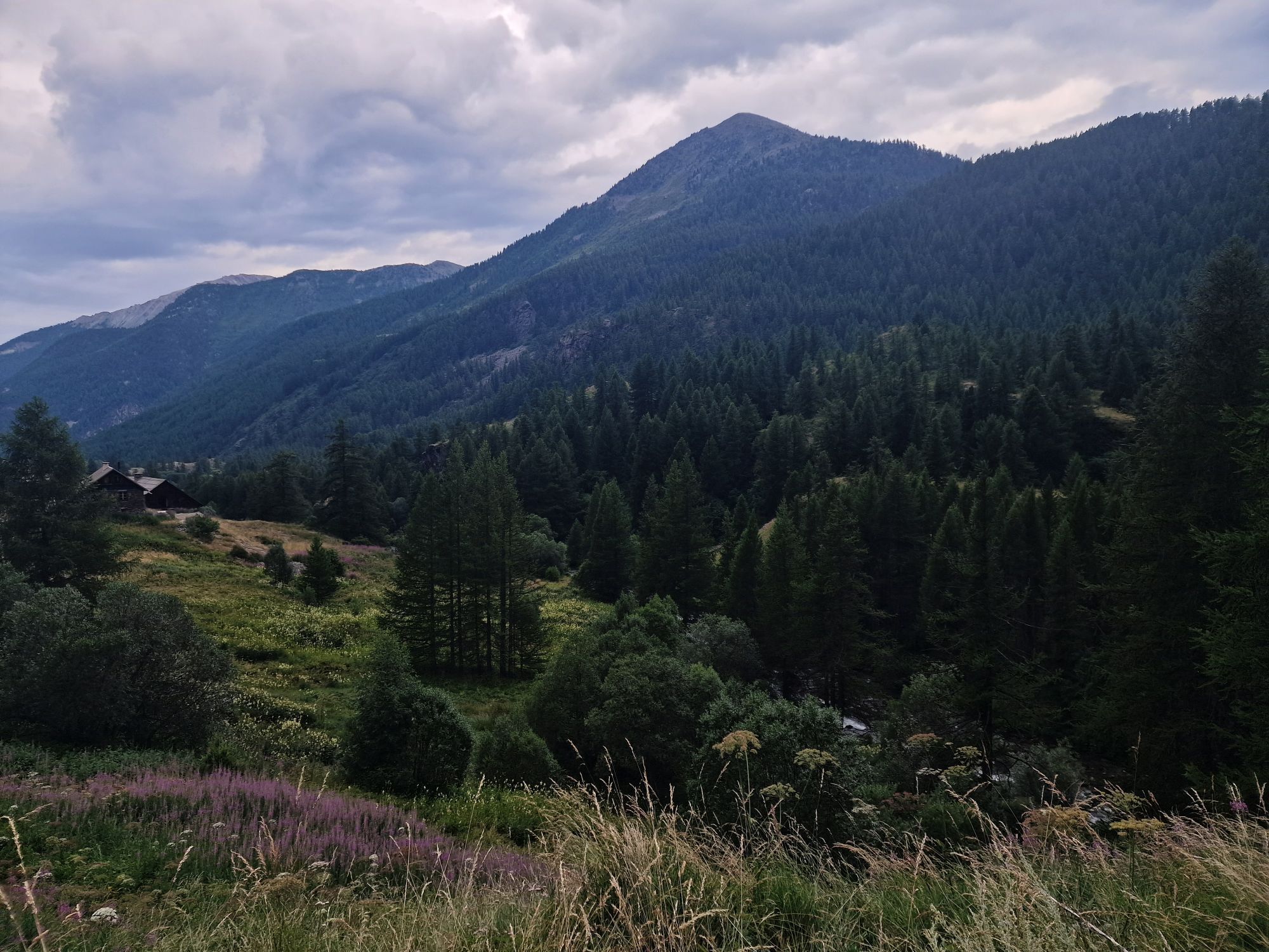
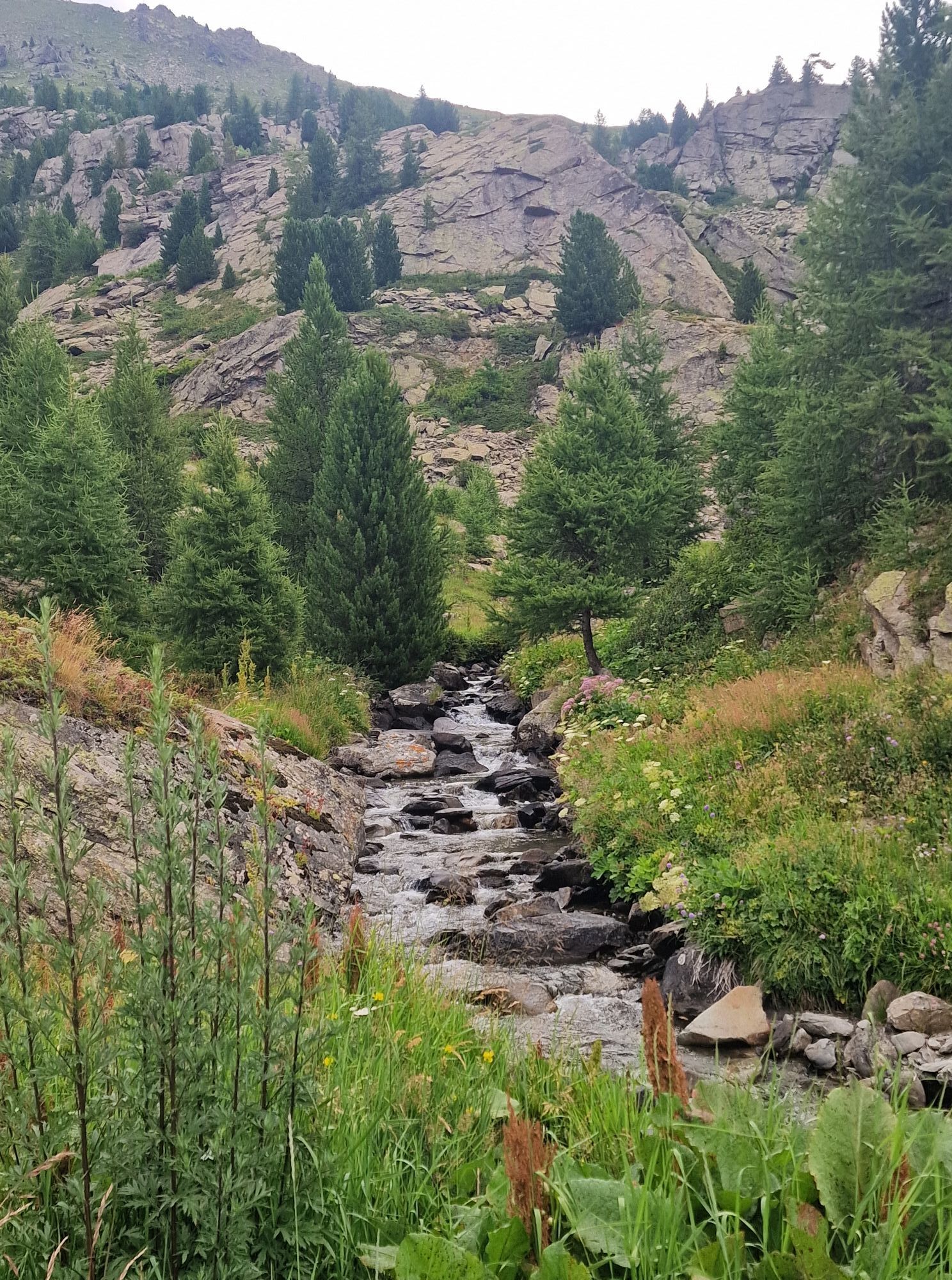
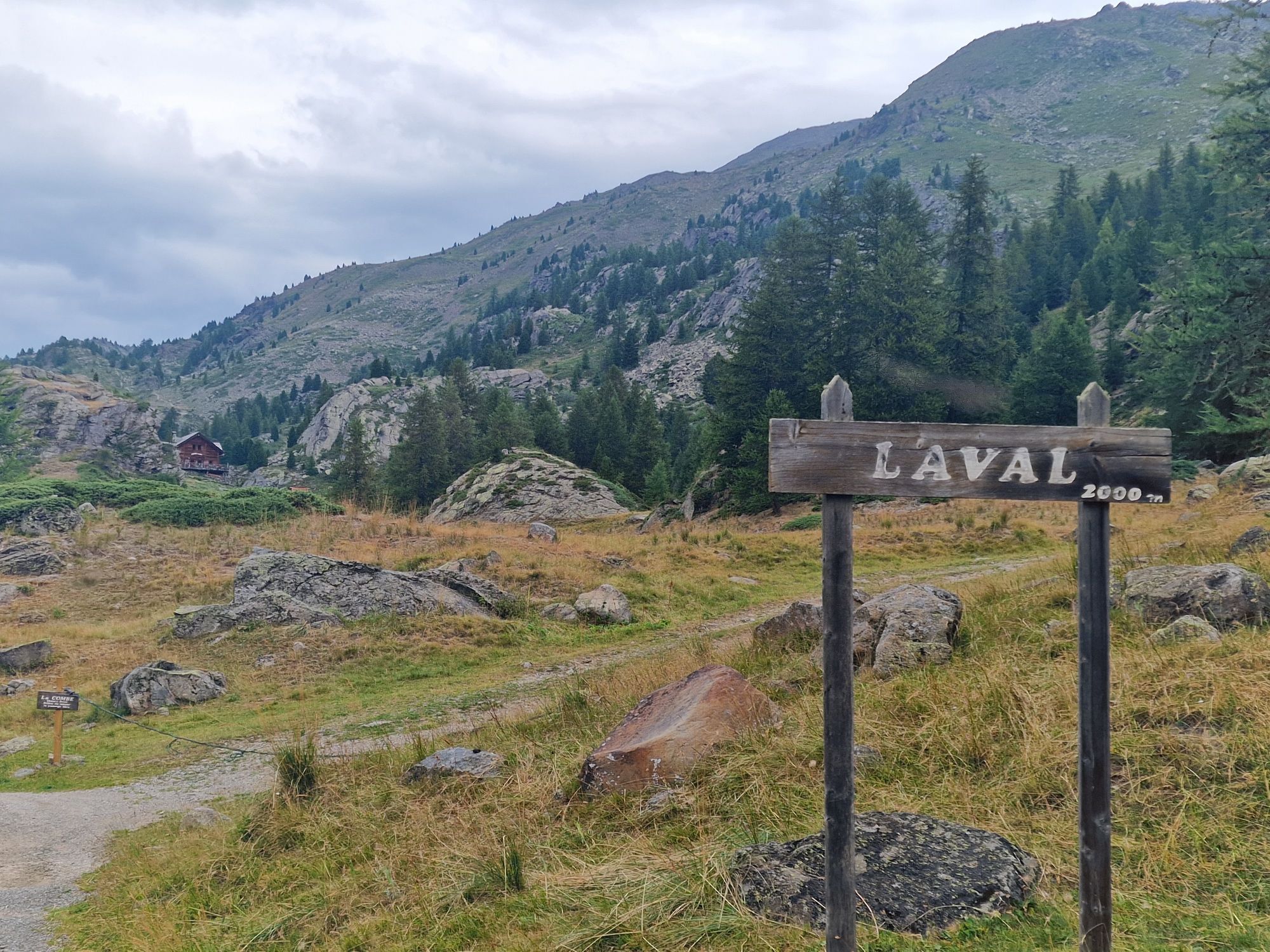
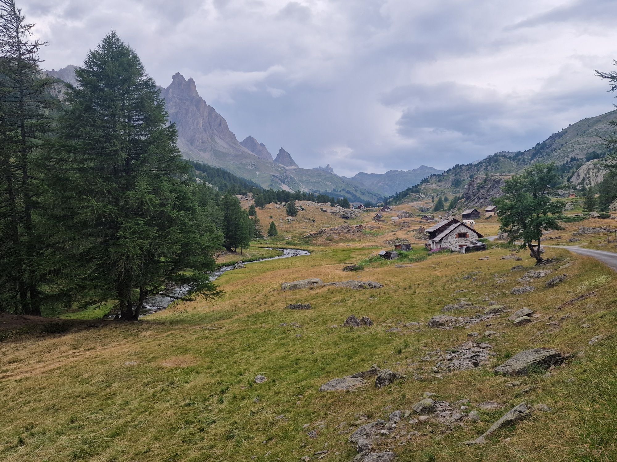
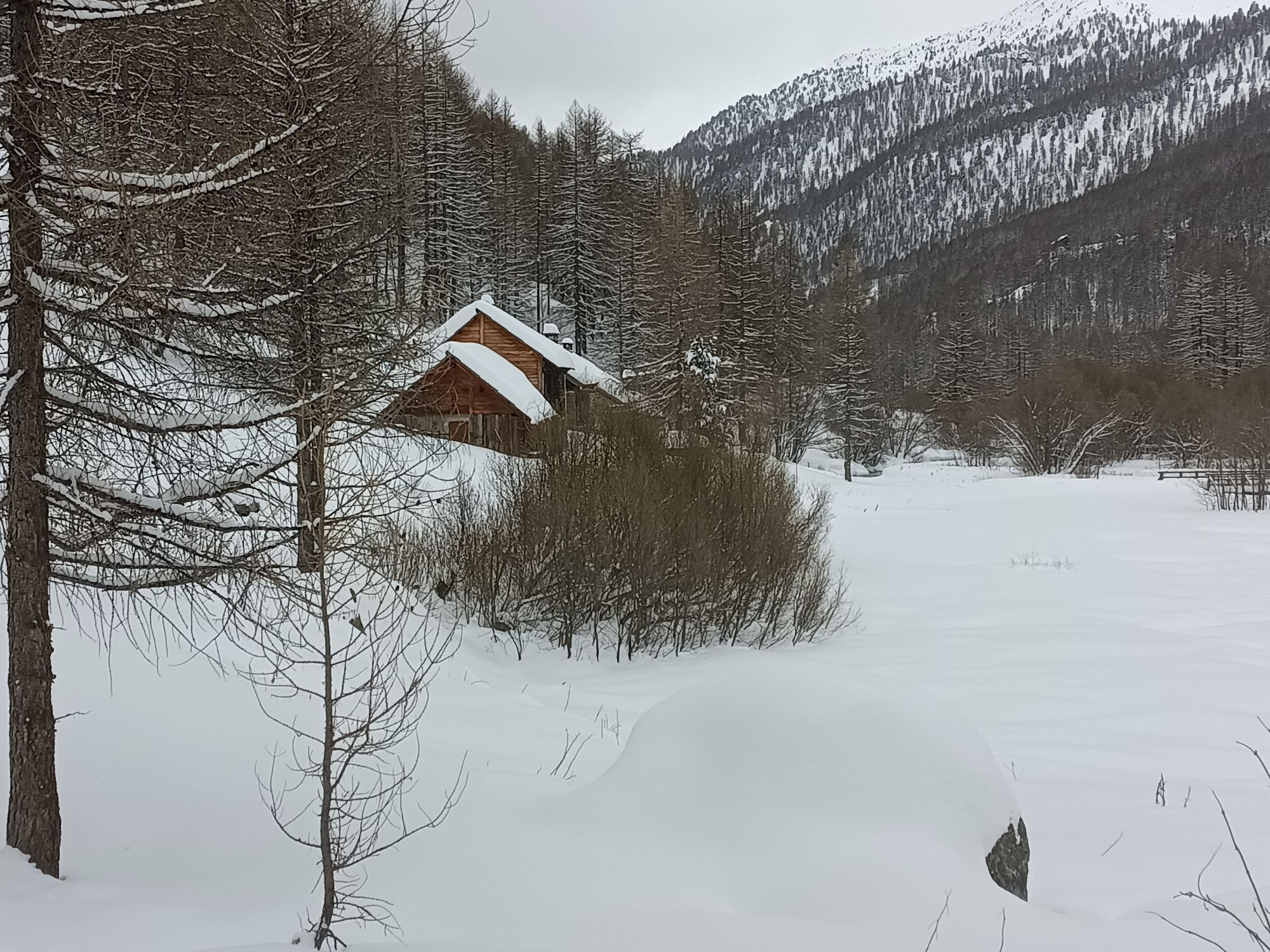
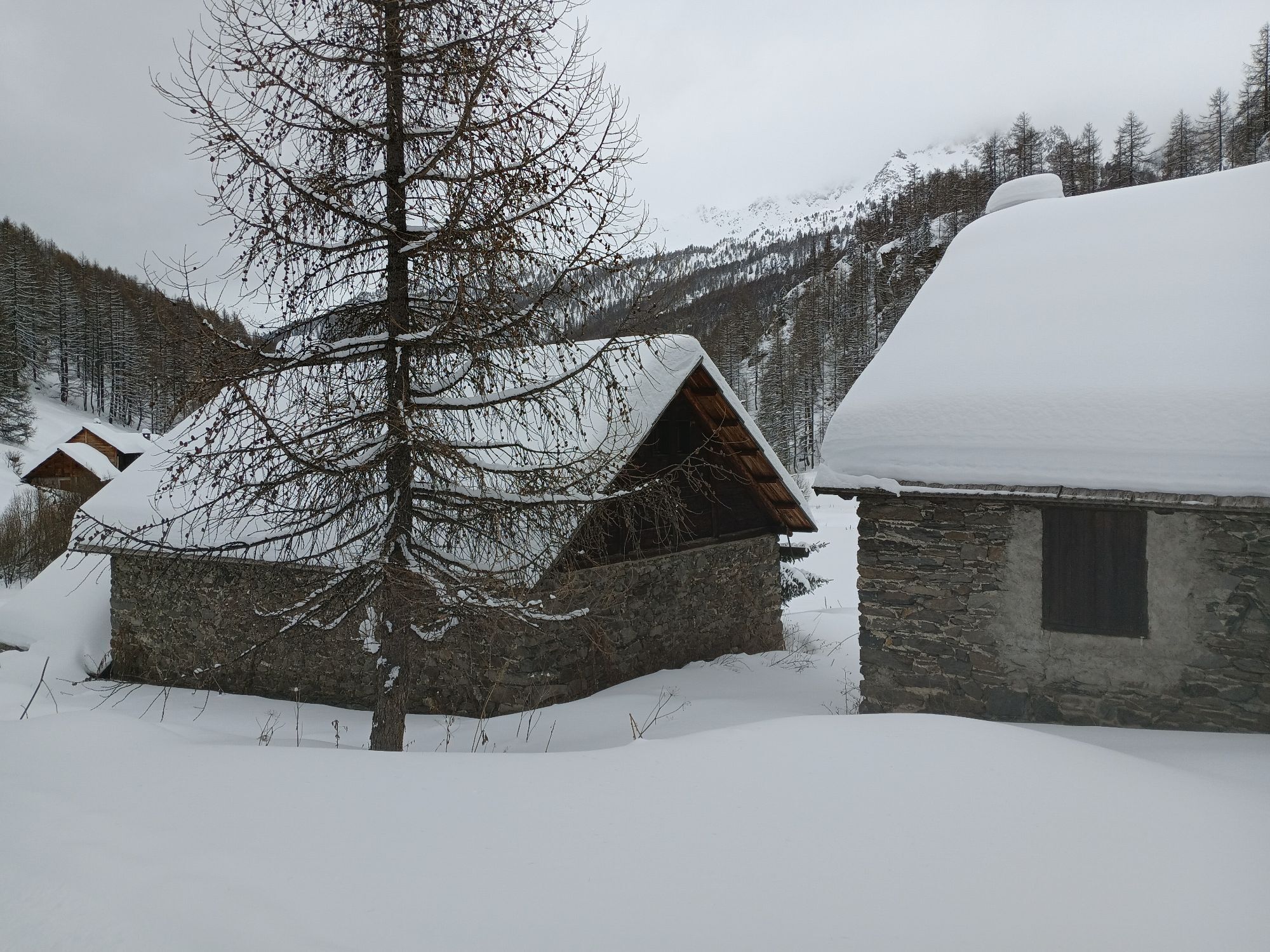
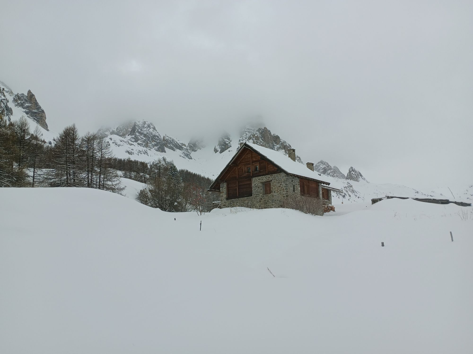
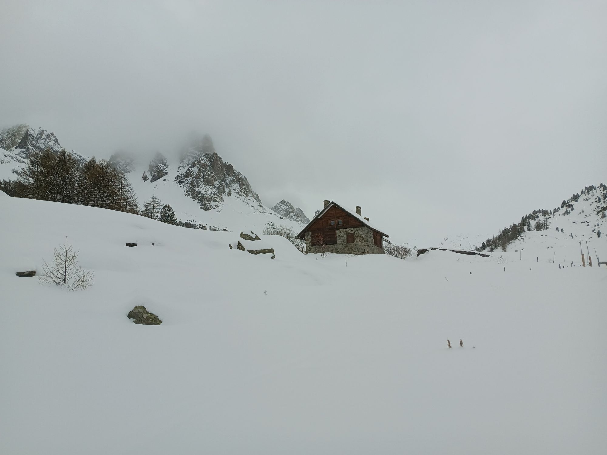
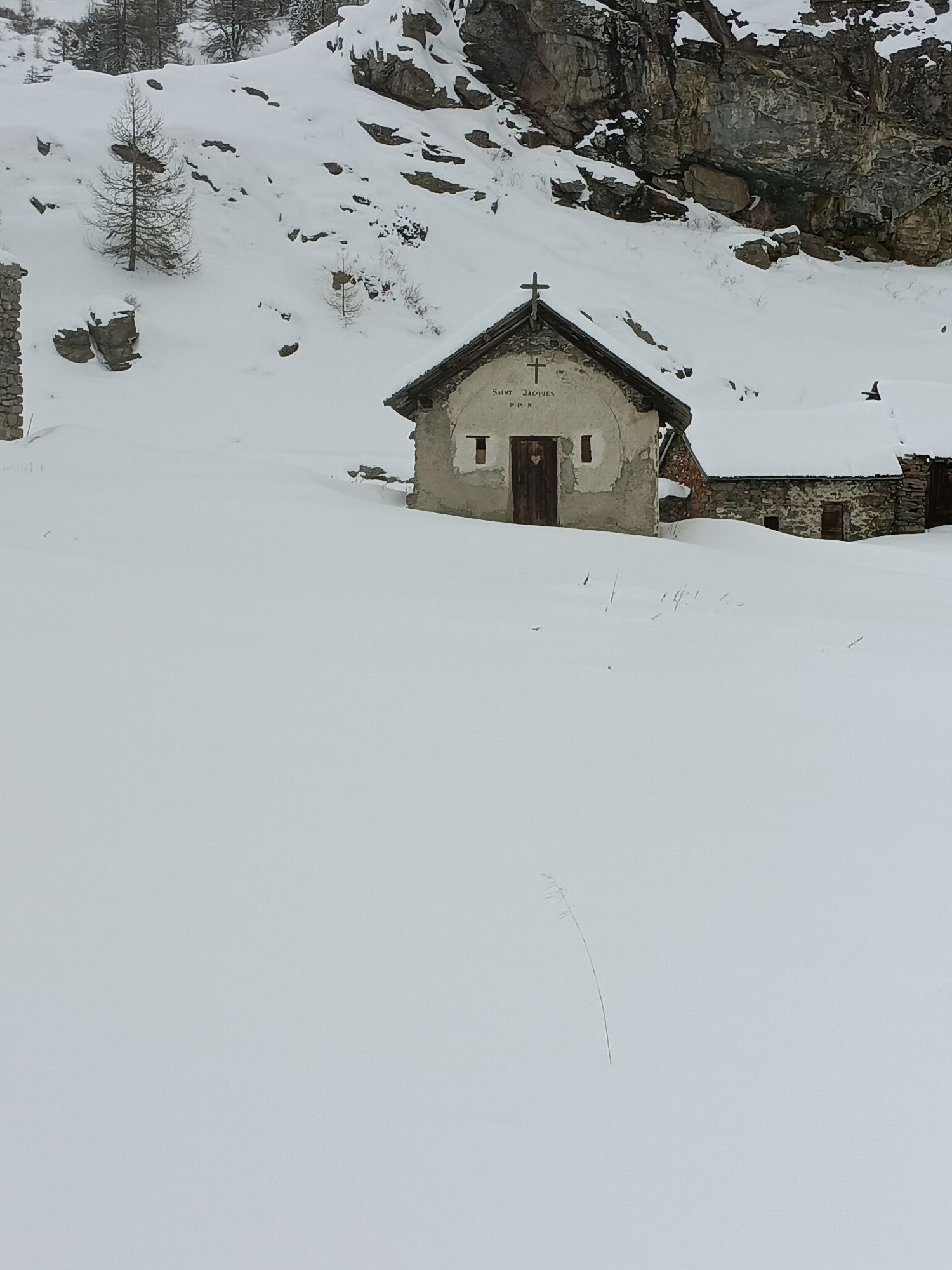
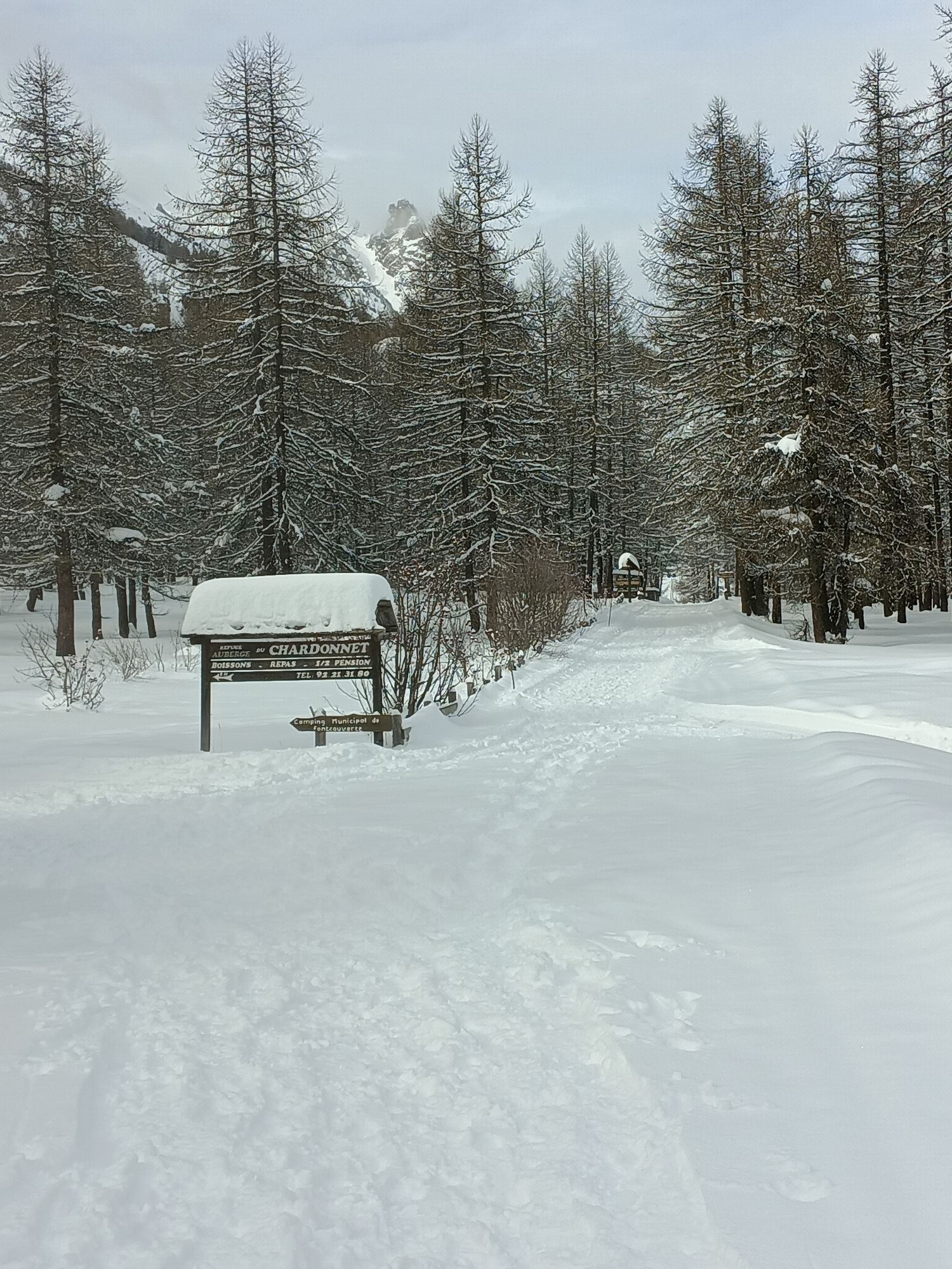
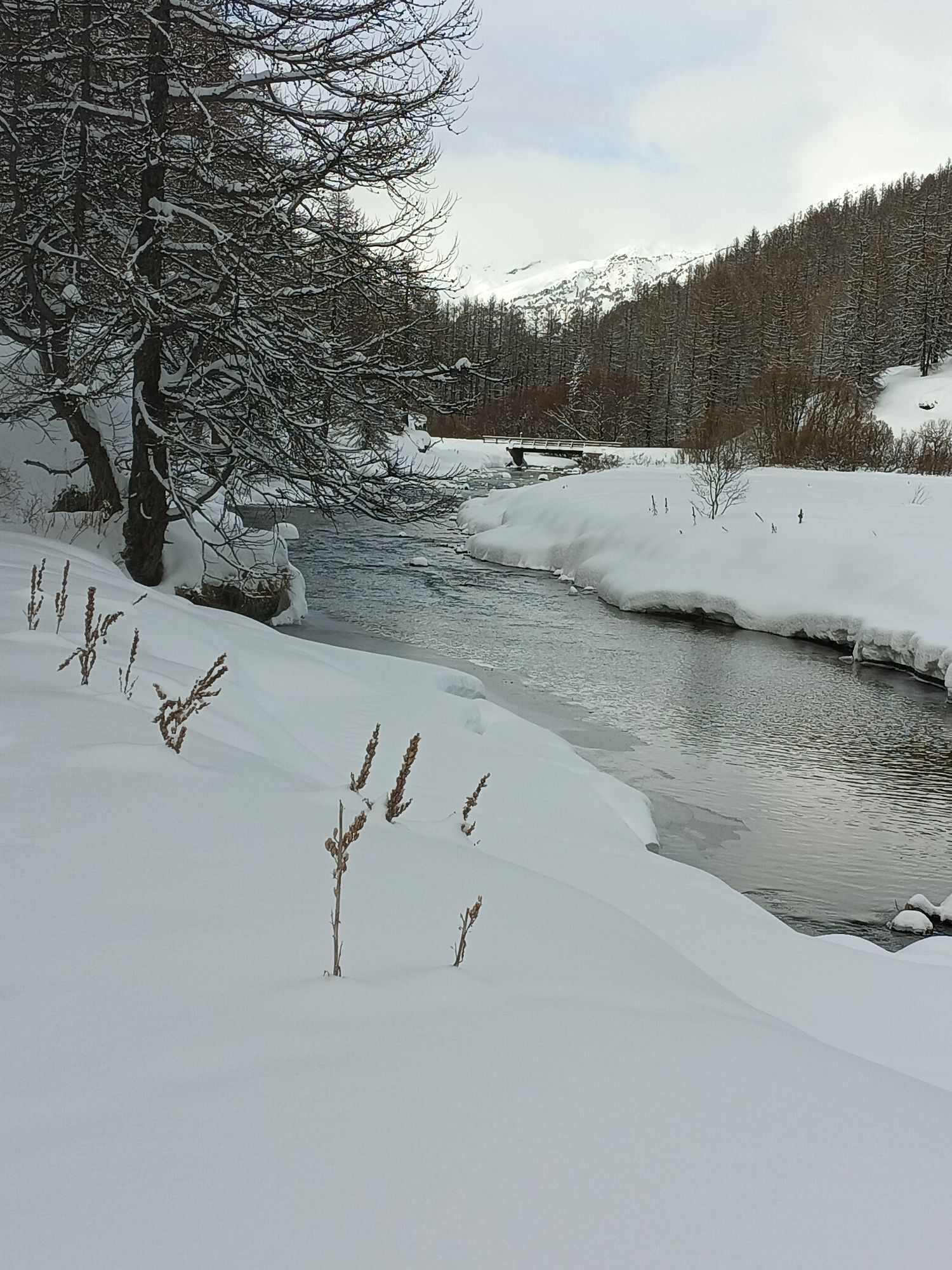
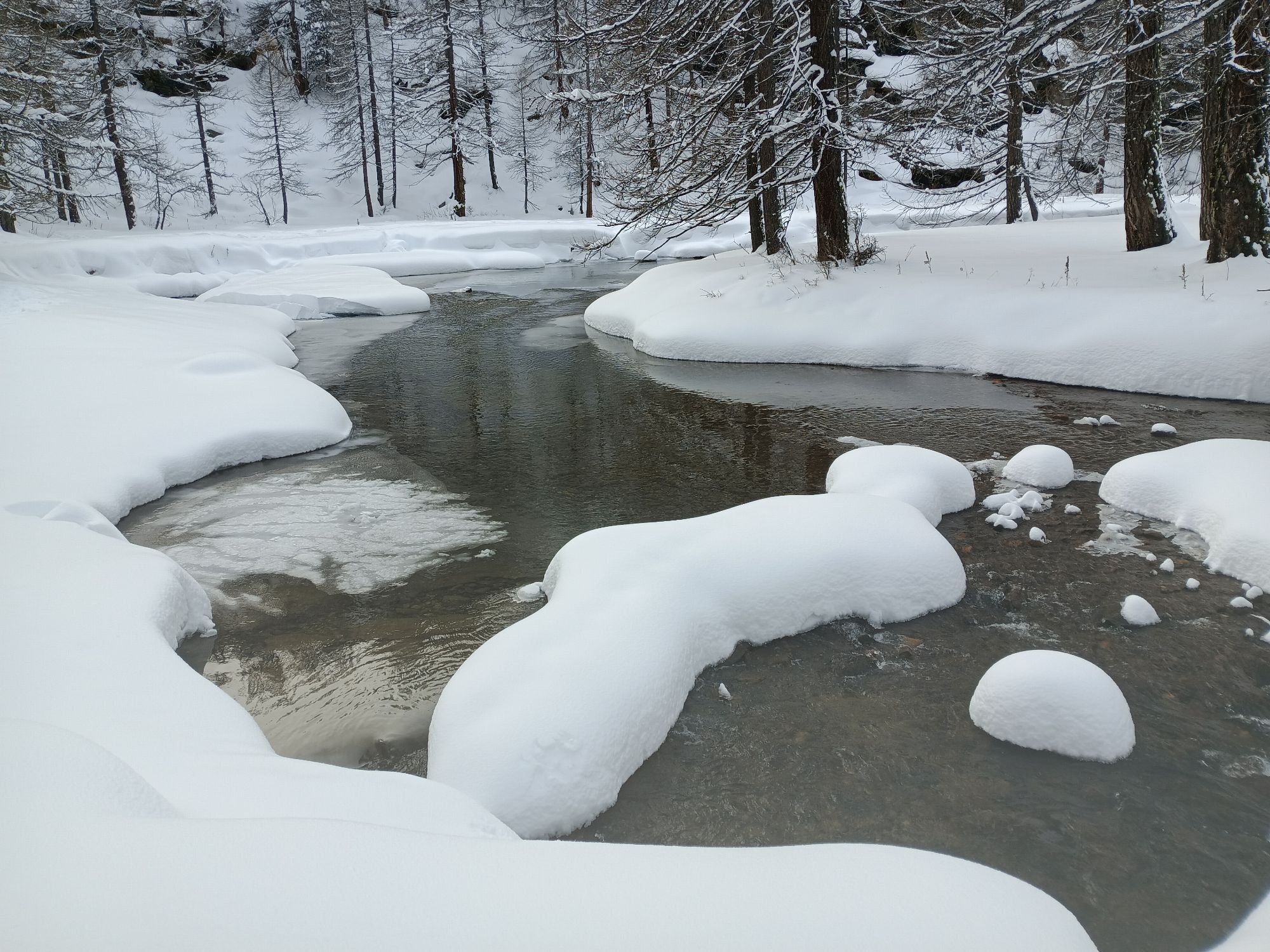
The itinerary begins with a gradual climb towards Pian del Colle, then steepens with a harsher gradient along hairpin bends carved into the sheer rock, leading to Colle della Scala, from which you can enjoy a splendid view of Bardonecchia. The route continues downhill on the French side, then enters the picturesque Vallée de la Clarée. Along the way, several small clusters of scattered houses are encountered and, in some parts, the road runs alongside the river creating a bucolic environment before reaching first Fontcouverte and then Laval
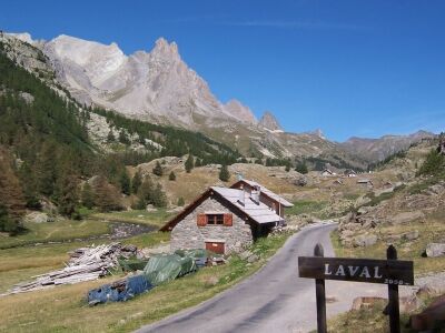
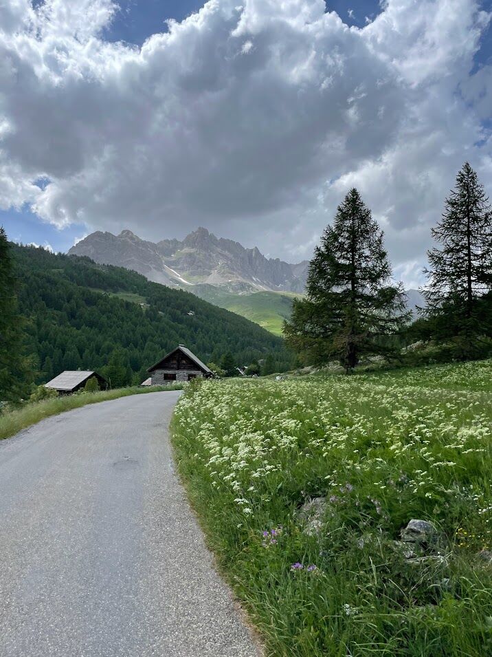
From Campo Smith head towards the hamlet Les Arnauds and the district Melezet, then continue towards Pian del Colle, where the true ascent to Colle della Scala begins. Pass by the Seven Fountains Dam and continue until the junction with the road leading to Valle Stretta. Keep left following the signs for Colle della Scala (Col de l'Échelle). Once you reach the pass, descend until you meet road D994G, where you must turn right towards Nevache. Before entering the village keep right and take the road that goes into the Vallée de la Clarée. Initially, the climb develops along some hairpin bends until reaching a cross located a short distance from the road. From there on, the route continues to rise but more gently and passes several groups of scattered huts until reaching Fontcouverte and then Laval, beyond which it is no longer possible to continue as the asphalt ends. The return is on the same route as the outward journey.
Da
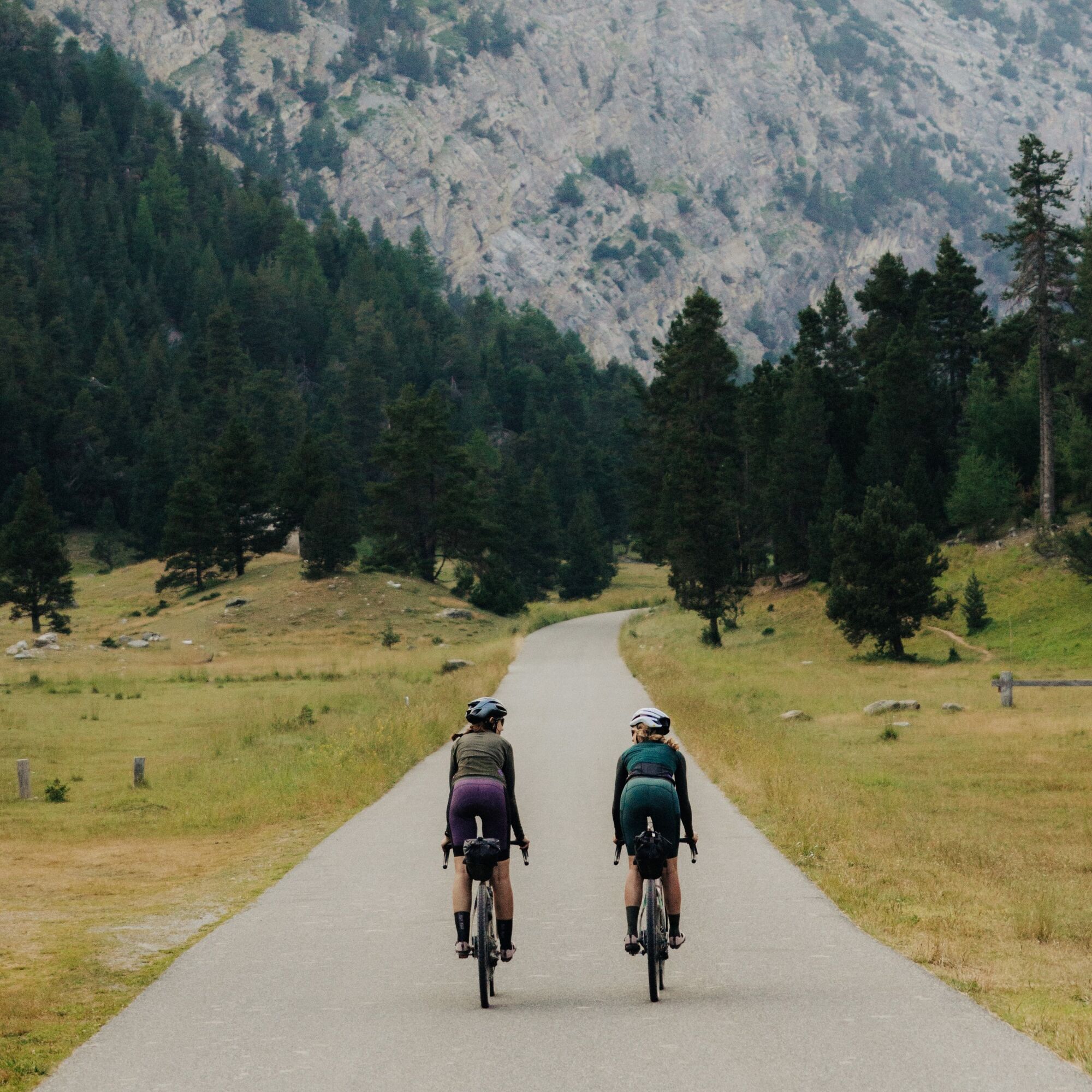
Road bike
Gravel
The road to Colle della Scala is subject to rockfalls especially in bad weather, so you may find stones or gravel on the road surface
By car:
- A32 Motorway Torino - Bardonecchia, Bardonecchia exit
- State Road 24: Torino - Oulx and then State Road 335: Oulx - Bardonecchia
Once Bardonecchia is reached, head towards Campo Smith
By train:
- line Torino Porta Nuova - Bardonecchia
From the Bardonecchia train station head towards Campo Smith
Campo Smith parking areas
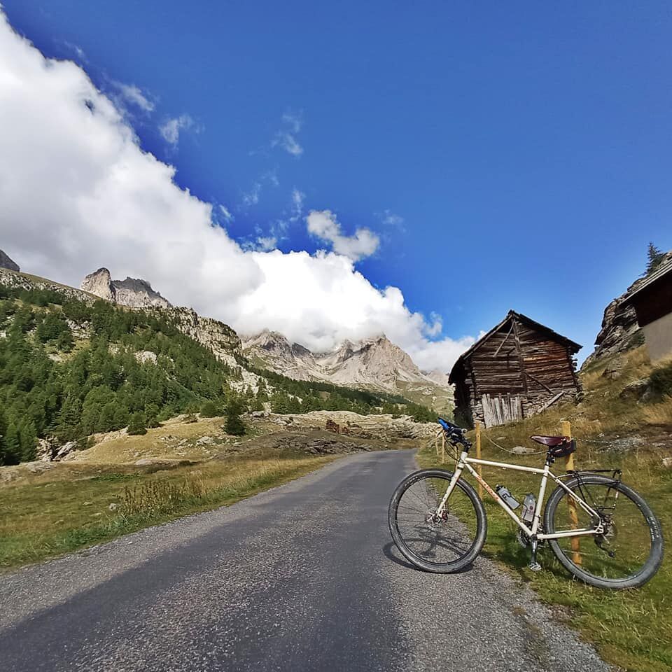
3
Enjoy the view from the last hairpin bend of the climb towards Colle della Scala
Priljubljeni izleti v okolici
- 4,5
BARDONECCHIA Pian del Colle - Valle Stretta
srednjaSnežni čevlji 5,02 km - 5,0
BARDONECCHIA Forte Jafferau Loop
težkoMountainbike 36,8 km - 5,0
BARDONECCHIA Green Lake
svetlobaPohodništvo 2,14 km - 5,0
BARDONECCHIA Decauville
srednjaPohodništvo 7,29 km - 5,0
BARDONECCHIA Col des Acles - Passo della Mulattiera
srednjaPohodništvo 6,23 km BARDONECCHIA Lago Verde
svetlobaMountainbike 10,7 kmBARDONECCHIA Monte Jafferau
težkoPohodništvo 11,6 kmGR® 57 Tour de la Haute-Clarée
srednjaPohodništvo 87,3 kmBARDONECCHIA - Loop Colle della Scala - Col de Montgenèvre - Colle del Sestriere
težkoCestno kolo 91,9 km- 4,0
BARDONECCHIA Sentiero dei Cosetti by Luciano Ferraris
svetlobaPohodništvo 3,24 km

Pohodništvo in sledenje


Ne zamudite ponudb in navdiha za naslednje počitnice
Vaš e-poštni naslov je bil dodan na poštni seznam.