Navigacija po spletni strani
Pridobite to turo v svoj mobilni telefon
Zemljevid
San Carlo Path | Stage 2 Ameno-Pella

srednja
Romarska pot
18.65 km
Skenirajte kodo QR in začnite navigacijo v aplikaciji bergfex.
QR Code
Pohodništvo in sledenje

San Carlo Path | Stage 2 Ameno-Pella

Razdalja
18.6 km
Trajanje
05:05 h
Ascent
225 hm
Morska gladina
288 - 539 m

Stopnja težavnosti: T1

Prenos skladbe
Zemljevid
San Carlo Path | Stage 2 Ameno-Pella
srednja
Romarska pot
18.65 km

After crossing the bridge that connects Ameno to its hamlets beyond the Agogna river, the route continues to the small valley of the Membra stream: it follows the right bank of the Agogna until it reaches...

Opis
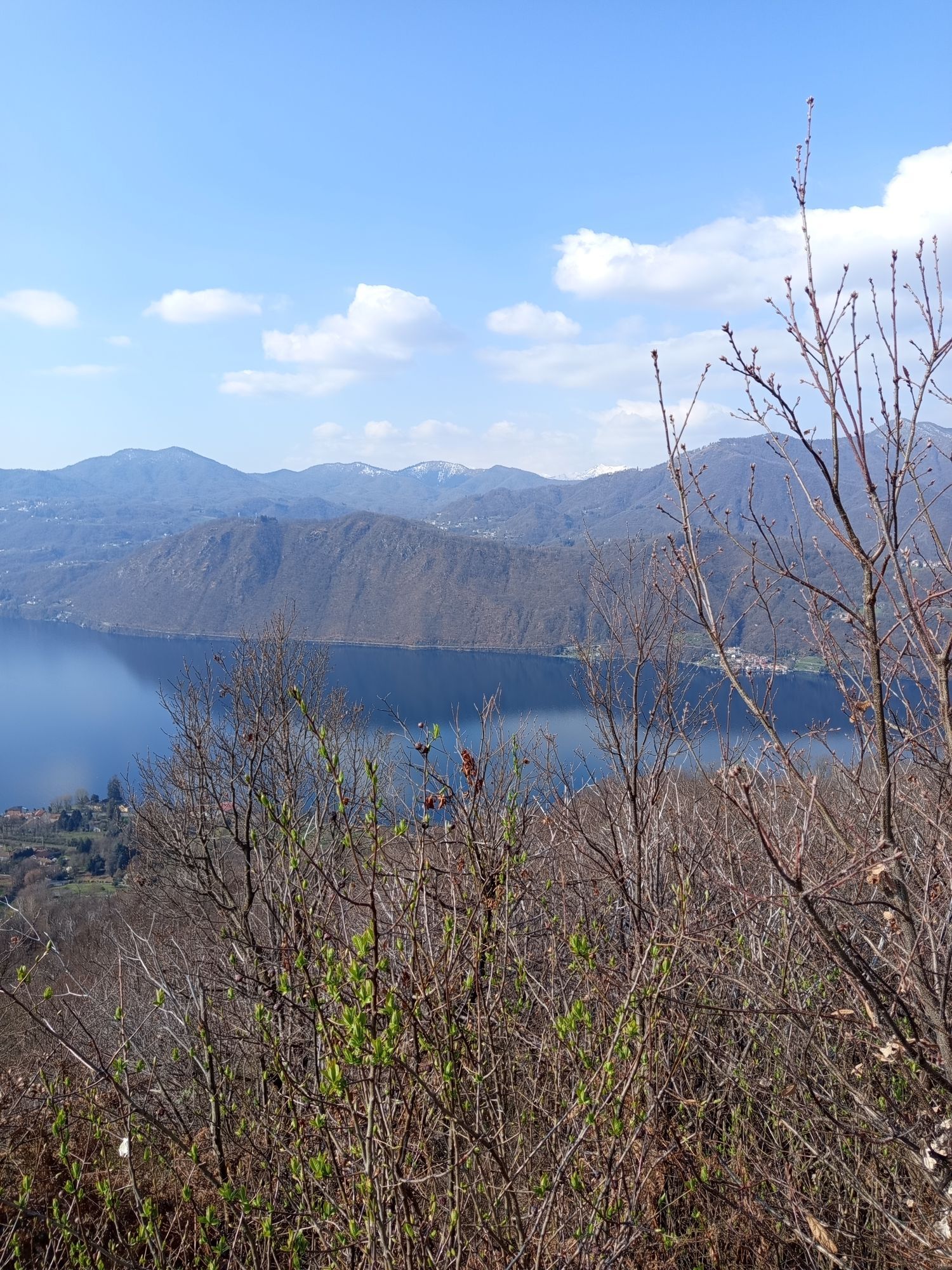
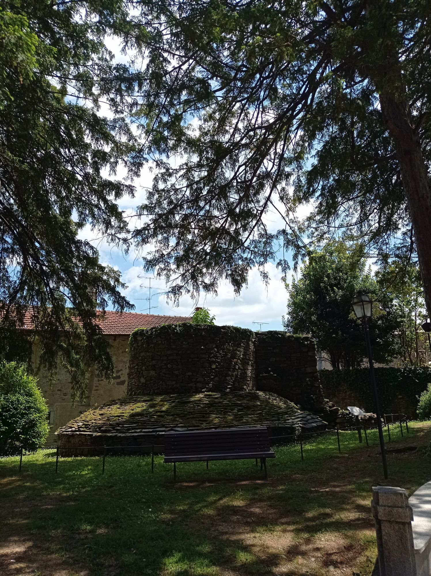
After crossing the bridge that connects Ameno to its hamlets beyond the Agogna river, the route continues to the small valley of the Membra stream: it follows the right bank of the Agogna until it reaches the Monte Mesma Special Nature Reserve, where the path becomes wilder, in close contact with the vegetation. Upon joining the provincial road from Bolzano Novarese, the route continues along the devotional path that climbs to the summit of the hill, marked by several chapels: after a series of turns, the top of Monte Mesma is reached, where one finds the 17th-century convent and church, governed by Franciscan friars.

From Monte Mesma, the route descends along the Via Crucis, leading to the provincial road of Bolzano Novarese and Miasino: after a short section of this road, the path to Lortallo, a hamlet of Ameno, is taken, continuing to the road between Gozzano and Miasino. The route then follows the “Prisciola pedestrian road” to reach Legro, a hamlet of Orta, which has become one of the "painted villages of Italy" due to its picturesque frescoed houses.

Leaving behind the charming village, the route continues to Orta, along a pedestrian path that passes under the railway. Once in the picturesque town of Orta, the route heads to the Sacro Monte dedicated to the life of St. Francis of Assisi. The descent follows a beautiful cobbled road to Piazza Motta, from where a boat can be taken first to the island of San Giulio, home to the Benedictine Abbey Mater Ecclesiae, and finally to the western shore of Lake Orta, to the village of Pella, the final stop of this stage.

Pot
Oratorio di San Giovanni Battista
(537 m)
Kraj čaščenja
0.0 km
Sacro Monte di Orta
(386 m)
Vrh
3.3 km
Chiesa di San Quirico
(350 m)
Kraj čaščenja
3.5 km
Chiesa di Santo Stefano
(367 m)
Kraj čaščenja
7.6 km
Chiesa di San Rocco
(302 m)
Kraj čaščenja
15.9 km
Chiesa di San Filiberto
(298 m)
Kraj čaščenja
17.3 km
Prorio
(293 m)
Poravnava
17.6 km
Pot
Zemljevid
San Carlo Path | Stage 2 Ameno-Pella
srednja
Romarska pot
18.65 km
Ameno
(534 m)
Vas
0.0 km
Oratorio di San Giovanni Battista
(537 m)
Kraj čaščenja
0.0 km
Vacciago
(424 m)
Vas
1.0 km
Chiesa di Sant'Anna
(482 m)
Kraj čaščenja
1.2 km
Vacciaghetto
(469 m)
Vas
1.2 km
Oratorio di Santa Caterina
(368 m)
Kraj čaščenja
1.8 km
Legro
(363 m)
Poravnava
2.0 km
Chapel XVII - Agony and death of Saint Francis
(371 m)
Kraj čaščenja
3.2 km
Sacro Monte di Orta
(386 m)
Vrh
3.3 km
Chiesa dei Santi Francesco e Nicolao
(383 m)
Kraj čaščenja
3.4 km
Chiesa di San Quirico
(350 m)
Kraj čaščenja
3.5 km
Chiesa dell'Assunta
(320 m)
Kraj čaščenja
3.9 km
Orta San Giulio
(310 m)
Vas
4.0 km
Orta piazza
(290 m)
Pristanišče za trajekte
4.1 km
Oratorio della Santissima Trinità
(300 m)
Kraj čaščenja
4.3 km
Vacciaghetto
(469 m)
Vas
6.3 km
Vacciago
(424 m)
Vas
6.9 km
Chiesa di Santo Stefano
(367 m)
Kraj čaščenja
7.6 km
Corconio
(368 m)
Poravnava
7.7 km
Borghetto
(430 m)
Vas
8.9 km
Buccione
(292 m)
Poravnava
11.2 km
Pascolo
(297 m)
Poravnava
13.2 km
Da Venanzio
(295 m)
Restavracija
14.1 km
Chiesa di San Rocco
(302 m)
Kraj čaščenja
15.9 km
Lagna
(301 m)
Poravnava
16.0 km
Osteria di San Giulio
(297 m)
Restavracija
16.0 km
Roncallo al Lago
(293 m)
Poravnava
16.8 km
Chiesa di San Filiberto
(298 m)
Kraj čaščenja
17.3 km
San Filiberto
(290 m)
Pristanišče za trajekte
17.4 km
Prorio
(293 m)
Poravnava
17.6 km
Pella
(292 m)
Vas
18.3 km
Pella
(290 m)
Pristanišče za trajekte
18.6 km
Informacije o turneji

The route follows the southern shores of the lake, but it is also possible to reach Pella by boat.

Tehnologija
1 / 6
Stanje
4 / 6
Pokrajina
6 / 6
Izkušnje
5 / 6
Dostopno vse leto
Jan
Feb
Mar
Apr
Maj
Jun
Jul
Avg
Sep
Okt
Nov
Dec
Skupna turneja
Zemljevid
San Carlo Path | Stage 2 Ameno-Pella
srednja
Romarska pot
18.65 km
Napaka
Zgodila se je napaka. Prosimo, poskusite znova.
Dodatne informacije in nasveti
Stopnja težavnosti

T1

Nasveti

Points of interest: Sacro Monte of Orta, village of Orta San Giulio, Island of San Giulio, village of Pella, Church of St. Filibert.

Pohodništvo in sledenje

Pohodništvo in sledenje

Pohodništvo in sledenje
Zaradi več kot 550.000 predlogov izletov, podrobnih zemljevidov in intuitivnega načrtovanja poti je aplikacija obvezna oprema za vse ljubitelje narave.
bergfex