







Toce MTB route | Stage 1 Montecrestese-Premia

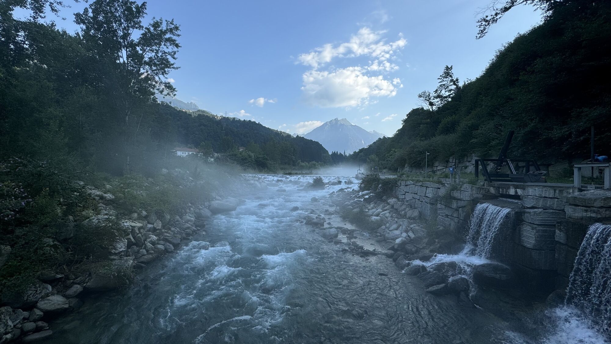
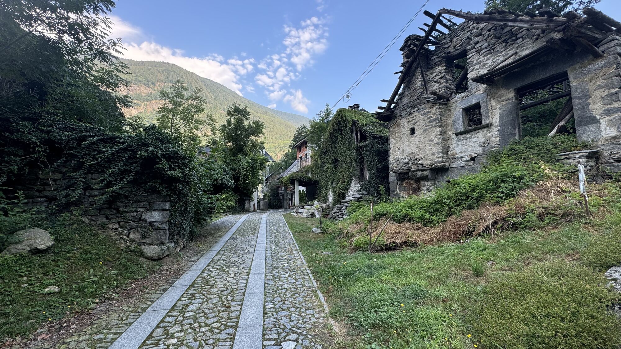
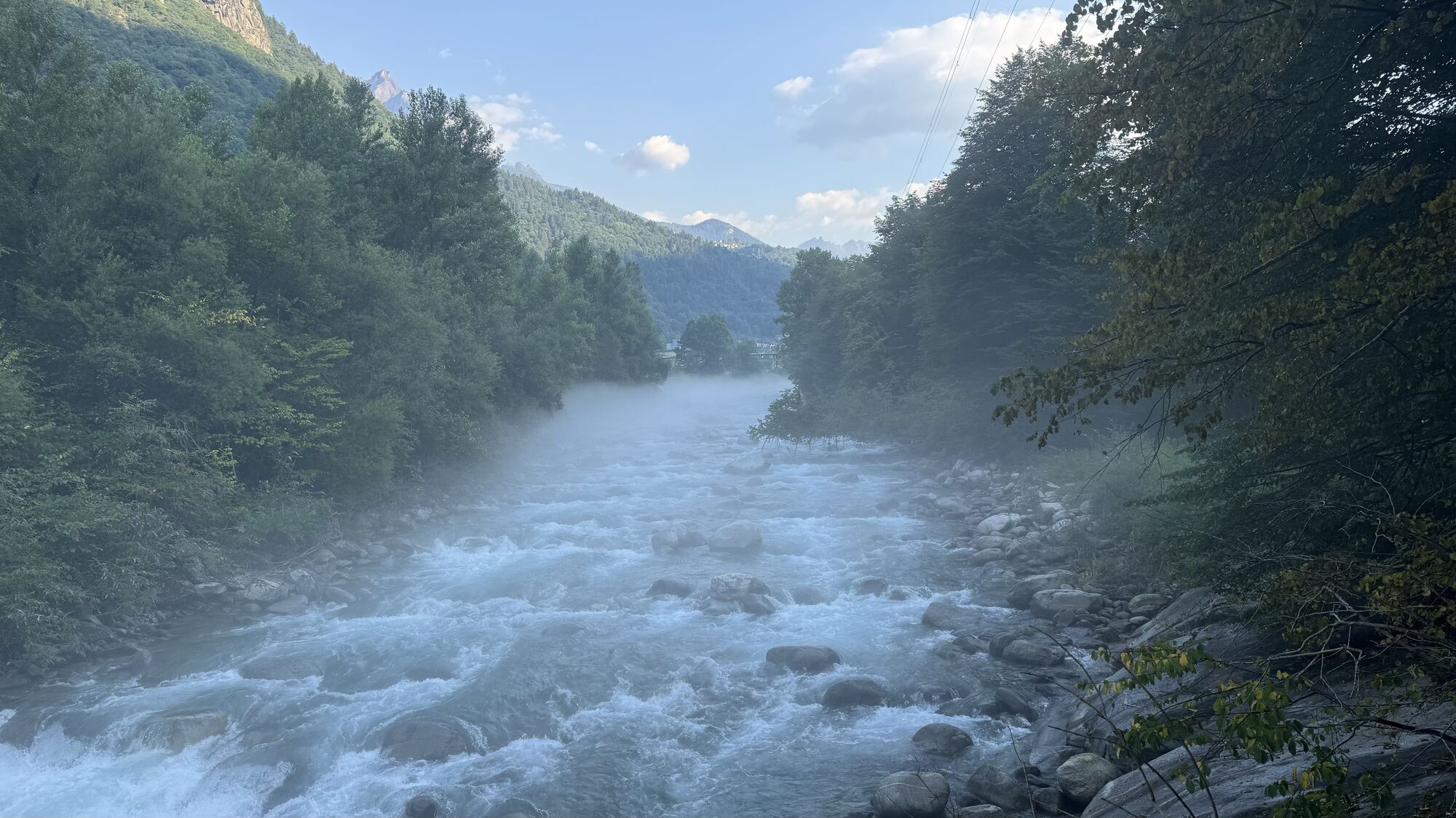
From the car park at the Crevoladossola-Montecrestese exit of the SS 33 (near Lake Tana), turn left following the Via del Gries arrows. Follow the nature trail of Lake Tana along the embankment until you...
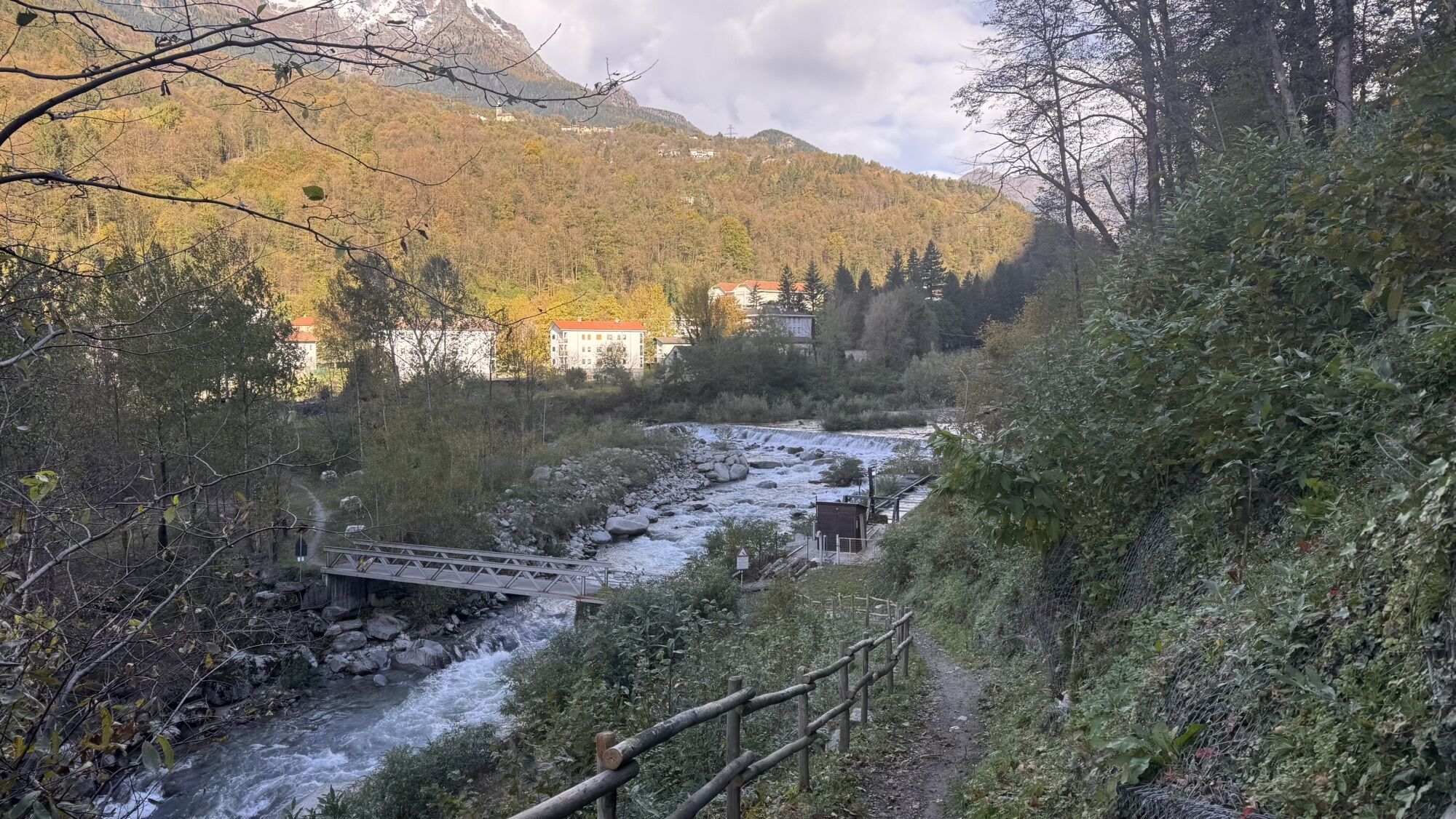
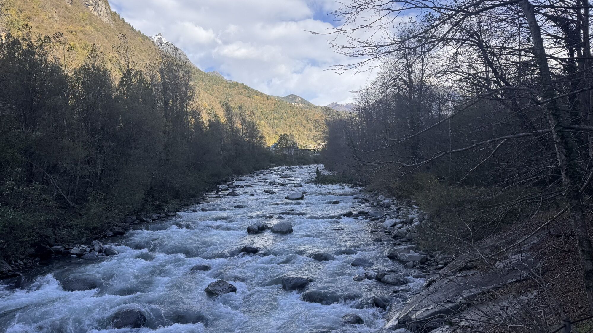
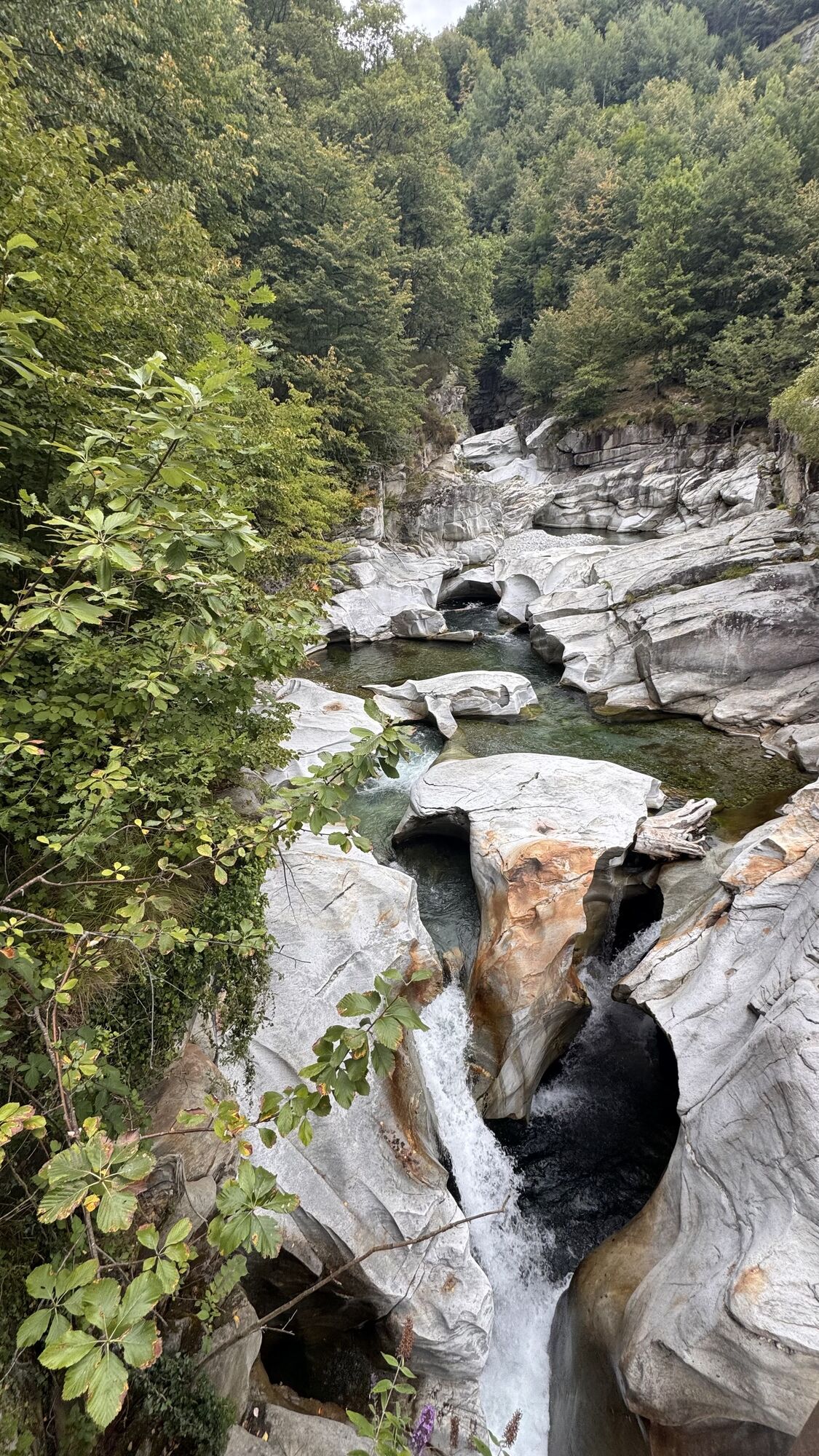
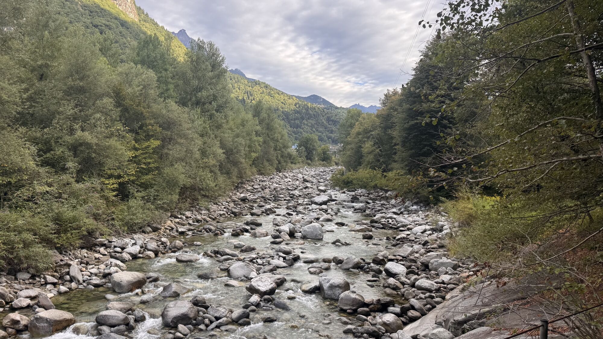
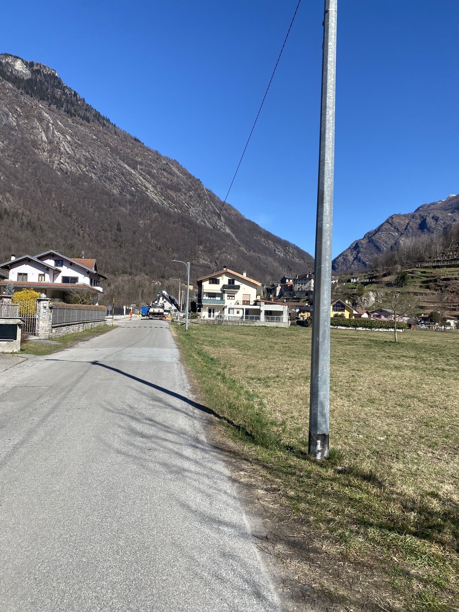
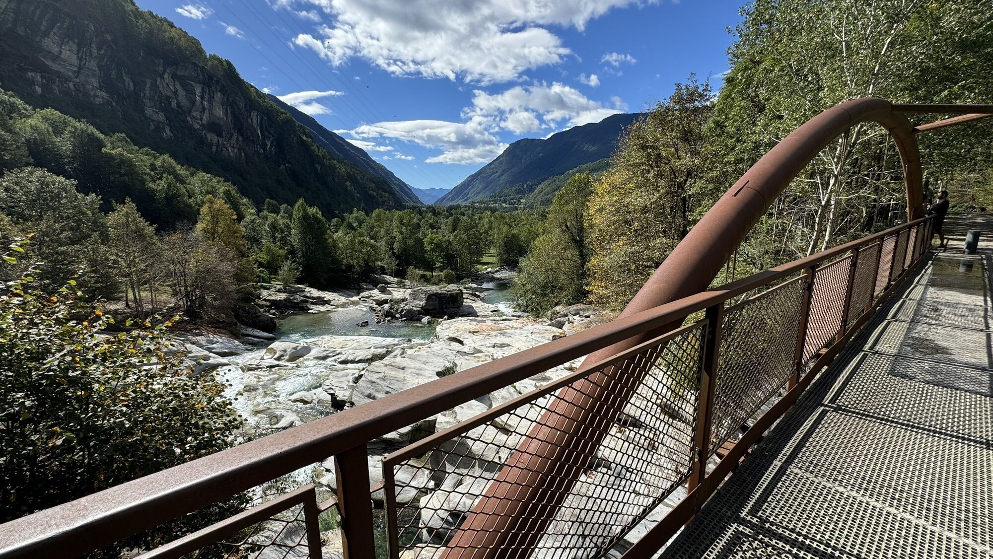
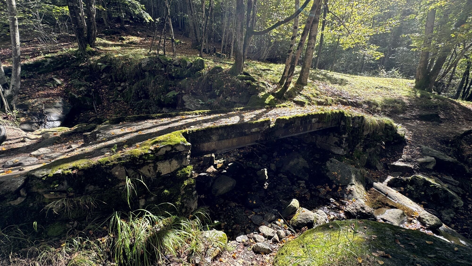
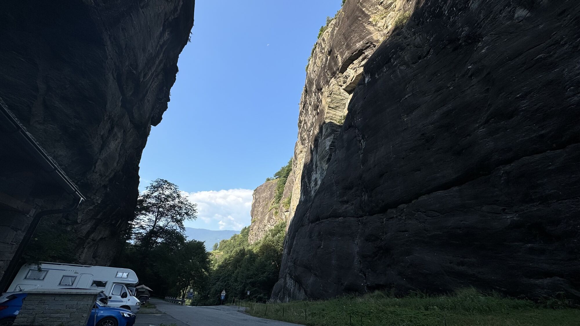
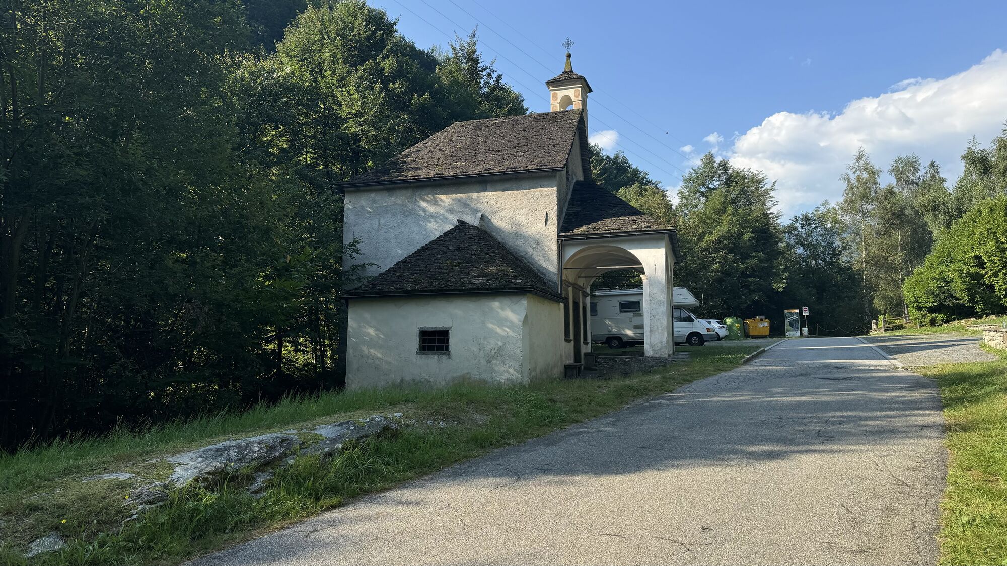
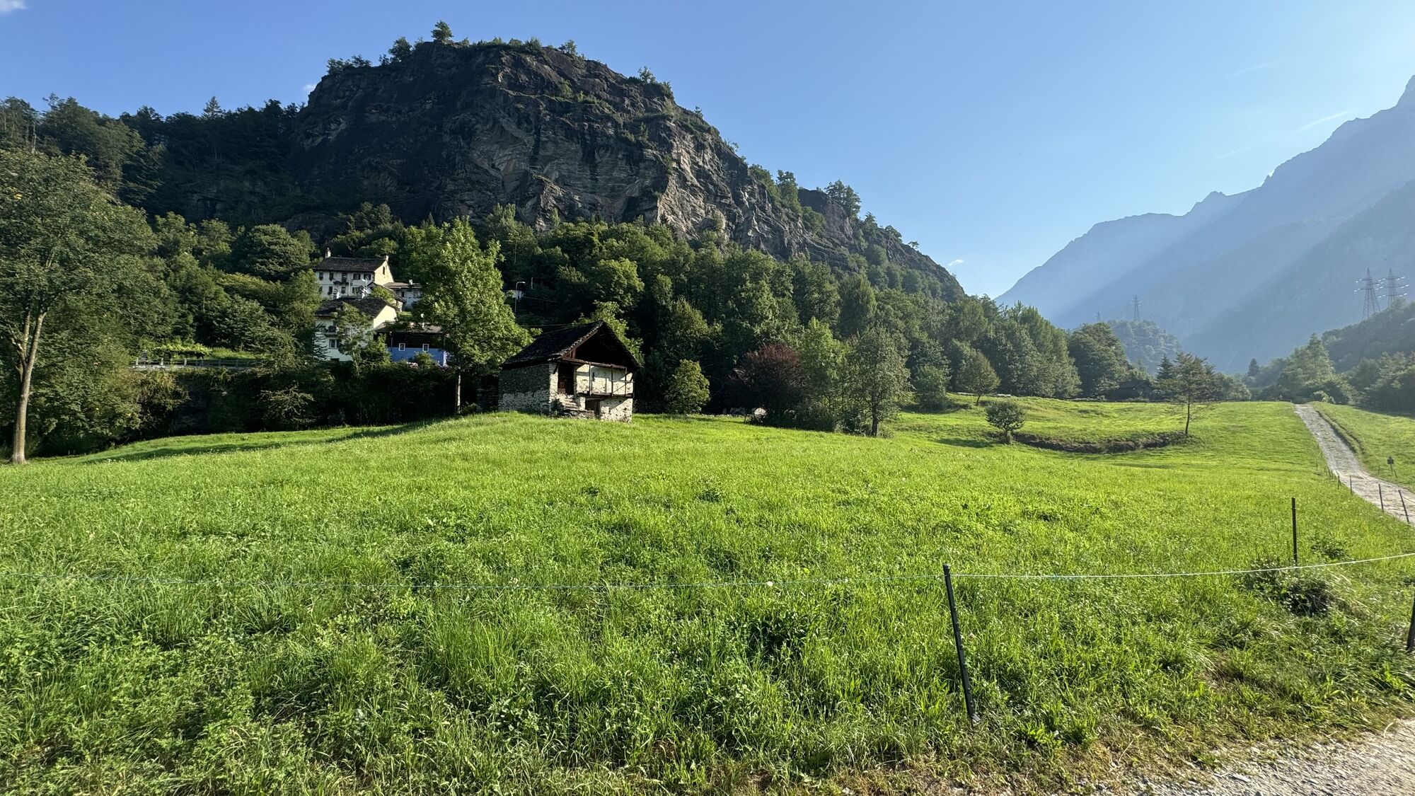
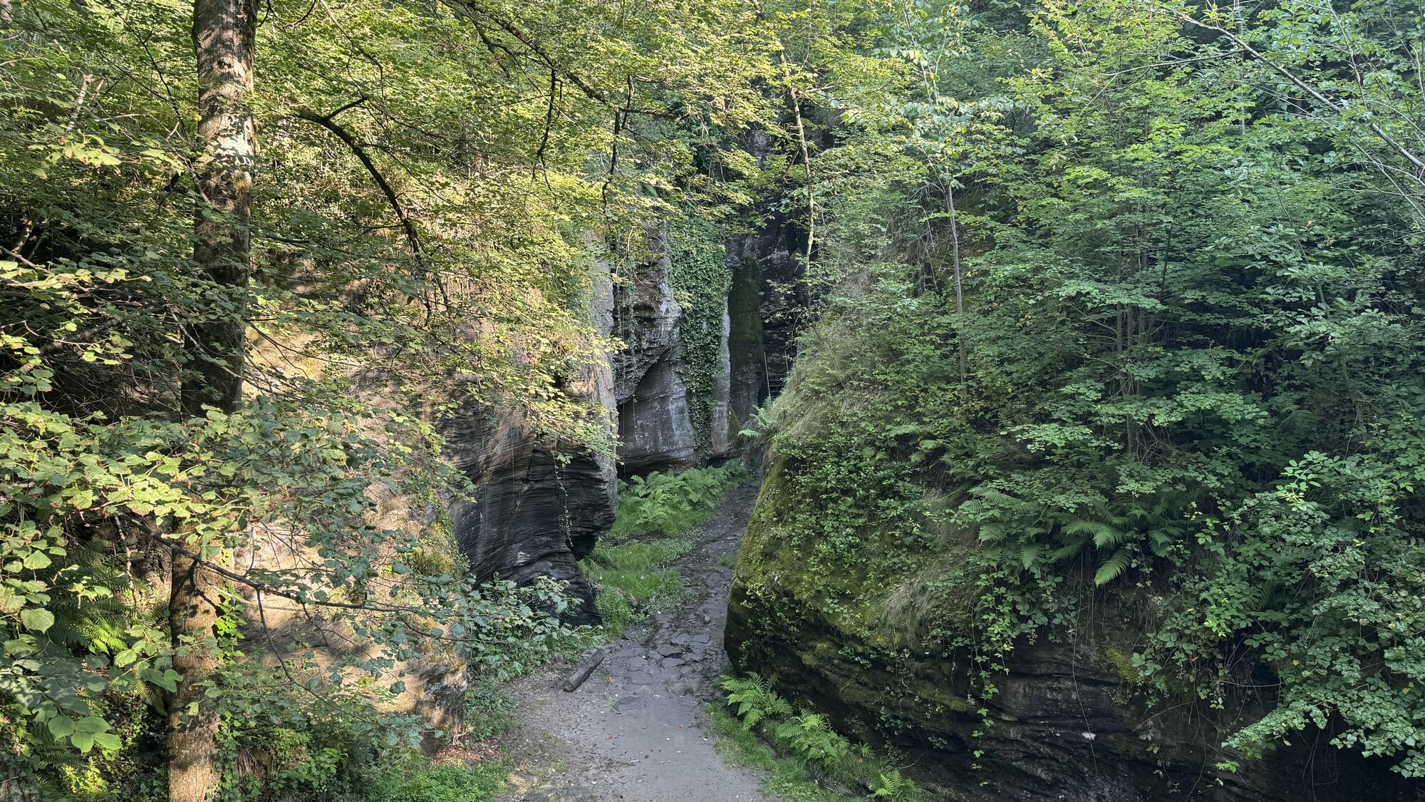
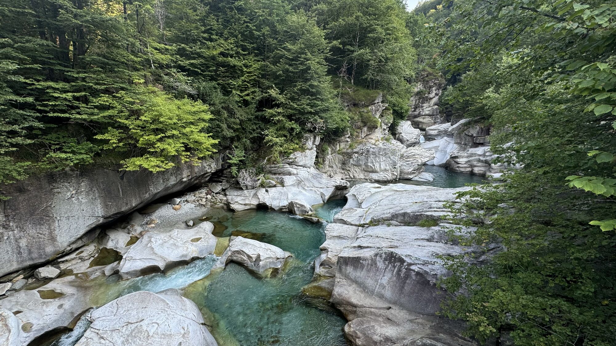
From the car park at the Crevoladossola-Montecrestese exit of the SS 33 (near Lake Tana), turn left following the Via del Gries arrows. Follow the nature trail of Lake Tana along the embankment until you arrive under the elevated highway, then turn slightly right and then take the flat asphalt road to Roledo on the left. Before going up to the houses of Roledo, a dirt road branches off to the left and passes under the viaducts of the highway up to the bridge over the Toce River which leads to the Canova di Oira hamlet.Following the signs for Arzalo – Pontemaglio you go back under the highway (short, very steep downhill section) and follow the path along the Toce River up to the characteristic stone bridge of Pontemaglio. Once you have crossed the asphalt road, continue up to the town Oratory and then turn left onto the asphalt road that descends towards the road bridge over the Toce River. Just before the bridge, turn right and follow the dirt track which, with some ups and downs, goes up the valley, remaining parallel to the river, becoming increasingly narrow until it turns into a wide path that runs alongside the Toce up to the Gianzana hamlet. From the hamlet continue on the asphalt road, always keeping to the hydrographic left, up to the hamlet of Alpiano Viceno. Following the Via del Gries signs, cross the hamlet and go down to cross the Toce river on an iron bridge. Immediately after the bridge, follow the path on the embankment that goes around the Terme di Crodo park and the Visitor Center of the Veglia Devero Park.At the end of the park, following the signs for Via del Gries, it is best to take the state road for a short stretch and then turn left going towards the center of Crodo. Alternatively, it is possible to continue along the embankment path which then enters a grove, crosses the Alfenza stream (ford) and continues through meadows until it crosses the asphalt road immediately before the road bridge over the Toce on the road to Maglioggio. From the center of Crodo, however, continue past the agricultural school and then go down to take the road to Maglioggio which you follow until the crossroads for Maglioggio. At the crossroads, turn left and continue, on level ground, following the pleasant asphalted road of the plain which, crossing beautiful meadows, arrives at the old ENEL power station in Verampio, where you cross the Toce River on the bridge and then reach the Trattoria della Countryside. From Verampio, following the signs for Orridi di Uriezzo, take the dirt track which first crosses the Devero torrent with a ford and then gradually climbs up. You first reach the Ponte di Maiesso with the beautiful giants' potholes carved into the rock and continue on the track (do not cross over the bridge) with wide bends until you reach the entrance to the Southern Ravine, a deep incision in the rock equipped for visits with metal ladders. After the visit to the ravine, continue along the track to the Oratory of Santa Lucia where the road becomes asphalted again. Follow the steep road up to Balmafredda, an imposing gorge carved into the rock equipped as a climbing site. At the crossroads for Crego, continue towards Premia until the road crosses the Val Formazza state road. The center of Premia remains on the left.

 Pridobite vpogled
Vedno v živo na mestu z več kot 9.500 spletnimi kamerami. bergfex Kot uporabnik Pro si lahko zdaj ogledate ustrezne spletne kamere za številne izlete v aplikaciji izleti iz. Tako si lahko neposredno ogledate trenutne razmere.
Pridobite vpogled
Vedno v živo na mestu z več kot 9.500 spletnimi kamerami. bergfex Kot uporabnik Pro si lahko zdaj ogledate ustrezne spletne kamere za številne izlete v aplikaciji izleti iz. Tako si lahko neposredno ogledate trenutne razmere.
Priljubljeni izleti v okolici
-
5.0
Cimalmotto-Lake Sfii-Cimalmotto
srednjaPohodništvo 12.6 km -
5.0
Cimalmotto-Alpe Magnello-Cimalmotto
srednjaPohodništvo 8.82 km -
5.0
Via Alta Vallemaggia - Stage 13: Cimalmotto-Capanna Ribia
težkoPohodništvo 12.3 km -
Cimalmotto-Passo Quadrella-Bosco Gurin
srednjaPohodništvo 8.04 km -
4.0
Stage 4: Alpine Hut Route Bognanco - Domodossola
težkoPohodništvo 12.2 km -
GTA: Stage 11 Alpe Devero - Alpe Veglia
srednjaPohodništvo 13.8 km -
5.0
Von Cimalmotto zum Lago di Sfile
srednjaPohodništvo 5.47 km -
Percorso Campo Vallemaggia (SvizzeraMobile 965)
srednjaSnežni čevlji 4.85 km -
Maggiore Trek Stage 1: Bosco Gurin-La Reggia Refuge
srednjaPohodništvo v daljavo 9.13 km -
Alpe Faievo - Monte Tignolino - Alpe Faievo
srednjaPohodništvo 15.6 km

Pohodništvo in sledenje


Ne zamudite ponudb in navdiha za naslednje počitnice
Vaš e-poštni naslov je bil dodan na poštni seznam.





