







Chaberton route

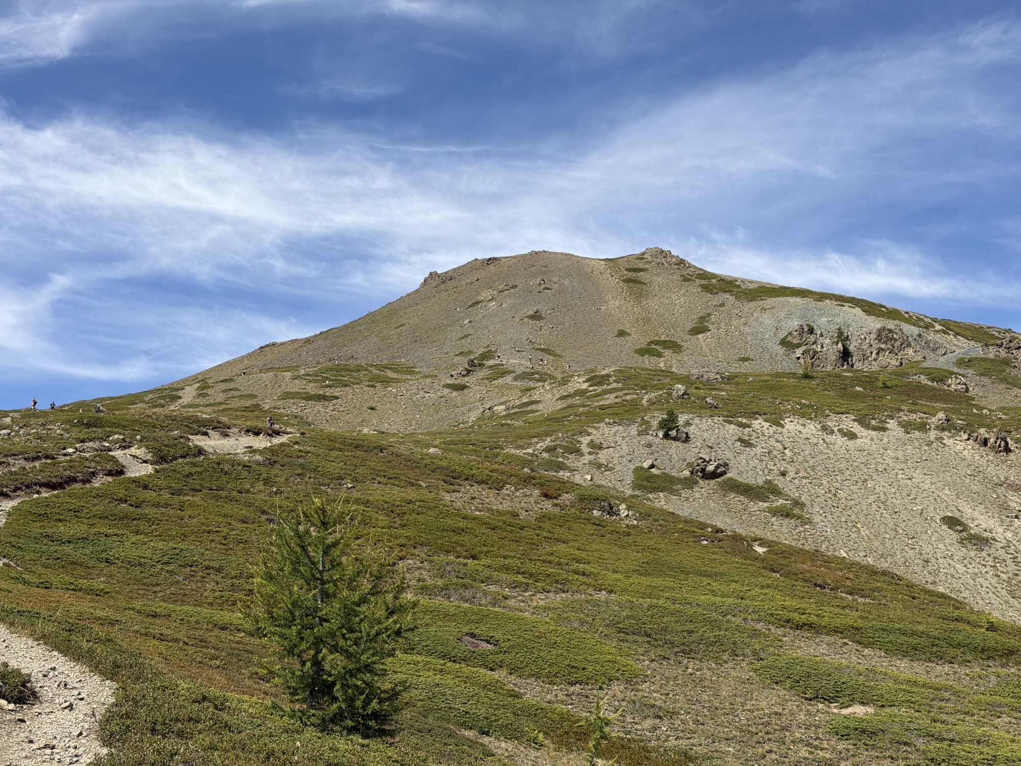
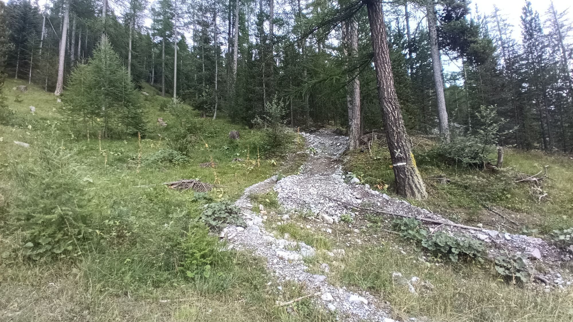
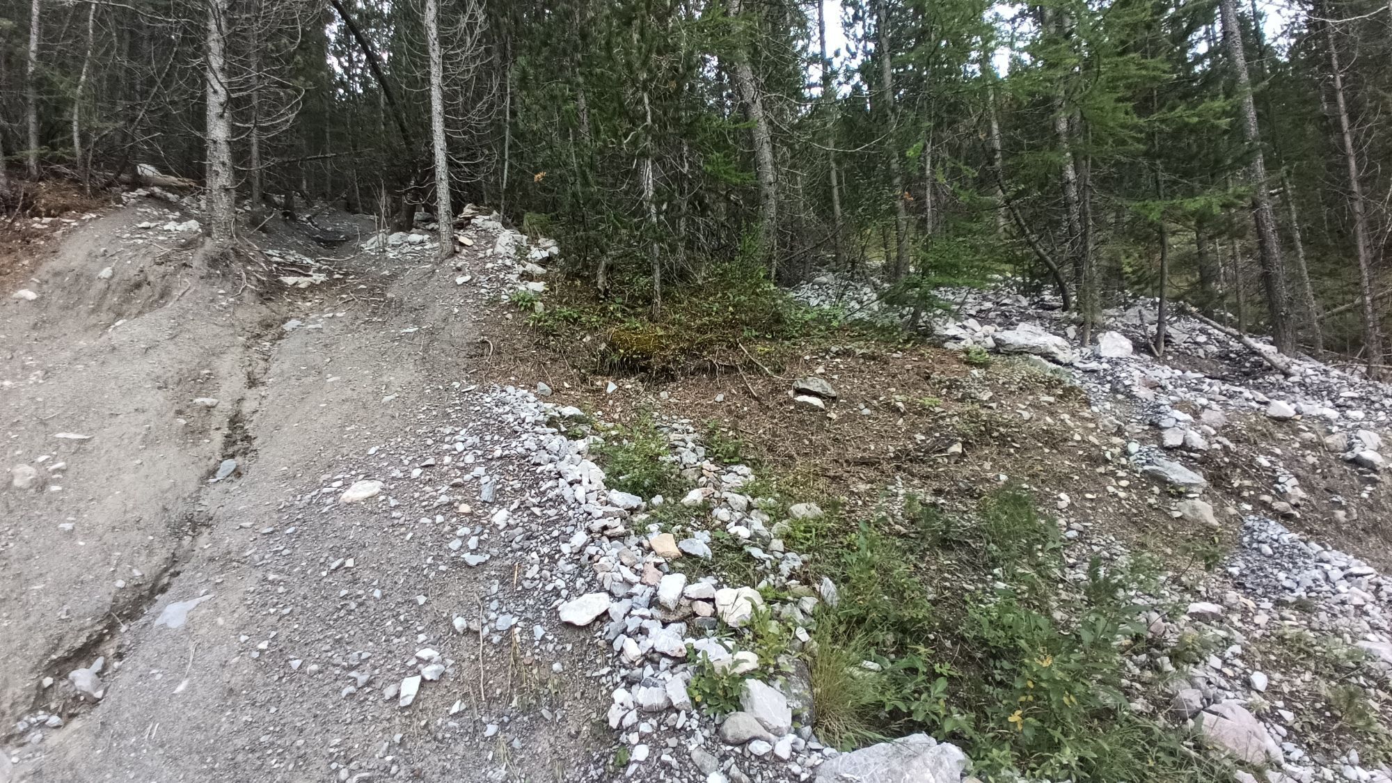
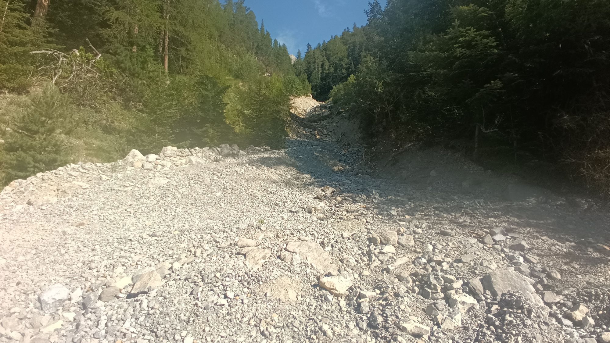
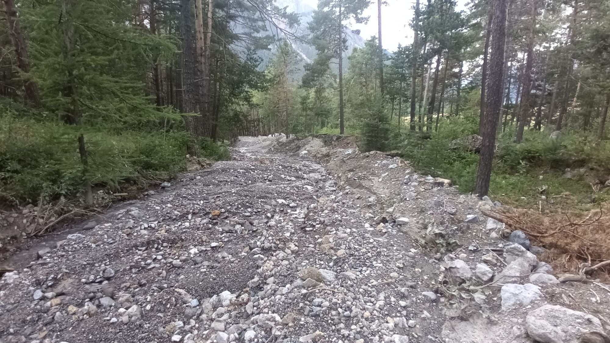
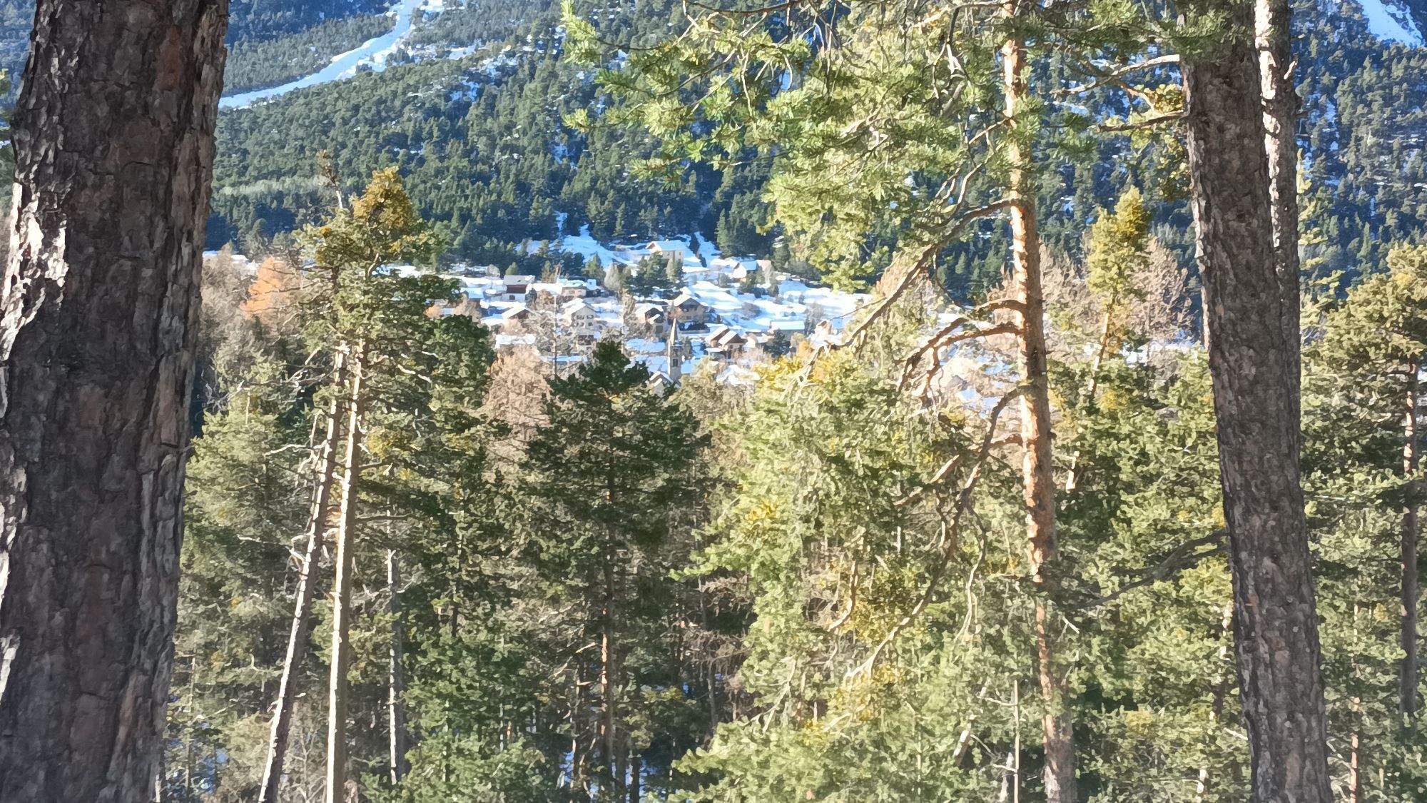
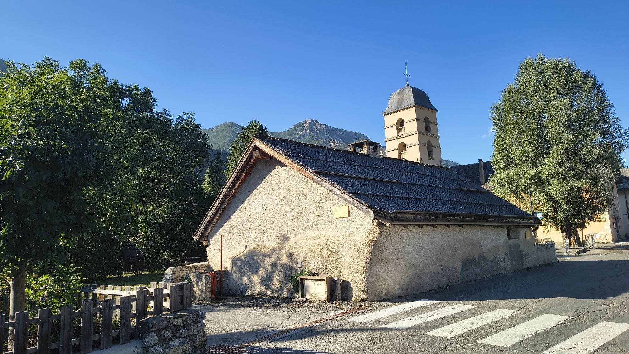
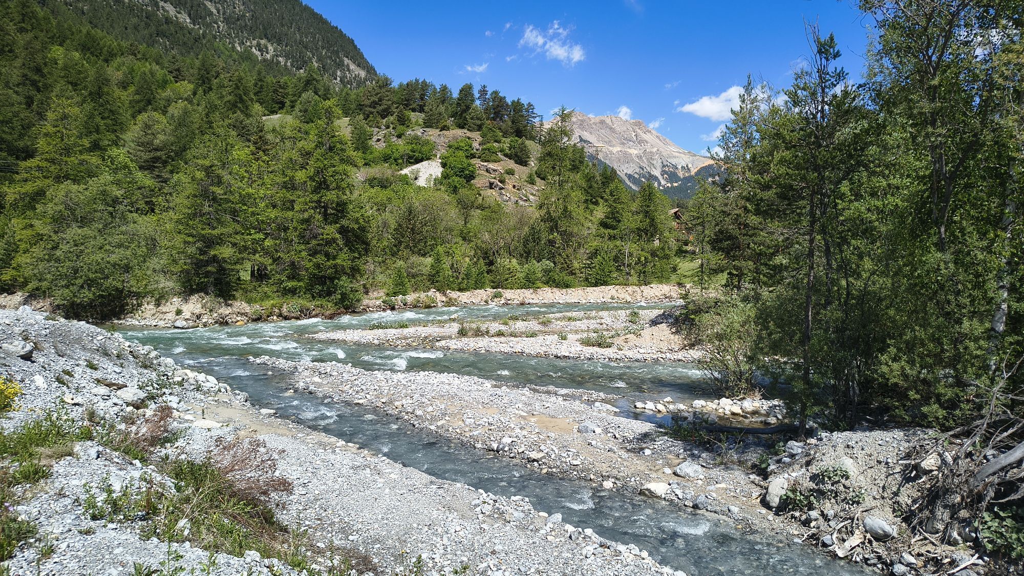
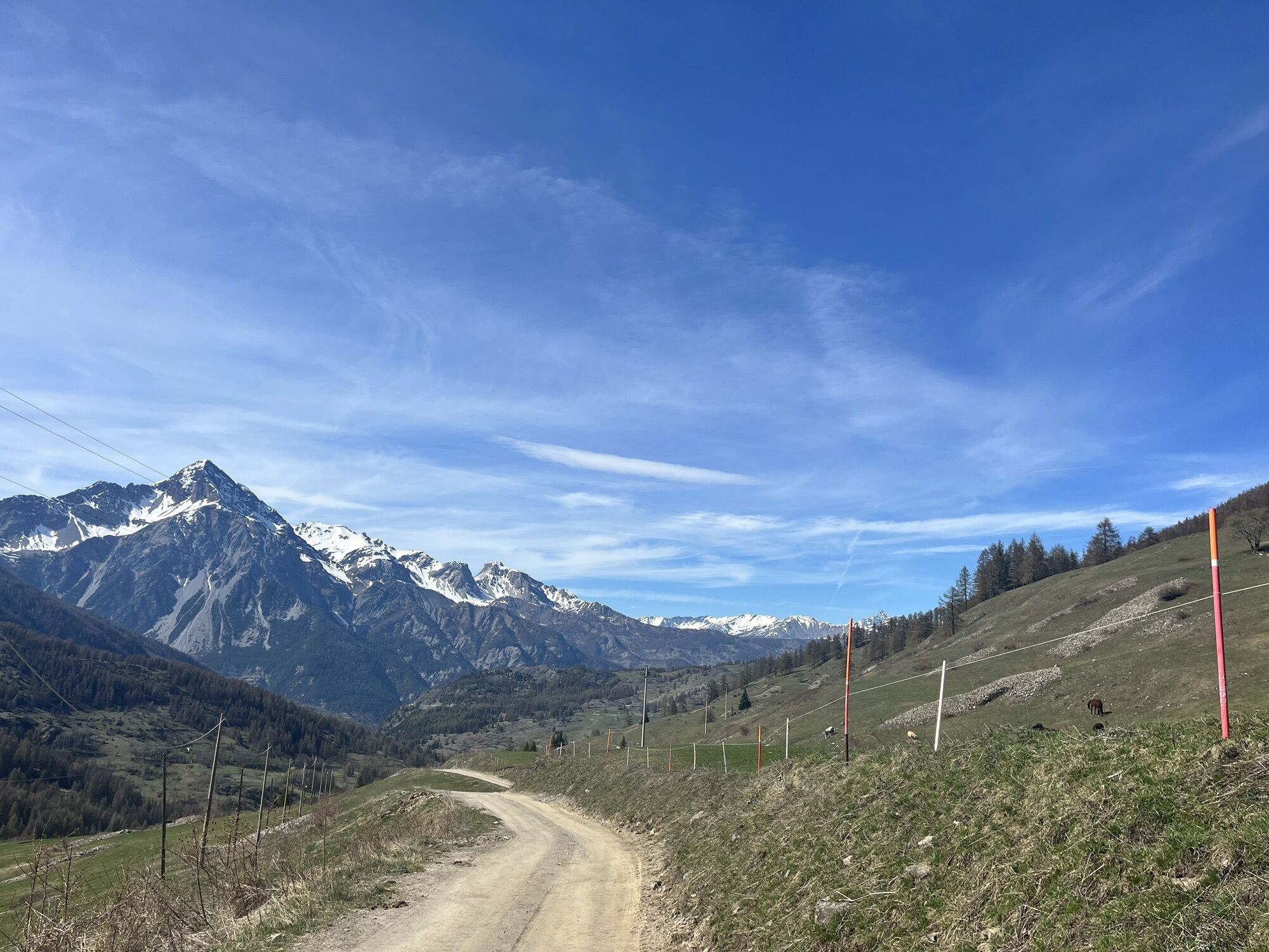
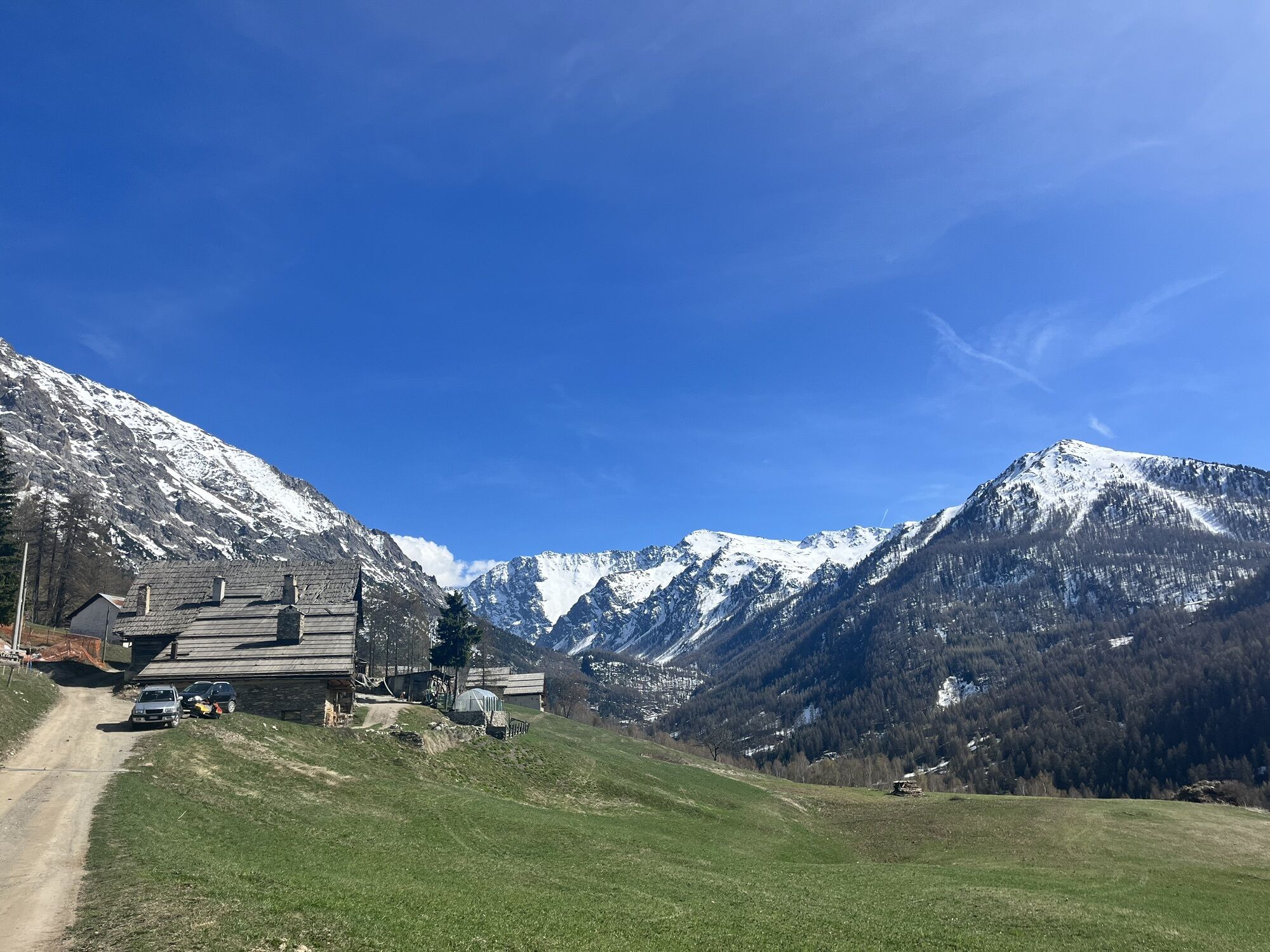
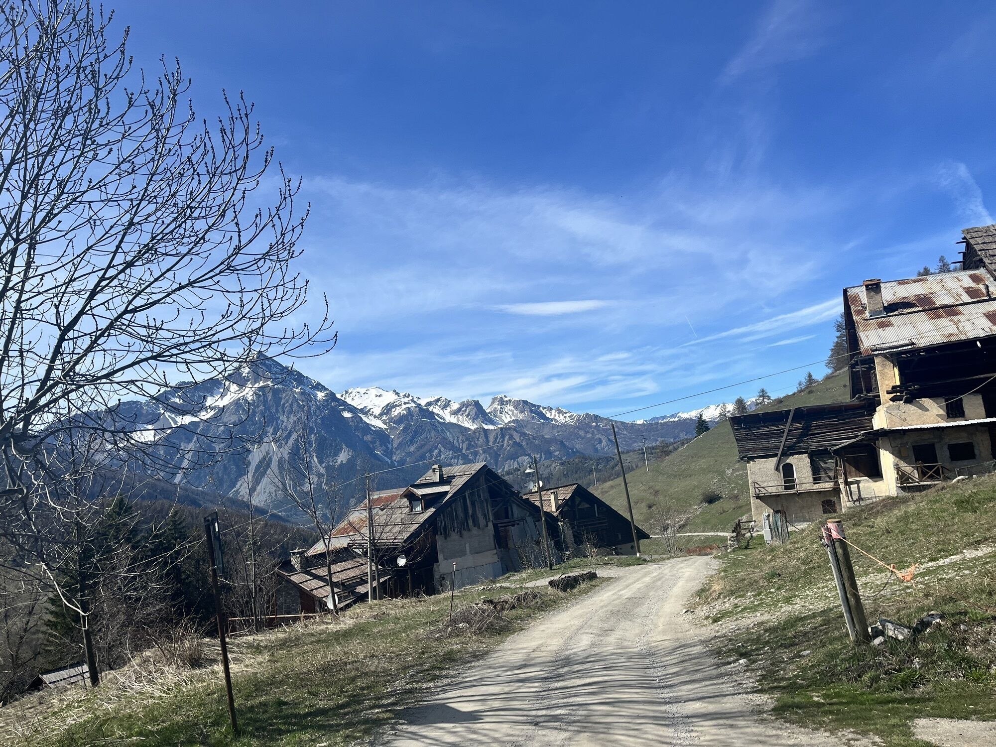
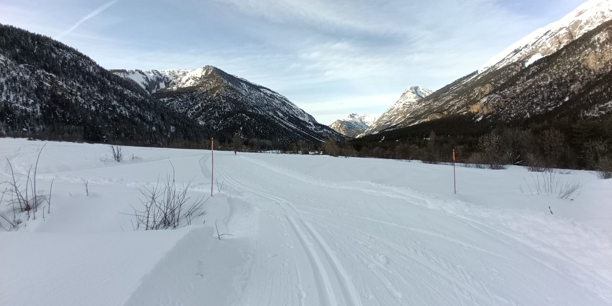
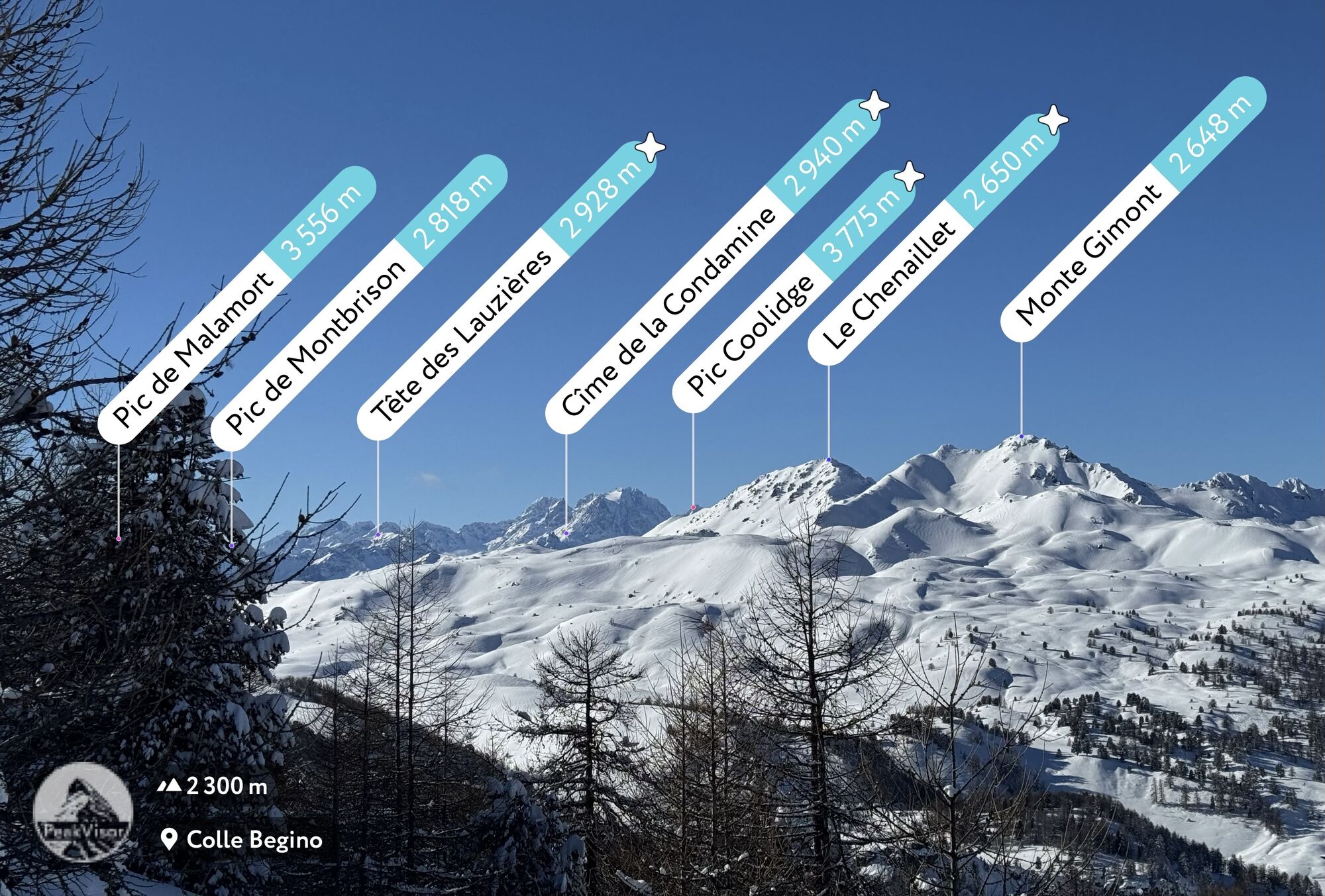
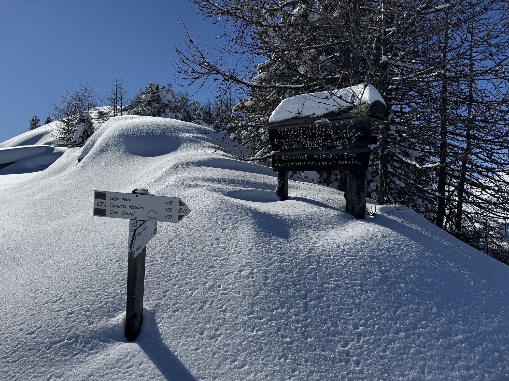
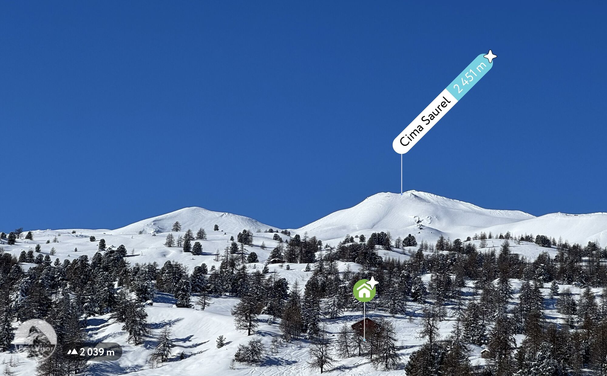
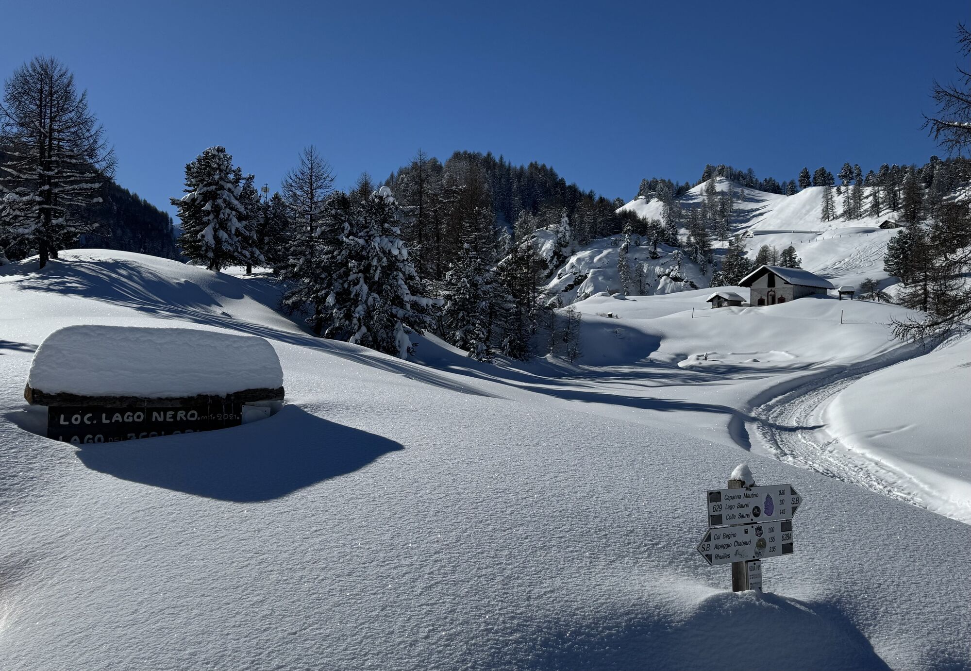
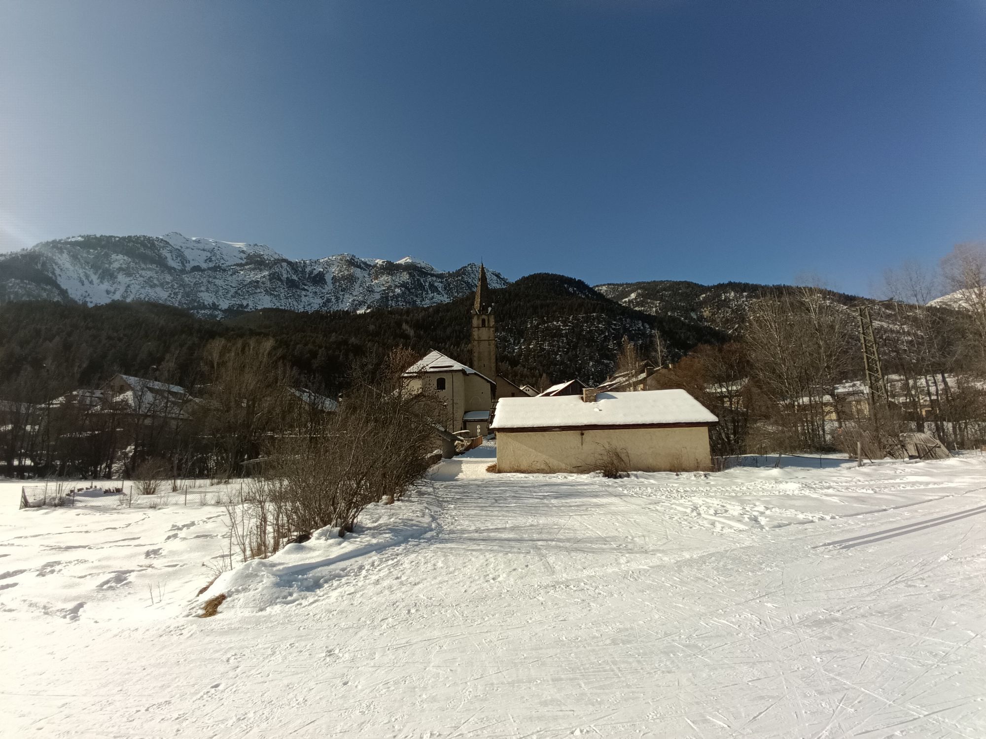

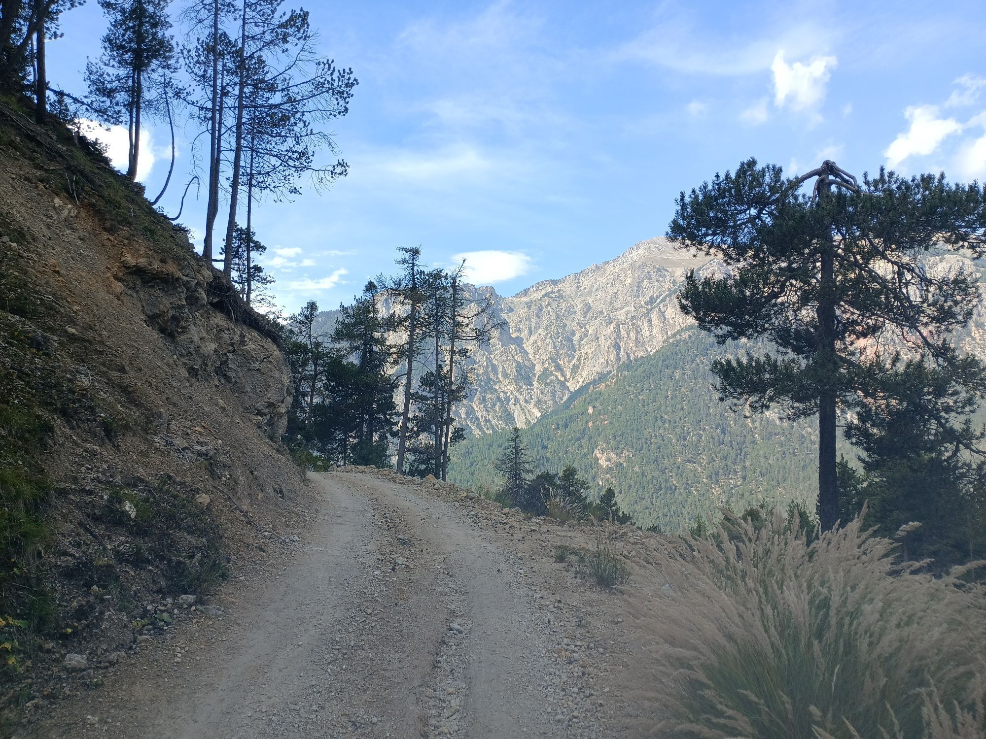
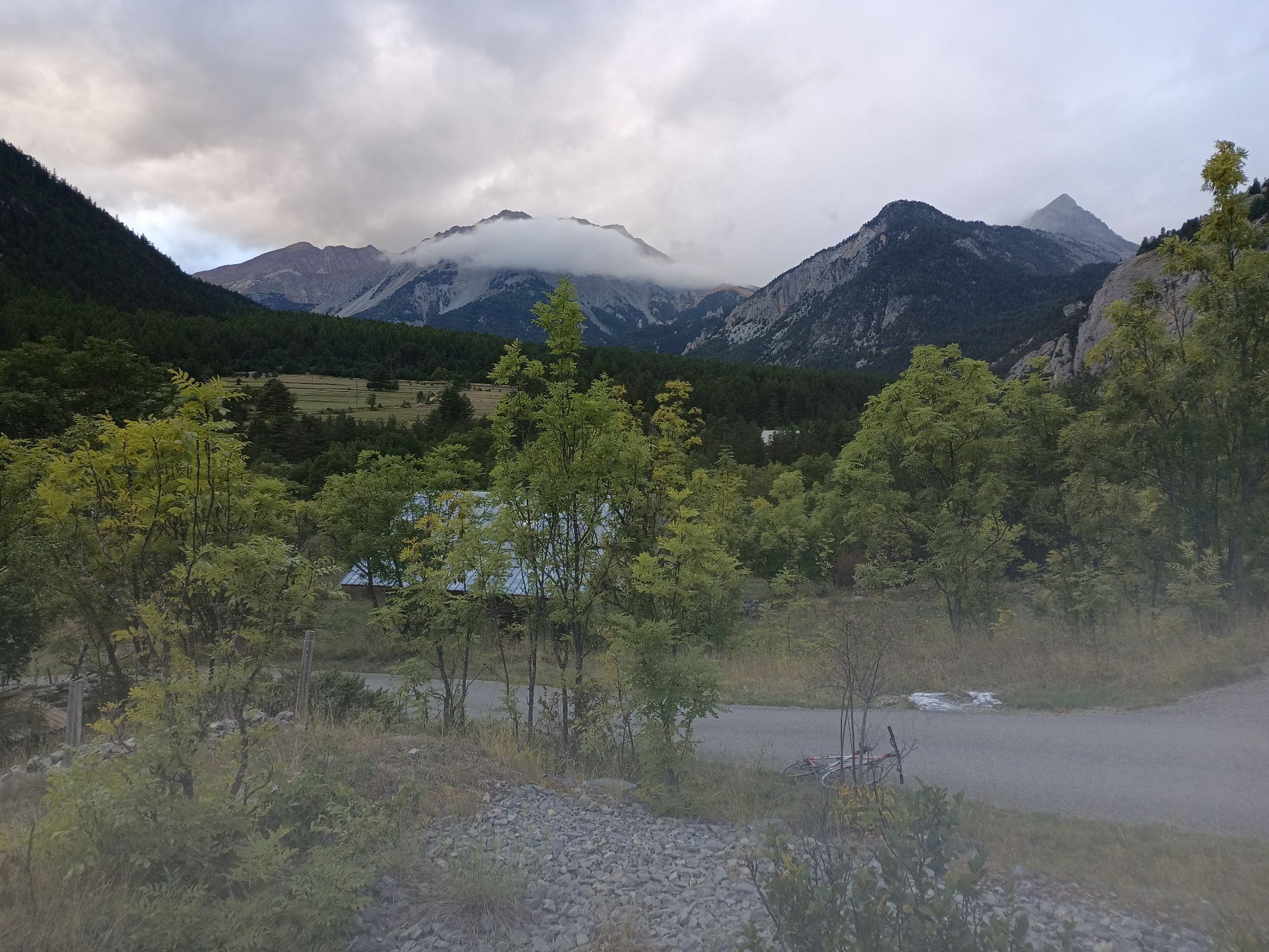
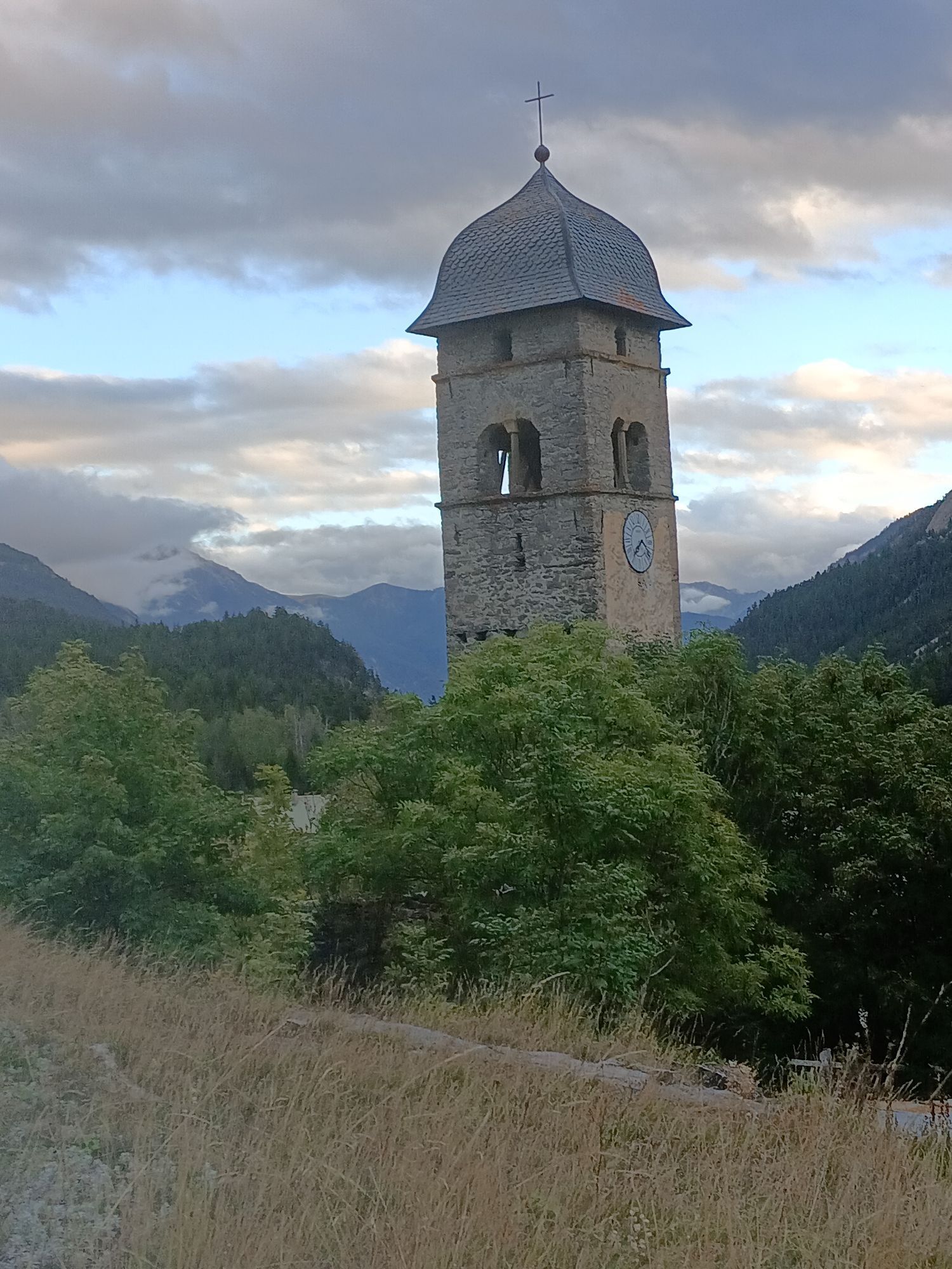
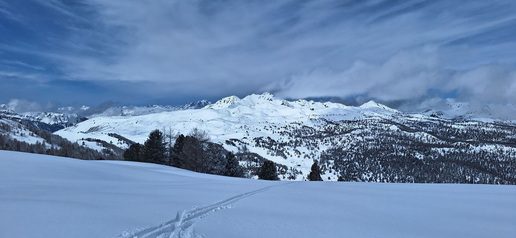
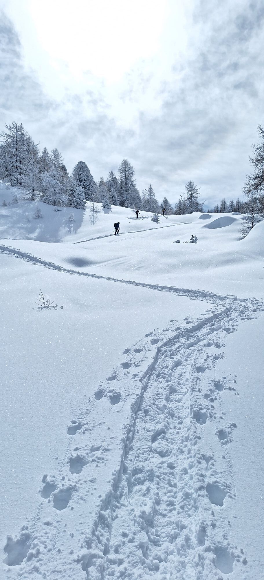
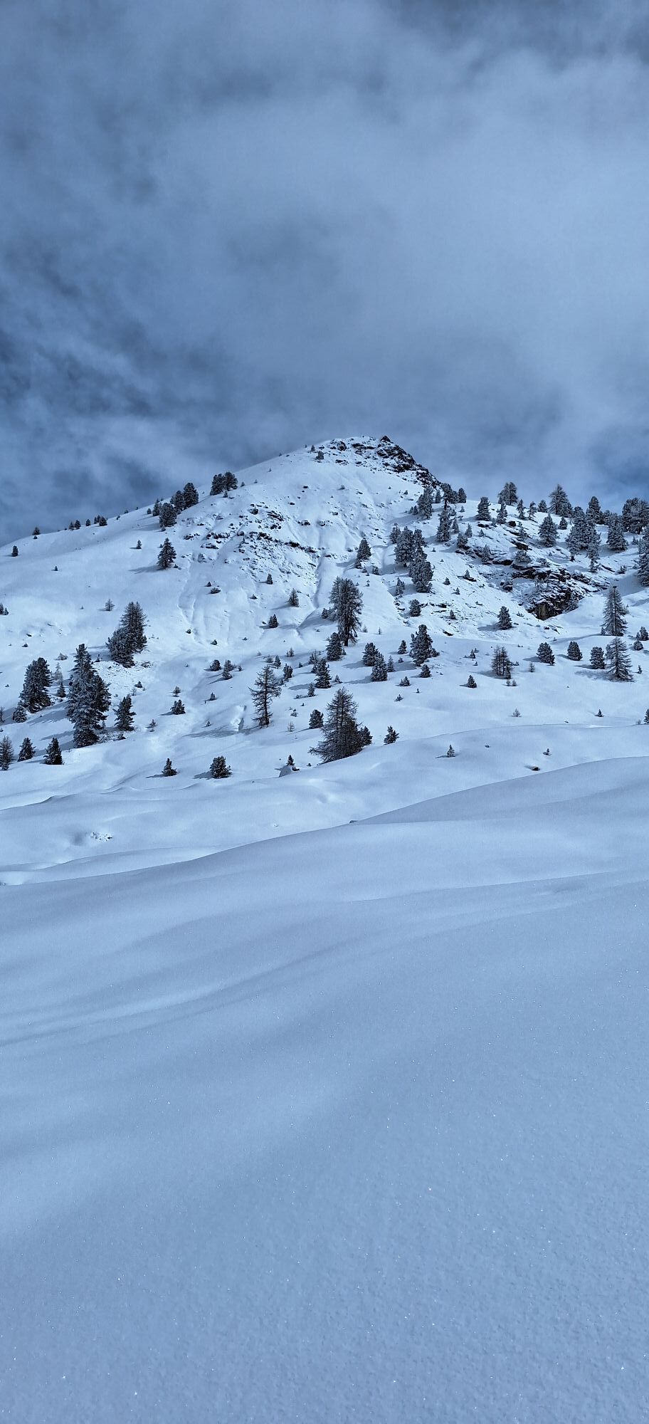
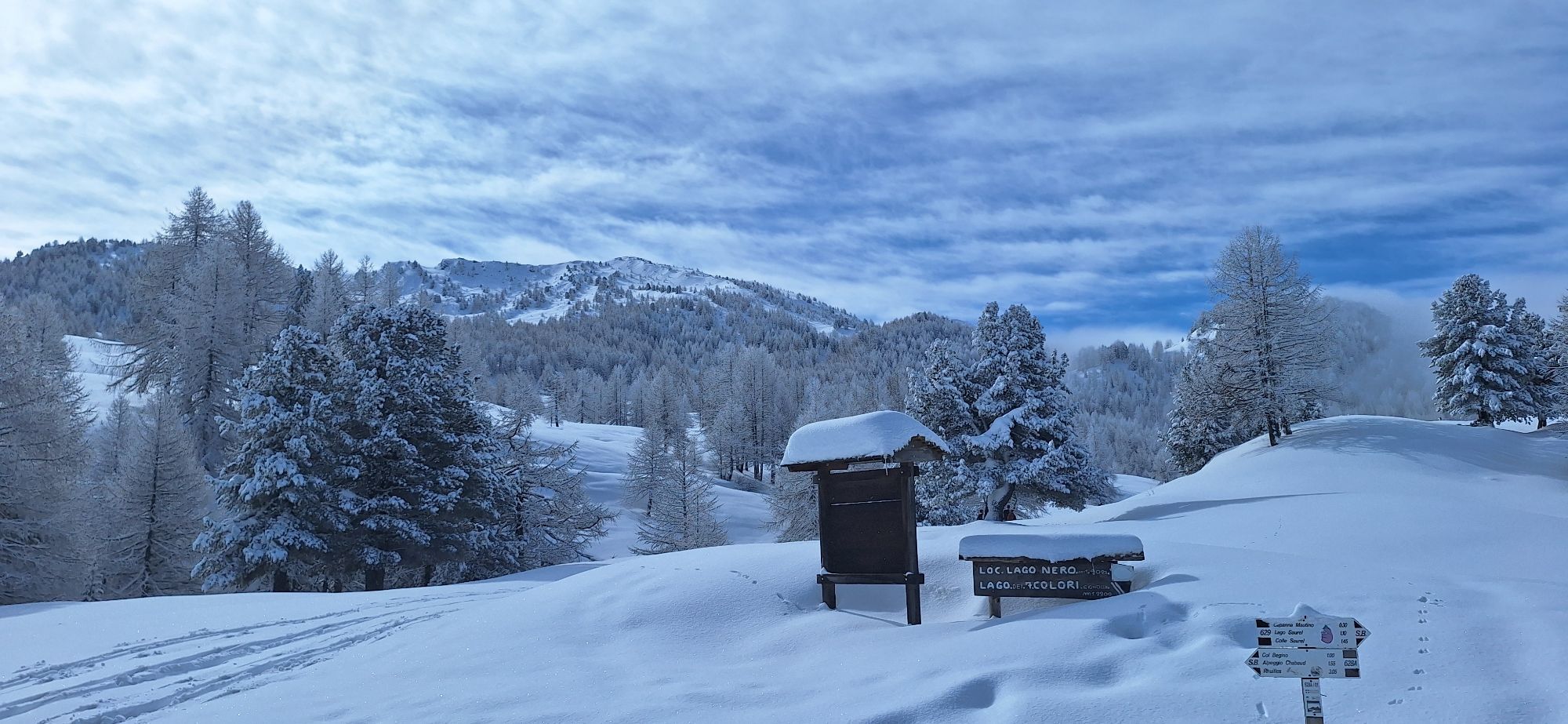
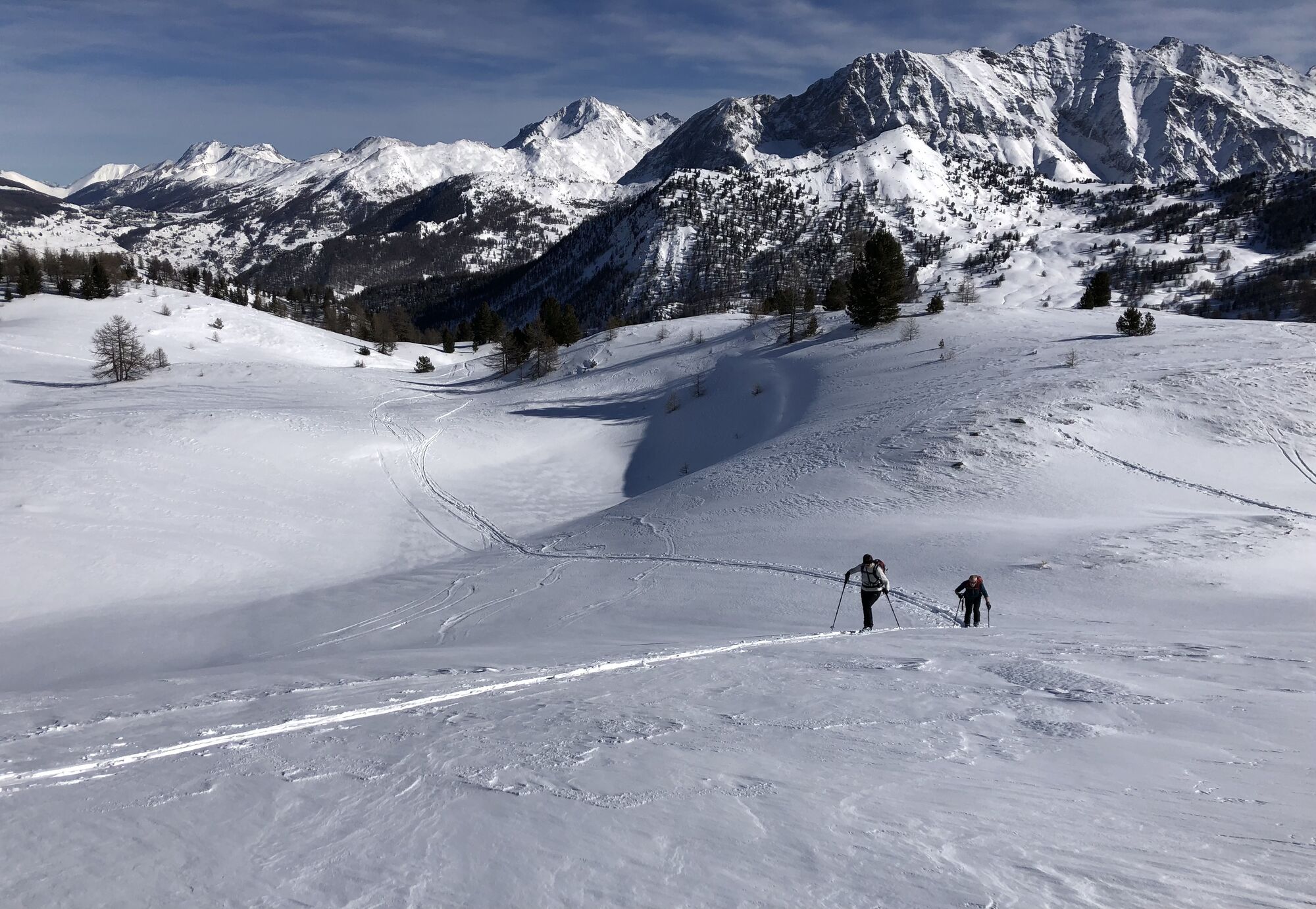

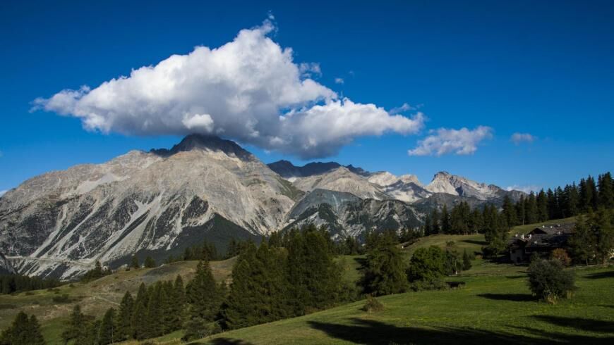
The "Chaberton route" is a stage hiking itinerary offering spectacular views and an immersive nature experience.
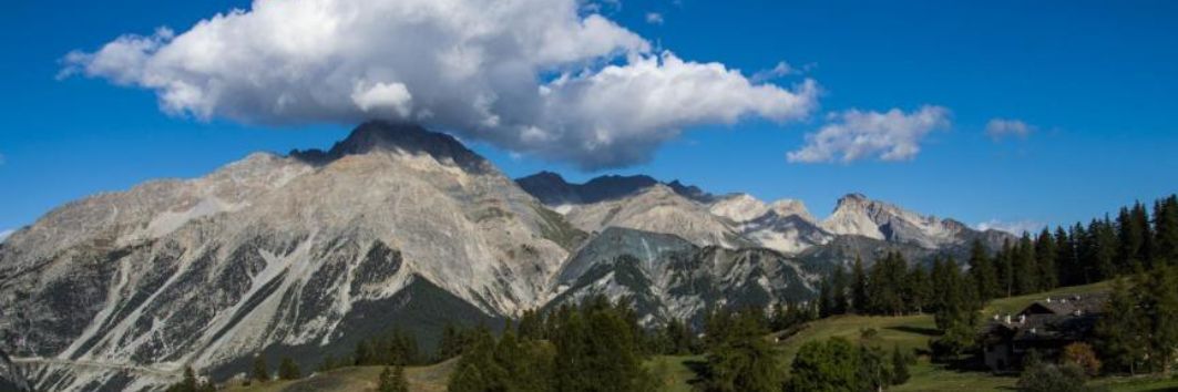
A circular path winding around Monte Chaberton, one of the most iconic peaks in the area,...
The "Chaberton route" is a stage hiking itinerary offering spectacular views and an immersive nature experience.
A circular path winding around Monte Chaberton, one of the most iconic peaks in the area, famous for its history and forts. The stages connect with the Balcony Trail in the municipalities of Oulx and Cesana Torinese.
The itinerary, accessible during the summer season, offers a variety of landscapes, from woods to alpine meadows, to breathtaking views of the surrounding mountains. Part of the itinerary is also offered in winter as a snowshoeing route on the stage from Fenils to Cesana Torinese.
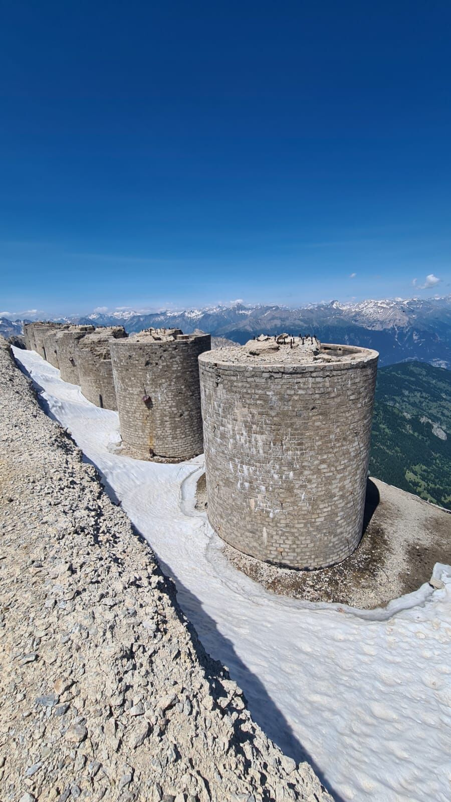
Along the way, it is possible to observe local flora and fauna, as well as discover remains of military fortifications dating back to the First World War.
Source: VisitPiemonte - Piemonte Region


Wear clothing and footwear suitable for the environment and the season.
Possibility of use with MTB on stages 1, 2, 3
The route can vary in length and difficulty but is recommended for experienced hikers. It is important to be prepared with appropriate equipment and to check weather conditions before undertaking the hike.
By train: Metropolitan Railway Service Line 3 stop Oulx with shuttle service to Cesana, Arriva bus line 285
By car: SS24 or A32 (Oulx East exit) to Oulx or Cesana T.se
Arrival at Oulx is possible via the SMF3 Turin - Bardonecchia railway line, Oulx stop, or with ARRIVA line bus
Near the Oulx railway station or in the white-striped parking lots in Cesana T.se
Connection with Balcony Trail near the village of Vazon (locality Le piazzole). Cross-border connections at: Passo dell'Orso, Passo di Desertes, Claviere.
Stages 1, 2, 3 (up to Claviere) are frequently used by French and Italian cycle tourists
Before starting any hike it is recommended to consult weather forecasts or inquire at local Tourist Offices and not to hike alone; always inform someone of your destination.
Do not litter but carry your waste with you, collecting any left by others where possible.
Travel times indicated are approximate and may vary depending on weather conditions and your abilities.
More information: www.tourchaberton.it
Spletne kamere s turneje
-
Front de neige - Montgenèvre
-
Chesal
-
Vialattea - Colle Bercia
-
Vialattea - Monte Fraiteve
-
Vialattea - Roccia Rotonda
-
Sauze D'Oulx - Monte Fraiteve
-
Sestriere - Monte Fraiteve
-
Roccia Rotonda
-
Col de Montgenèvre
-
Luge Monty Express - Montgenèvre
-
Névache - Domaine nordique
-
Sommet TS Brousset
-
Chesal 1805
-
Vallon Cros

Priljubljeni izleti v okolici
-
4.5
BARDONECCHIA Pian del Colle - Valle Stretta
srednjaSnežni čevlji 5.02 km -
5.0
BARDONECCHIA Green Lake
svetlobaPohodništvo 2.14 km -
4.7
BARDONECCHIA Col des Acles - Passo della Mulattiera
srednjaPohodništvo 6.23 km -
4.5
BARDONECCHIA Walter Bonatti Path - Grange della Rho
srednjaPohodništvo 6.06 km -
BARDONECCHIA - Loop Colle della Scala - Col de Montgenèvre - Colle del Sestriere
težkoCestno kolo 91.9 km -
CESANA T.SE Lago Nero - Seven Colors Lake
srednjaPohodništvo 3.51 km -
3.5
BARDONECCHIA Sentiero dei Cosetti by Luciano Ferraris
svetlobaPohodništvo 3.24 km -
BARDONECCHIA Lago Verde
svetlobaMountainbike 10.7 km -
4.5
BARDONECCHIA Forte Foens
srednjaPohodništvo 3.83 km -
5.0
CESANA T.SE Cesana - Fenils
svetlobaPohodništvo 4.60 km
Pohodništvo in sledenje


Ne zamudite ponudb in navdiha za naslednje počitnice
Vaš e-poštni naslov je bil dodan na poštni seznam.





