







Gran Gravel Tour in the Beyond Turin Hill - Day 2 - from Casalborgone to Turin

Stopnja težavnosti: 3
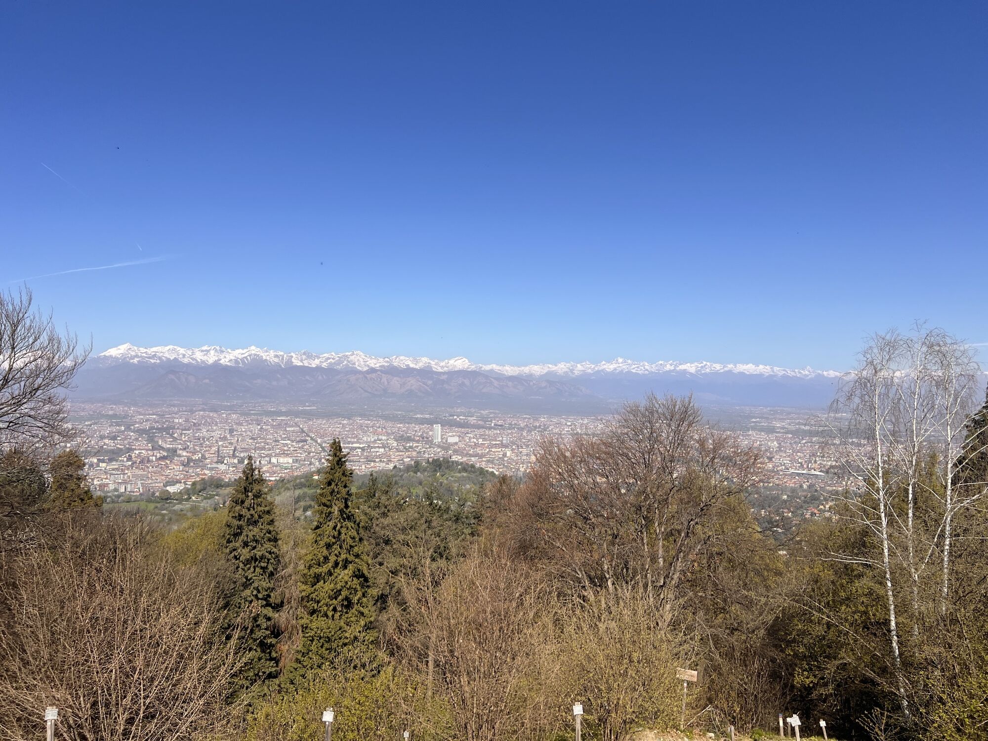
The route initially develops in the Special Conservation Area Bosco del Vaj and Bosc Grand, part of the Po Piemontese Park, on dirt roads and trails passable with gravel or MTB bikes through wonderful...
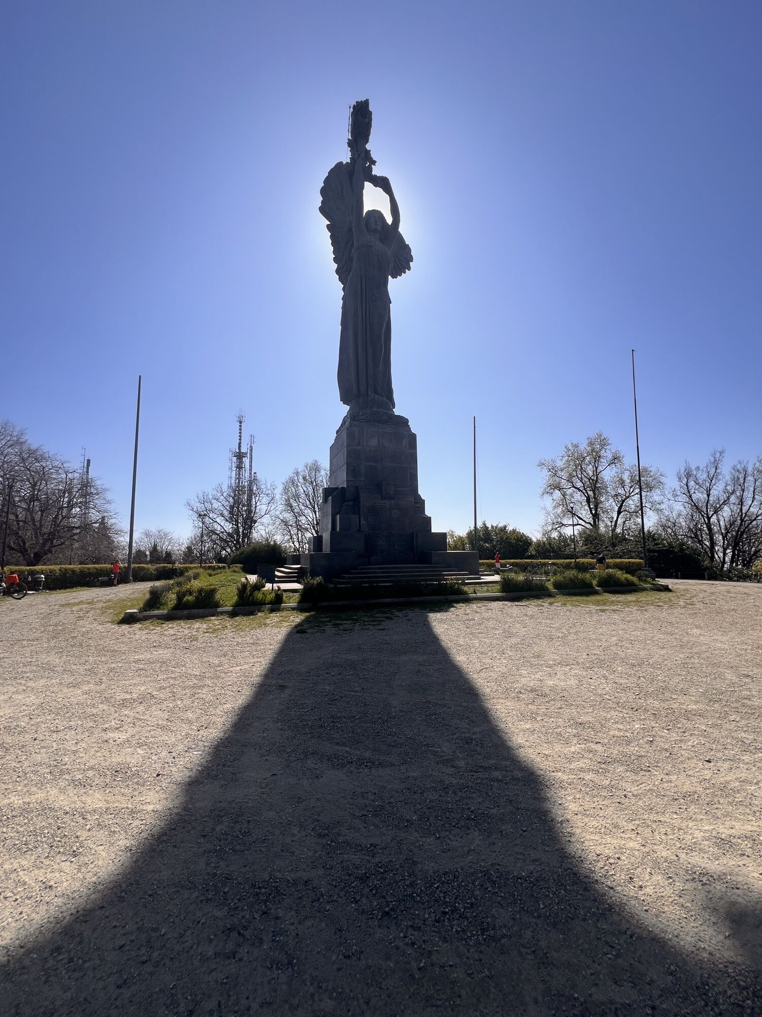
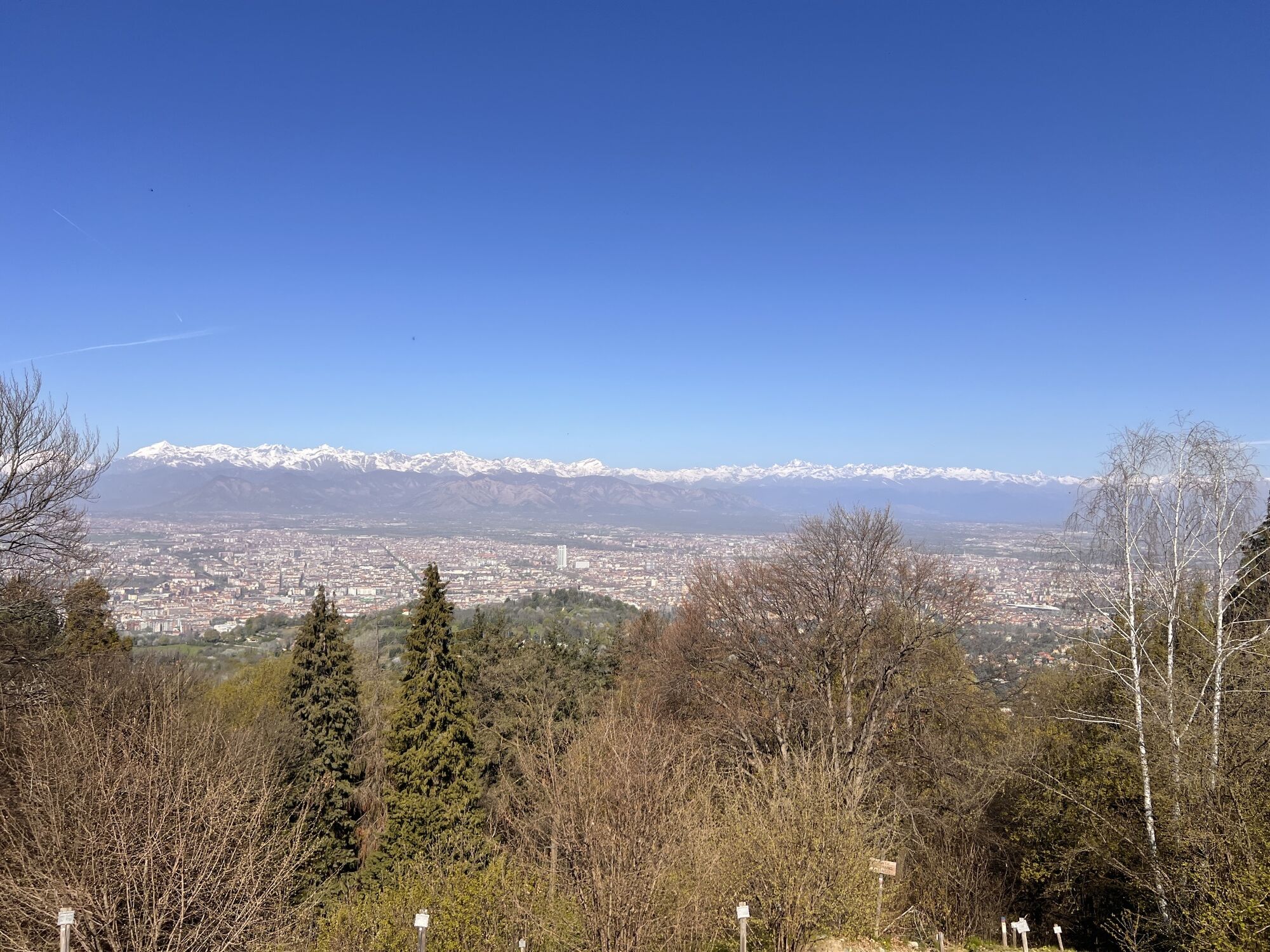
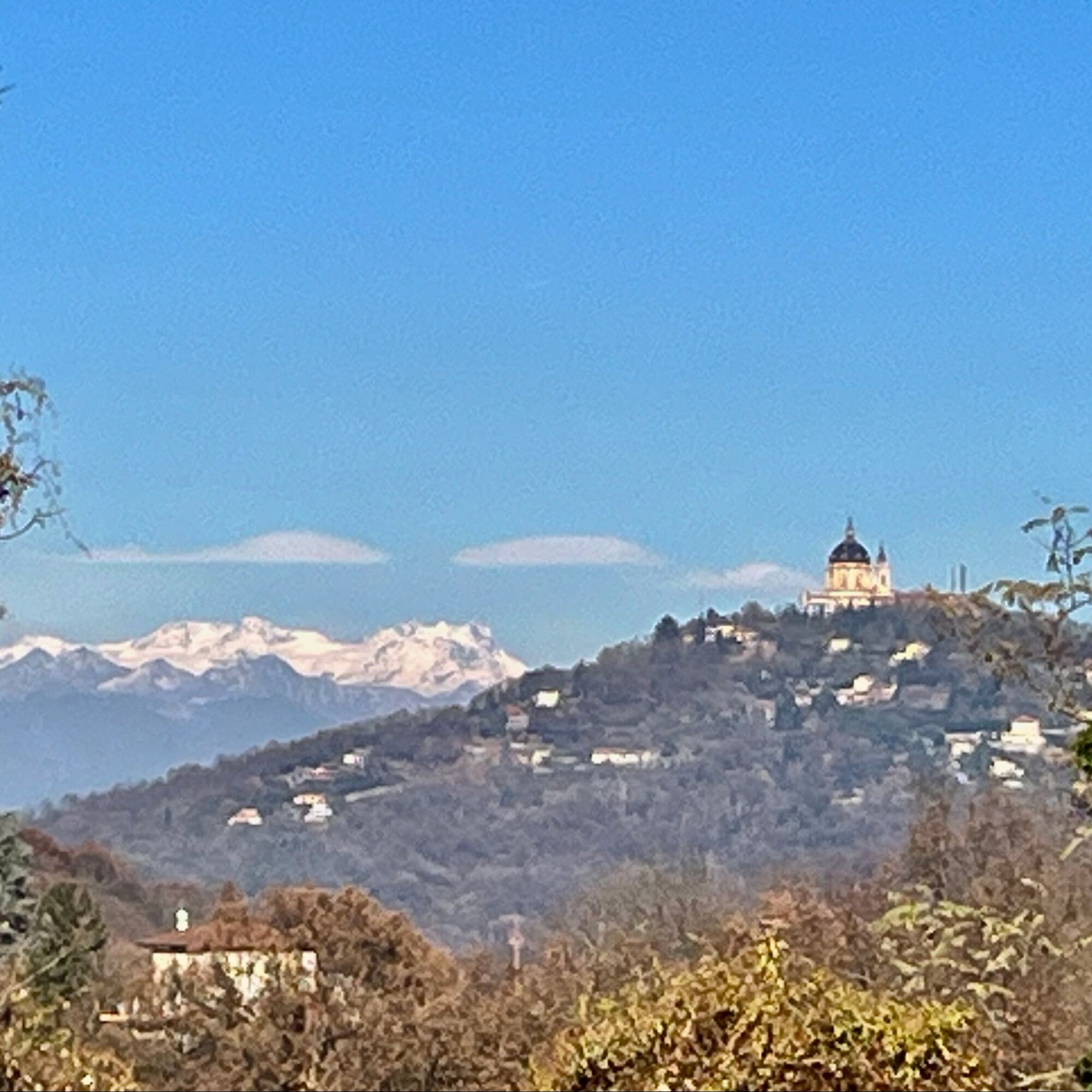
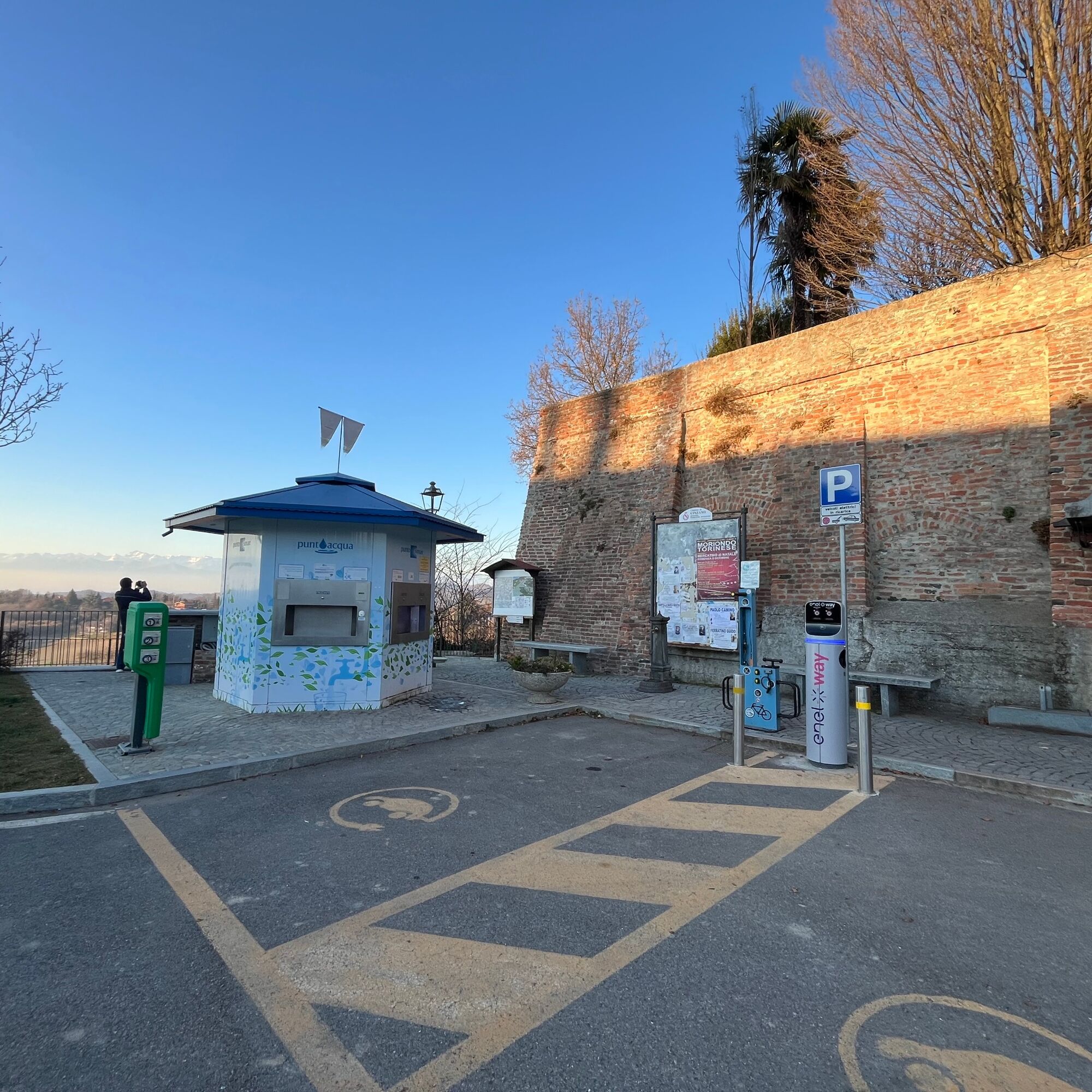
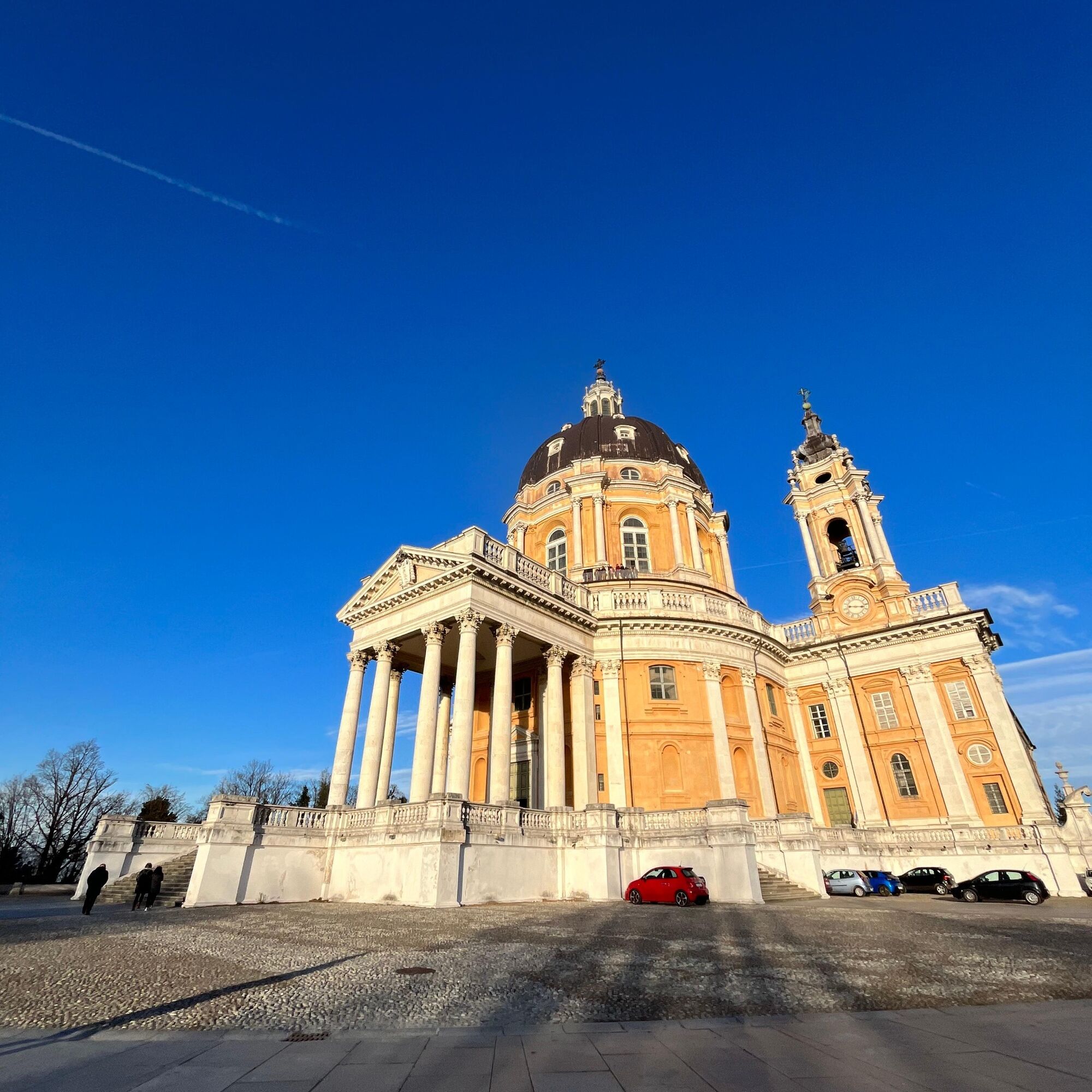
The route initially develops in the Special Conservation Area Bosco del Vaj and Bosc Grand, part of the Po Piemontese Park, on dirt roads and trails passable with gravel or MTB bikes through wonderful woods. Then it climbs on asphalt towards Cinzano, with its unmissable viewpoint. Then it continues on secondary asphalt roads along the ridge of the Turin hill, with long stretches coinciding with the famous Superga-Vezzolano-Crea route and the Blue Way Piemontese, offering views on both sides (on clear days you can see the Monte Rosa massif, the Matterhorn and the entire arc of the Western Alps up to Monviso). Then it climbs to Superga, where the terrace offers an unparalleled panorama for a break. Here it is possible to stop and visit the architectural complex designed by Filippo Juvarra: the Basilica, the Tombs of the Savoy family and the Royal apartments, as well as the Grande Torino memorial. From here you can continue along the path, which fully follows the "Panoramica" Via dei Colli, up to the Maddalena Hill and the Victory Lighthouse, the highest point of the Turin hill, then descend into the city.
(at various points on the Via dei Colli it is possible to descend directly to Turin if you want to reduce the distance or elevation of the day)

Da
Da
Bike suitable for gravel routes, with tires of minimum 40mm width. Cross-country MTB or E-MTB are also suitable.
Careful on the dirt roads of Bosco del Vaj and Grand Bosc.
The descent after the center of Bardassano could be tricky.
The road to climb up to Superga and the subsequent Via dei Colli (Panoramica) could be very busy with cars, especially on holidays.
3
Challenging route with a muscle bike, but without particular riding difficulties, therefore much easier with an electric-assist bike.
Given the length and elevation gain, it is recommended to start early in the morning.
Also consider the possibility to reduce both distance and elevation, starting directly from Casalborgone towards Cinzano, or evaluate descending to Turin from one of the various points on the Turin Hill where possible.

Priljubljeni izleti v okolici
-
MONCALIERI - Biking on the water: Le Vallere and Valentino Park
svetlobaKolesarjenje 17.0 km -
CAMBIAN toward Riva presso Chieri
svetlobaKolesarjenje 22.8 km -
TURIN - The tour of the Turin hillside on the "scenic road"
srednjaCestno kolo 36.7 km -
ANDEZENO - Panoramic loop towards Pino Torinese
srednjaKolesarjenje 35.0 km -
CHIERI - Among vineyards, hills and history toward the Abbey of Vezzolano.
srednjaCestno kolo 58.6 km -
CHIERI - Ring in the surroundings
srednjaKolesarjenje 24.4 km -
Gran Gravel Tour in the Oltre Collina Torinese in 4 stages
težkoKolesarjenje na dolge razdalje 230.6 km -
CHIERI - Ring toward Pavarolo, Montaldo T.se and Andezeno
srednjaKolesarjenje 32.9 km -
CASALBORGONE - Bosc Grand and Bosco del Vaj by MTB
srednjaMountainbike 22.6 km -
CHIERI - Loop towards Riva presso Chieri
Kolesarjenje 32.5 km
Pohodništvo in sledenje


Ne zamudite ponudb in navdiha za naslednje počitnice
Vaš e-poštni naslov je bil dodan na poštni seznam.





