







Thur and Necker Trail, Stage 5, St. Peterzell - Schwägalp
Stopnja težavnosti: T2
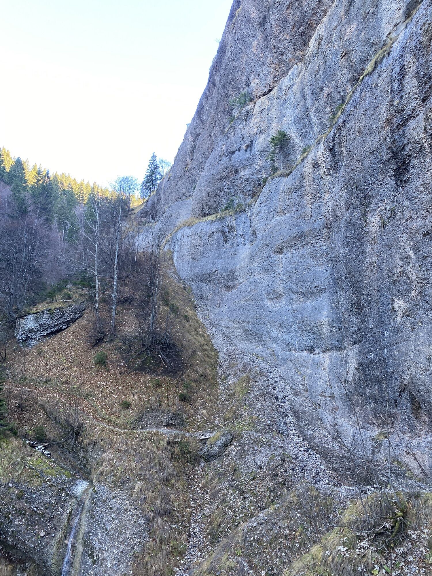
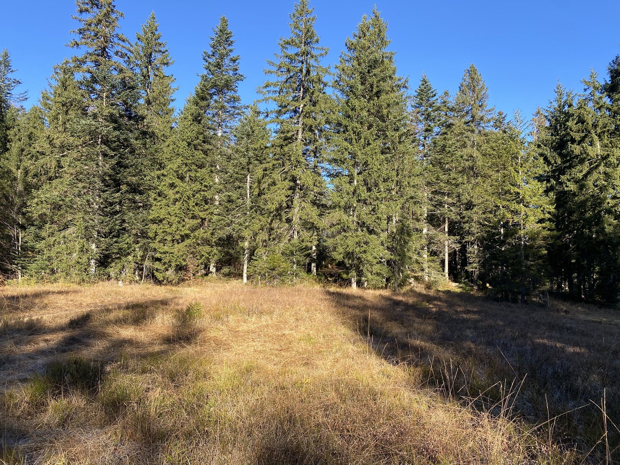
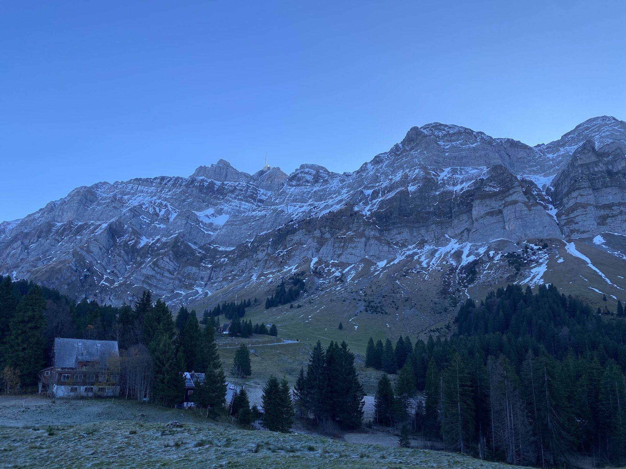
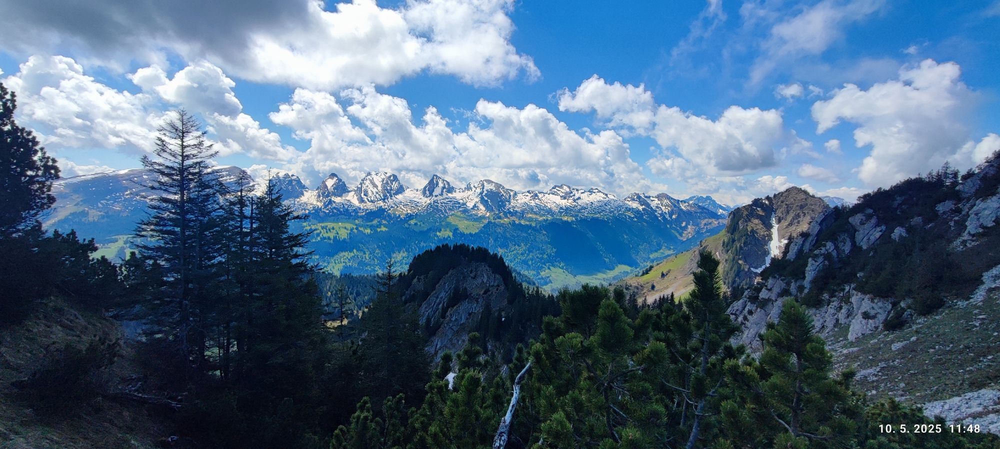
From the stage starting point in St. Peterzell on the Way of St. James, the route initially follows the Necker valley upwards to the beautifully located Ampferenboden and onwards towards the river's source...
Starting from St. Peterzell, the Necker constantly accompanies the hikers on varied paths and trails. Along the spectacular gorge near the Ofenloch – the origin of the Necker and also known as the "Grand Canyon of Eastern Switzerland" – the path continues uphill. Through a diverse world of plants and forests, the view finally opens to the magnificent Säntis massif before the route transitions into the moorland of Schwägalp, where the stage concludes.


Tages-Wanderrucksack (ca. 20 Liter) mit Regenhülle, festes und bequemes Schuhwerk, witterungsangepasste und strapazierfähige Kleidung im Mehrschicht-Prinzip, ggf. Teleskopstöcke, Sonnen- und Regenschutz, Proviant und Trinkwasser, Erste-Hilfe-Set, Taschenmesser, Handy, ggf. Stirnlampe, Kartenmaterial.
T2
Hauptstrasse 104
CH-9658 Wildhaus
Tel: +41 (0)71 999 99 11
E-Mail: info@toggenburg.swiss
Internet: https://thurundneckerweg.ch/de/
Der abwechslungsreiche Wechsel zwischen Naturwegen, Wiesenpfaden und kurzen Asphaltabschnitten verleiht jeder Etappe ihren eigenen Rhythmus. Die ständige Begleitung von Thur und Necker schafft dabei eine ruhige, entschleunigende Atmosphäre. Charakteristisch für den Thur- und Neckerweg sind zudem liebevoll gestaltete Ruheoasen, Klanginstallationen, Kunstwerke sowie zahlreiche gut ausgestattete Grillstellen, die immer wieder zum Innehalten, Verweilen und bewussten Erleben einladen.
Pridobite vpogled
Vedno v živo na mestu z več kot 9.500 spletnimi kamerami. bergfex Kot uporabnik Pro si lahko zdaj ogledate ustrezne spletne kamere za številne izlete v aplikaciji izleti iz. Tako si lahko neposredno ogledate trenutne razmere.
Priljubljeni izleti v okolici
-
4.7
Riviera Lake Walen Walenstadt-Quinten
srednjaPohodništvo 10.4 km -
5.0
Staubern-Runde (15.8.2021)
srednjaPohodništvo 8.65 km -
4.9
Säntis-Gipfeltour, Wasserauen / Appenzell Innerrhoden
težkoPohodništvo 21.1 km -
4.7
Tour Brülisau - Saxerlücke - Hoherkasten⛰
težkoPohodništvo 16.6 km -
4.6
Wasserauen - Seealpsee - Wasserauen
srednjaPohodništvo 7.71 km -
4.6
Säntis
srednjaGorski pohodništvo 17.5 km -
5.0
Schrina Alp and Cultural Trail
srednjaTematska pot 11.5 km -
4.7
Schwende, Appenzell Innerrhoden
srednjaPohodništvo 11.8 km -
4.6
Frümsen - Saxerlücke - Staubern, Schweiz
srednjaPohodništvo 14.0 km -
4.9
Wasserauen - Klein Hütten - Bogartenlücke - Marwees - Meglisalp - Klein Hütten - Wasserauen
srednjaPohodništvo 14.4 km

Pohodništvo in sledenje


Ne zamudite ponudb in navdiha za naslednje počitnice
Vaš e-poštni naslov je bil dodan na poštni seznam.





