



Mapragg reservoir


Without having to overcome great altitude differences, this route leads from Valens far into the Tamina valley. Over bridges, through meadows and forests as well as along the impressive Mapragg reservoir,...
Without having to overcome great altitude differences, this route leads from Valens far into the Tamina valley. Over bridges, through meadows and forests as well as along the impressive Mapragg reservoir, this hike leads to Vättis. It is pleasant to walk on natural hiking trails in bright forests, while the Tamina is allowed to follow its wild and original river course next to them. Accompanied by a magnificent view, this hike is a pleasure.

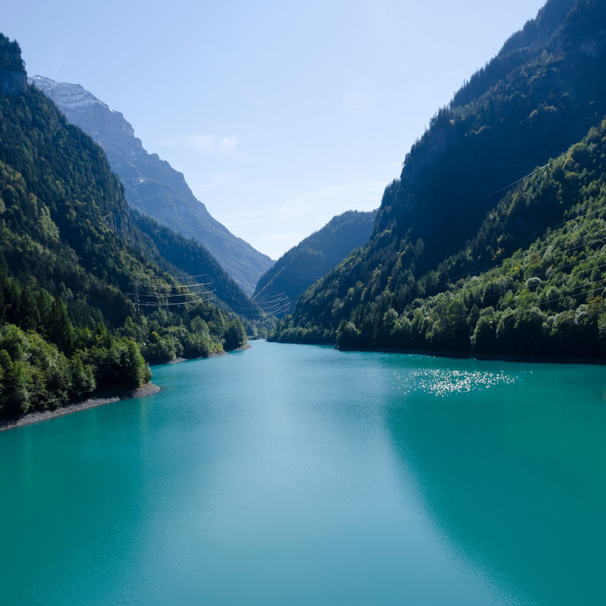
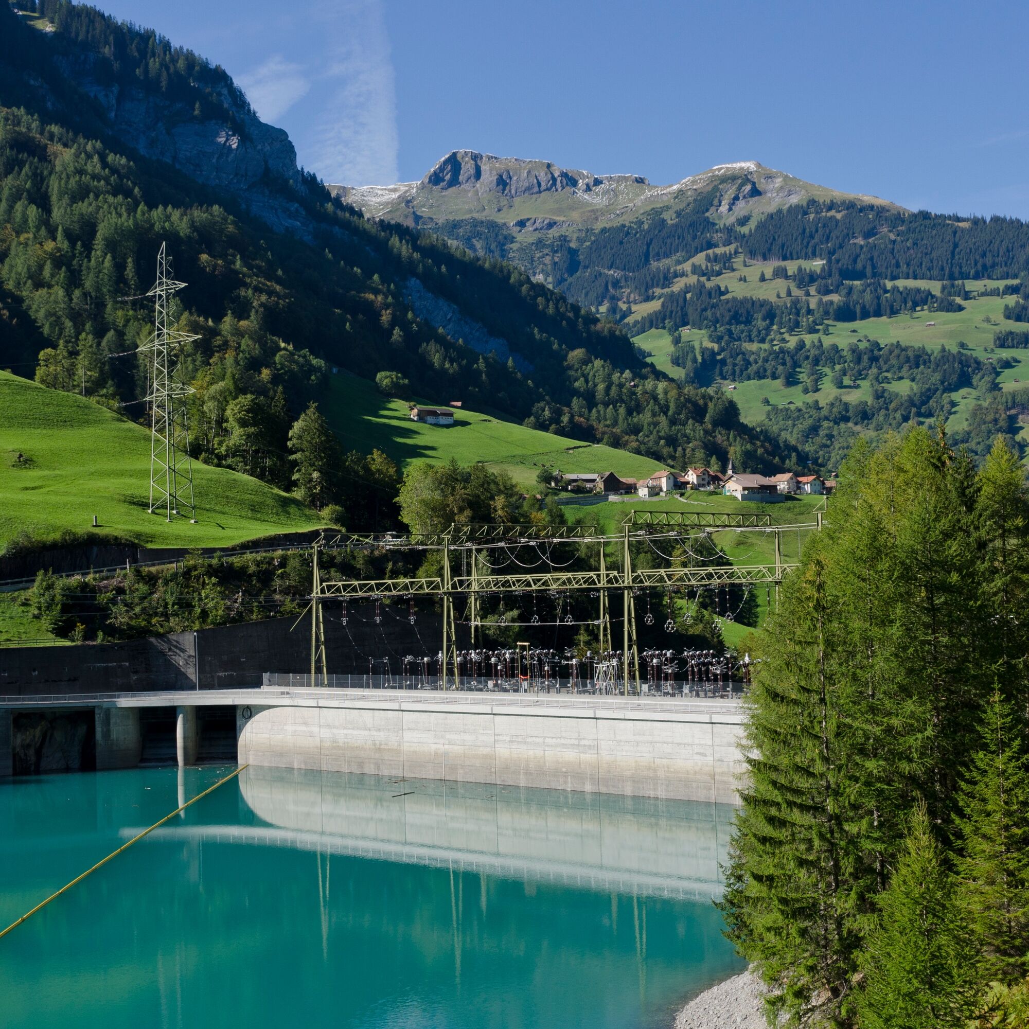
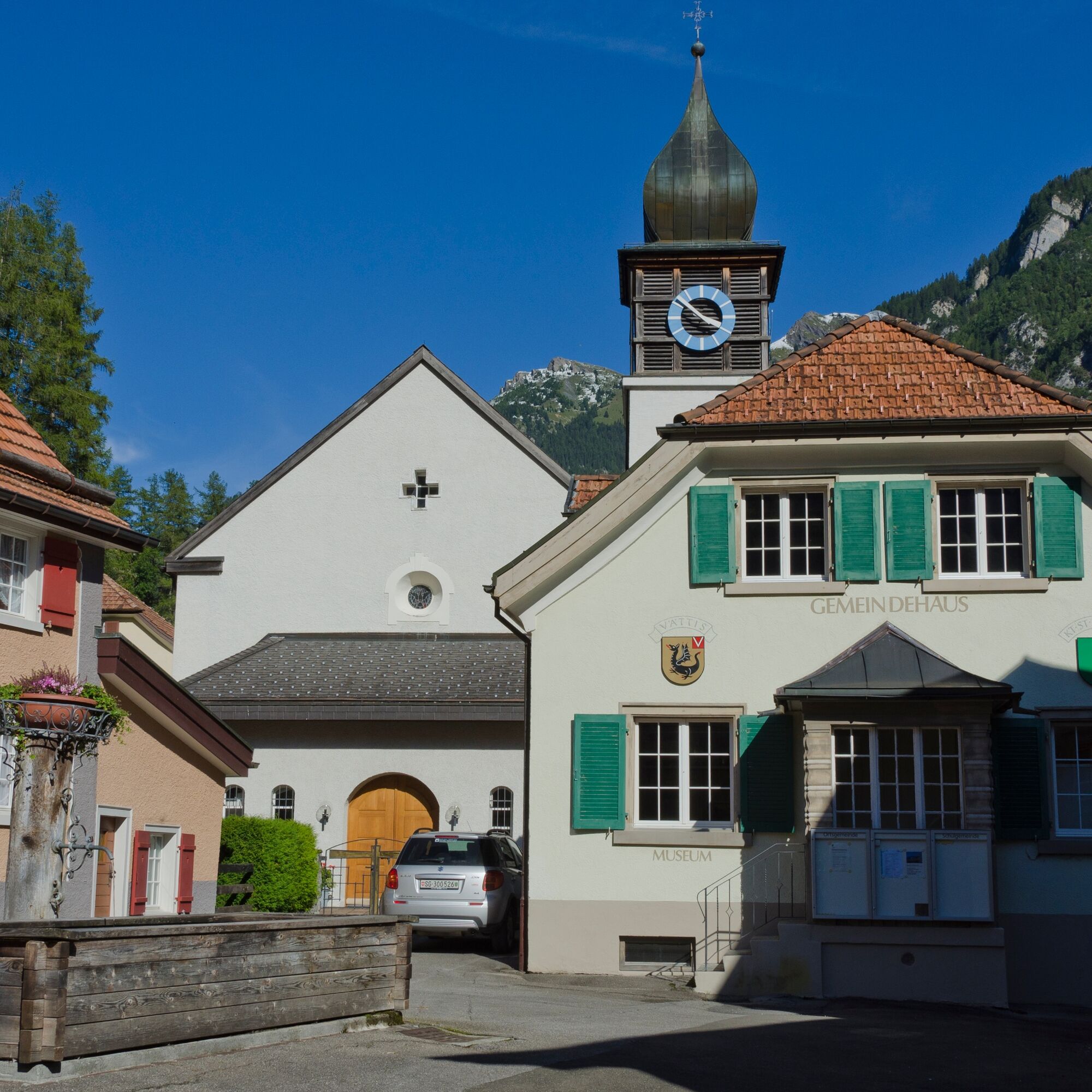

Valens – old Tschenner bridge – Vasön – Mapragg dam – Eschwald – St. Peter – Schüelen – Schiesstand Spina – Gaspus – Vättis
Normal hiking equipment. Depending on the weather, good footwear (hiking boots) is recommended, otherwise light trekking shoes are sufficient for the route.
Since some sections of the route lie on the motorway, special caution is required.
Take the Bad Ragaz motorway exit, then drive on the mountain road towards Pfäfers/Valens to Valens.
By train to Bad Ragaz, then by post bus to Valens.
Parking spaces can be found at the clinic.
Heidiland Tourism, Bad Ragaz Information Office
T +41 81 300 40 20
www.heidiland.com
Spletne kamere s turneje

Priljubljeni izleti v okolici
-
4.7
5-Seen Wanderung am Pizol
svetlobaPohodništvo 10.1 km -
4.6
Pizalun circular route
svetlobaPohodništvo 7.18 km -
4.8
Mountain hike to the Strudeltöpfe on Alp Mora: Bargis-Trin
težkoPohodništvo 18 km -
4.7
Off to the Falknis
težkoPohodništvo 18.2 km -
5.0
Circular hike Bettlerweg & 2-Lakes Hike Pizol
srednjaPohodništvo 11.4 km -
4.5
Pizol summit tour
srednjaPohodništvo 9.28 km -
4.5
St. Martin - Alp Sardona - St. Martin
srednjaPohodništvo 14.2 km -
5.0
Leiterliweg, Fläsch, Schweiz
svetlobaPohodništvo 12.5 km -
5.0
Malans-Jenins Wine Route
svetlobaPohodništvo 10.3 km -
4.5
Chapfensee Circular Route
svetlobaPohodništvo 4.15 km
Pohodništvo in sledenje


Ne zamudite ponudb in navdiha za naslednje počitnice
Vaš e-poštni naslov je bil dodan na poštni seznam.


