






Hike to Hochhamm
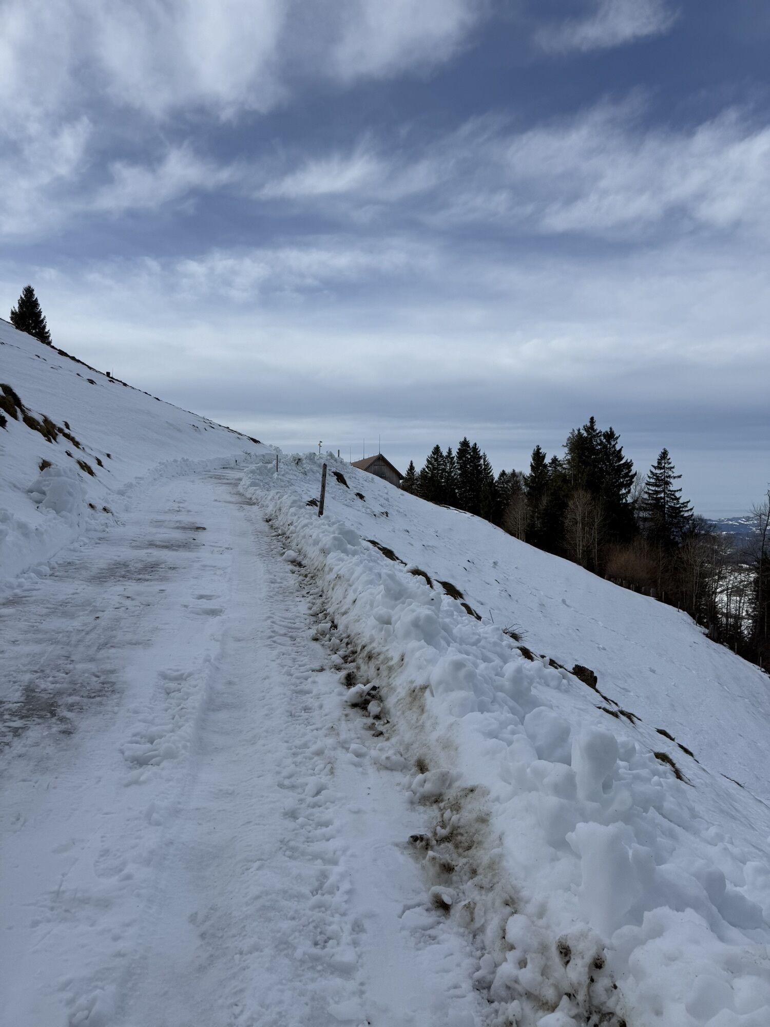
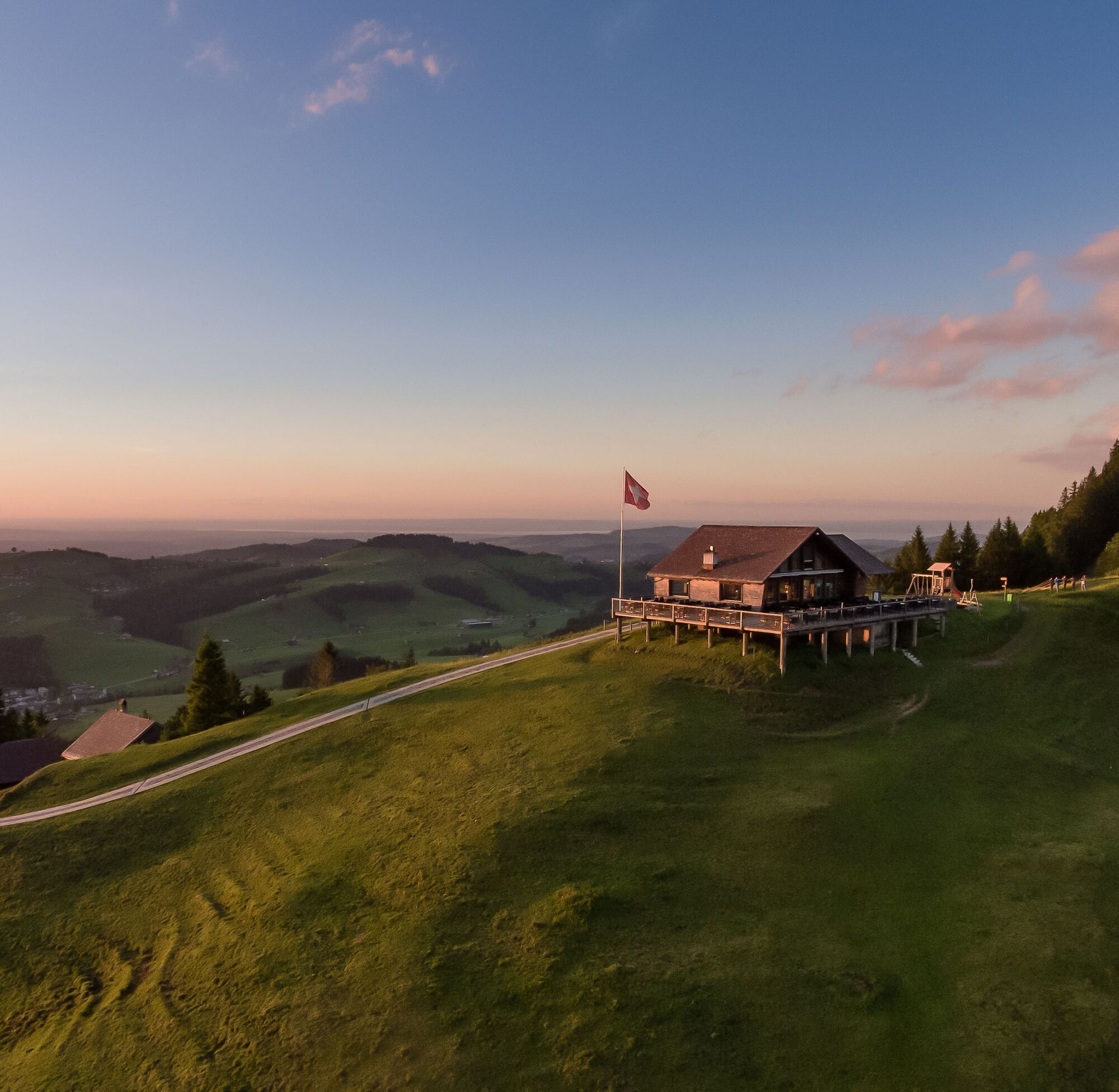
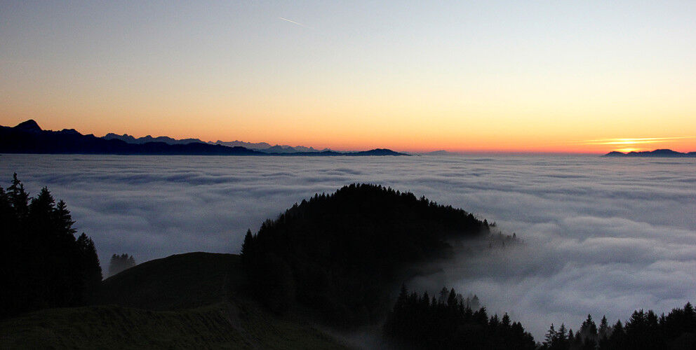
After the chairlift from Schönengrund to Hochhamm was decommissioned in 1995, the mountain somewhat fell into oblivion. However, with its magnificent view over the rolling hills of Appenzell and the Alpstein...
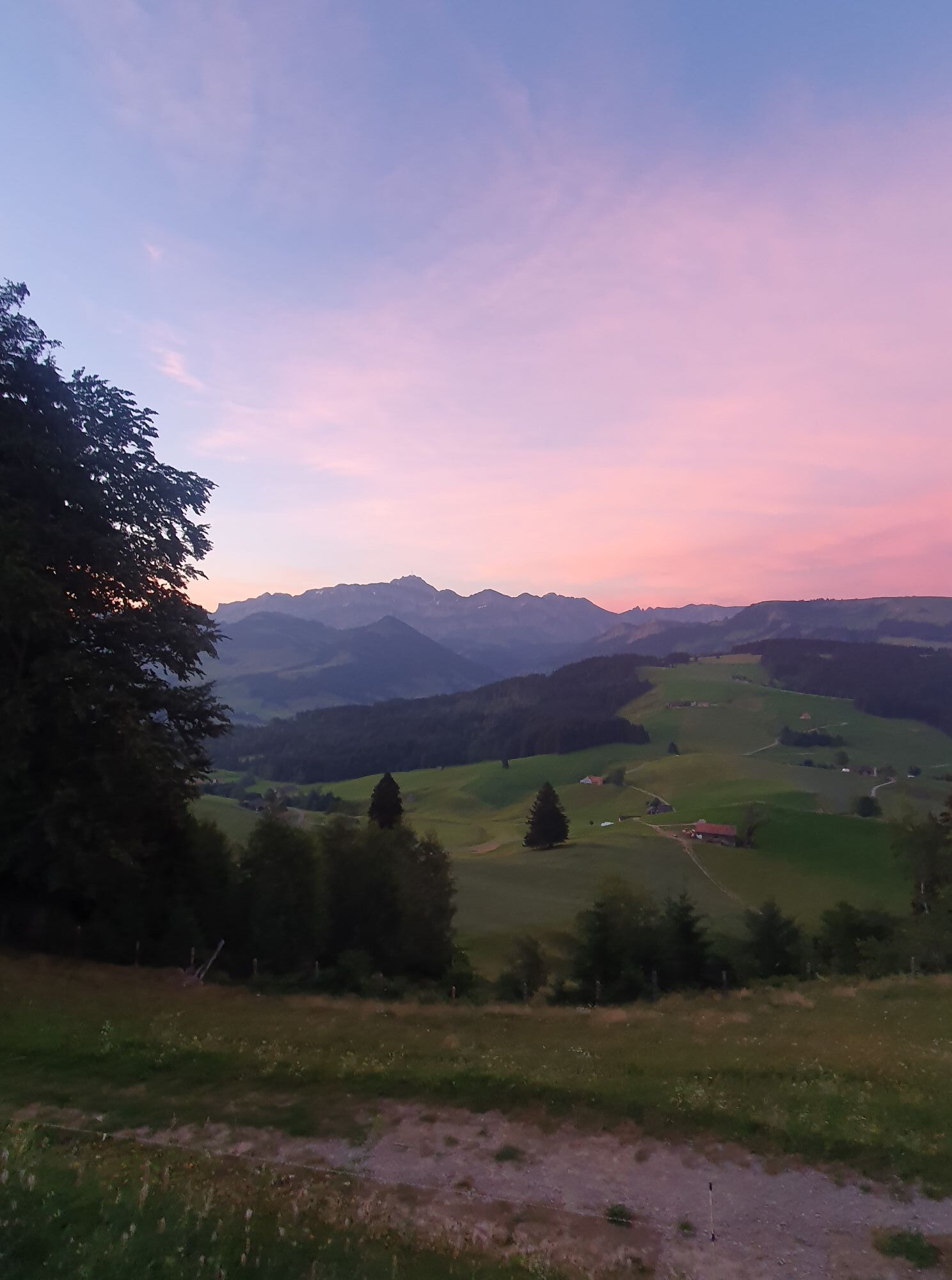
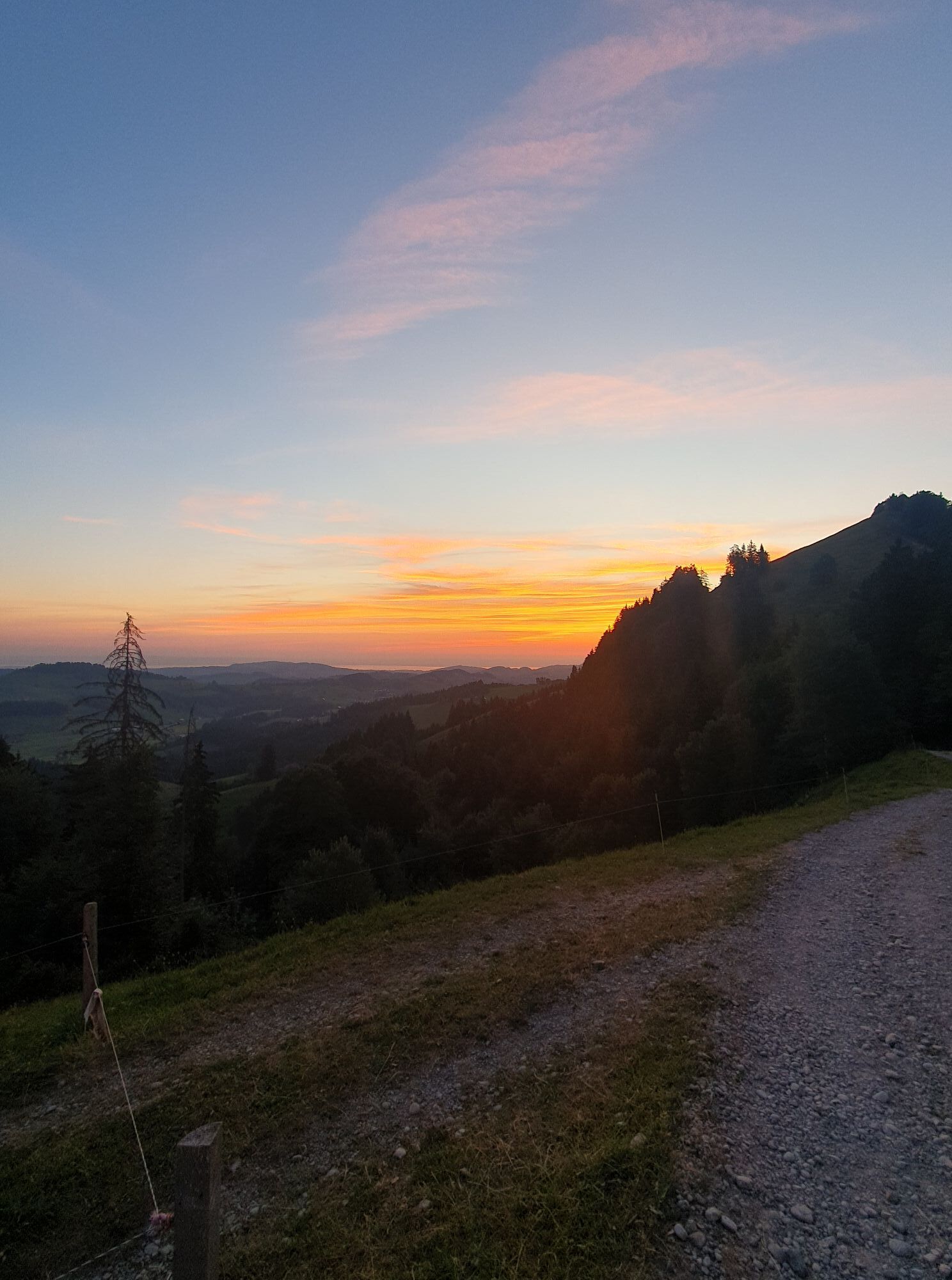
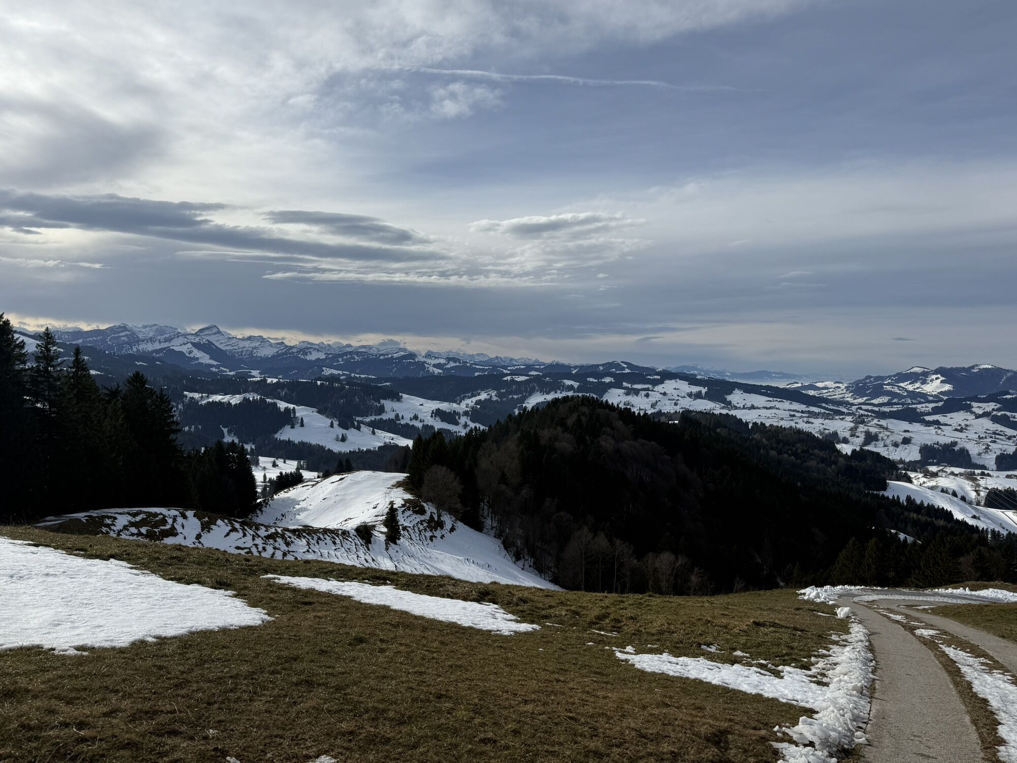
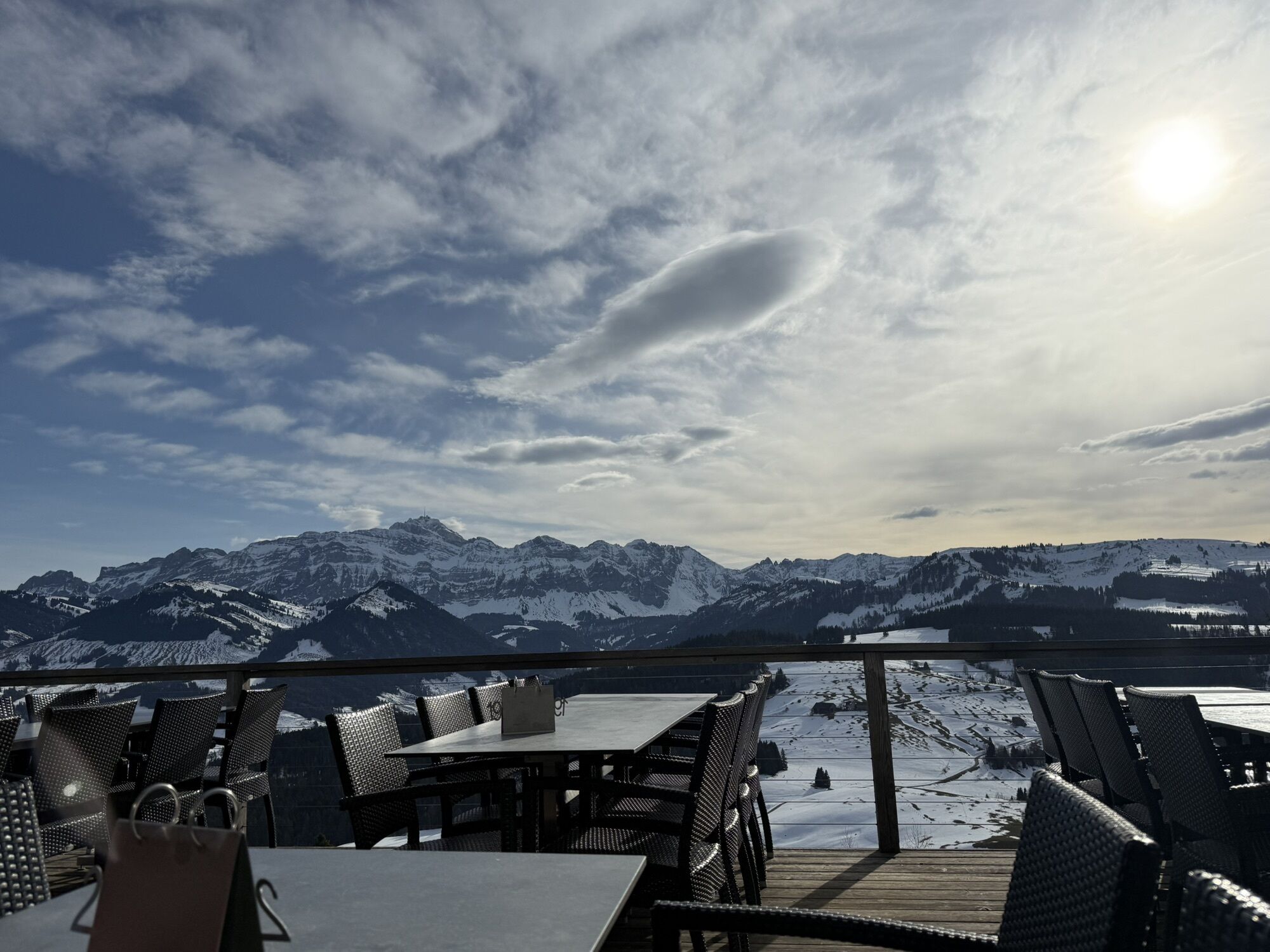
After the chairlift from Schönengrund to Hochhamm was decommissioned in 1995, the mountain somewhat fell into oblivion. However, with its magnificent view over the rolling hills of Appenzell and the Alpstein massif, the destination has not lost its charm. On clear days, you can even see Lake Constance. The Hochhamm mountain inn invites you to linger with a large viewing terrace. Fire pits just below Hochhamm provide wonderful resting places for families.


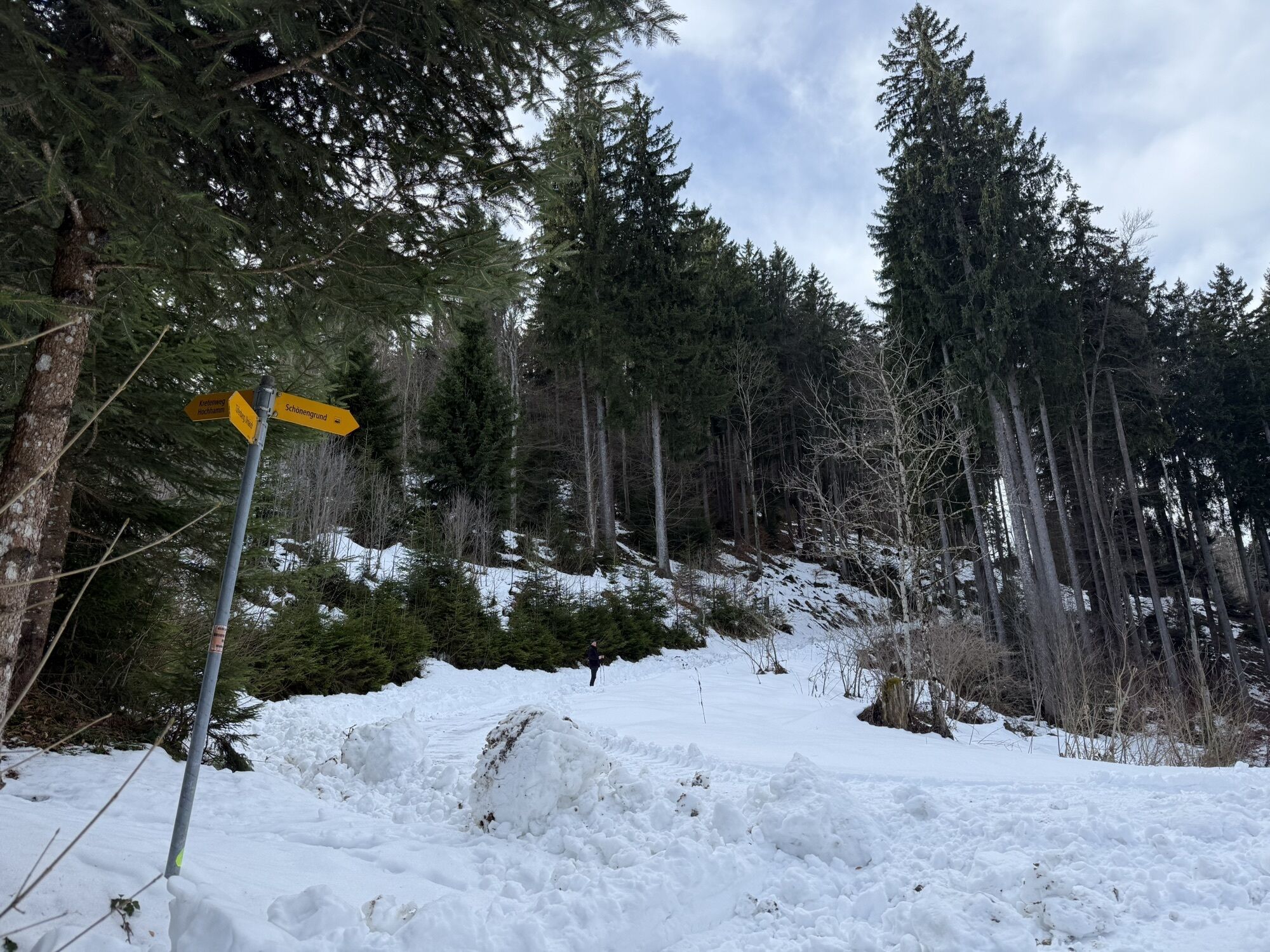
The route starts in the direction of Schönengrund village. After the small bridge over the Tüfenbach, turn left to Kugelmoos. At the end of the road, the hiking trail leads over the meadow through Wolfenschwende to the Blatten farm. Then follow a short section along the road towards Tüfenberg, Urnäsch. After about 350 meters, turn left to reach Tüfenberg via Fuchsstein. From there, the hiking trail leads over a short meadow section into the forest and along the forest edge to the Hochhamm mountain inn. After a well-deserved break, follow the hiking trail towards Bächli. At Chäseren, turn left to go through the pine forest over Freienbühl to Mühletobel. From there, the hiking trail leads back to Schönengrund, returning to the starting point.
Day hiking backpack (approx. 20 liters) with rain cover, sturdy and comfortable footwear, weather-appropriate and durable clothing in a layering system, possibly telescopic poles, sun and rain protection, provisions and drinking water, first-aid kit, pocket knife, mobile phone, possibly headlamp, map material
From Wil, you reach Schönengrund via Lütisburg, Ganterschwil, Necker and St. Peterzell.
From St. Gallen, take the St. Gallen Winkeln motorway exit and follow the road via Waldstatt to Herisau.
By train to Herisau or Brunnadern-Neckertal, then by postbus to the stop "Schönengrund village".
There are plenty of free parking spaces available at the MZA in Schönengrund.
Toggenburg Tourism
Hauptstrasse 104
9658 Wildhaus
Tel: +41 71 999 99 11
A diverse wine cellar in the mountain inn offers something for every taste.
Pridobite vpogled Vedno v živo na mestu z več kot 9.500 spletnimi kamerami. bergfex Kot uporabnik Pro si lahko zdaj ogledate ustrezne spletne kamere za številne izlete v aplikaciji izleti iz. Tako si lahko neposredno ogledate trenutne razmere. Priljubljeni izleti v okolici
- 4,6
Wasserauen - Seealpsee - Wasserauen
srednjaPohodništvo 7,71 km - 4,9
Säntis-Gipfeltour, Wasserauen / Appenzell Innerrhoden
težkoPohodništvo 21,1 km - 4,9
Schwende, Appenzell Innerrhoden
srednjaPohodništvo 11,8 km - 4,6
Schwägalp - Berggasthaus Tierwies - Girenspitz - Säntis
težkoPohodništvo 4,83 km - 4,7
Säntis
srednjaGorski pohodništvo 17,5 km - 4,8
Mountain route over Rotsteinpass to Säntis
težkoPohodništvo 8,53 km - 5,0
Schäfler Waldkirchli Seealpsee Wasserauen
srednjaPohodništvo 12,7 km - 4,7
Jakobsbad - Berggasthaus Kronberg und Bergstation - Kronberg - Restaurant Scheidegg
srednjaPohodništvo 12,0 km - 3,0
Ebenalb, Aescher, Seealpsee, Meglisalp, Wasserauen
težkoPohodništvo 13,6 km - 4,8
Wasserauen - Bommenalp - Aescher - Wildkirchli - Bergstation Ebenalp - Wasserauen
srednjaPohodništvo 4,82 km
Pohodništvo in sledenje


Ne zamudite ponudb in navdiha za naslednje počitnice
Vaš e-poštni naslov je bil dodan na poštni seznam.





