







Schleitheimer Randenturm
Because there were already significant settlements there during Roman times. At Salzbrunnehof you will find the interesting, publicly accessible Juliomagus Thermal Museum. The Gypsum Museum in the Schleitheim...
Because there were already significant settlements there during Roman times. At Salzbrunnehof you will find the interesting, publicly accessible Juliomagus Thermal Museum. The Gypsum Museum in the Schleitheim gypsum mine is a thrilling underground experience.
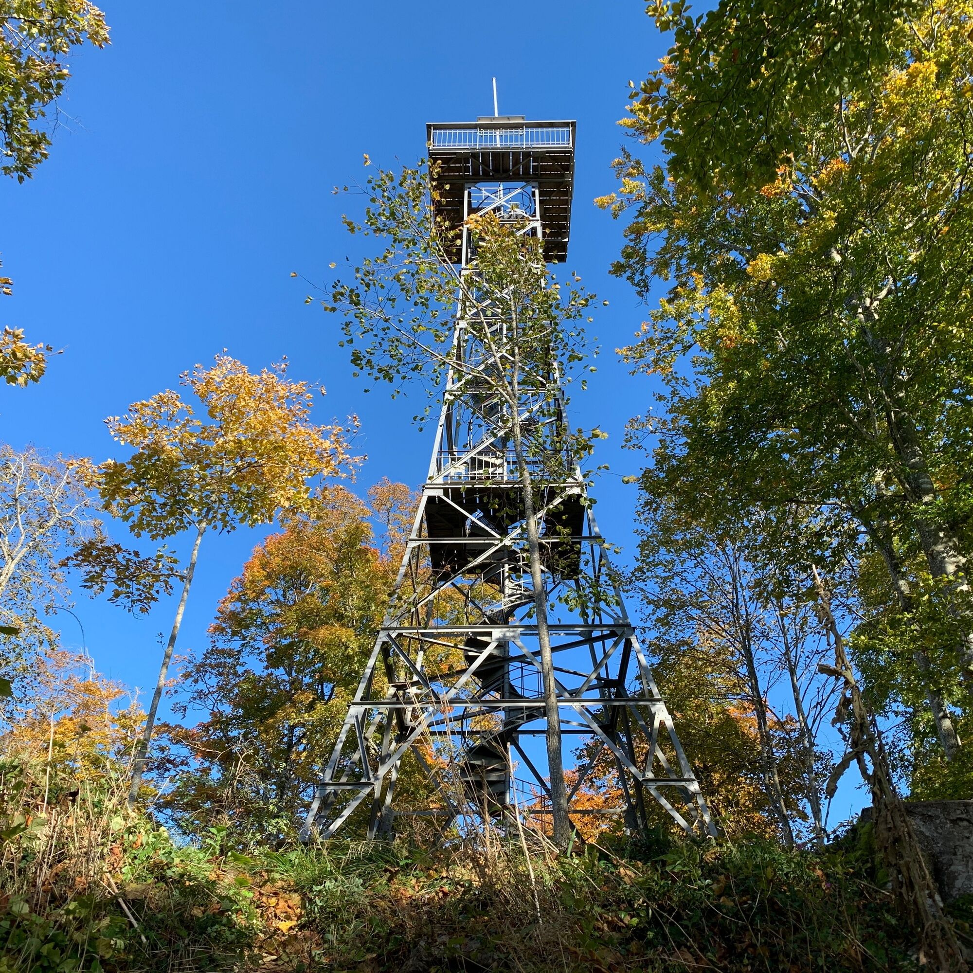
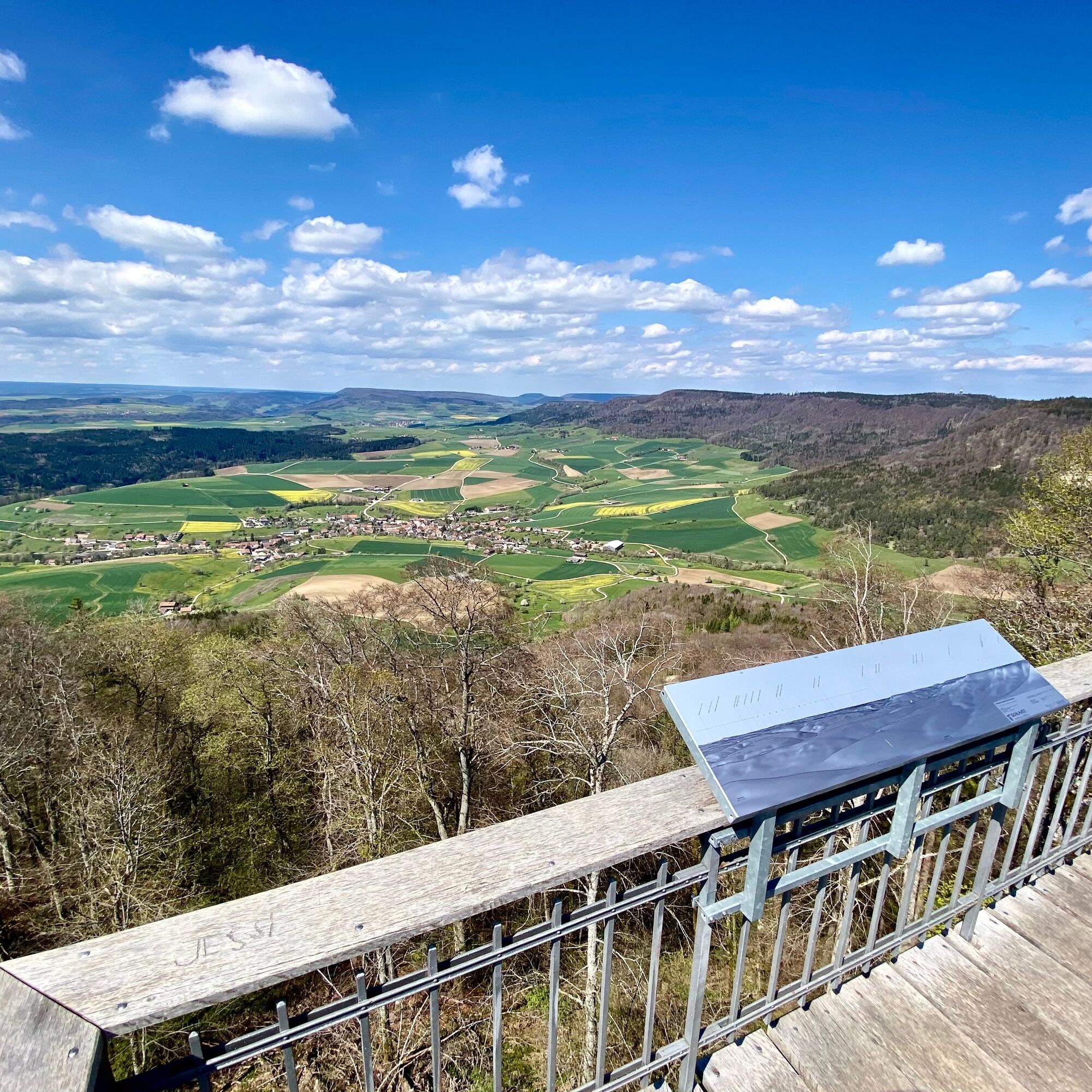
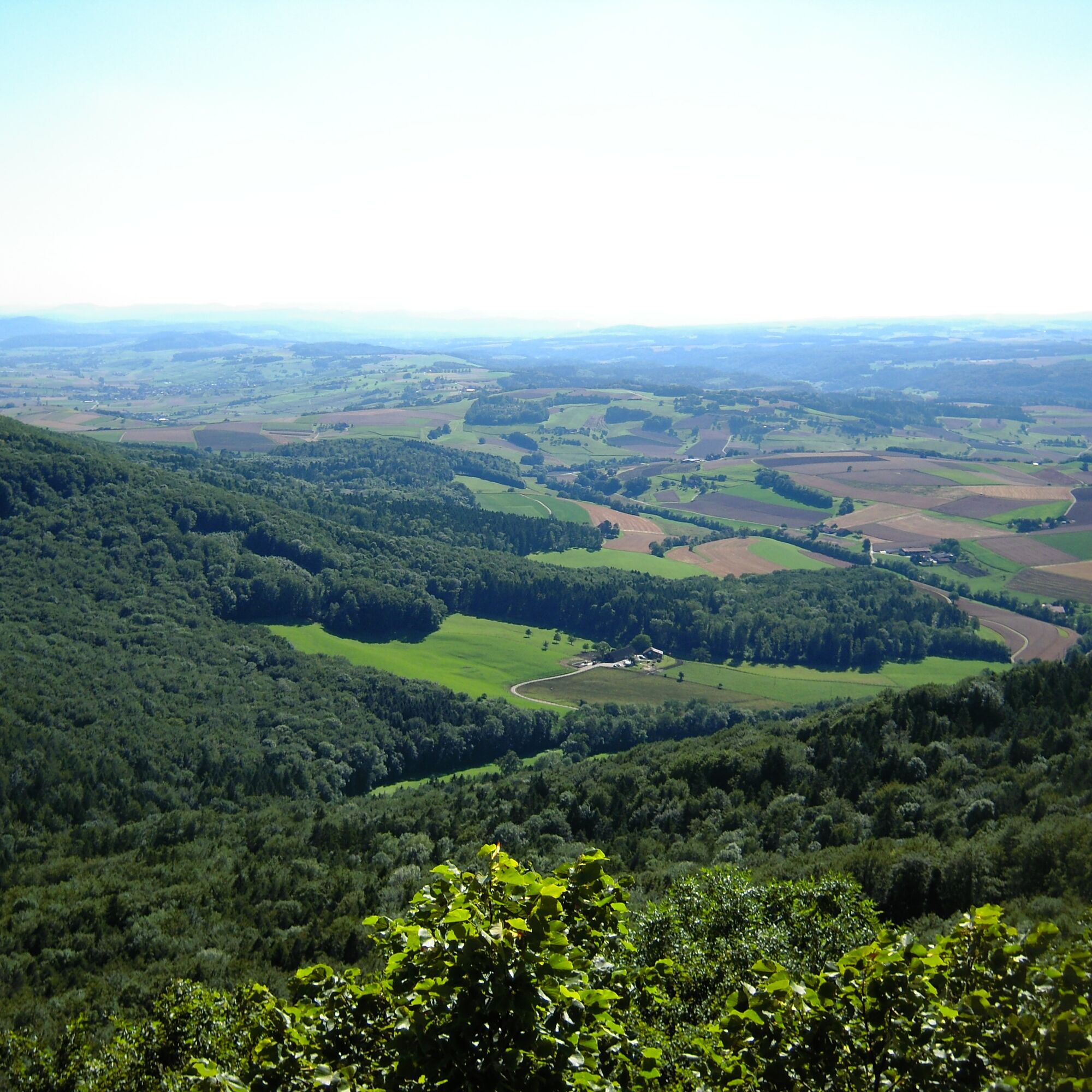
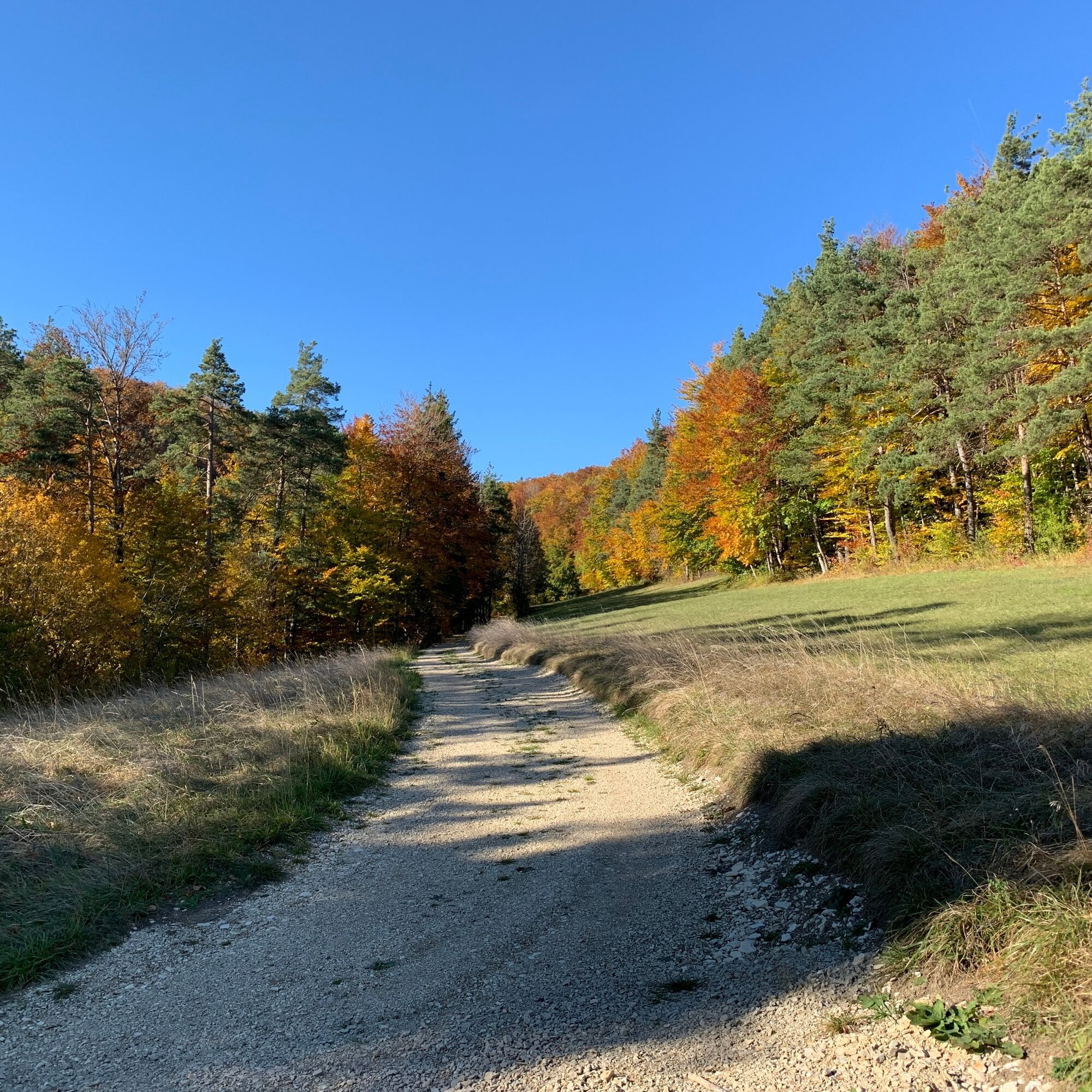
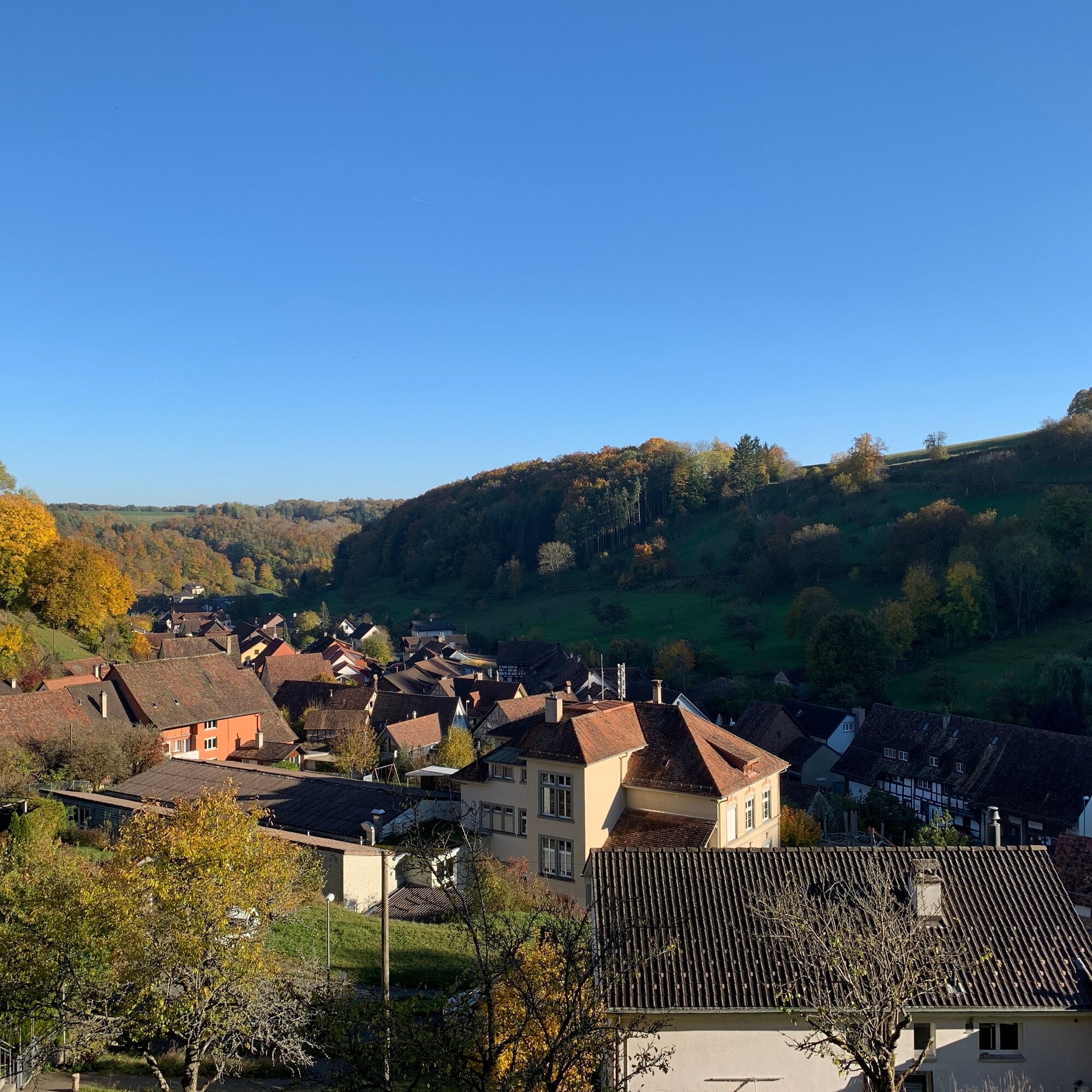
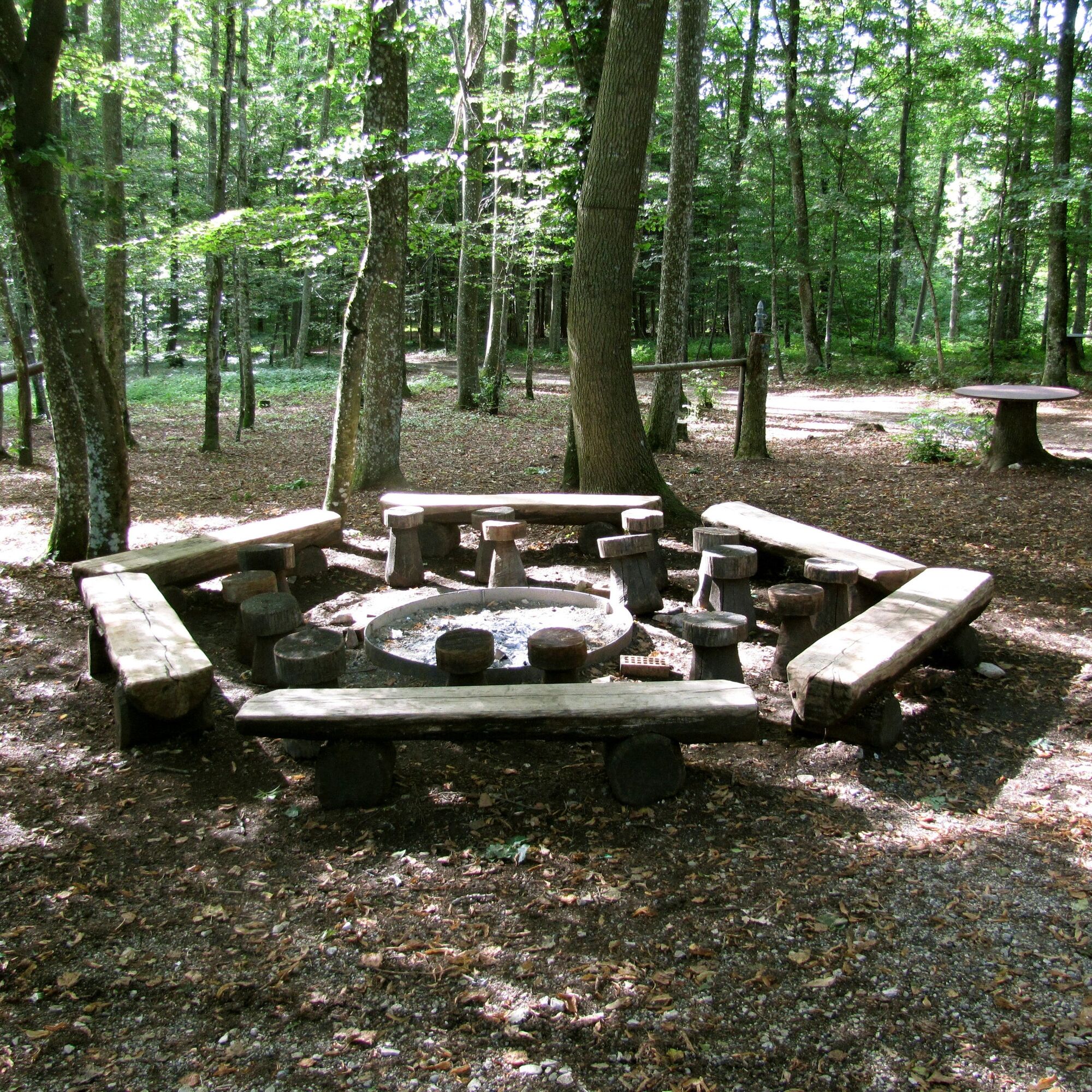
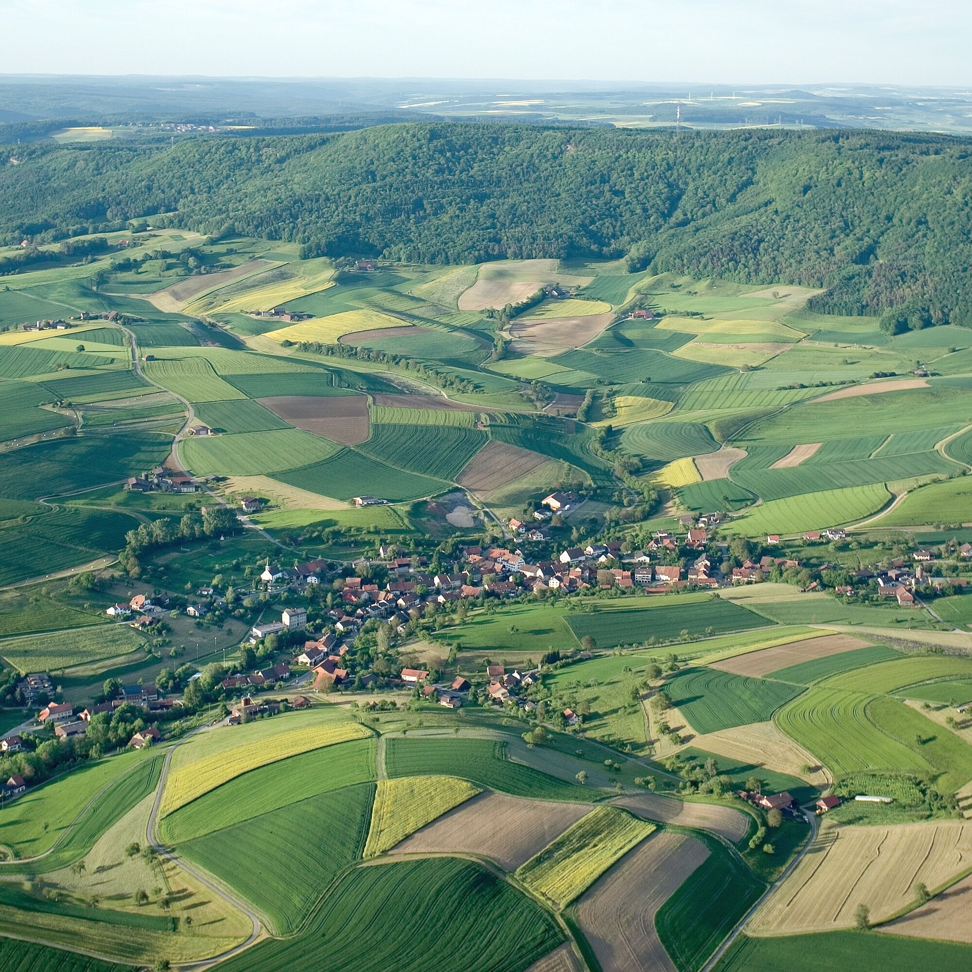
The Schaffhausen bus takes you from Schaffhausen station to Schleitheim. From there, a hiking trail follows the village brook, alive with ducks, towards Strickhof. You leave the village and reach the steeply ascending forest section to the Randenburg ruin and the Schleitheimer Randenturm. Those who climb its steps enjoy a beautiful view over the Randen area and the Black Forest. Over the Schlossranden you then reach the large forest and play meadow of Zelgli with its fire pits. You can extend the hike to the Siblinger Randenhus, where you will find another catering option. You can then start the descent to the bus stop in Hemmental, a typical Randen village, feeling refreshed and strengthened.


Schleitheim - Strickhof - Randenburg ruin - Schleitheimer Randenturm - Schlossranden - Zelgli - Siblinger Randenhus - Hemmental - Schaffhausen station.
From the bus stop
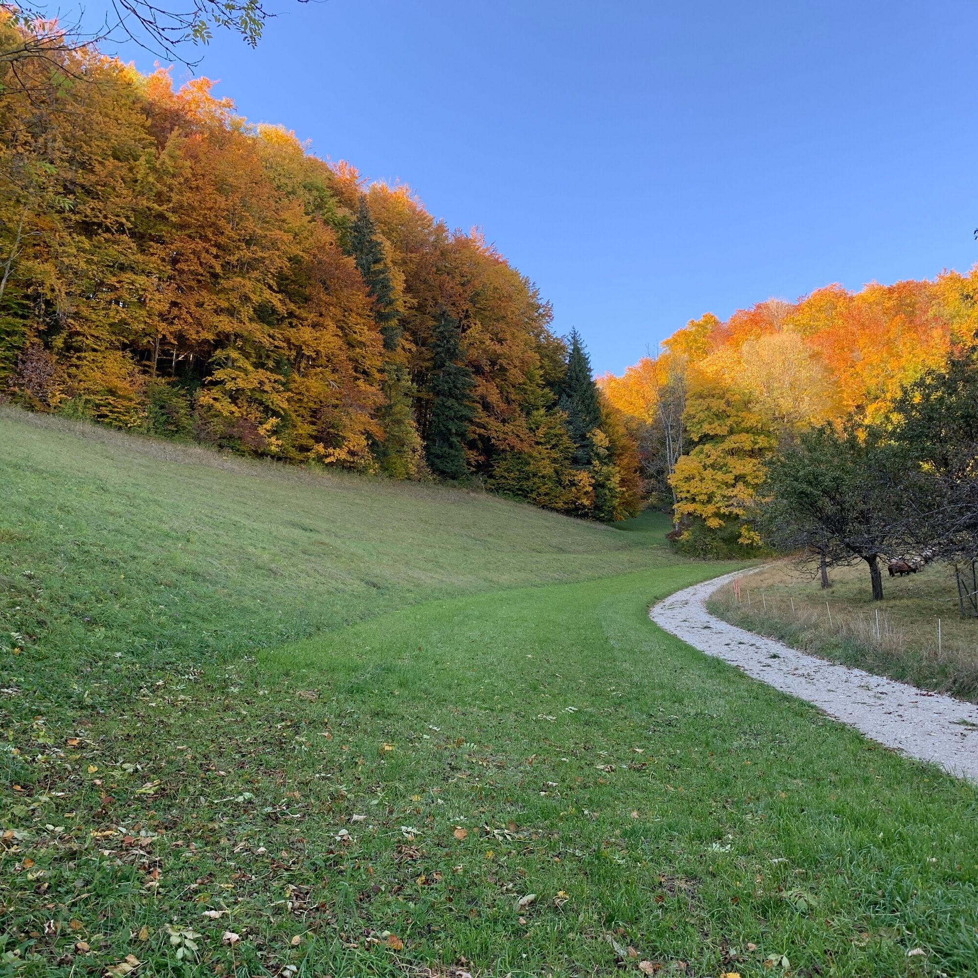
Start your hike at the Schleitheim Poststrasse bus stop. From there, cross the small bridge over the village brook and follow Adlerstrasse east until you reach the main road. Turn right and go onto the Klettgau-Rhein Trail / Randenstrasse. At the second opportunity, turn right onto "Chilcheraa" and follow the fork left onto "Luckete." This path leads you out of the village past fields to Strickhof. Walk straight past Strickhof and turn right before the forest, then follow the path. After about 500 m, a path leads left towards the forest. Follow this until you reach a junction in the forest. Here turn right and follow the forest path upwards until you reach the Schleitheimer Randenturm. Now you have to climb a few steps and enjoy the view from the tower. Just below the tower, a forest inn awaits for the first break. The hiking trail then continues towards Siblingen, past the Zelgli barbecue area. At the junction, follow the hiking trails towards Siblinger Randenhaus. Once there, a break on the beautiful terrace with views up to the Alps is worthwhile. Where you just came out of the forest, turn directly left back into the forest. Follow the hiking trail, which is also part of the Way of St. James. After a short time, you emerge from the forest and continue along it until you reach a larger fork. Take the path to your left. Here the path leads down to the destination in the Randen village Hemmental.
good footwear
Climb up the Schleitheimer Randenturm and enjoy the view.
Start the hike in Hemmental and end in Schleitheim.
Pridobite vpogled Vedno v živo na mestu z več kot 9.500 spletnimi kamerami. bergfex Kot uporabnik Pro si lahko zdaj ogledate ustrezne spletne kamere za številne izlete v aplikaciji izleti iz. Tako si lahko neposredno ogledate trenutne razmere. Priljubljeni izleti v okolici
- 4.7
Small Rheinfall Circular Route
svetlobaPohodništvo 3.48 km - 4.8
Rundwanderweg Rheinau
svetlobaPohodništvo 6.85 km - 3.3
"Hegauer Kegelspiel" Wannenberg hike
srednjaPohodništvo 9.35 km Circular hike Schaffhausen - Rhine Falls - Schaffhausen
srednjaPohodništvo 10.0 km- 5.0
Circular hike over the Hinterranden
srednjaPohodništvo 11.0 km SwitzerlandMobility 896: Rhine Falls Circular Route
srednjaPohodništvo 7.39 km- 4.5
Nature trail Merishausen: Brown route
srednjaTematska pot 11.4 km - 4.5
SchweizMobil 593: Nordspitze Panoramaweg
srednjaPohodništvo 13.7 km - 4.0
Stein am Rhein – Schaffhausen round route
srednjaKolesarjenje 39.9 km - 4.3
Kath. Kirche - Gasthaus Wutachschlucht - Buchberg - Gasthaus Schattenmühle
srednjaPohodništvo v daljavo 39.1 km
Pohodništvo in sledenje


Ne zamudite ponudb in navdiha za naslednje počitnice
Vaš e-poštni naslov je bil dodan na poštni seznam.





