


Hike to the highest point of Schaffhausen
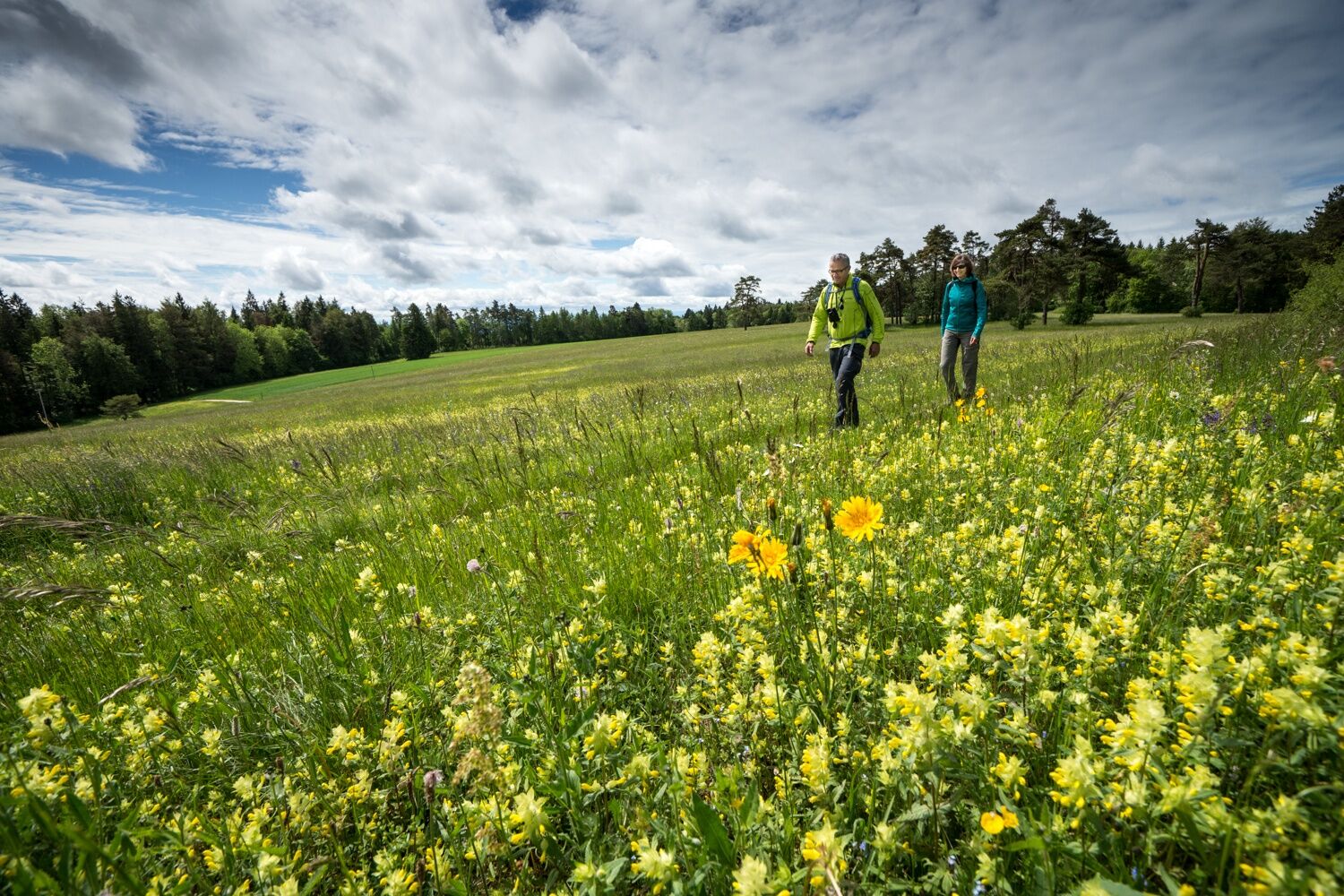
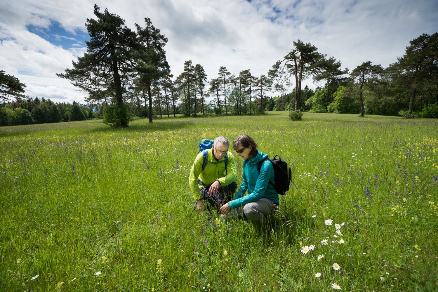
The region around Merishausen is known for its very rare and beautiful fauna and flora. Nature lovers enjoy many wild blooming and fern plants. This circular hike reveals the full richness of the Randen....
The region around Merishausen is known for its very rare and beautiful fauna and flora. Nature lovers enjoy many wild blooming and fern plants. This circular hike reveals the full richness of the Randen. The highlight of this hike is the Hagenturm, the highest point of Schaffhausen. In good weather you will have a great view over the region.
Both villages have places to stop for refreshments.
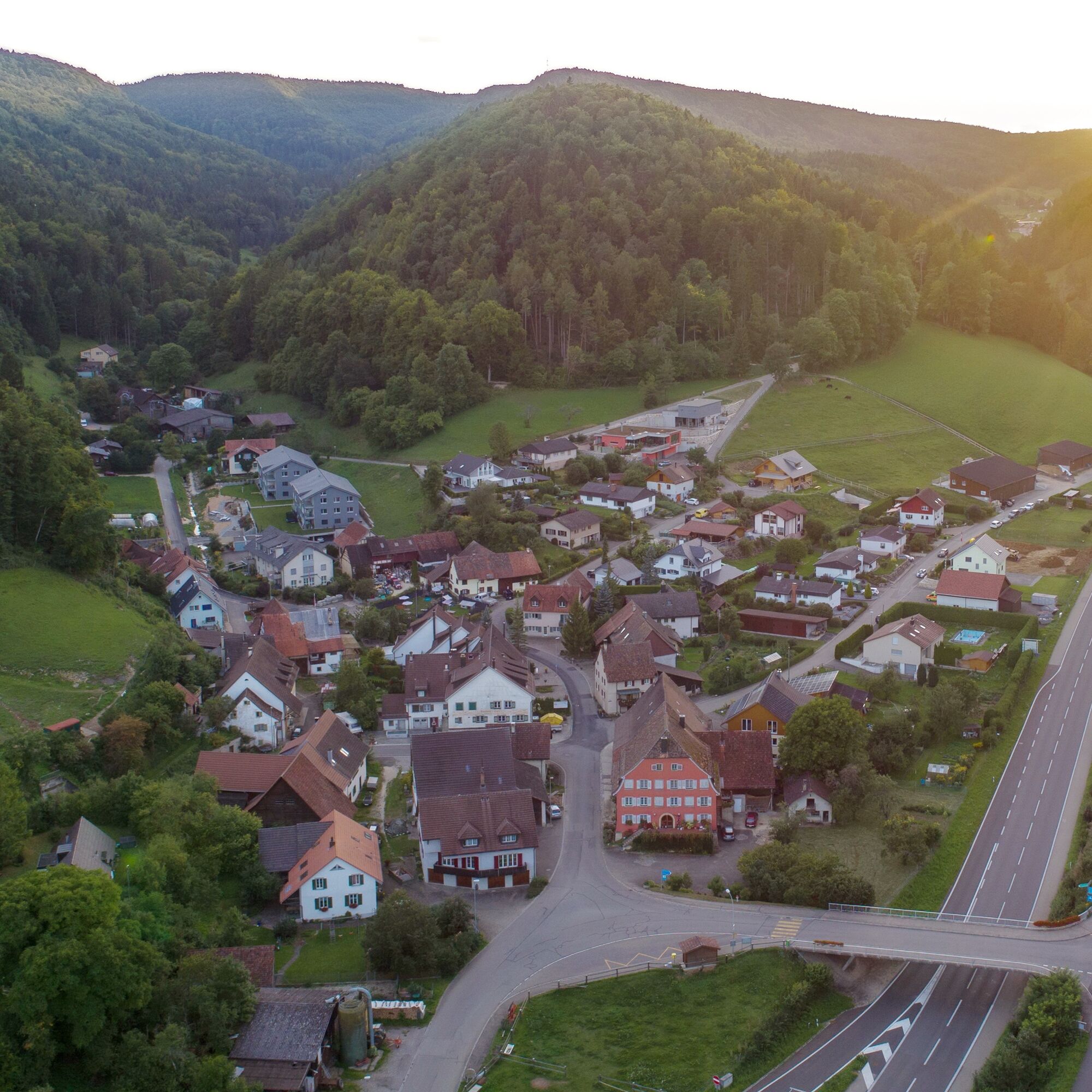
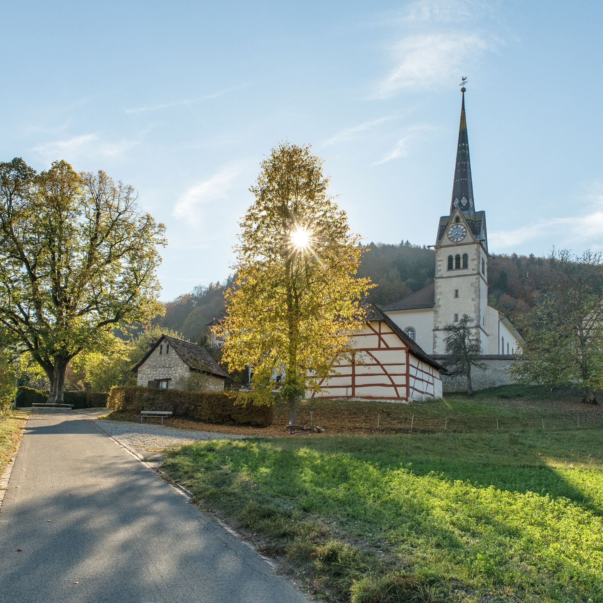
The starting point of the hike is the parking lot below the church in the municipality of Merishausen.
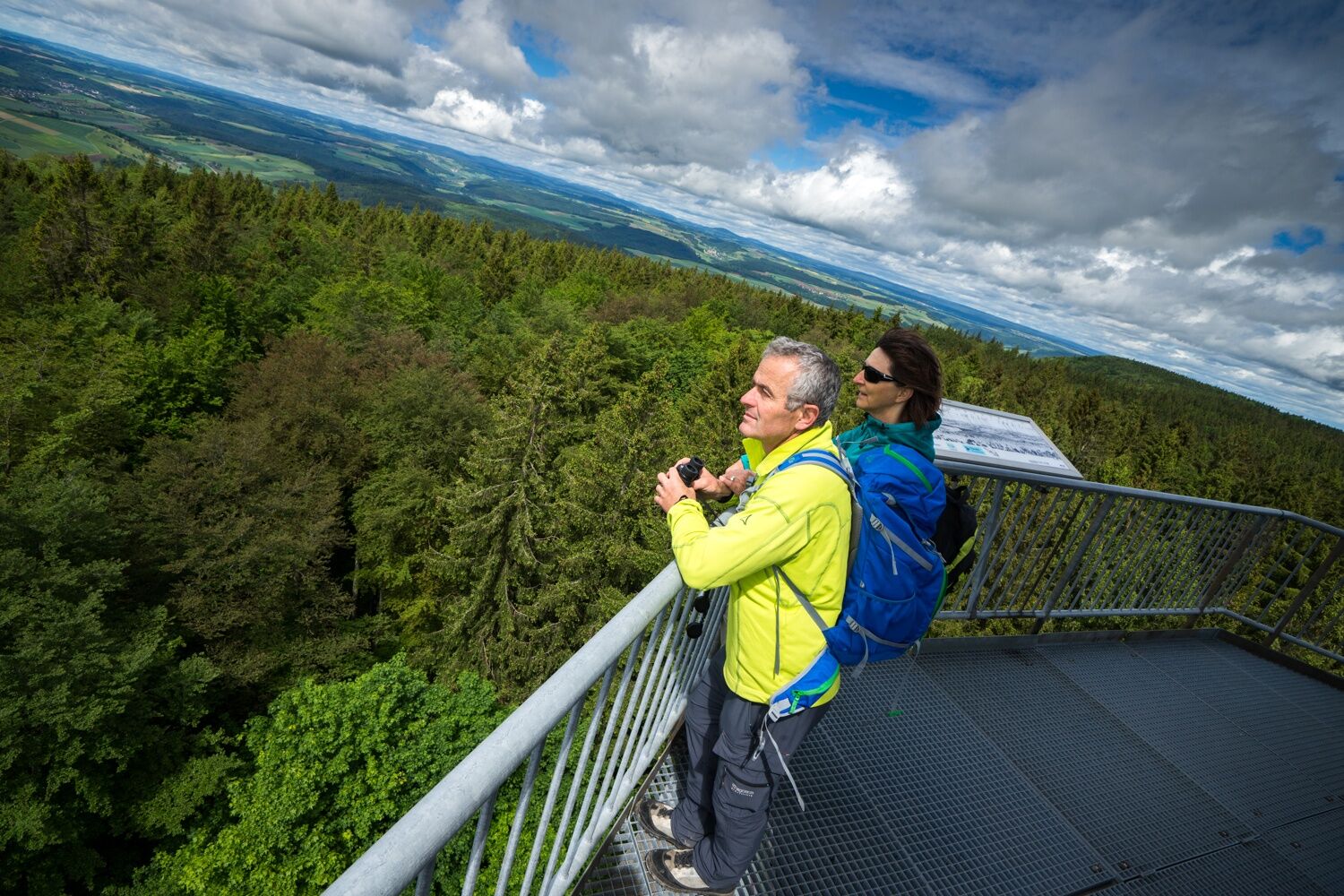
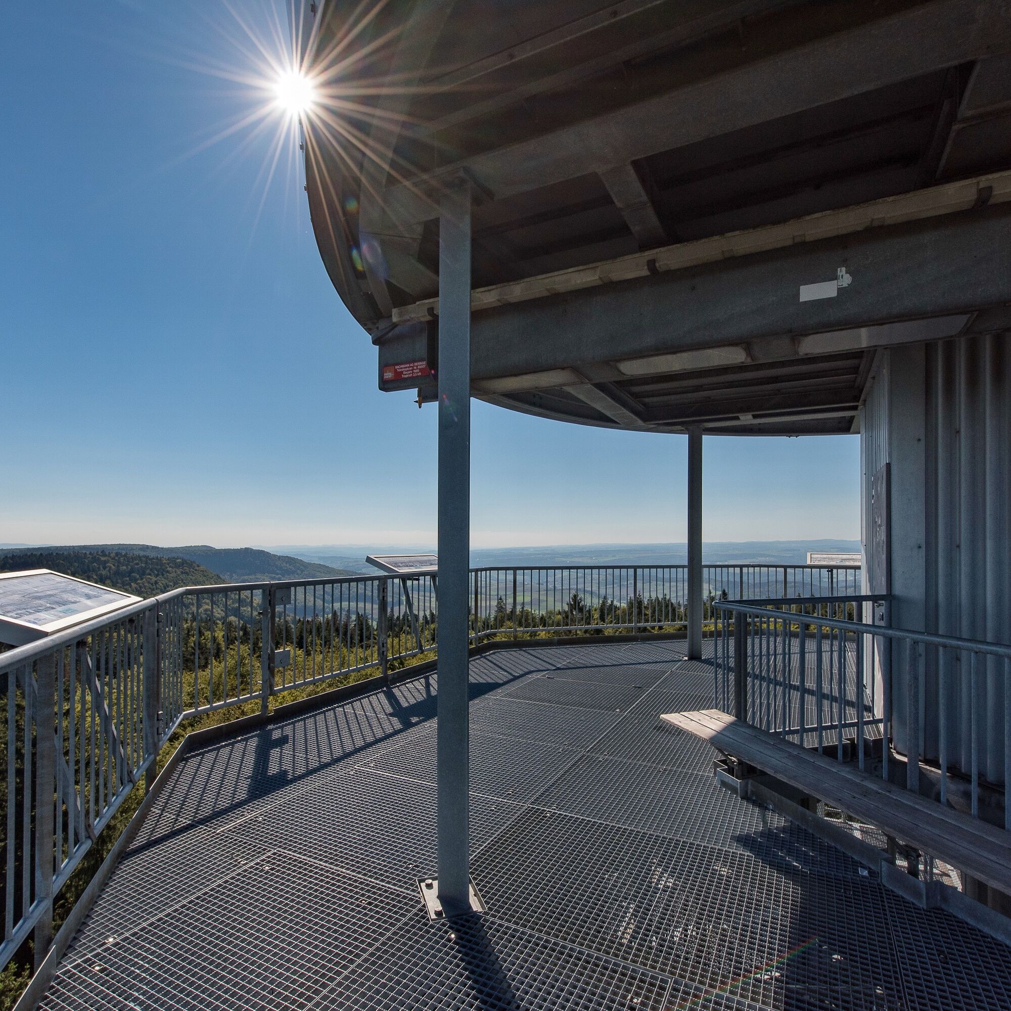
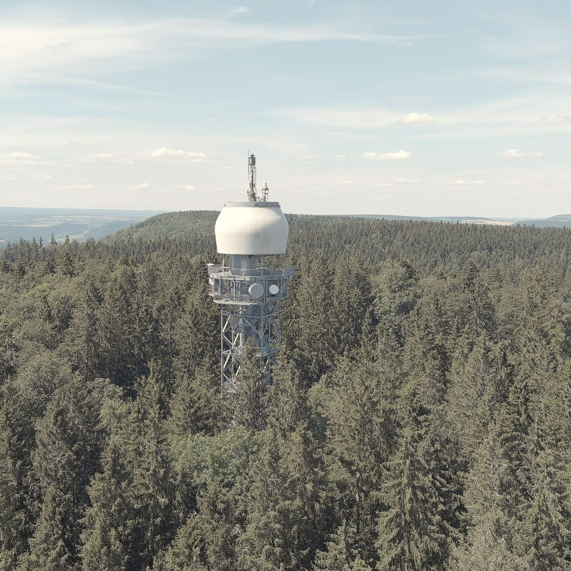
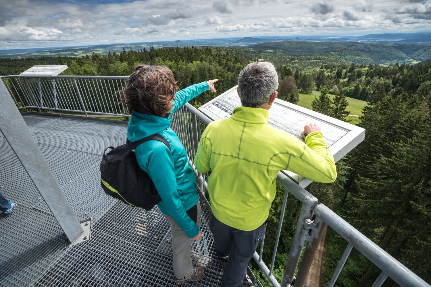
The ascent up to the Randen plateau to the Hagenturm is partly quite steep. The view from the Hagenturm far into the Swiss Midland is something you have to earn.
The current tower stands at 908.5 meters above sea level on the highest point of the canton of Schaffhausen and replaced an earlier tower that was built for surveying purposes at the time.
Especially in winter, you have the opportunity here to escape the fog and enjoy the panoramic view in the sun. On the viewing platform with its 360-degree view there are seating areas and for explanation also four panorama panels. You reach it via 225 steps.
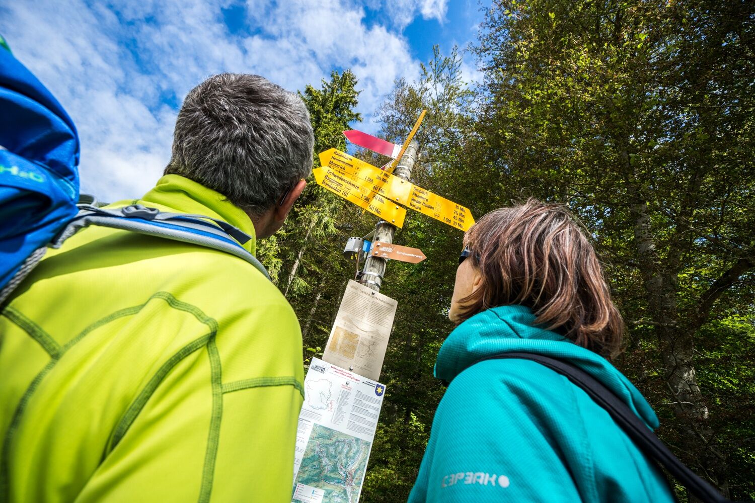
From the Hagenturm, the path continues along the Ättenberg towards the Iblen spring. Here the Durach springs, which makes its way through the valley to Schaffhausen and then flows into the Rhine.
Through the moist Mülital we then reach the destination Bargen, the northernmost municipality of Switzerland.
Good footwear, drinks, and snacks for in between.
Starting point: Church of St. Martin, Merishausen
Route planner
Starting point: Church of St. Martin, Merishausen
Bus stop: Merishausen Gemeindehaus, about a 5 minute walk to the starting point.
You can take the bus from Bargen back to Merishausen, duration: 5 min, connection: at least once per hour.
Large parking lot available at the starting point by the Church of St. Martin in Merishausen.
Pause at the Hagenturm and enjoy the breathtaking panoramic view Hagenturm
Priljubljeni izleti v okolici
-
4.7
Wutachschlucht Rundwanderung im Süd Schwarzwald
srednjaPohodništvo 9.76 km -
4.6
Small Rheinfall Circular Route
svetlobaPohodništvo 3.48 km -
4.8
Rundwanderweg Rheinau
svetlobaPohodništvo 6.85 km -
5.0
"Hegauer Kegelspiel" Stettener Panoramaweg
srednjaPohodništvo 7.62 km -
4.5
"Hegauer Kegelspiel" Alter Postweg
srednjaPohodništvo 9.26 km -
3.3
"Hegauer Kegelspiel" Wannenberg hike
srednjaPohodništvo 9.35 km -
5.0
Circular hike over the Hinterranden
srednjaPohodništvo 11.0 km -
Circular hike Schaffhausen - Rhine Falls - Schaffhausen
srednjaPohodništvo 10.0 km -
4.5
Nature trail Merishausen: Brown route
srednjaTematska pot 11.4 km -
4.5
SchweizMobil 593: Nordspitze Panoramaweg
srednjaPohodništvo 13.7 km

Pohodništvo in sledenje


Ne zamudite ponudb in navdiha za naslednje počitnice
Vaš e-poštni naslov je bil dodan na poštni seznam.