







Nature Park Wine Country Route

Stopnja težavnosti: 3
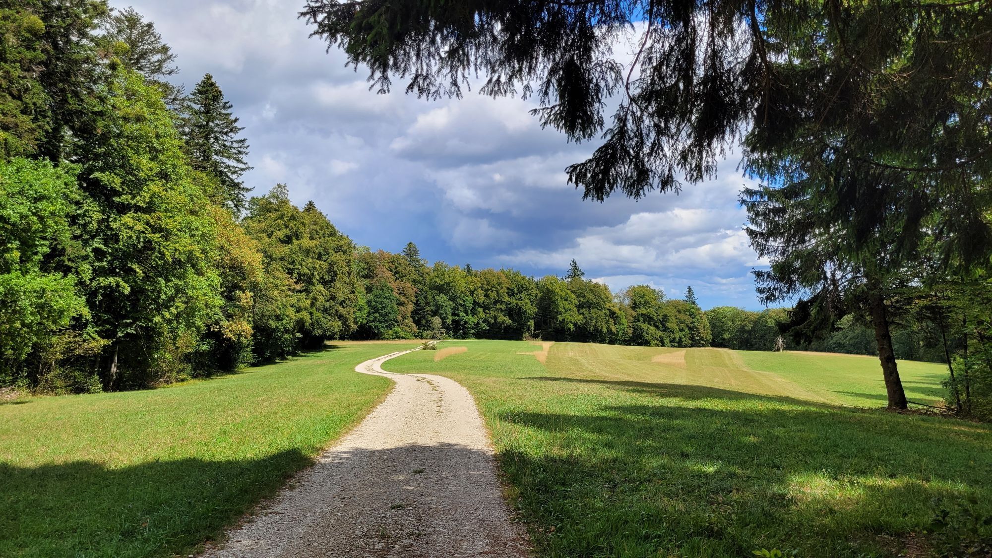
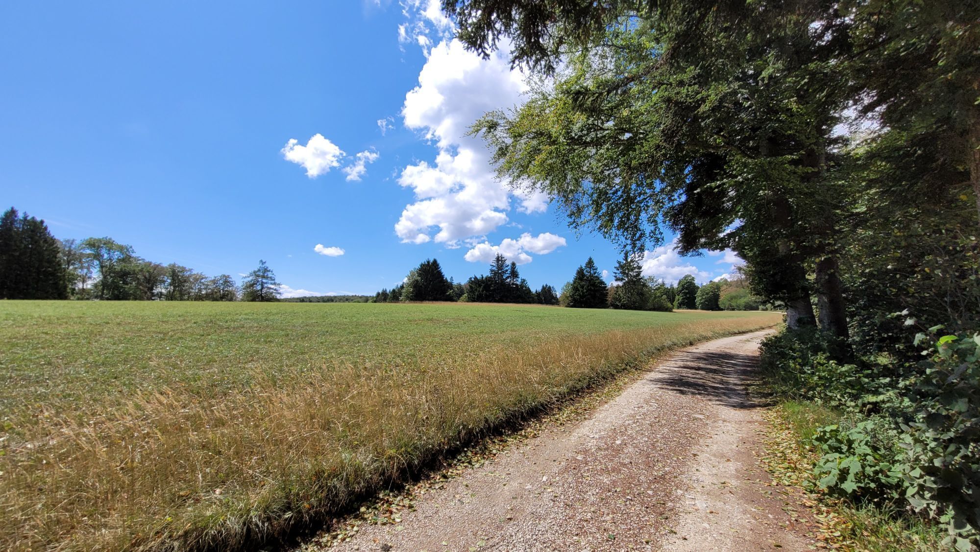
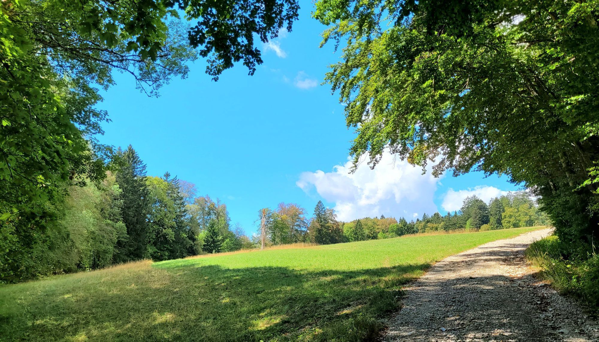
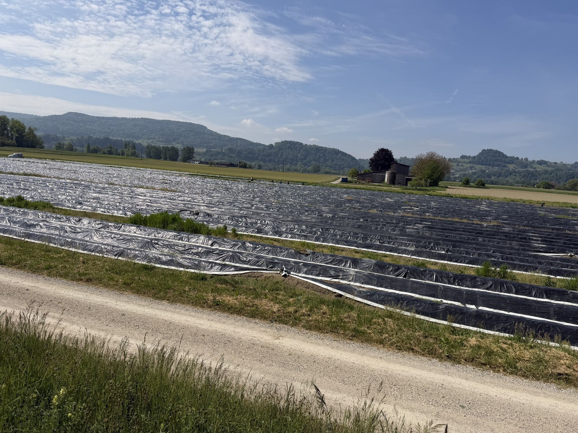
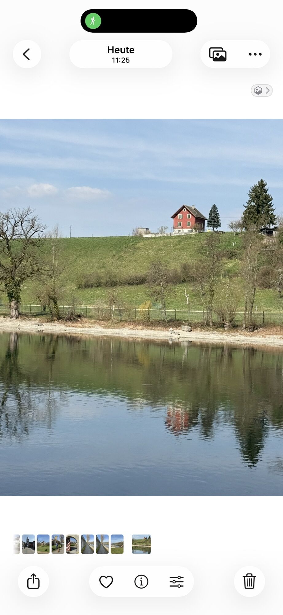
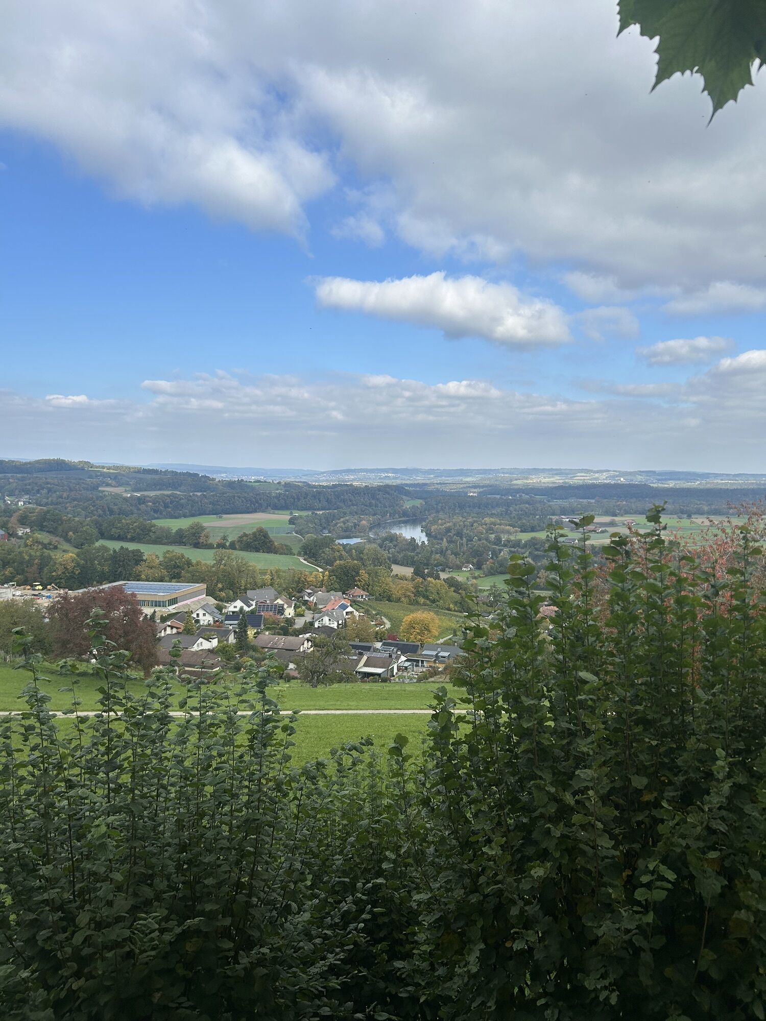
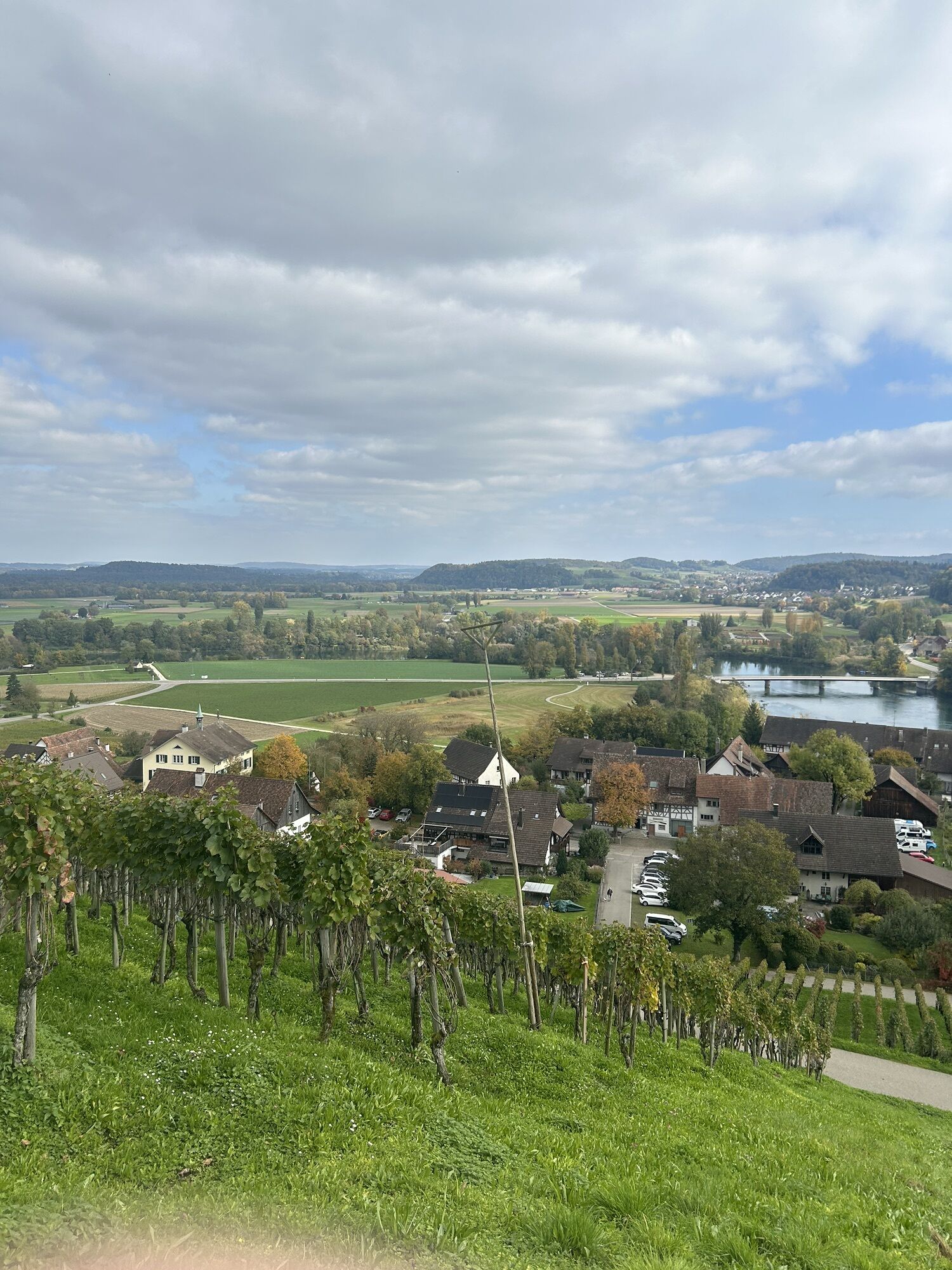
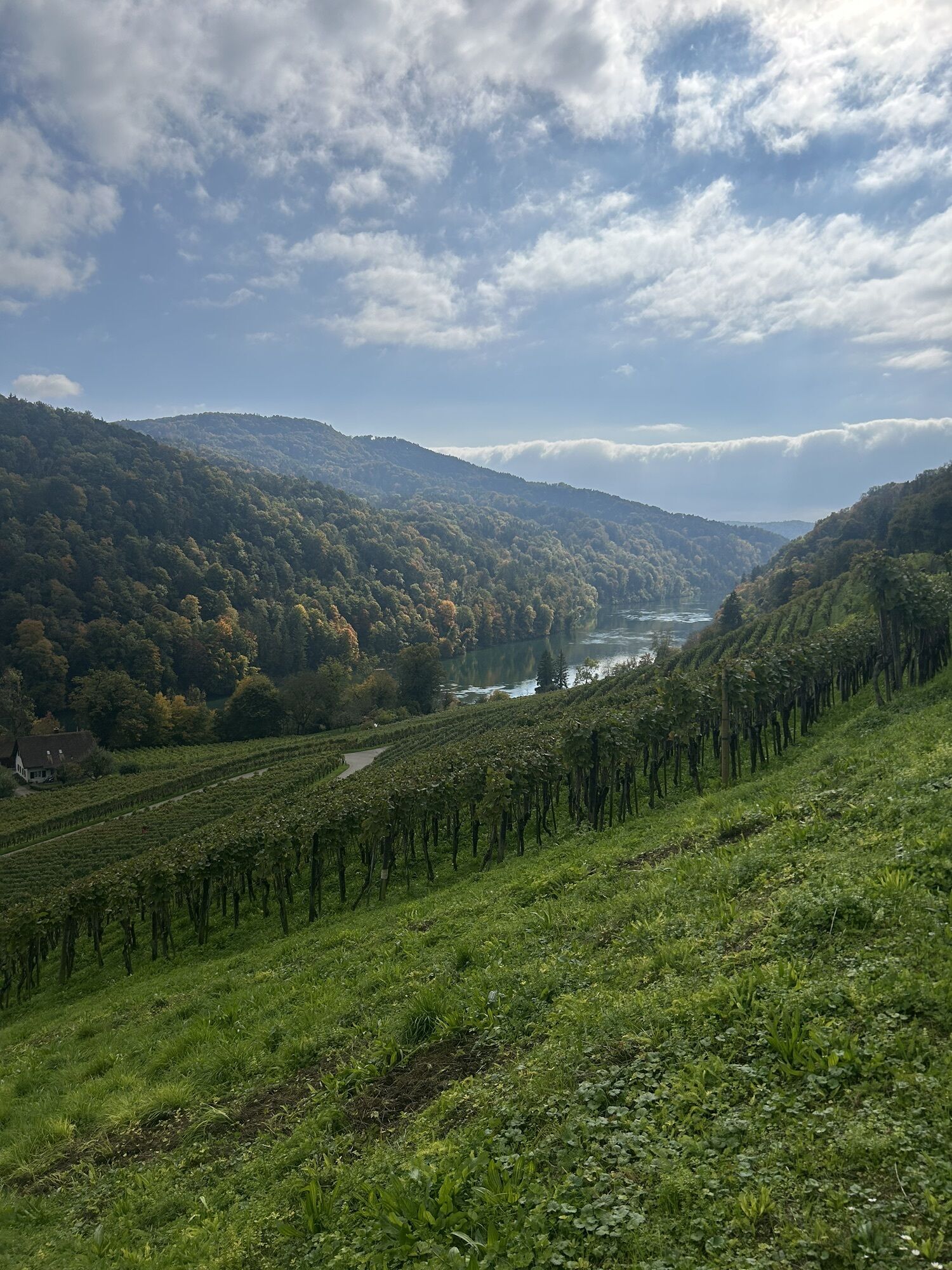
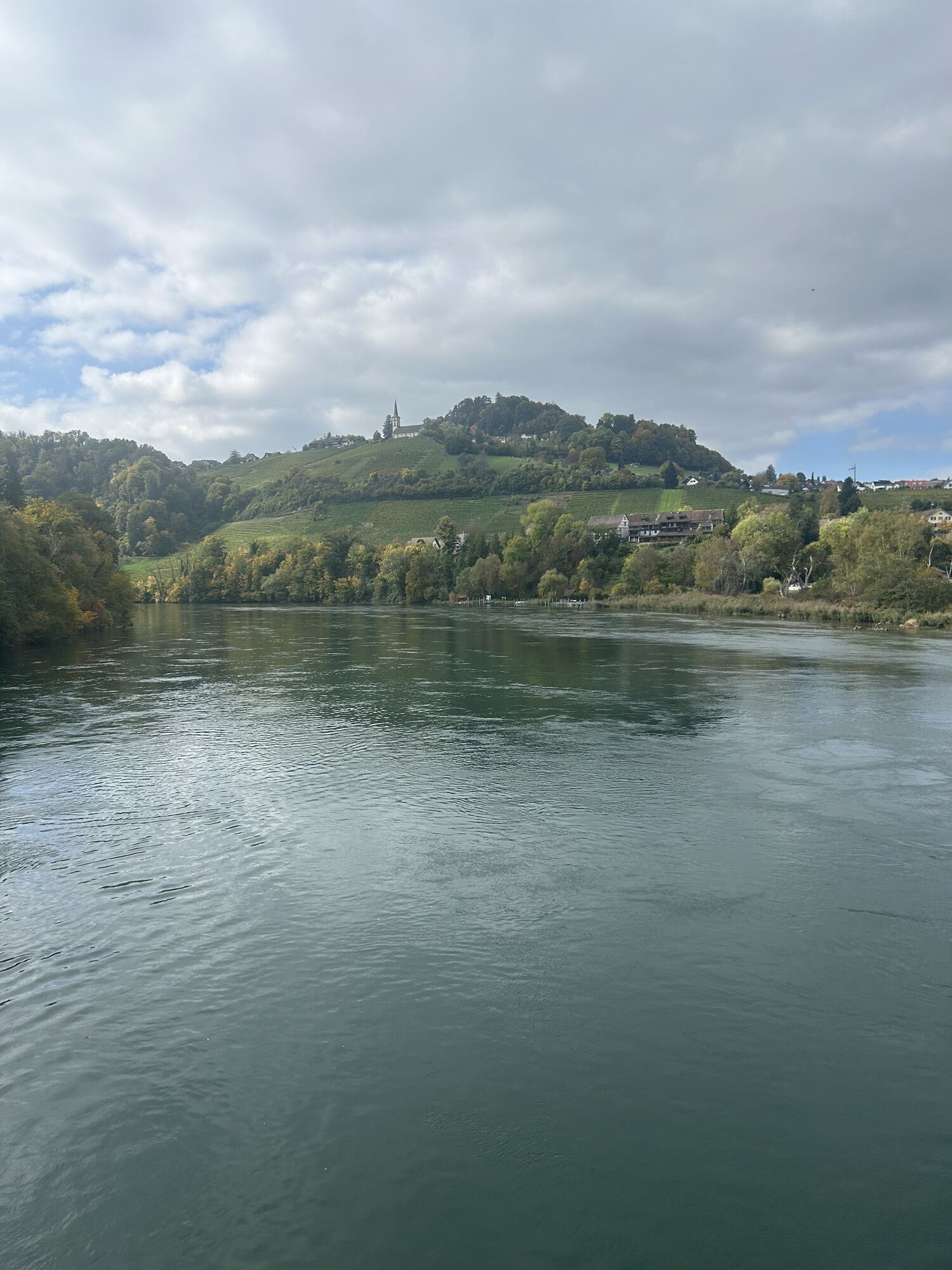
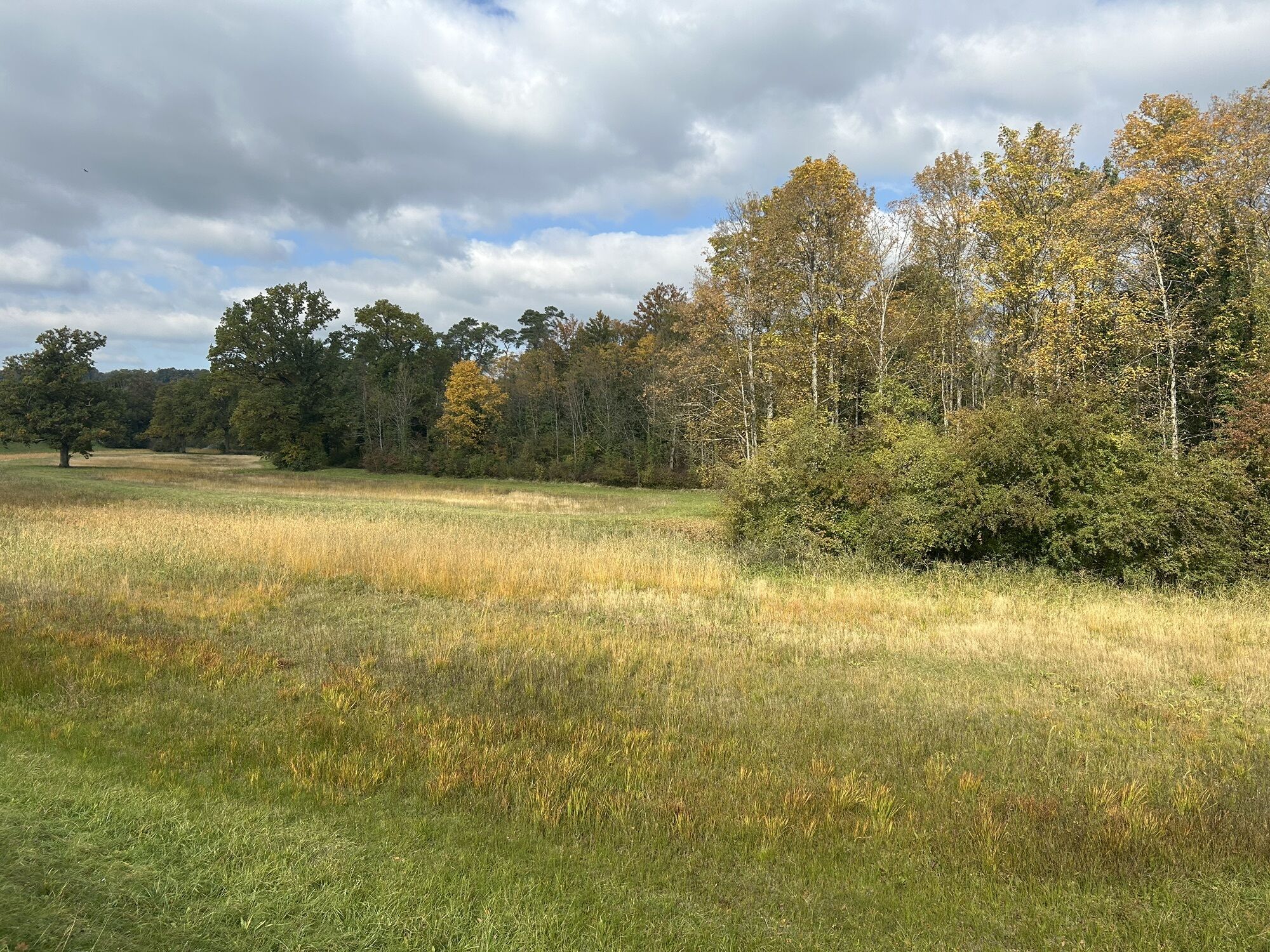
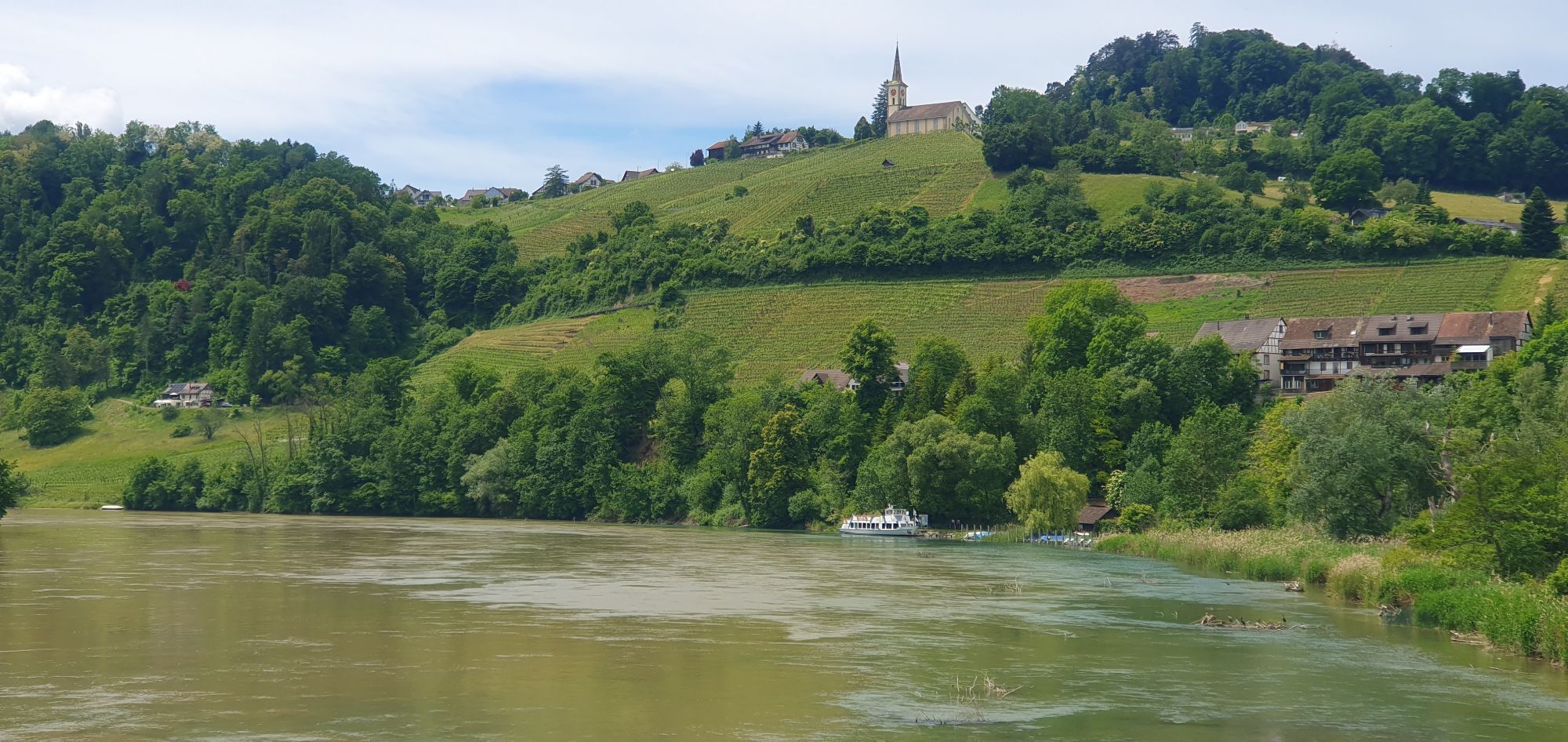
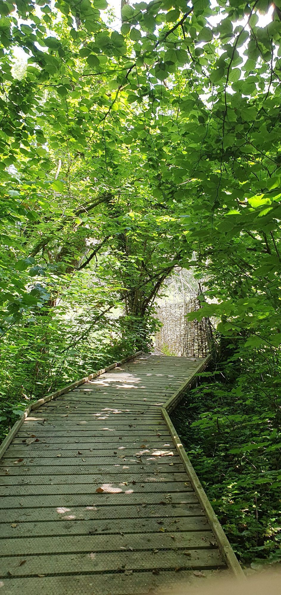
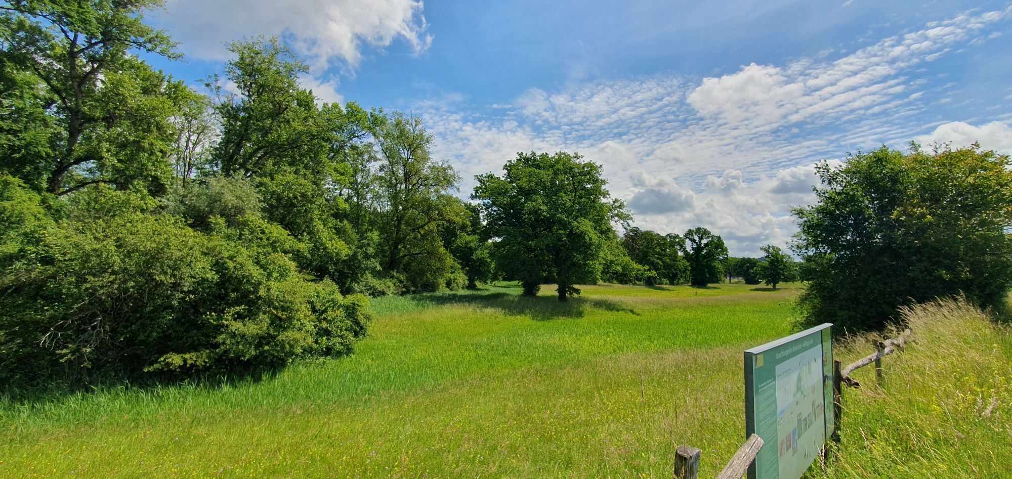
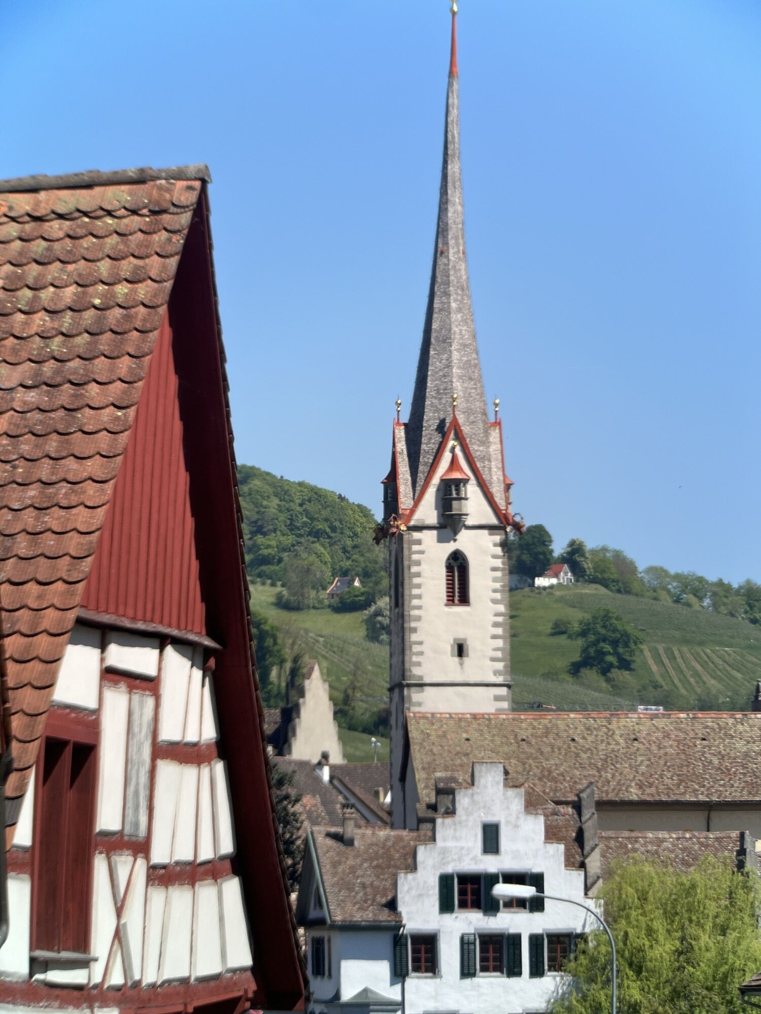
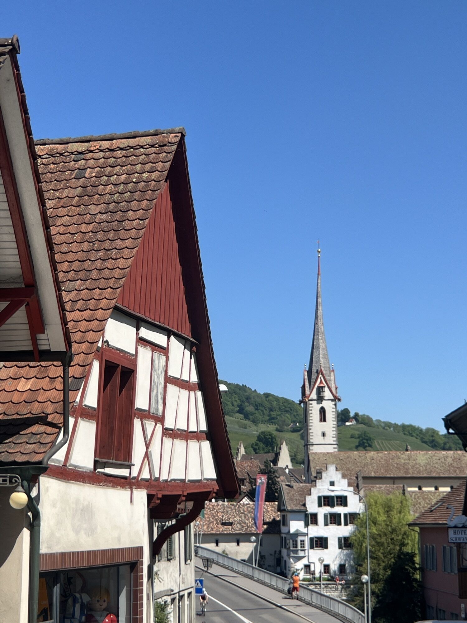
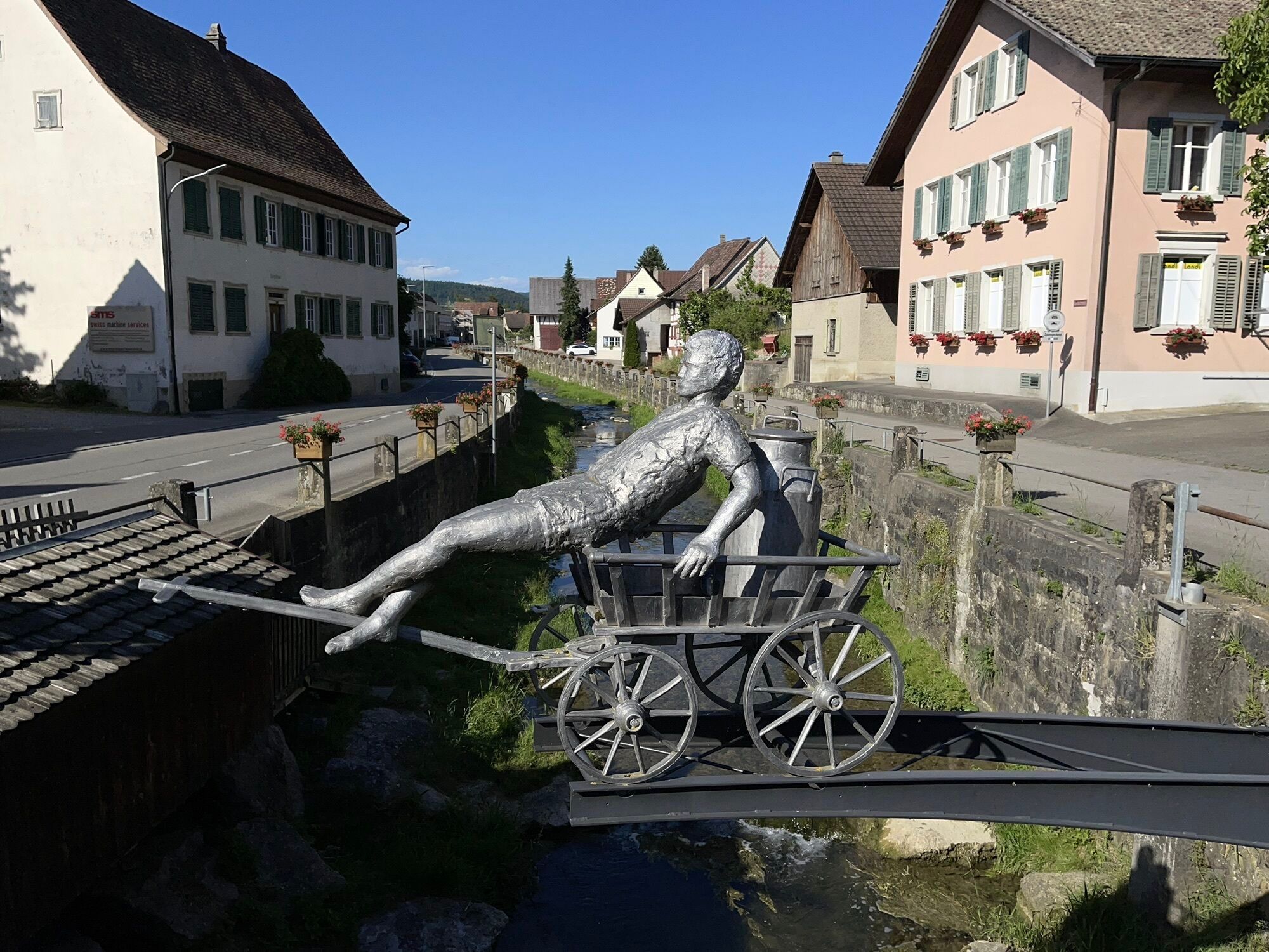
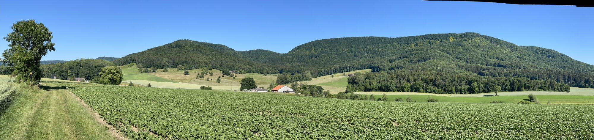


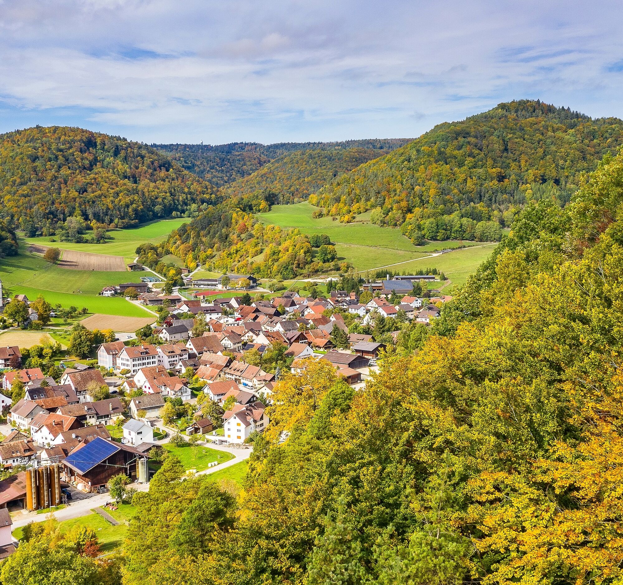
On this bike route, one scenic highlight follows another: In the Regional Nature Park Schaffhausen you ride over the hills and through the forests of the Randen, through the wide valley and the vineyards...
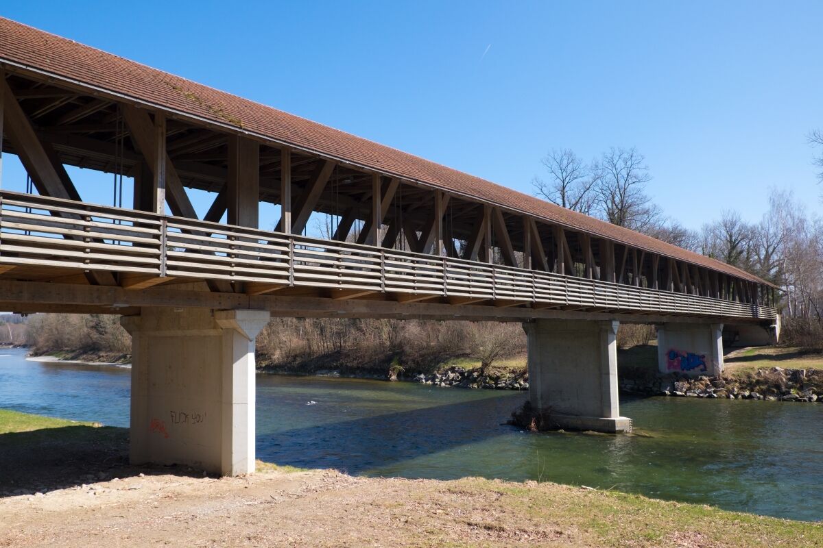
On this bike route, one scenic highlight follows another: In the Regional Nature Park Schaffhausen you ride over the hills and through the forests of the Randen, through the wide valley and the vineyards of the Klettgau, and the southern part of the canton of Schaffhausen shaped by the Rhine. With the cable ferry, you cross the Rhine and reach the Zurich Wine Country. Instead of the ferry, a bridge at Rüdlingen also takes you over the river.
The Zurich Wine Country is characterized by beautiful wine-growing towns like Flaach, Benken, or Marthalen and seemingly endless vineyards. It is therefore no surprise that good wine and fine regional products abound along the entire route. Look forward to a sporty and culinary discovery tour by bike or e-bike in the Regional Nature Park Schaffhausen and the Zurich Wine Country.

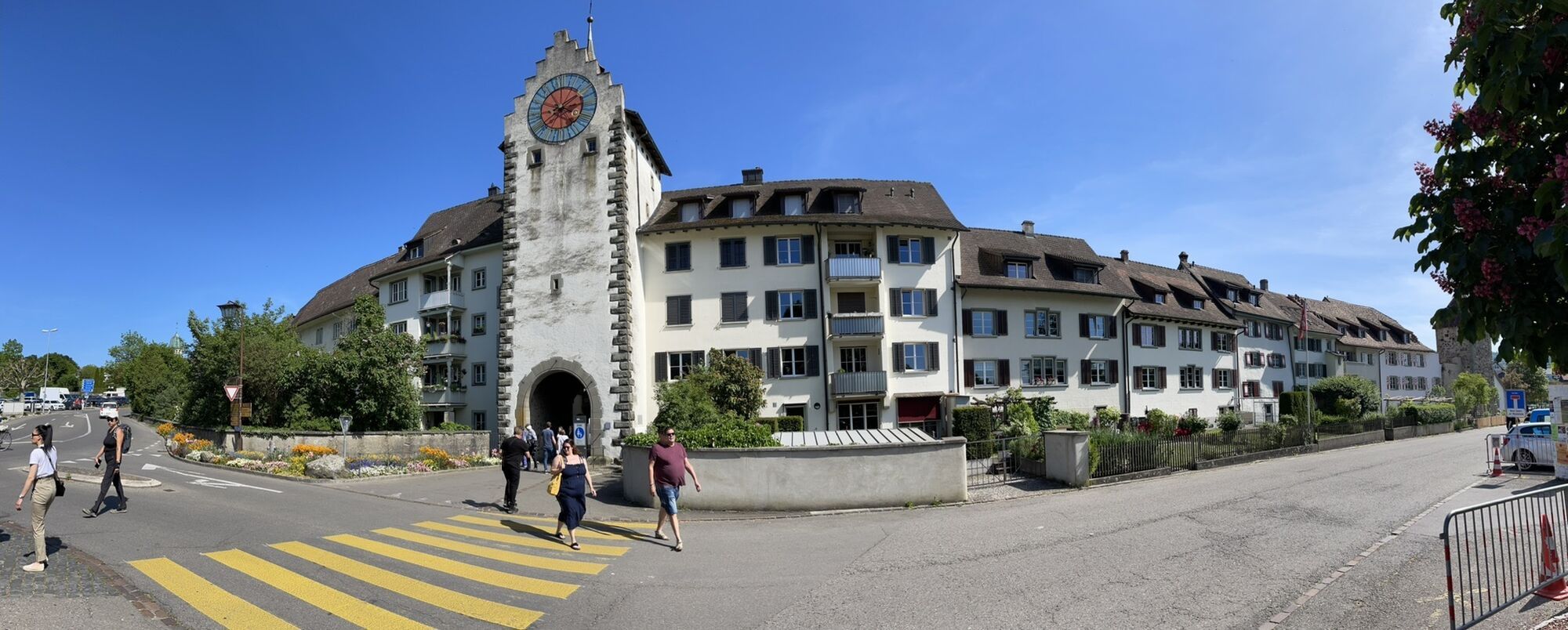
Schaffhausen, the northernmost city in Switzerland, serves as the starting point for this route. Schaffhausen impresses with its old town full of charm and character. Stroll through the alleys and enjoy fine and regional specialties in one of the many restaurants. Towering high above the old town is the city's landmark, the Munot. Climbing the fortress is definitely worth it. The view over the Rhine city is breathtaking!
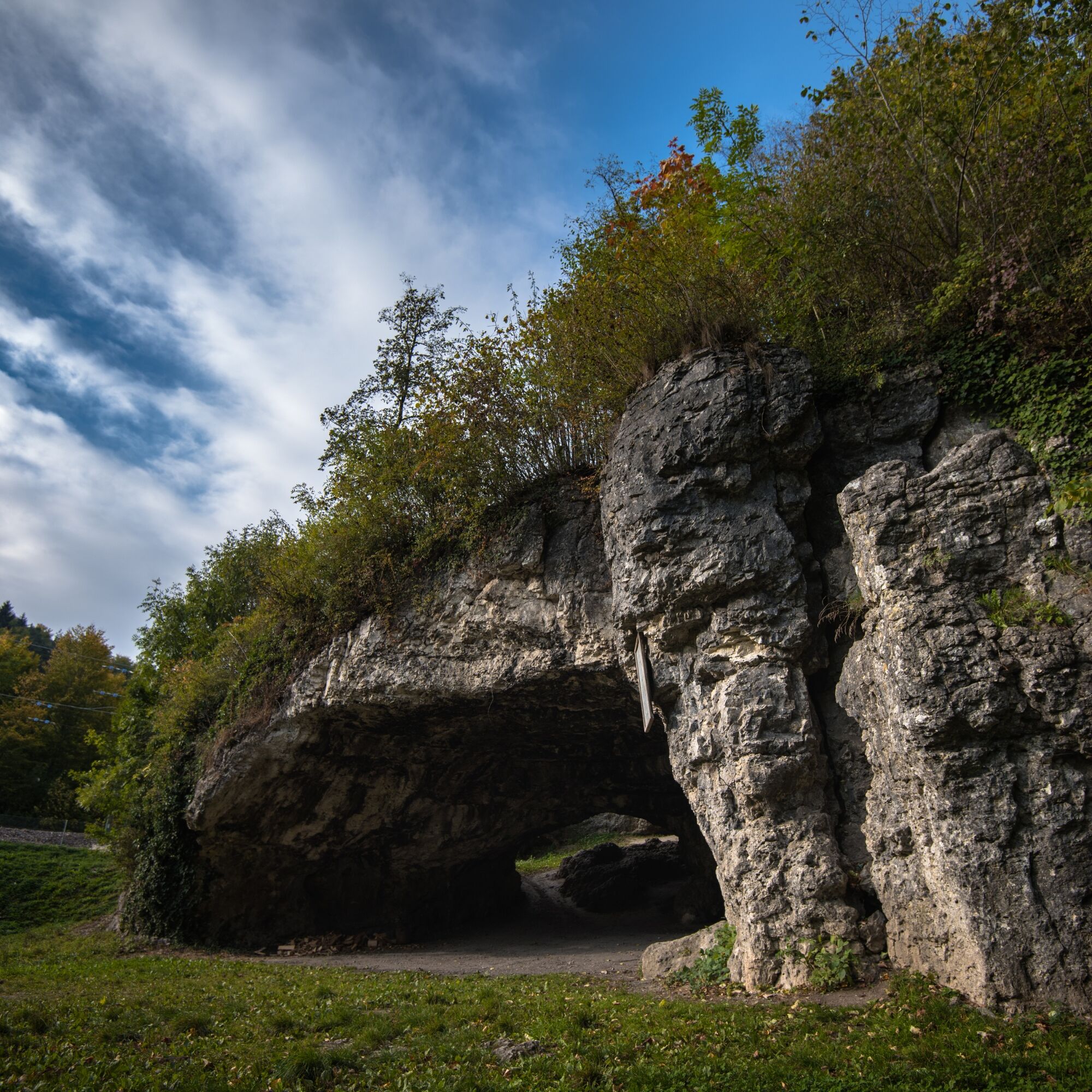
After just a few kilometers, you reach the Kesslerloch in Thayngen, one of the most important late Ice Age archaeological sites in Europe. It provides evidence of settlement traces from the Late Paleolithic. Excavations were carried out here until 1980, which even revealed mammoth and reindeer bones.
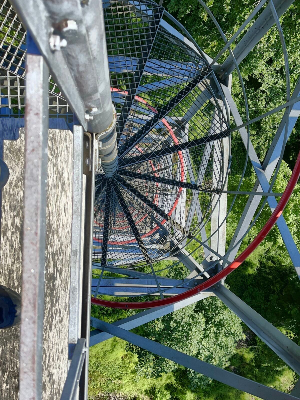
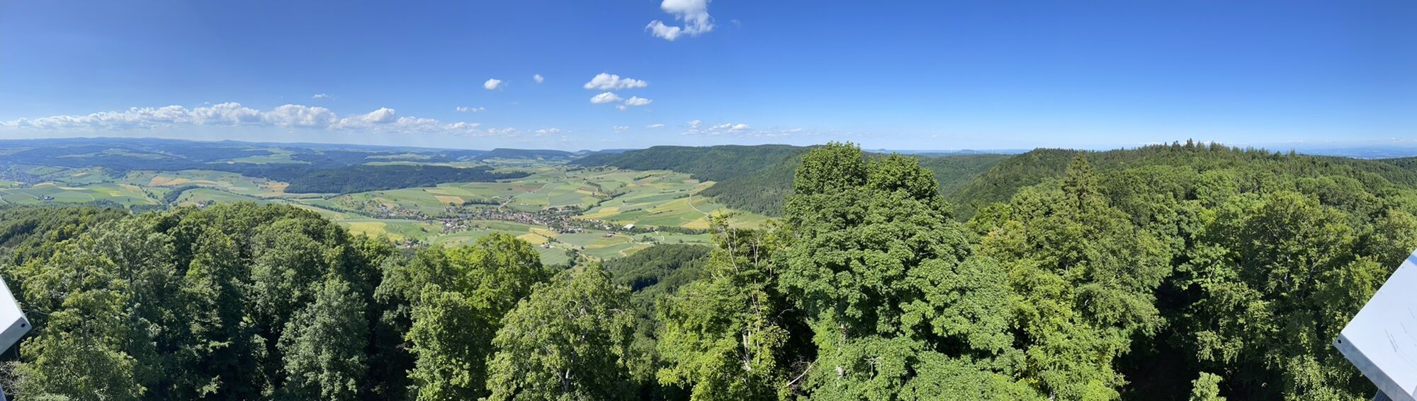
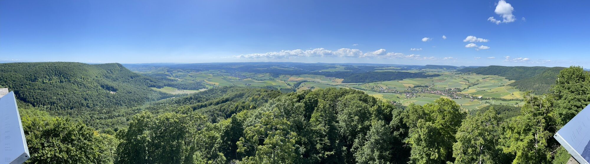
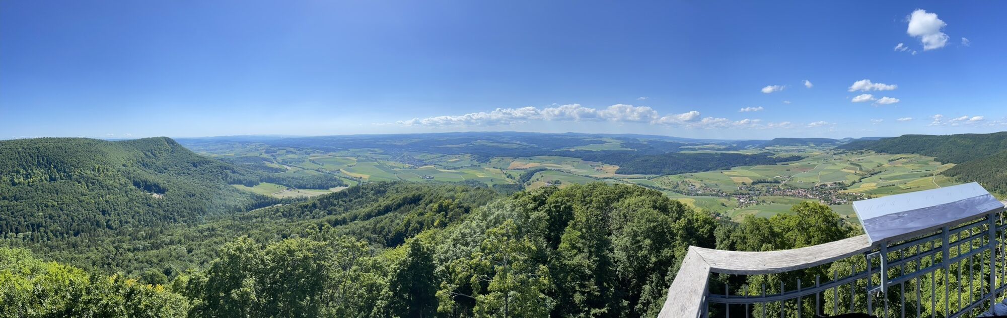
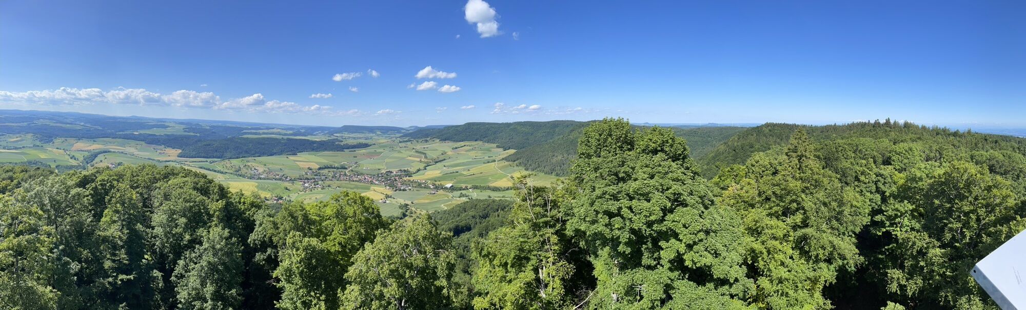
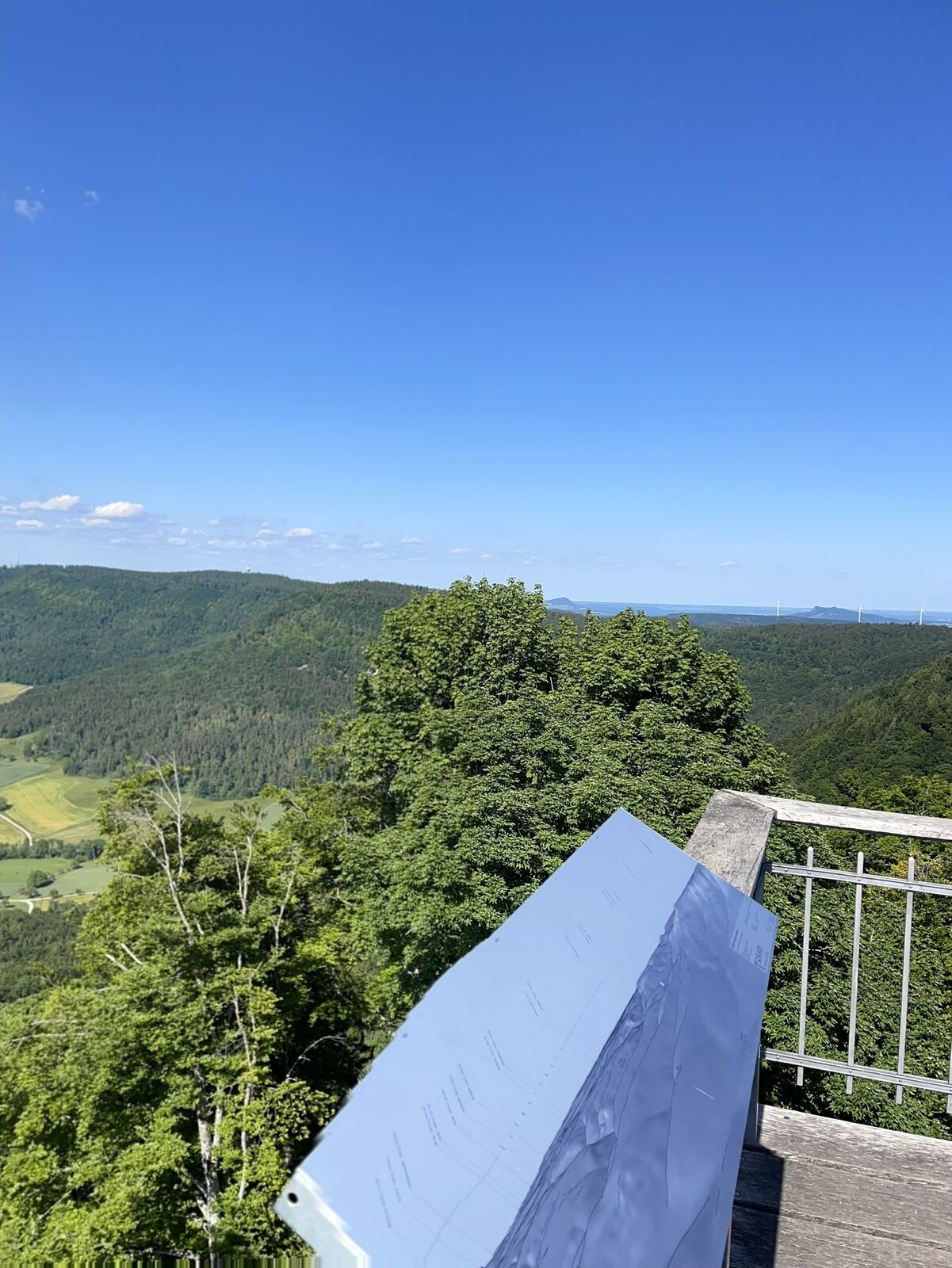
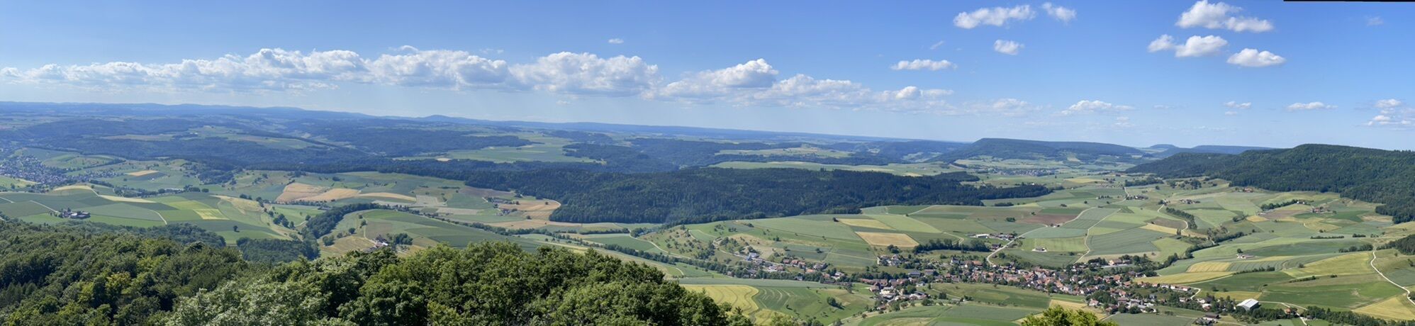
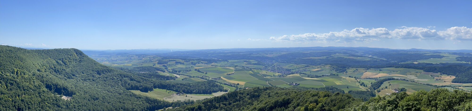
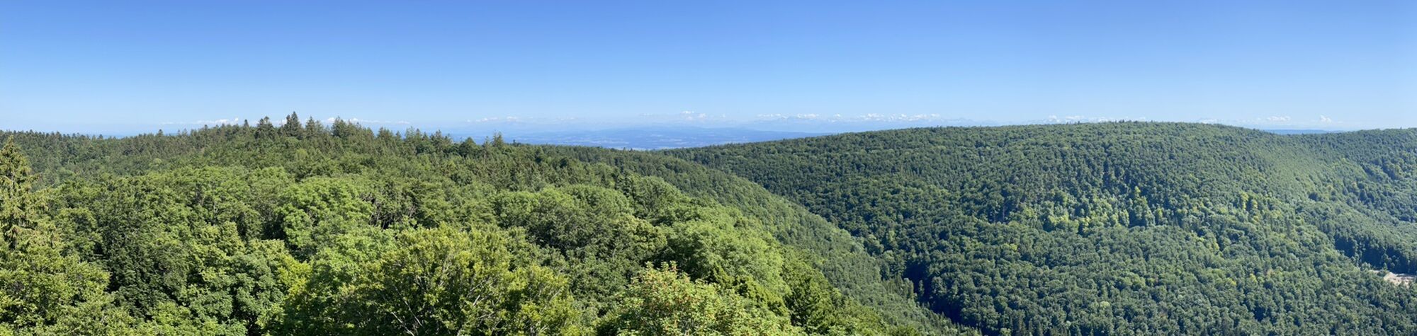
The next highlight after some time is the Schleitheimer Randenturm, the highest point in the Regional Nature Park Schaffhausen. A spiral staircase with 100 steps leads up to the platform. From 20 meters above ground, you can enjoy the unique view from the Randen over the Hegau, the Swiss Pre-Alps, and far into the Black Forest.
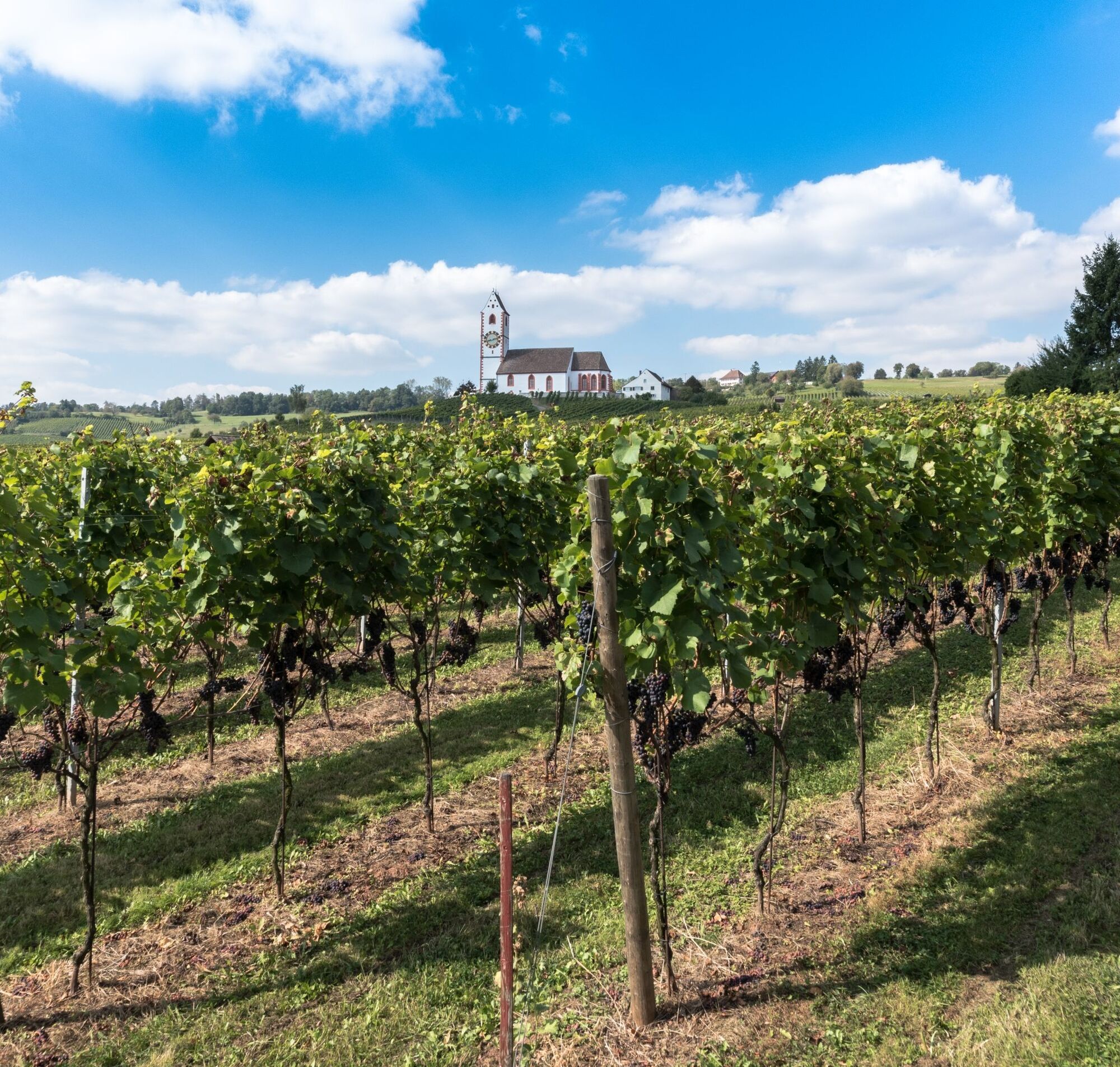
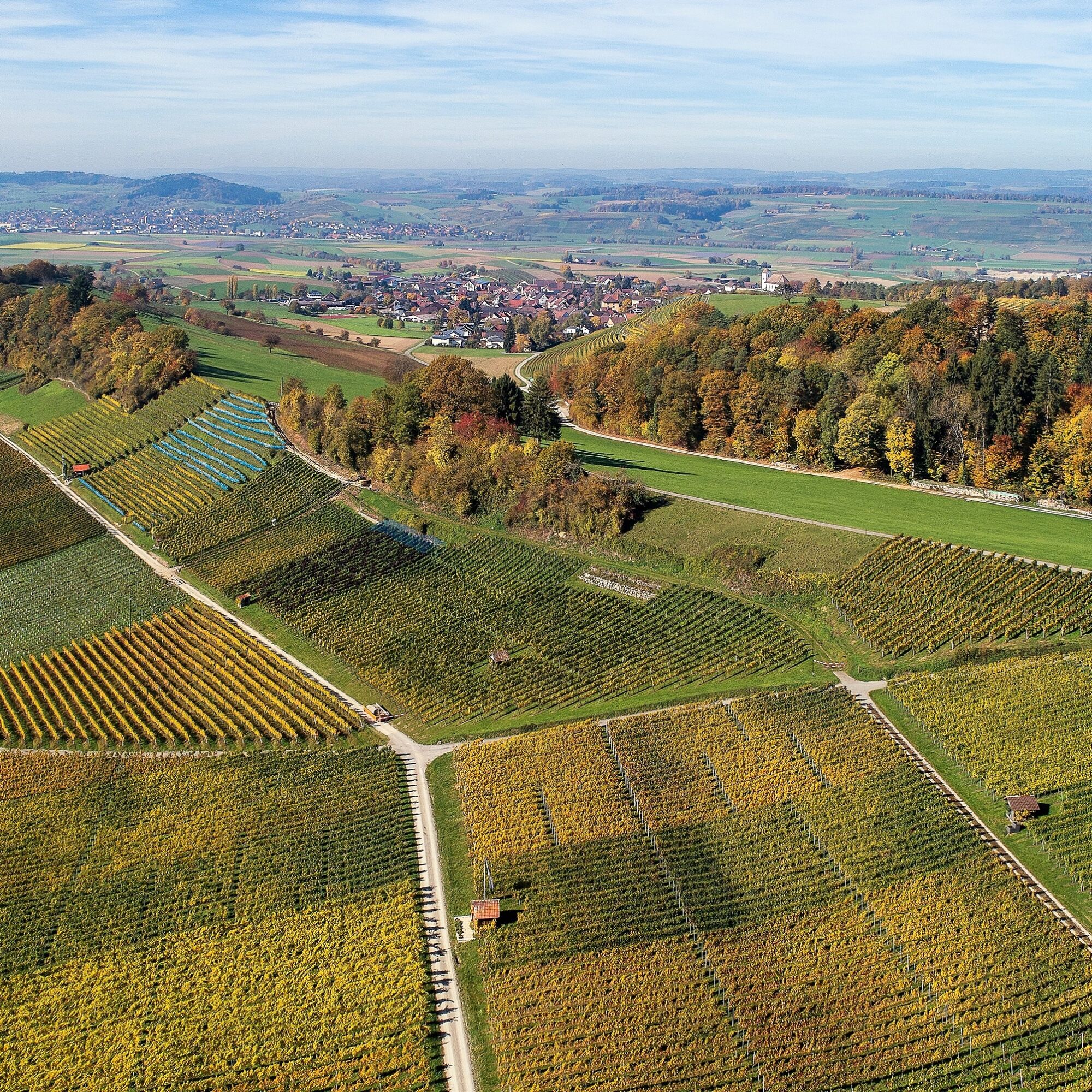
On your ride through the Chläggi, you conquer the Hallauerberg, which is part of the largest contiguous vineyard area in the German-speaking part of Switzerland. The region has a centuries-old tradition of vine and wine growing and is the home of Pinot Noir. Enjoy the ride through the vine-covered slopes. The Hallauerberg offers a beautiful view over the Klettgau and on clear days as far as the majestic Alps.
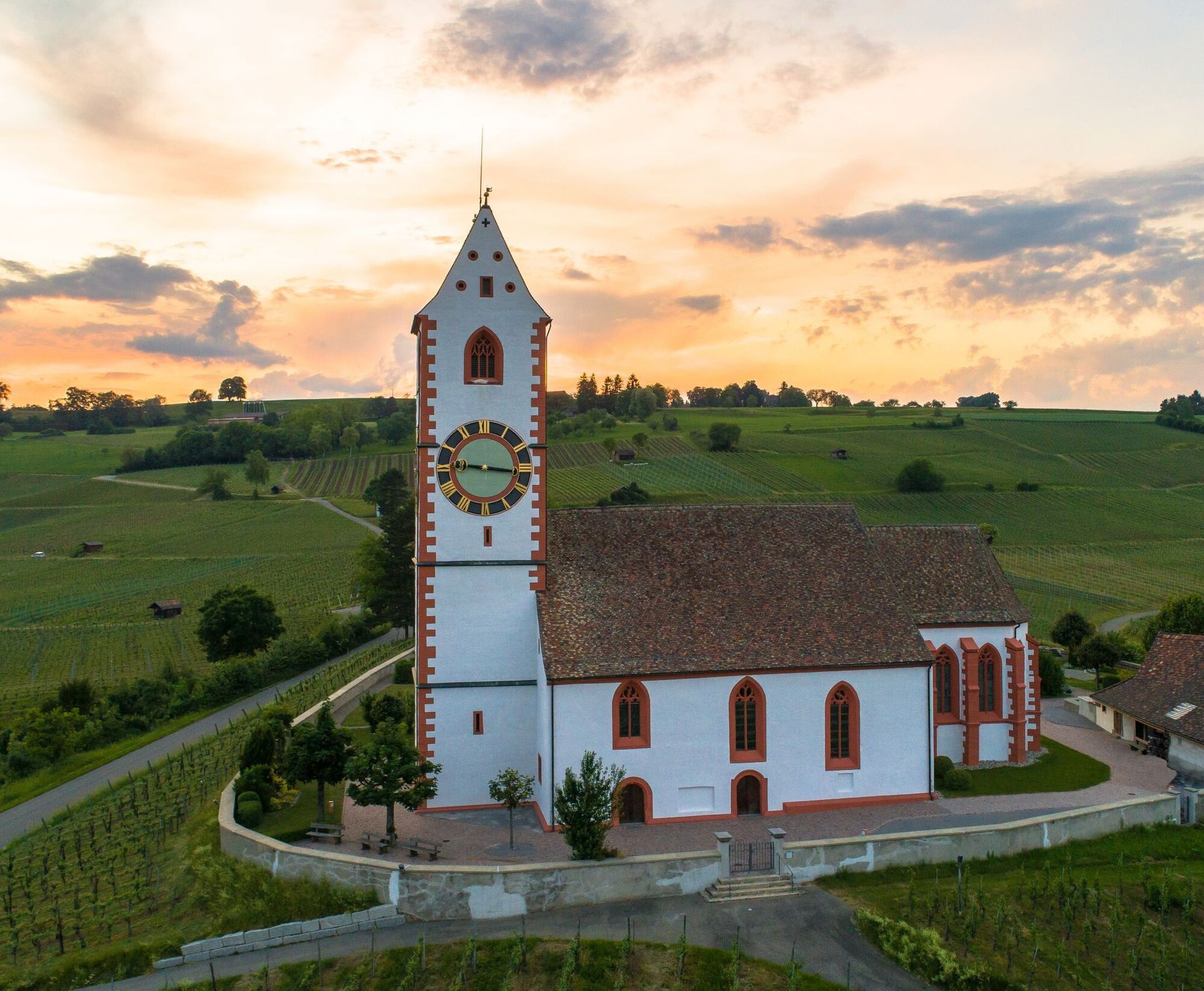
After some time, you reach the Buchberg church. The beginnings of the joint church were not easy. The citizens of Rüdlingen wanted the church tower on their municipal side – but the ground did not allow this. When the church location was chosen so that Rüdlingen could read the clock face from the village, construction began and was completed in 1850. The church burned down in 1972. It was rebuilt on the same site.
Very close to the Buchberg church lies the Thurauen Nature Centre. Step inside and let yourself be transported to a vibrant floodplain landscape. At the Thurauen Nature Centre you can find the interactive exhibition “Kosmos Auenlandschaft,” a scenic aerial walkway, and an adventure trail in the floodplain forest. Additionally, a restaurant, the Flaach swimming pool, and the unique Thurauen offer numerous opportunities to shape your excursion exactly as you wish.
To continue your journey in the Zurich Wine Country, the Rhine ferry silently and without a motor takes you across the border: The cable ferry brings you and your bicycle over the Rhine into Switzerland within minutes for your onward ride through the Zurich Wine Country. Before you continue and enjoy the floodplain landscapes, it is worth taking a break at the river and cooling off in the Rhine during summer.
On your further ride, you reach the Andelfingen castle park. It houses a beautiful, well-maintained park that is one of the most important in Switzerland. The herb garden and the shady trees invite you to linger. It is worth visiting the mill village Andelfingen from here, which is unique with its ramified mill stream system.
Another highlight on the Nature Park Wine Country route is the wine country village of Marthalen. The village offers a magnificent insight into the art of building with splendid, well-preserved timber-framed and half-timbered houses.
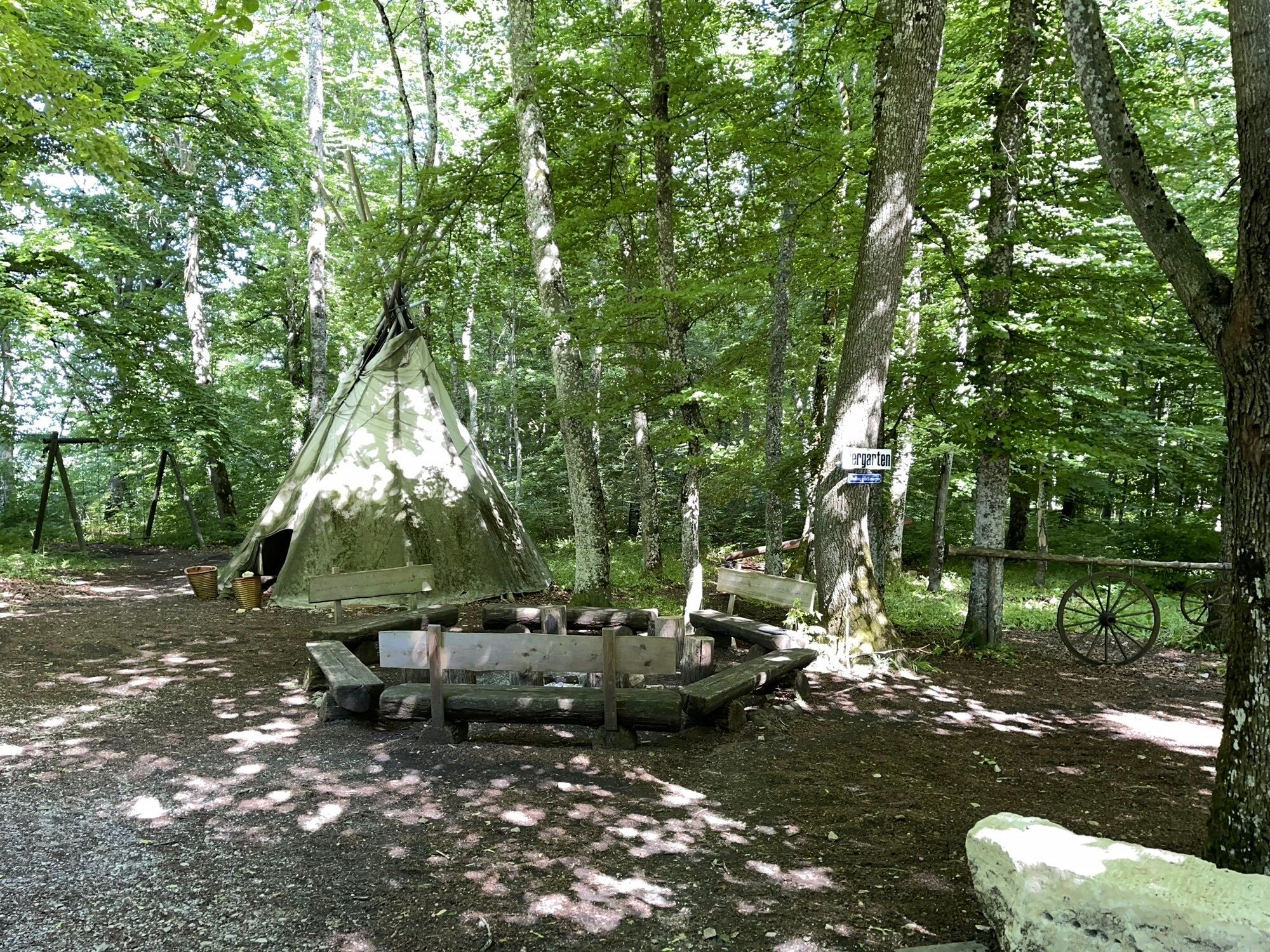
Soon you will encounter the unique lake landscape of the Husemersee. It consists of four natural lakes and today forms an important nature reserve in the Zurich Wine Country region. The idyllic area invites you to swim and relax. At the west end, there is a jetty for jumping into the cool water and fire pits that invite you to grill. Around the Todeissee, a hiking trail leads to an approximately three-quarter-hour exploration tour on foot.
Another highlight on your route is the Gallus Chapel, one of the most important sights of the Zurich Wine Country and of national significance. Decorated with wall paintings from the 14th century, the Gallus Chapel attracts both art and religion enthusiasts. The chapel offers space for a moment of silence and reflection – a perfect place for a break during your ride.
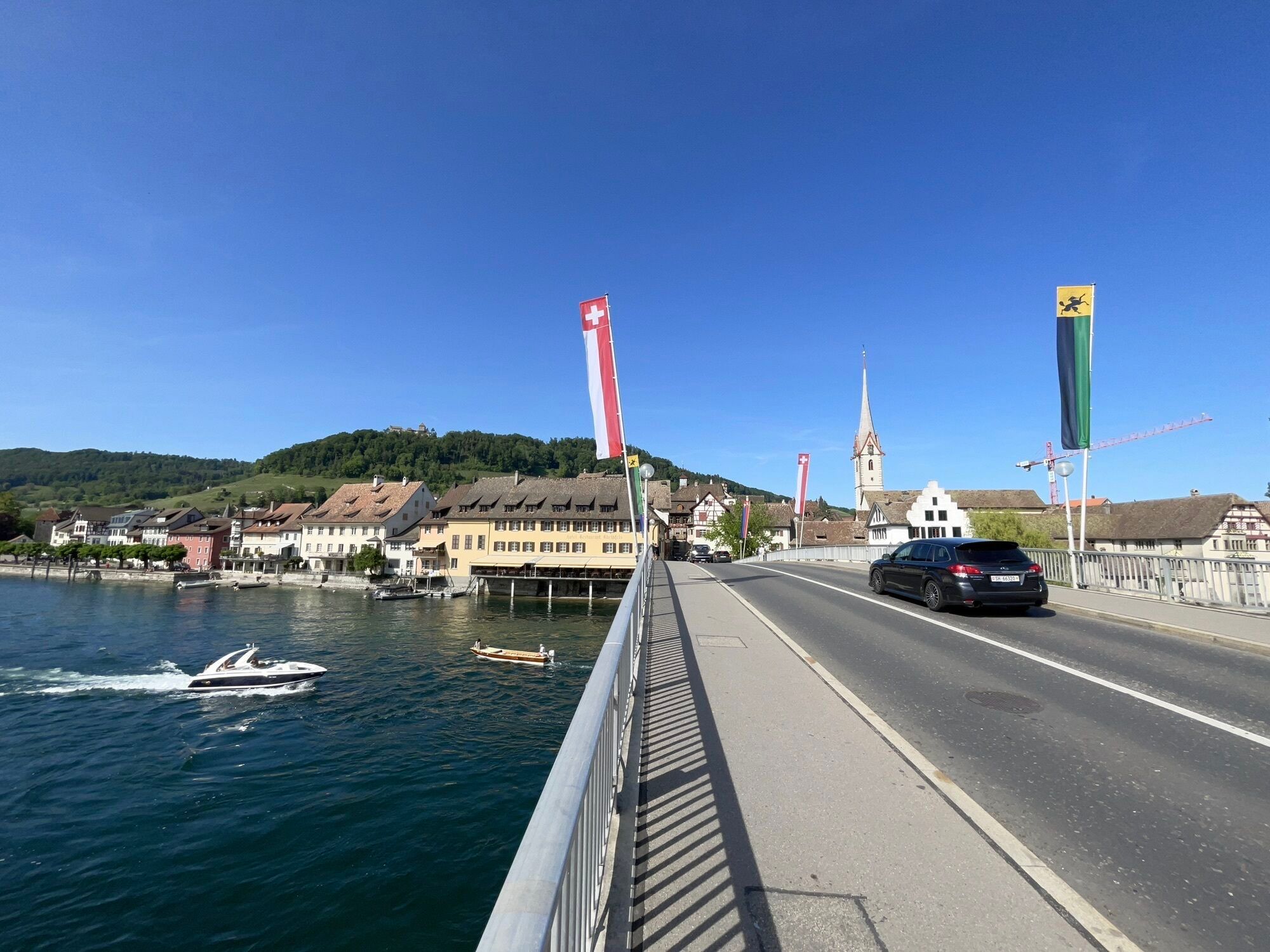
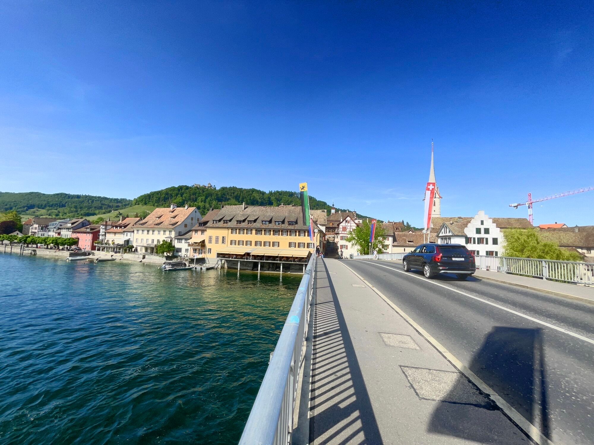
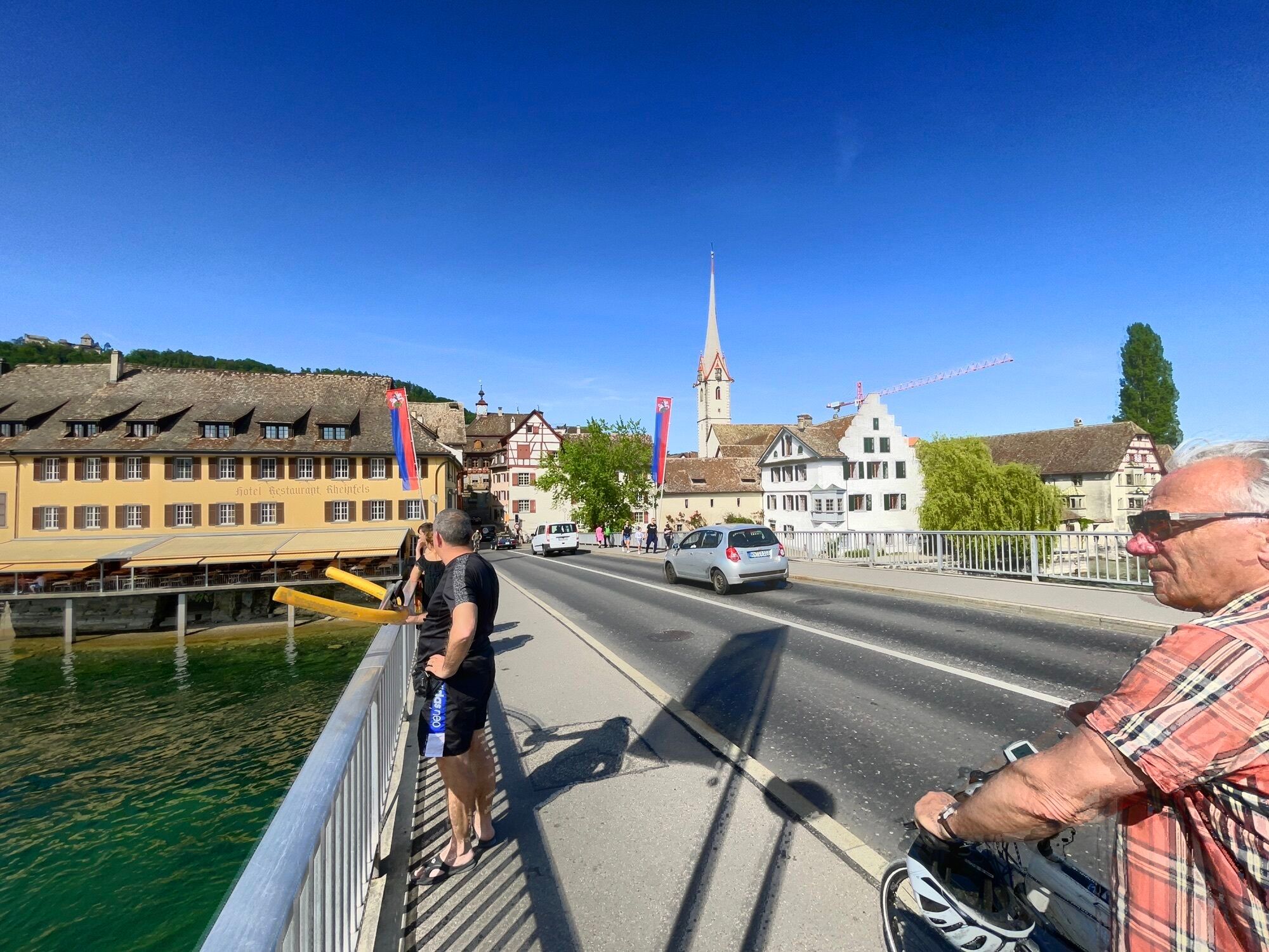
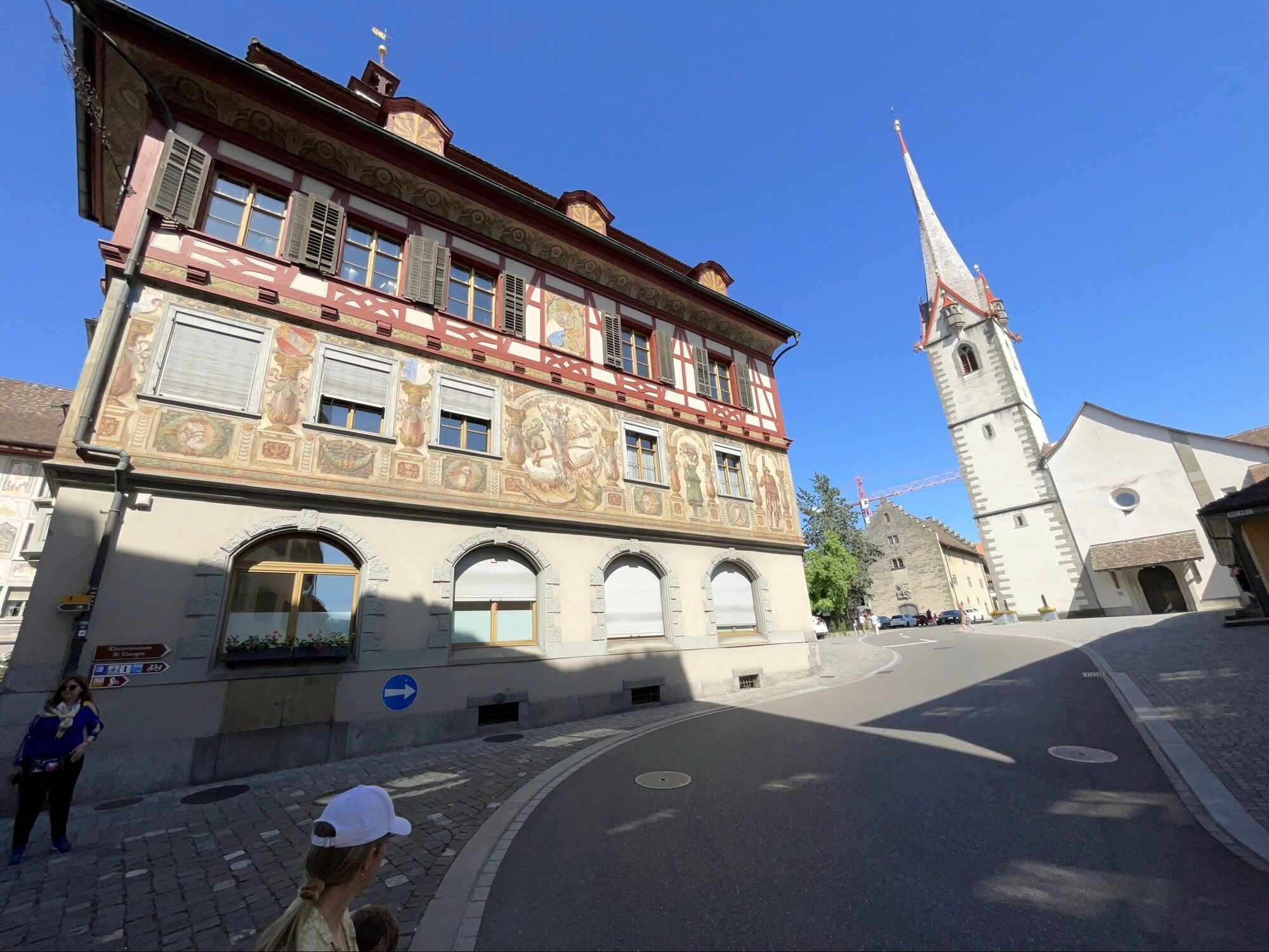
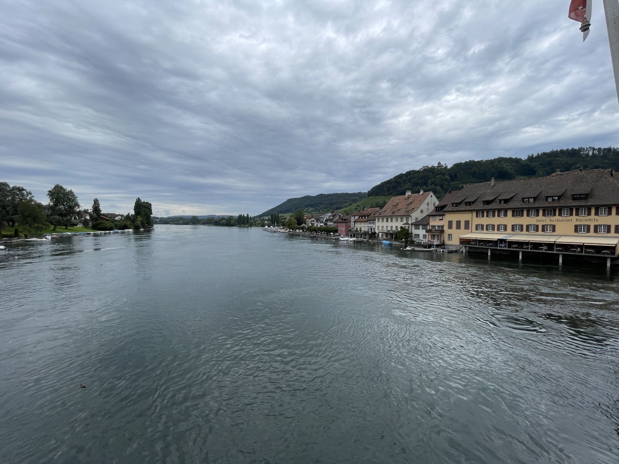
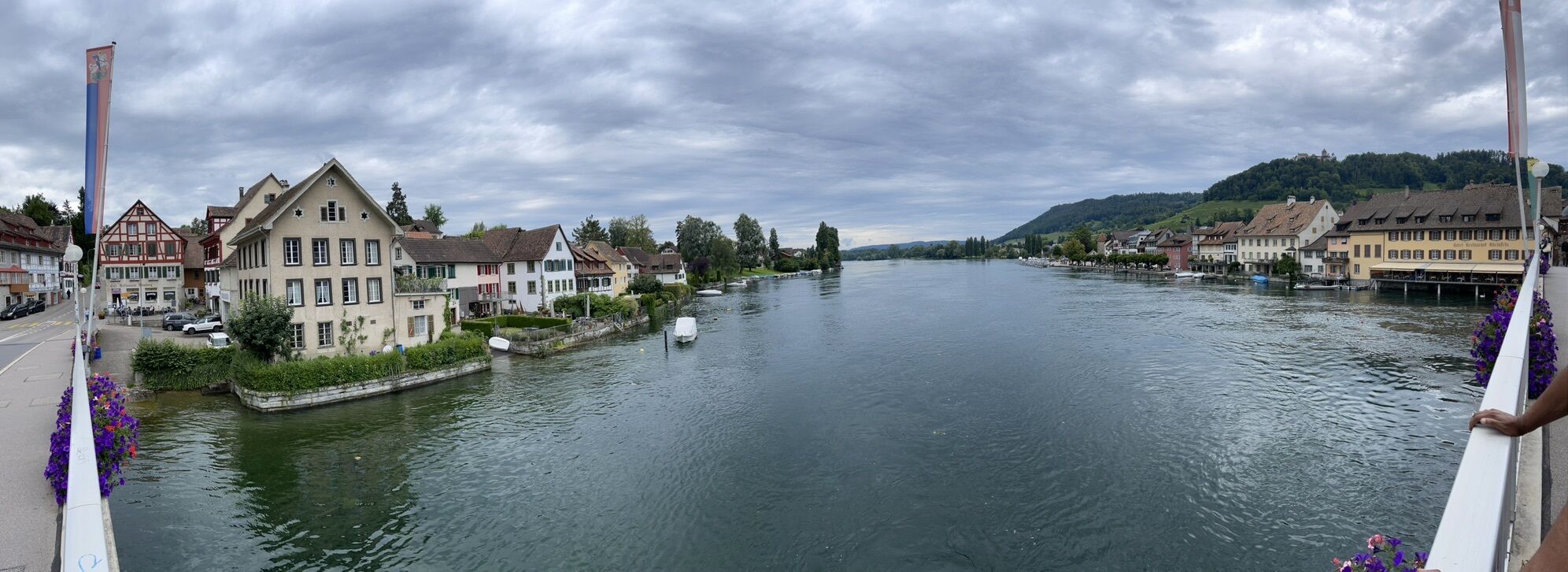
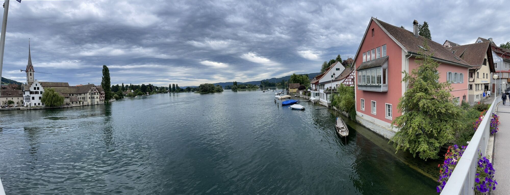
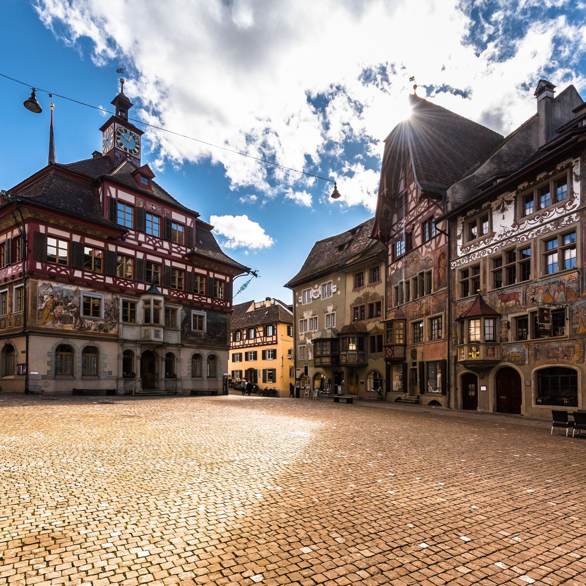
On the return journey to Schaffhausen, you pass through the little town of Stein am Rhein. The charm of the medieval city is undisputed. The unique facade paintings are world-famous, and the location directly on the Rhine invites you to relax. Towering high above the old town is Hohenklingen Castle with a breathtaking panoramic view over the Hegau, Lake Constance, and the Rhine landscape – the climb is worth it!
Traveling downstream along the Rhine, you soon reach your starting point again, the old town of Schaffhausen. End your route with a jump into the Rhine or a fine ice cream at the Lindli.
Da
Ride-capable bike, bicycle helmet, provisions.
A bicycle helmet is recommended.
The starting point is accessible by train:
Schaffhausen station, sbb.ch
Schaffhausen station, sbb.ch
Use the station car park.
3
Schaffhauserland Tourism
Regional Nature Park Schaffhausen
E-bikes can be charged at most restaurants, hotels, B&Bs, etc. Ask locally for details.
Velo Glauser
Andelfingerstrasse 7, 8416 Flaach www.veloglauser.ch, +41 52 318 15 36
Café Gnädinger
Thurtalstrasse 8, 8450 Andelfingen www.gnaedi-beck.ch, +41 52 317 13 39
Visit the Kesslerloch, the Schleitheimer Randenturm, the Buchberg church and Rüdlingen, the town Stein am Rhein, and the Husemersee.
Spletne kamere s turneje

Priljubljeni izleti v okolici
-
4.7
Small Rheinfall Circular Route
svetlobaPohodništvo 3.48 km -
4.8
Rundwanderweg Rheinau
svetlobaPohodništvo 6.85 km -
Circular hike Schaffhausen - Rhine Falls - Schaffhausen
srednjaPohodništvo 10.0 km -
4.8
Flaach - Ellikon - Flaach
Pohodništvo 12.0 km -
SwitzerlandMobility 896: Rhine Falls Circular Route
srednjaPohodništvo 7.39 km -
4.0
Stein am Rhein – Schaffhausen Round Trip
srednjaKolesarjenje 39.7 km -
4.0
Around Rheinau
svetlobaPohodništvo 4.90 km -
Bachsertal - Glatt
srednjaKolesarjenje 56.6 km -
5.0
Rund um den Husemersee
svetlobaPohodništvo 12.5 km -
Kleie Rheinfallrunde
svetlobaPohodništvo 3.82 km
Pohodništvo in sledenje


Ne zamudite ponudb in navdiha za naslednje počitnice
Vaš e-poštni naslov je bil dodan na poštni seznam.





