







Kunkels Bike No. 482

Stopnja težavnosti: S1
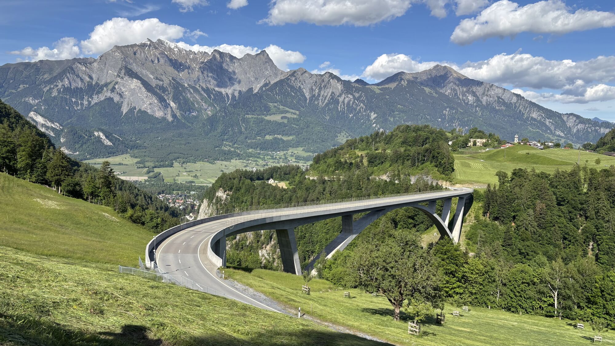
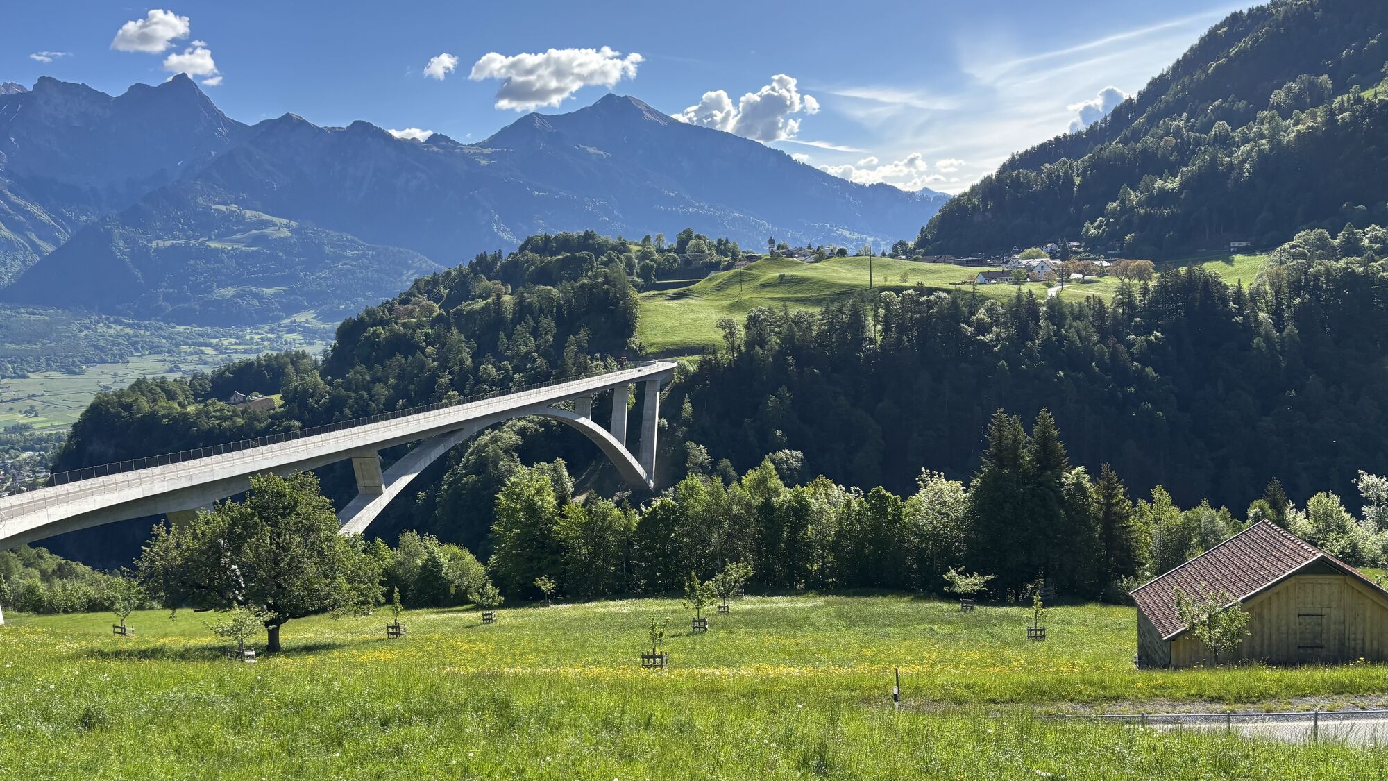
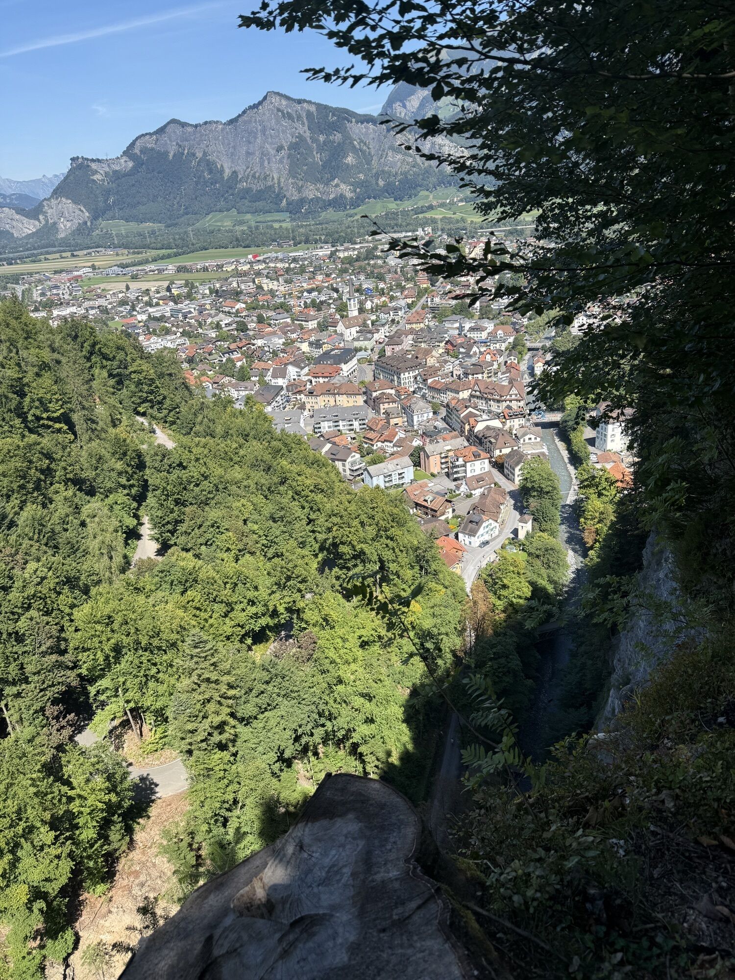
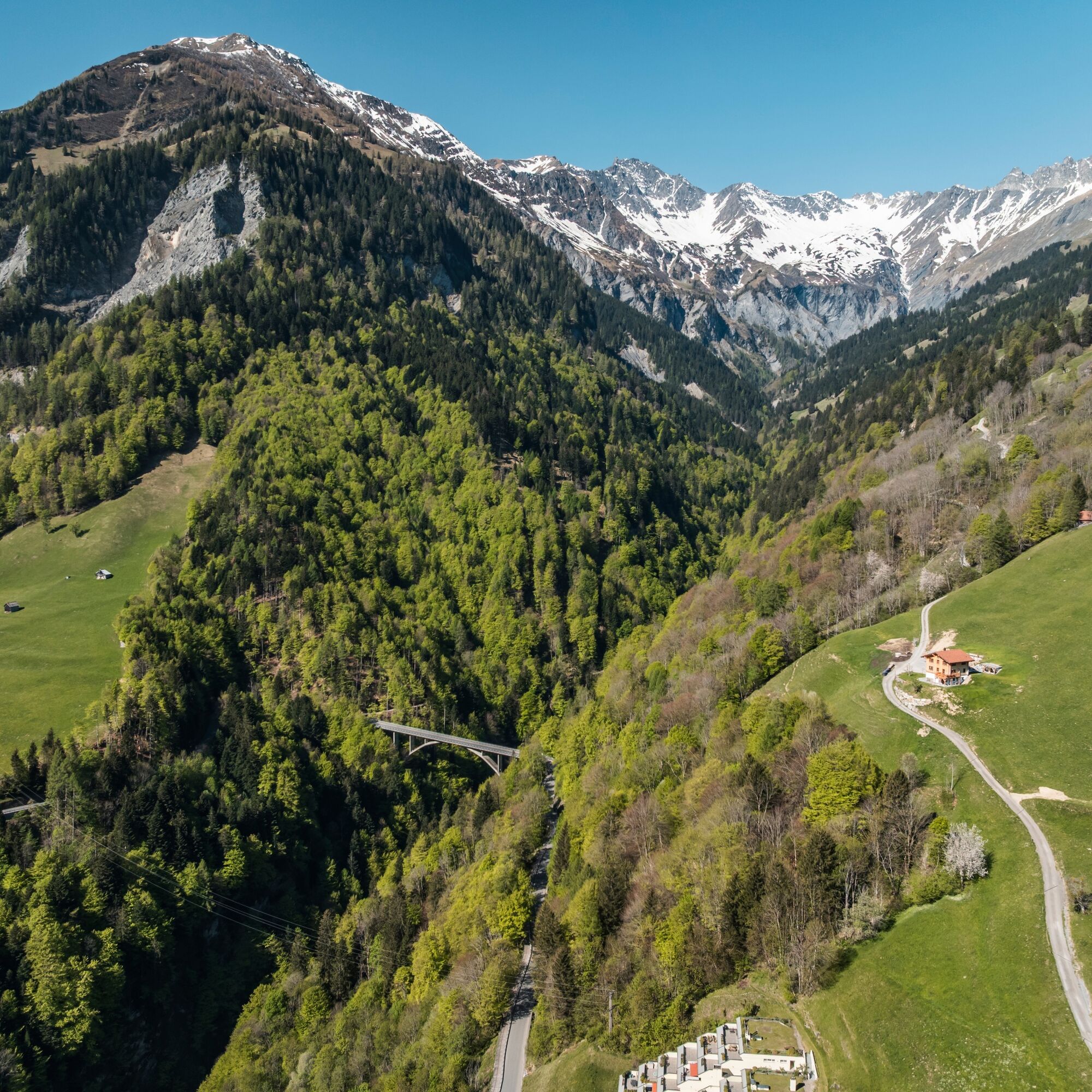
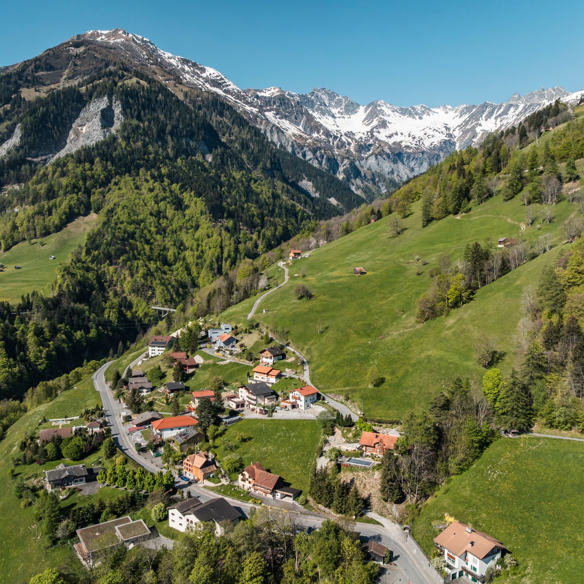
From Bad Ragaz, the pass route, which was already used by the Romans, steadily climbs up to the spa town of Valens. From there, the path is relatively flat, crossing the nearly 100-meter-high bridge to...
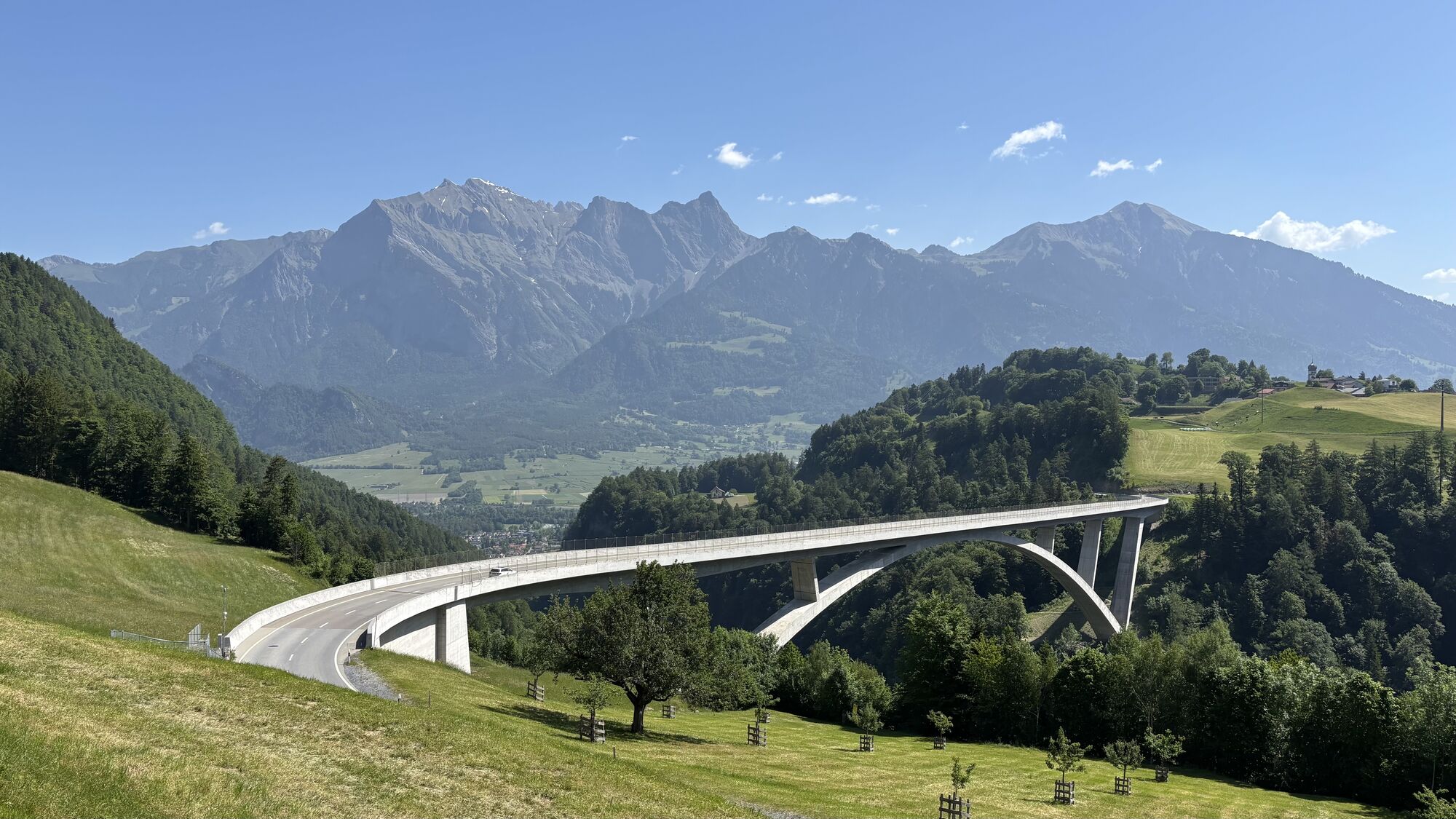
From Bad Ragaz, the pass route, which was already used by the Romans, steadily climbs up to the spa town of Valens. From there, the path is relatively flat, crossing the nearly 100-meter-high bridge to Vasön and then down to the Mapragg reservoir. Before the dam, turn right and follow the lakeshore before the route resumes on the main road at the end of the lake.
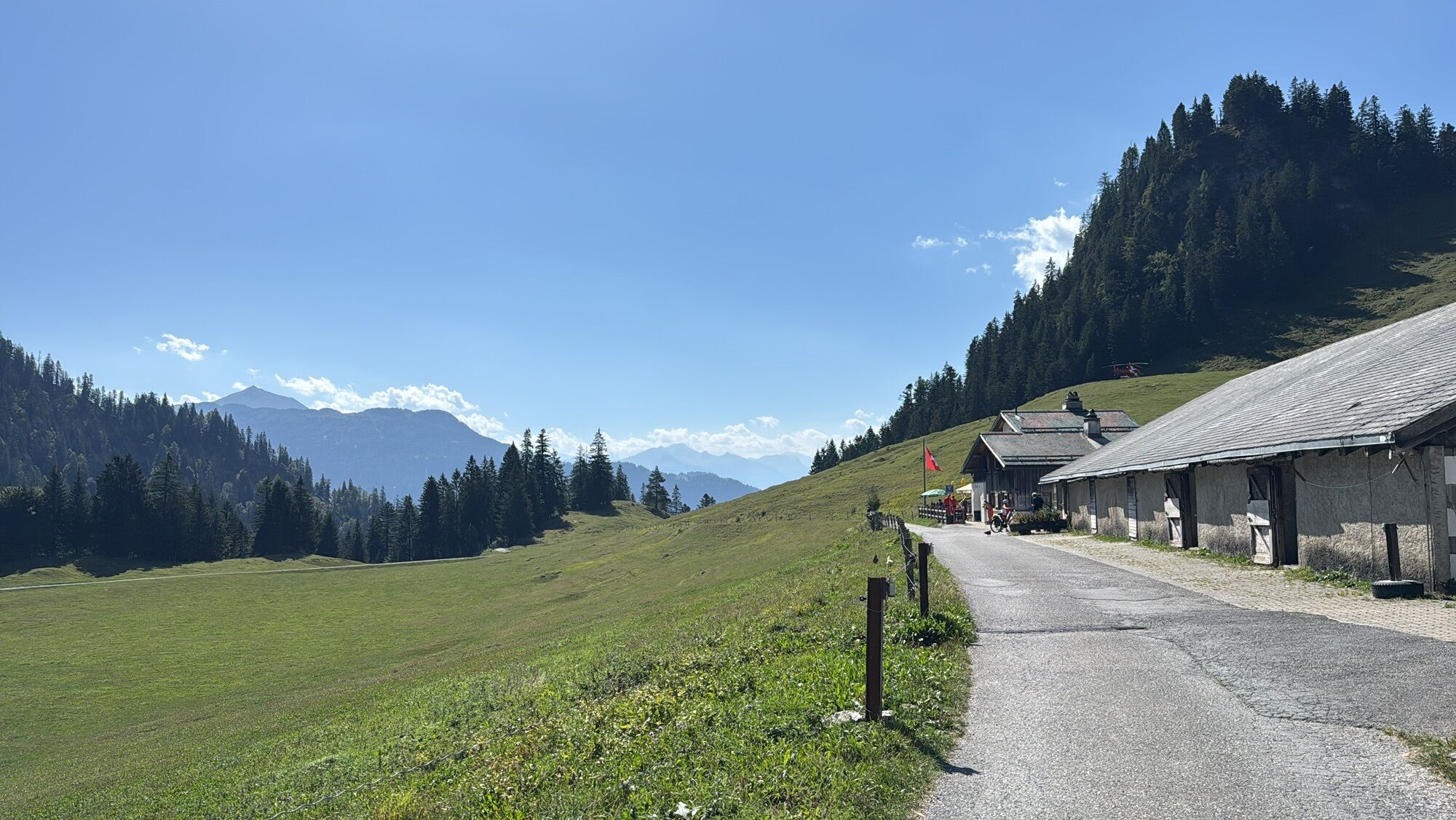
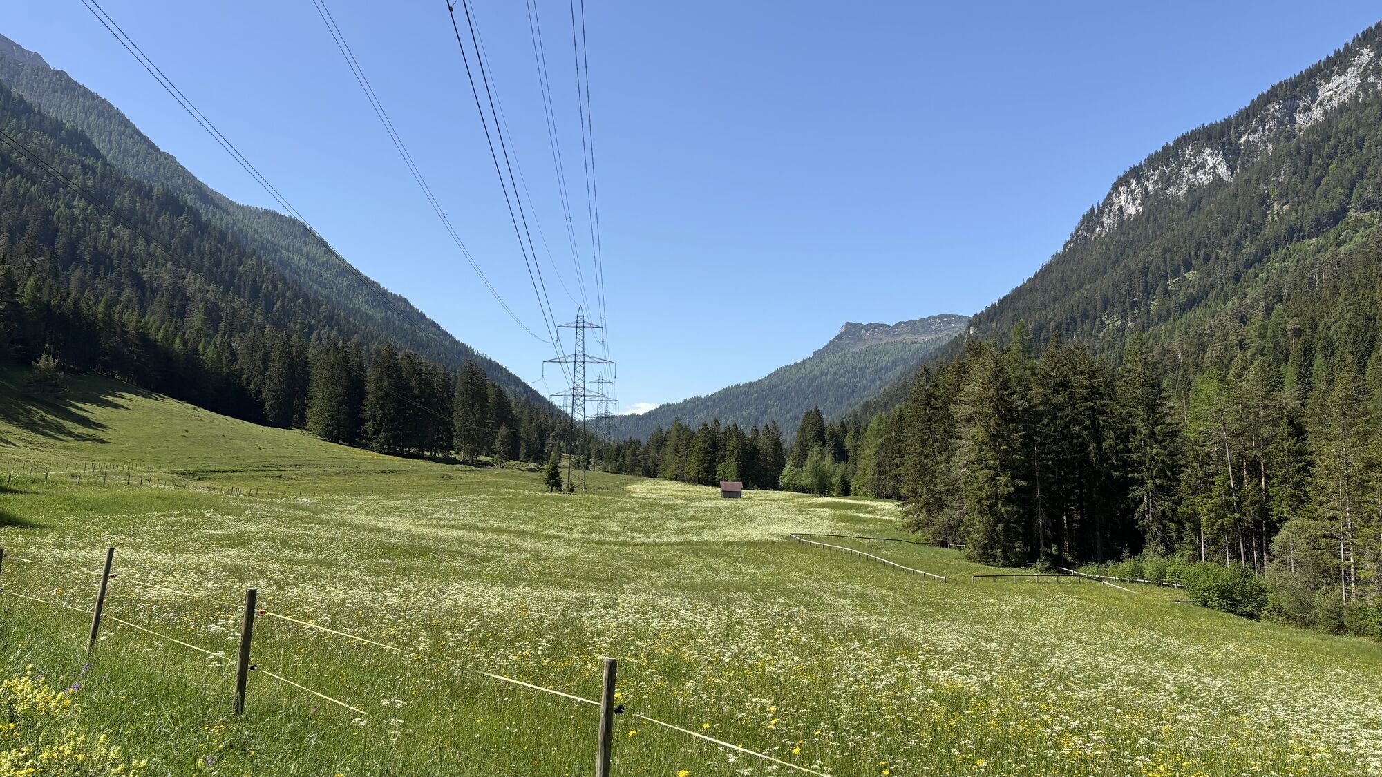
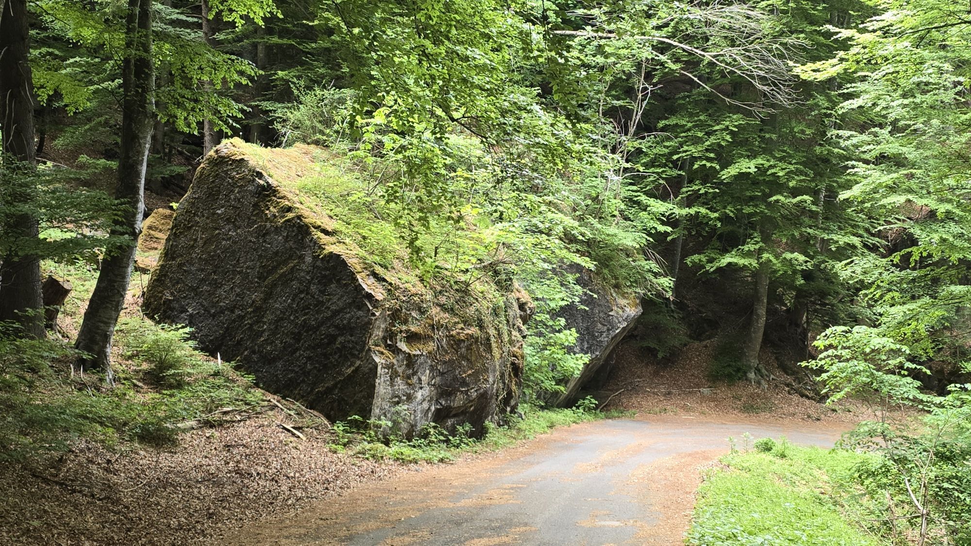
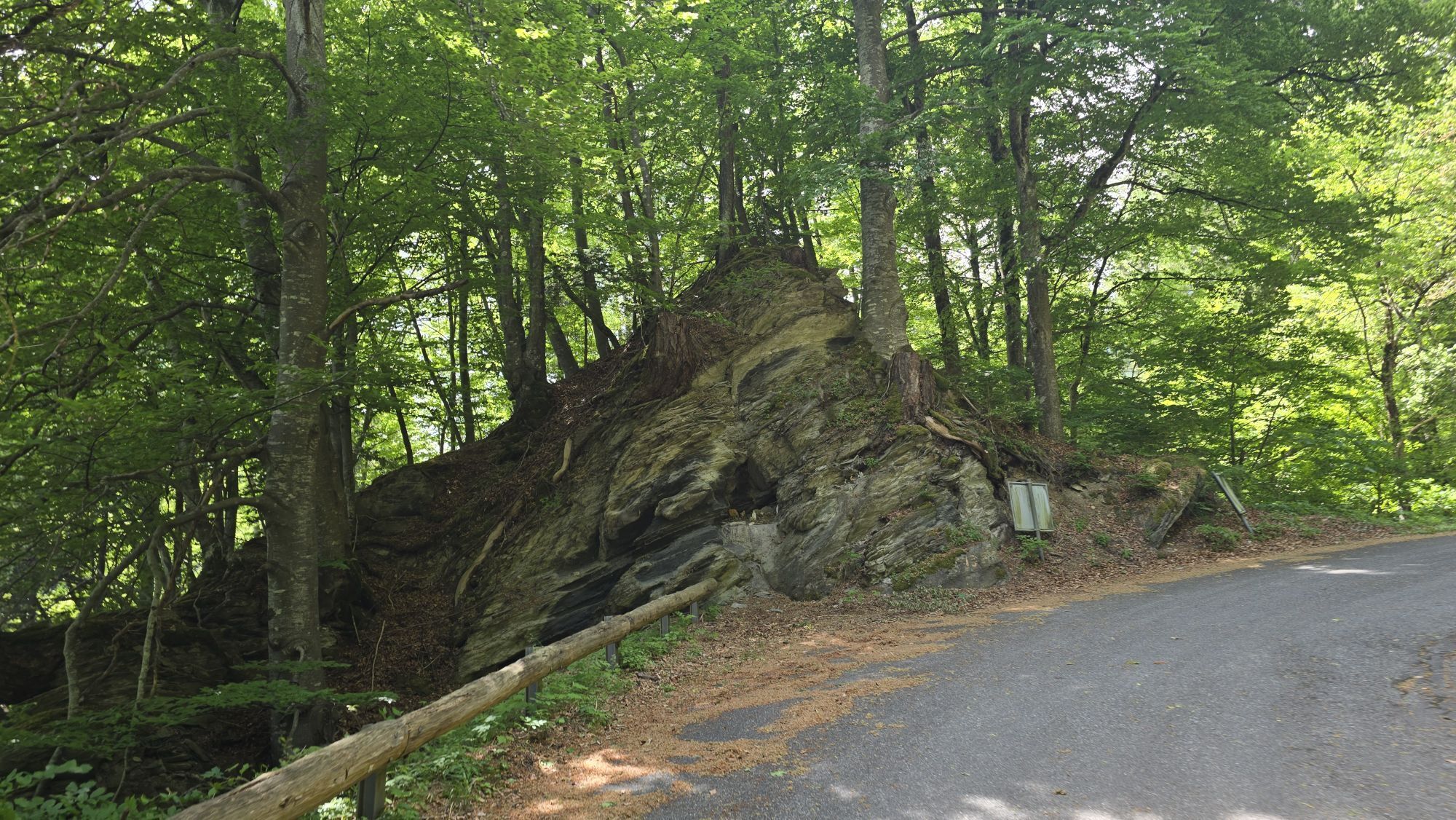
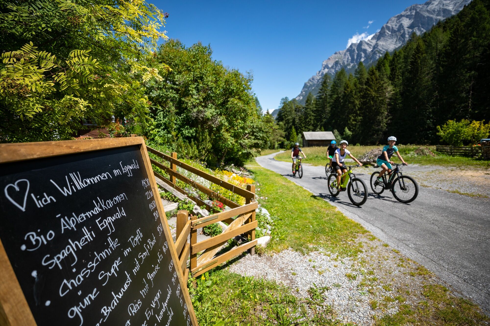
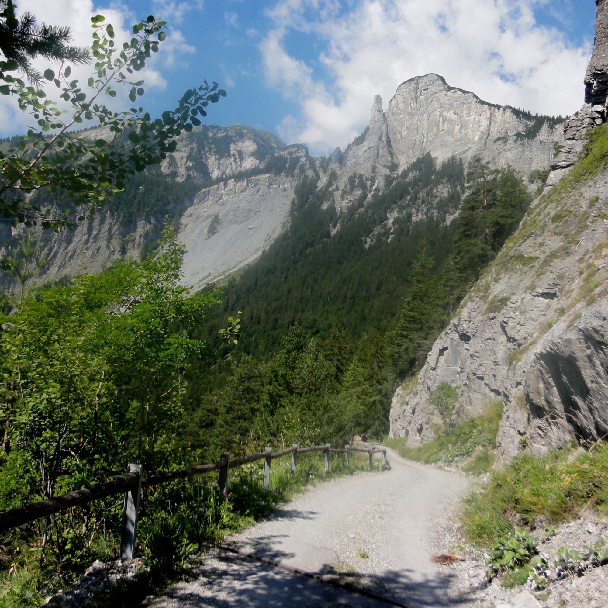
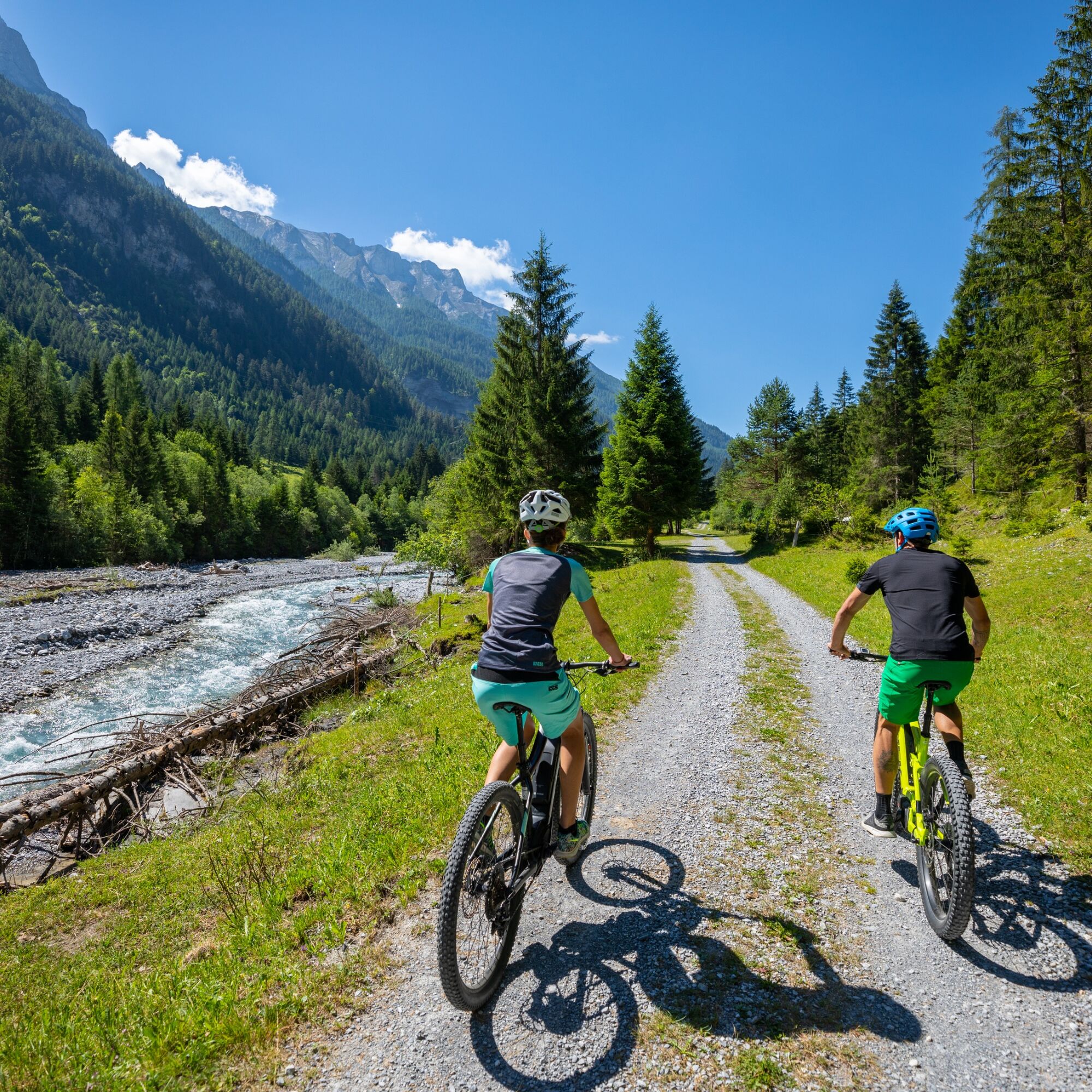
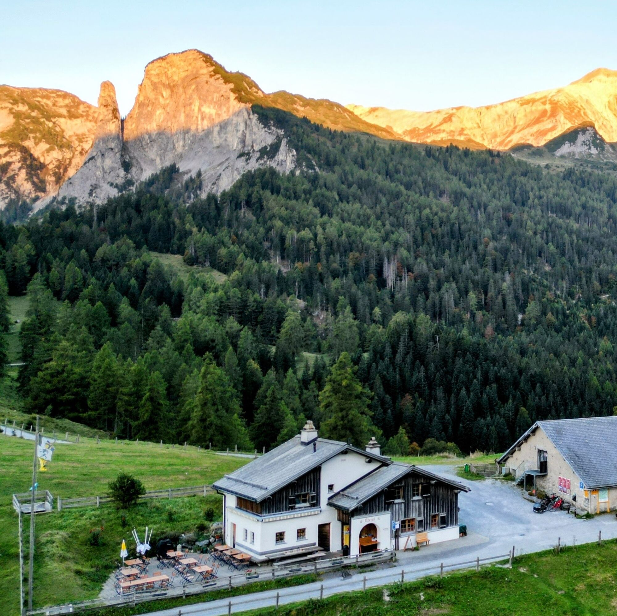
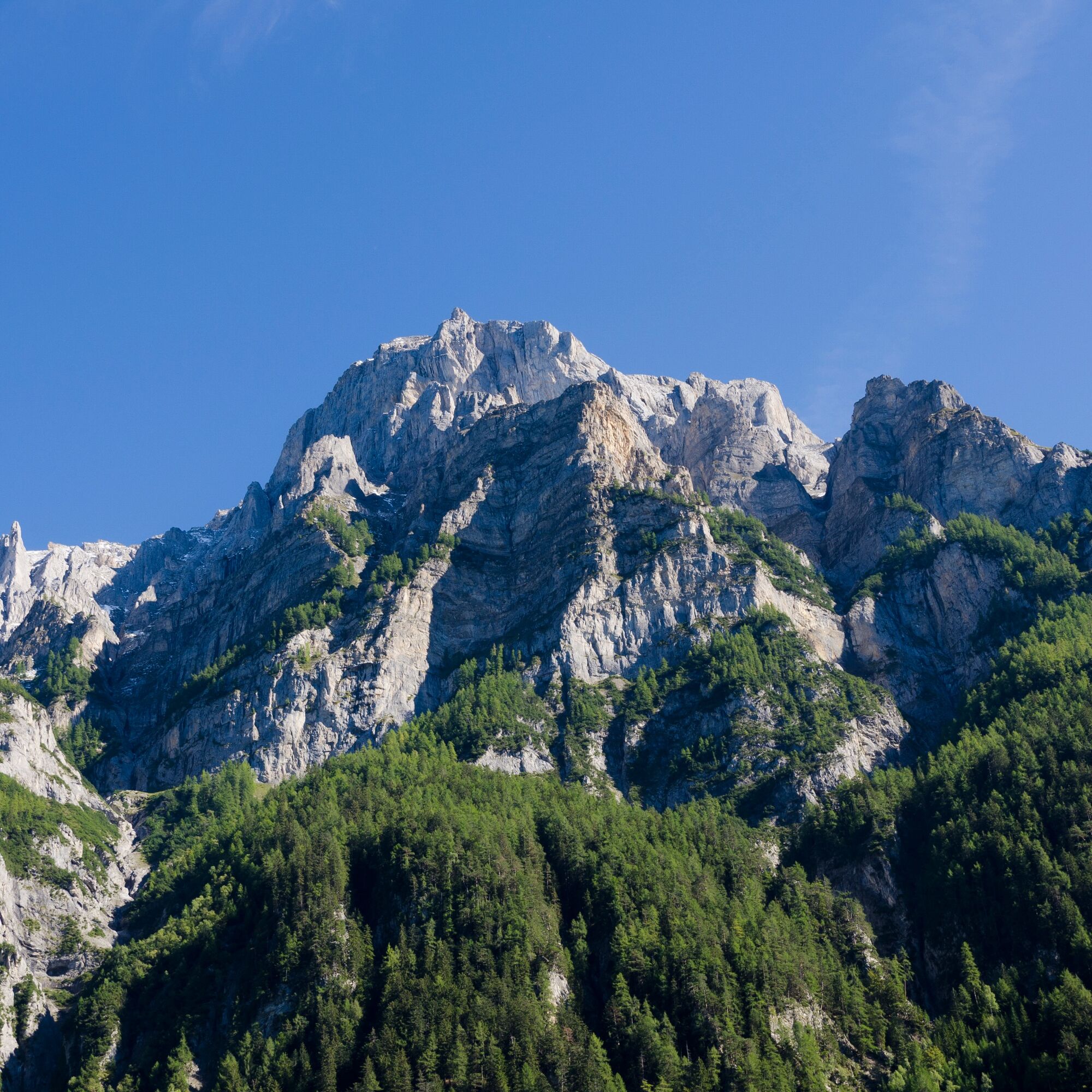
Through a wild valley basin with almost vertically rising mountain slopes on both sides, the route continues to Vättis. The final ascent to the pass now takes place away from traffic in pristine, magnificent landscapes. Shortly after the mountain restaurant Eggwald, the canton of St.Gallen is left behind; before reaching the pass summit, you are now in Graubünden territory.
At the transition from the Tamina Valley to the Rhine Valley, the great differences on either side of the watershed are astonishing. The descent to Tamins is ultimately a highlight with a view of the confluence of the Vorderrhein and Hinterrhein rivers.


Bad Ragaz - Valens - Vättis - Kunkel Pass - Tamins
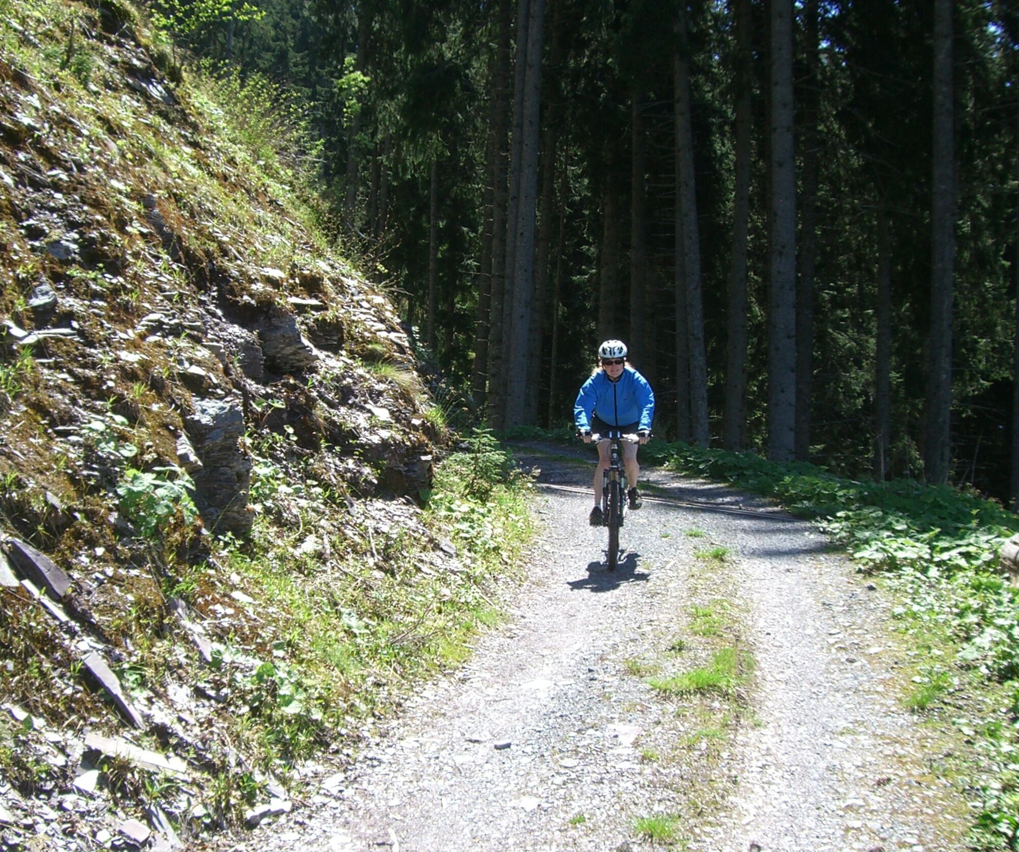
Normal bike equipment. Functional clothing is an advantage, as ascents and descents alternate.
The route partially runs on hiking trails; please be considerate of other trail users.
Motorway exit Bad Ragaz, then along the main road into Bad Ragaz village centre.
By train to Bad Ragaz.
Public parking available at the Zentrum parking garage (paid)
S1
Heidiland Tourism, Bad Ragaz information center
T +41 81 300 40 20
www.heidiland.com
A break at the mountain restaurant Eggwald on the Kunkel Pass.
Spletne kamere s turneje

Priljubljeni izleti v okolici
- 4,7
5-Seen Wanderung am Pizol
svetlobaPohodništvo 10,1 km - 4,6
Pizol - Batöni - Weisstannen
težkoPohodništvo 11,7 km - 4,7
Tamina Gorge Circular Route
srednjaPohodništvo 14,0 km - 4,6
Pizalun circular route
svetlobaPohodništvo 7,18 km - 4,8
Mountain hike to the Strudeltöpfe on Alp Mora: Bargis-Trin
težkoPohodništvo 18 km - 5,0
Circular hike Bettlerweg & 2-Lakes Hike Pizol
srednjaPohodništvo 11,4 km - 4,5
Pizol summit tour
srednjaPohodništvo 9,28 km - 4,2
Batöni Waterfall Arena
srednjaPohodništvo 8,24 km - 4,3
Historic Pinut via ferrata
srednjaVia ferrata 5,82 km - 4,7
St. Martin - Alp Sardona - St. Martin
srednjaPohodništvo 14,2 km
Pohodništvo in sledenje


Ne zamudite ponudb in navdiha za naslednje počitnice
Vaš e-poštni naslov je bil dodan na poštni seznam.





