


Chapfenberg Trail 491
The Outdoor Fitness Trails in the Heidiland holiday region include over 30 uniformly signposted running routes from a total of 10 stations, making it one of the largest outdoor fitness parks in the Alpine...
The Outdoor Fitness Trails in the Heidiland holiday region include over 30 uniformly signposted running routes from a total of 10 stations, making it one of the largest outdoor fitness parks in the Alpine region. The Chapfenberg Trail is one of three running routes around the Weesen station.
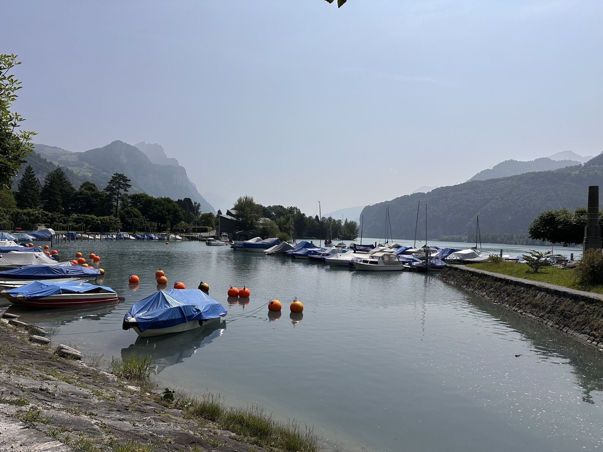
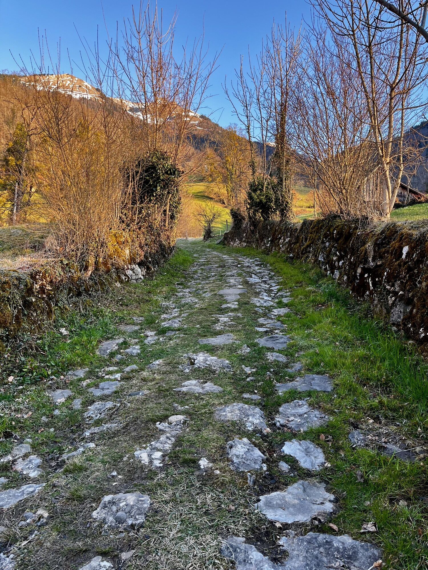
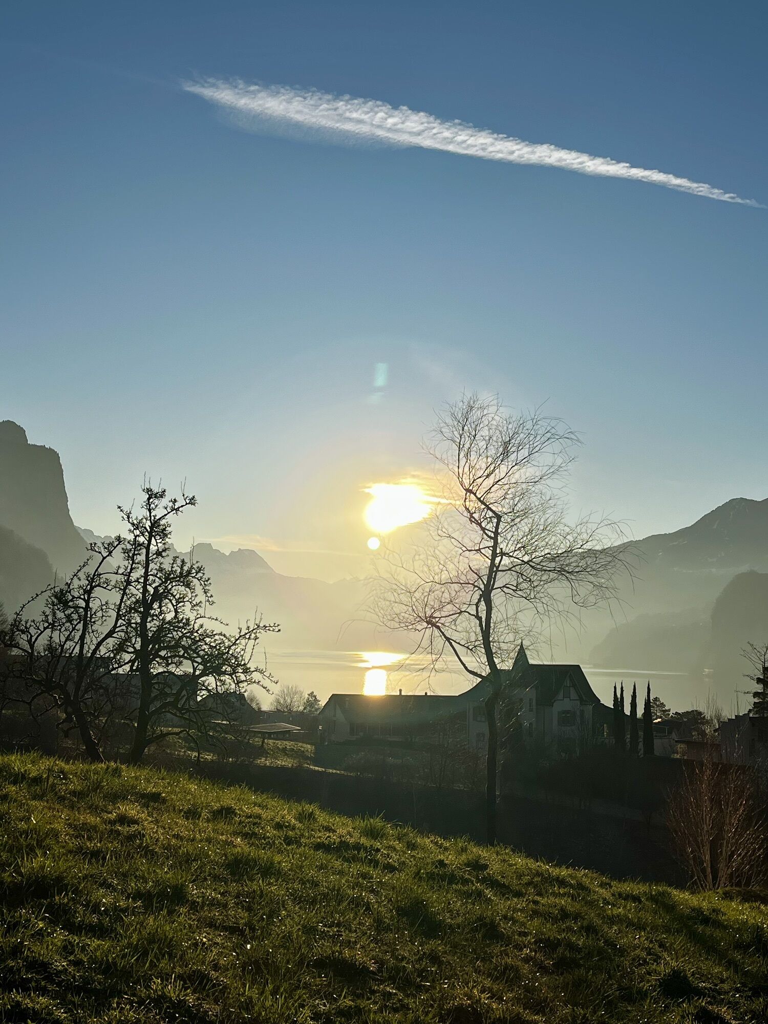
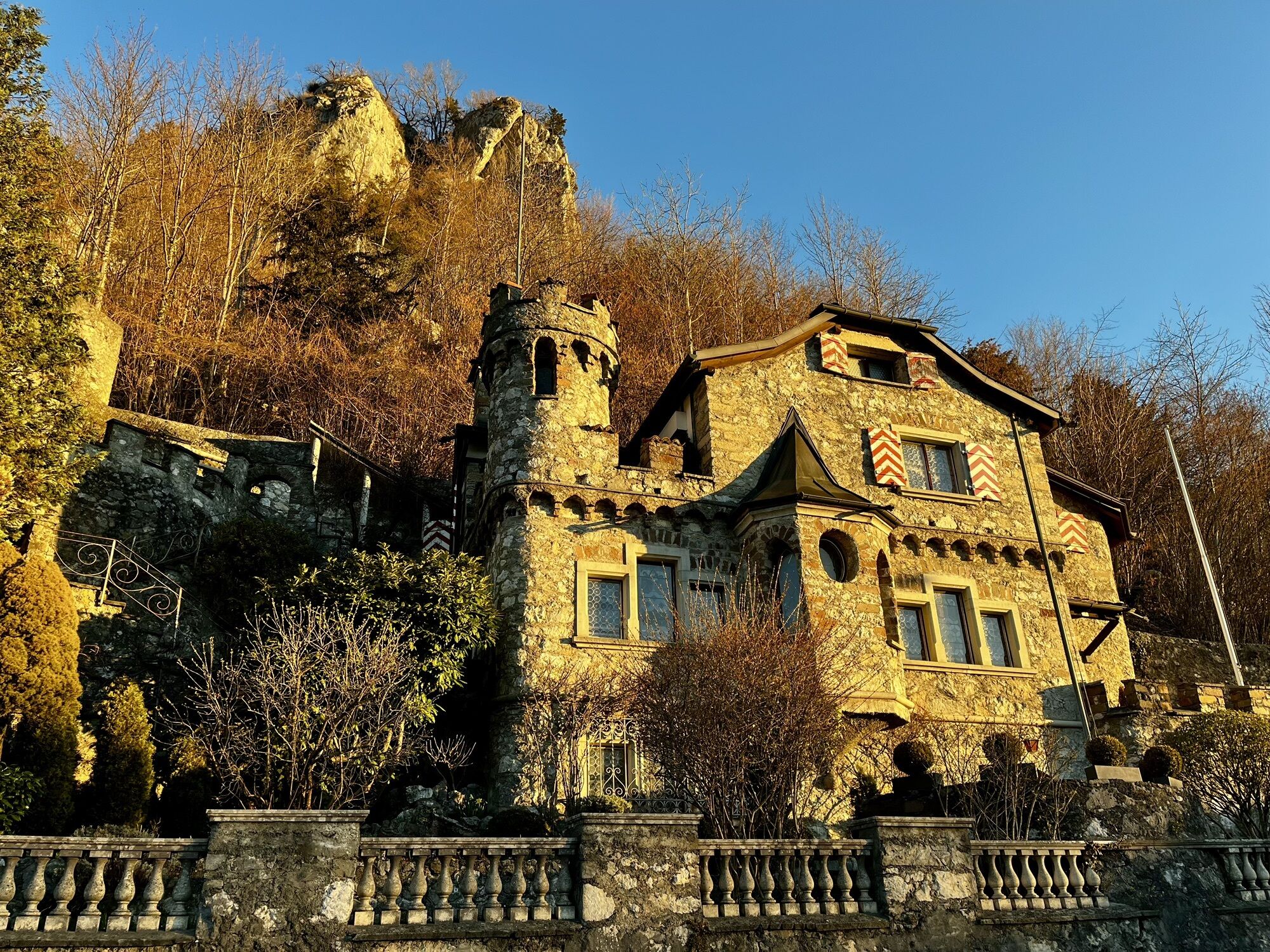
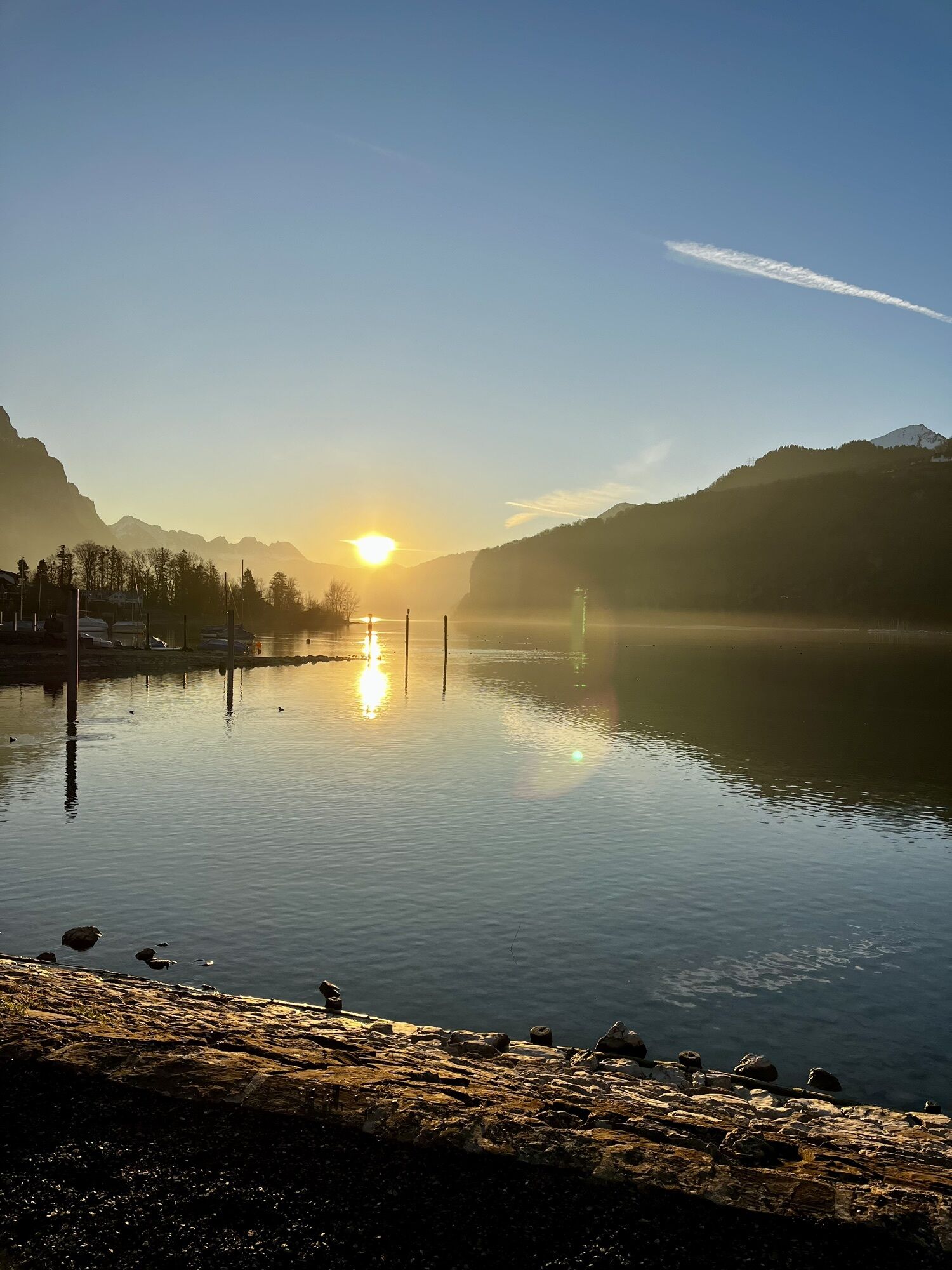
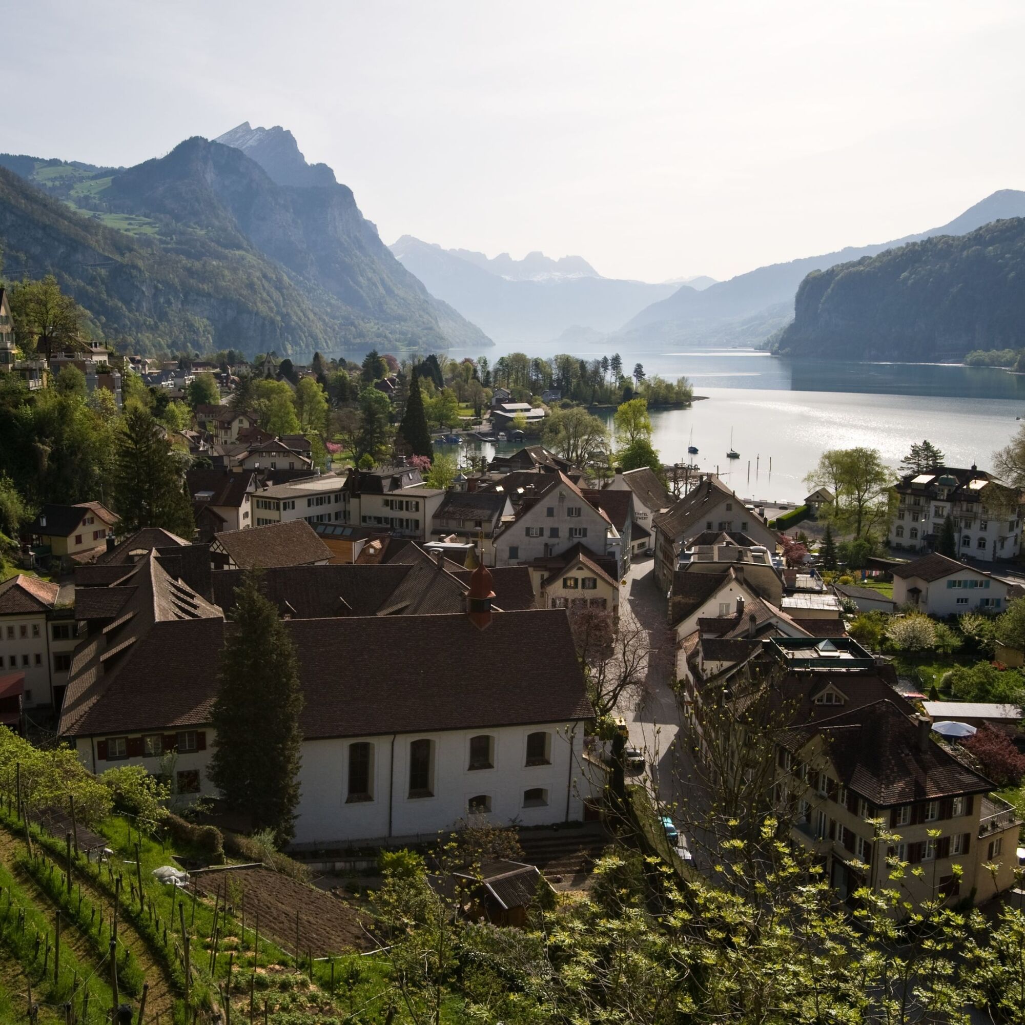
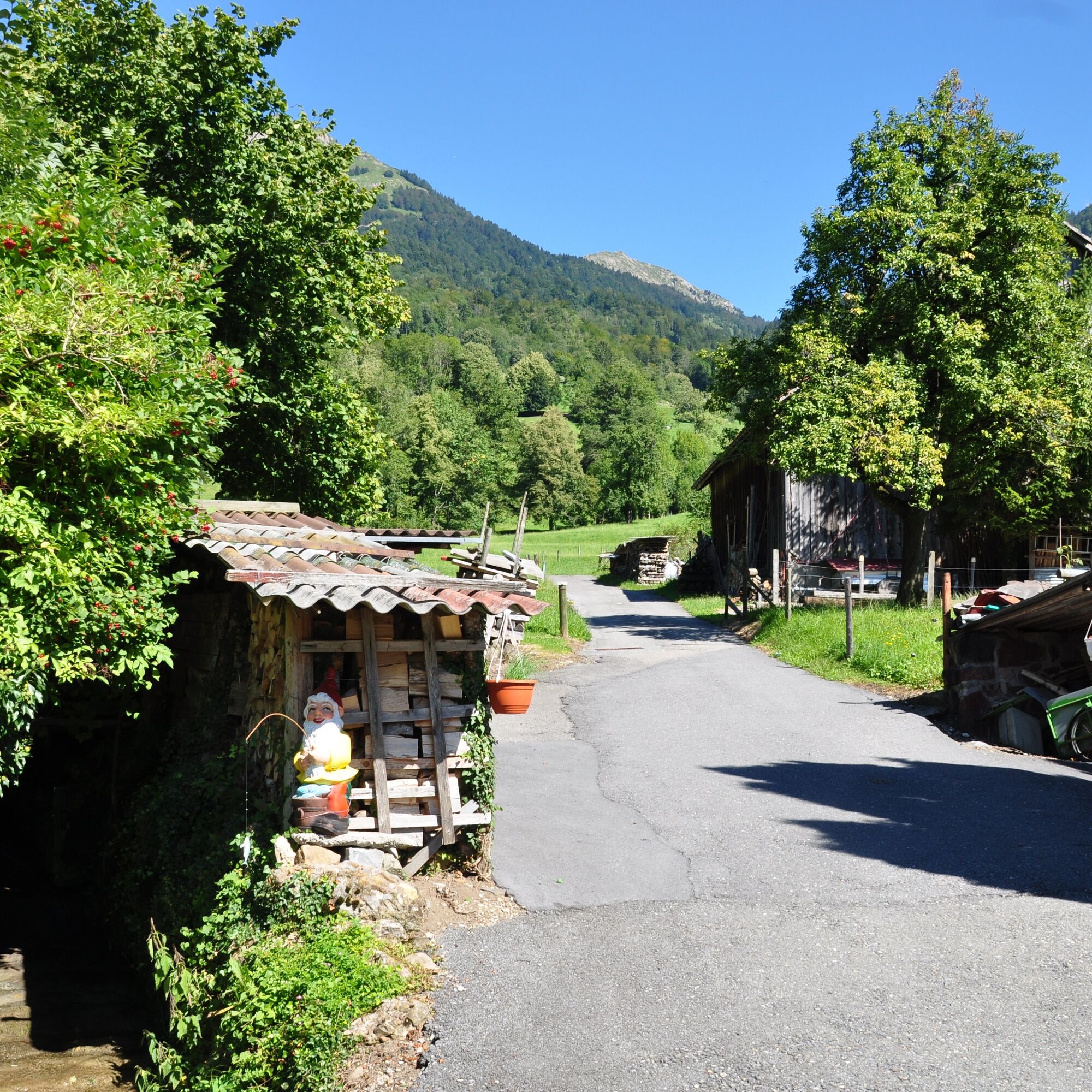
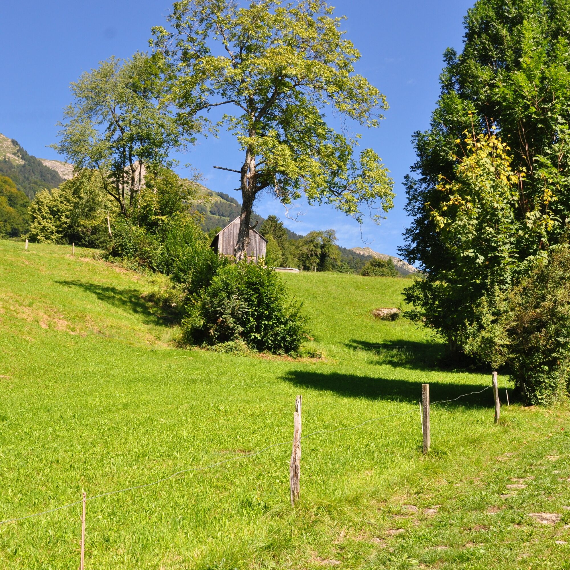
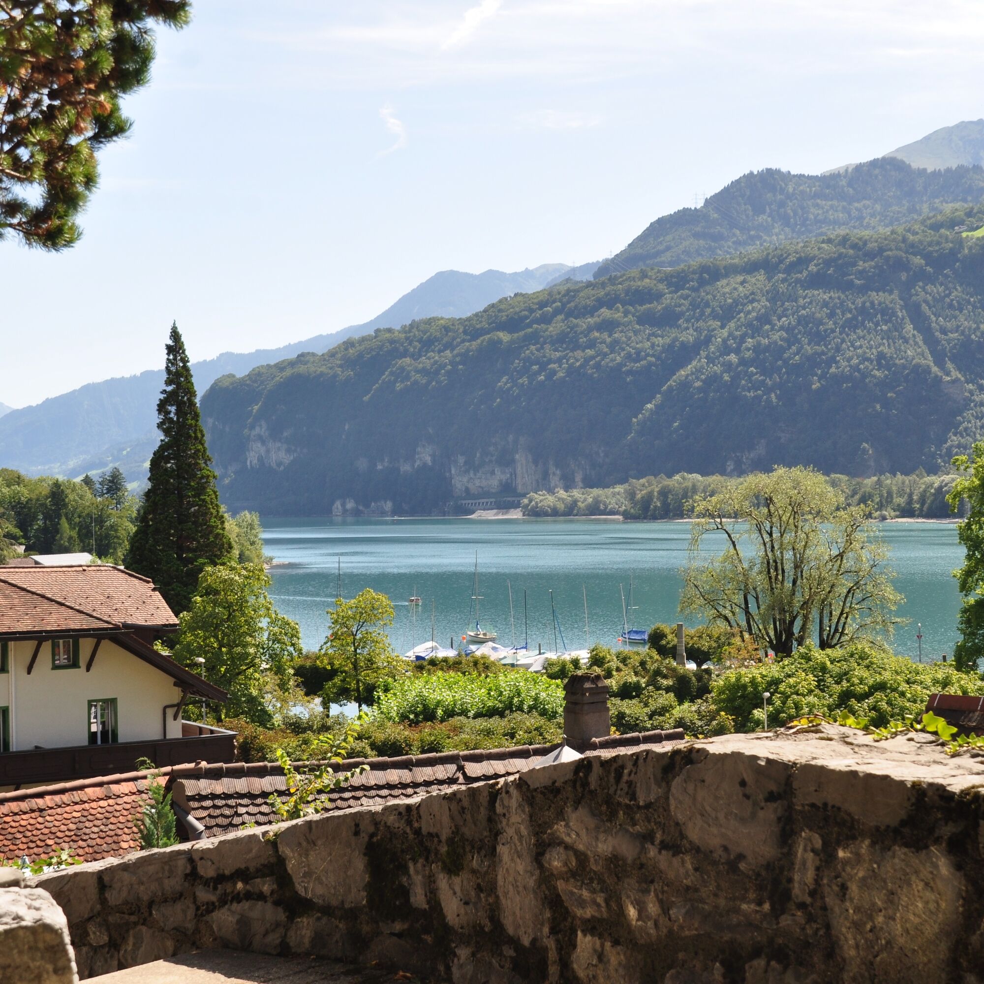
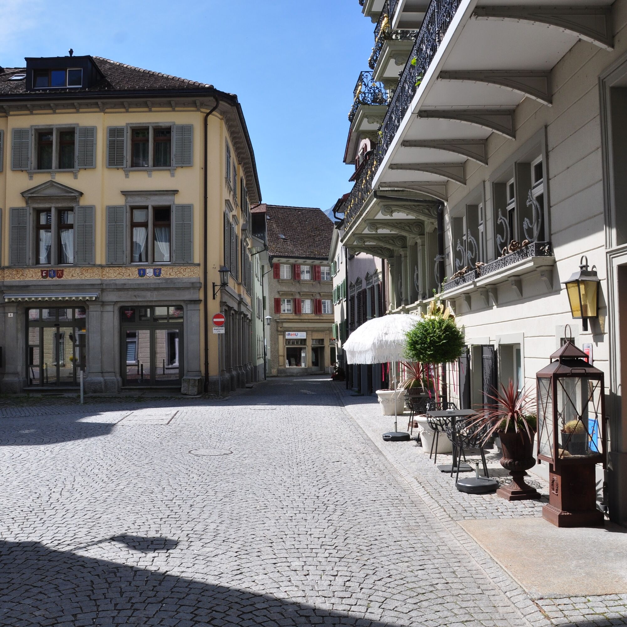
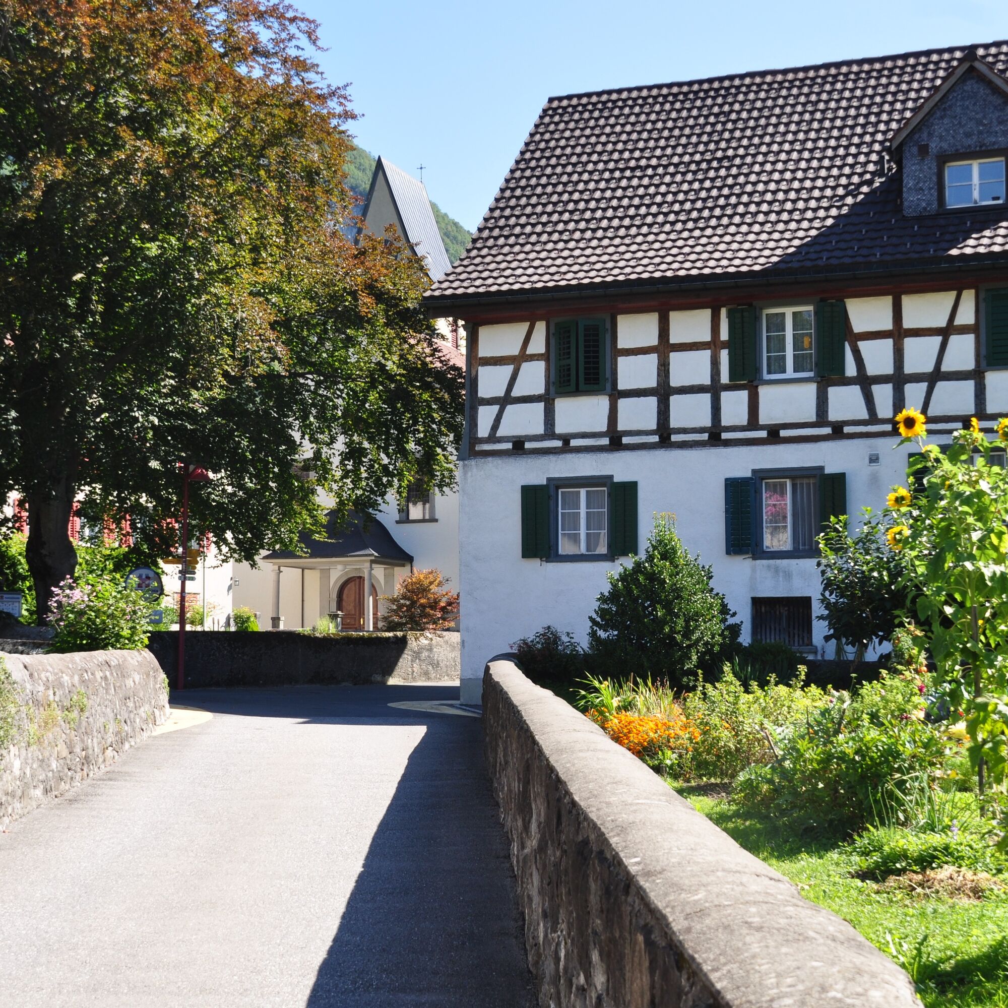
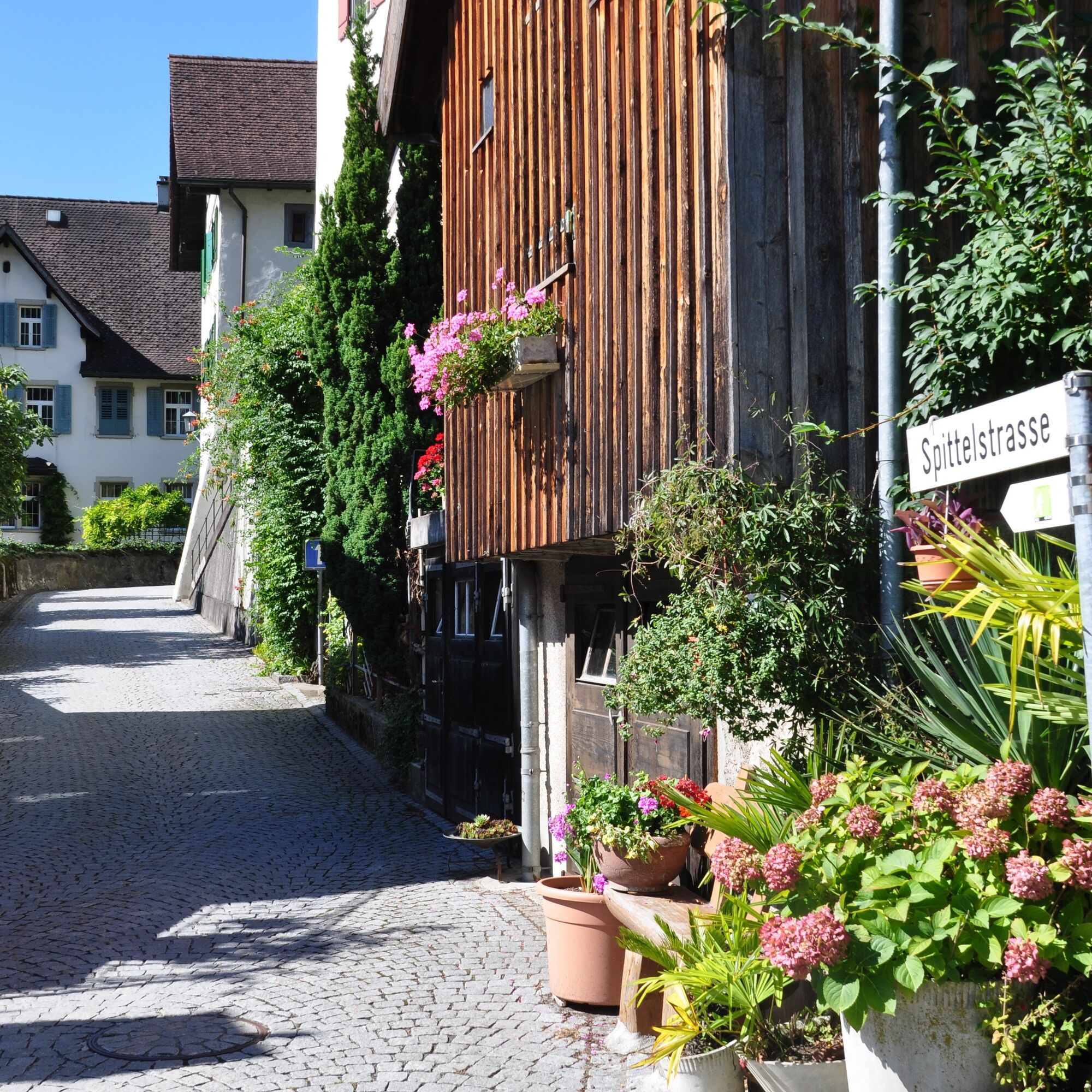
The starting point for this 2.6 km long trail is the info point of the Weesen station at the ship landing (423 m above sea level). The first section runs along the lake to the road that leads to Amden (428 m above sea level). As soon as you cross the road and reach the last houses on the northern edge of the village, a steep ascent begins on an agricultural path. This leads over meadows, through small deciduous forests, and past little streams to Salen (560 m above sea level). Once you reach the plateau, you have a magnificent view of the surrounding mountains and Lake Walen. After a short straight section, the trail turns left over a meadow towards Chapfenberg. After the relatively short meadow section, there follows an equally short section on a well-developed gravel path to Hundsiten. Here begins the steep and technically demanding descent over roots and stones through partly dense deciduous forest (caution: slippery when wet!). The interim goal is a small clearing with a beautiful view of the surrounding vineyards, Lake Walen, and the mountains. You have now left the technically difficult section behind, as the trail leads up to the village entrance above Weesen on stairs. Returning to the info point, the trail runs partly on cobblestone streets through picturesque alleys and lanes.

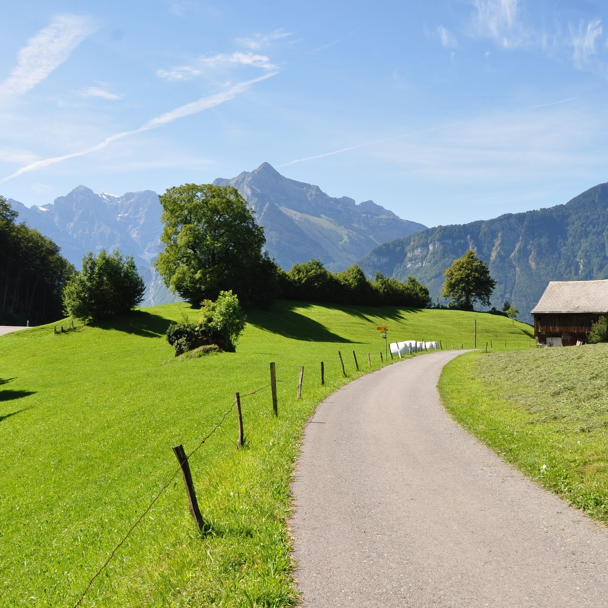
Weesen - Salen - Hundsiten - Weesen
Good and comfortable jogging gear.
Take the Weesen highway exit, then follow the main road to Weesen and then follow the signs to the lake.
Take the train to Ziegelbrücke and then the bus to Weesen See.
Public parking is available at the Weesen lake promenade (paid).
Heidiland Tourism
Info Point Unterterzen
T +41 81 720 17 17
www.heidiland.com
The Outdoor Fitness Trails mostly run on official hiking paths. Therefore, the hiking trail signage also helps with orientation along the way.
Priljubljeni izleti v okolici
- 4.7
Walensee Riviera Weesen - Quinten
srednjaPohodništvo 10.2 km - 4.7
Riviera Lake Walen Walenstadt-Quinten
srednjaPohodništvo 10.4 km - 4.6
4-Summit-Route Flumserberg
srednjaPohodništvo 8.65 km - 5.0
Schrina Alp and Cultural Trail
srednjaTematska pot 11.5 km - 4.7
Quinten-Trail 453
srednjaTek 8.97 km - 4.9
Quarten - Murgseehütte - Berggasthaus Murgsee - Glarus Nord
srednjaPohodništvo 14.7 km - 3.2
Route of amazement Flumserberg
svetlobaPohodništvo 8.03 km - 4.5
Amden - Speer (Rundkurs)
svetlobaPohodništvo 17.6 km - 4.8
Vorder Glärnisch
srednjaPohodništvo 4.64 km - 3.3
Seerenbach waterfalls
svetlobaPohodništvo 4.38 km

Pohodništvo in sledenje


Ne zamudite ponudb in navdiha za naslednje počitnice
Vaš e-poštni naslov je bil dodan na poštni seznam.