


Sardona World Heritage Trail No. 73, Stage 2
Fotografije naših uporabnikov
 © Erich Graf 2Ustvarjeno na 18.01.2025
 © Erich Graf 2Ustvarjeno na 18.01.2025
 © Erich Graf 2Ustvarjeno na 18.01.2025
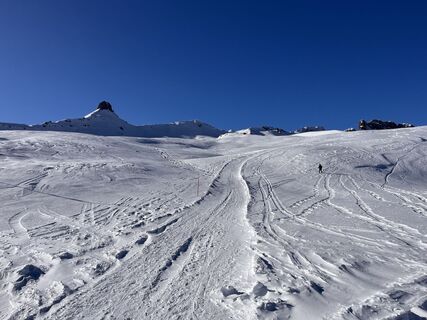 © Erich Graf 2Ustvarjeno na 18.01.2025
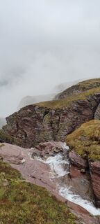
 © Joe TäschlerUstvarjeno na 27.05.2025
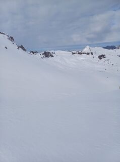
 © Marlyse LeuUstvarjeno na 16.02.2025
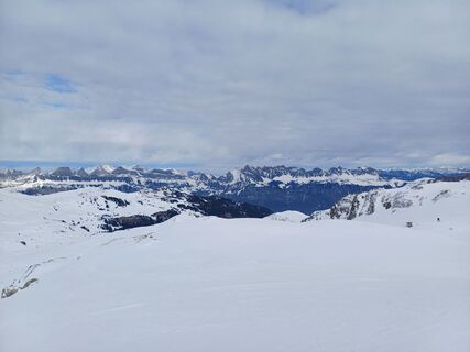 © Marlyse LeuUstvarjeno na 16.02.2025
 © Erich Graf 2Ustvarjeno na 18.01.2025
 © Erich Graf 2Ustvarjeno na 18.01.2025


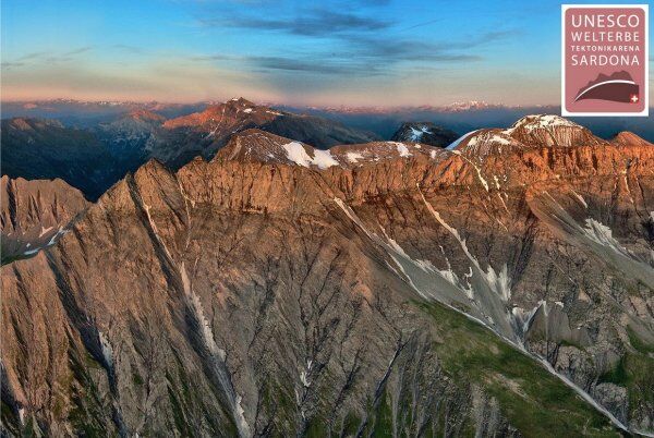
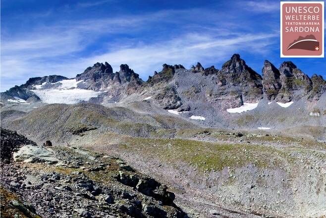
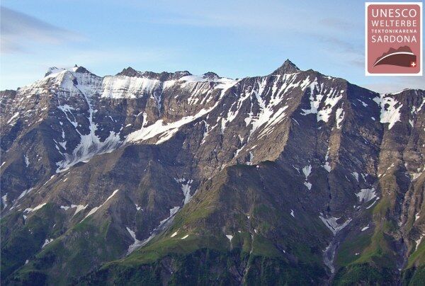
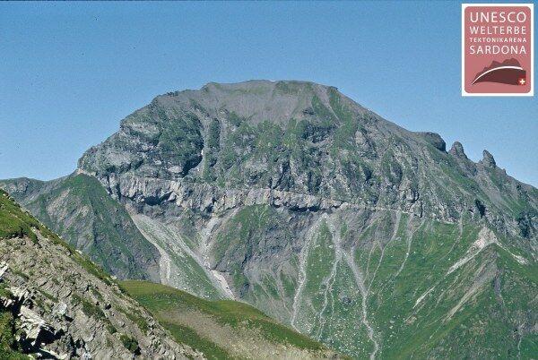
The Tektonikarena Sardona was inscribed as a UNESCO World Heritage Site because the processes of mountain formation are most clearly visible in this area worldwide. The central element is the Glarus thrust...
The Tektonikarena Sardona was inscribed as a UNESCO World Heritage Site because the processes of mountain formation are most clearly visible in this area worldwide. The central element is the Glarus thrust fault, a straight, magical line that can be observed over many kilometers: along this line, old rocks have been pushed over younger ones for more than 35 kilometers.
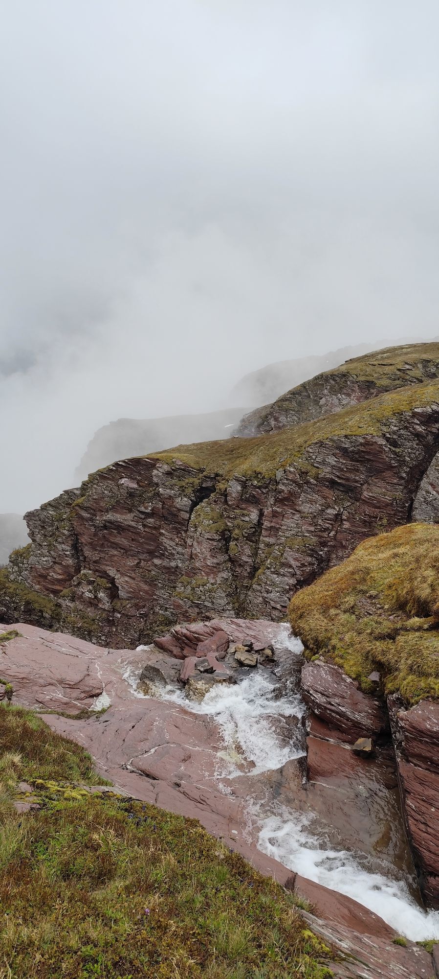
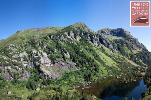
«Wind and weather» have been gnawing at the rocks for thousands of years: glacial polished rocks, moraines, lakes, gravel and flood plains, and rockfall slopes have formed, whose structures are still very well preserved in the largely untouched landscapes. The high density of dry meadows, moorlands, floodplains, hunting reserves, and geotopes, which are of national importance, form a valuable habitat into which ibex, after their extinction in Switzerland in 1911, have been reintroduced for the first time. In the mountain villages, many settlement traces of the Walser are still visible.
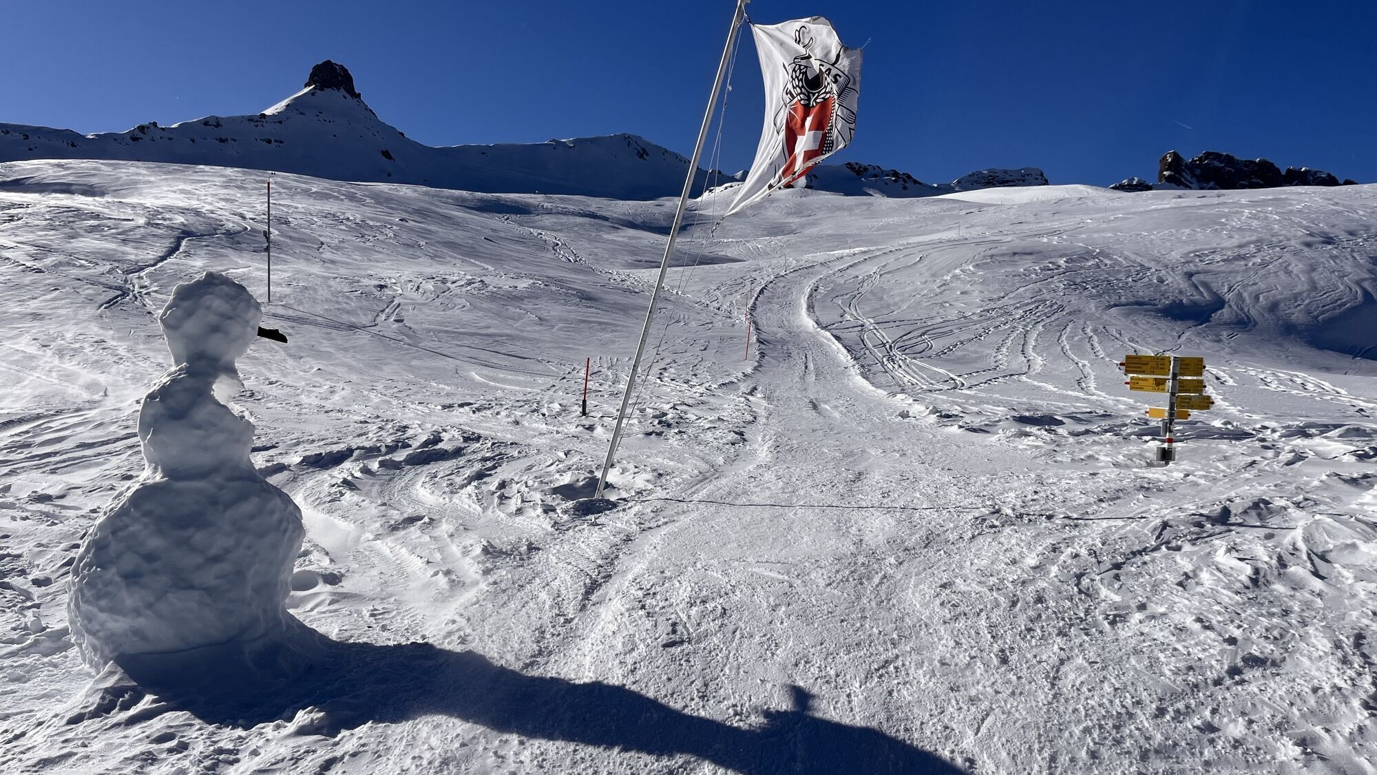
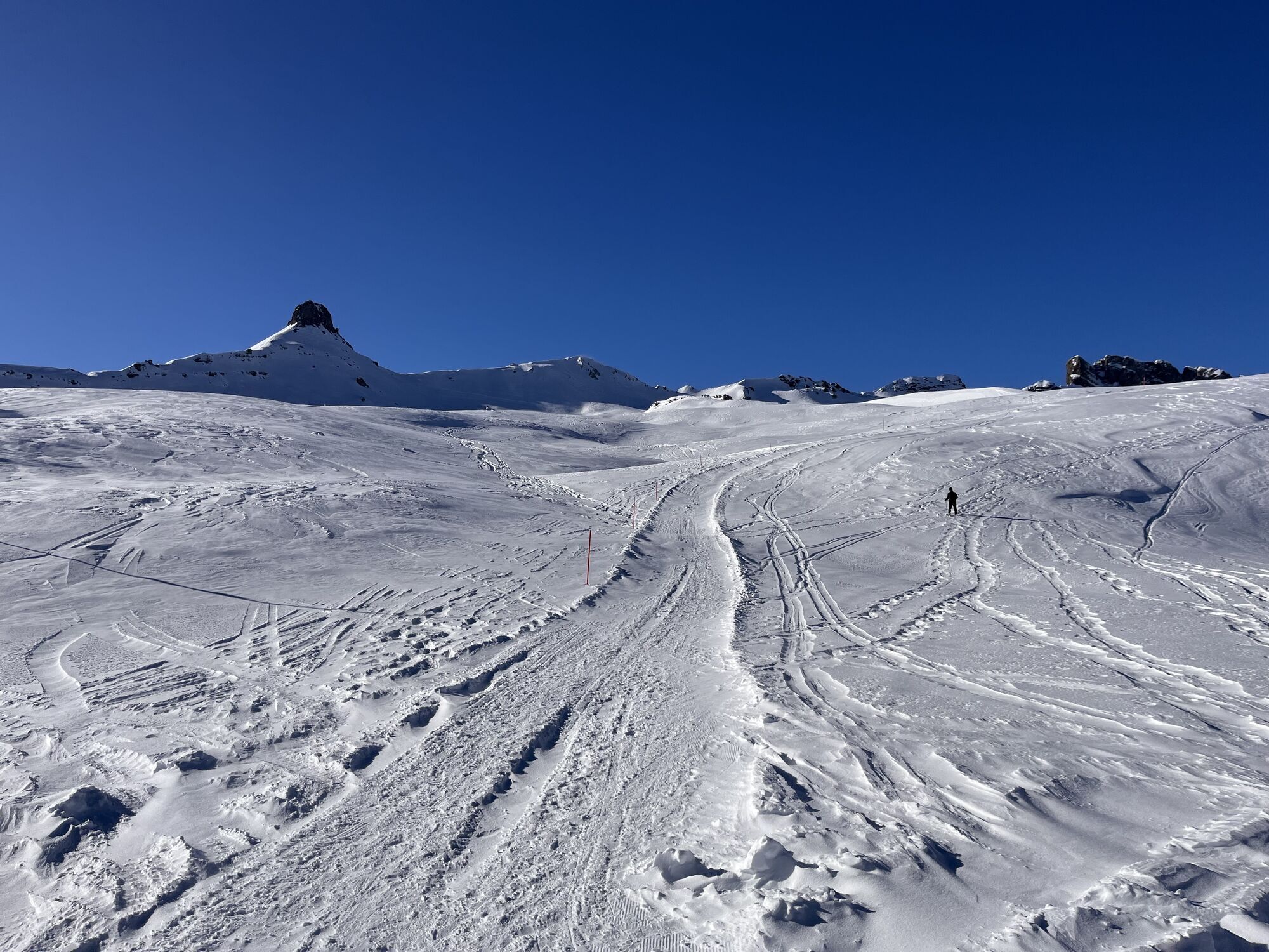
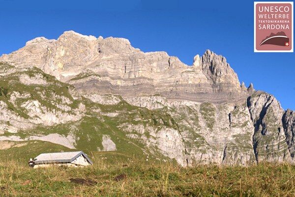
Stage 2: Murgsee - Spitzmeilenhütte
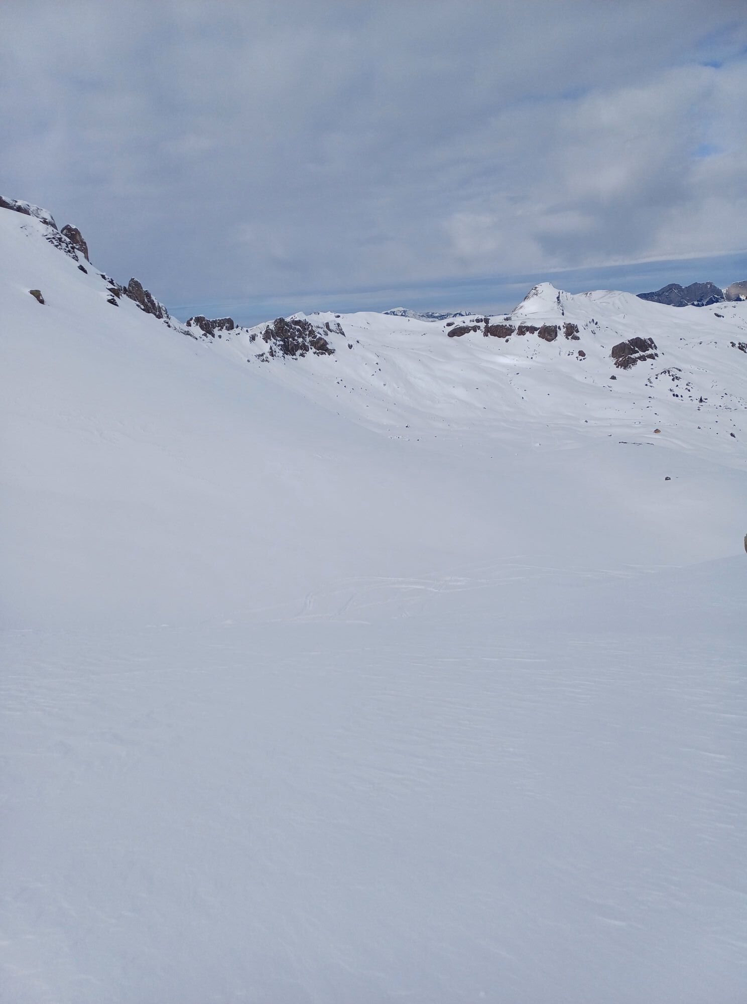
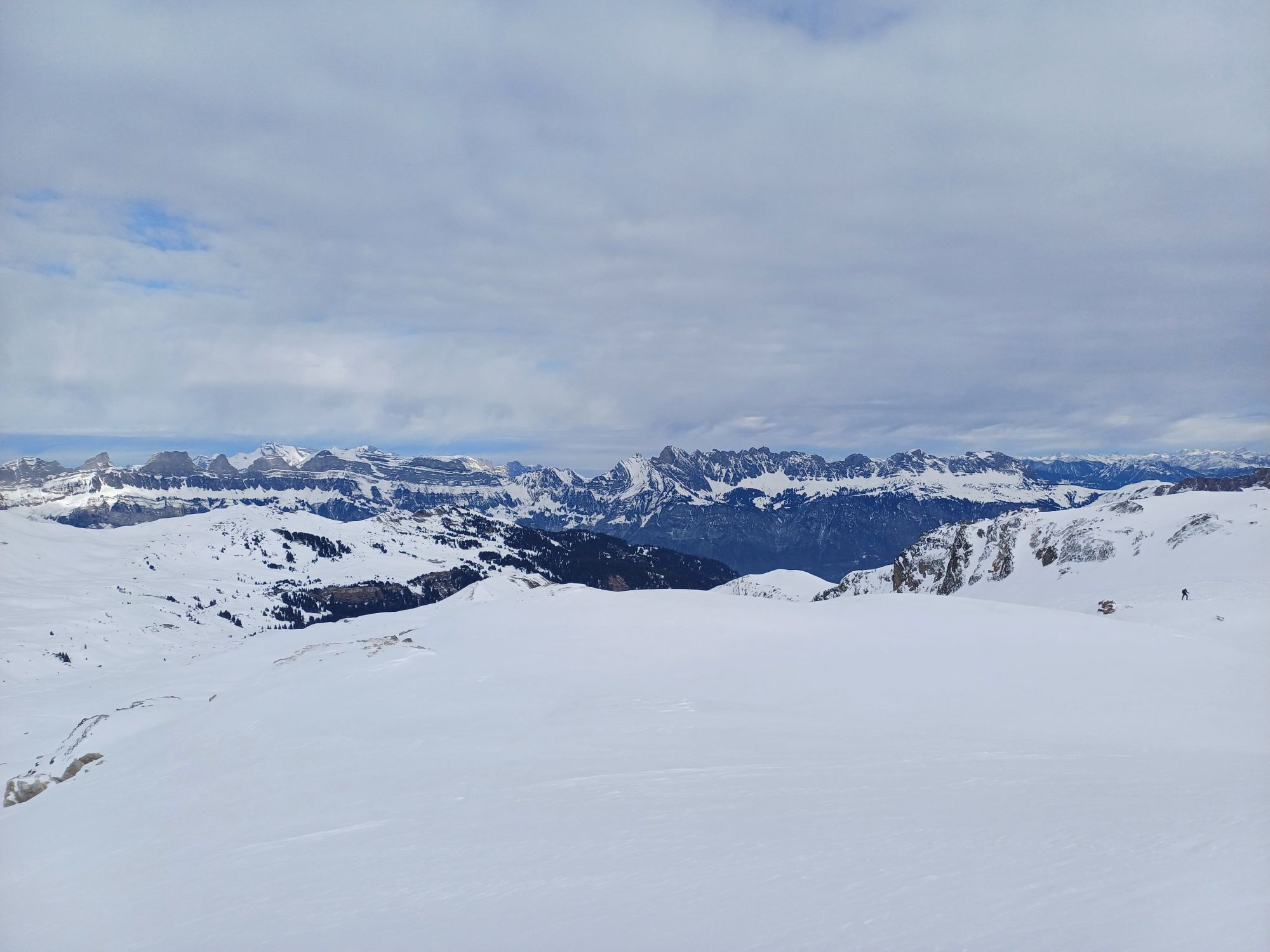
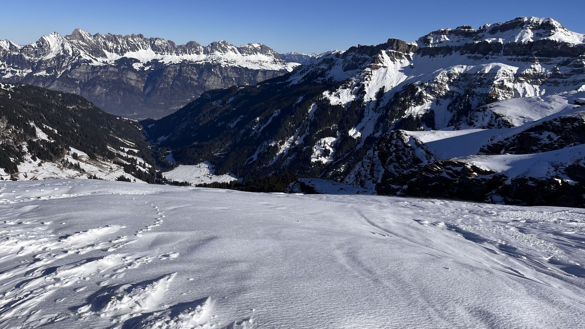
The second stage leads from the glacier-shaped, Scandinavia-like Verrucano landscape to the grass-covered sunny slopes in the Glarus Mühlibach valley and further past the Lias folds at the Magerrain and the gypsum phenomena at the Wissmeilen pass.
Note(s)
The Sardona World Heritage Trail can also be walked in stages. For those interested in geology, there is an accompanying brochure with geological and natural history information.
Bookable multi-day tour:
The Sardona World Heritage Trail can also be booked as a demanding multi-day tour including overnight stays and luggage transport (see below).

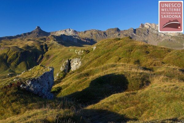
Murgsee hut - Widersteiner Furggel - Innerbergli - Übelis Stafel - Mühlibach valley - Wissmeilen pass - Madseeli - Spitzmeilen hut
See also
Heidiland Tourismus AG
Information office Flumserberg
Flumserbergstrasse 196
8898 Flumserberg Tannenboden
Tel. +41 (0)81 720 18 18
Fax +41 (0)81 720 17 18
Email: flumserberg@heidiland.com
Internet: www.heidiland.com
Kerenzerberg Tourism
P.O. Box 26
8757 Filzbach
Tel. +41 (0)81 720 35 70
Fax +41 (0)81 720 35 36
Email: info@glarusnord-tourismus.ch
Internet: www.glarusnord-tourismus.ch
Accompanying brochure and information: www.geopark.ch
Order HEIDILAND hiking map: www.heidiland.com/de/aktivitaeten-erlebnisse/sommer/wandern-klettern/wanderkarte-heidiland
Mountain inn Murgsee
P.O. Box 3
CH - 8882 Unterterzen
Satellite phone: +870 / 762 / 826 / 352
Tel: +41 (0)79 341 66 50
Internet: www.murgsee.ch
Spitzmeilenhütte SAC
Tel: +41 (0)79 600 58 11
Email: info@spitzmeilenhuette.ch
Internet: www.spitzmeilenhuette.ch
Priljubljeni izleti v okolici
- 4,7
Walensee Riviera Weesen - Quinten
srednjaPohodništvo 10,2 km - 4,7
Riviera Lake Walen Walenstadt-Quinten
srednjaPohodništvo 10,4 km - 4,6
4-Summit-Route Flumserberg
srednjaPohodništvo 8,65 km - 5,0
Schrina Alp and Cultural Trail
srednjaTematska pot 11,5 km - 4,7
Quinten-Trail 453
srednjaTek 8,97 km - 3,2
Route of amazement Flumserberg
svetlobaPohodništvo 8,03 km - 4,8
Vorder Glärnisch
srednjaPohodništvo 4,64 km - 3,3
Seerenbach waterfalls
svetlobaPohodništvo 4,38 km - 4,8
Flumserberg - panoramic bike no. 470
srednjaMountainbike 16,9 km - 4,5
Rundwanderung Mürtschenstock
srednjaPohodništvo 17,3 km

Pohodništvo in sledenje


Ne zamudite ponudb in navdiha za naslednje počitnice
Vaš e-poštni naslov je bil dodan na poštni seznam.