







ACCESSIBLE ROUTE - HIKING AT THE FOREST OF THE WRITER FIGHTERS
The Forest of the Writer Fighters trail stretches over 1.1 km, with 28 m of positive and negative elevation change and an average slope of 4.6% on a 1.50 m wide paved path. The route consists of two loops:...
This shaded walk offers a moment of calm and discovery amid diverse tree species: Atlas cedar, Laricio pine, Nordmann fir, Scots pine, Douglas fir, and even red oak from America.
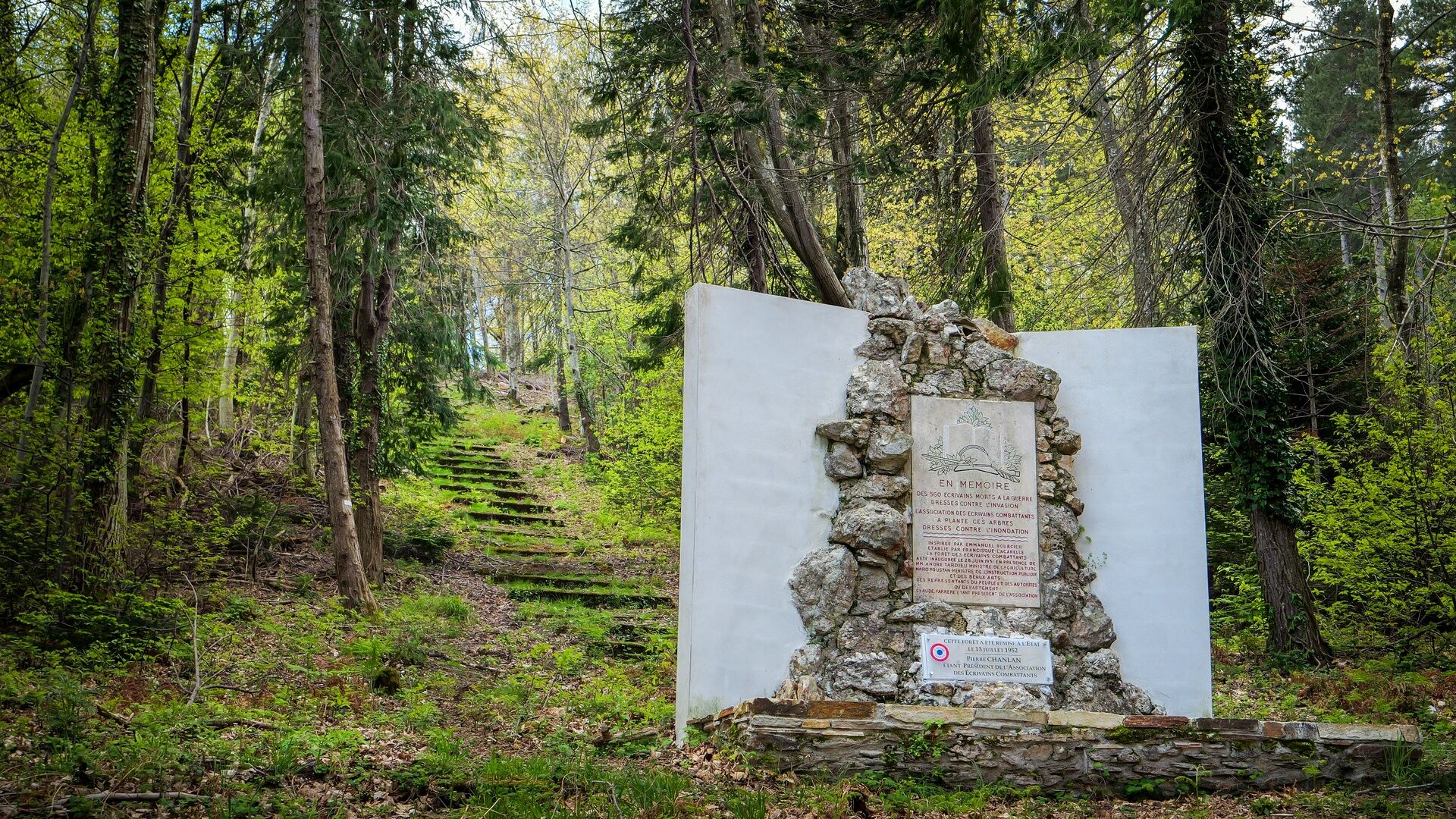
The state forest carries a strong symbolic dimension: it was reforested to fight erosion and to honor the writers who fell in combat. The trail is marked by 71 commemorative steles, some equipped with QR codes allowing to learn more about these authors.


1
The route is made up of 2 loops. One loop will require some demands on your right and a loop accessible independently despite a small rise on your left. Caution point: You will encounter a 9% slope before the start.
2
On your journey, you will encounter slopes up to 10%, side slopes of 12%, and a passage reaching 16%, then 8% before a series of descending switchbacks that may reach 12%. The return to the starting point includes a brief 16% side slope.
3
You will encounter slopes limited to 6%.
D22E4, D180 > St Vital, > parking
PMR refuge areas are indicated along the route to facilitate emergency services intervention (Samu 15, Police 17, Firefighters 18, single emergency number 112, SMS 114 for deaf or hard of hearing persons). Mobile coverage remains limited depending on operators.
Four PMR parking spaces are arranged with vertical and horizontal marking in wooden logs. They measure 3 m wide, on a stabilized earth surface. The parking lot also includes about twenty non-marked spaces. Parking is about 100 m from the site entrance, accessible via a 9% gradient road segment.
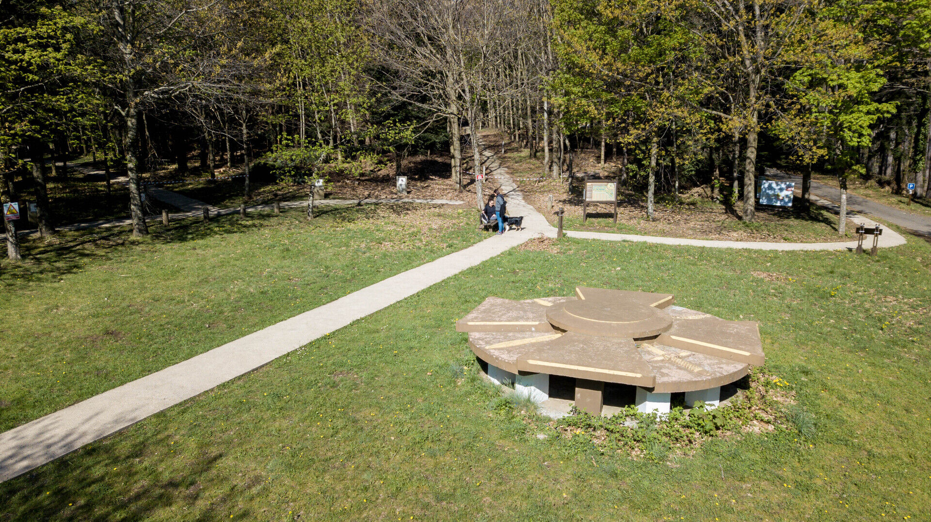
A map is available at the entrance, and the path is clearly identifiable on the ground.
No sanitary or water points are available on this nature walk.
+33 4 67 95 08 79
Lamalou-les-Bains Tourist Information Office
Priljubljeni izleti v okolici
- 4.0
GORGES DE COLOMBIERES HIKE
srednjaPohodništvo 12.0 km - 5.0
HIKING OF THE HÉRIC GORGES VIA THE ORIENTATION TABLE
srednjaPohodništvo 16.3 km - 4.0
CAROUX SUMMIT HIKE
srednjaPohodništvo 7.94 km - 5.0
HIKING OF THE L'ESPAZE ARBORETUM
srednjaPohodništvo 12.3 km - 5.0
HIKING ROUTE OF THE TERRASSES DE L'ESPINOUSE
srednjaPohodništvo 16.8 km - 3.0
CYCLE LOOP No. 29 - FROM THE VALLEYS TO THE PEAKS OF HAUT-LANGUEDOC
srednjaKolesarjenje 64.3 km - 5.0
HIKING THE RED ROCK
srednjaPohodništvo 7.01 km - 5.0
OENORANDO® THE VALLEY OF AROMAS
srednjaPohodništvo 13.7 km HERIC GORGES ROAD - MONS LA TRIVALLE
srednjaPohodništvo 9.38 kmHIKE OF SAINT MICHEL DE MOURCAIROL
srednjaPohodništvo 11.7 km
Pohodništvo in sledenje


Ne zamudite ponudb in navdiha za naslednje počitnice
Vaš e-poštni naslov je bil dodan na poštni seznam.





