







The Auzerals Lake
Presence of brick
In the Tarn plain, clay is everywhere. Difficult to get out of it on wet days! But the clay smiles when it changes from a lump to a brick, when this common material becomes unique. Not...
In the Tarn plain, clay is everywhere. Difficult to get out of it on wet days! But the clay smiles when it changes from a lump to a brick, when this common material becomes unique. Not by quantity, it abounds! But by the fruit of metamorphosis which allows it to dress in subtle colors for the best of regional architecture. Toulouse pink but Rabastens, Gaillac and Albi reds. Finally, reds... Red spotted with a thousand white particles, faded red, dark red, loyal red... An accomplice to architectural imagination, the brick can be simple for the suburbs, refined for the private mansions of Castres and Albi. Now, it has other attractions: healthiness, thermal capacity in particular.

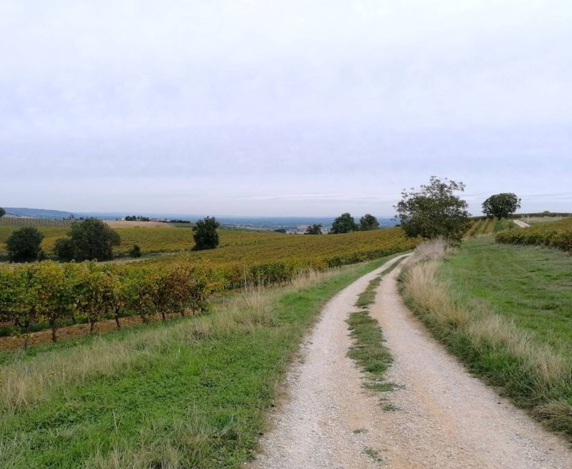
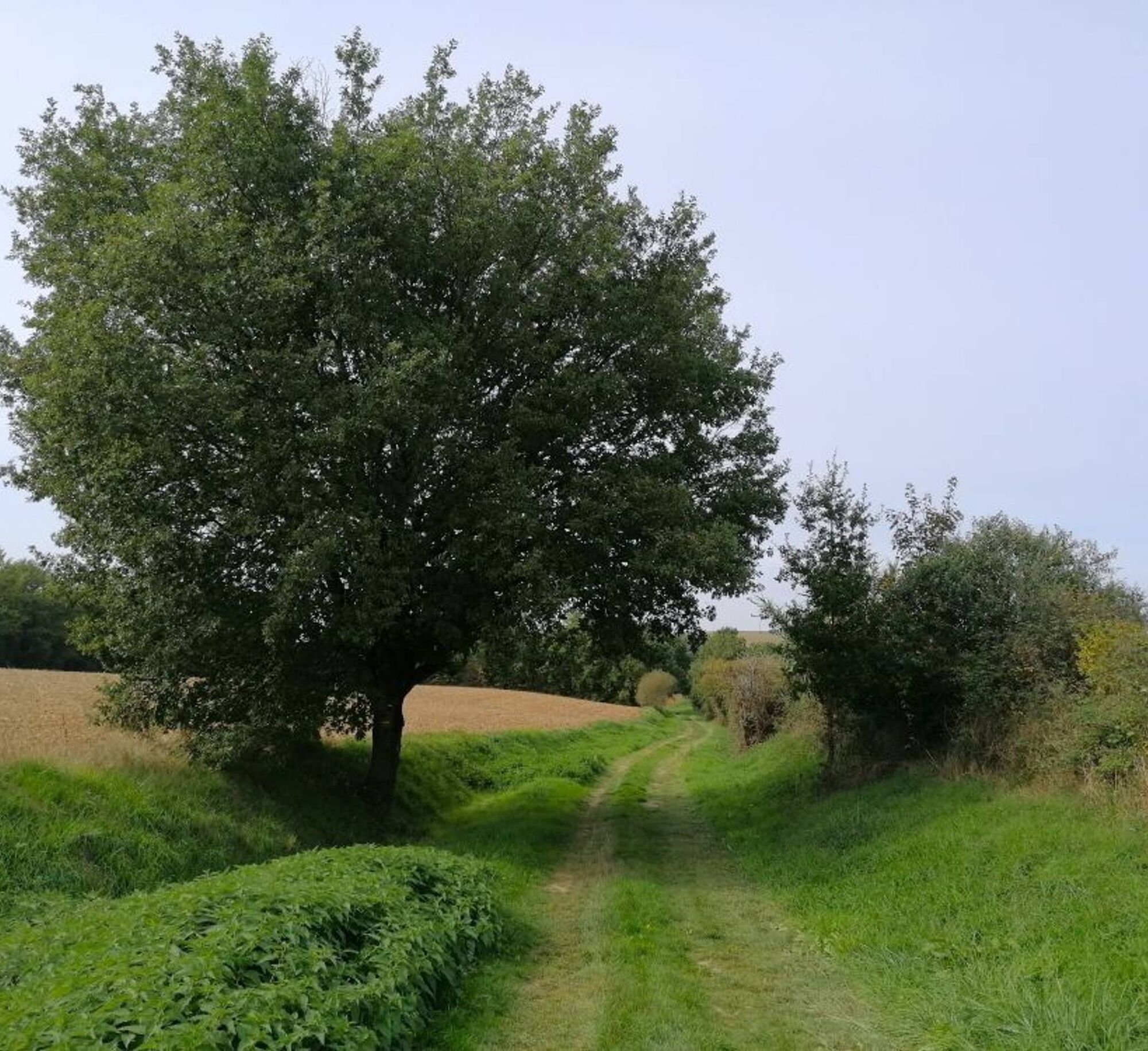
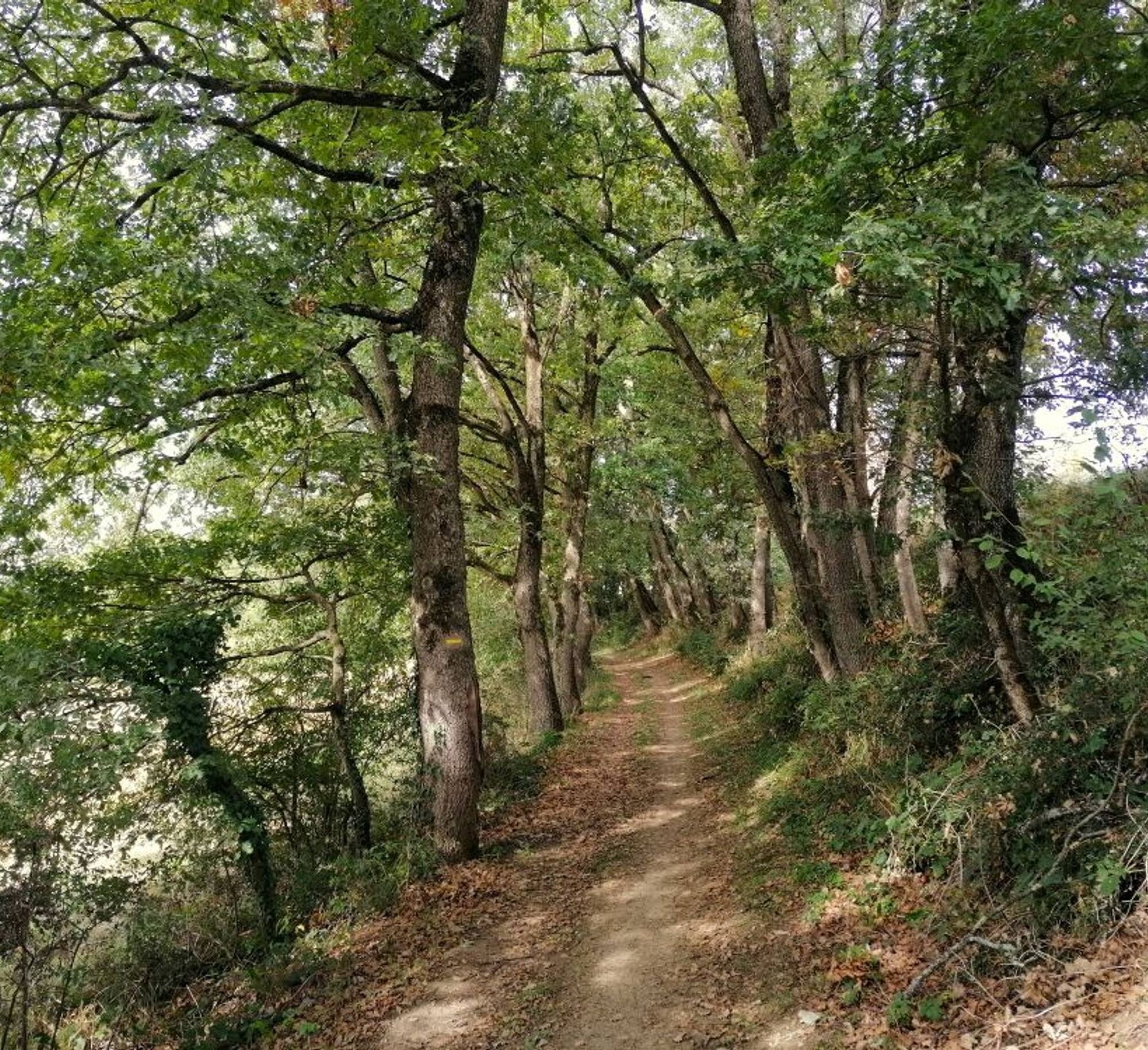
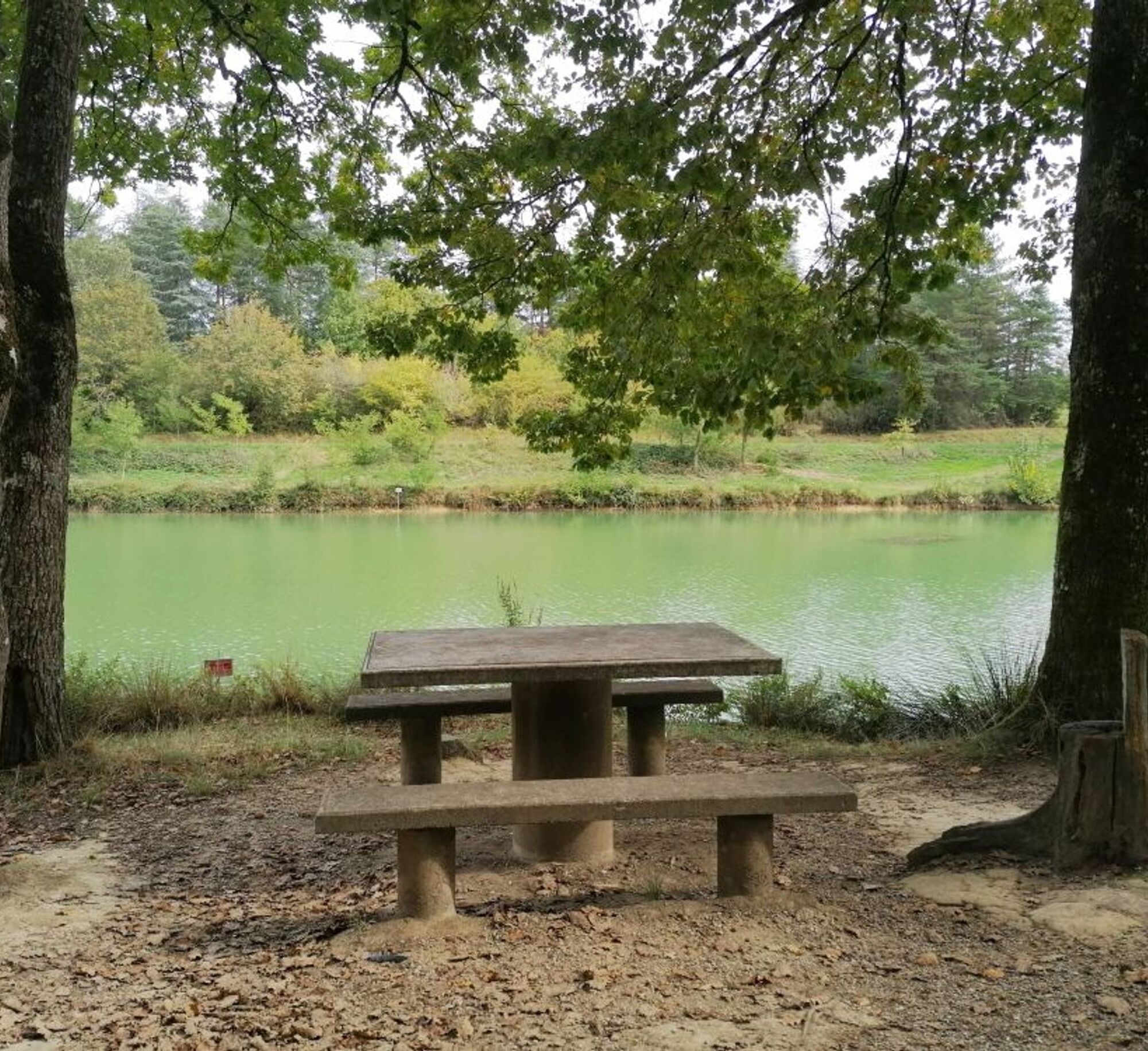
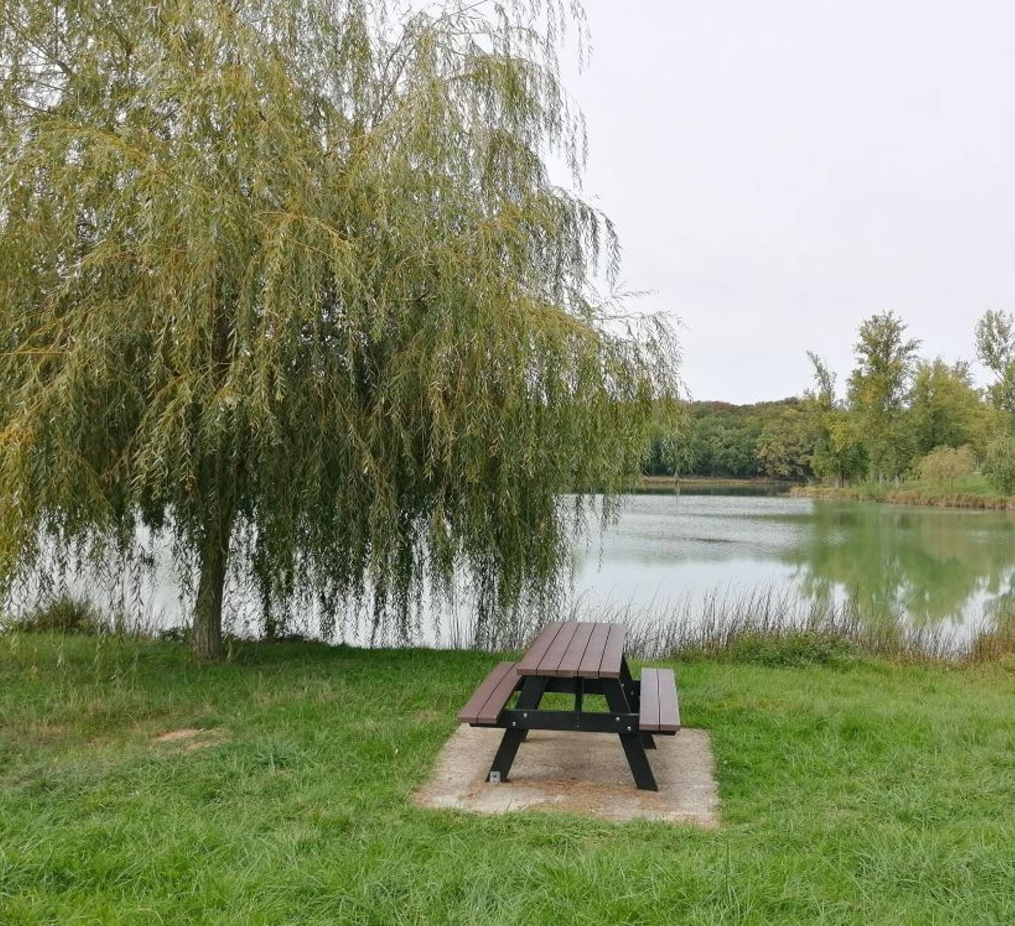
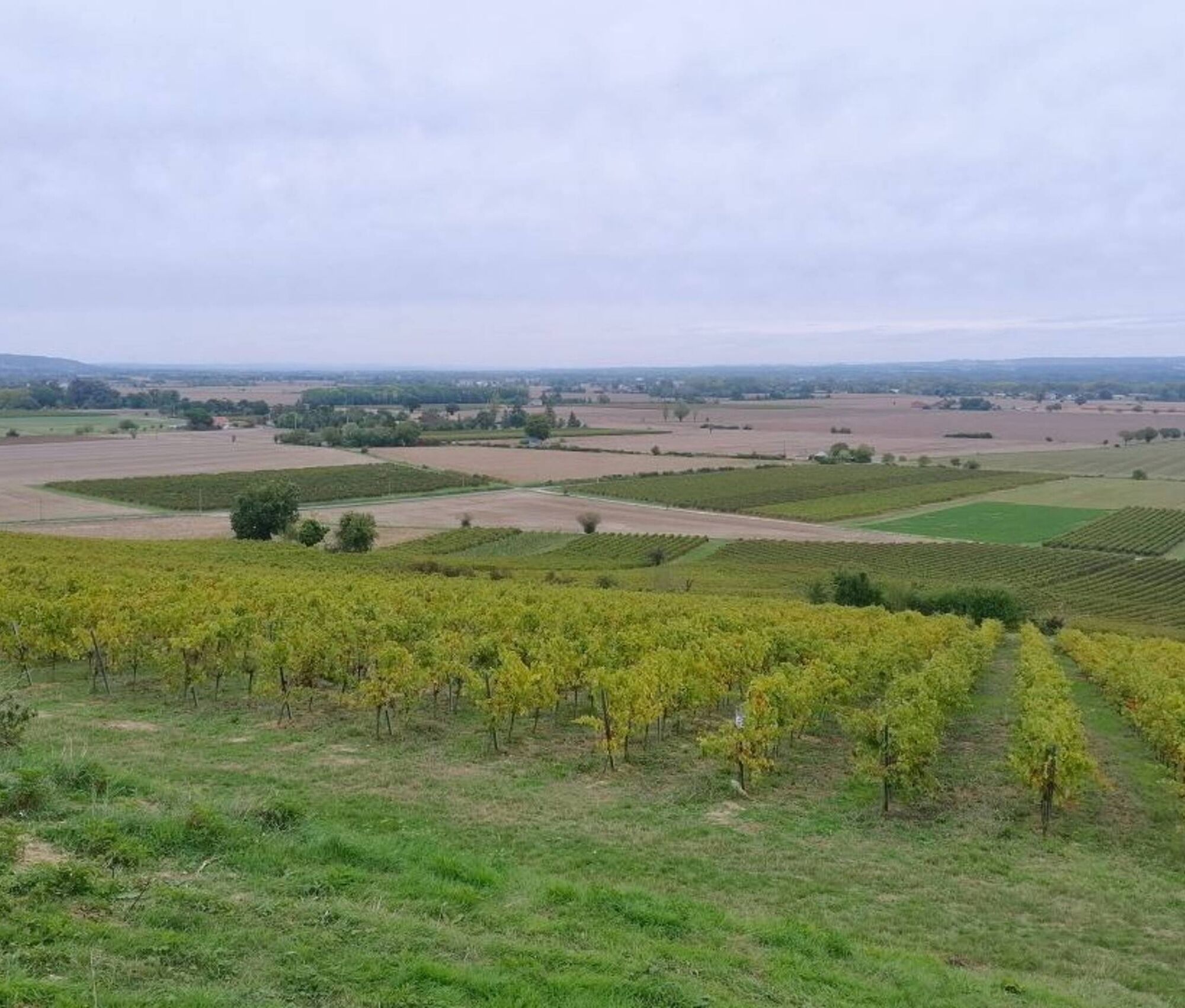

1. Facing the town hall, go right at Auger-Gaillard square. After the shops, take the stairs on the right descending towards rue des abreuvoirs. Continue right towards the departmental road. Cross the RD988. At the Y junction of chemin du Coteau, turn left. On route de Puycheval, turn right. In the housing estate, go straight. At the exit, take the right path. Cross the road.
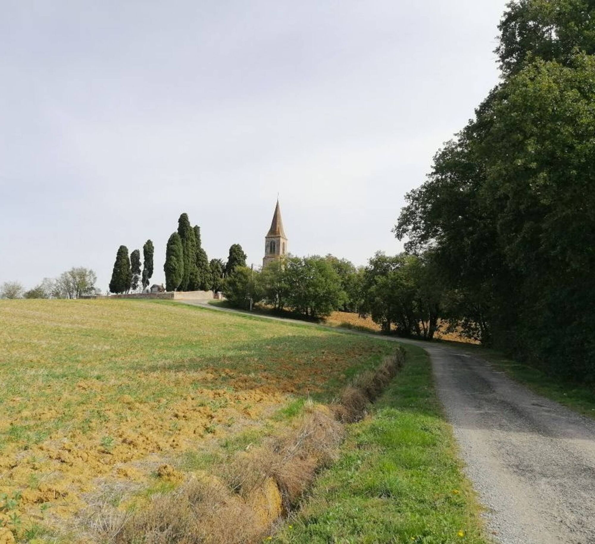
2. Cross the D 18; 10 m further, turn right. Cross the road. On the track facing the Cabirol farm, turn right towards the church. Pass in front. At the Y junction on the road, turn left. At the Y junction of the Faures calvary, again turn left.
3. At the Y junction of the Auzerals, climb to the right. At the next bend, also right. Pass in front of the Grave. At the Y junction of Ferruc, descend the path on the right. At the bottom of the valley, go right towards the lake. Bypass the water body on the right and return to the valley entrance. Enter the valley on the right.
4. At the crossroads of paths, 80 m later, turn right onto a path in the undergrowth. At the height of a house, follow the drivable track leading to an intersection. Turn left. Leave the access road to Cunacs. Continue straight until the road. Climb opposite the water reservoir path. Pass it by taking the right. Descend towards the road.
5. Take the D 2 right then cross it to engage on the trail leading to the access road to Fourtet. Follow it on the left and, facing the vineyard, take the path on the right. At the Y junction (point elevation 219 m), continue on the path to the right, then use the road on the left. At the Y junction of the Maurole, turn onto the left road, then take the D 18 pedestrian path to the right. Pass near the college and enter Rabastens. In town, go straight ahead and, on the promenade des Lices, turn right towards Toulouse.
Intermediate
Priljubljeni izleti v okolici
-
Sentier des pays d'en haut
srednjaPohodništvo 13.2 km -
Mountain Biking Trail: Grande Boucle Bastides and Vineyards of Gaillac
težkoMountainbike 144.4 km -
Potters' Loop
svetlobaPohodništvo 6.38 km -
Vallons et forêts
težkoPohodništvo 30.1 km -
Tour du Tarn on horseback: Lisle-sur-Tarn / Puycelsi
težkoJahanje 28.4 km -
Sentier de la plaine d'Agout
svetlobaPohodništvo 6.74 km -
Oenorando® Vignes & clochers
svetlobaPohodništvo 8.16 km -
Plain trail
težkoPohodništvo 20.5 km -
Oenorando® Dans les pas d'Amédée le vigneron
svetlobaPohodništvo 7.42 km -
Mountain Bike Route 2: Rabastens to Saint-Martin
težkoMountainbike 30.5 km
Pohodništvo in sledenje


Ne zamudite ponudb in navdiha za naslednje počitnice
Vaš e-poštni naslov je bil dodan na poštni seznam.





