Cathar Trail GR®367
težko
Pridobite to turo v svoj mobilni telefon
Cathar Trail GR®367
težko
Pohodništvo
261.33
km
Skenirajte kodo QR in začnite navigacijo v aplikaciji bergfex.


Pohodništvo in sledenje





Cathar Trail GR®367
težko
Razdalja
261.33
km
Trajanje
06:30
h
Ascent
8,239
hm
Morska gladina
1 -
1,351
m
Prenos skladbe
Cathar Trail GR®367
težko
Pohodništvo
261.33
km
To "walk" the Sentier Cathare GR®367 is to plunge into a poignant history. It means discovering the "Cathar castles", places where terrible battles took place, places of faith and resistance. The trail...
Opis
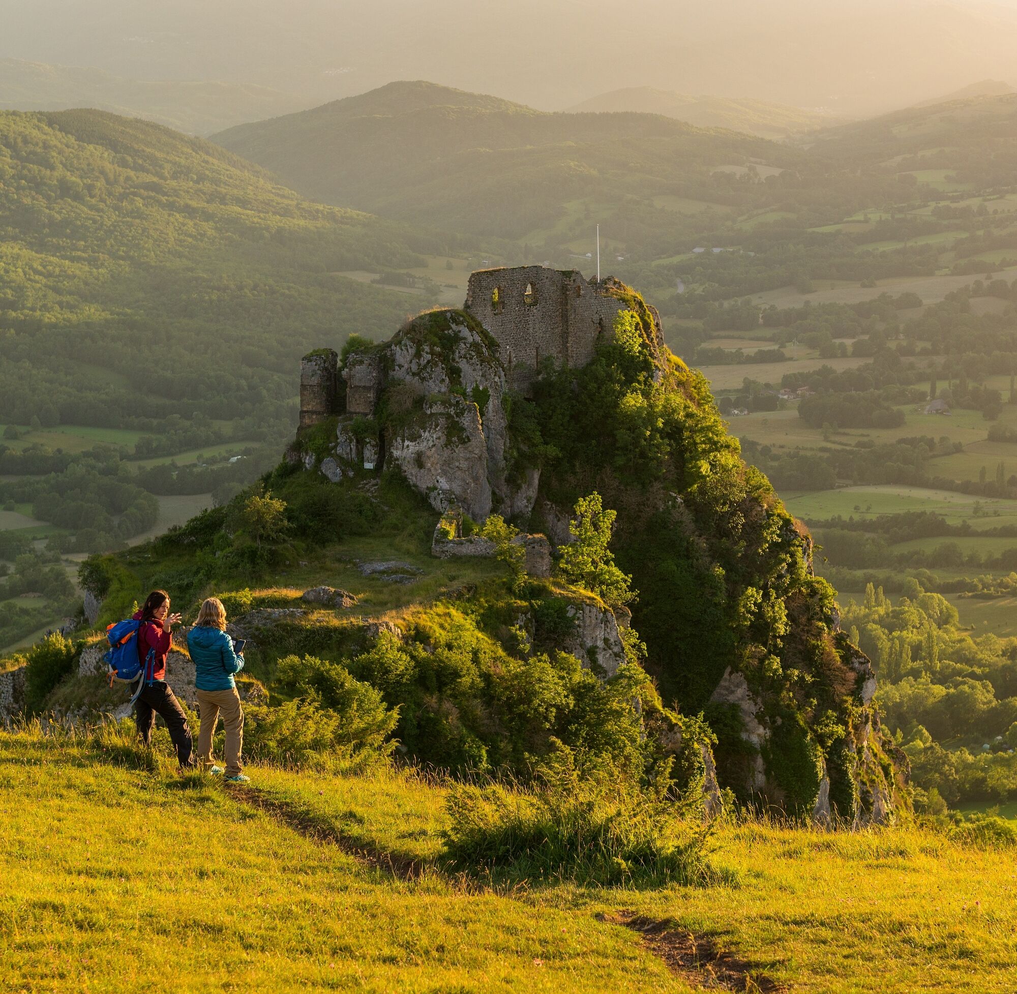
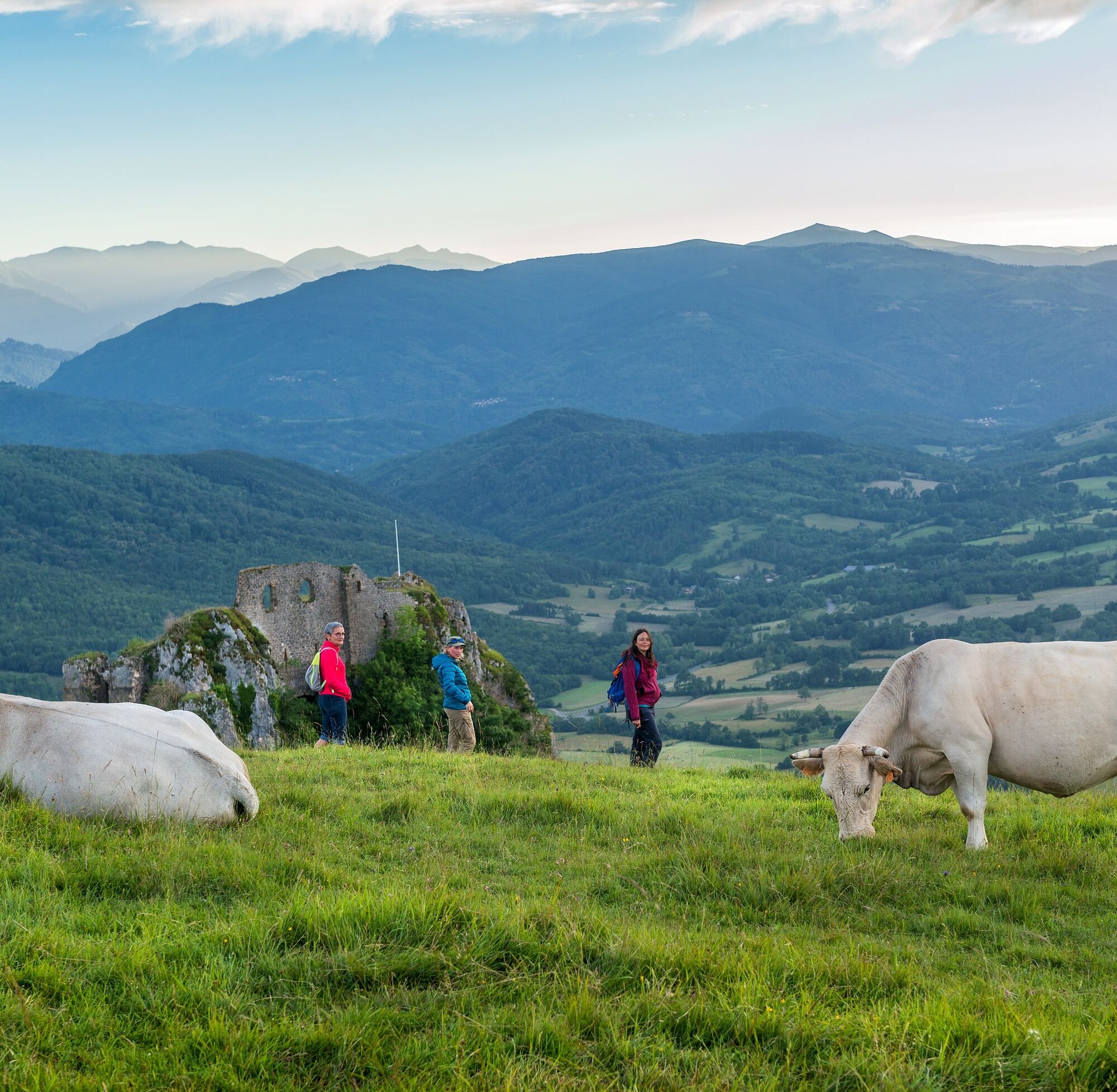
To "walk" the Sentier Cathare GR®367 is to plunge into a poignant history. It means discovering the "Cathar castles", places where terrible battles took place, places of faith and resistance. The trail leads from the Mediterranean to the Pyrenees, crossing two departments, Aude and Ariège, over 250km from Port la Nouvelle to Foix.
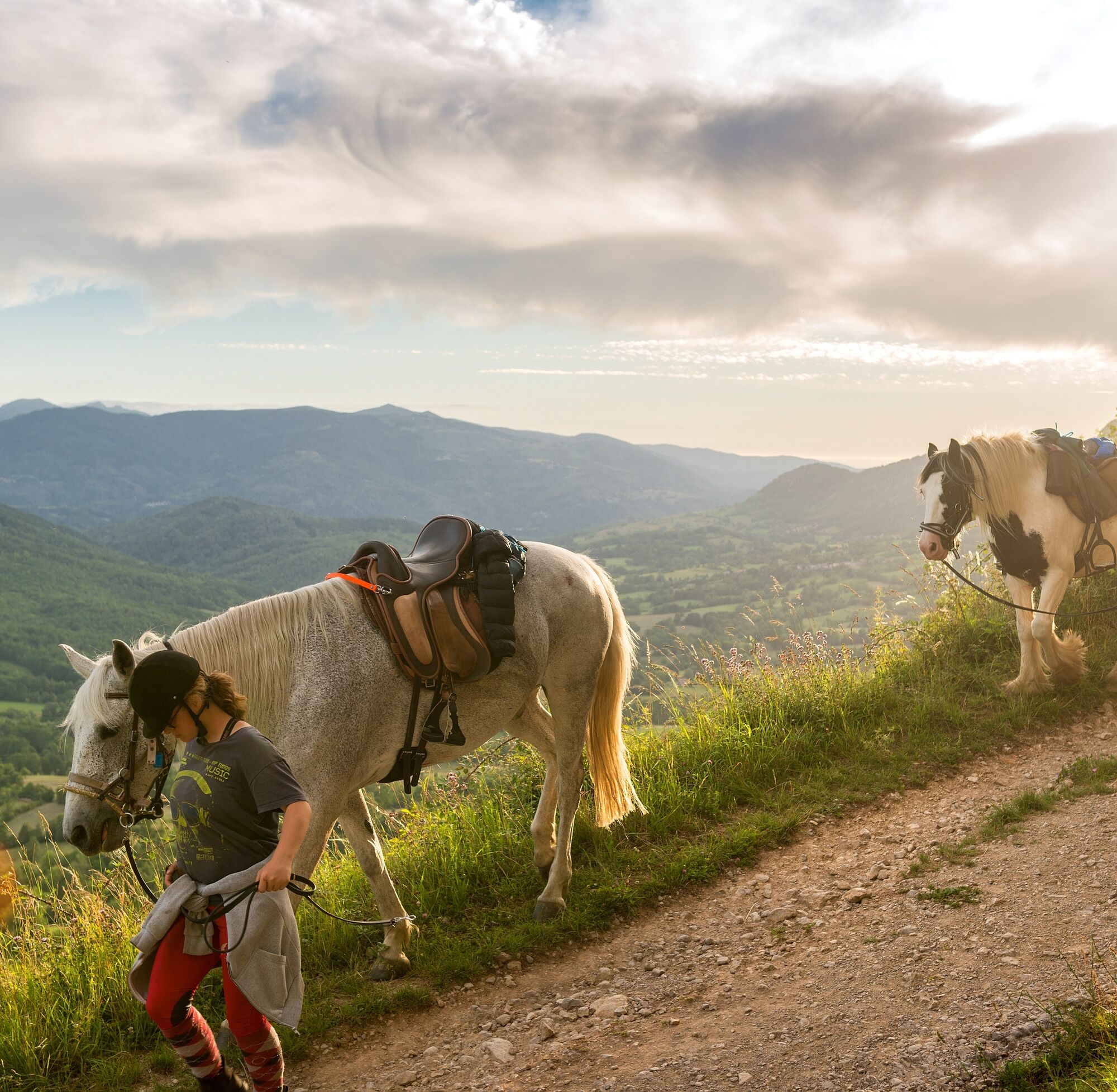
Like the Chemin des Bonshommes GR107, the Sentier Cathare is an essential and emblematic GR in the Pyrenees and Occitanie. Whether on foot, horseback or mountain bike, you'll discover the dreamy landscapes of the Corbières and Pyrenees.
Like the Chemin des Bonshommes GR107, the Sentier Cathare is an essential and emblematic GR in the Pyrenees and Occitanie. Whether on foot, horseback or mountain bike, you'll discover the dreamy landscapes of the Corbières and Pyrenees.


Informacije o poti
Pot
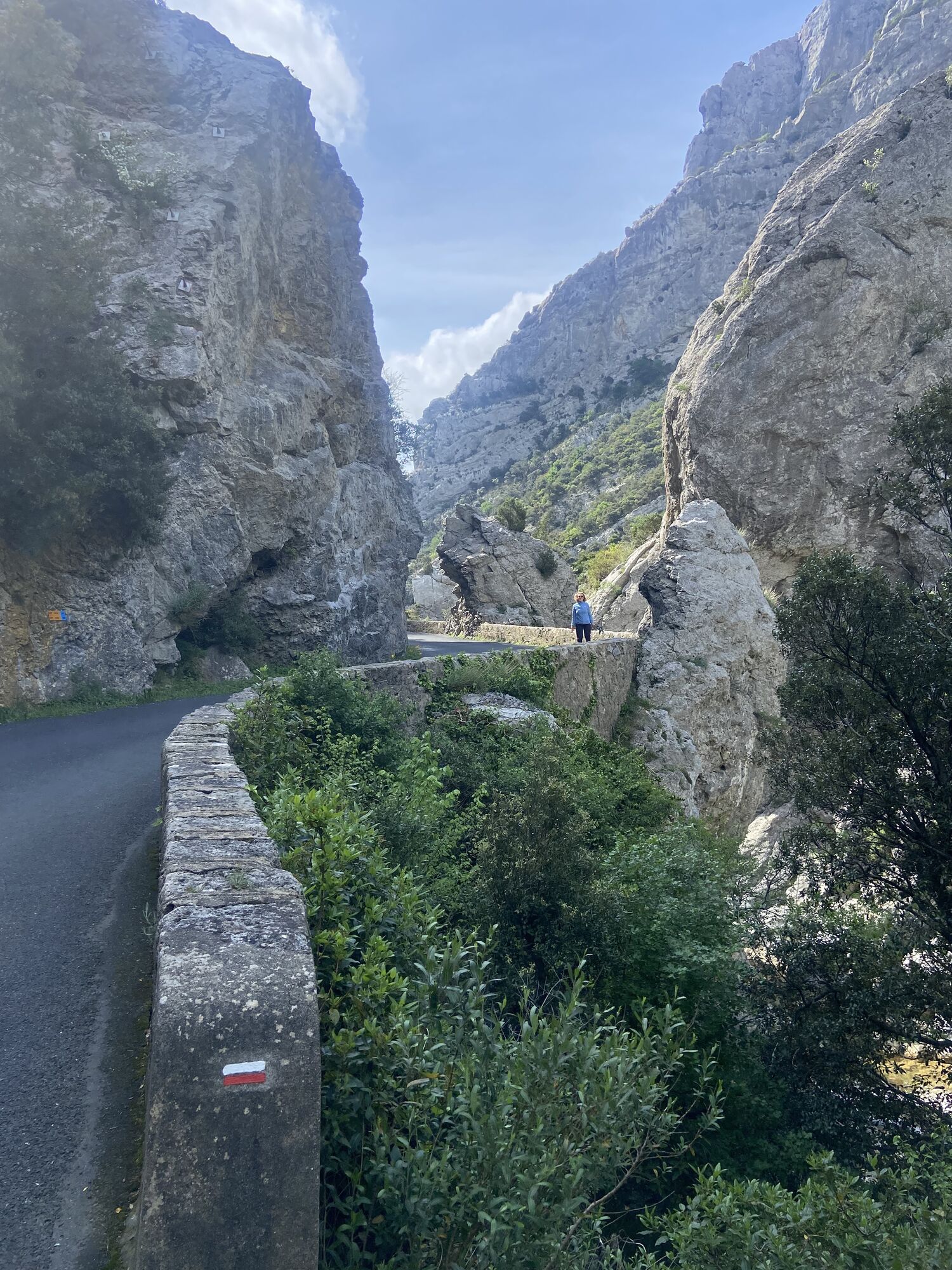
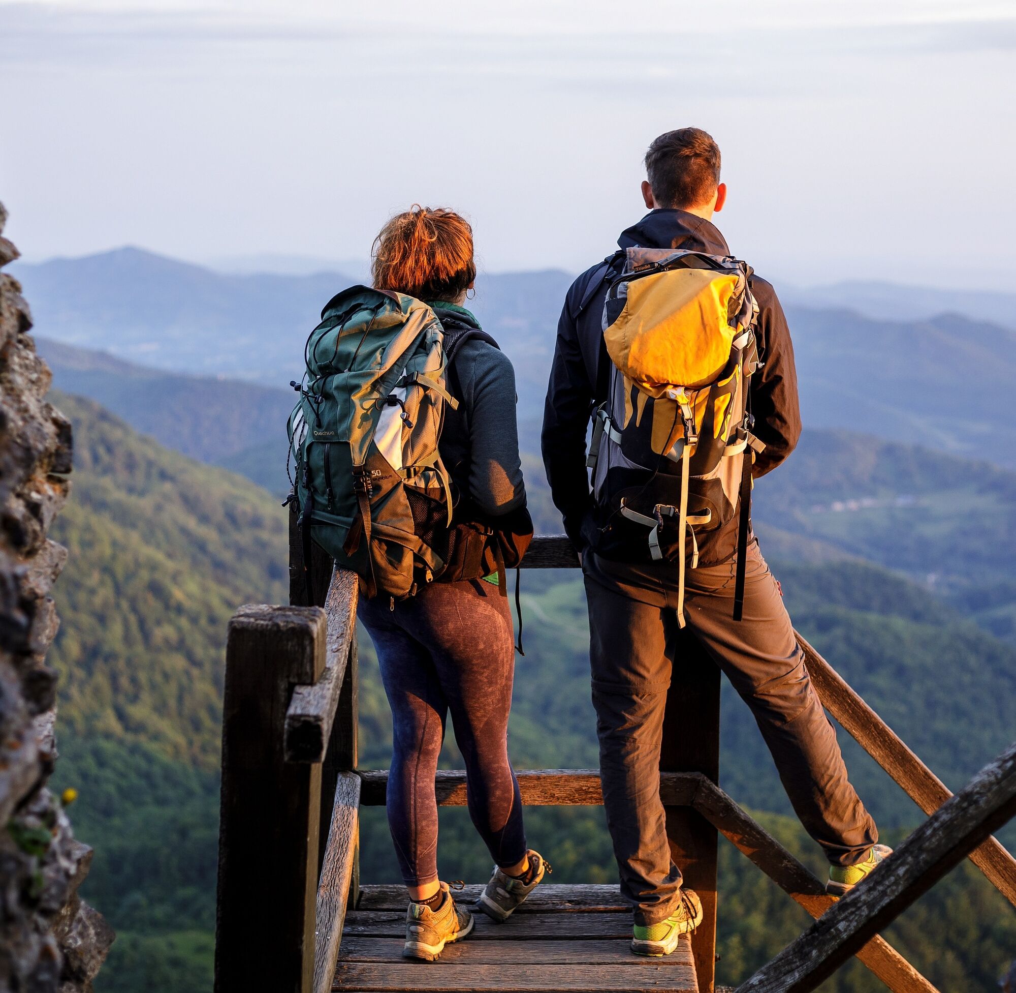
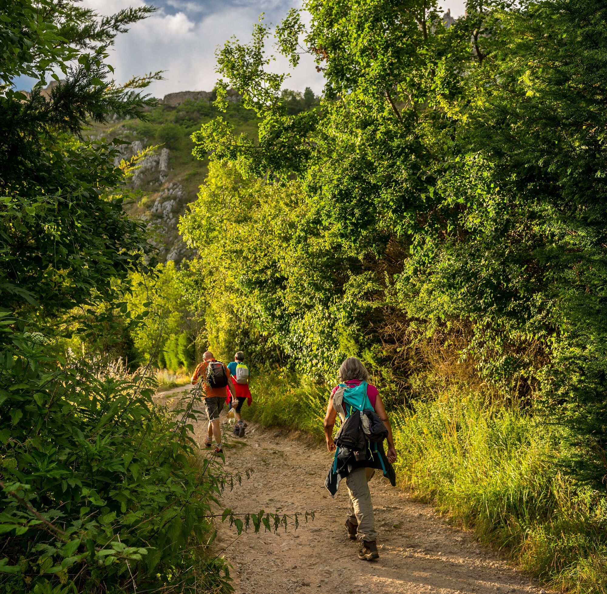
In 9 Aude stages and 3 Ariege stages, the trail links the Mediterranean to the Pyrenees. The route never climbs high into the mountains, making it accessible to all, while offering magnificent landscapes and panoramas. The trail winds its way from rocky ridges to gorges, through vineyards, forests and fragrant garrigue... a veritable journey between sea and mountains.
Stage 1: Port-la-Nouvelle - Durban-Corbières: Transition stage between coast and hinterland: vineyard-covered hillsides, garrigue and rocky ridges. Walking time: 6h45 Distance: 29 km Altitude gain: 600m
Stage 2: Durban-Corbières - Tuchan Here we discover the wine-growing Corbières through and through. The first castles appear, such as Aguilar. Walking time: 7h Distance: 28 km Altitude gain: 800m
Stage 3: Tuchan - Duilhac-sous-Peyrepertuse : Discover the castle of Quéribus and the landscape of impressive limestone walls on which the sentinel castles cling. This stage also passes through a village famous for its legendary... curé de Cucugnan! Walking time: 6h15 Distance: 23 km Ascent: 750m Favourite â¤ï¸: Pech de Bugarach and the village of Quillan
Stage 4: Duilhac-sous-Peyrepertuse > Cubières-sur-Cinoble or duilhac-sous-peyrepertuse > prugnanes Certainly the most picturesque stage, it takes hikers from the citadel of Peyrepertuse, 500m above the plain, to the Galamus gorges and the hermitage of Saint Antoine. Between Fenouillèdes and Corbières, this shorter stage includes a visit to the famous Peyrepertuse citadel. GR®367: DUILHAC-SOUS-PEYREPERTUSE - CUBIÈRES-SUR-CINOBLE Walking time: 4h Distance: 13.2 km Ascent: 700m GR®367A variant: DUILHAC-SOUS-PEYREPERTUSE - PRUGNANES Walking time: 5h45 Distance: 20 km Altitude gain: 920m
Stage 5: Cubières-sur-Cinoble - Bugarach or prugnanes - puilaurens : GR®367: CUBIÈRES-SUR-CINOBLE - BUGARACH High plateaus and pastoral paths, plus the famous Pech de Bugarach, a sheer peak that can be seen from this 5th stage. Walking time: 4h50 Distance: 16.8 km Ascent +: 700m GR®367A variant: PRUGNANES - PUILAURENS Fenouillèdes vineyards, the Occitan village of Caudiès, the Saint Jaume gorges and Puilaurens make up this stage. Walking time: 4h50 Distance: 18 km Altitude gain: 500m
Stage 6: Bugarach - Quillan or Puilaurens - Quirbajou: GR®367: BUGARACH - QUILLAN Wooded valleys where you can see the last vineyards before the great cliffs and the Pyrenean mountains. Walking time: 6h30 Distance: 24 km Ascent + : 700m GR®367A variant: PUILAURENS - QUIRBAJOU Like all these "citadels of vertigo", Puilaurens castle served as a refuge for fleeing Cathars. This fortress with its dismantled walls is typical for its well-preserved battlements and melons. We then continue along the Aude and Rébenty valleys. Walking time: 6h15 Distance: 23 km Altitude gain: 700m
Stage 7: Quillan - Puivert or Quibarjou-Puivert : GR®367: QUILLAN - PUIVERT The boundary between the Mediterranean and Pyrenean zones is now crossed, and hikers move through beech and fir forests. The château de Puivert comes into view on this stage. Walking time : 5h45 Distance: 21 km Ascent + : 700m GR®367A variant: QUIRBAJOU PUIVERT Passes (Clot de la Dourne, du Sarrat), Scots pine, spruce, boxwood and limestone boulders make up this wild and varied stage. The château de Puivert can be discovered on this stage. Walking time : 5h45 Distance: 22 km Ascent: 500m
Stage 8: Puivert - Espezel : This stage is mainly through forest, relaxing in the heat and ideal for discovering wildlife. Walking time: 4h30 Distance: 17 km Altitude gain: 600m
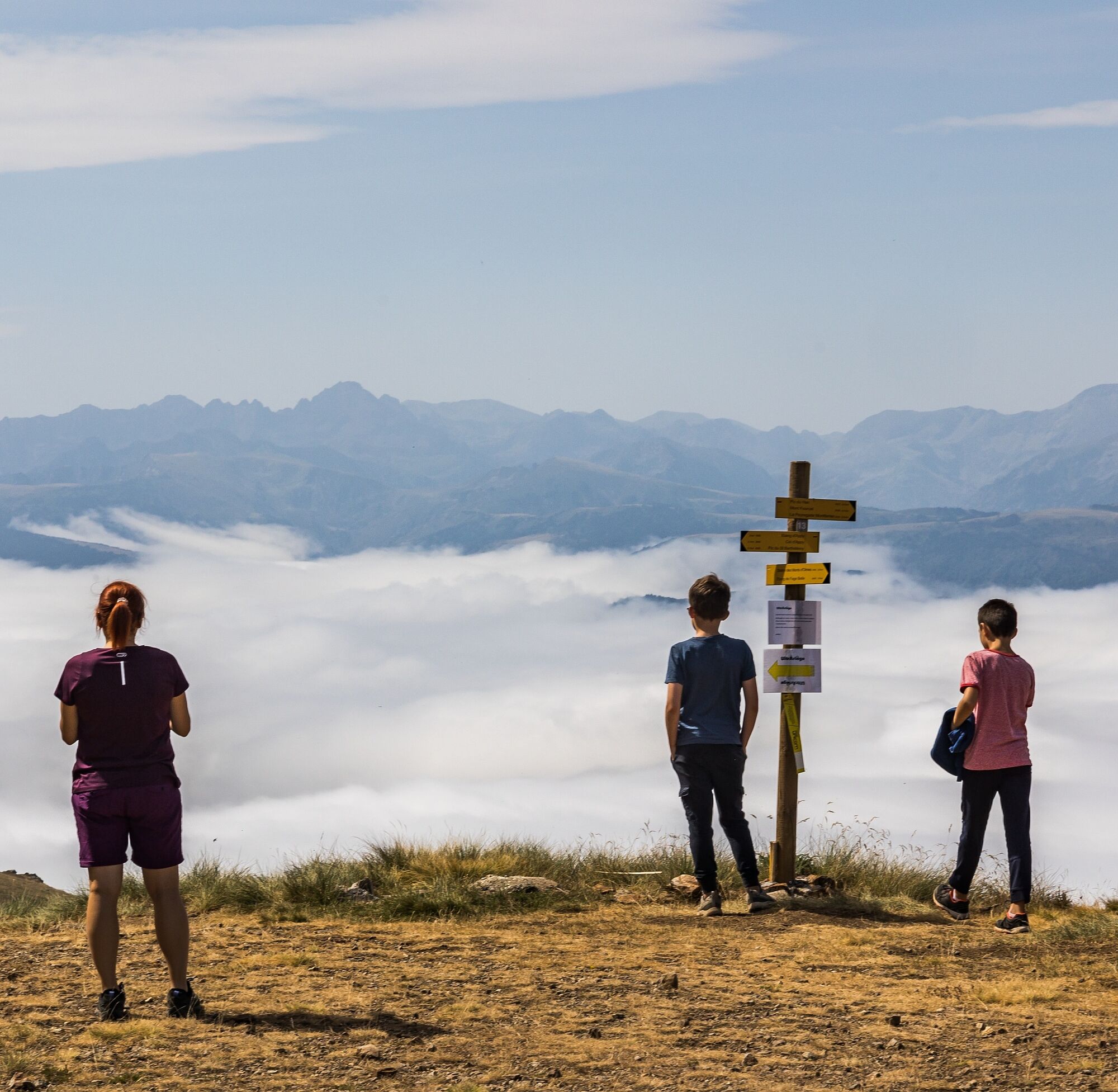
Stage 9: Espezel - Comus: Here we cross the Sault plateau, whose altitude varies between 1,000m and 1,300m. Forestry and livestock farming are the region's main economic activities. We pass close to the village of Montaillou, whose archives describe the daily life of the inhabitants in the 14th century, following the interrogations of the inquisitor Jacques Fournier. Walking time: 5h15 Distance: 20 km Altitude gain: 500m
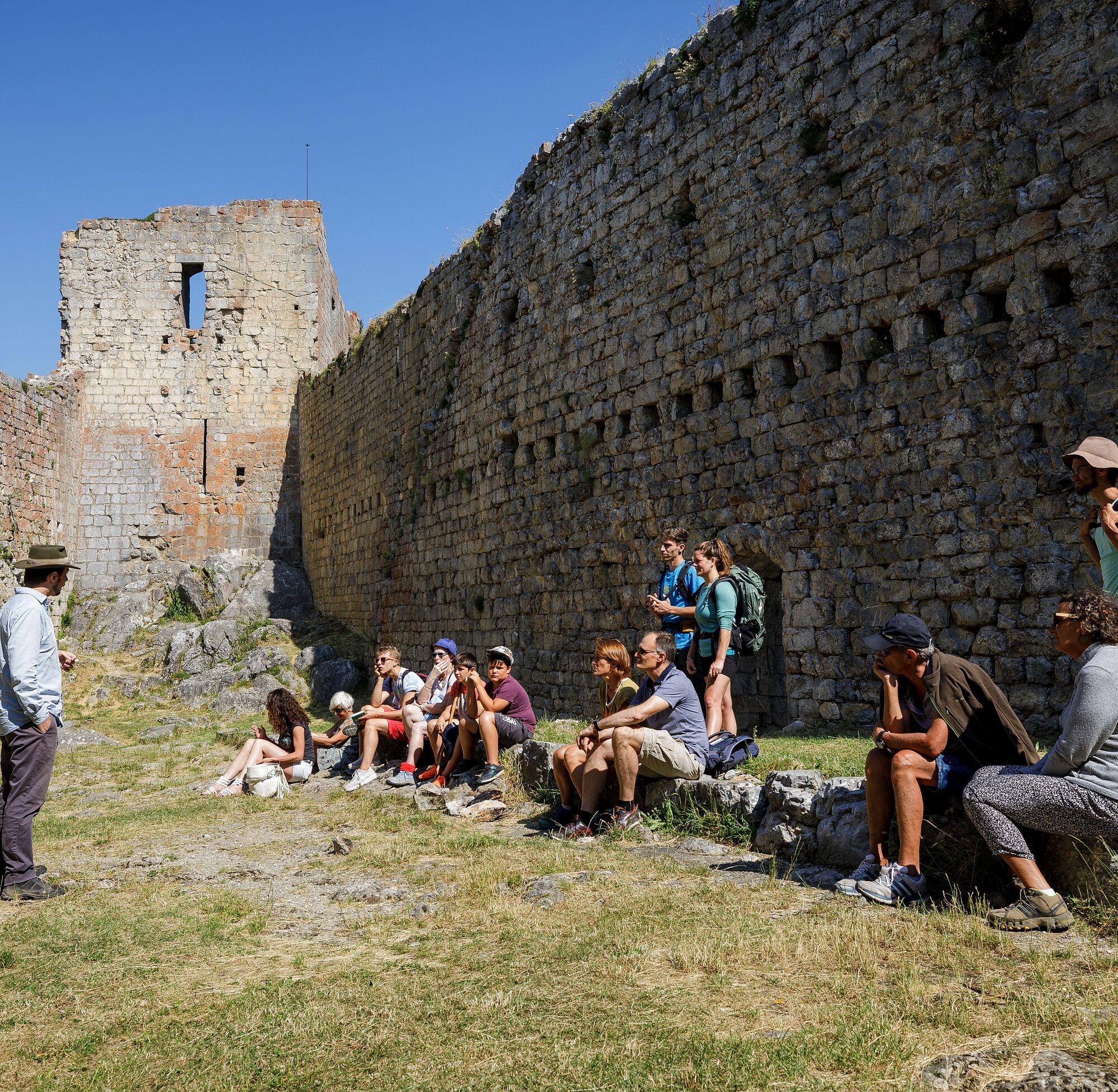
Stage 10: Comus - Montségur : Here we cross from the Aude to the Ariège after the surprising Frau gorges. We arrive at Montségur castle, symbol of Cathar resistance, whose site was taken over by the King of France after the stake of 1244. Walking time: 3h30 Distance: 14.5 km Ascent: 500m
Stage 11: Montségur - Roquefixade: This penultimate stage of the trail crosses the Pays d'Olmes, land of textile and horn-working, to reach the village of Roquefixade dominated by its castle. Walking time: 4h15 Distance: 17 km Altitude gain: 550m
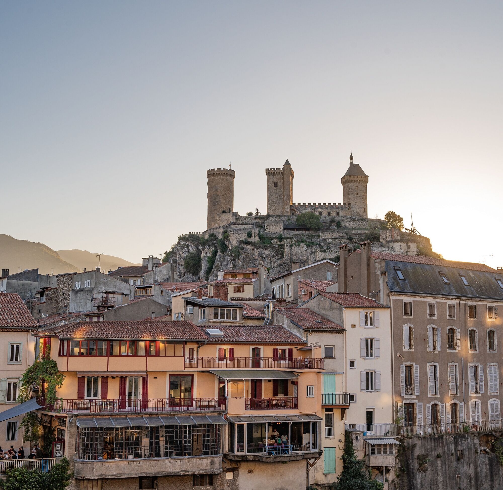
Stage 12: Roquefixade - Foix : The trail takes you to the heights of Pech de Montgailhard, offering exceptional views of the Ariège valley, Prat d'Albis and Mont Fourcat. The last stage of the trail leads to the town of Montgailhard, 4km from Foix, the former capital of the county that stood up to Simon de Montfort. Foix castle was later owned by Gaston Phébus. Walking time: 7h00 Distance: 20 km Ascent + : 500m
Stage 1: Port-la-Nouvelle - Durban-Corbières: Transition stage between coast and hinterland: vineyard-covered hillsides, garrigue and rocky ridges. Walking time: 6h45 Distance: 29 km Altitude gain: 600m
Stage 2: Durban-Corbières - Tuchan Here we discover the wine-growing Corbières through and through. The first castles appear, such as Aguilar. Walking time: 7h Distance: 28 km Altitude gain: 800m
Stage 3: Tuchan - Duilhac-sous-Peyrepertuse : Discover the castle of Quéribus and the landscape of impressive limestone walls on which the sentinel castles cling. This stage also passes through a village famous for its legendary... curé de Cucugnan! Walking time: 6h15 Distance: 23 km Ascent: 750m Favourite â¤ï¸: Pech de Bugarach and the village of Quillan
Stage 4: Duilhac-sous-Peyrepertuse > Cubières-sur-Cinoble or duilhac-sous-peyrepertuse > prugnanes Certainly the most picturesque stage, it takes hikers from the citadel of Peyrepertuse, 500m above the plain, to the Galamus gorges and the hermitage of Saint Antoine. Between Fenouillèdes and Corbières, this shorter stage includes a visit to the famous Peyrepertuse citadel. GR®367: DUILHAC-SOUS-PEYREPERTUSE - CUBIÈRES-SUR-CINOBLE Walking time: 4h Distance: 13.2 km Ascent: 700m GR®367A variant: DUILHAC-SOUS-PEYREPERTUSE - PRUGNANES Walking time: 5h45 Distance: 20 km Altitude gain: 920m
Stage 5: Cubières-sur-Cinoble - Bugarach or prugnanes - puilaurens : GR®367: CUBIÈRES-SUR-CINOBLE - BUGARACH High plateaus and pastoral paths, plus the famous Pech de Bugarach, a sheer peak that can be seen from this 5th stage. Walking time: 4h50 Distance: 16.8 km Ascent +: 700m GR®367A variant: PRUGNANES - PUILAURENS Fenouillèdes vineyards, the Occitan village of Caudiès, the Saint Jaume gorges and Puilaurens make up this stage. Walking time: 4h50 Distance: 18 km Altitude gain: 500m
Stage 6: Bugarach - Quillan or Puilaurens - Quirbajou: GR®367: BUGARACH - QUILLAN Wooded valleys where you can see the last vineyards before the great cliffs and the Pyrenean mountains. Walking time: 6h30 Distance: 24 km Ascent + : 700m GR®367A variant: PUILAURENS - QUIRBAJOU Like all these "citadels of vertigo", Puilaurens castle served as a refuge for fleeing Cathars. This fortress with its dismantled walls is typical for its well-preserved battlements and melons. We then continue along the Aude and Rébenty valleys. Walking time: 6h15 Distance: 23 km Altitude gain: 700m
Stage 7: Quillan - Puivert or Quibarjou-Puivert : GR®367: QUILLAN - PUIVERT The boundary between the Mediterranean and Pyrenean zones is now crossed, and hikers move through beech and fir forests. The château de Puivert comes into view on this stage. Walking time : 5h45 Distance: 21 km Ascent + : 700m GR®367A variant: QUIRBAJOU PUIVERT Passes (Clot de la Dourne, du Sarrat), Scots pine, spruce, boxwood and limestone boulders make up this wild and varied stage. The château de Puivert can be discovered on this stage. Walking time : 5h45 Distance: 22 km Ascent: 500m
Stage 8: Puivert - Espezel : This stage is mainly through forest, relaxing in the heat and ideal for discovering wildlife. Walking time: 4h30 Distance: 17 km Altitude gain: 600m
Stage 9: Espezel - Comus: Here we cross the Sault plateau, whose altitude varies between 1,000m and 1,300m. Forestry and livestock farming are the region's main economic activities. We pass close to the village of Montaillou, whose archives describe the daily life of the inhabitants in the 14th century, following the interrogations of the inquisitor Jacques Fournier. Walking time: 5h15 Distance: 20 km Altitude gain: 500m
Stage 10: Comus - Montségur : Here we cross from the Aude to the Ariège after the surprising Frau gorges. We arrive at Montségur castle, symbol of Cathar resistance, whose site was taken over by the King of France after the stake of 1244. Walking time: 3h30 Distance: 14.5 km Ascent: 500m
Stage 11: Montségur - Roquefixade: This penultimate stage of the trail crosses the Pays d'Olmes, land of textile and horn-working, to reach the village of Roquefixade dominated by its castle. Walking time: 4h15 Distance: 17 km Altitude gain: 550m
Stage 12: Roquefixade - Foix : The trail takes you to the heights of Pech de Montgailhard, offering exceptional views of the Ariège valley, Prat d'Albis and Mont Fourcat. The last stage of the trail leads to the town of Montgailhard, 4km from Foix, the former capital of the county that stood up to Simon de Montfort. Foix castle was later owned by Gaston Phébus. Walking time: 7h00 Distance: 20 km Ascent + : 500m
Dodatne informacije in nasveti
Dodatne informacije
You must be in good physical condition and be prepared to hike for several days in the mountains or even in the high mountains.
Find information and advice on how to behave in the mountains: https://www.ariegepyrenees.com/preparer/randonner/montagne-mode-demploi/
Also information on the art of sleeping in the mountains: https://www.ariegepyrenees.com/preparer/randonner/lart-de-dormir-en-montagne/
Find information and advice on how to behave in the mountains: https://www.ariegepyrenees.com/preparer/randonner/montagne-mode-demploi/
Also information on the art of sleeping in the mountains: https://www.ariegepyrenees.com/preparer/randonner/lart-de-dormir-en-montagne/
Še ni pregledov
Pridobite vpogled
Vedno v živo na mestu z več kot 9.500 spletnimi kamerami. bergfex Kot uporabnik Pro si lahko zdaj ogledate ustrezne spletne kamere za številne izlete v aplikaciji izleti iz. Tako si lahko neposredno ogledate trenutne razmere.
Priljubljeni izleti v okolici
-
5.0
Rennes-le-Chateau, worthwhile a visit.
svetlobaPohodništvo 7.72 km -
B 2. Etappe Maury - Artigues Okzitanien/Frankreich
težkoKolesarjenje 61 km -
les Quilles par Cavirac
srednjaPohodništvo 10.5 km -
5.0
Rennes-les-Bains - Église Saint-Nazaire et Saint-Celse - Pech Cardou
srednjaPohodništvo 11.1 km -
5.0
Col du Linas - Pech de Bugarach
srednjaPohodništvo 6.90 km -
5.0
Nébias - Église de la Nativité-de-Notre-Dame
srednjaPohodništvo 7.98 km -
4.0
Quillan - Église Saint-André - Col de Capio - Col de Brenac
srednjaPohodništvo 11.9 km -
4.0
Église Notre-Dame de l'Assomption - Belvianes - La Forge - Quillan
srednjaPohodništvo 7.66 km -
Bugarach - Pech de Bugarach - La Pique Grosse - Col du Linas
težkoPohodništvo 13.4 km -
Bugarach - Cascade des Mathieux - Pech de Bugarach - Église Notre-Dame
težkoPohodništvo 16.9 km

Pohodništvo in sledenje

Zaradi več kot 550.000 predlogov izletov, podrobnih zemljevidov in intuitivnega načrtovanja poti je aplikacija obvezna oprema za vse ljubitelje narave.

Ne zamudite ponudb in navdiha za naslednje počitnice
Naročite se na novice
Napaka
Zgodila se je napaka. Prosimo, poskusite znova.
Zahvaljujemo se vam za prijavo
Vaš e-poštni naslov je bil dodan na poštni seznam.
Izleti po vsej Evropi
Avstrija
Švica
Nemčija
Italija
Slovenija
Francija
Nizozemska
Belgija
Poljska
Lihtenštajn
Češka
Slovaška
Španija
Chorvátsko
Bosna in Hercegovina
Luksemburg
Andora
පෘතුගාලය
අයිස්ලන්තය
එක්සත් රාජධානිය
අයර්ලන්තය
ග්රීසිය
ඇල්බේනියාව
North Macedonia
Malta
Norway
Montenegro
Moldova
කොසෝවො
හන්ගේරියානු සමුහාණ්ඩුව
San Marino
රුමේනියාව
එස්ටෝනියා
ලැට්වියාව
බෙලාරස්
සයිප්රස්
Lithuania
Serbia
බල්ගේරියාව
Monaco
ඩෙන්මාර්කය
Sweden
ෆින්ලන්තය





