


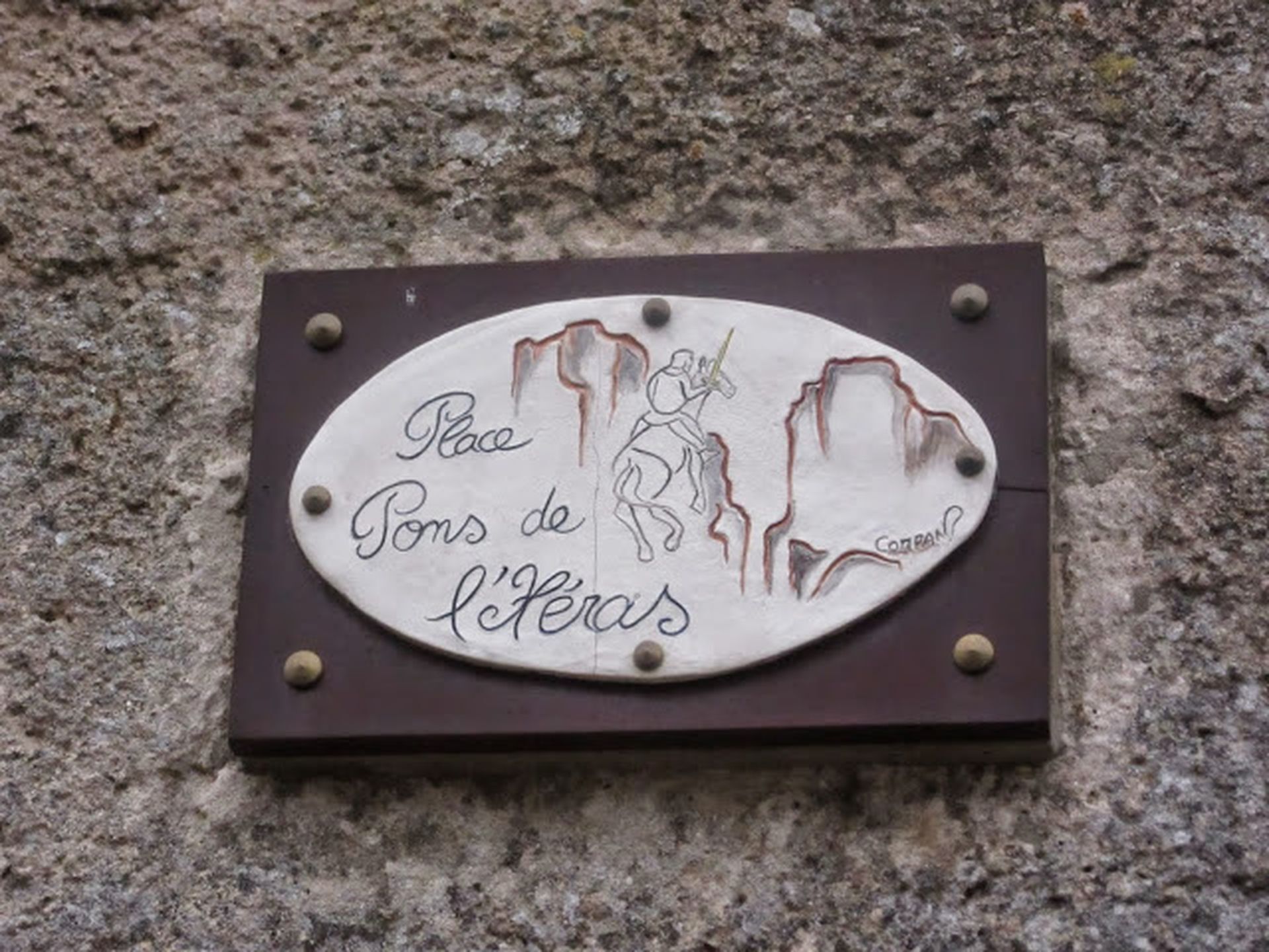
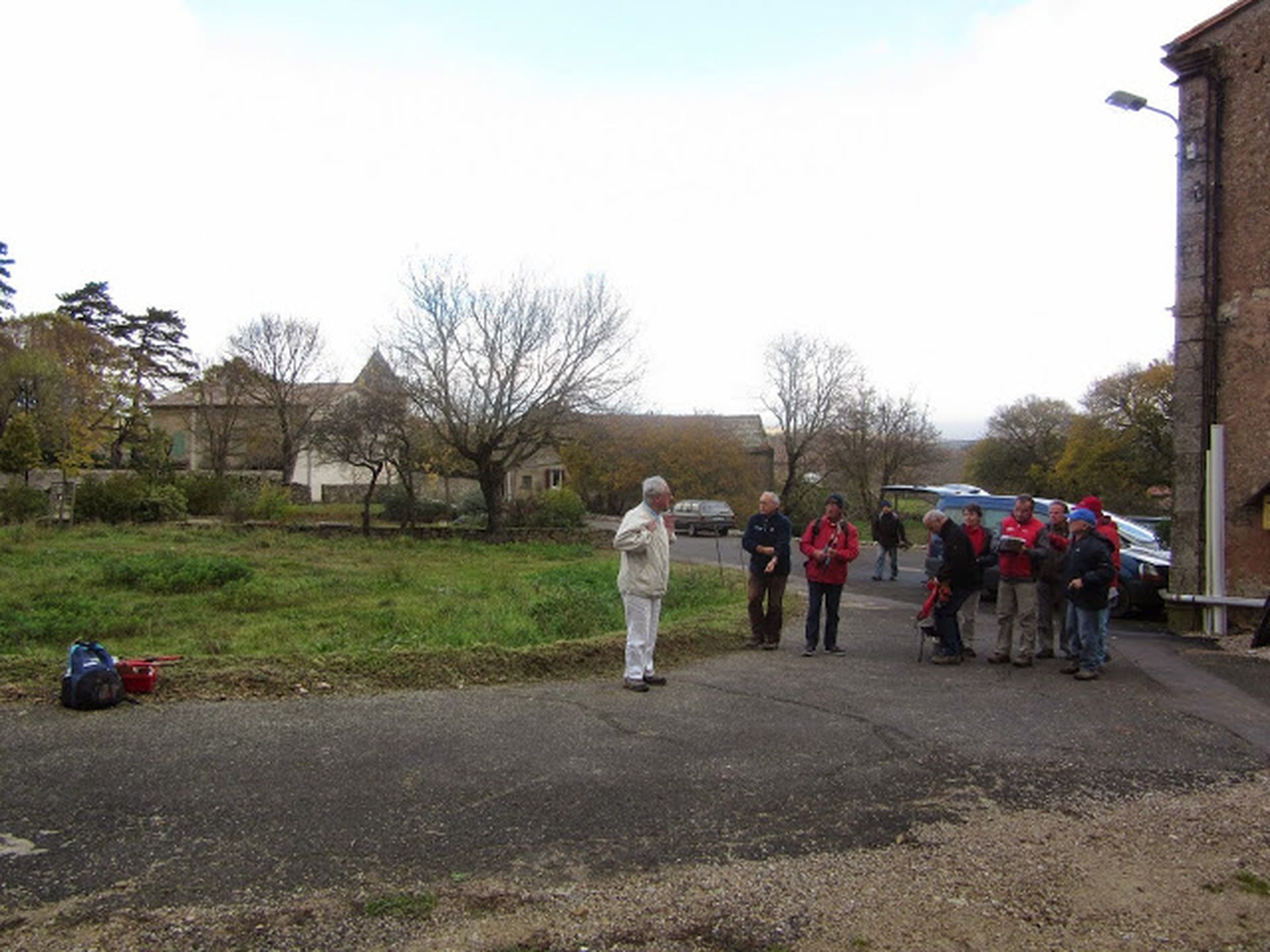
HIGH VALLEY OF THE LERGUE HIKE
This hike starting from Saint-Félix-de-l’Héras reveals the contrasts of a landscape shaped by the harsh Caussenard climate. You will successively cross lands dedicated to pastoralism, the Lergue valley,...
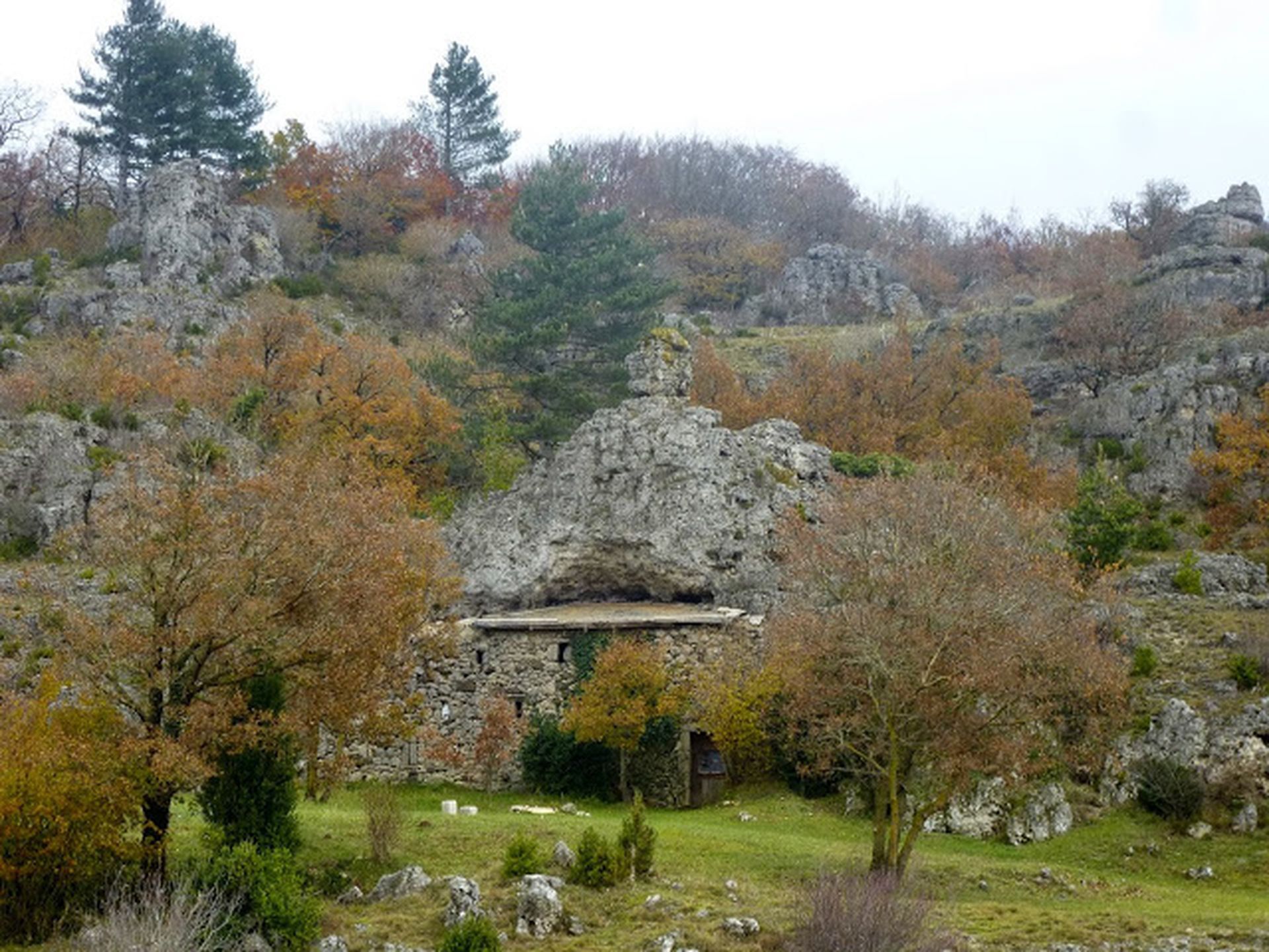
This hike starting from Saint-Félix-de-l’Héras reveals the contrasts of a landscape shaped by the harsh Caussenard climate. You will successively cross lands dedicated to pastoralism, the Lergue valley, and a dolomitic ensemble scattered within varied vegetation. This wild setting also bears witness to the presence of Man over millennia.

1
From the parking lot, walk along the roadside towards Saint-Félix-de-l’Héras.
2
Take an agricultural track to the left through heath and fields.
3
Via a path continuing ahead, reach the foot of the Rives plateau. Go right to reach the Pas des Gavaches, then the D 142, near the A 75. Cross the road and take the path straight ahead through boxwoods and some walls. Pass near a watering hole and reach a track suitable for vehicles (old Rives to Caylar road); take it to the left. Pass the Barymbal hut and continue straight for about 3 km, until the junction with the D 142, at the entrance to the Rives. Continue right, head towards the village, then go up to the right onto Lavogne street. Rejoin the main road; take it to the right for 100 m, then turn left into the Jardins path. Walk 50 m towards the village center to a fork.
4
Go up to the right by an old drove road. Reach the D 142; take it for about 300 m and, at the start of a right bend, turn left onto a track between fields. Short circuit variant (13 km / 4 h): Continue up to the cemetery. Turn right into a wide wooded path which descends towards the plain (with marl presence) and join the D 151. Cross the road, continue straight on a track that becomes a path under a boxwood tunnel. Descend towards the Lergue. Cross a chicane (fence), continue on the left bank, pass the ruins of an old mill and continue along the fields until rejoining the main route.
5
Descend to the left, turn right and continue descending along a path bordered by shrubs. Further on, follow a small stream and reach the D 151; to the right, reach the Sièges. Cross the hamlet towards the Labeil cave, in the village of Lauroux. Continue on the road for about 300 m.
6
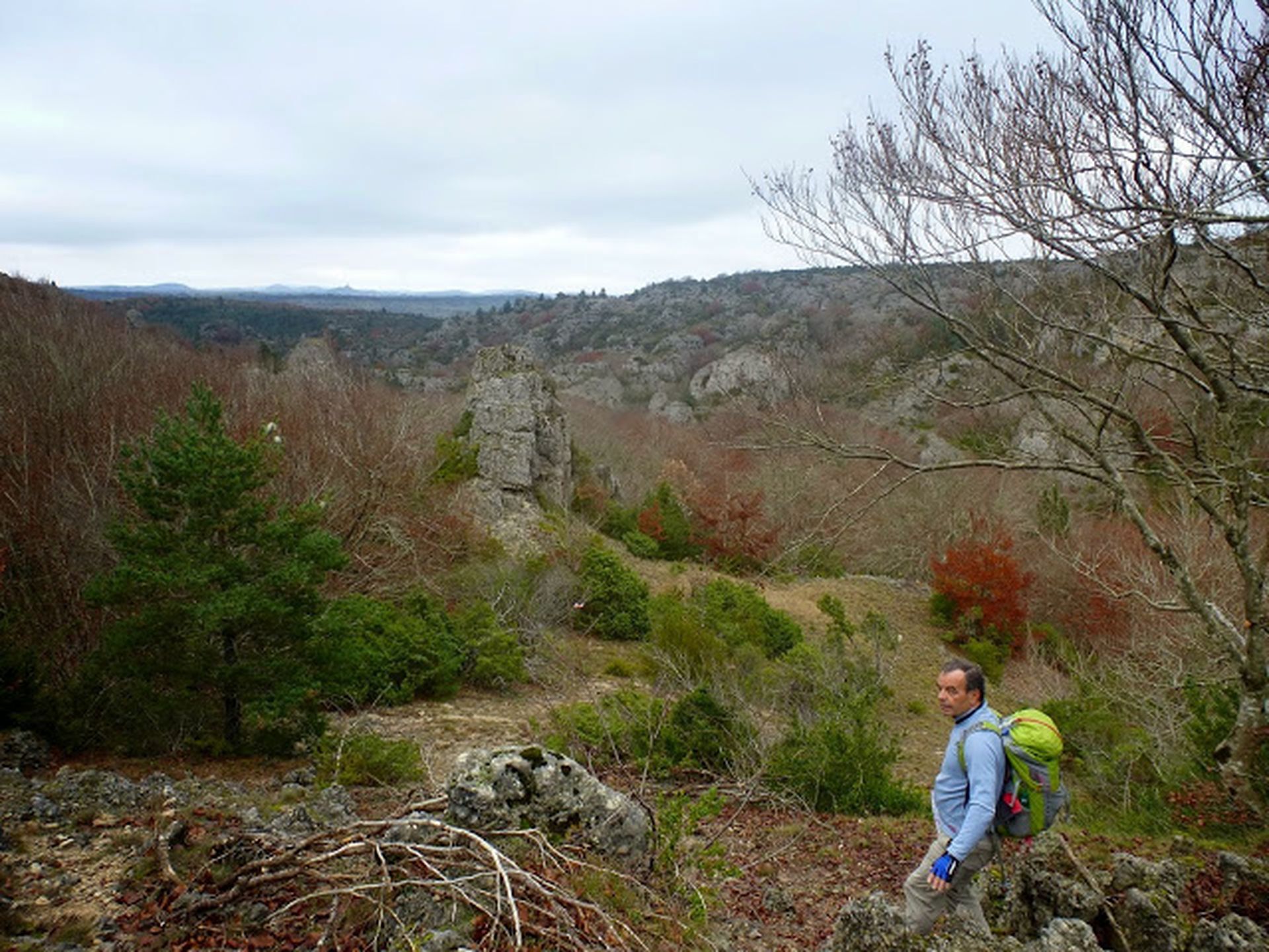
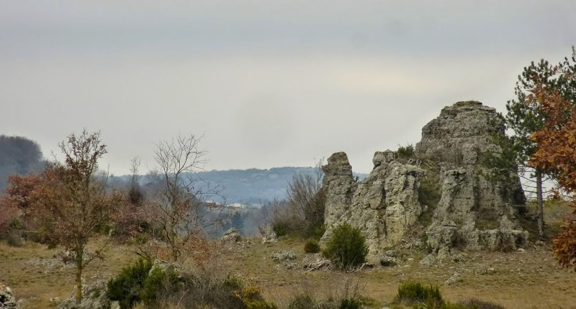
Take a track to the left, passing in front of a watering hole. Higher up, reach a dolomitic rock massif (follow the marking carefully). At the wide sandy track, continue left to a large junction.
7
Turn right and follow the dolomites along a wide track for about 1.5 km.
8
Leave this track to the left by a path that penetrates into vegetation of boxwoods, pines, and beeches (note the presence on the ground of AF (Forestry Administration) markers). Continue through varied vegetation and sometimes rugged dolomitic terrain (follow the marking carefully). Begin descending into a moss-covered rocky and vegetated massif and reach an intermittent stream. Continue through a more open zone to reach the Lergue; cross the stream.
9
Continue on the left bank, alongside fields. Cross the Cassé stream and climb up an old restored path through boxwoods to the D 155. To the left, return to the parking lot.
In case of emergency, call 112.
Yellow PR
+33 4 67 88 86 44
Tourism Office Lodévois Larzac
PR - FFR
Priljubljeni izleti v okolici
-
4.0
HIKE OF THE GRÉZAC PLATEAU
srednjaPohodništvo 14.0 km -
HIKE FROM DRY VALLEYS TO SOTCHS
srednjaPohodništvo 11.5 km -
HIKING TOUR IN THE HEART OF THE CAUSSE - GR® DE PAYS TOUR DU LARZAC MÉRIDIONAL
srednjaPohodništvo 56.7 km -
CORNICHES DE LAUROUX HIKE
srednjaPohodništvo 13.8 km -
ROUTE NO. 87 - THE LION OF SERVIÈRES - MTB AREA FFC LODÉVOIS AND LARZAC
srednjaMountainbike 28.0 km -
CIRQUE DE LABEIL HIKE
svetlobaPohodništvo 3.94 km -
CYCLE LOOP No. 13 - THE COL DU PERTHUS AND THE LABEIL CIRQUE FROM LODÈVE
srednjaKolesarjenje 39.3 km -
ORB TO ESCANDORGUE HIKE
srednjaPohodništvo 16.9 km -
ROUTE No. 75 - SOUTH OF LARZAC - MTB-FFC AREA LODÉVOIS AND LARZAC
srednjaMountainbike 18.3 km -
HIKING OF SOUTH LARZAC
srednjaPohodništvo 17.4 km

Pohodništvo in sledenje


Ne zamudite ponudb in navdiha za naslednje počitnice
Vaš e-poštni naslov je bil dodan na poštni seznam.