







OENORANDO® LES COTEAUX D'ENSÉRUNE
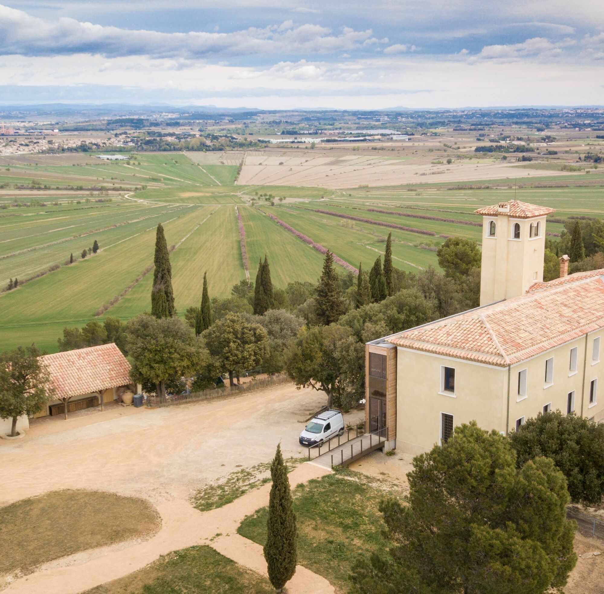
Departing from Le Malpas, the tour takes you around the Ensérune hill. You start on the northern slope, bordering the Etang de Montady, which was drained in the Middle Ages. The route then crosses the...
Departing from Le Malpas, the tour takes you around the Ensérune hill. You start on the northern slope, bordering the Etang de Montady, which was drained in the Middle Ages. The route then crosses the Soustres wine estate, before passing through vineyards and olive groves to reach the southern slope. You then descend to the Régismont le Haut estate and return to Malpas via the towpath along the Canal du Midi.
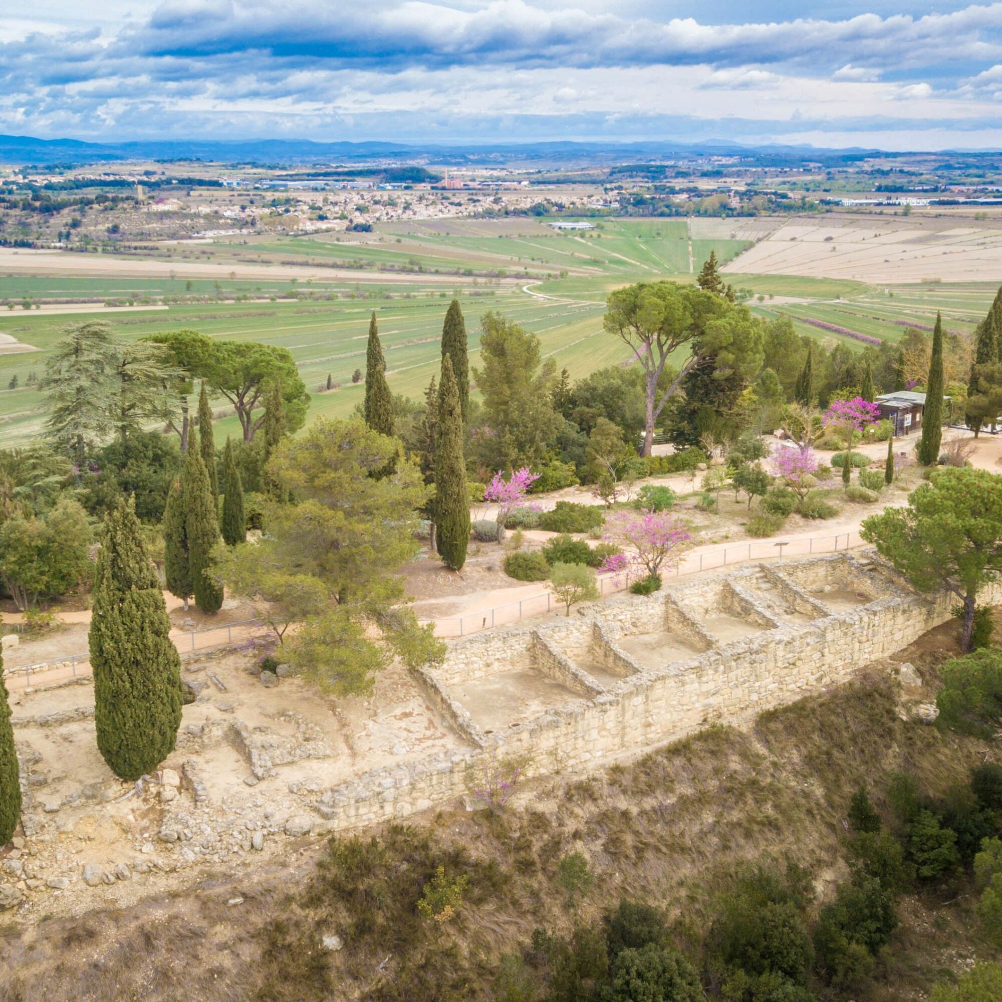
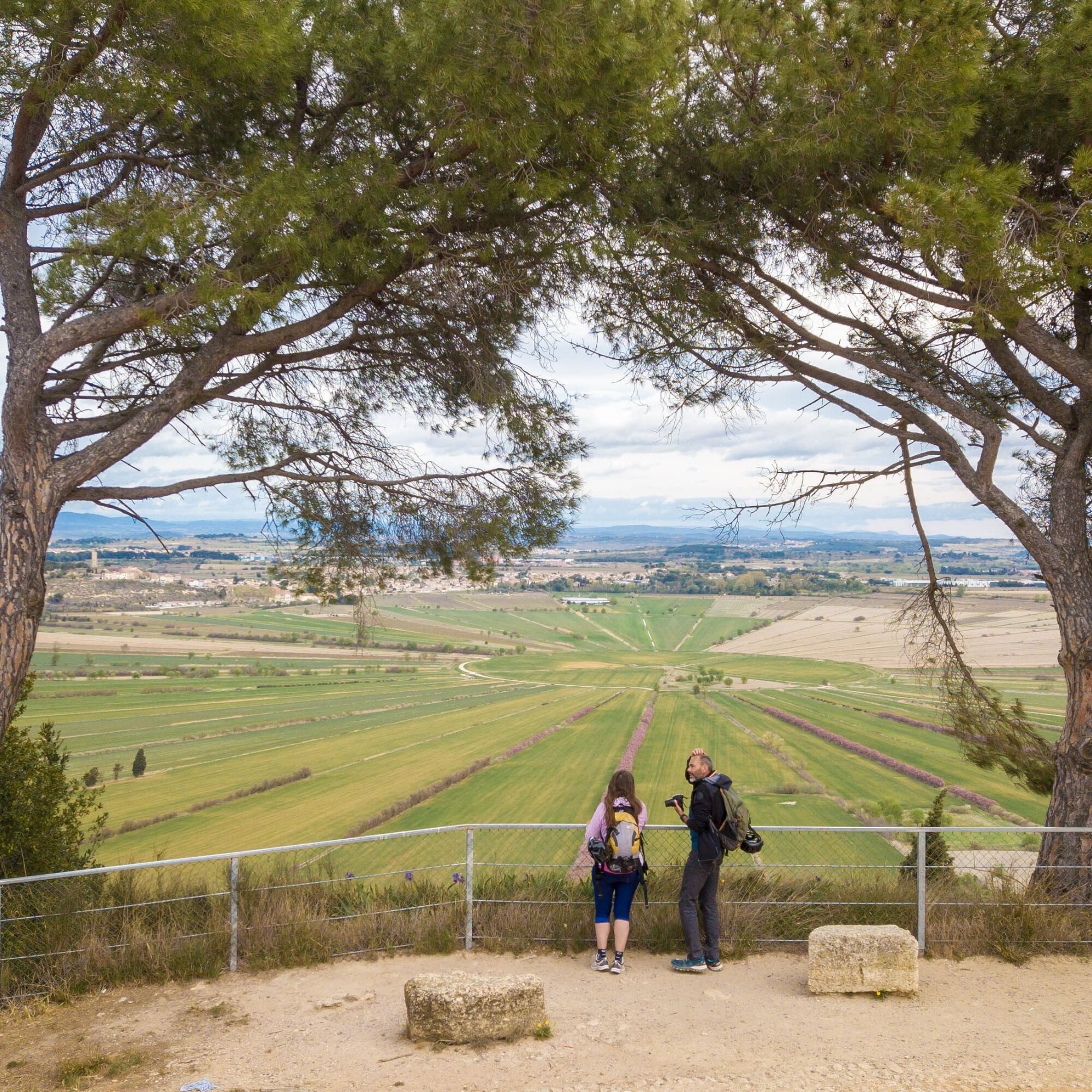
At the beginning or end of the circuit, don't hesitate to climb up to the Ensérune oppidum, from where you can enjoy an incredible panorama of the region and the dry pond of Montady-Colombiers, and why not visit the Ensérune archaeological site and museum (round trip: 3km, ascent 130m).


1
From the parking lot, drive past the Maison du Malpas. At the crossroads, cross the lane over the Canal du Midi.
2
Access to Ensérune museum and archaeological site (admission charge): take the road opposite (2.5 km round trip). 2: Go down the small road on the right. At the bottom, take the small road on the left to reach the edge of the dry Montady pond. Turn left again on the tarmac road between the pond and the oppidum. Pass under the bridge, then reach the Soustre estate. On return: turn right to reach the Maison du Malpas, and the parking lot.
3
Cross the estate (respect private property), then take the left-hand track up to the Masse plateau. Reach an olive grove, opposite a vineyard.
4
Take the track to the right. It overlooks the olive grove. Go straight ahead at the crossroads and go around the vineyard. At the intersection, continue straight ahead.
5
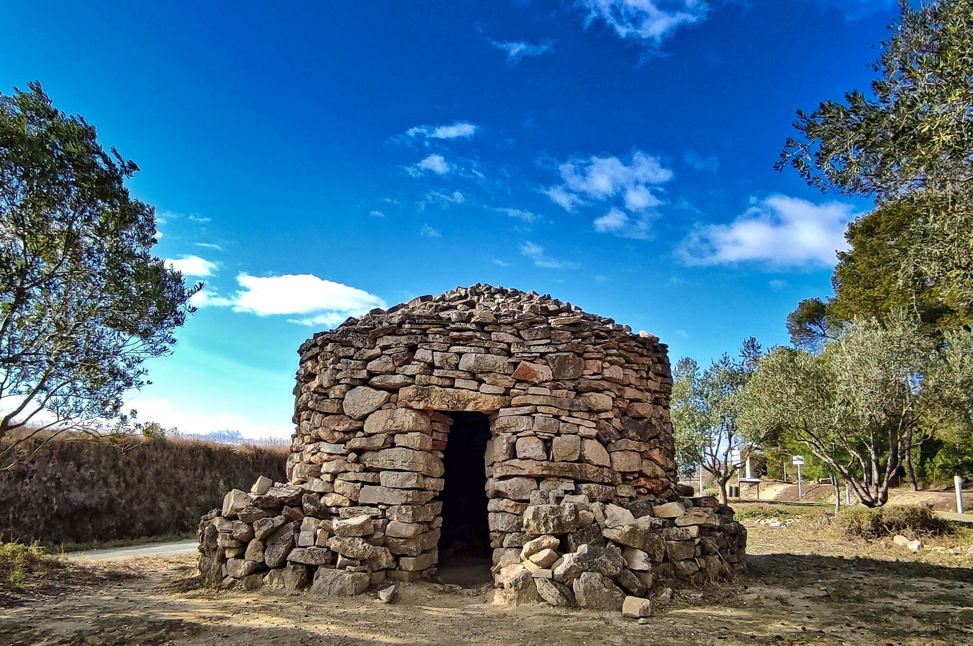
Go right downhill towards the olive grove (characteristic Mediterranean vegetation of prickly pear, olive, pine, cypress...) and cross the Régimont-le-Haut estate. Cross the bridge over the canal.
6
Turn left and follow the path over the Canal du Midi, on the south bank, for 1.6 km.
7
At the weir, continue along the Canal du Midi. At the Malpas tunnel, take the ramp up to the crossroads leading to the Ensérune oppidum and museum. Turn right to reach the Maison du Malpas and parking lot.
line 641
line 641
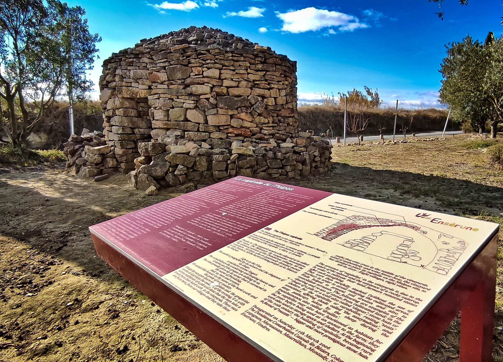
Stay on the marked trail, respecting private property and local heritage.
Avoid hiking during the hottest hours in summer.
Take the time to climb up to the oppidum to visit the site (check opening times beforehand) or simply to enjoy the superb panoramic view.
If you're a wine-lover, book a visit or tasting session at the Domaine de Soustres, through which this hike passes.
Jaune PR
+33 4 67 32 88 77
La Domitienne Tourist Office
Oenorando®
Priljubljeni izleti v okolici
HIKING BETWEEN CANAL DU MIDI AND BEZIERS
svetlobaPohodništvo 7.81 kmCIRCUIT TABARKA ISLAND – BÉZIERS MÉDITERRANÉE VTT-FFC AREA
srednjaMountainbike 17.2 kmOENOVELO 1 BIS - FROM SAINT-CHINIAN TO THE CANAL DU MIDI DEPARTING FROM MAGALAS STATION
svetlobaKolesarjenje 107.1 kmCAMIN'ARTS GREENWAY (CAPESTANG - CRUZY)
svetlobaKolesarjenje 11.9 kmOENORANDO® LE PECH DU THOU
svetlobaPohodništvo 7.34 kmOENORANDO® LES HAUTS DE CORNEILHAN
svetlobaPohodništvo 10.3 kmCASTLE CYCLE LOOP
svetlobaKolesarjenje 24.1 kmCYCLE LOOP No. 22 - RIDE SOUTH OF THE CANAL DU MIDI
svetlobaKolesarjenje 27.2 kmHIKING THE CANAL DU MIDI
svetlobaPohodništvo 13.0 kmOENORANDO® ON THE FOOTSTEPS OF THE FREE WINEGROWERS
svetlobaPohodništvo 10.8 km

Pohodništvo in sledenje


Ne zamudite ponudb in navdiha za naslednje počitnice
Vaš e-poštni naslov je bil dodan na poštni seznam.





