


CIT'ART HIKE OF THE HAUTS DE FERRALS
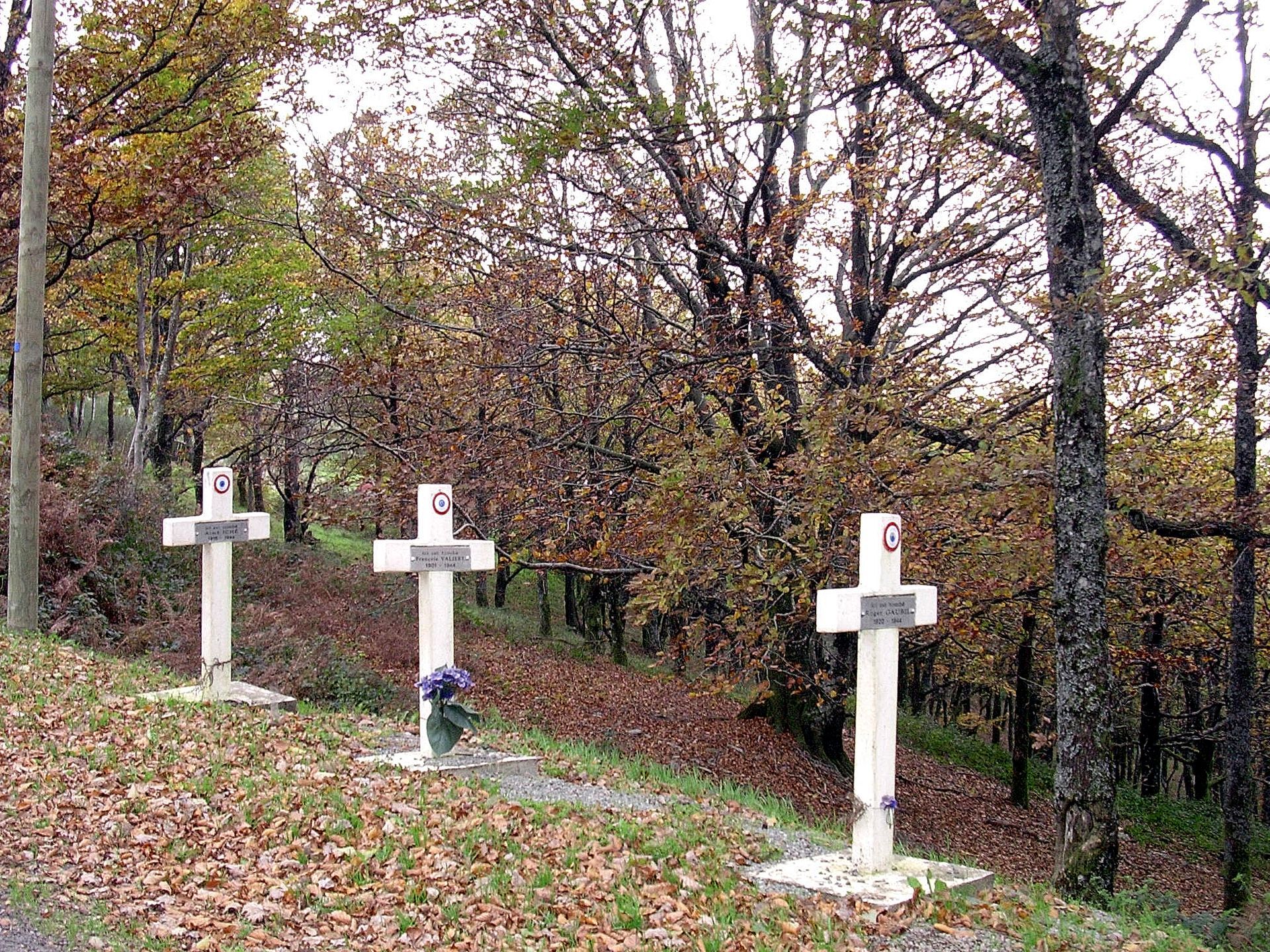
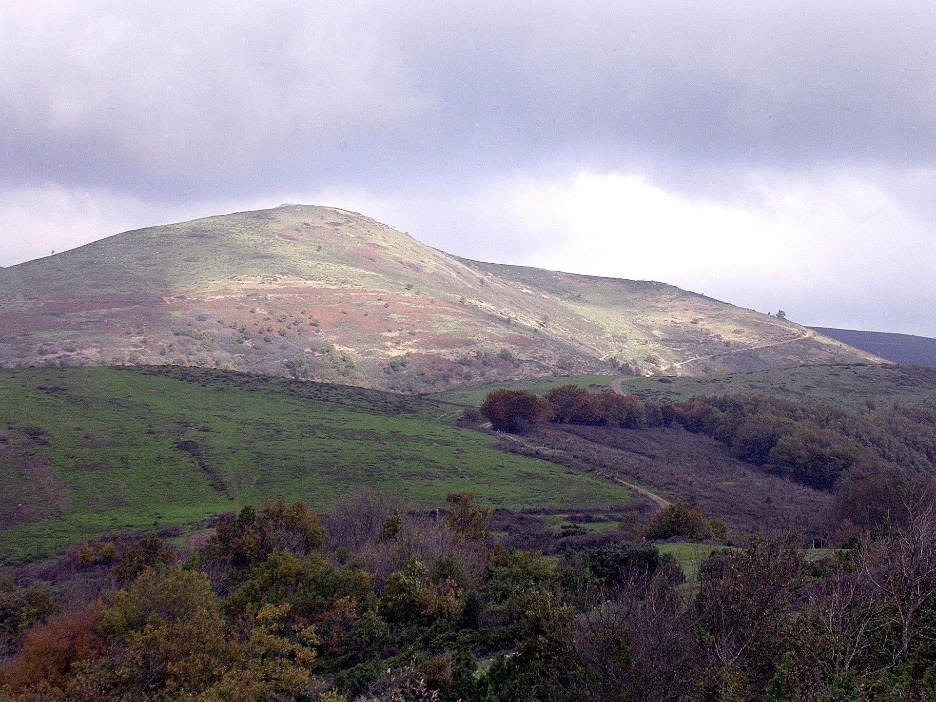
This route reaches the col de Serières, witness to the Resistance fights, then the ridges of the first foothills of the Montagne Noire.

1
Descend via the road of the Montagne Noire, then take the small paved street on the left and follow the D?147 E 2 to cross the Fontaine stream. After the bridge, turn right and climb via the paved path which becomes a trail. Continue along the D?147 E 2 to the col de la Tanque.
2
Leave the Camp-Peries path to the right, leave the D?147 E 2 and take the path to the left. It climbs and ascends a rocky summit (opposite is the large mass of the Cayroux at 786 m). Head towards the Cayroux via the path across the pastures. Pass a cistern and reach a small pass.
3
Follow the path climbing the east side of Mont Cayroux, reach a shoulder and continue ahead to the shepherd's hut of Plo-de-Bouzigues (cistern).
4
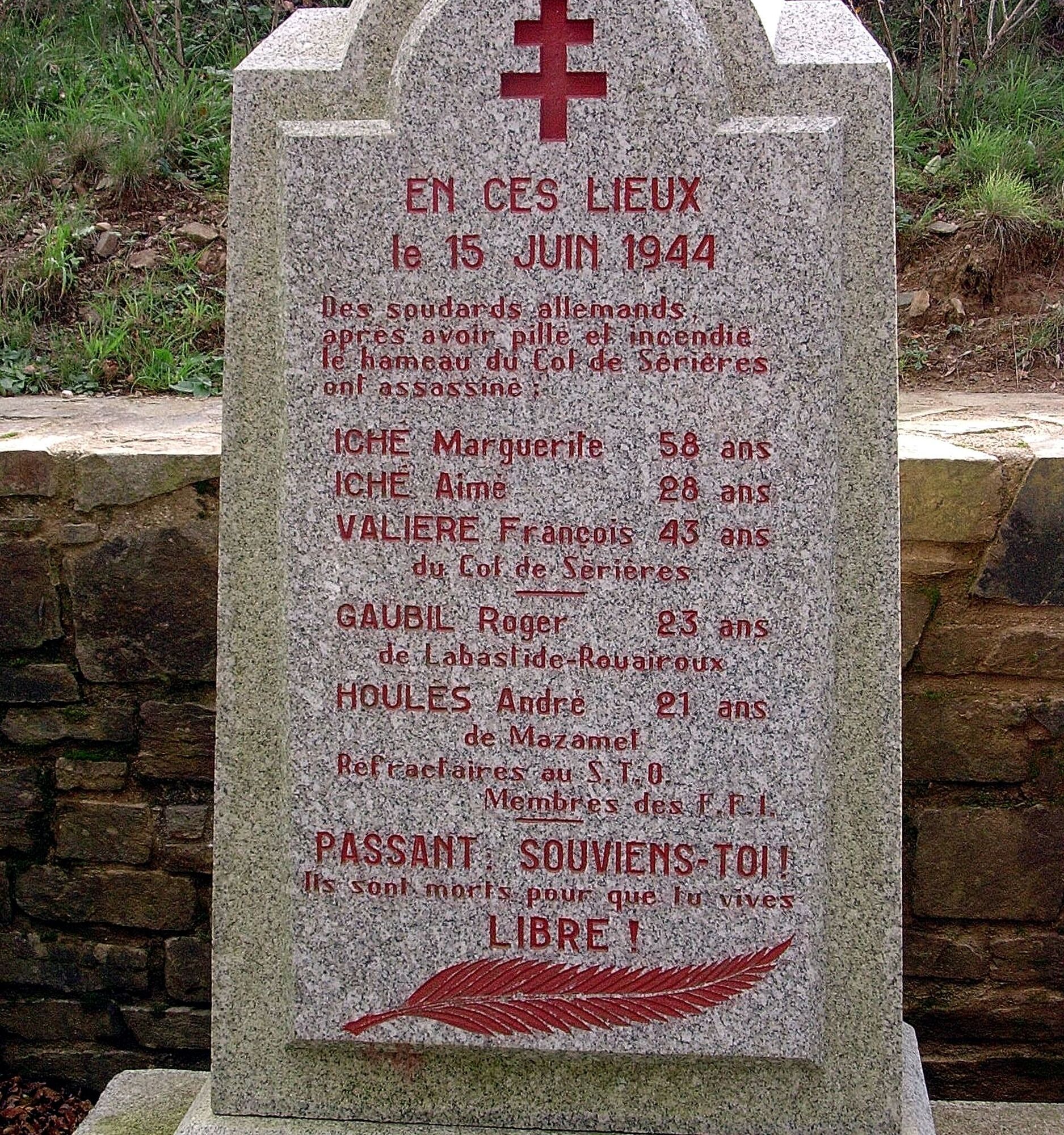
Descend via the road on the left. A shortcut on the left cuts a hairpin bend of the road. Reach the col de Serières.
5
Cross the D 920 (stele) and continue ahead by the path leading to the Serières farm. Leave the farm on the left and continue by the track that goes around it. It climbs in hairpin bends through the chestnut trees and opens onto a forest track on the ridge.
6
Take the track on the left for 2 km. It passes through pasture on the ridge and leads to a crossroads.
7
Descend the path on the left, ignoring all junctions, then take the forest track on the right.
8
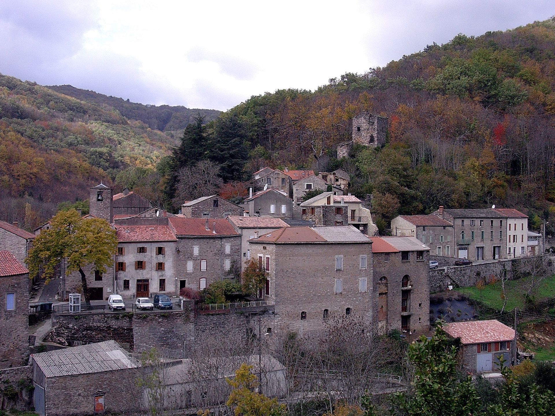
Cross the D920, pass Peyroubaille and continue along the path descending to Ferrals.
In case of emergency, call 112.
Yellow PR
+33 4 67 67 76 36
DEPARTMENTAL COUNCIL OF HÉRAULT SPORTS AND NATURE DIRECTION
PDESI
Priljubljeni izleti v okolici
-
HIKING IN THE TOWN OF MINERVE
srednjaPohodništvo 8.79 km -
Peyremaux rock
težkoPohodništvo 13.3 km -
HIDDEN HIKING TRAIL
srednjaPohodništvo 17.5 km -
CYCLE LOOP NO.12 - THE ASSAULT ON THE HAUT-LANGUEDOC FROM MINERVE
svetlobaKolesarjenje 37.3 km -
OENORANDO® DES MOURELS
svetlobaPohodništvo 6.03 km -
OENORANDO® LE CRU LA LIVINIERE
svetlobaPohodništvo 11.5 km -
Hiking: Les clairières de Sales
svetlobaPohodništvo 8.46 km -
LE SENTIER DES MEULIERES
svetlobaPohodništvo 1.02 km -
FONT GALINE - CESSERAS HIKING
srednjaPohodništvo 10.9 km -
VÉLOCCITANIE, FROM THE NAUROUZE THRESHOLD TO BÉZIERS
srednjaKolesarjenje 236.6 km

Pohodništvo in sledenje


Ne zamudite ponudb in navdiha za naslednje počitnice
Vaš e-poštni naslov je bil dodan na poštni seznam.