







BANISSOUS HIKE

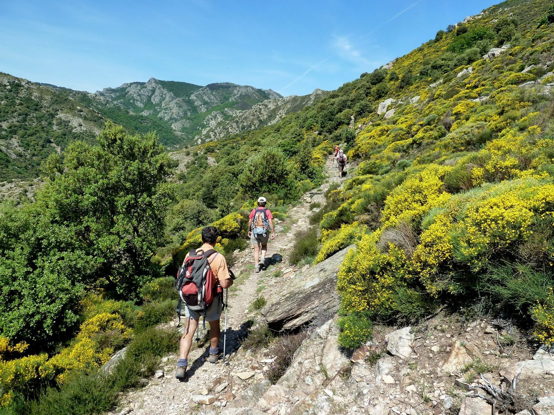
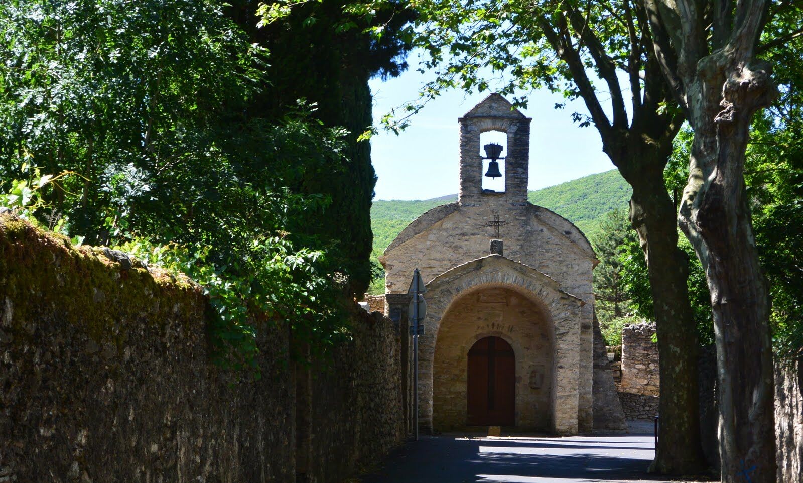
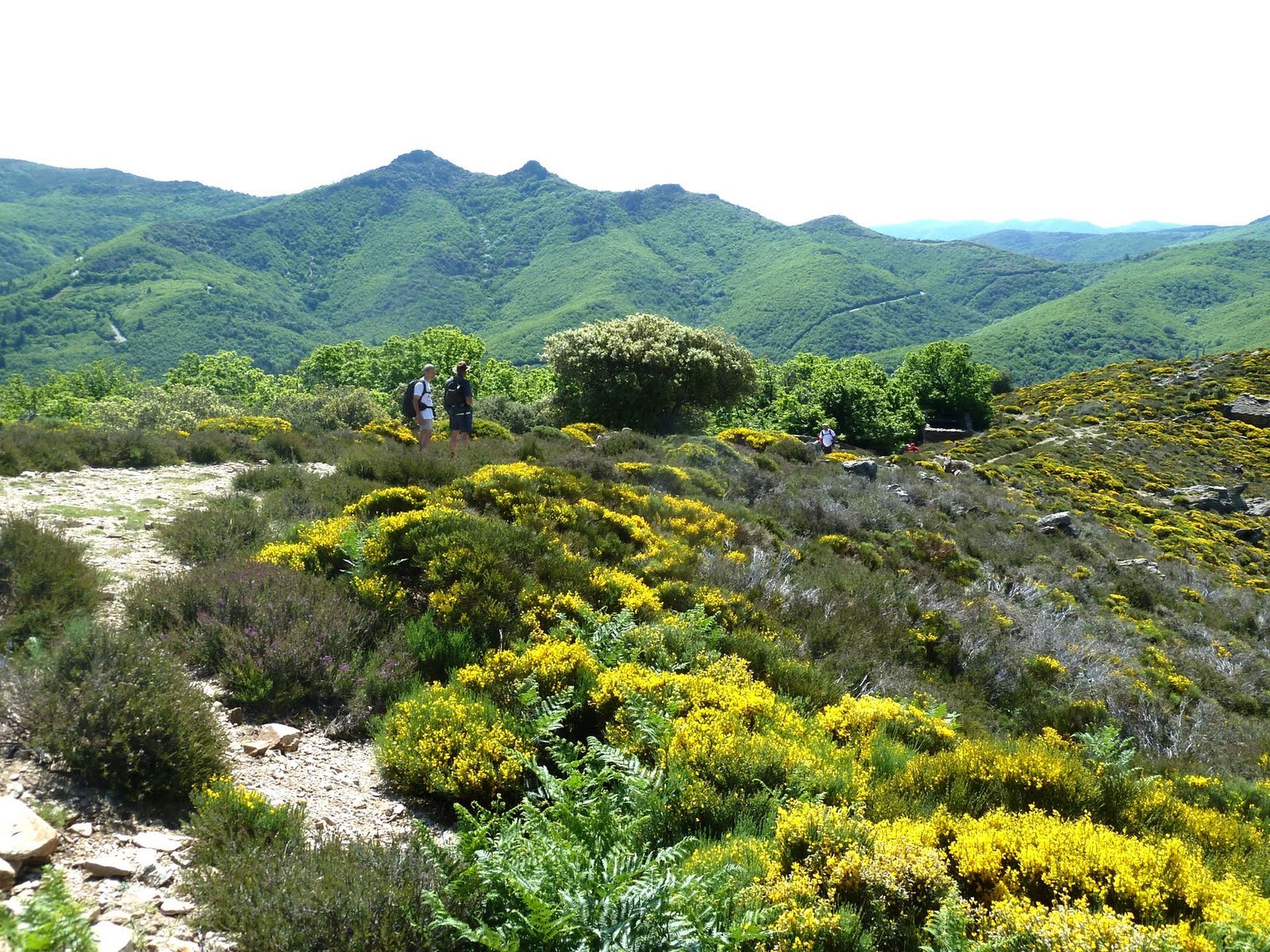
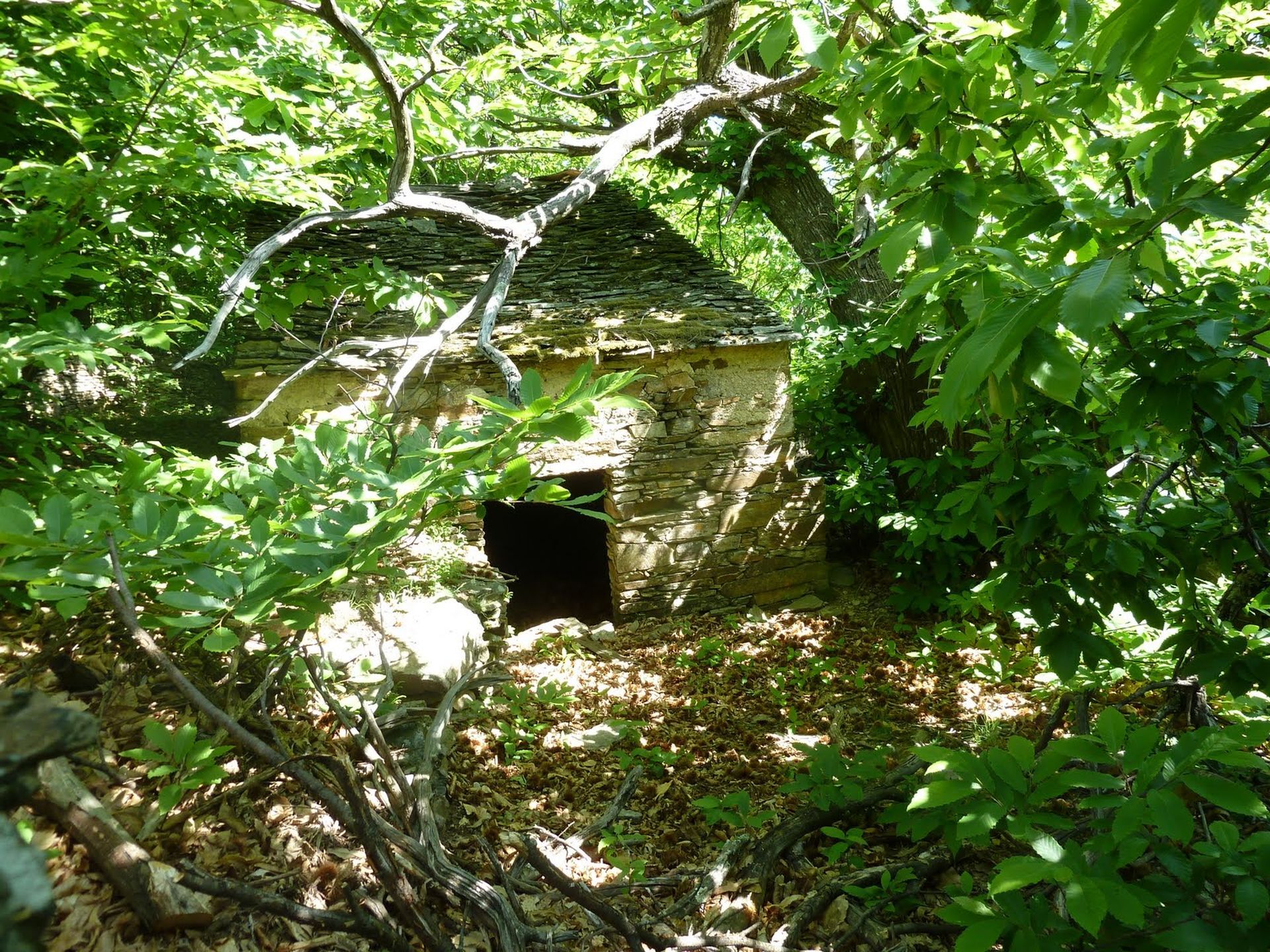
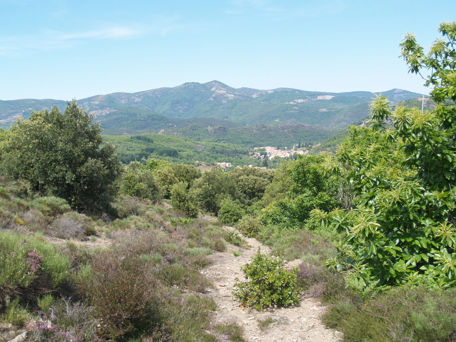
In the northern part of the Caroux, in the Haut-Languedoc Regional Natural Park, this route crosses ancient drovers' paths through fruit chestnut groves and coppice woods.


1
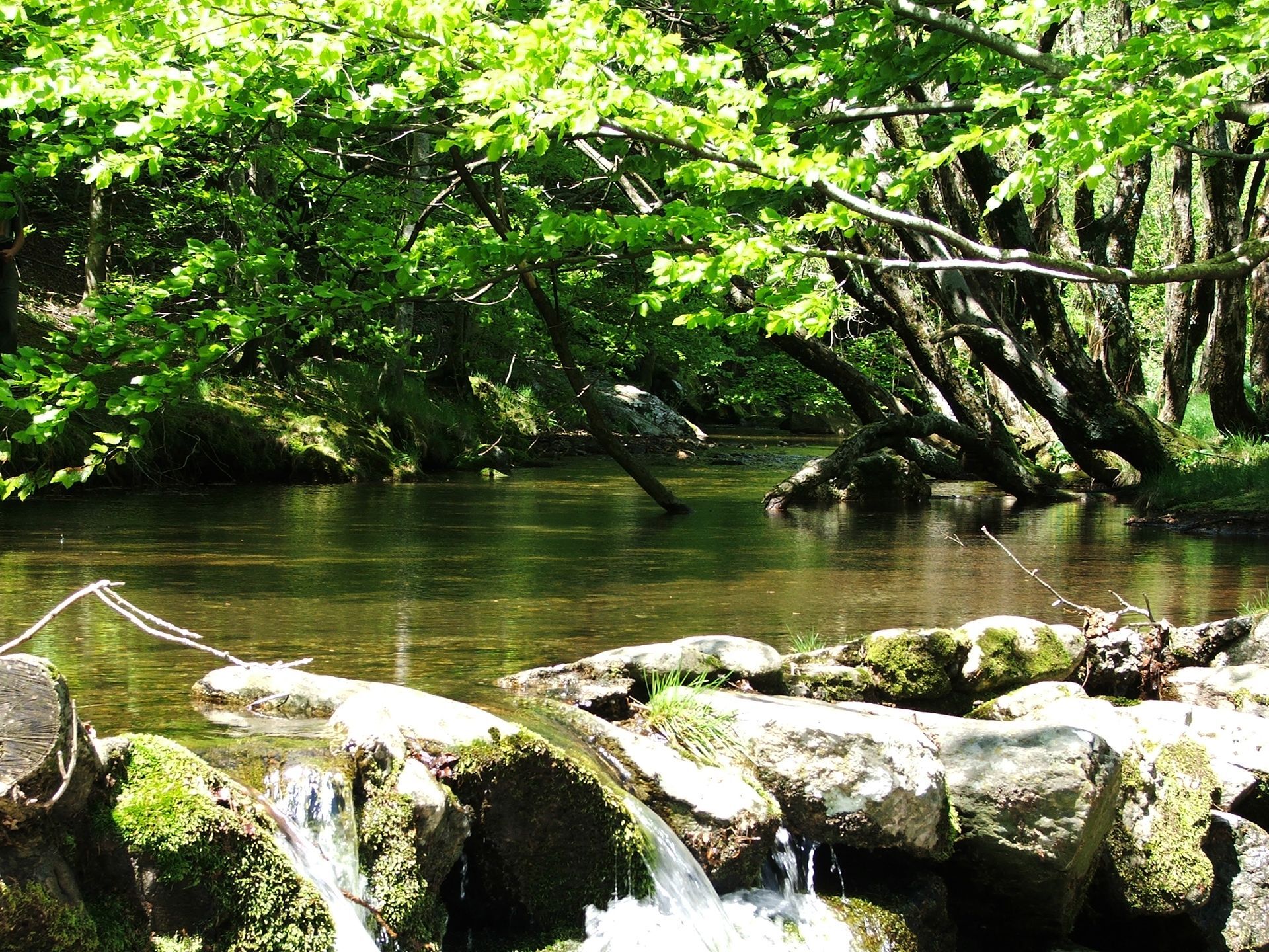
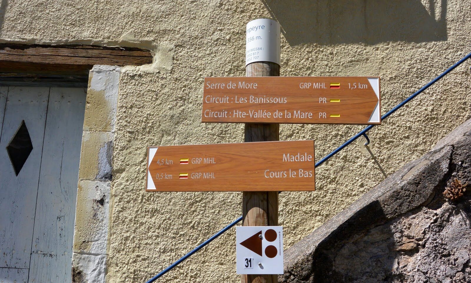
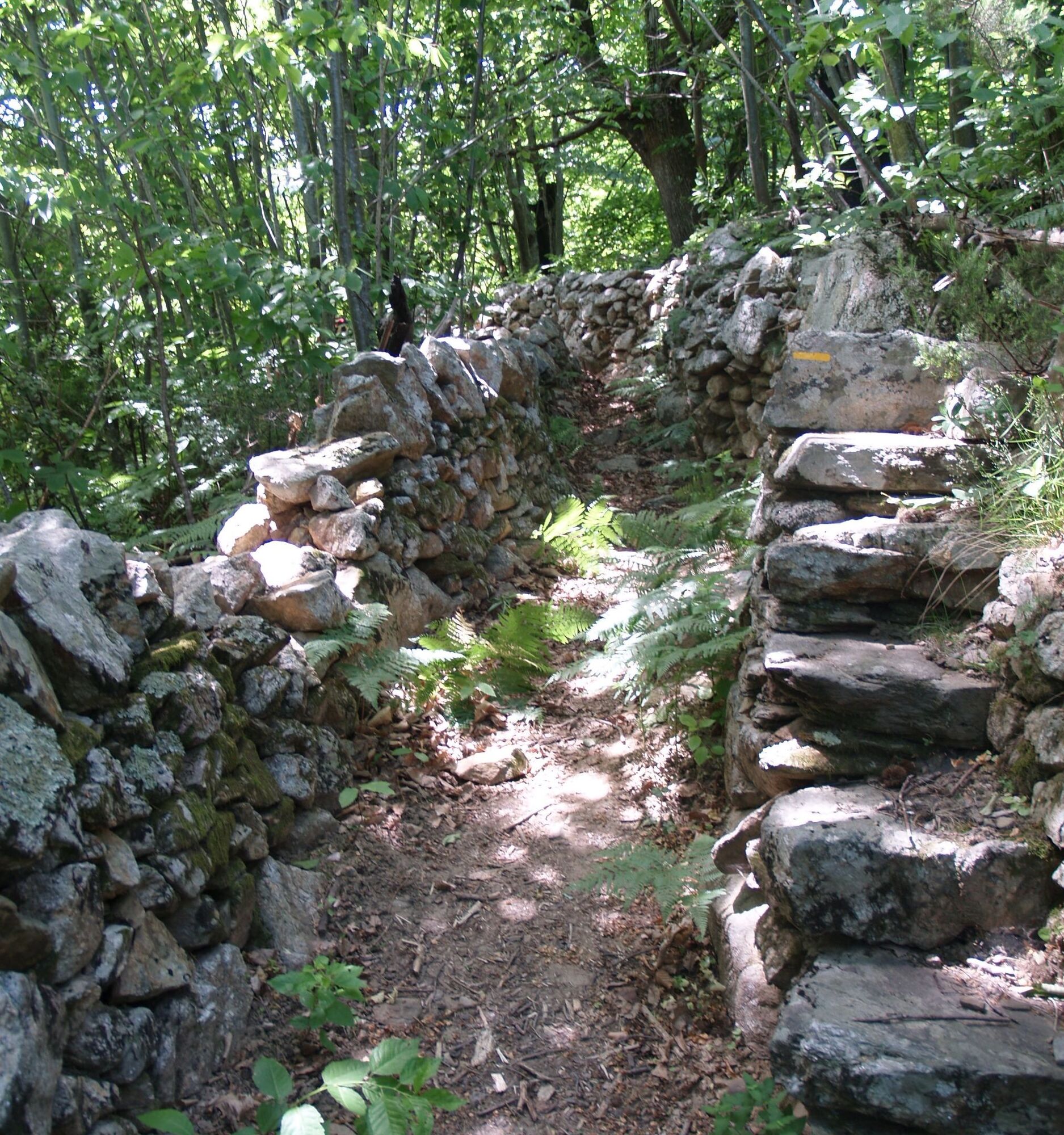
Take the paved path that goes down on the left. It turns into a trail. Cross the Casselouvre. Climb up the trail ahead. Take the track to the right and continue along the road to reach the entrance to Compeyre. Climb the stairs on the left and continue straight on the paved path then the trail. Cross the road and head straight onto a small rocky drovers' path climbing through the chestnut trees. The sunken path (used for rainwater drainage) rises and passes in front of drying racks. Climb the track to the right for 100 m and emerge onto a turning area.
2
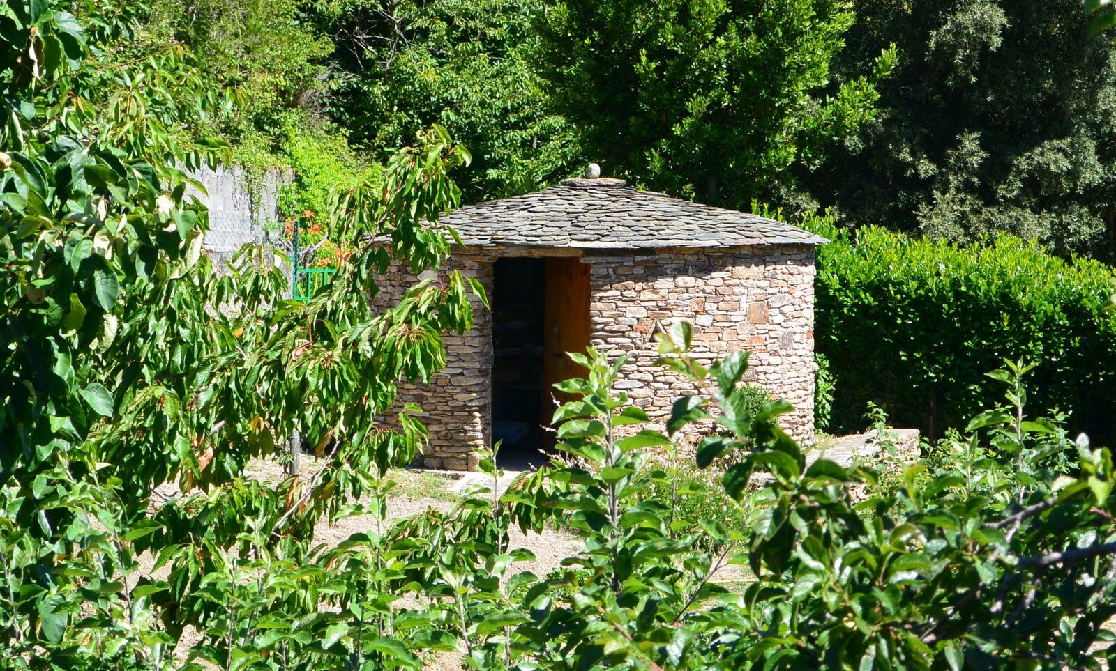
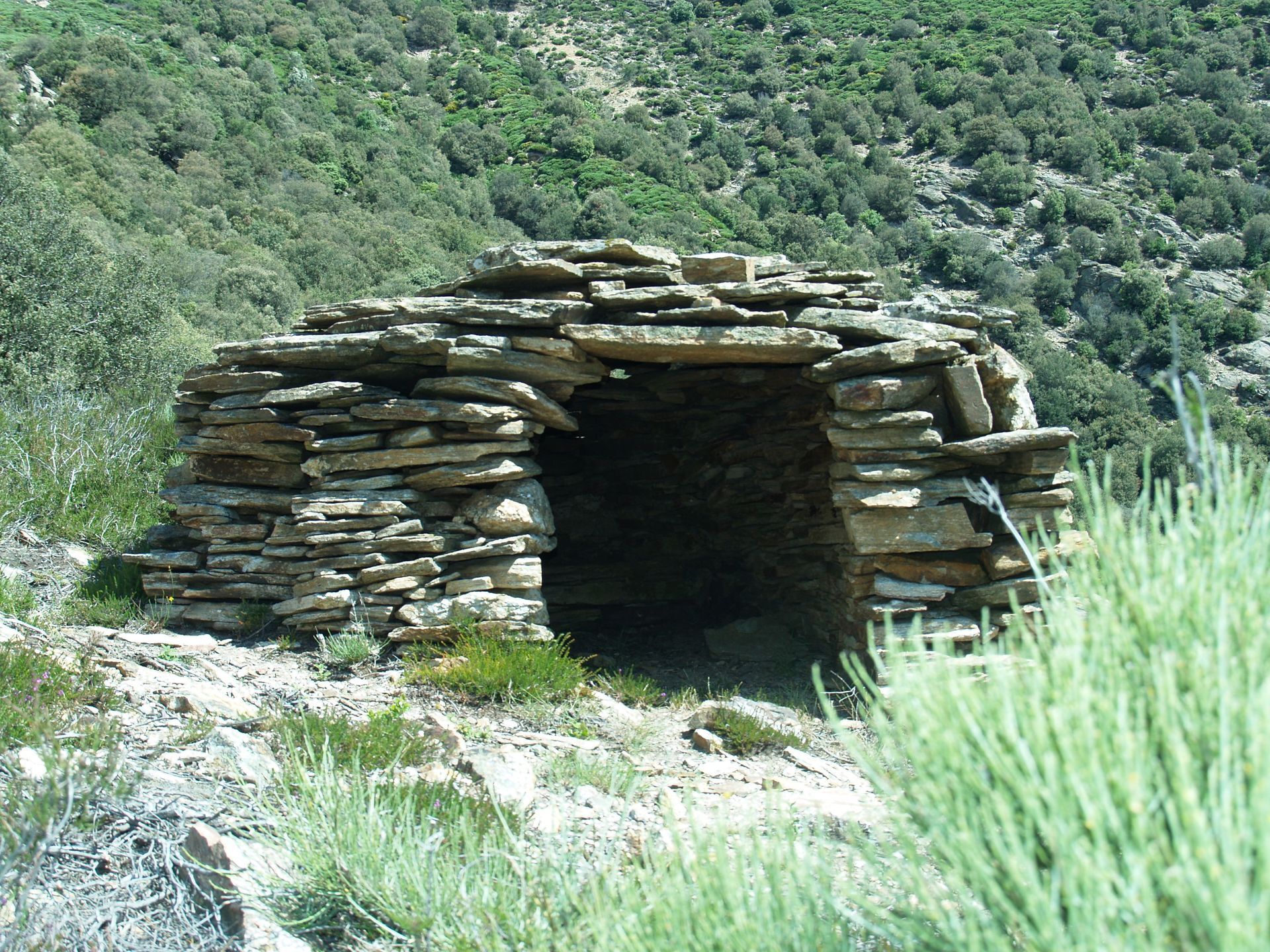
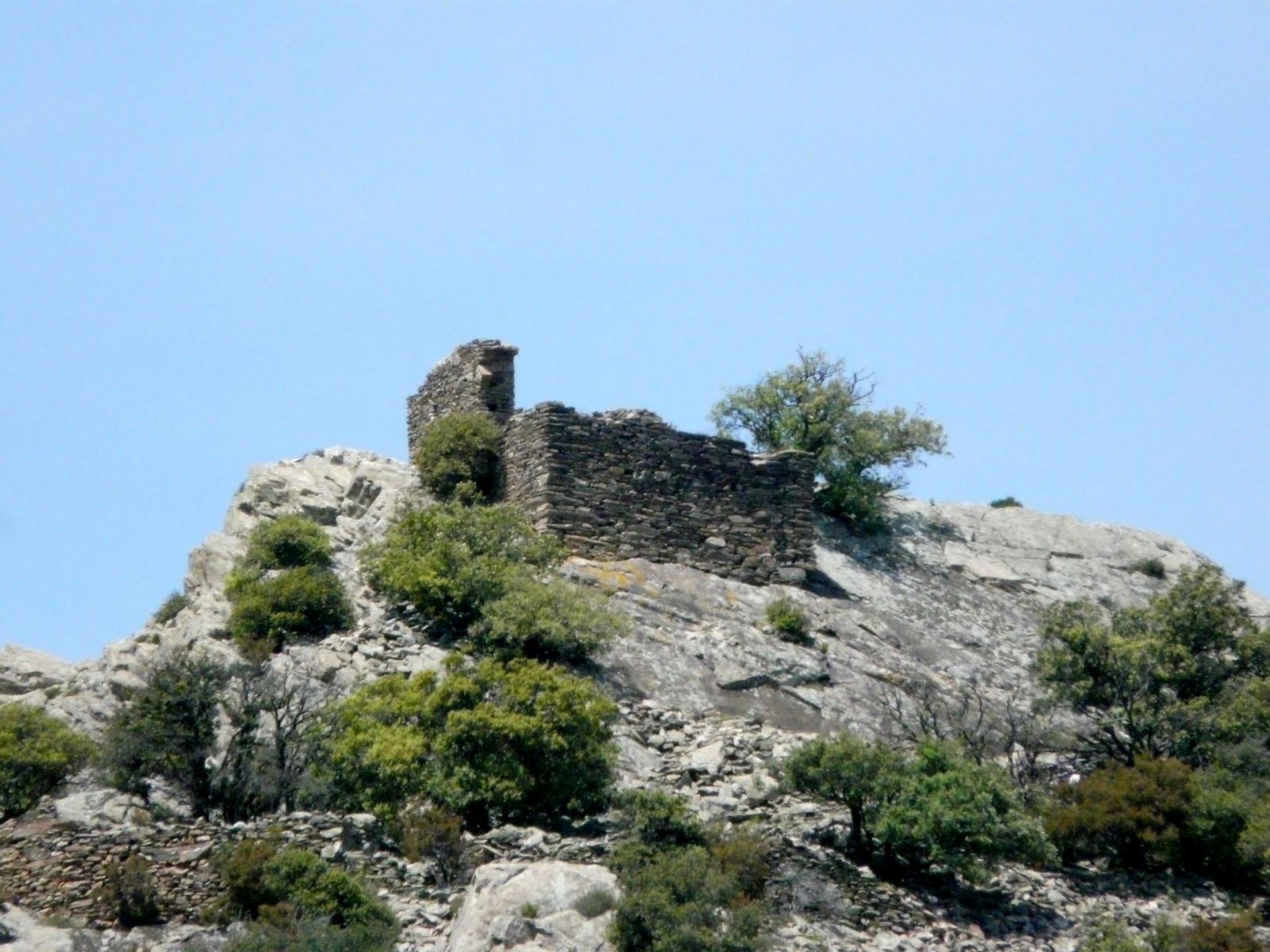
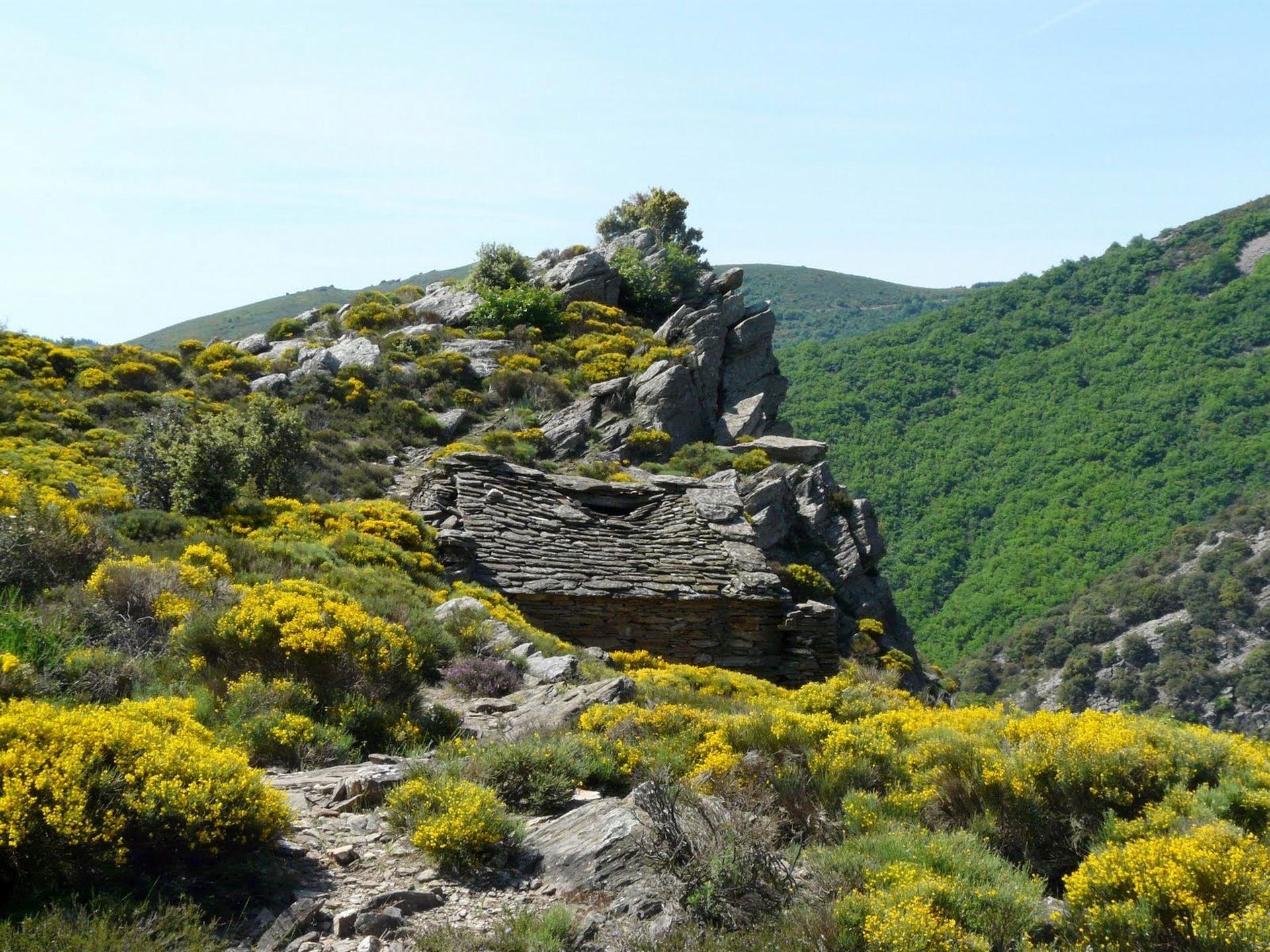
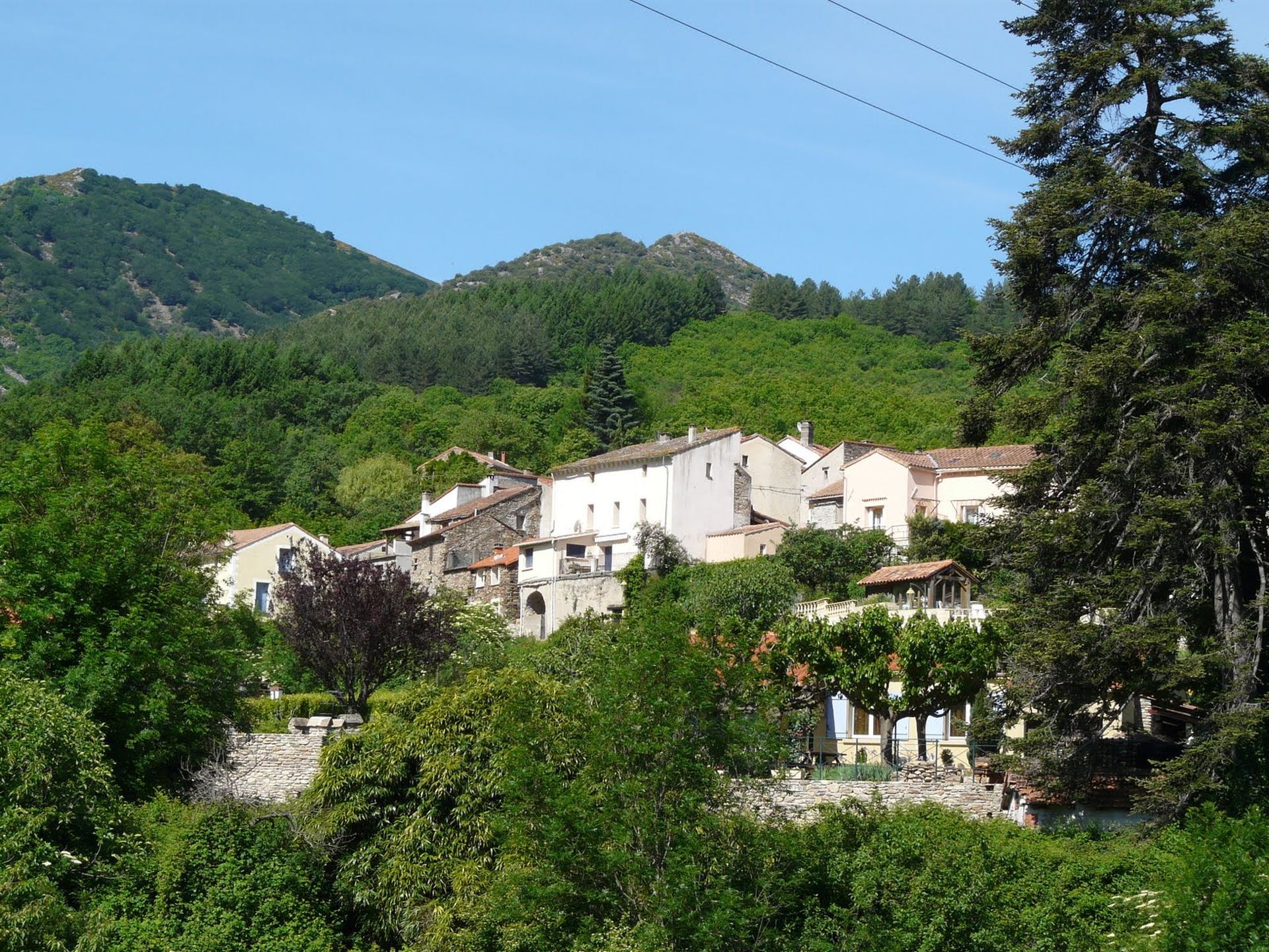
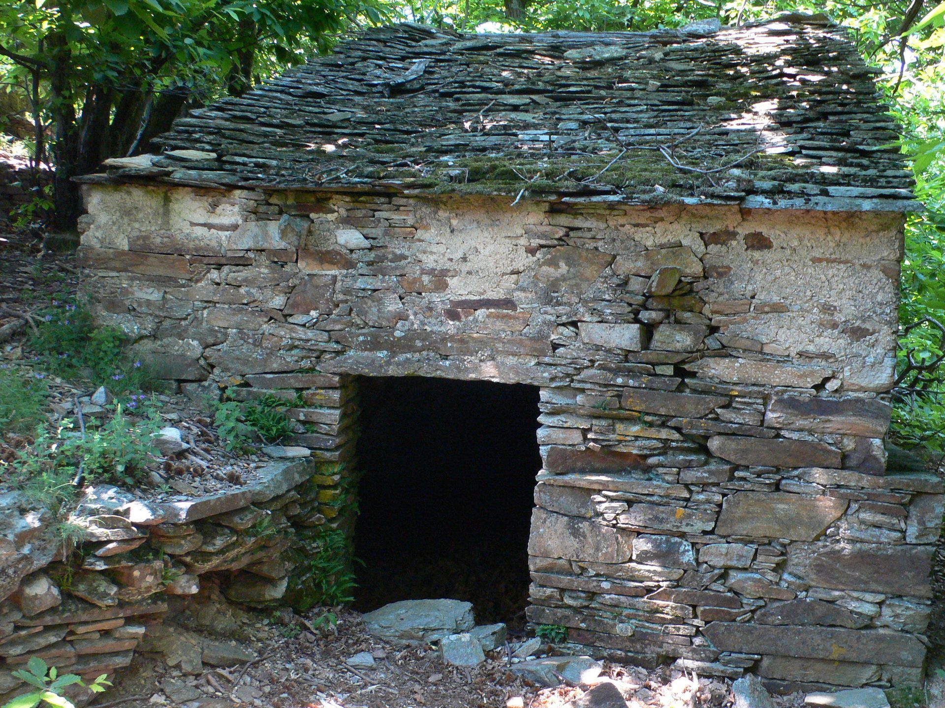
Head left through the More greenhouse and follow the balcony path (shepherds' shelters). Descend along the ridge. On the gneiss slabs cross the Casselouvre and climb the trail ahead. It winds under the green oaks and reaches a col. Leave on the left the ruined castle of Nébuzon, visible on the rocky outcrop, and descend the rocky path. Step over the stream, then reach the corner of the first house in Cours-le-Haut. > Possibility to return to the start by continuing straight on for 500 m.
3
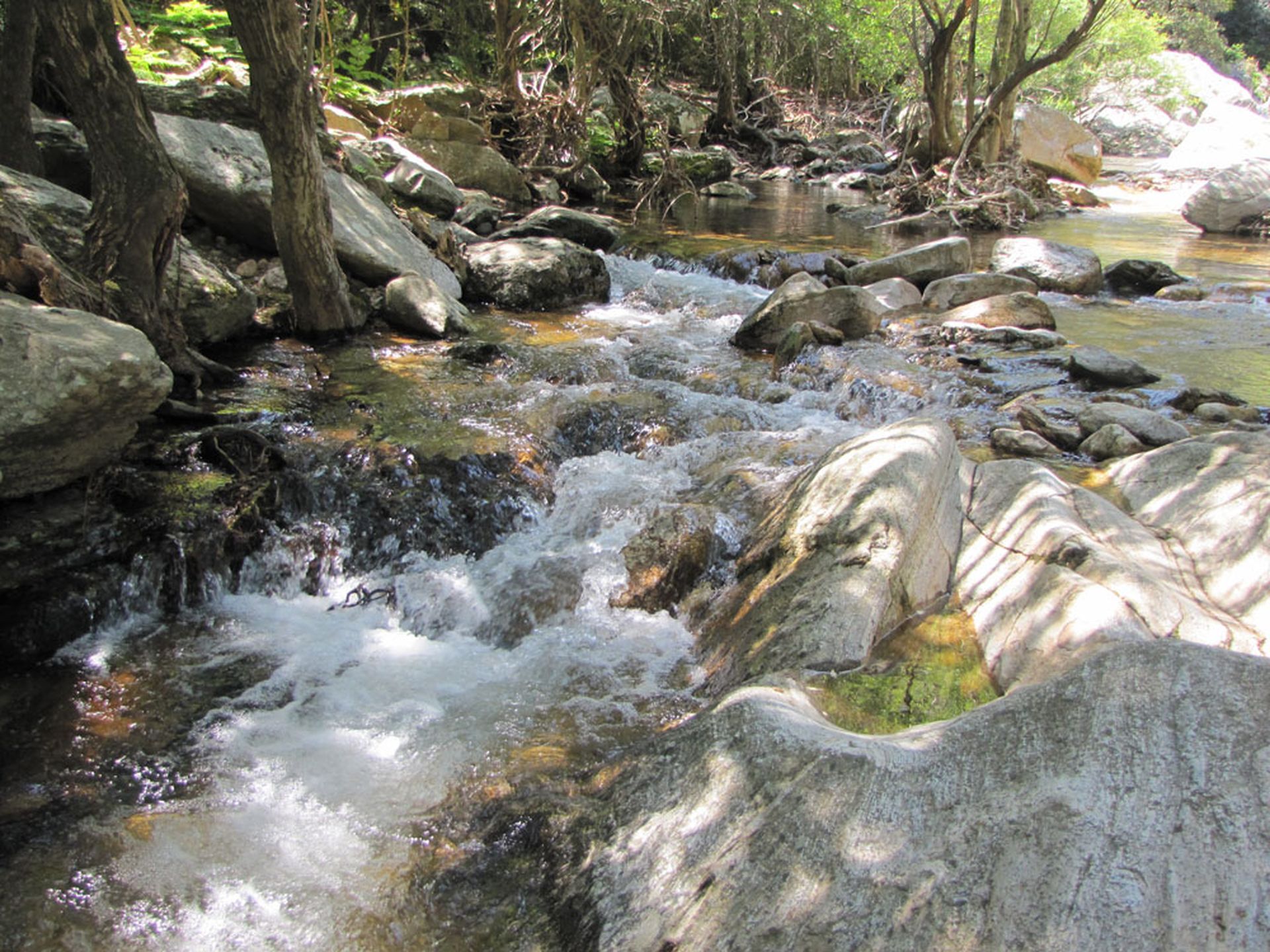
Turn right into the alley, leave the village, follow the trail along a béal and climb into the chestnut grove. The trail bordered by low walls crosses plots (chestnut picking forbidden) and reaches the confluence of two streams. Step over the first watercourse, climb for 250 m, then cross the second. Climb ahead via the switchback trail in the chestnut trees, pass under a rock shelf and reach a track at a hairpin turn (former sheepfold: private property).
4
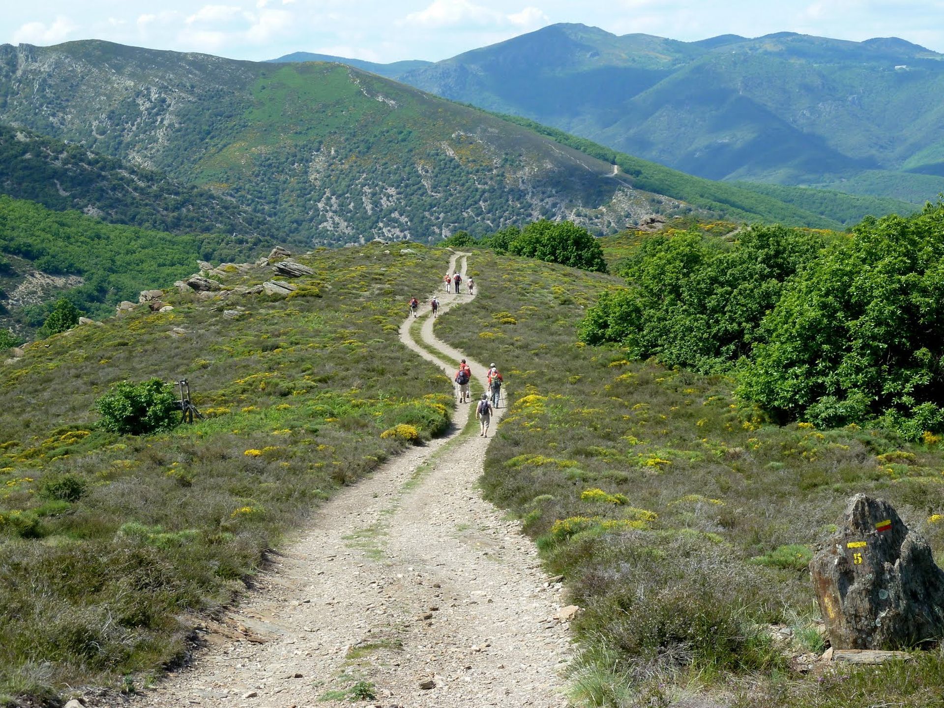
Take the track to the left. It leaves the chestnut grove in a large bend (view to the right on the ridge lined with firs of the Writers-Combatants forest). Continue on the track (800 m) to a right-hand bend.
5
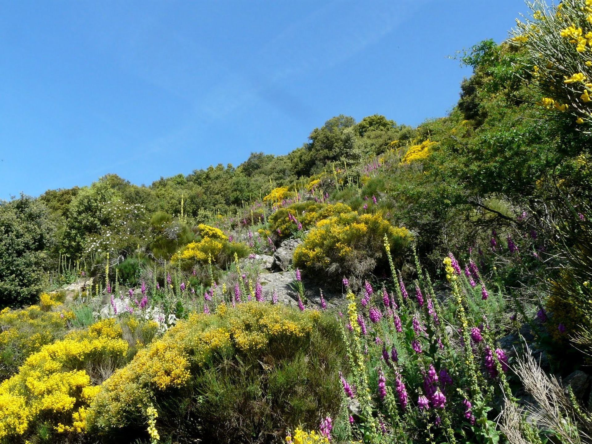
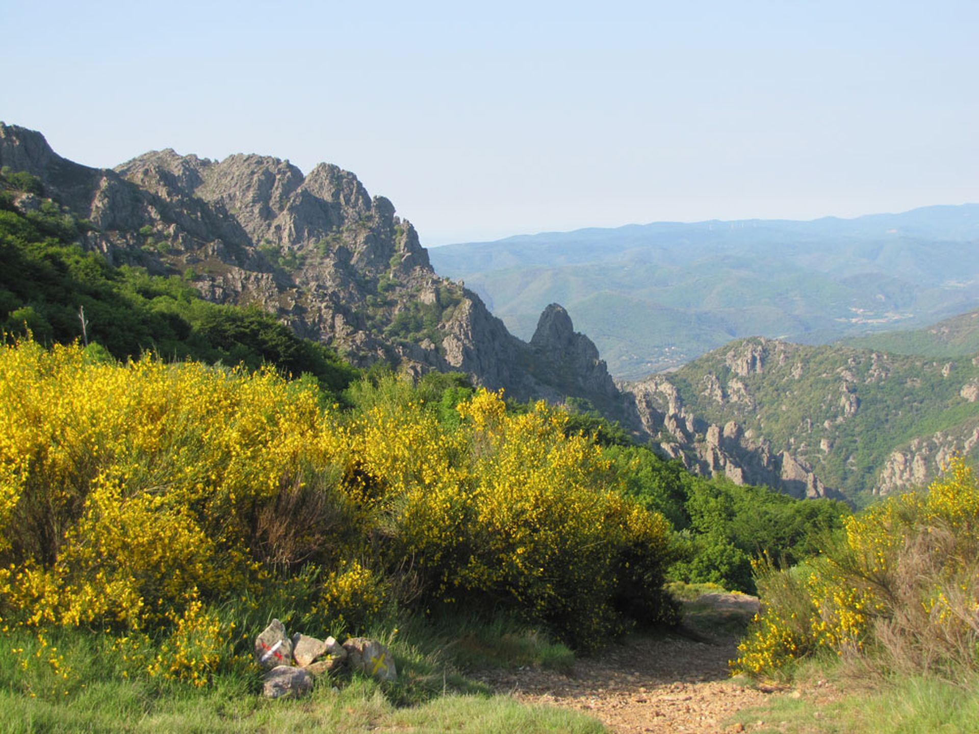
Take the small ridge track to the left, bordered on the right by chestnut trees. At the forest edge, veer right. The trail descends through broom bushes and continues left by a rocky drovers' path. Continue downhill. It leads to the parking area.
In case of emergency, call 112.
Yellow PR
+33 4 67 67 76 36
HÉRAULT DEPARTMENTAL COUNCIL SPORTS AND NATURE DIRECTORATE
PDESI
Priljubljeni izleti v okolici
-
4.0
GORGES DE COLOMBIERES HIKE
srednjaPohodništvo 12.0 km -
5.0
HIKING OF THE HÉRIC GORGES VIA THE ORIENTATION TABLE
srednjaPohodništvo 16.3 km -
4.0
CAROUX SUMMIT HIKE
srednjaPohodništvo 7.94 km -
5.0
HIKING OF THE L'ESPAZE ARBORETUM
srednjaPohodništvo 12.3 km -
5.0
HIKING ROUTE OF THE TERRASSES DE L'ESPINOUSE
srednjaPohodništvo 16.8 km -
3.0
CYCLE LOOP No. 29 - FROM THE VALLEYS TO THE PEAKS OF HAUT-LANGUEDOC
srednjaKolesarjenje 64.3 km -
5.0
HIKING THE RED ROCK
srednjaPohodništvo 7.01 km -
5.0
OENORANDO® THE VALLEY OF AROMAS
srednjaPohodništvo 13.7 km -
HERIC GORGES ROAD - MONS LA TRIVALLE
srednjaPohodništvo 9.38 km -
HIKE OF SAINT MICHEL DE MOURCAIROL
srednjaPohodništvo 11.7 km
Pohodništvo in sledenje


Ne zamudite ponudb in navdiha za naslednje počitnice
Vaš e-poštni naslov je bil dodan na poštni seznam.





