


The "Casot d'en Lic"
This short hike bears witness to the exploitation of the Albères massif. Remnants related to pastoralism and livestock farming are very prevalent: shepherd's huts, enclosures, rock shelters, adapted caves,...
This short hike bears witness to the exploitation of the Albères massif. Remnants related to pastoralism and livestock farming are very prevalent: shepherd's huts, enclosures, rock shelters, adapted caves, and ruined sheepfolds. The "Casot d'en Lic," a construction larger than a hut, served as a tool shed when the terraces below were cultivated. Panels showcasing the flora of Albèra are displayed inside.
From the Tourist Office/Hiking Center, head to the Church and the center of the village.
Facing the church gate, take Church Street, a dead-end, followed by the trail, limited on the left by a stream. The trail exits the village. While ascending, pass by the Pave Mill and Font dels Ocells. The trail follows a partially buried pipeline. At the junction, turn right (small water reservoir).
Here, a trail intersection with informative signs. Turn left towards the Cabanes.
At the "Mas Bordes" (completely renovated construction), continue straight along the building. The ascent is through a wooded area to a trail intersection with a signpost.
Follow the direction "Col de l’Ullat" to the next trail crossing, where you'll do the same.
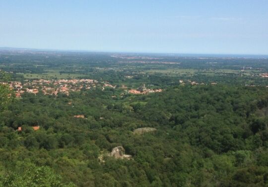
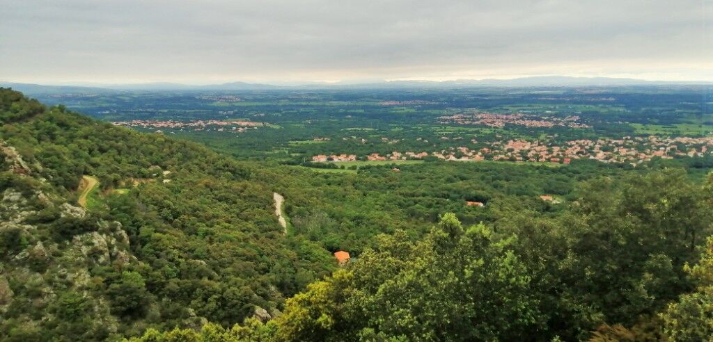
Take the trail in front. The narrow passage between two rocks, formerly used by shepherds to count their animals (Portell Estret). The path, always marked in yellow, continues south, with a slight ascent. A narrow ledge with beautiful panoramas of Laroque. The trail crosses a first ravine and then the small river: Correc de les Teixoneres.
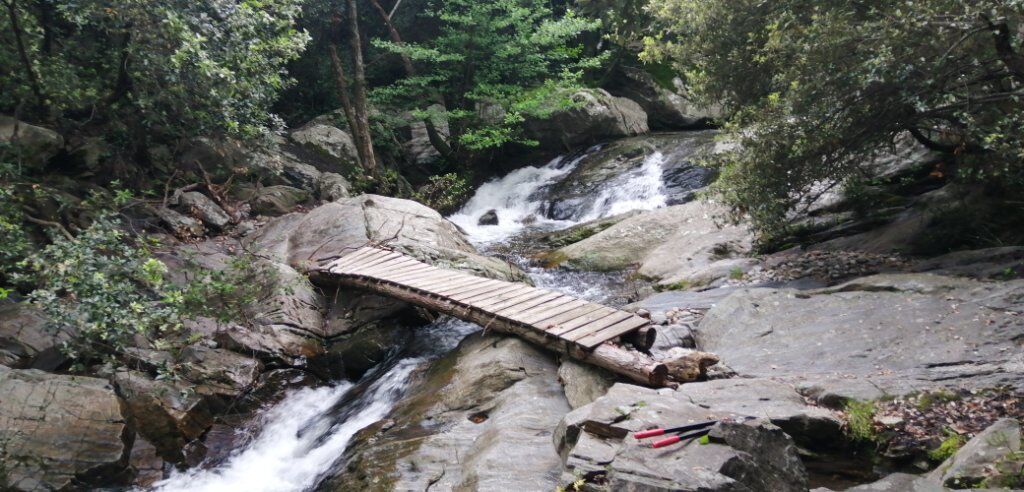
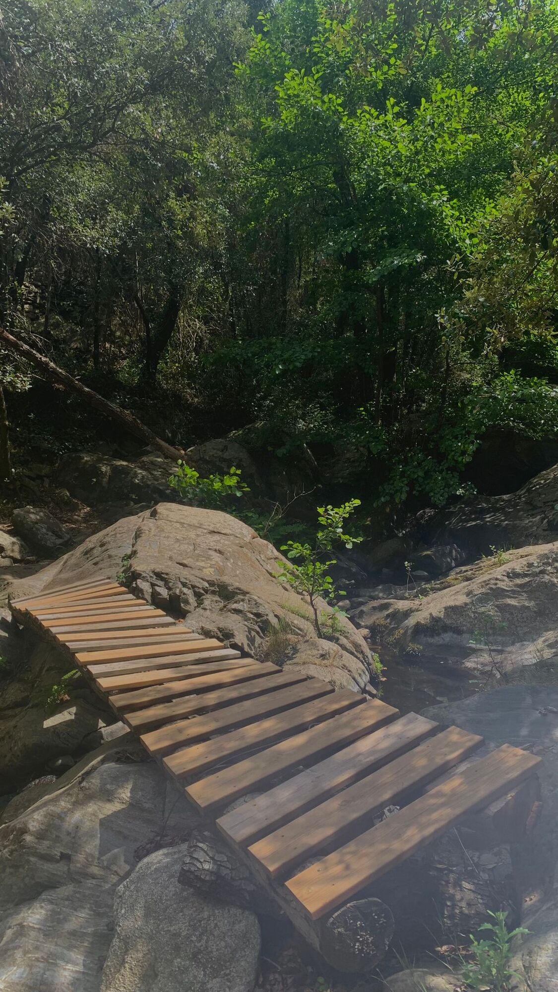
At the intersection, take the somewhat steep descent towards Mas d’En Lic. Reach the river, which needs to be crossed at the arranged crossing point. Follow the yellow markings along the river. Arrive at a cleared space, take the trail that ascends towards a small restored farmhouse (Mas d’En Lic). From the trail, the Tower of Laroque becomes visible. Continue in that direction.
At a cliff, the trail has been equipped with a handrail. Be cautious. Continue straight to reach the track that needs to be descended by following the switchbacks to the paved road. Continue straight after the ruins of Roca Vella.
After the Sant Sebastia chapel, turn right onto the Florentine footbridge that crosses the gardens of Laroque.
Ascend to the right on Château Street, pass in front of Church Street, then descend.
After Place de la République, take Marshal Joffre Street, then at the fork on the left to reach the Tourist Office.
D2, D618 and D11
Hikers' parking at the stadium
Bring water, a cap, and a windbreaker. Check the weather before departure. Carry your waste back.
Priljubljeni izleti v okolici
-
5.0
Néoulous summit - Col de l'Ouillat
srednjaPohodništvo 16.9 km -
The Massane tower
srednjaPohodništvo 12.4 km -
4.0
Les Balcons d'Argelès (mountain bike)
srednjaMountainbike 19.4 km -
Hauts des Forts Trail (Long Version)
srednjaTrailrunning 21.8 km -
From Lavail to Valmy via the Tour de la Massane
srednjaPohodništvo 10.3 km -
The balconies of Sorède from Lavail
težkoPohodništvo 22.6 km -
Top of the forts - The small course
srednjaPohodništvo 12.4 km -
From Château de Valmy to Château Royal via the Madeloc Tower
težkoPohodništvo 22.6 km -
Trail the tops of the forts (short version)
srednjaTrailrunning 12.4 km -
Peak of San Cristau
srednjaPohodništvo 8.86 km

Pohodništvo in sledenje


Ne zamudite ponudb in navdiha za naslednje počitnice
Vaš e-poštni naslov je bil dodan na poštni seznam.