


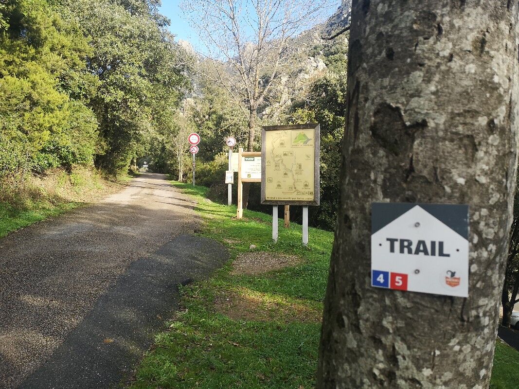
TRAIL AREA MONTAGNES DU CAROUX - ROUTE 4 - THE BALCONIES OF CAROUX
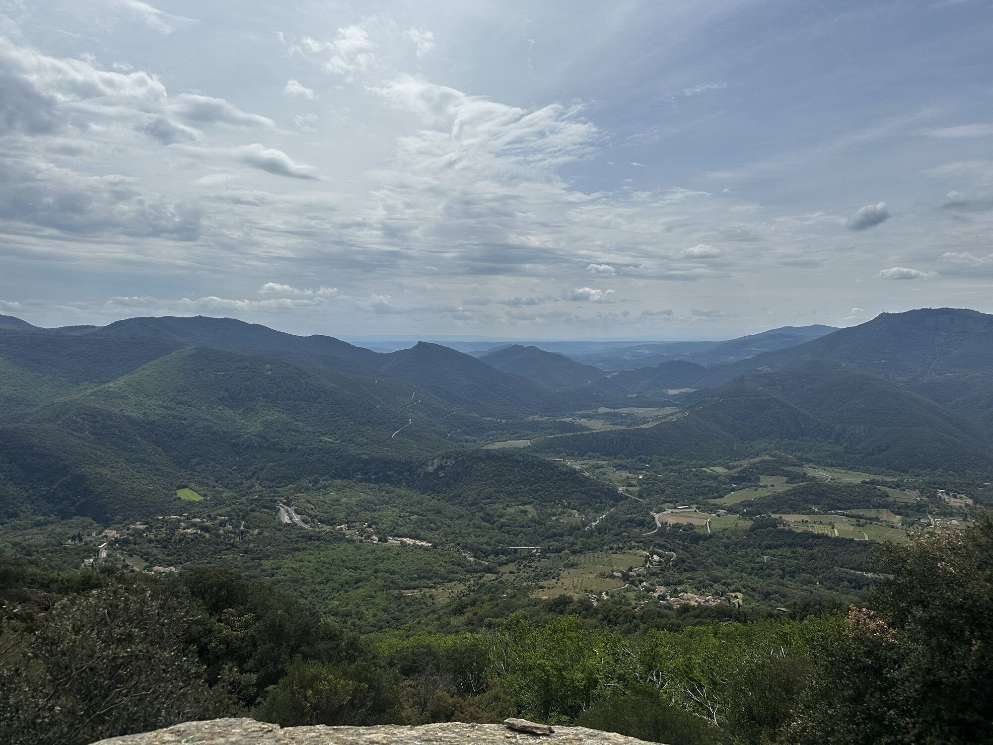
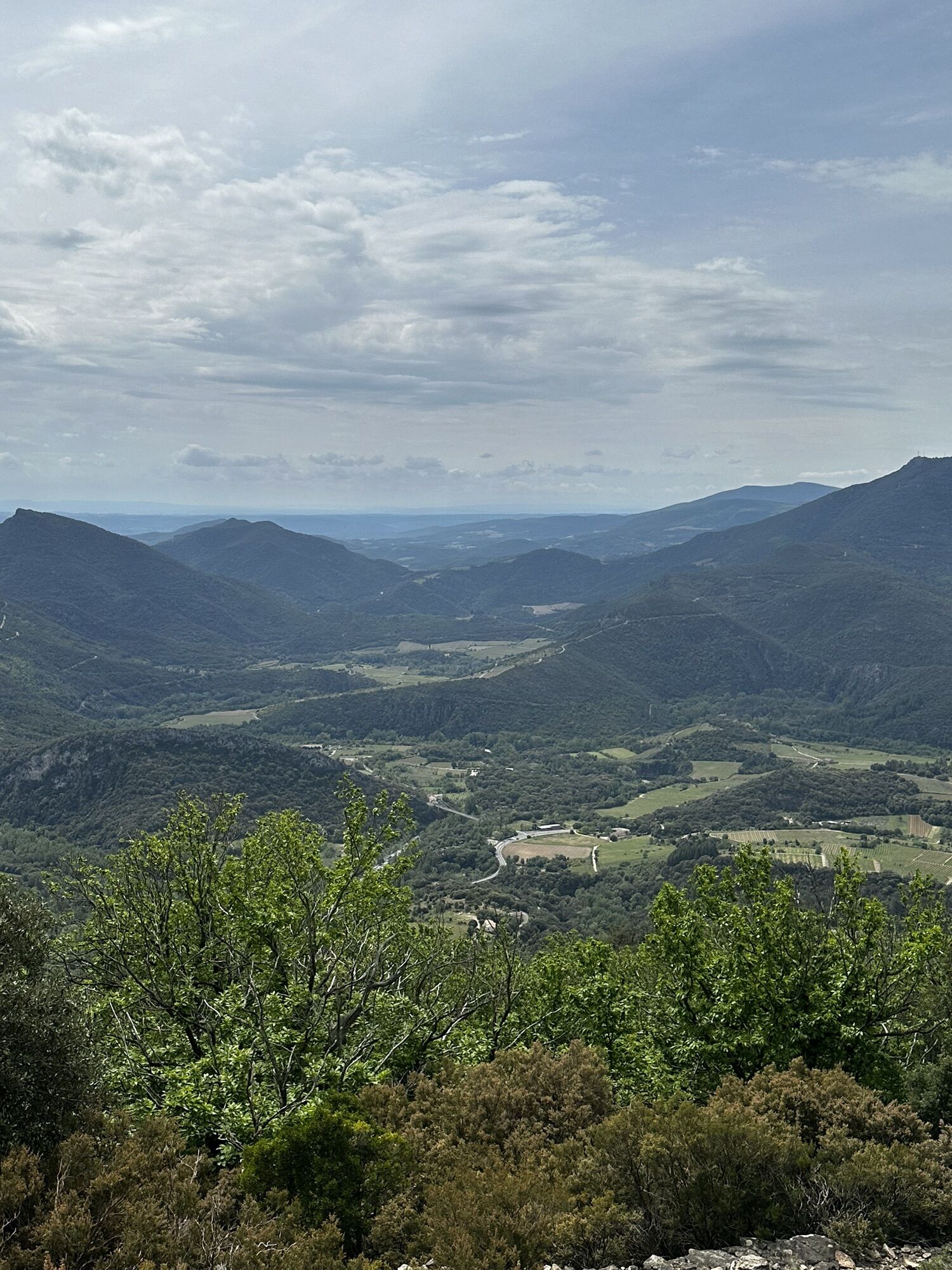
Enjoy a short but both technical and scenic route, ideal for practicing the sequence of uphill and downhill on a technical trail. You will discover the foothills of the Caroux and the magnificent Sentier...
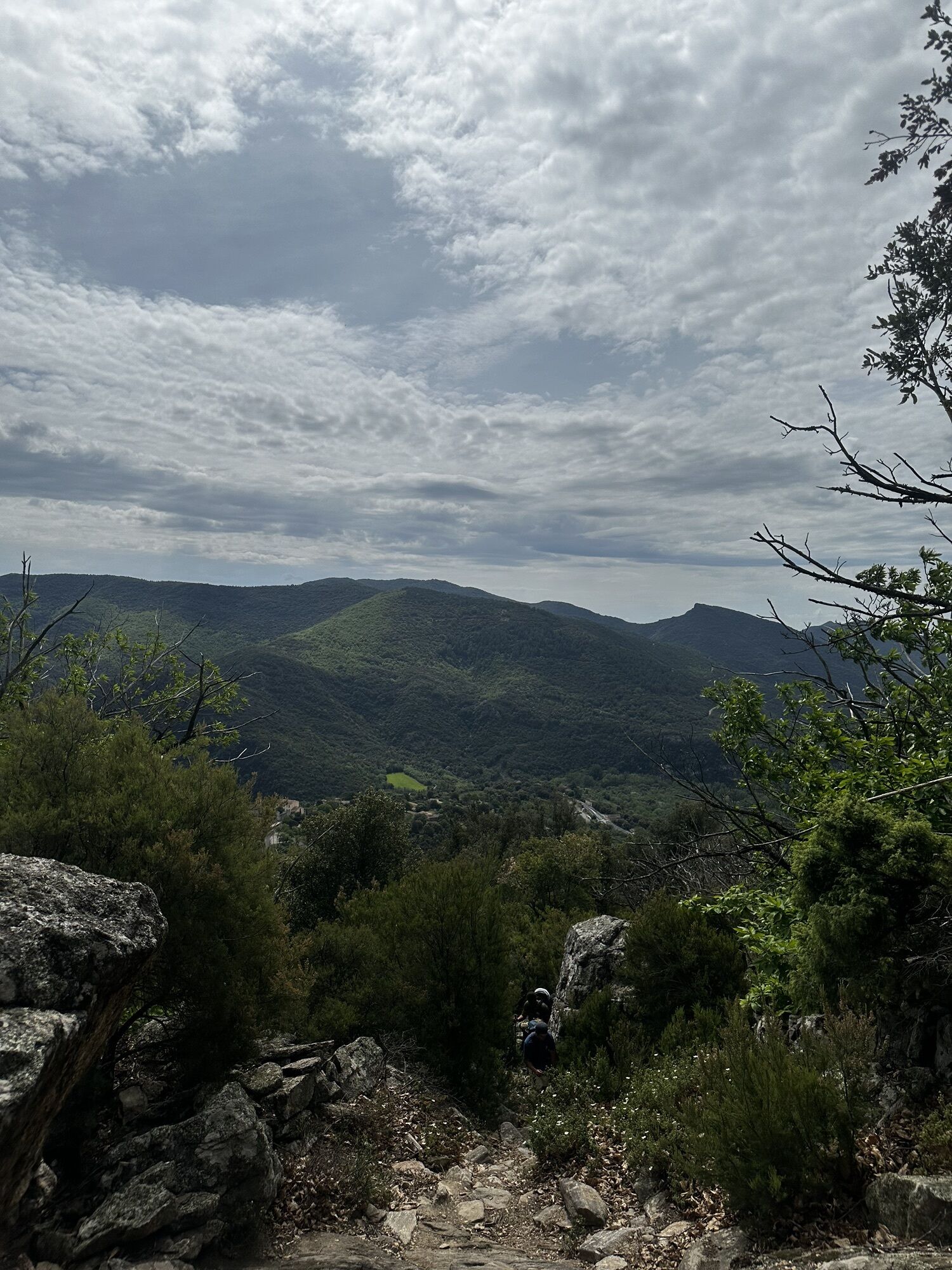
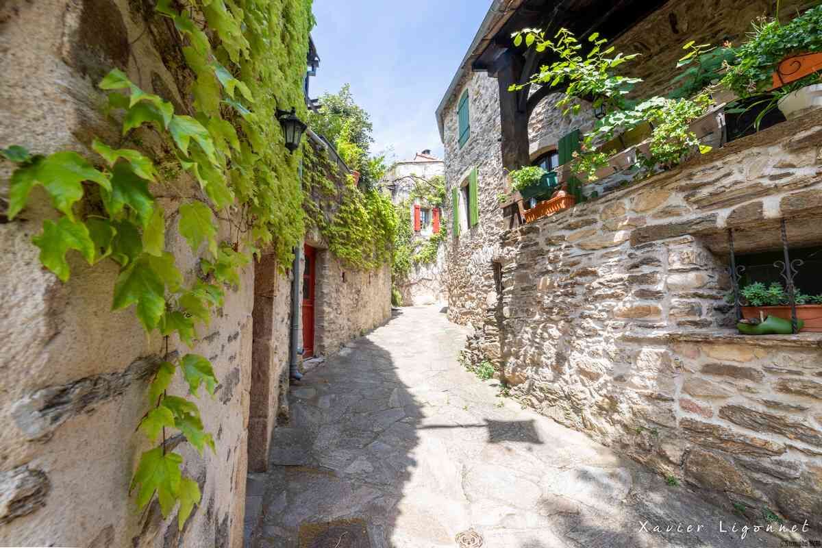
Enjoy a short but both technical and scenic route, ideal for practicing the sequence of uphill and downhill on a technical trail. You will discover the foothills of the Caroux and the magnificent Sentier des Gardes before descending on a paved path in the heart of Saint Martin de l’Arçon, a hamlet with stone houses, typical of the area. You will then return to the Gorges d'Héric up to the Passerelle des Soupirs before returning to Mons by the outward route.
Between two trail markers, follow the hiking markings (color to follow indicated on each trail blade).

1
Start from the Mons-la-Trivalle tourist office: take the street that runs along the left side of the café. Turn right onto rue de la Justice then continue straight on the route des Gorges d’Héric for 600 m.
2
Intersection: at the cross, turn left and continue to climb the route des Gorges d’Héric for 700 m to reach the Passerelle des Soupirs.
3
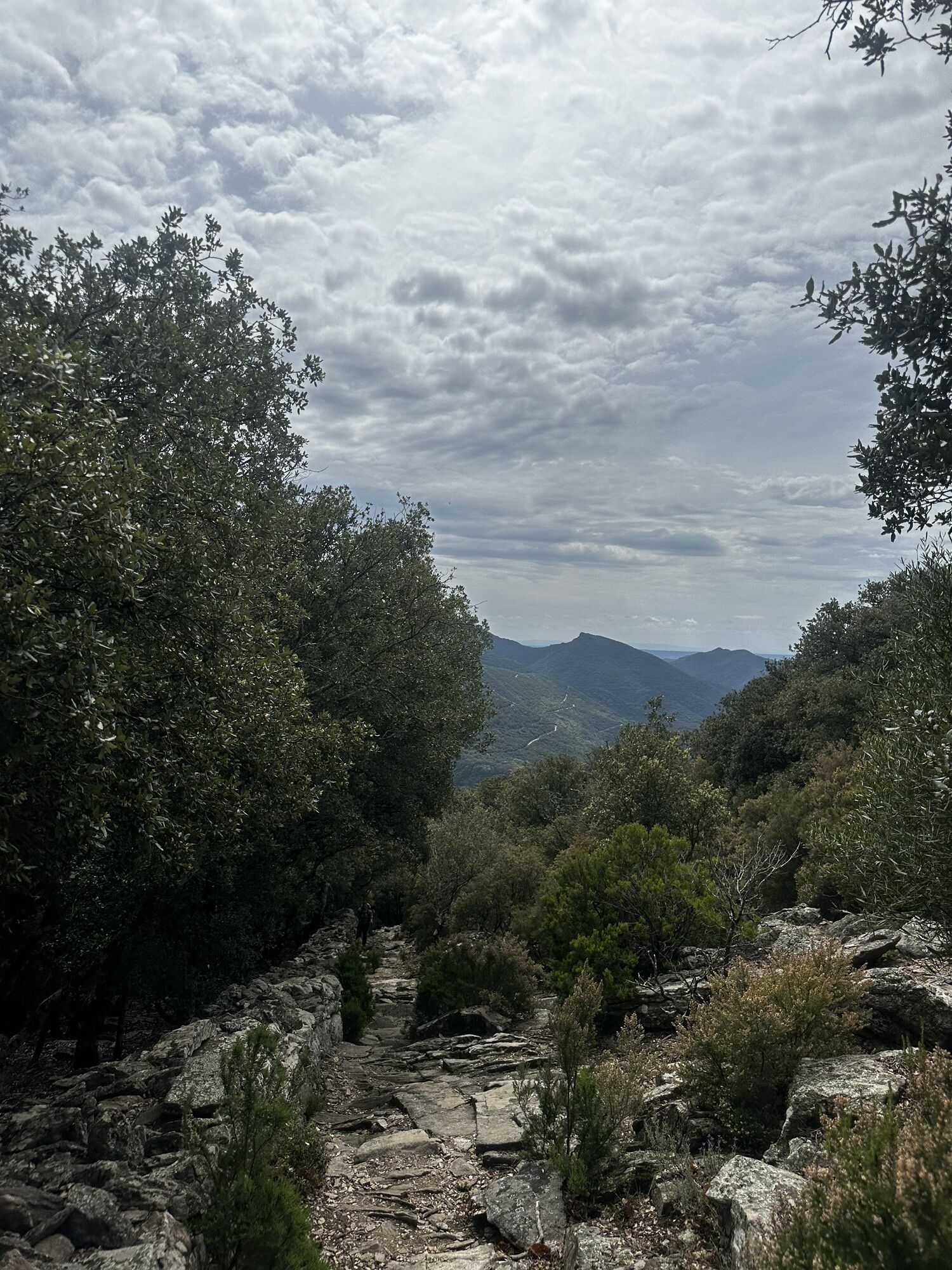
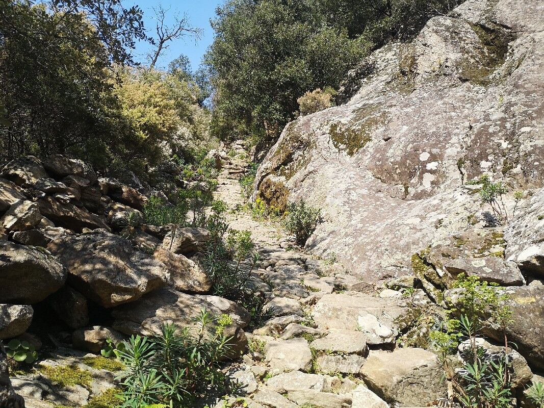
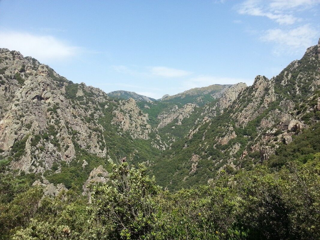
Passerelle des Soupirs: beginning of the Gorges d’Héric, a classified natural site, made up of natural pools and waterfalls. Cross the footbridge and take the Sentier des Gardes to the left. Climb following the GRP markings (yellow/red) and PR yellow to reach the Saint-Martin junction (climb of 2.7 km and 480 m+).
4
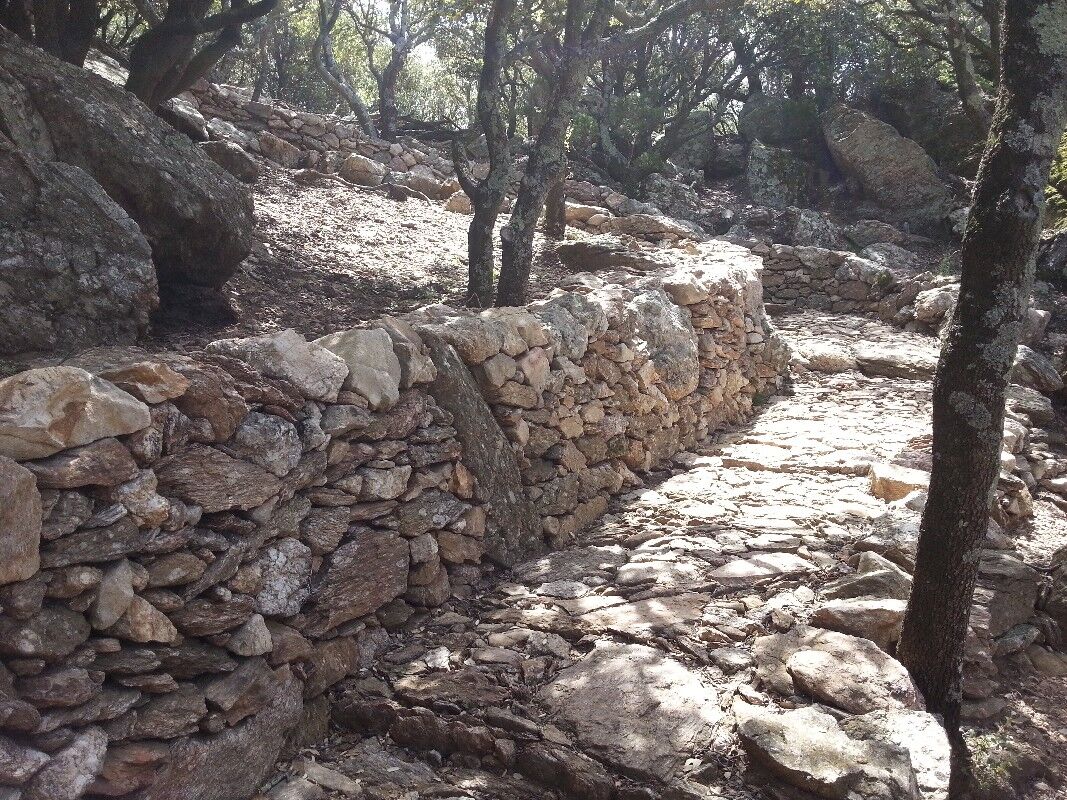
Saint Martin junction: turn right, descend towards Saint-Martin-de-l’Arçon, along the paved path, among the old chestnut terraces (follow PR yellow markings).
5
Saint-Martin-de-l’Arçon: a village with typical architecture, with its stone houses and slate roofs amidst paved streets. Cross the first hamlet Le Mas le plus Haut to reach Saint-Martin-de-l’Arçon. At the main street, turn right onto route de Saint-Martin then go down the alley to the left. The path opens onto a paved road. Turn right to reach La Coste (PR yellow markings).
6
La Coste: go straight on rue du Roc de l’Homme and cross the village. At the end of the street, turn right onto rue de la Calade and go through an archway. Go down to the left and cross the ford. Continue along the path lined with walls, up to the Gorges d’Héric. Once at the Passerelle des Soupirs, return by the outward path to the starting point.
+33 4 67 97 06 65
Priljubljeni izleti v okolici
- 4,0
GORGES DE COLOMBIERES HIKE
srednjaPohodništvo 12,0 km - 5,0
HIKING OF THE HÉRIC GORGES VIA THE ORIENTATION TABLE
srednjaPohodništvo 16,3 km - 4,0
CAROUX SUMMIT HIKE
srednjaPohodništvo 7,94 km - 5,0
HIKING ROUTE OF THE TERRASSES DE L'ESPINOUSE
srednjaPohodništvo 16,8 km - 5,0
OENORANDO® THE VALLEY OF AROMAS
srednjaPohodništvo 13,7 km - 3,0
CYCLE LOOP No. 29 - FROM THE VALLEYS TO THE PEAKS OF HAUT-LANGUEDOC
srednjaKolesarjenje 64,3 km HIKE OF SAINT MICHEL DE MOURCAIROL
srednjaPohodništvo 11,7 kmHERIC GORGES ROAD - MONS LA TRIVALLE
srednjaPohodništvo 9,38 kmTOUR DE LAC DE VESOLES HIKE
svetlobaPohodništvo 6,27 kmHIKING OF THE ROQUANDOUIRE GATEWAY
srednjaPohodništvo 10,5 km
Pohodništvo in sledenje


Ne zamudite ponudb in navdiha za naslednje počitnice
Vaš e-poštni naslov je bil dodan na poštni seznam.