


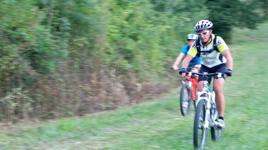
From Kaze to Yane - Mountain bike
Distance: 45.00 km
Total elevation gain in meters: 1063
Duration: 4 hours


Cross the Gimone river behind the campsite (make sure to follow the red route no. 2 marking) continue on your way, follow the river to the Larrouy wood at St Elix.
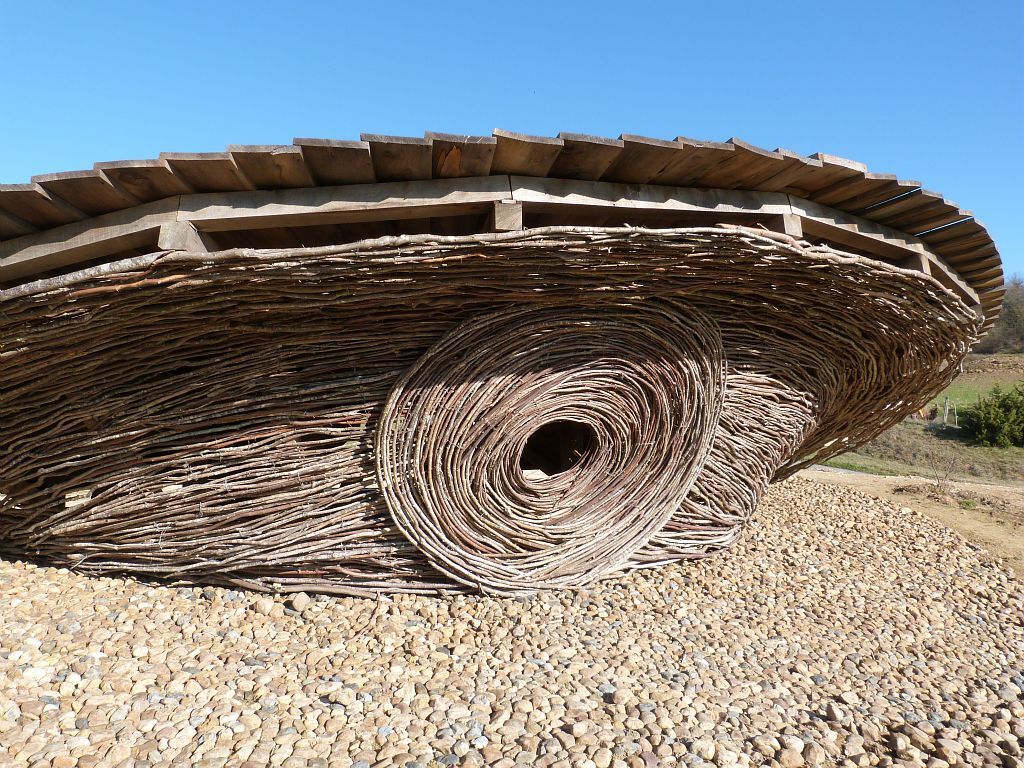
Crossing the wood, admire the work "KAZE" (wind in Japanese) by Teruhisa SUZUKI, which resembles a tornado held in balance.
Cross the D12 and continue to the paved road towards Saramon. At the end of the wood, descend into the Lauze valley which you ascend for a few kilometers.
Cross the river and go up towards Moncaut. You have a magnificent view of the Faget Abbatial abbey, one of the oldest in Gascony.
Continuing on your way, you pass near a beautifully restored windmill to descend to Lamaguère, where you can see the ruins of the 12th-century castle.
Join the Aguin wood, descend to Lambert on the Arrats valley and climb to Plan. Cross the wood, pass the ford to go up towards En Herranet.
The descent into the Gimone valley poses no problem. Cross the D12 at the dovecote (stop here) and after crossing the river, climb towards Villefranche.
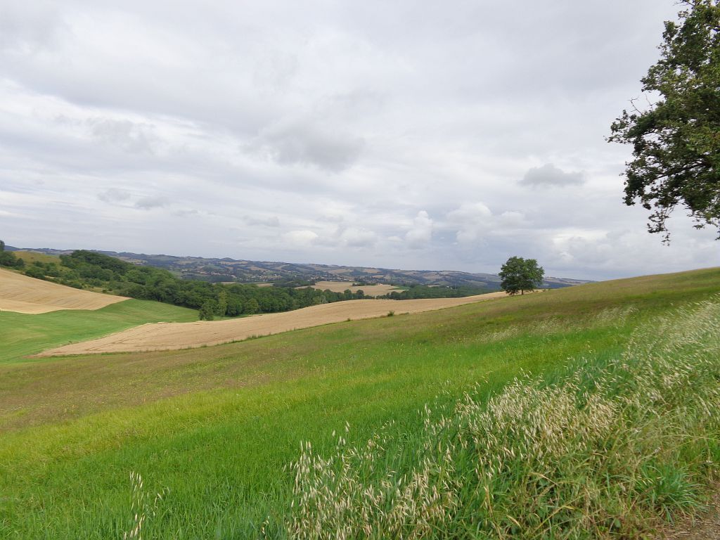
Cross the D238, climb the dirt road. Turn left at the top of the hill. The ridge path offers one of the finest views over the countryside and the Pyrenees mountain range.
Following the red route no. 2 marking, you arrive at Higues wood which you cross. Climb to Gruos (magnificent viewpoint).
Descend onto the D 129, cross the Riou Perrin (small stream).
Continue on the Embayle and Rajogats path (important paleontological site) to arrive at the Loriot mill.
The last descent, very beautiful but very fast "du coucassé", will take you back to the stadium.
Before leaving:
Ensure the bike is in perfect mechanical condition, including tires and brakes
Make sure the bike is properly adjusted to your body shape
Wearing a helmet is highly recommended
Wearing a reflective vest or brightly colored clothing is highly recommended
Take repair tools with you
Make sure your smartphone battery is fully charged
Remember that the traffic code applies to cyclists in all circumstances
Never ride more than two abreast and move into a single file when traffic conditions require
Respect other road users as you would like to be respected
Choose a route suited to your physical abilities
Inform those around you of your itinerary
Check the weather conditions
A first aid kit is not essential but can be very useful
Find out and keep emergency phone numbers.
Respect the environment by not littering food wrappers on the roadside
If you have to return at nightfall, make sure you can see and be seen
Access to Simorre by car via RD12
Free parking on site
Priljubljeni izleti v okolici
-
Artistic Itinerary (e-bike): "Lines of Escape". Perspectives between Save and Gimone
težkoKolesarjenje 53.2 km -
Discovery of the Gimone hills by electric bike
srednjaKolesarjenje 35.2 km -
The Poutches of the Arrats and the Gimone by mountain bike
srednjaMountainbike 41.2 km -
At the Maquis de Meilhan by electric bike
srednjaKolesarjenje 16.9 km -
Gimont - Villages et collines.
srednjaKolesarjenje 17.4 km -
Vélo Pour Tous à Simorre
svetlobaKolesarjenje 10.5 km -
Between lake and abbey - E-bike
srednjaKolesarjenje 18.0 km -
De la Gimone à la Lauze en VTT
srednjaMountainbike 24.5 km -
Simorre - Orchid Circuit
svetlobaMountainbike 10.9 km -
Saramon - Passing through Saint-Elix
svetlobaMountainbike 11.0 km
Pohodništvo in sledenje


Ne zamudite ponudb in navdiha za naslednje počitnice
Vaš e-poštni naslov je bil dodan na poštni seznam.