


Rotstein circular route


Fotografije naših uporabnikov
-
 © silkerschiUstvarjeno na 10.05.2025
 -
 © silkerschiUstvarjeno na 10.05.2025
 -
 © silkerschiUstvarjeno na 10.05.2025
 -
 © silkerschiUstvarjeno na 10.05.2025
 -
 © silkerschiUstvarjeno na 10.05.2025
 -
 © silkerschiUstvarjeno na 10.05.2025
 -

 © Christian PrillerUstvarjeno na 03.05.2025
 -
 © Christian PrillerUstvarjeno na 03.05.2025
 -
 © Christian PrillerUstvarjeno na 03.05.2025
 -
 © Christian PrillerUstvarjeno na 03.05.2025
 -
 © Christian PrillerUstvarjeno na 03.05.2025
 -
 © Christian PrillerUstvarjeno na 03.05.2025
 -
 © Christian PrillerUstvarjeno na 03.05.2025
 -
 © Babs HolzUstvarjeno na 08.04.2025
 -
 © Babs HolzUstvarjeno na 08.04.2025
 -
 © Babs HolzUstvarjeno na 08.04.2025
 -
 © Babs HolzUstvarjeno na 08.04.2025
 -
 © Babs HolzUstvarjeno na 08.04.2025
 -
 © Babs HolzUstvarjeno na 08.04.2025

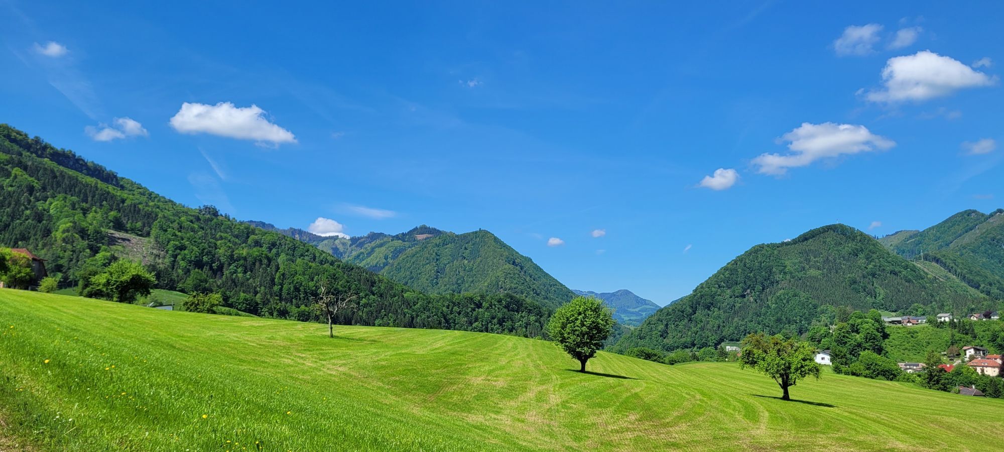


At the train station, the Almkogel hiking trail No. 492 passes by the Kronstein farm, along a forest road to a saddle, over a raised bog to the Brennhöhe, and steeply uphill to the Rotstein. For the return,...
At the train station, the Almkogel hiking trail No. 492 passes by the Kronstein farm, along a forest road to a saddle, over a raised bog to the Brennhöhe, and steeply uphill to the Rotstein. For the return, it goes over the Lumplgraben back to the starting point.
Hiking trail: E43

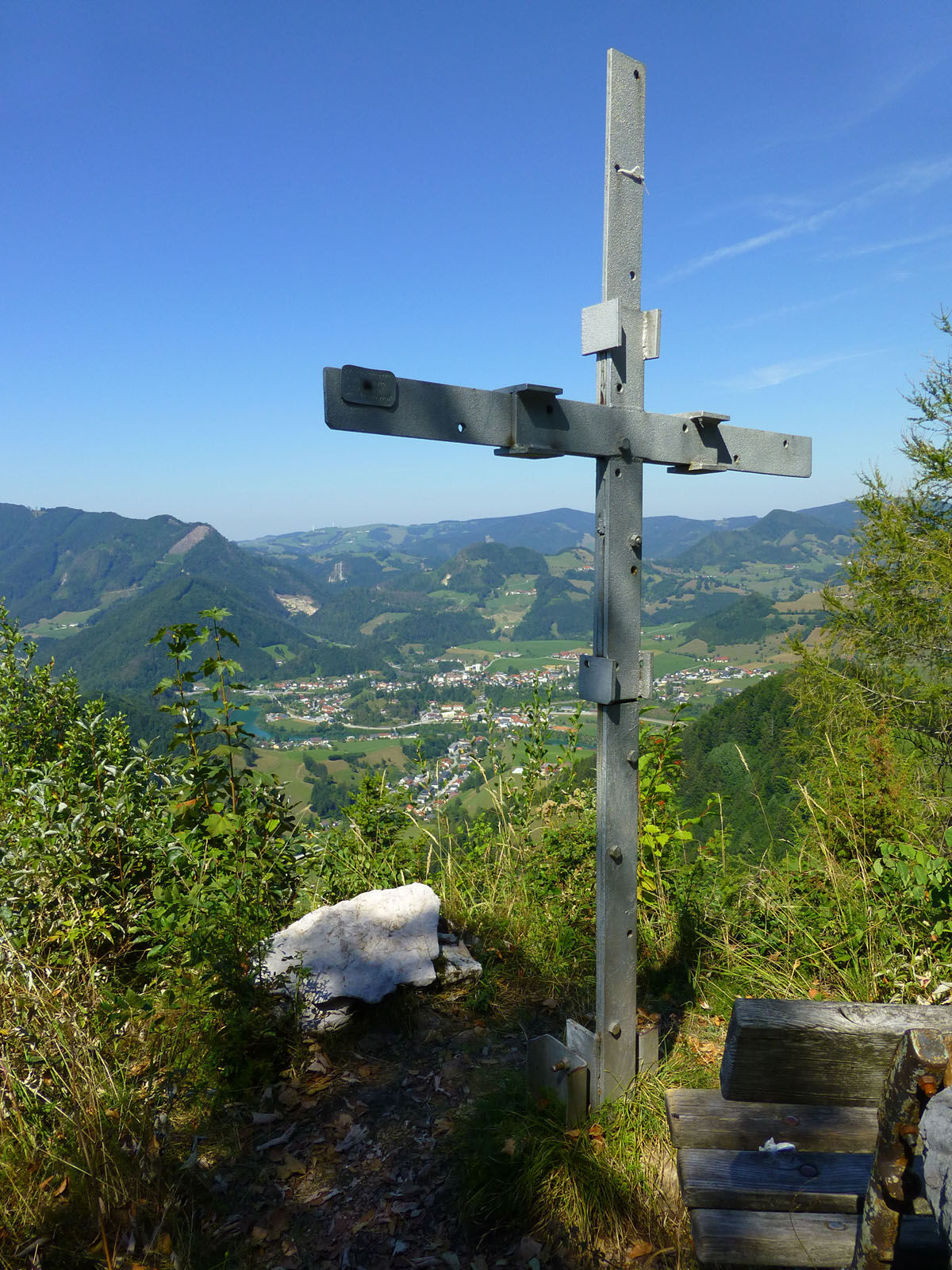
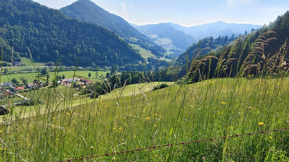
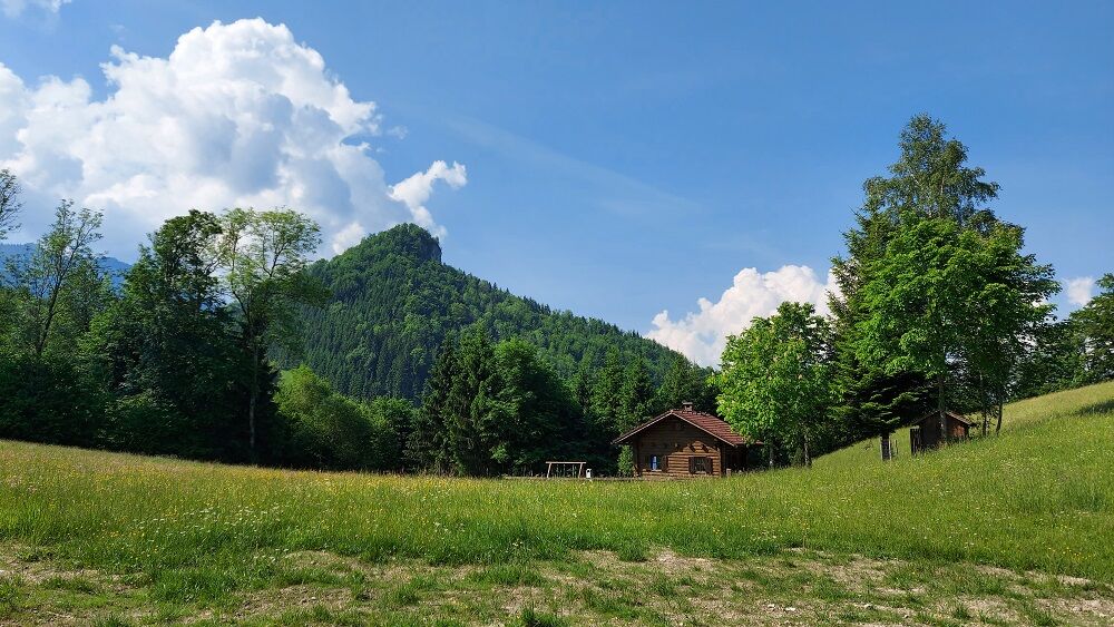

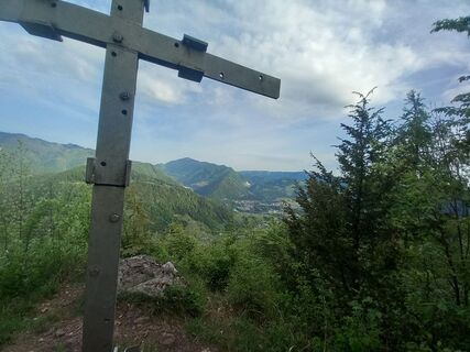
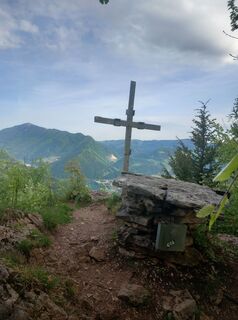
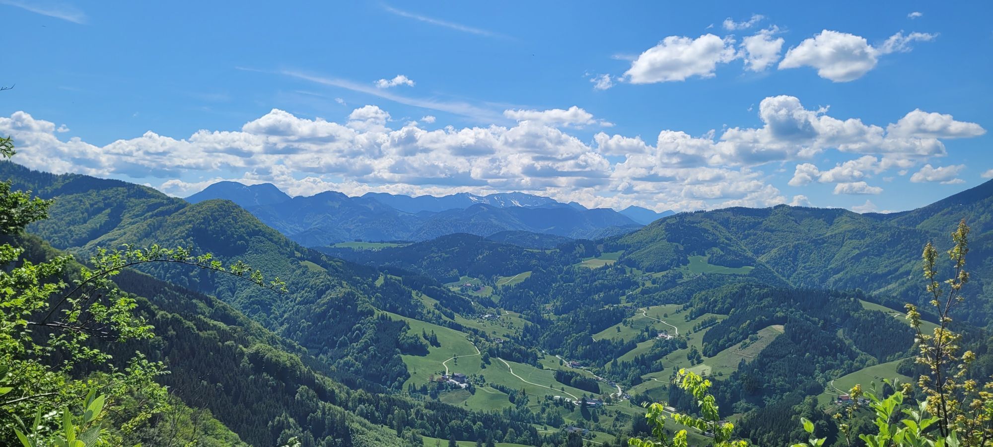
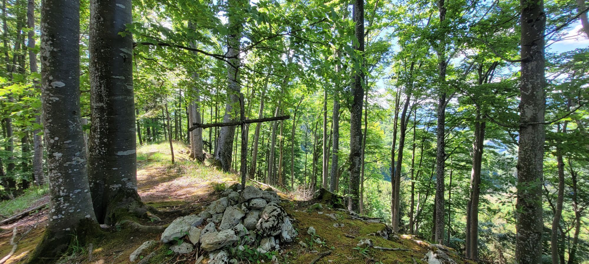
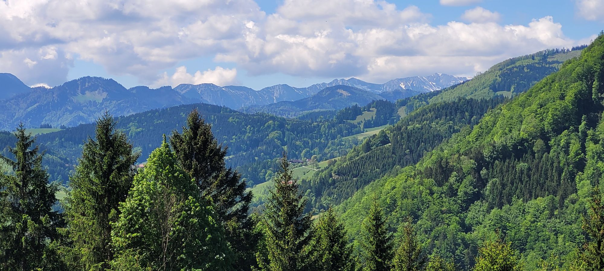
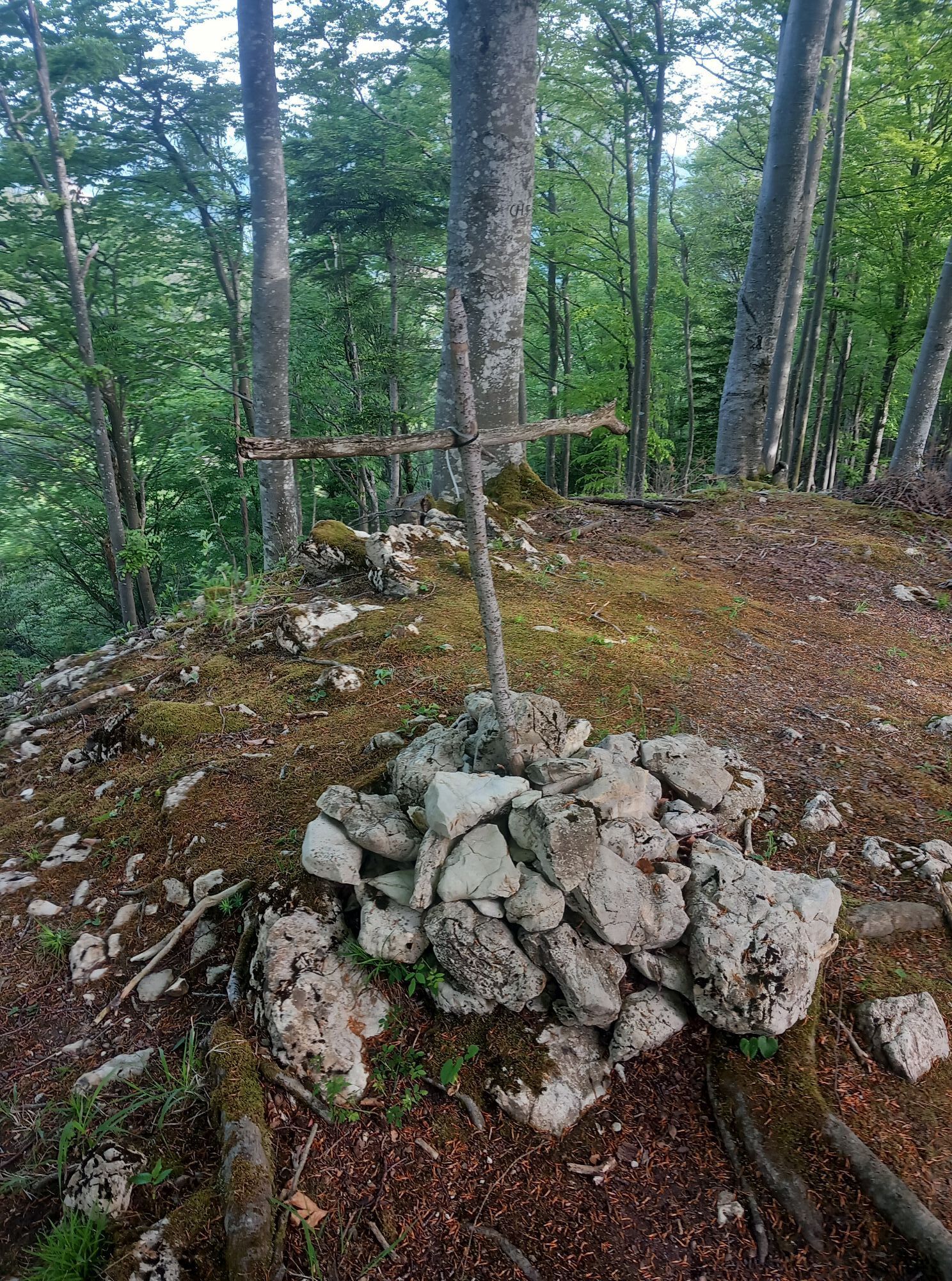
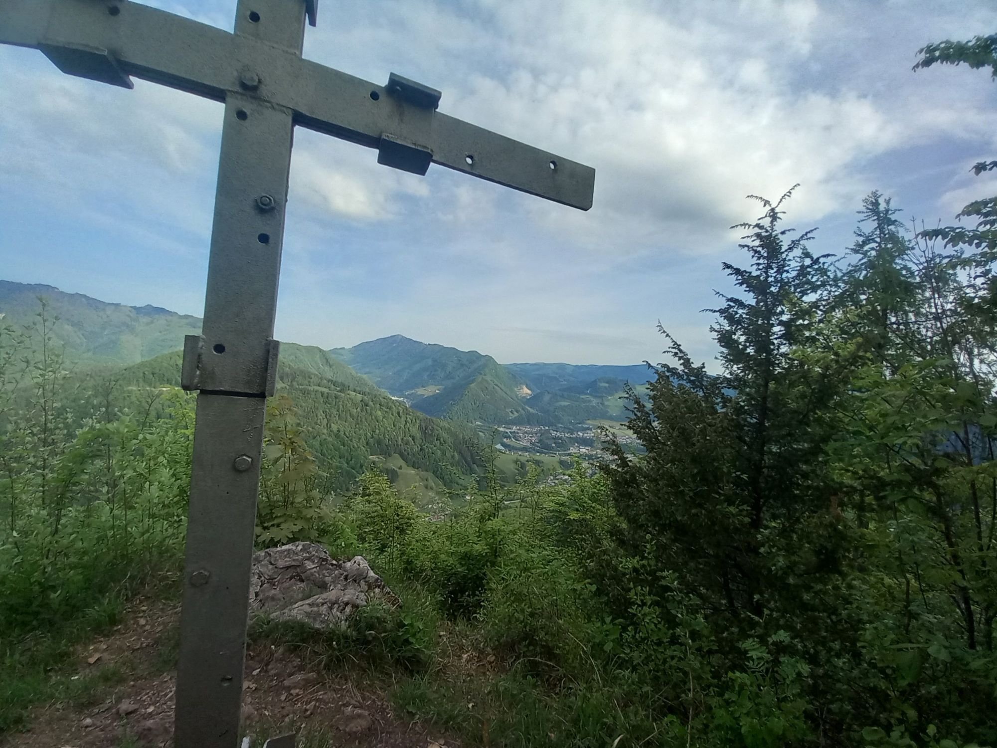
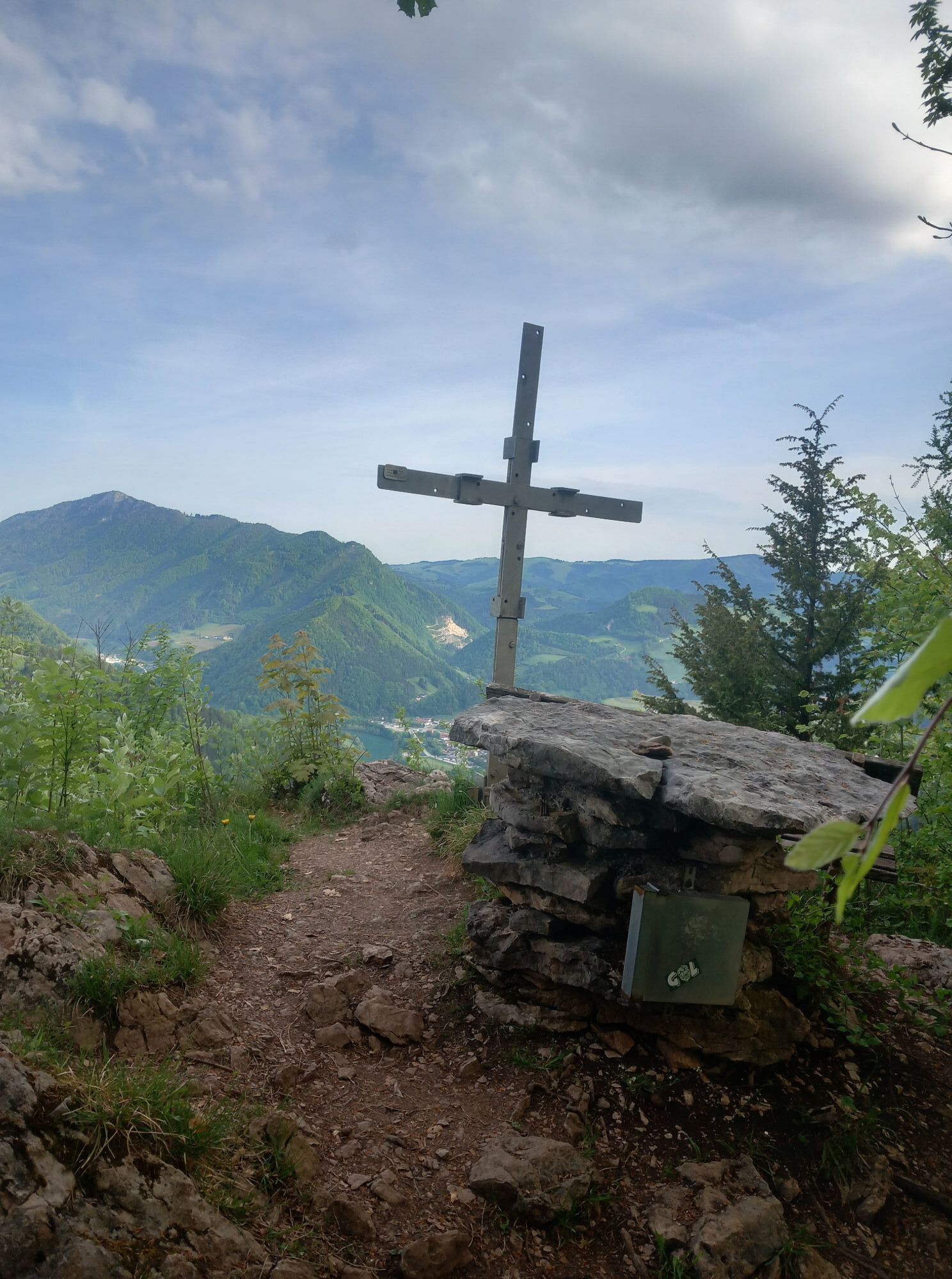
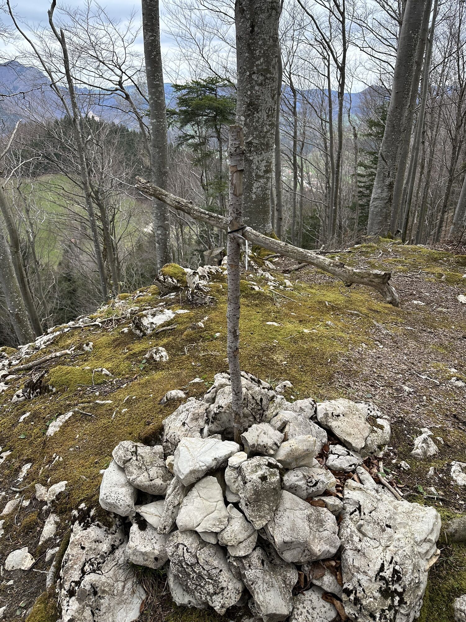
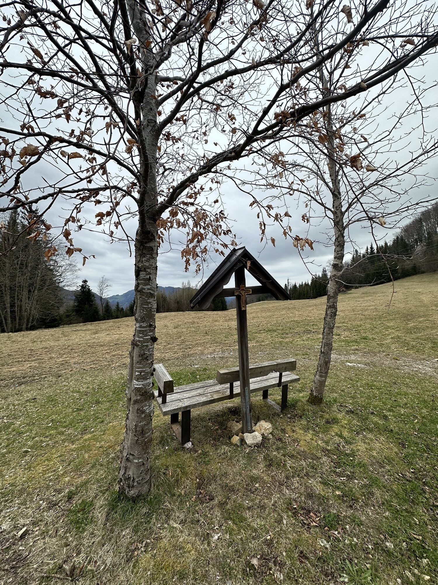
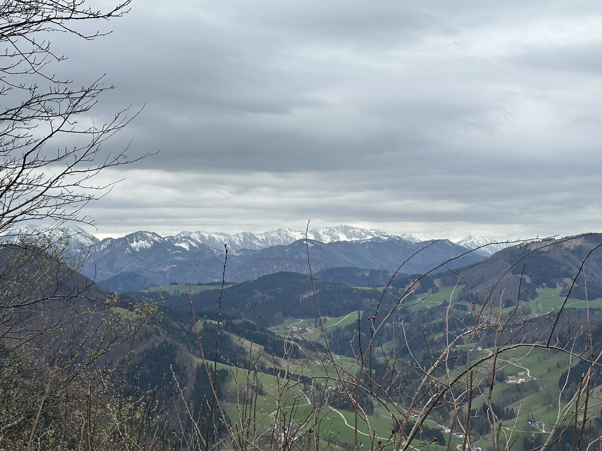
This hiking trail starts at the train station and follows the Almkogel hiking trail No. 492 past the Kronstein farm, along a forest road to a saddle. It continues over a raised bog to the Brennhöhe. There you have the option to shorten this hike towards the (former) "Pension Stangl" or to conquer the summit of the "Rotstein." After 100 m, it goes steeply uphill to the right after a gate. A wonderful view over Großraming and into the rear mountains rewards this ascent. On the front side of the Rotstein, we walk down to Pension Stangl and back to the train station.
Da
Da
From Salzburg/Linz: A1 motorway exit Enns-Steyr > B115 into the Enns Valley
From Vienna: A1 motorway exit Haag > B42 > B122 > B115 into the Enns Valley
From Passau: A8 Passau > Wels > A1 motorway exit Enns-Steyr > B115 into the Enns Valley
From Graz: A9 Pyhrnautobahn > motorway exit Klaus > Grünburg > into the Ennstal Valley
The Ennstalbahn runs between Linz and Weißenbach-St. Gallen.
Details at www.ooevv.at
Railway Stations are located in Steyr, Garsten, Lahrndorf, Dürnbach, Ternberg, Trattenbach, Losenstein, Reichraming, Großraming, Gaflenz, Weyer, Küpfern, Kastenreith, Kleinreifling and Weißenbach-St. Gallen.
Großraming/parking at the train station
Climate-friendly to the National Park region - Großraming train station: By train, you are at the starting point for this hike in about 2 hours from Linz and about 2.5 hours from Vienna.
Priljubljeni izleti v okolici
-
4.7
Steinerner Jäger (1185m) und Schieferstein (1206m) ab Parkplatz Hochhabichler
srednjaPohodništvo 4.46 km -
4.8
Ennser Hut - Almkogel (from Bamacher car park)
srednjaPohodništvo 3.53 km -
4.7
GROSSRAMING Bamacher, Burgspitz, Almkogel, Ennshütte 20240730
srednjaPohodništvo 10 km -
4.1
Sonnkogel (1177m) und Hohe Dirn (1134m) ab Parkplatz Hohe Dirn
srednjaPohodništvo 7.71 km -
3.8
Ebenforstalm Rundtour
svetlobaMountainbike 44.6 km -
4.7
Steinerner Jäger (1185m) und Schieferstein (1206m) ab Parkplatz Hack
težkoPohodništvo 8.58 km -
4.0
Schieferstein und Steinerner Jäger von Reichraming, Oberösterreich
srednjaPohodništvo 3.82 km -
4.0
Ennser Hütte, Stallburgalm, Burgspitz, Almkogel
srednjaPohodništvo 11.6 km -
3.8
Lindaumauer (1103 m)
Pohodništvo 3.40 km -
4.6
Burgspitz, Almkogel, Wieser, Langlackenmauer und zurück
srednjaPohodništvo 13.5 km
Pohodništvo in sledenje


Ne zamudite ponudb in navdiha za naslednje počitnice
Vaš e-poštni naslov je bil dodan na poštni seznam.