


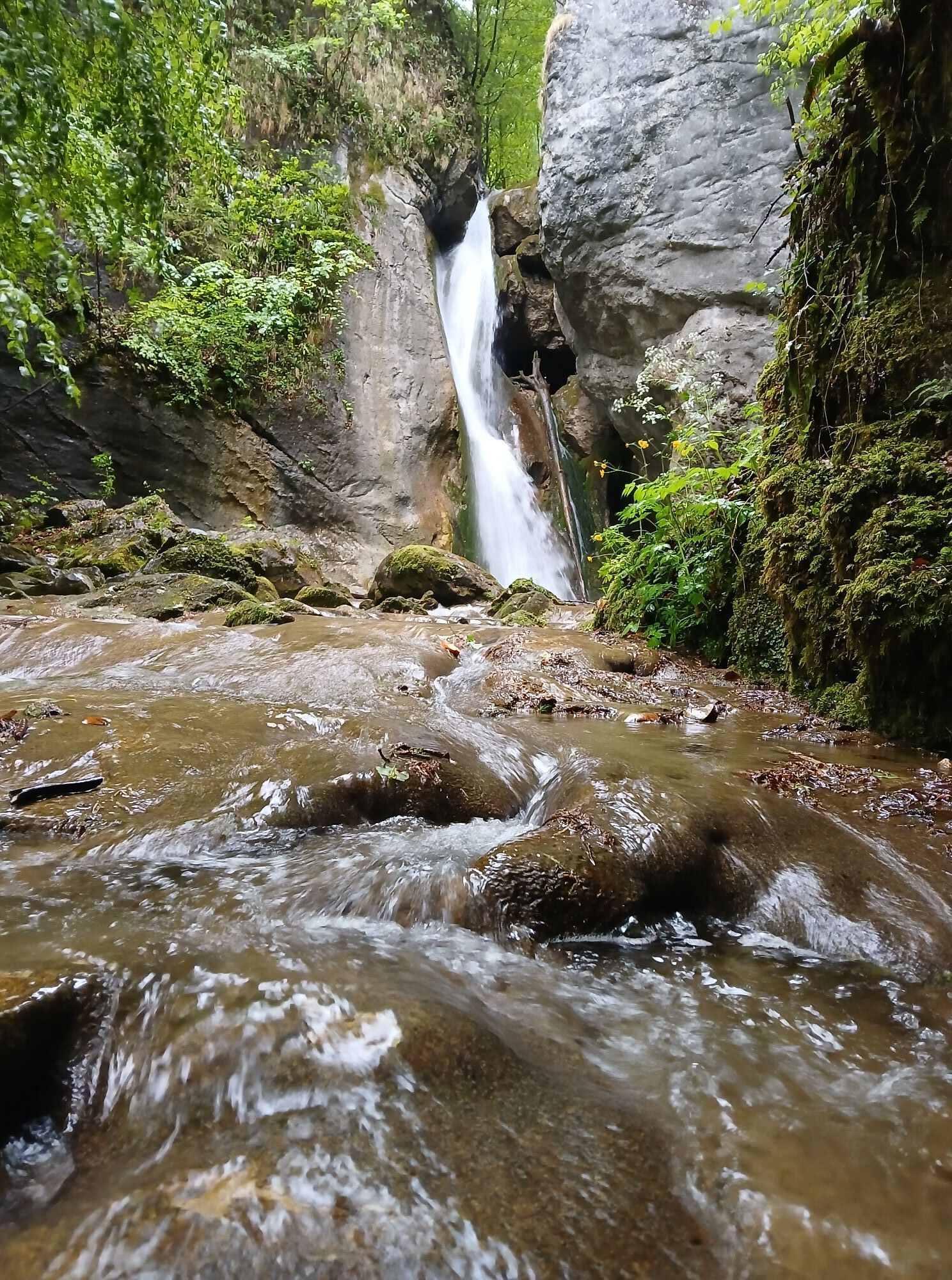
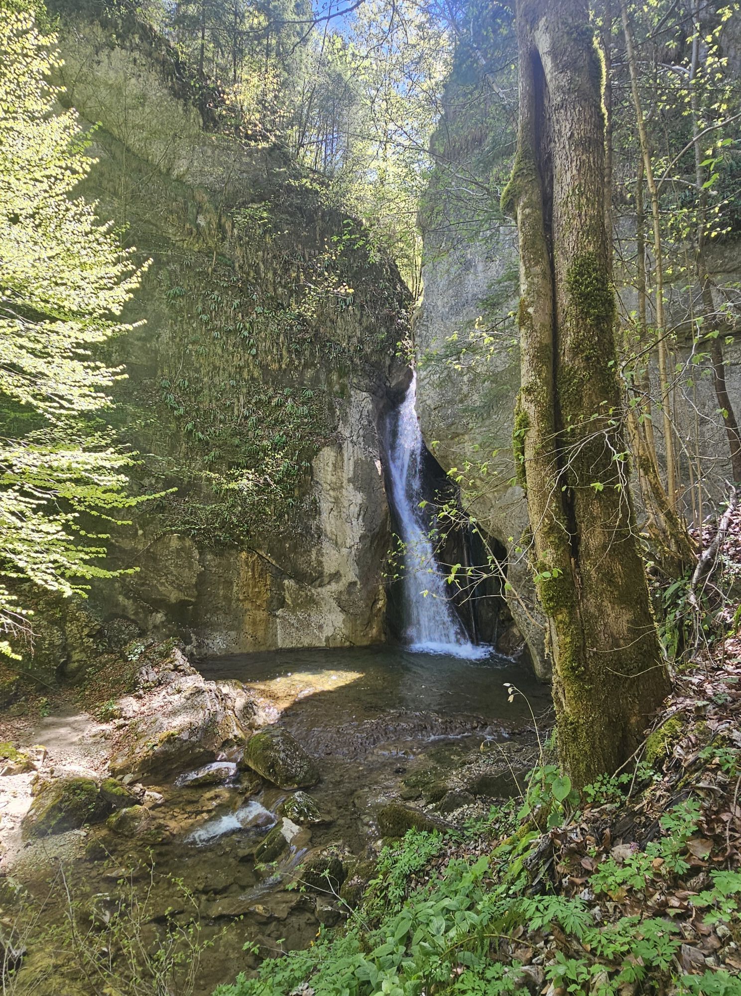
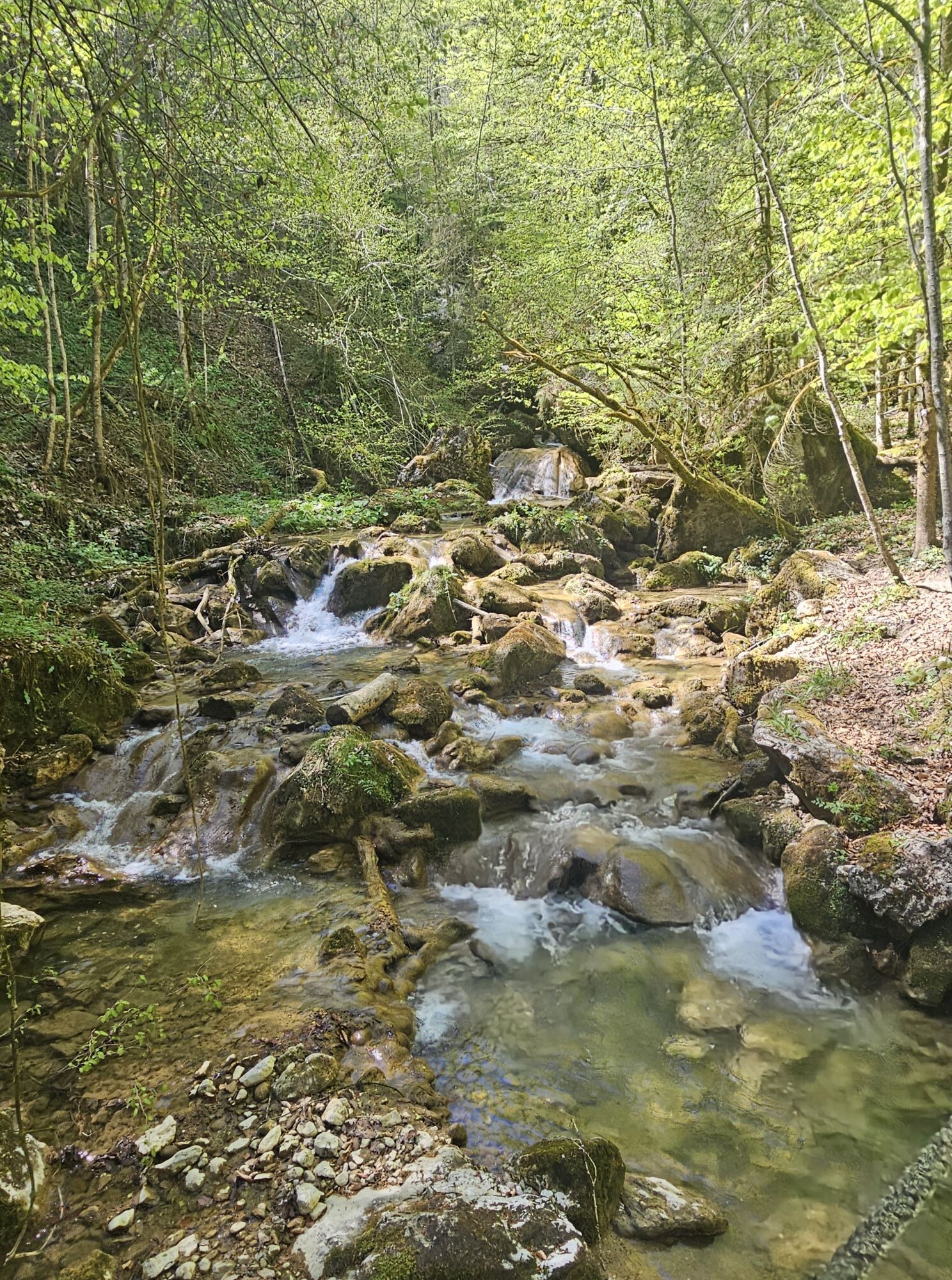
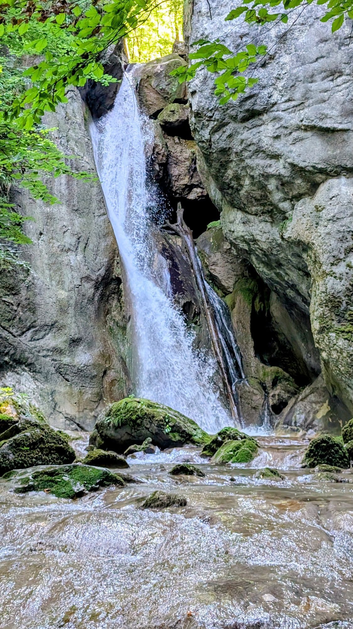
Rinnerberger Waterfall - Gorge


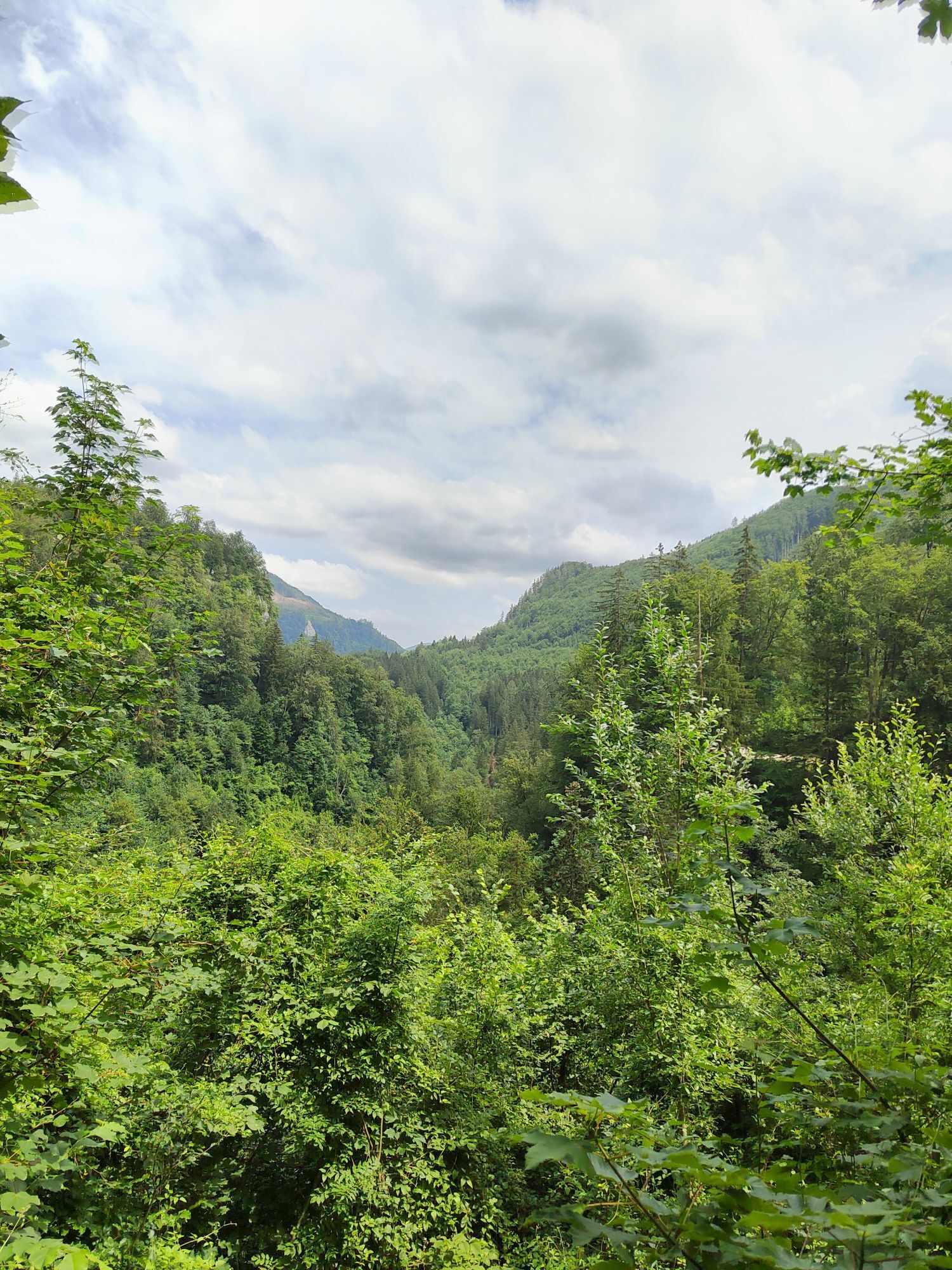


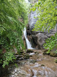
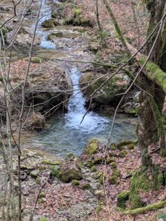
Starting from the former inn Waldklause in Pernzell, go about 250 meters uphill and then turn left onto the marked hiking path, crossing a boardwalk and along a path to the roaring Rinnerberger Waterfall,...
Starting from the former inn Waldklause in Pernzell, go about 250 meters uphill and then turn left onto the marked hiking path, crossing a boardwalk and along a path to the roaring Rinnerberger Waterfall, over an iron ladder to the Rinnerberger Gorge. The circular route continues uphill to Hambaumsattel and via the high path and goods road Pernzell back to the starting point.
Hiking path: 25, 7

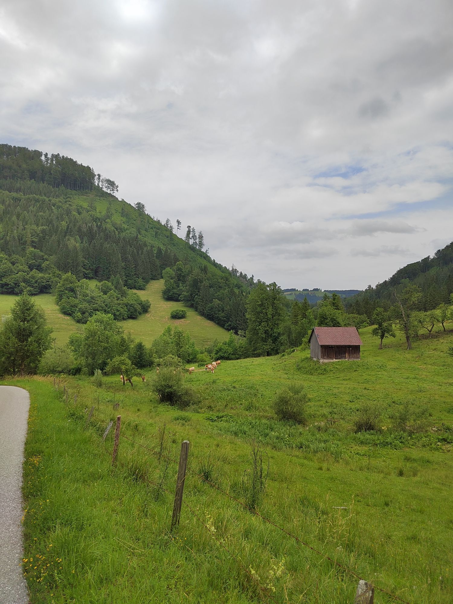
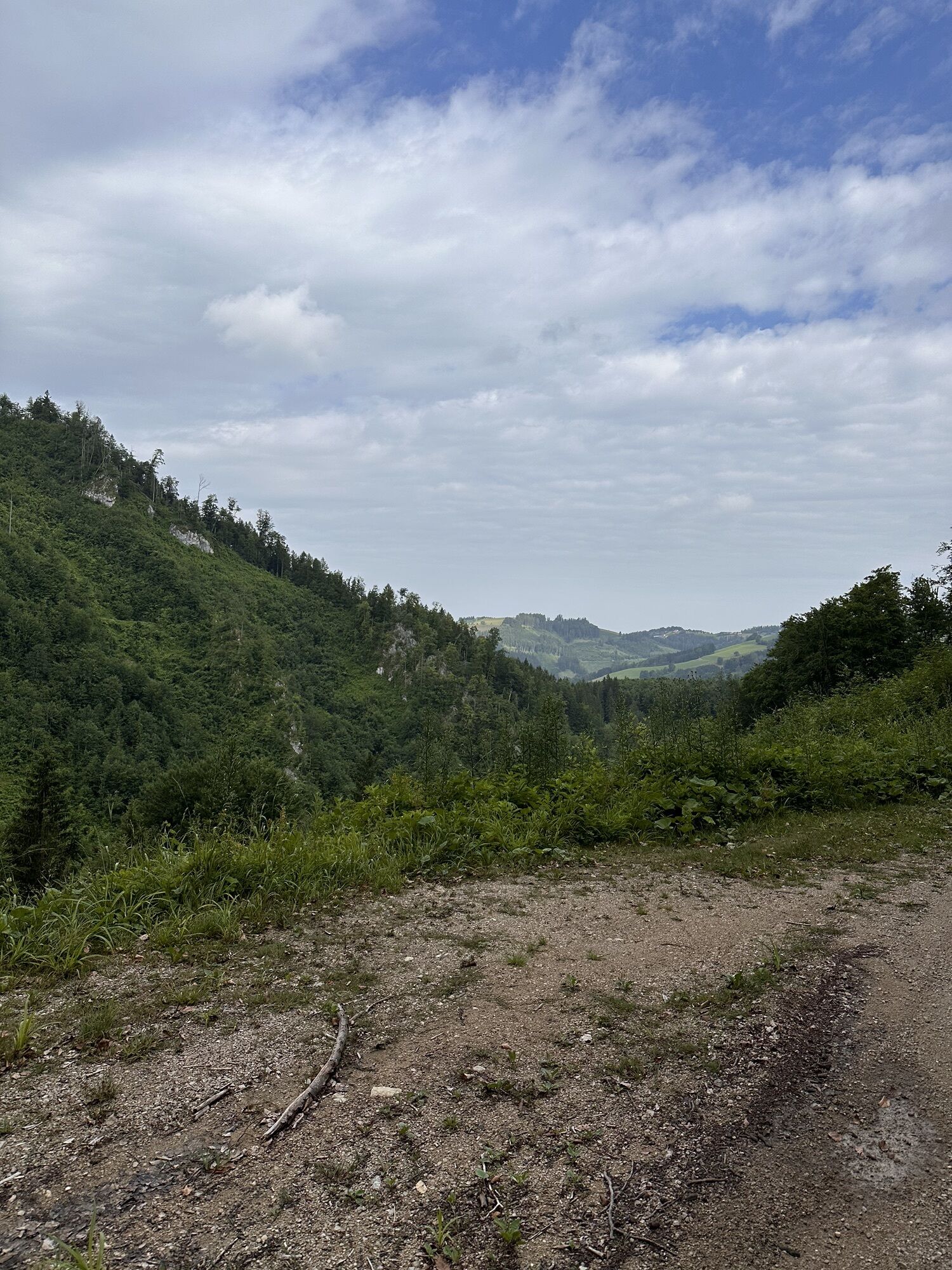
This romantic family route starts at the former inn Waldklause in Pernzell.
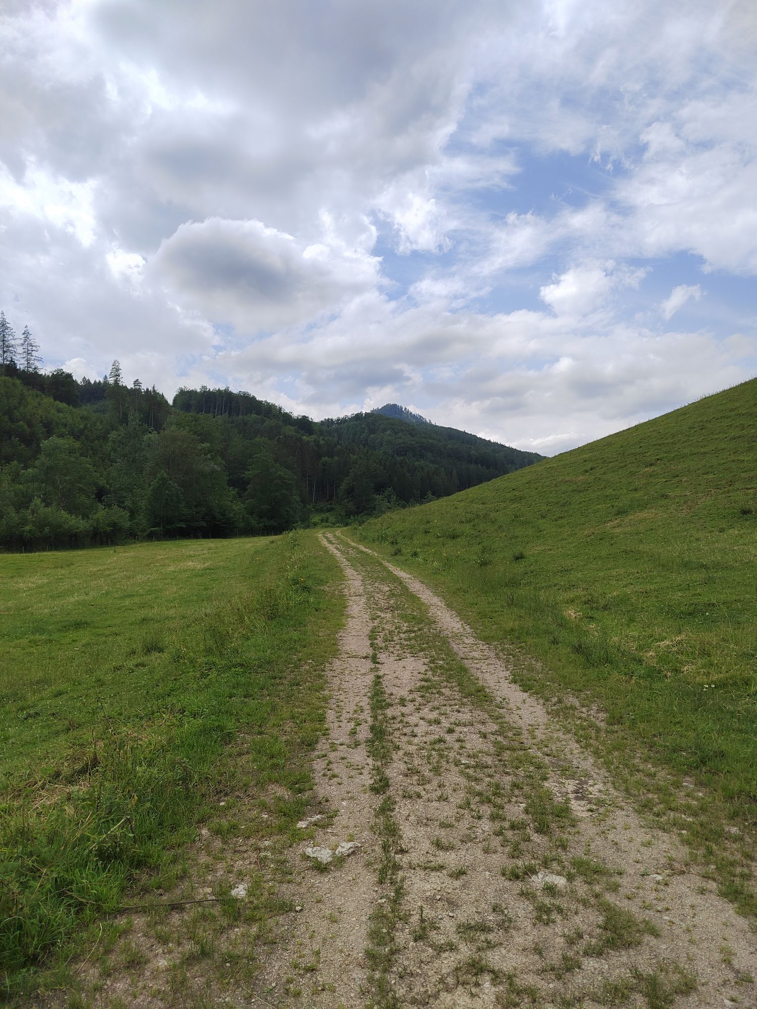
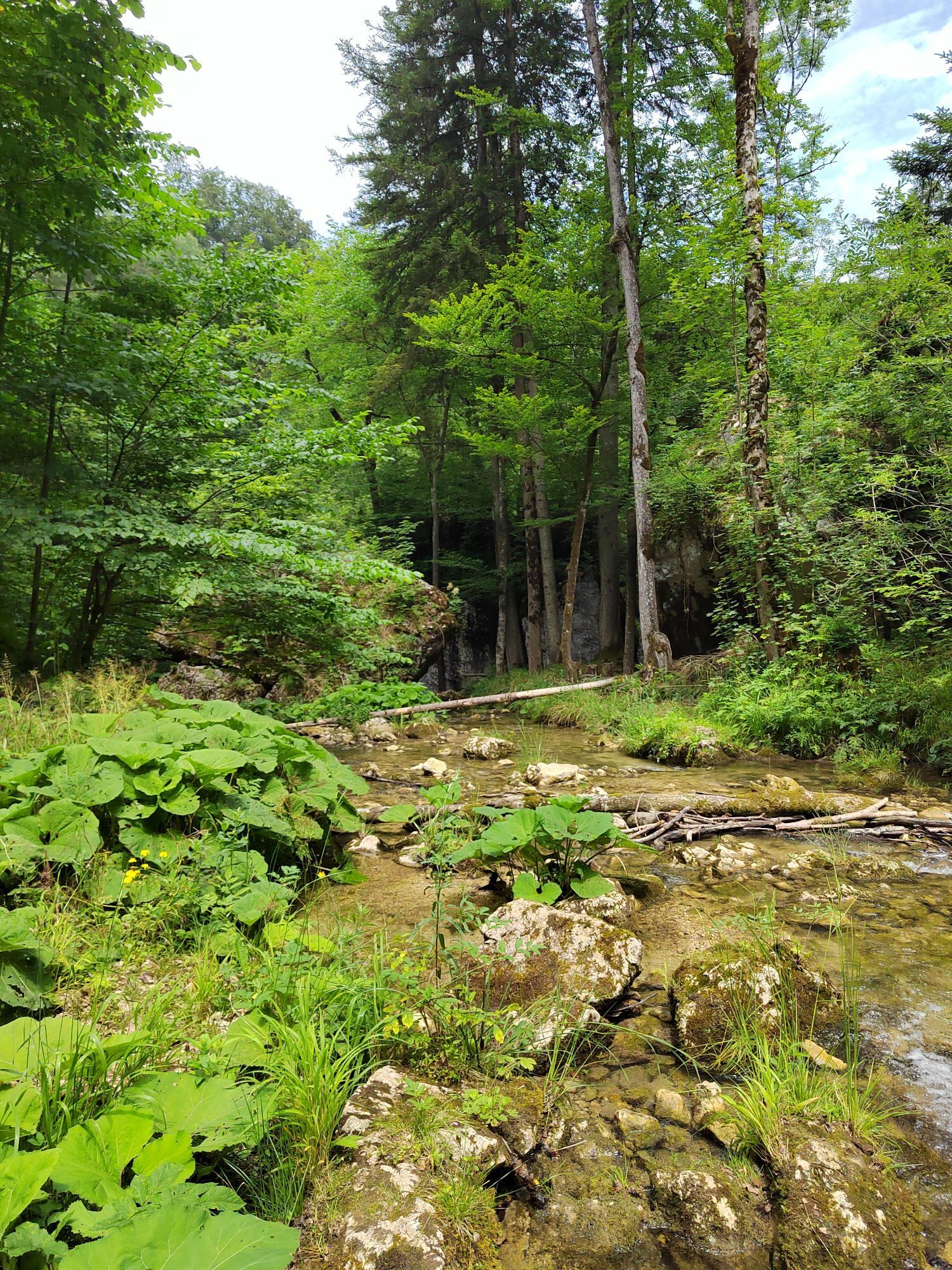
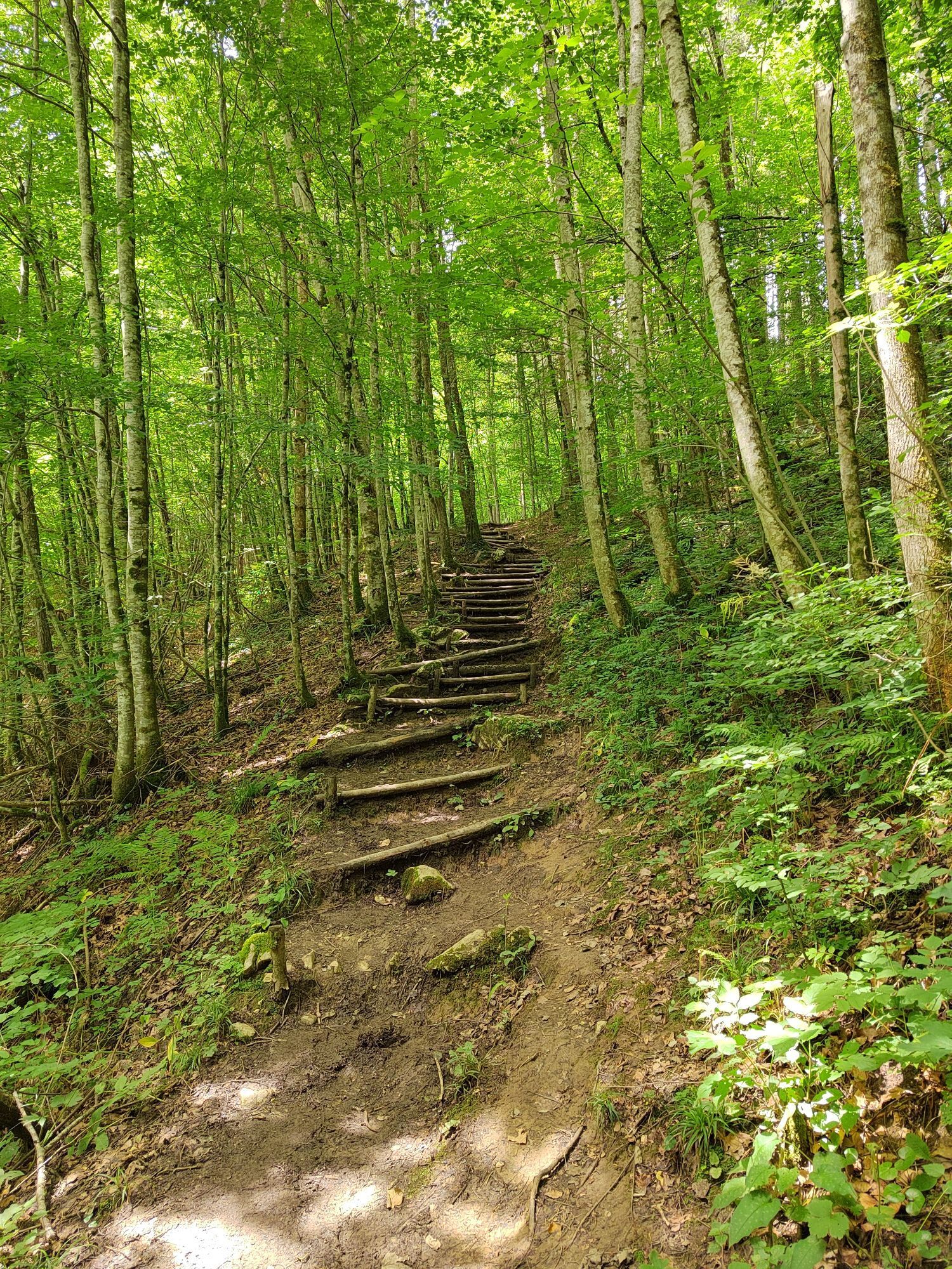
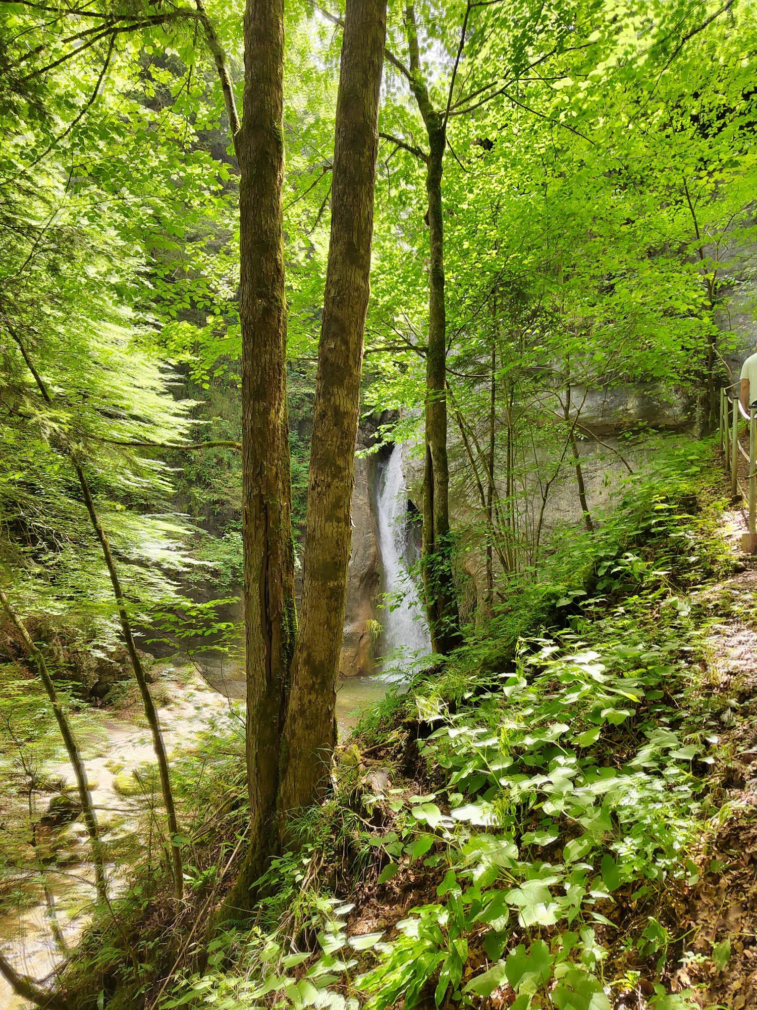
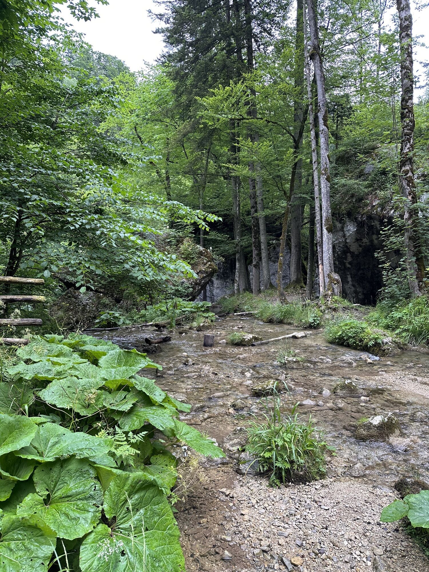
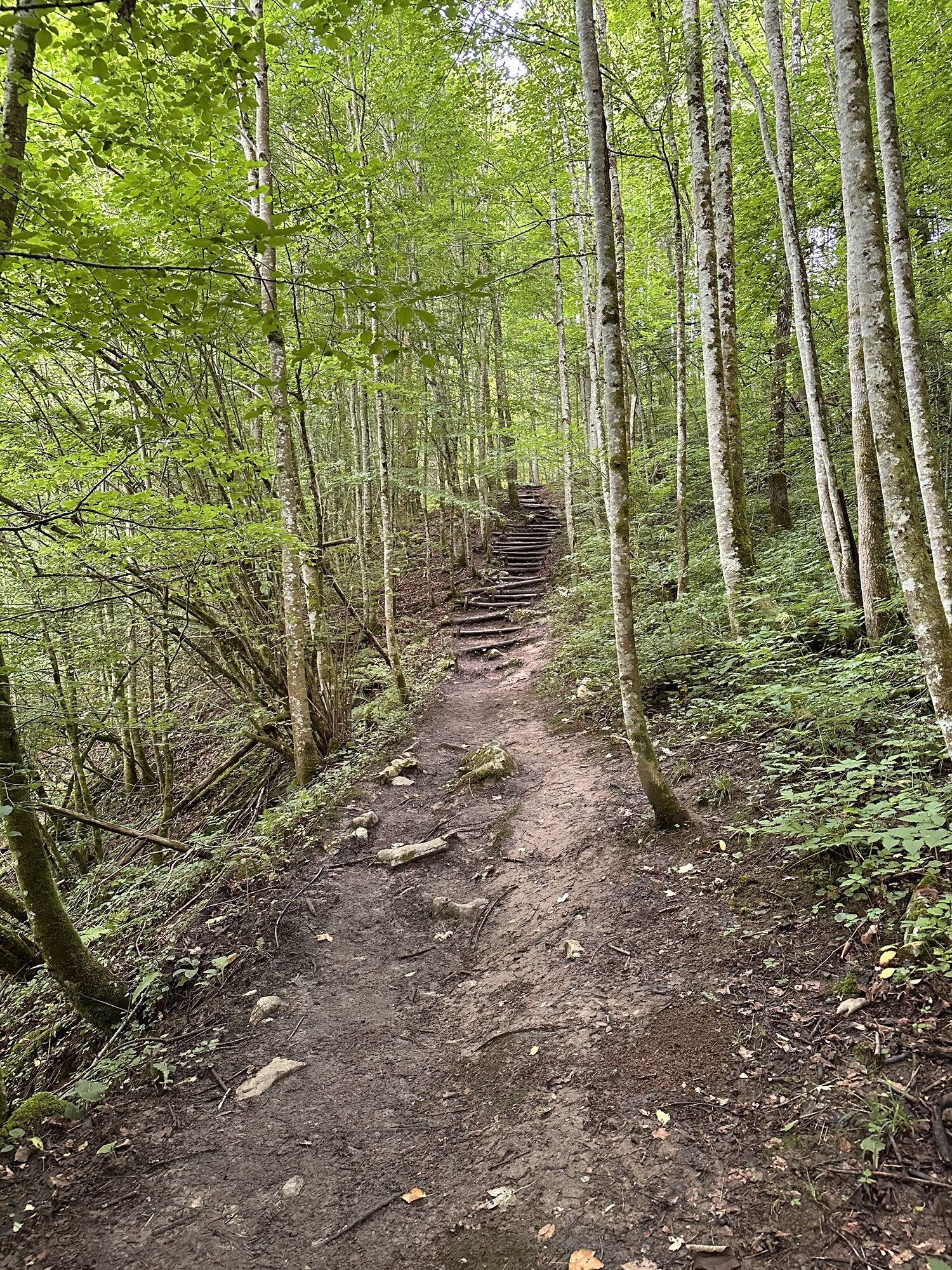
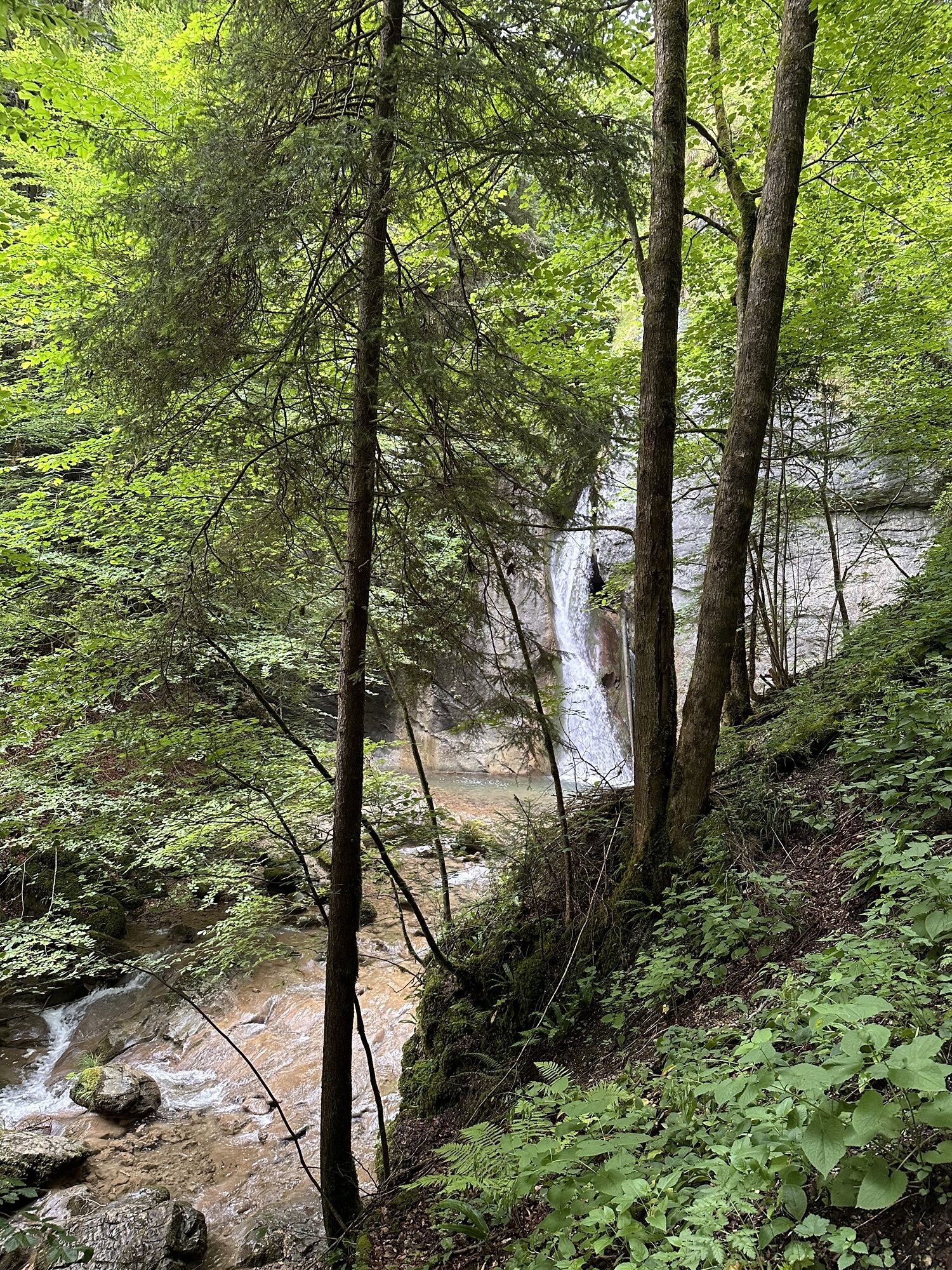
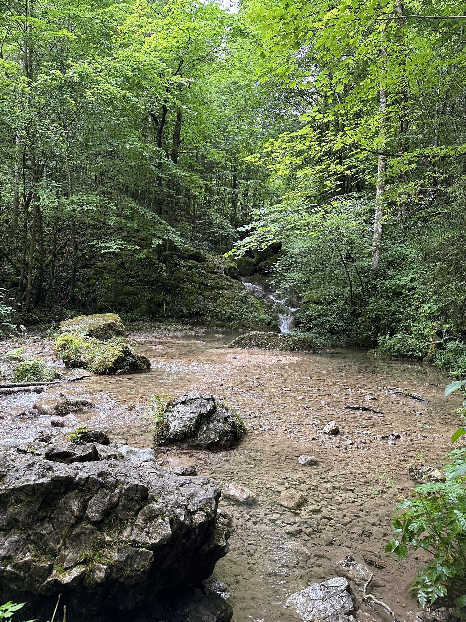
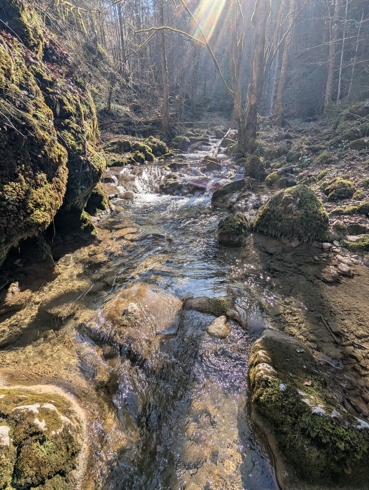
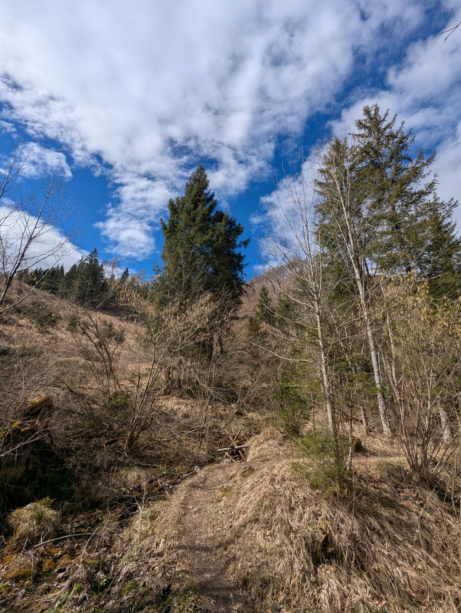
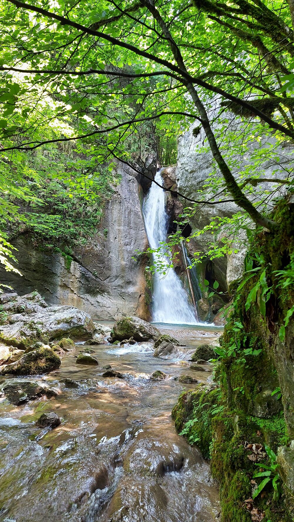
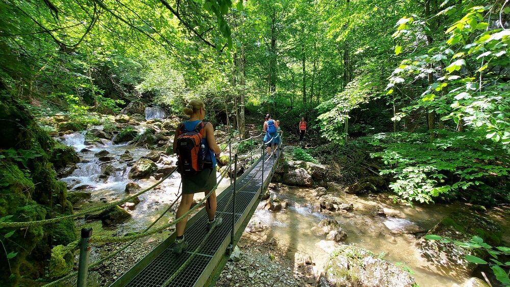
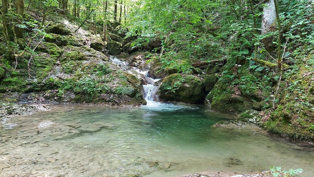
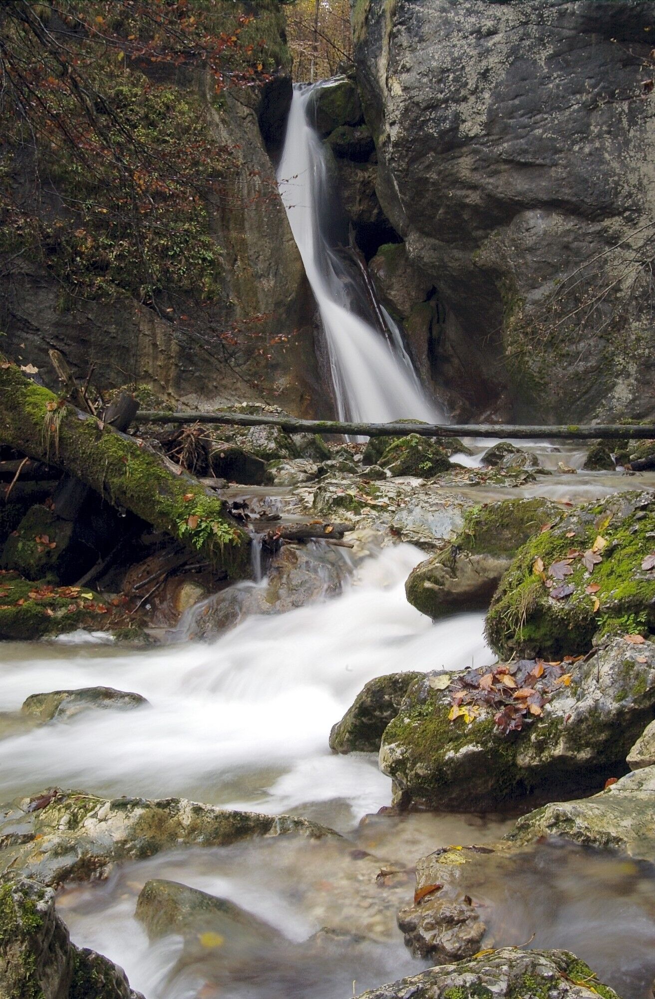
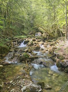
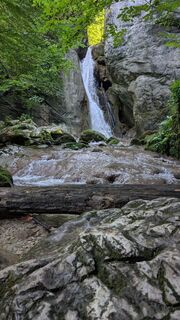
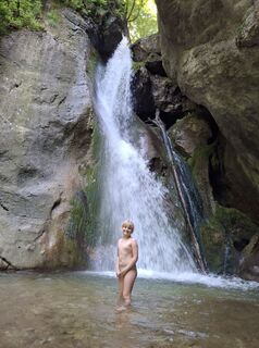
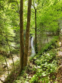
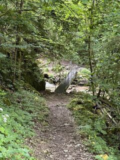
We follow path no. 25 about 250 meters uphill and turn left onto the marked hiking path. On a boardwalk, we cross the rushing stream and reach along a path the roaring "Rinnerberger" Waterfall. Then we climb an iron ladder into a quiet valley basin and thus reach the "Rinnerberger Gorge" - also a natural spectacle. Afterwards, we come to a forest road, cross the barbed wire and reach a barrier. Now we follow the road up to Hambaumsattel, continue to the Marterl bend, follow the high path no. 7 and then reach the goods road Pernzell and so after about 1 kilometer our starting point.
Da
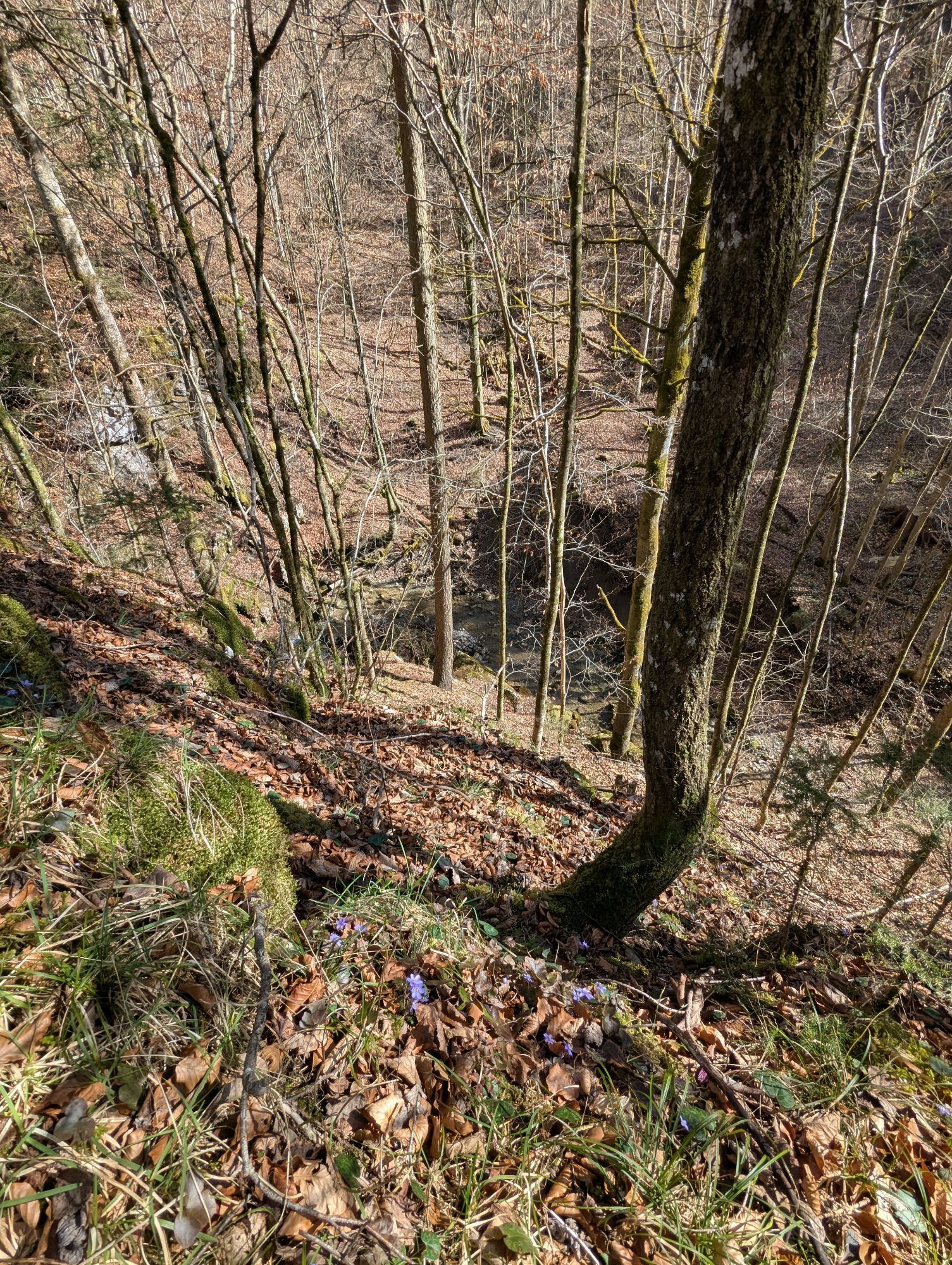
Since this gorge route leads over boardwalks and an iron ladder, it is especially recommended in good weather.
Be careful on autumn leaves!
From the east: A1 exit Haag > Steyr > B140 into the Steyr valley
From the north: A3 Passau > Wels > A9 exit Sattledt > Kremsmünster > Bad Hall > Steinbach
From the south: A9 exit Klaus > into the Steyr valley
Details at www.ooevv.at
With the Steyrtal Museum Railway www.steyrtalbahn.at
Grünburg/Leonstein - parking lot at the former Waldklause
Spletne kamere s turneje
Dejavnosti na poti

Grünburg, Oberösterreich/Österreich
31.05.2026 – Pohodništvo
Grünburg, Oberösterreich/Österreich
24.05.2026 – Pohodništvo
Grünburg, Oberösterreich/Österreich
14.05.2026 – Pohodništvo
Grünburg, Oberösterreich/Österreich
03.05.2026 – Pohodništvo
Grünburg, Oberösterreich/Österreich
25.04.2026 – PohodništvoGrünburg, Oberösterreich/Österreich
11.04.2026 – PohodništvoGrünburg, Oberösterreich/Österreich
04.04.2026 – PohodništvoMicheldorf in Oberösterreich, Oberösterreich/Österreich
19.03.2026 – PohodništvoGrünburg, Oberösterreich/Österreich
19.03.2026 – Pohodništvo
Grünburg, Oberösterreich/Österreich
24.08.2025 – Pohodništvo
Rinnerberger Wasserfall
19.06.2025 – Pohodništvo
W Rinnerberger Wasserfall 12.03.2025
12.03.2025 – Drugi
Rinnerberger Wasserfall
30.06.2024 – Pohodništvo
Grünburg Wandern
17.09.2023 – Drugi
Grünburg, Oberösterreich/Österreich
03.07.2023 – Pohodništvo
Priljubljeni izleti v okolici
- 4,7
Bergwanderung auf den Spering
srednjaPohodništvo 7,50 km - 4,7
Grünburger Hut via Dorngraben Molln
srednjaPohodništvo 3,43 km - 4,6
Schoberstein (from Molln)
srednjaPohodništvo 3,63 km - 4,6
Rinnende Mauer - Gorge Trail
srednjaPohodništvo 7,20 km - 4,6
Dürres Eck - Gaisberg - Hochbuchberg
srednjaPohodništvo 11,2 km - 4,6
Pfaffenmauer - Schoberstein - Gipfel der Lust Gasthof Klausriegler, Oberösterreich/Österreich
srednjaPohodništvo 9,72 km - 4,5
Ternberg -Schoberstein
srednjaPohodništvo 6,60 km - 4,4
Mittagstein und Hochsalm
srednjaPohodništvo 9,53 km - 4,4
Nackter Kalbling & Pfannstein & Rauher Kalbling
srednjaPohodništvo 12,0 km - 4,7
Kleiner und Großer Landsberg (3.7.2019) mit Sonnenuntergang
srednjaPohodništvo 3,51 km
Pohodništvo in sledenje


Ne zamudite ponudb in navdiha za naslednje počitnice
Vaš e-poštni naslov je bil dodan na poštni seznam.