


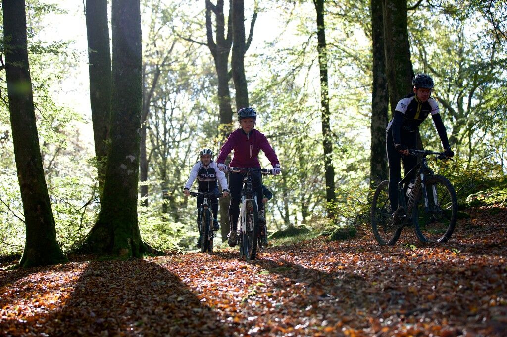
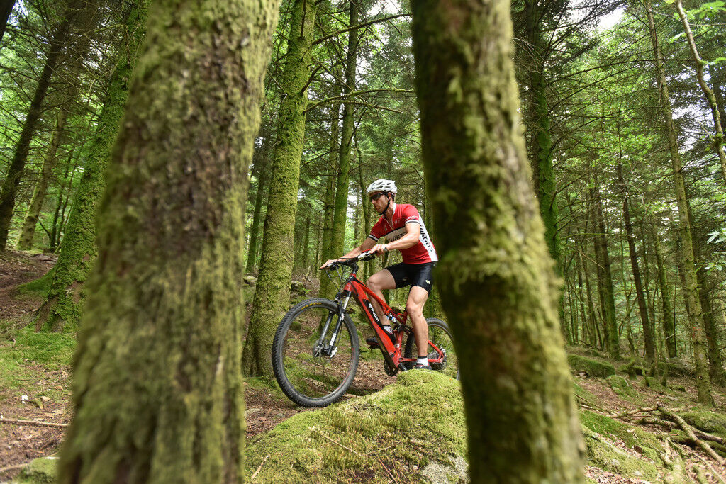
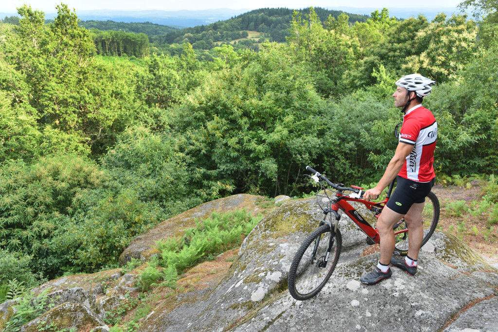
Mountain biking route no. 3 - Labrot
A quiet 10 km route that will bring you back to Mainsat by following the GR46. Descent on a wide track after the Mont pond before returning to the starting point. This mountain biking route passes notably...
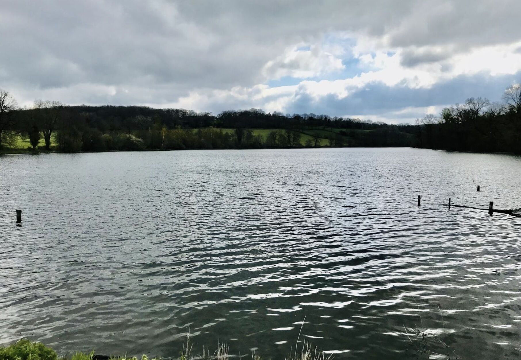
A quiet 10 km route that will bring you back to Mainsat by following the GR46. Descent on a wide track after the Mont pond before returning to the starting point. This mountain biking route passes notably by the Château de Mainsat and the Moulin du Mont.

Signage throughout the route.
Da
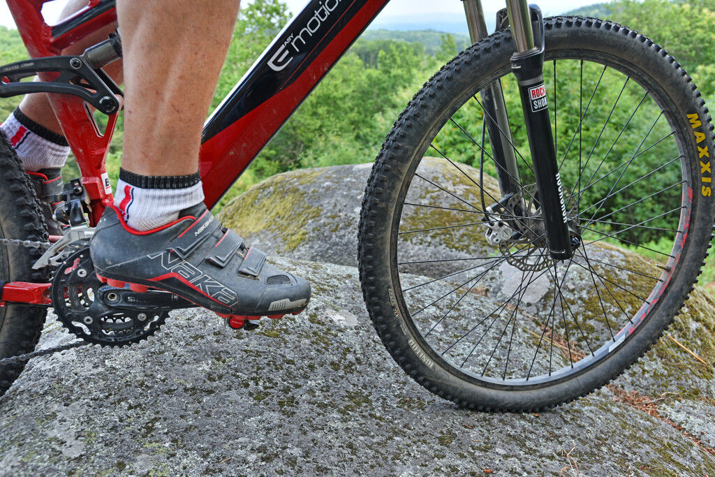
Make sure you are well equipped and wear a helmet
In case of emergencies, contact 112.
Consider carpooling.
Parking near the starting point.
To learn more about this destination, visit the Creuse Tourisme website.
A track with a fairly gentle elevation.
Priljubljeni izleti v okolici
-
Route No. 6 - Bussière-Nouvelle
srednjaMountainbike 23.2 km -
Mountain bike route no. 4 - Chaumont
srednjaMountainbike 13.8 km -
L'étang des Landes
svetlobaPohodništvo 7.07 km -
MTB Route No. 8 - Sannat
težkoMountainbike 45.1 km -
Mountain bike route No. 2 - Soubrebost
svetlobaMountainbike 6.73 km -
VTT route No. 10 - Évaux-les-Bains
težkoMountainbike 58.8 km -
VTT route no. 7 - Arfeuille
težkoMountainbike 29.8 km -
Mountain bike route no. 1 - La Chirade
svetlobaMountainbike 6.07 km -
Creuse route / East section: Royère de Vassivière > Boussac
srednjaKolesarjenje na dolge razdalje 126.6 km -
The pond loop
svetlobaPohodništvo 2.74 km

Pohodništvo in sledenje


Ne zamudite ponudb in navdiha za naslednje počitnice
Vaš e-poštni naslov je bil dodan na poštni seznam.