







Ebbekamm trail
Stopnja težavnosti: 3
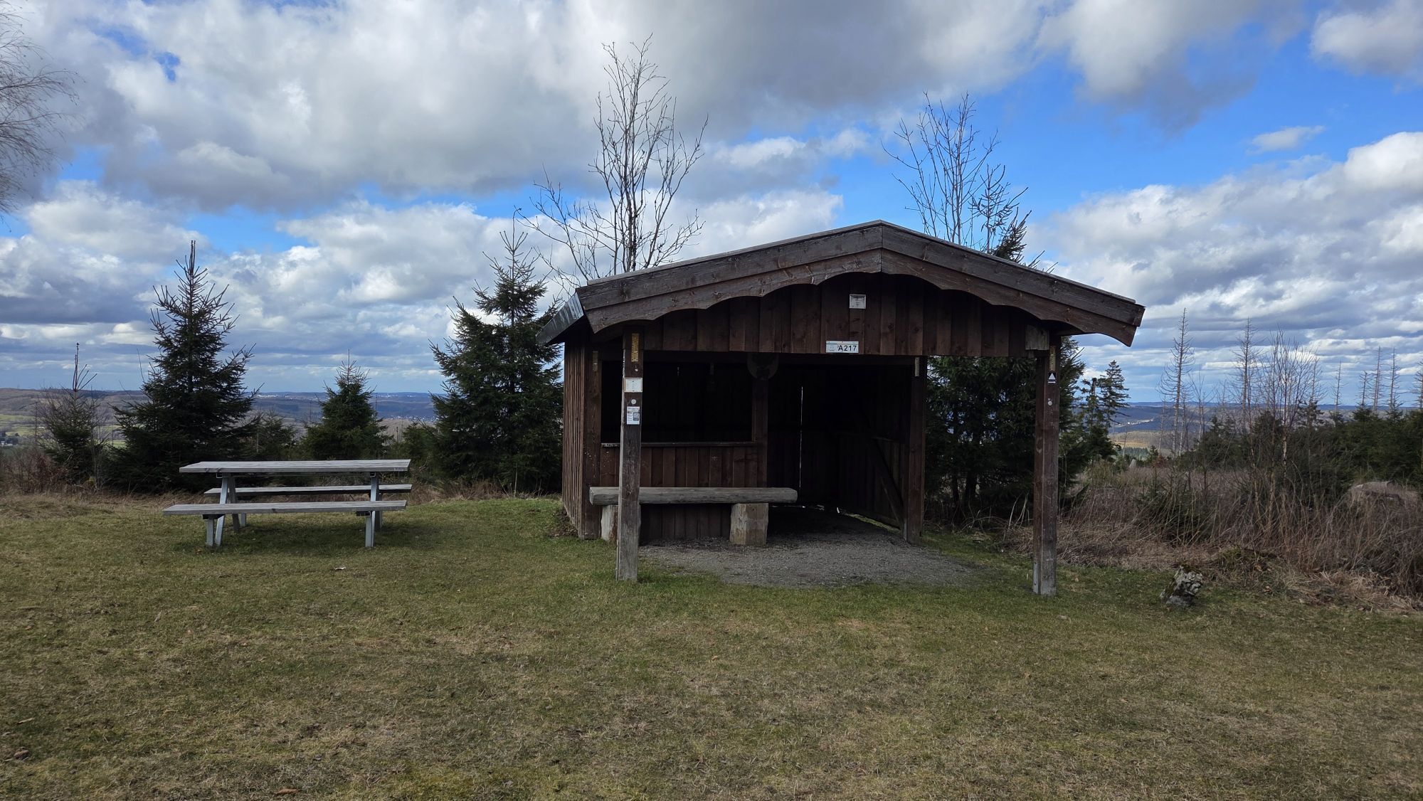
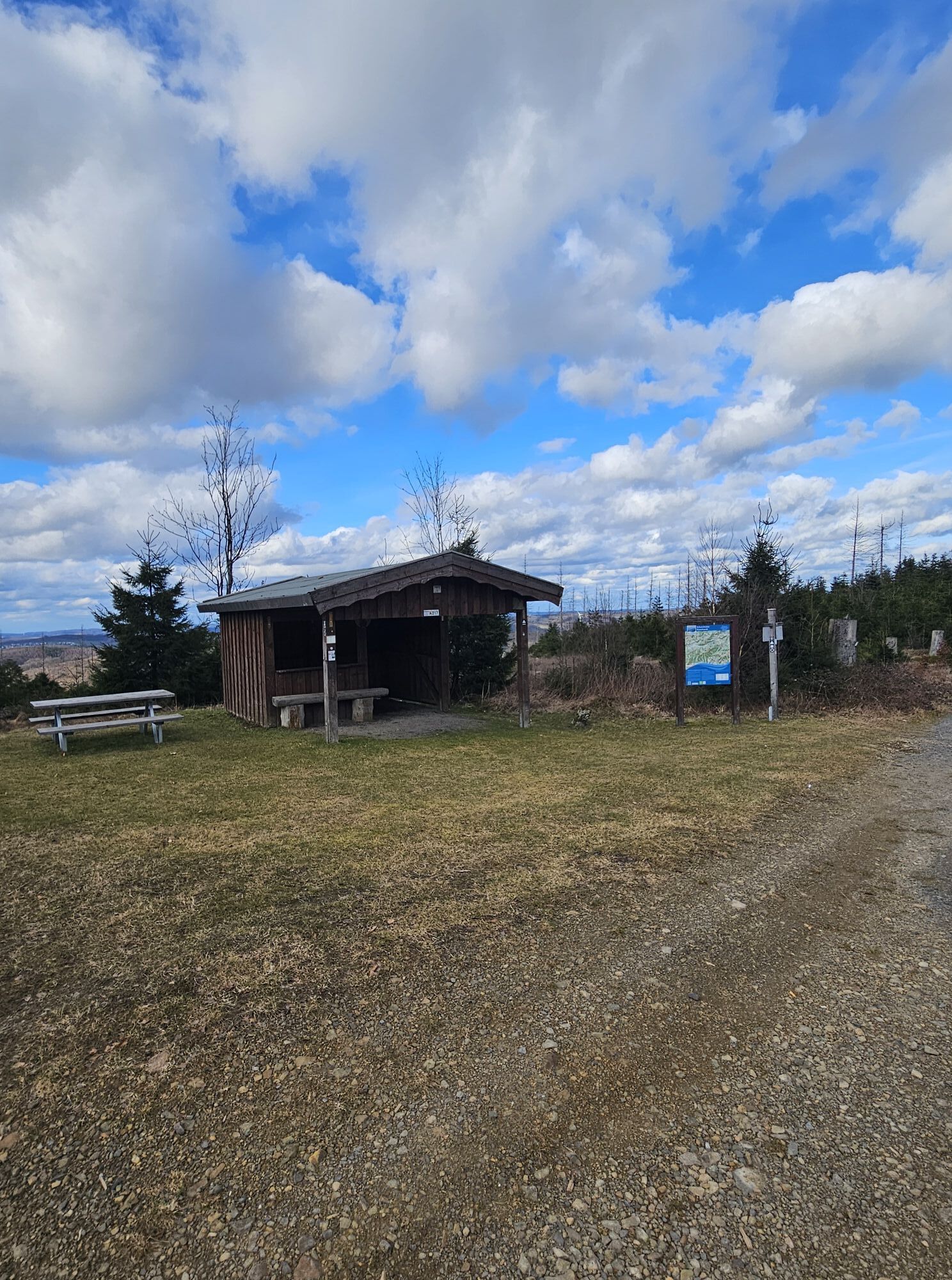
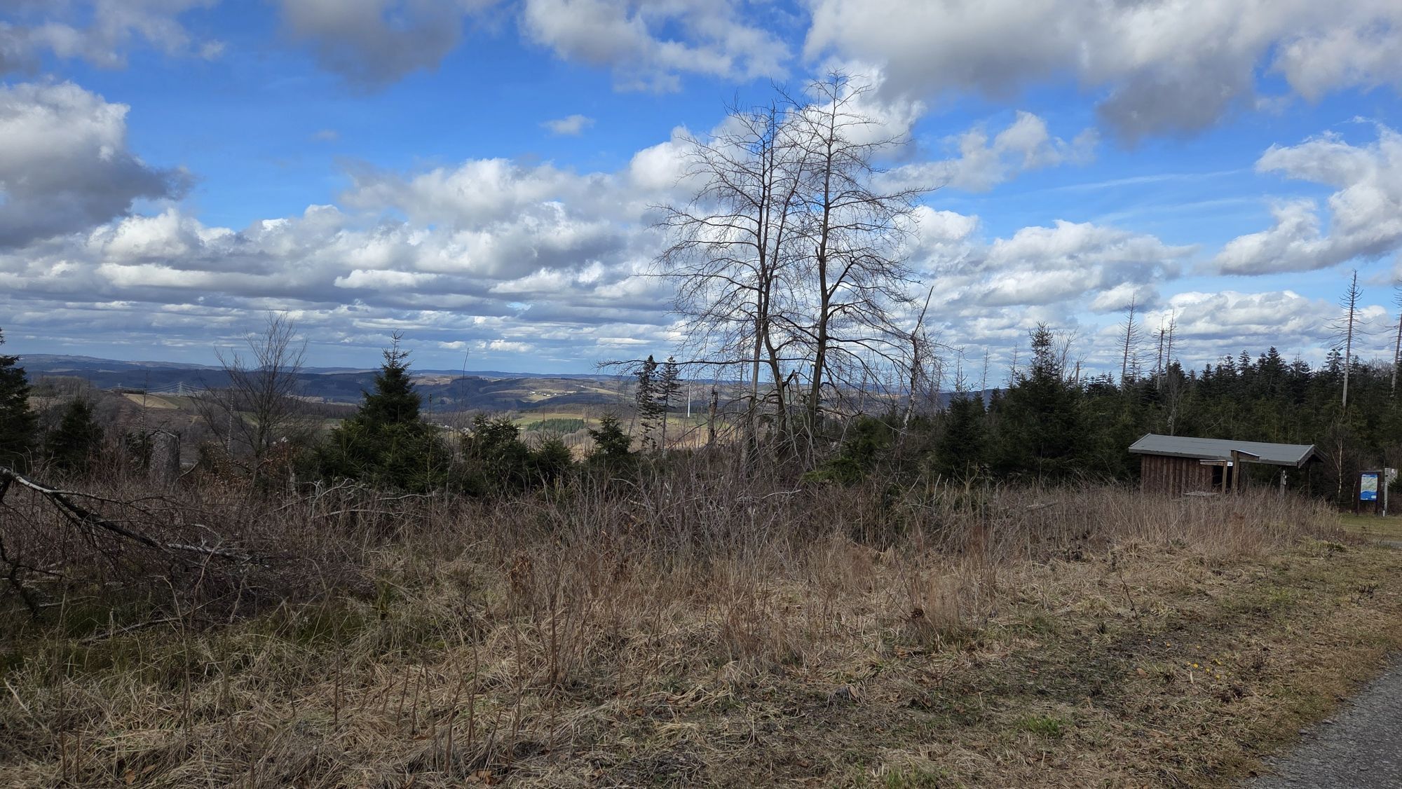
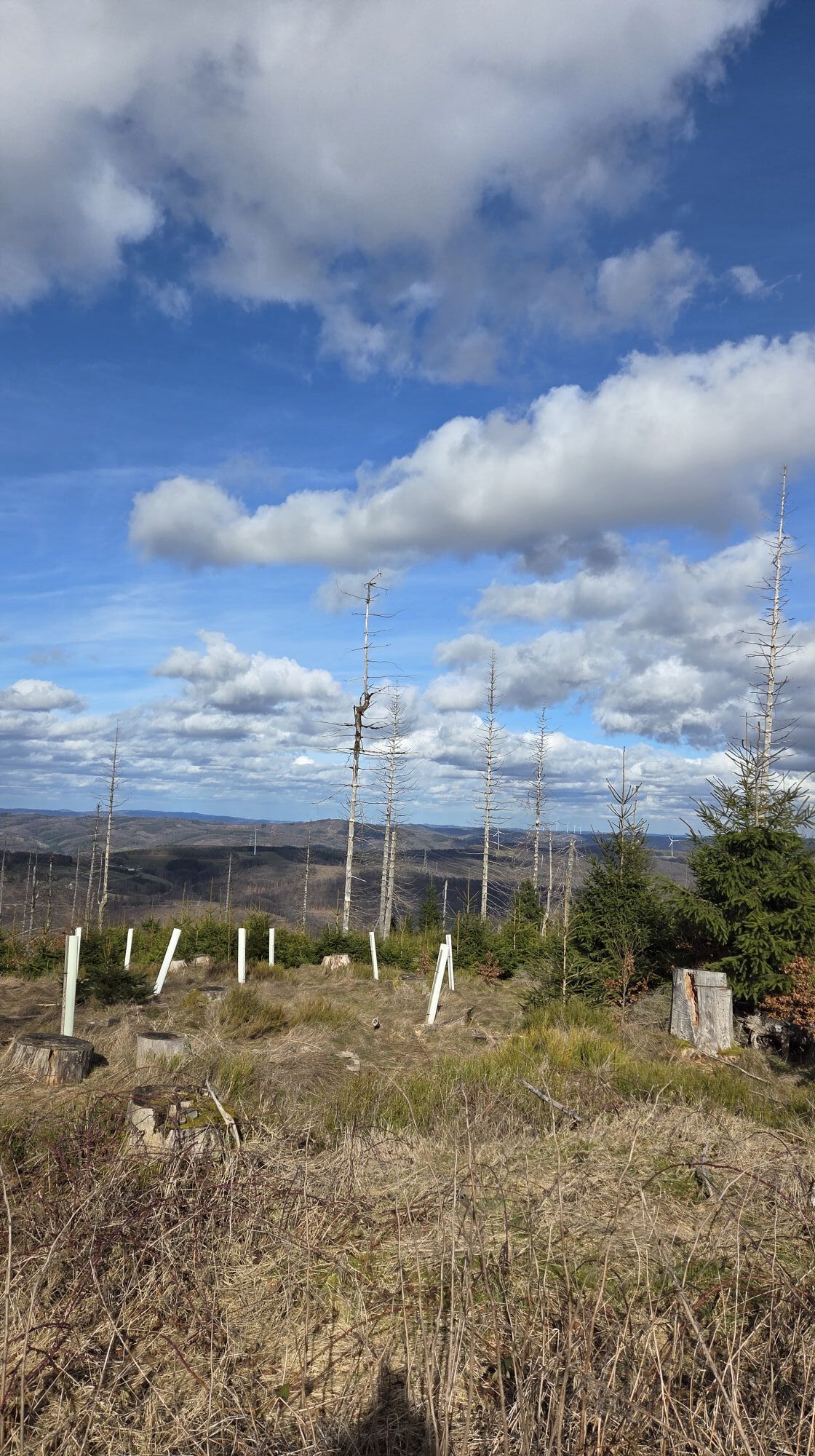
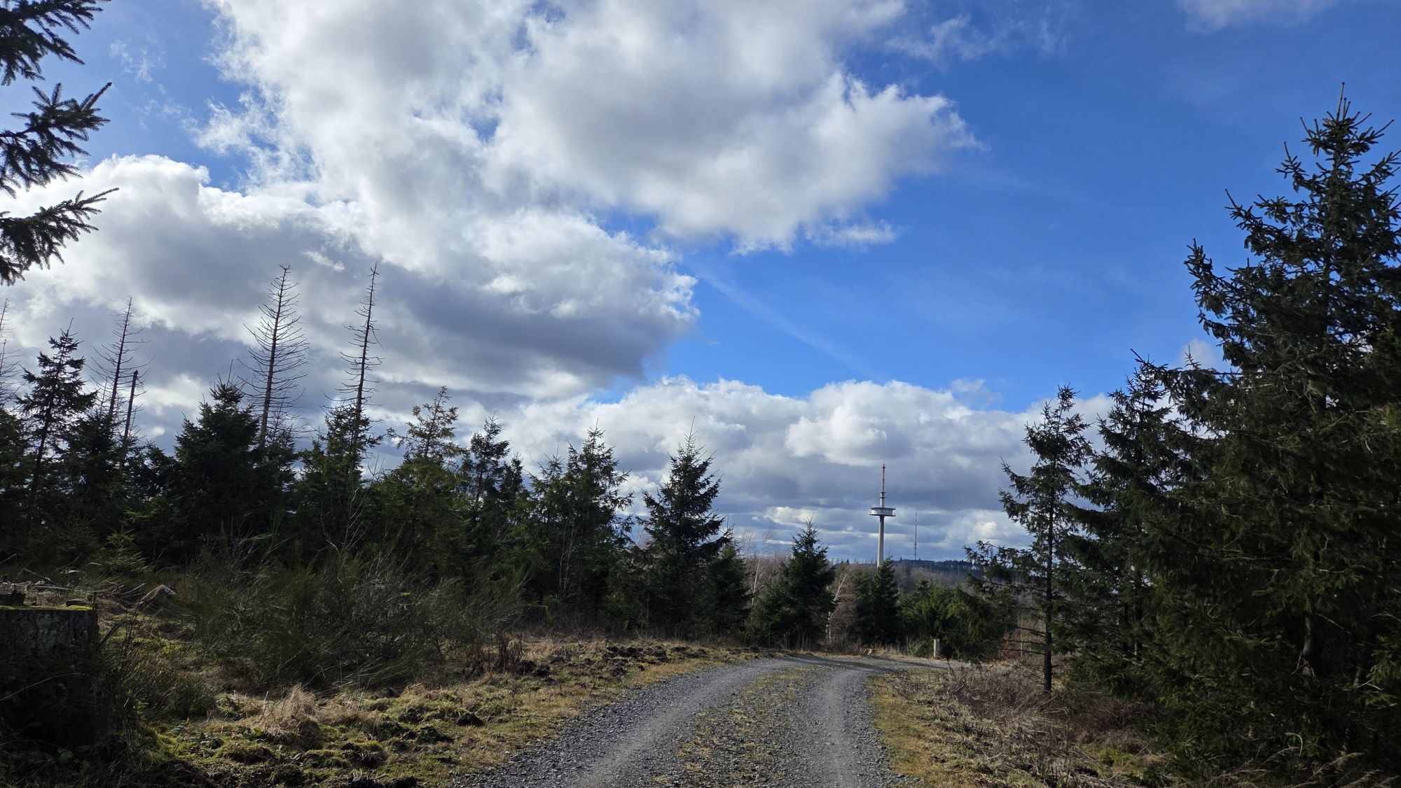
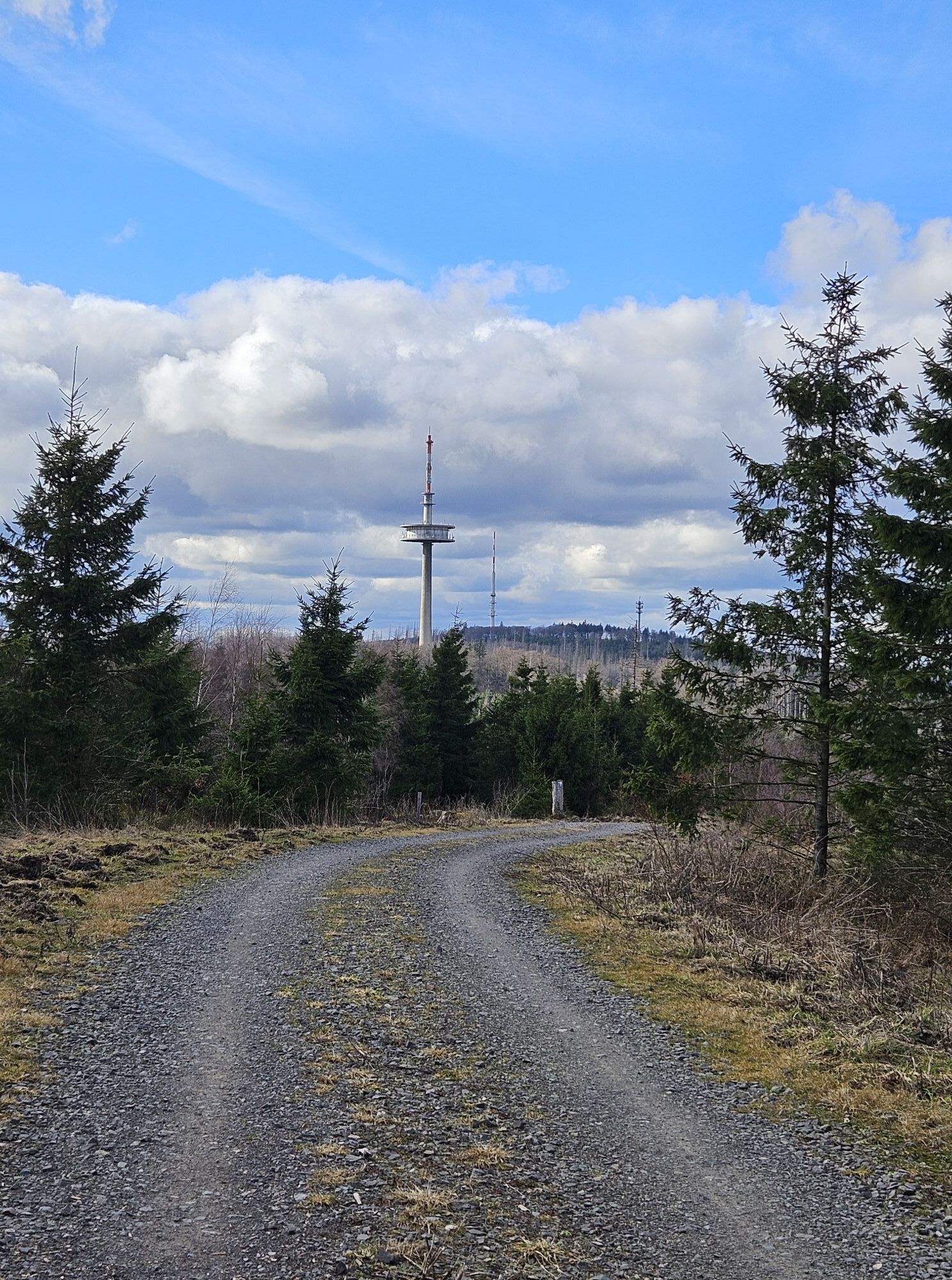
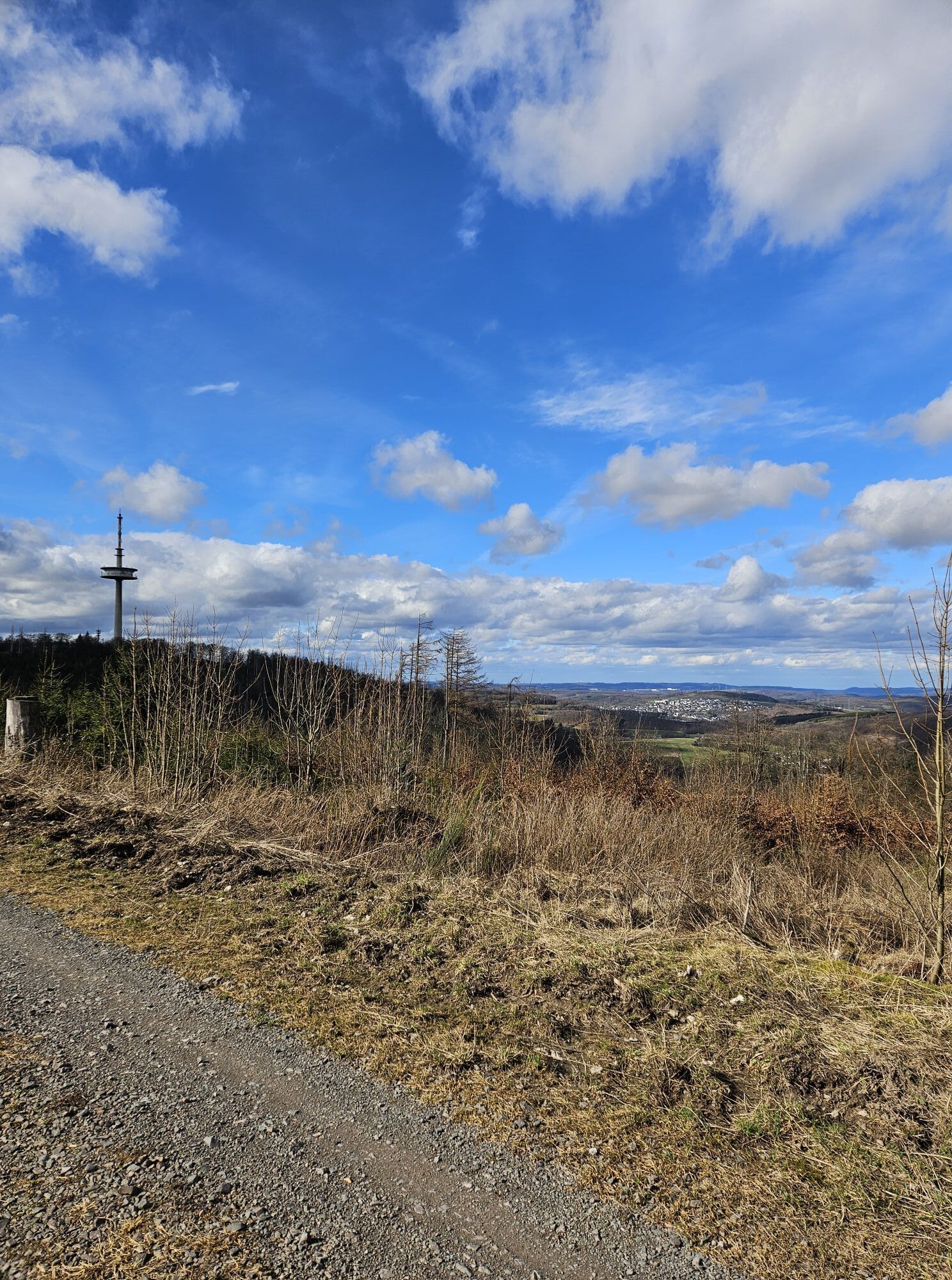
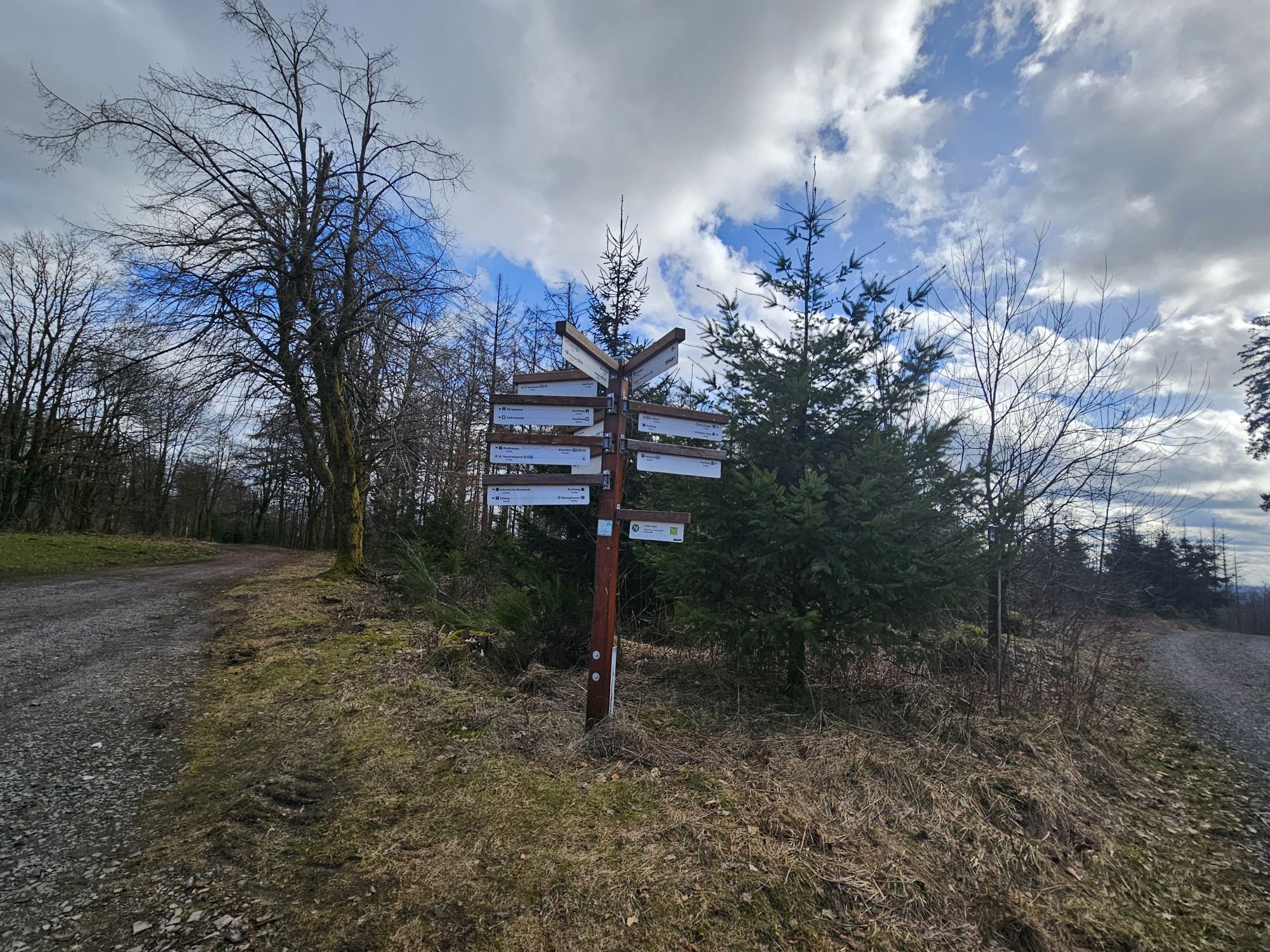
At about 20 kilometers in length, the Ebbekamm trail, given sufficient snow conditions, leads over the Nordhelle and through the beautiful (and snow-covered) Ebbe mountains near Herscheid, located in the...
At about 20 kilometers in length, the Ebbekamm trail, given sufficient snow conditions, leads over the Nordhelle and through the beautiful (and snow-covered) Ebbe mountains near Herscheid, located in the Märkisches Sauerland and Sauerland-Rothaargebirge Nature Park.
Starting at the central parking lot below the summit, cross-country skiing enthusiasts north of the Alps can fully enjoy this trail. The Ebbekamm trail is maintained by the Ebbekamm-Loipe association on a voluntary basis.


Course of the Ebbekamm trail approx. 20 km:
Start Nordhelle parking lot - Stahlschmidt junction: 2.60 km
Junction - Rehberg - Rüenhardt - shelter - Ebbe forester's lodge: 2.20 km
Forester's lodge shelter - Bärlappweg - Spinne street Ebbelinghagen: 2.70 km
Bärlappweg - Stahlschmidt junction: 0.85 km
Stahlschmidt junction - Panorama trail junction: 1.65 km
Panorama trail - Start Nordhelle parking lot: 2.00 km
Extension to Weltringhausen sports field
Spinne street - Ebbelinghagen - Bärlappweg junction - Weltringhausen sports field: 4.2 km
Da
Appropriate cross-country ski equipment is required.
You can reach the Nordhelle via the L707 between Herscheid and Meinerzhagen (Valbert). Possible approach via A45 and Lüdenscheid-Süd exit. Then shortly towards Herscheid and soon turn right onto the L694; follow the signs "Nordhelle".
Approach via A45 and Meinerzhagen exit. Here head towards (Meinerzhagen-)Valbert / Attendorn and at the Meinerzhagen district of Valbert, follow the signs (right) towards Nordhelle.
The summit of the Nordhelle and the nearby parking lots are not accessible by public transport during the winter months.
Parking is available directly at the trail's starting point at the P5 parking lot; further (alternative) parking spots are available in the nearby area.
3
A visit to the (snow-covered) summit with gastronomy, observation tower, and great panoramic views is definitely worth it.
Pridobite vpogled
Vedno v živo na mestu z več kot 9.500 spletnimi kamerami. bergfex Kot uporabnik Pro si lahko zdaj ogledate ustrezne spletne kamere za številne izlete v aplikaciji izleti iz. Tako si lahko neposredno ogledate trenutne razmere.
Priljubljeni izleti v okolici
-
4.0
Rundweg an der Versetahlsperre
srednjaPohodništvo 10.9 km -
4.5
2 Burgen Weg
svetlobaPohodništvo 16.9 km -
5.0
Um die Nordhelle
srednjaPohodništvo 6.81 km -
5.0
Bommecketal - Naturerlebnisweg in Plettenberg
svetlobaPohodništvo 4.07 km -
5.0
Spazier- und Wanderweg Genkeltalsperre
srednjaPohodništvo 9.85 km -
4.0
Circular hiking trail southern Biggesee
srednjaPohodništvo 9.51 km -
Veischeder Sonnenpfad
srednjaPohodništvo 37.6 km -
4.0
RuHe-Pfad (Around Helden in the Repetal)
srednjaPohodništvo 13.9 km -
4.0
Wasser-Weitblick-Pfad (Rundweg am Sauerland-Höhenflug)
srednjaPohodništvo 11.8 km -
5.0
K2 – Zur Falkenlei in Neuenrade-Küntrop
srednjaPohodništvo 10.4 km
Pohodništvo in sledenje


Ne zamudite ponudb in navdiha za naslednje počitnice
Vaš e-poštni naslov je bil dodan na poštni seznam.





