


Naturerlebniswege auf der Trupbacher Heide
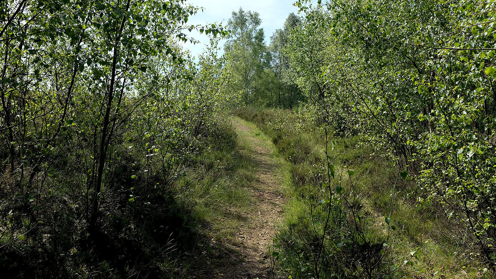
The circular trails vary in length between five and nine kilometers. They run over large sections with slight elevation differences.
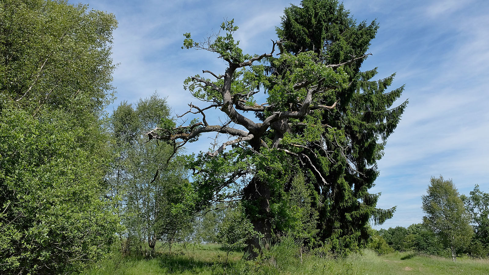
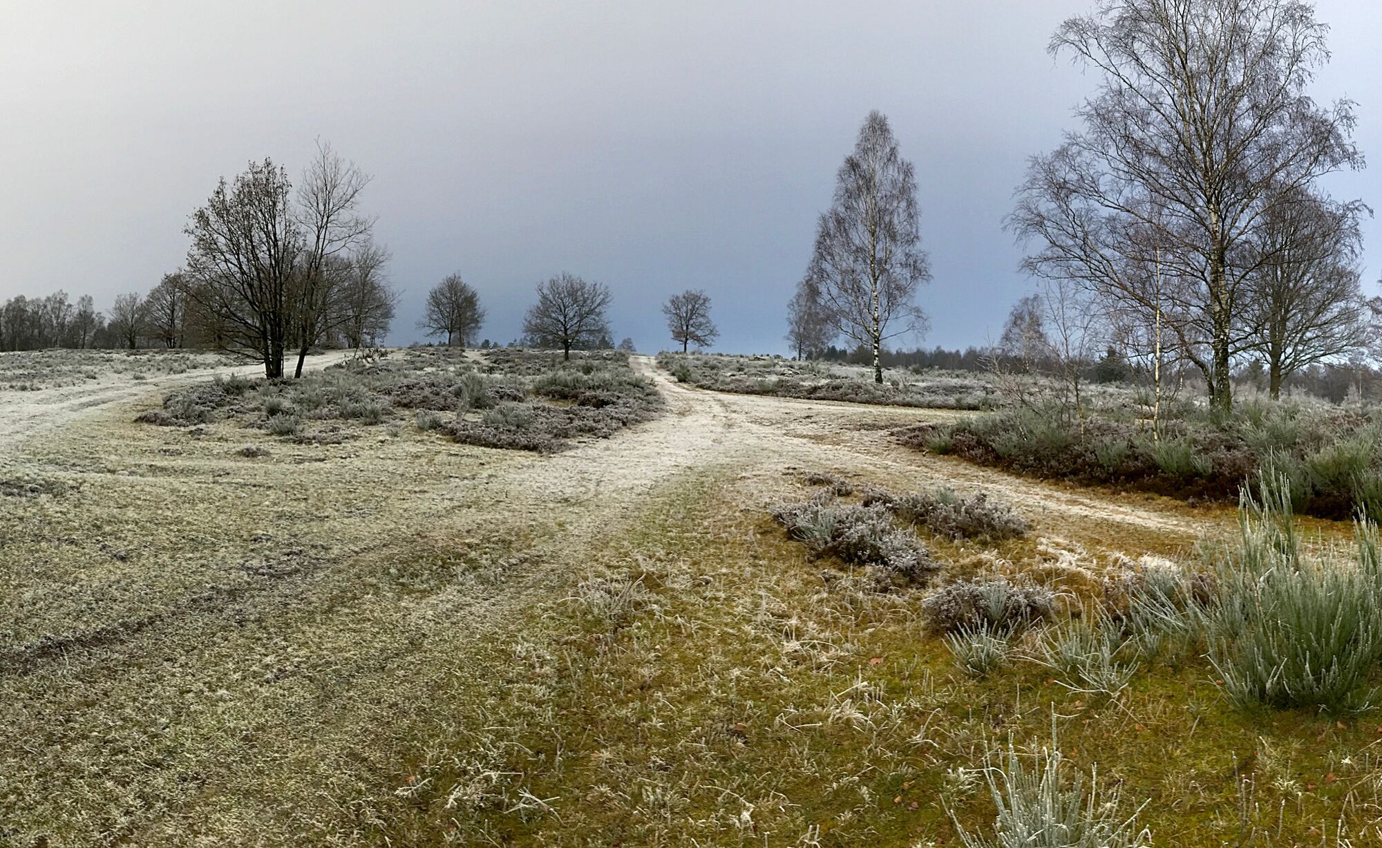
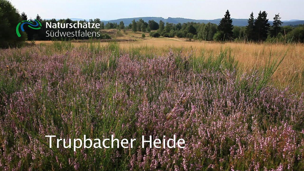
The heath landscape, unusual for the forested Siegerland, is the result...
The circular trails vary in length between five and nine kilometers. They run over large sections with slight elevation differences.
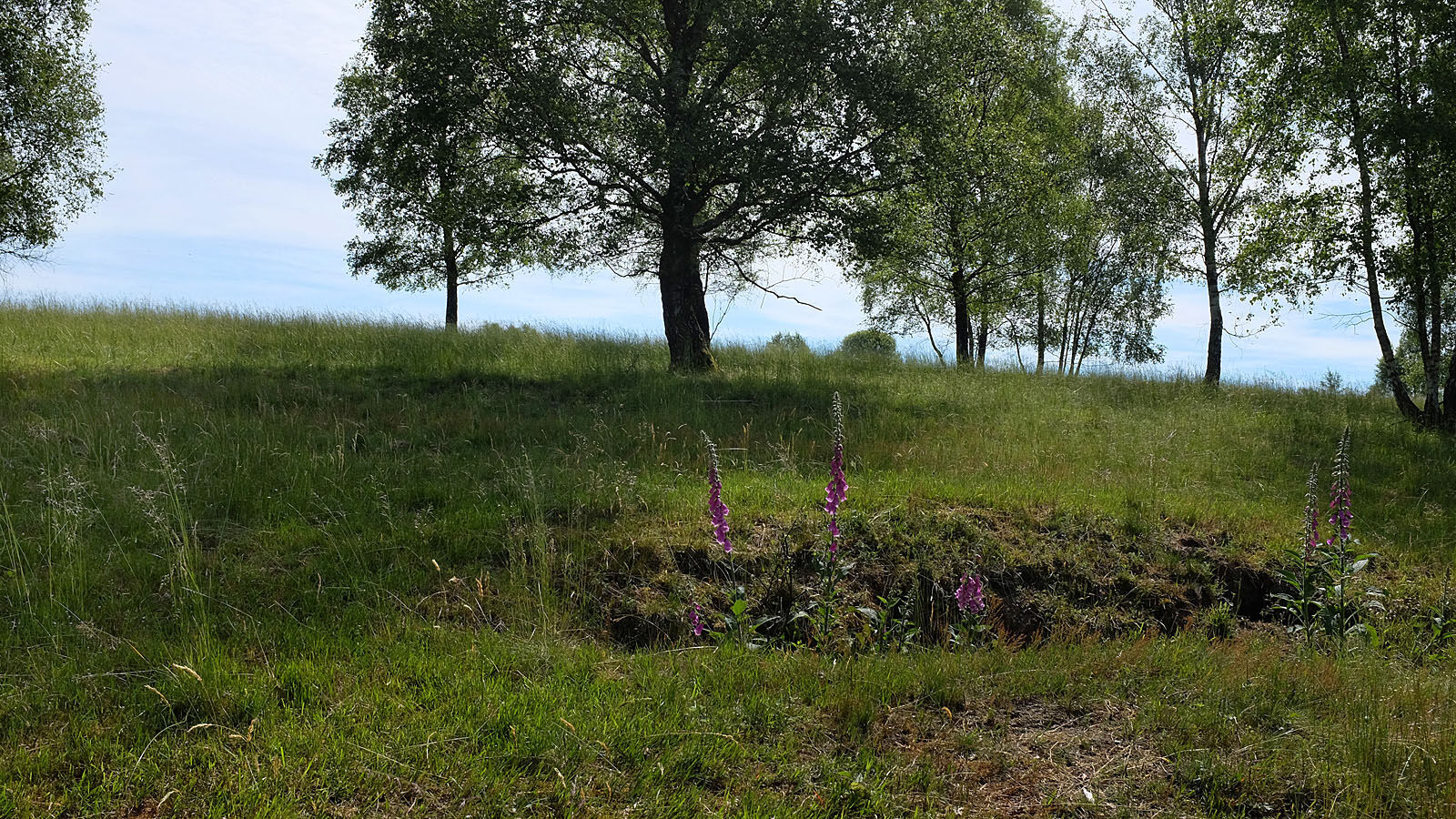
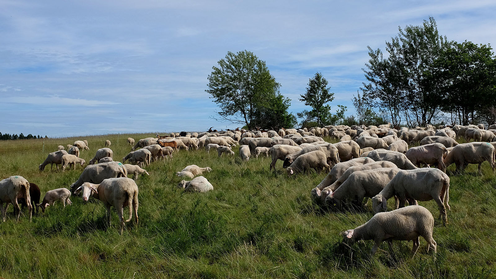
The heath landscape, unusual for the forested Siegerland, is the result of decades of use as a military training area. From 1936 to 1993, first German and then Belgian tanks circled here after the war. At the same time, and still today, environmentally friendly grazing with sheep takes place. This ensures the openness of large areas and shapes the character of the poor meadows and rough grasslands. Thus, a variety of animal and plant species can be found here that are no longer present in the more intensively managed surrounding areas.
More information about the biological special features of Trupbacher Heide

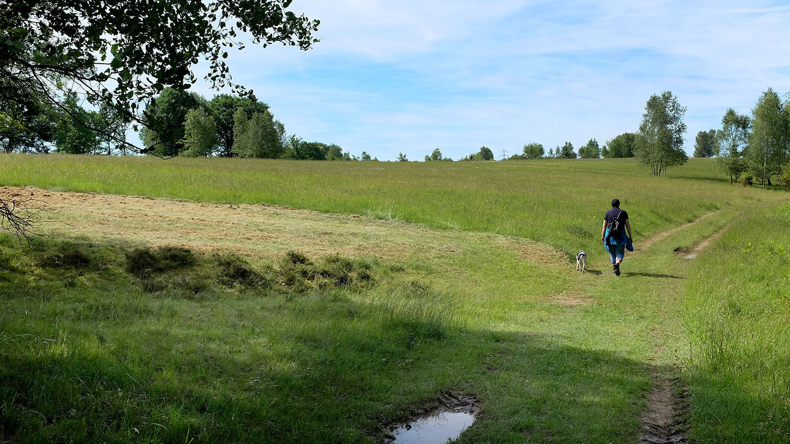
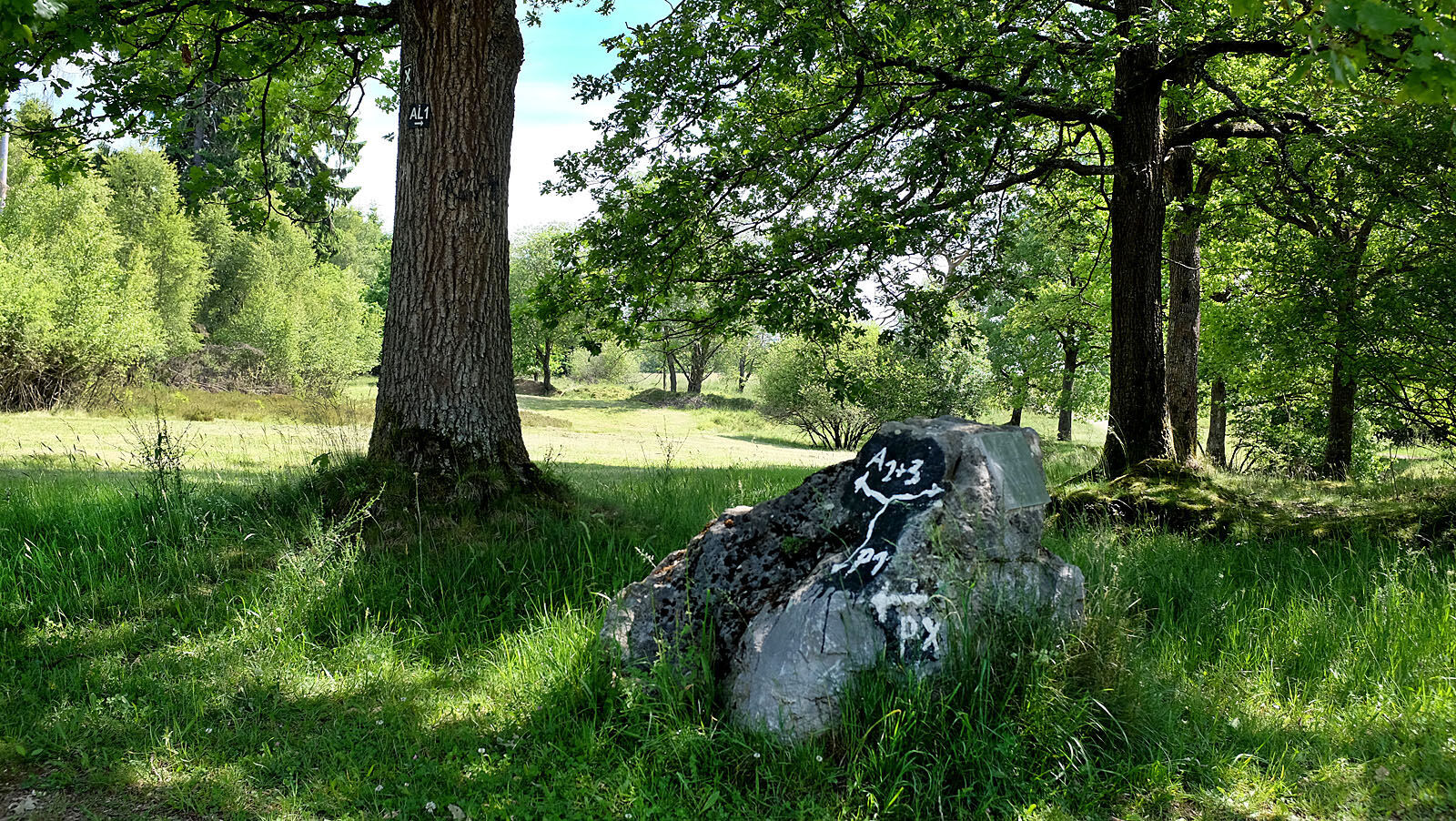
The hiking area Trupbacher Heide offers a variety of paths that open up the area for hikers. The flyer linked under "Literature" for download, which is also posted on the board at the starting point, offers different route variants and also allows shorter circular courses.
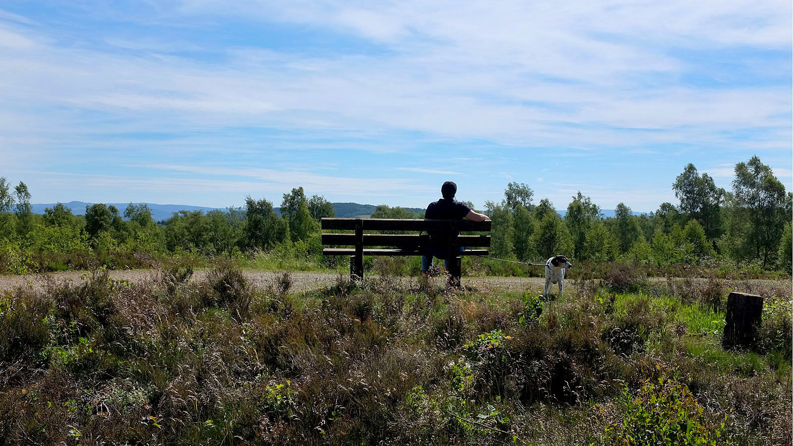
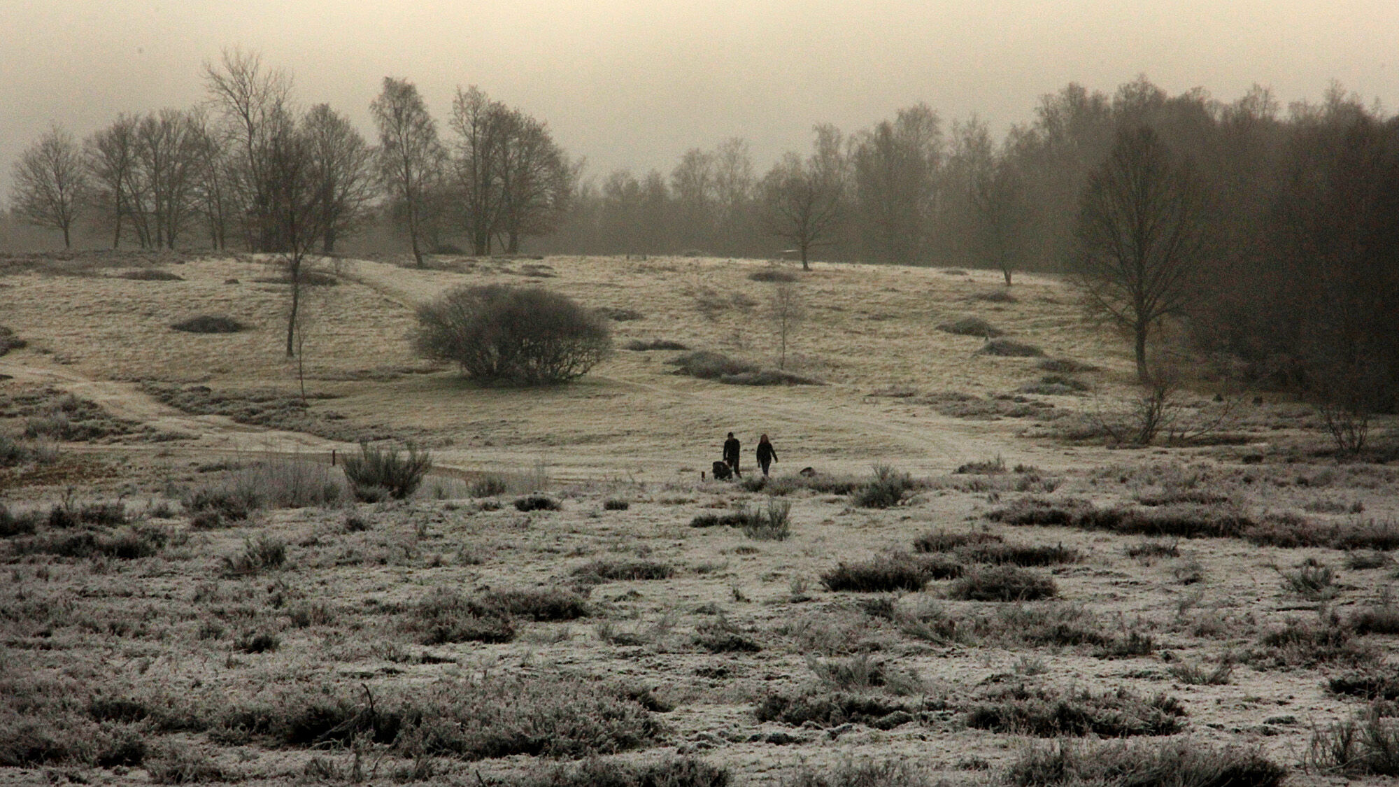
The extensively managed open land and the forests offer a variety of quiet places to linger
From highway 45 (Sauerland line), you can reach the starting point at the hiking parking lot via exit 20/Freudenberg and then towards Siegen. From country road 562, Trupbacher Straße branches off to the left at a traffic light at an intersection towards Trupbach. The small Trupbacher Straße leads up to the hill with the parking lot. Distance: just under 10 kilometers, coordinates 50.901092, 7.985809
Another starting point is on the northern side of the Trupbacher Heide above Freudenberg-Alchen.
Attention: The turn-off from the road leads to a partly rutted forest path to the hiking parking lot at the water tank 150 meters above. Be careful when reentering the poorly visible road. coordinates 50.909036, 7.951916
At the hiking parking lot between Siegen-Trupbach and Siegen-Birlenbach or the parking lot at the water tank above Freudenberg-Alchen
The area is indeed used by many hikers, but those seeking relaxation spread out over the large area. Pure tranquility is guaranteed. It is a good idea to pack a snack and a blanket in your backpack and look for a quiet spot for a picnic. The open meadows especially invite children to play.
Priljubljeni izleti v okolici
Hilchenbach Adventure Trail
srednjaTematska pot 3.51 kmErlebnisweg Sieg | Trupbacher Heideweg | Siegen
težkoPohodništvo 15.2 kmNatursteig Sieg | Etappe 13 | Alsdorf–Kirchen (Sieg)
svetlobaPohodništvo 11.3 kmWasserstaaten - Natur trifft Technik
svetlobaPohodništvo 4.60 kmRundweg Obersdorf
Pohodništvo 8.20 kmErlebnisweg Sieg | Hexenweg | Friesenhagen
srednjaPohodništvo 7.84 kmVon der Vorspanneiche in den Dollenbruch (A2)
svetlobaTematska pot 4.43 kmRothaarsteig - Zugangsweg von Kreuztal
srednjaPohodništvo 14.7 kmErlebnisweg Sieg | Erzquellweg | Mudersbach
težkoPohodništvo 12.2 kmErlebnisweg Luisenpfad
Pohodništvo 2.90 km

Pohodništvo in sledenje


Ne zamudite ponudb in navdiha za naslednje počitnice
Vaš e-poštni naslov je bil dodan na poštni seznam.