







Rothaarsteig von der Lahnquelle nach Irmgarteichen
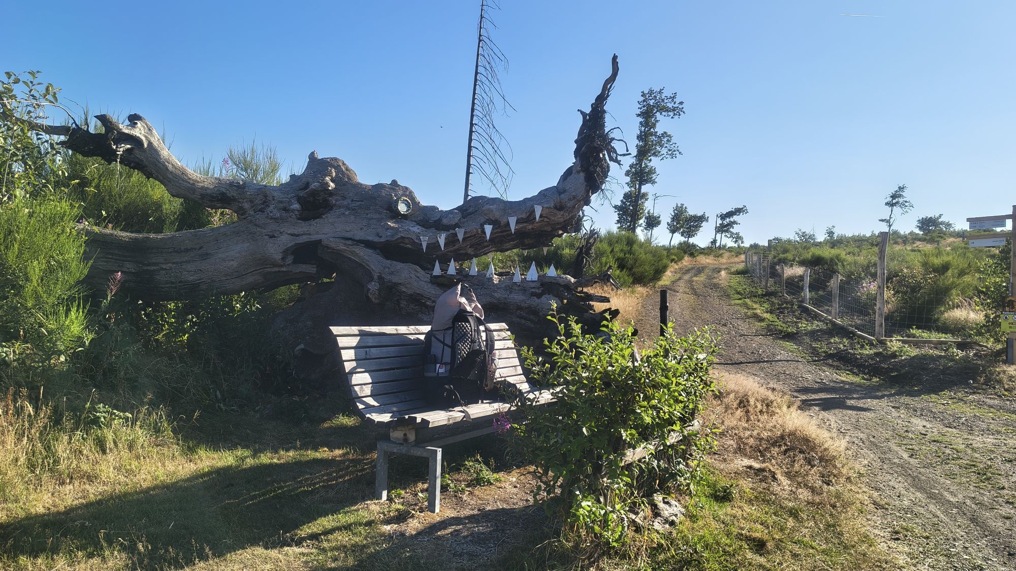
The route begins at the source of the Lahn and leads directly to the Ilse source, which is not known for its size but for its mysterious healing powers. The Ilse was especially considered a holy spring...
The route begins at the source of the Lahn and leads directly to the Ilse source, which is not known for its size but for its mysterious healing powers. The Ilse was especially considered a holy spring in the Middle Ages and was a pilgrimage site for many years.
From the Ilse source, the Rothaarsteig leads to the Jagdberg (674m), the highest point in the Lahn-Dill district. Over the Haincher Height, the path reaches the rest area "Kaffeebuche," from which you can enjoy a beautiful view of the Johannland. Down in the valley lie the two villages of Hainchen, with the only elevated water castle in Westphalia, and Irmgarteichen. After crossing the district road, you now take the yellow-marked access path "Irmgarteichen North" at the end of the hiking parking lot to reach Irmgarteichen.

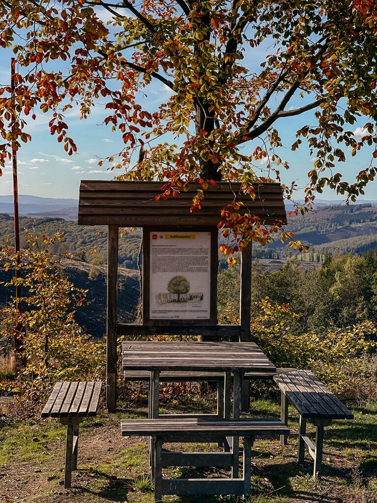
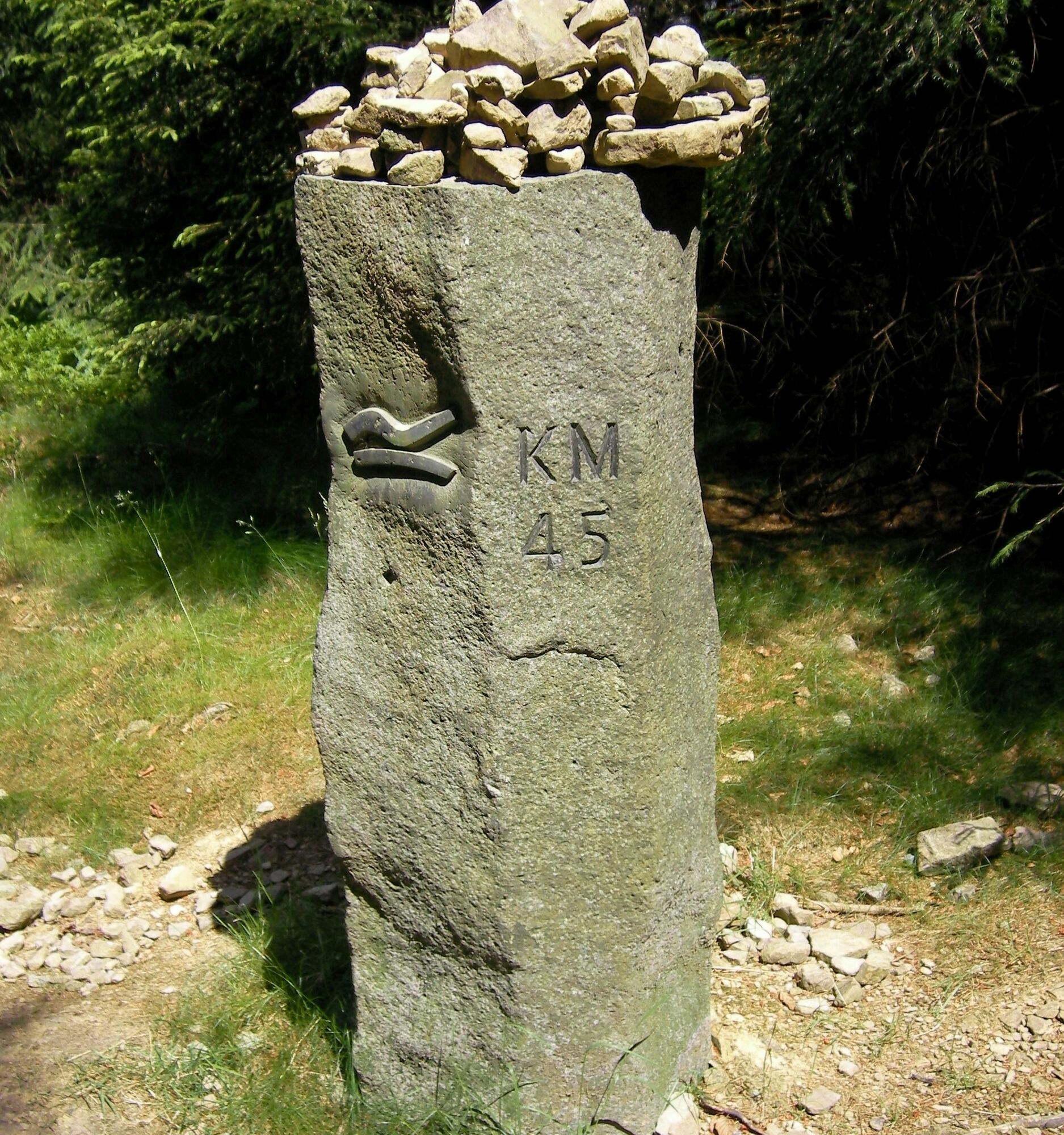
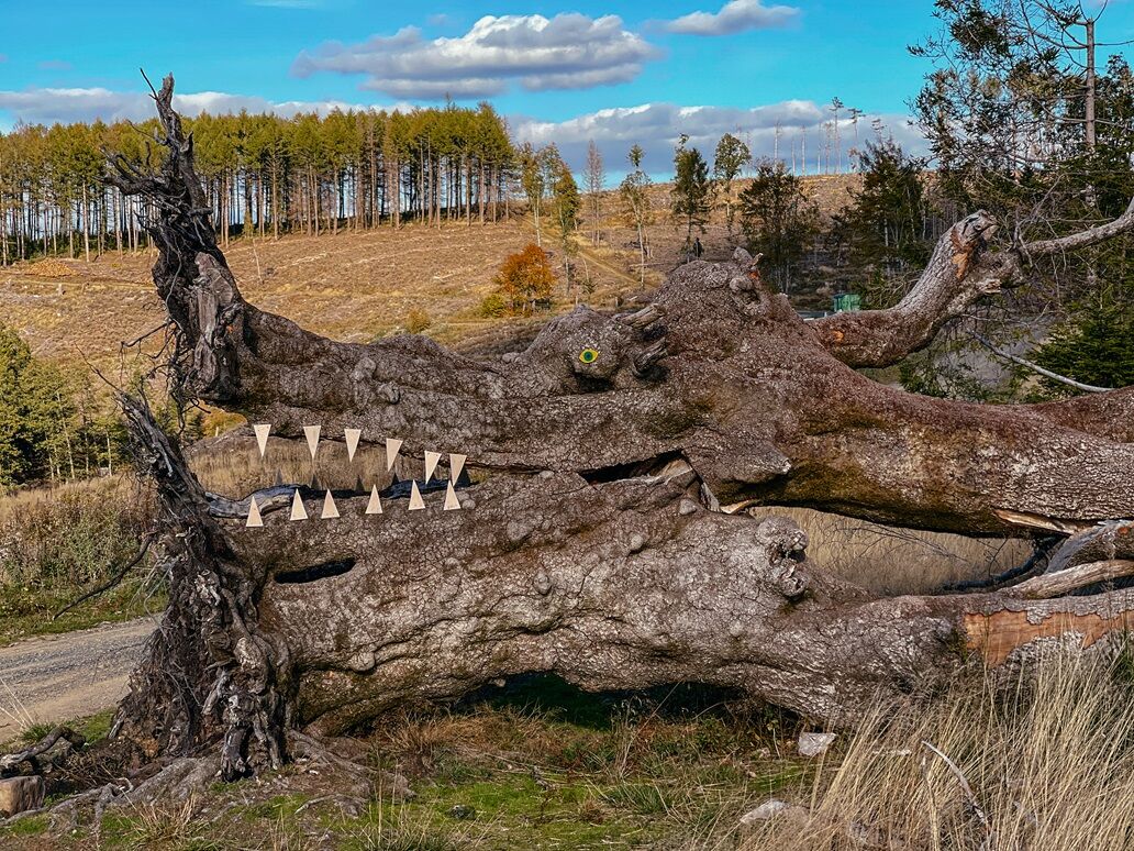

Lahn source - Ochsenborn - Historic Iron Road - Ilse source - Jagdberg - Kaffeebuche - Haincher Height - Irmgarteichen
The Rothaarsteig leads over numerous natural paths away from agricultural and forestry roads. Therefore, weatherproof clothing and sturdy footwear are a must for every hike. We want you to experience the "Path of the Senses" not only "dry" but also with "good" feet.
In our small hiking shop at , you will also find a selection of Rothaarsteig items to prepare for your route or as souvenirs. We also gladly recommend the durable and high-quality outdoor equipment from our long-term partner, the outdoor outfitter Tatonka.
Hiking backpack
With a suitable hiking backpack, your tour on the Rothaarsteig is twice as much fun! Hiking backpacks offer very comfortable carrying properties through a ventilated carrying system, which ensures that sweat can evaporate immediately. They can be secured with a belly or hip belt and thus fit firmly on your back with every movement. In addition, they are equipped with a practical holder for hiking poles and often offer a compartment with an outlet for a hydration bladder so that hydration is ensured at all times.
Here you can find hiking backpacks from the outdoor outfitter Tatonka in various sizes for day hikes and multi-day tours and with different ventilated back systems.
First Aid Kit
To be able to fully enjoy your hiking tour on the Rothaarsteig without restrictions, a first aid kit certainly belongs in your backpack. After all, nothing is more annoying than a blister on the foot or small injuries that cannot be treated immediately and properly. Tatonka's first aid kits are filled with all the essential materials for first wound care and also contain an "outdoor cheat sheet" with concise and clear guidelines for proper behavior in emergencies in the open nature.
Here you can find the first aid kits from Tatonka!
Food and drinks
On some stages, especially between Lahnhof and Dillenburg, there are unfortunately no dining options along the way. Remember to pack food and drinks, especially here. Sufficient fluid intake is especially important in summer.
The stainless steel bottles, stainless steel insulated jugs, and stainless steel lunch boxes from the German outdoor outfitter Tatonka are not only practical but also unbreakable and durable.
Information on the emergency panels on the Rothaarsteig
Hiking trails mostly run away from towns and settlements, and everyone who hikes has surely thought about what would happen if an emergency occurs. How can I be found here? Where am I actually? Can the rescue service reach me?
In an emergency, it has to be quick! Therefore, the Rothaarsteig is continuously equipped with so-called emergency signs. The green-white plaques attached to the signpost posts bear a letter-number combination that you must provide when making an emergency call. This way, the rescue teams know exactly where you are, saving valuable time.
Note on increased forest fire risk
Please keep in mind that due to dryness, there is currently an increased forest fire risk! Therefore, please observe the following instructions:
Observe the legal smoking ban in the forest - it applies in spring, summer, and autumn, specifically: from March 1 to October 31. Observe the ban on open fires in the forest and within 100 meters from the forest. Take glass out of the forest - the burning glass effect can cause forest fires.If it’s (too) late:
Extinguish small fires if you can do so safely. Check the spot carefully if necessary. Report fires via "112". Leave the danger area via the shortest route.The forest thanks you!
The starting point of this route at the Lahn source is unfortunately not accessible by public transport. The endpoint of this route is reachable by bus line R16 from the station in Siegen (bus stop: Irmgarteichen Church, Netphen).
Parking at the starting point of the stage: Hiking parking lot Lahnhof
Parking at the endpoint of the stage: Glockenstraße in Netphen-Irmgarteichen
There are no dining options on this stage. Please remember to bring enough fluids and food. Further information on the Rothaarsteig can be found at www.rothaarsteig.de or by phone on the free service hotline at +49 2974 / 499 4163. We are happy to advise you personally on your route planning.
Special points along the way:
Lahn source Ilse source Rest area KaffeebucheGuest accommodations:
Hotel Fünf10 Pension zum Rothaarsteig Romantik Landhotel Doerr Hotel in Auerbachtal Gasthof Pension JokebesAll listed accommodations are certified as Rothaarsteig quality businesses and offer a transfer to and from the Rothaarsteig for a small additional charge. Unfortunately, there are no dining options along the way.
Pridobite vpogled
Vedno v živo na mestu z več kot 9.500 spletnimi kamerami. bergfex Kot uporabnik Pro si lahko zdaj ogledate ustrezne spletne kamere za številne izlete v aplikaciji izleti iz. Tako si lahko neposredno ogledate trenutne razmere.
Priljubljeni izleti v okolici
-
Lahnwanderweg 1st stage Lahn source – Feudingen
srednjaPohodništvo 14.3 km -
Lahnwanderweg stage 02 Feudingen – Bad Laasphe
srednjaPohodništvo 16.8 km -
Rothaarsteig von der Ginsberger Heide zur Lahnquelle
težkoPohodništvo 19.1 km -
Lahn cycle path 1st stage upstream Biedenkopf - Feudingen/Lahn source
težkoKolesarjenje 30.7 km -
Hilchenbach Adventure Trail
srednjaTematska pot 3.51 km -
ROTHAARSTEIG TRAIL “Ilsepfad” (“Ilse path”)
srednjaPohodništvo 16.0 km -
Rothaarsteig-Spur Dill-Bergtour
srednjaPohodništvo 15.9 km -
Rothaarsteig-Spur Gernsdorfer Höhentour
srednjaPohodništvo 13.4 km -
Rothaarsteig von der Haincher Höhe nach Dillenburg
težkoPohodništvo 27.3 km -
Köhlerpfad
srednjaTematska pot 5.17 km
Pohodništvo in sledenje


Ne zamudite ponudb in navdiha za naslednje počitnice
Vaš e-poštni naslov je bil dodan na poštni seznam.





