







Sauerland-Höhenflug: From Altastenberg to Hallenberg

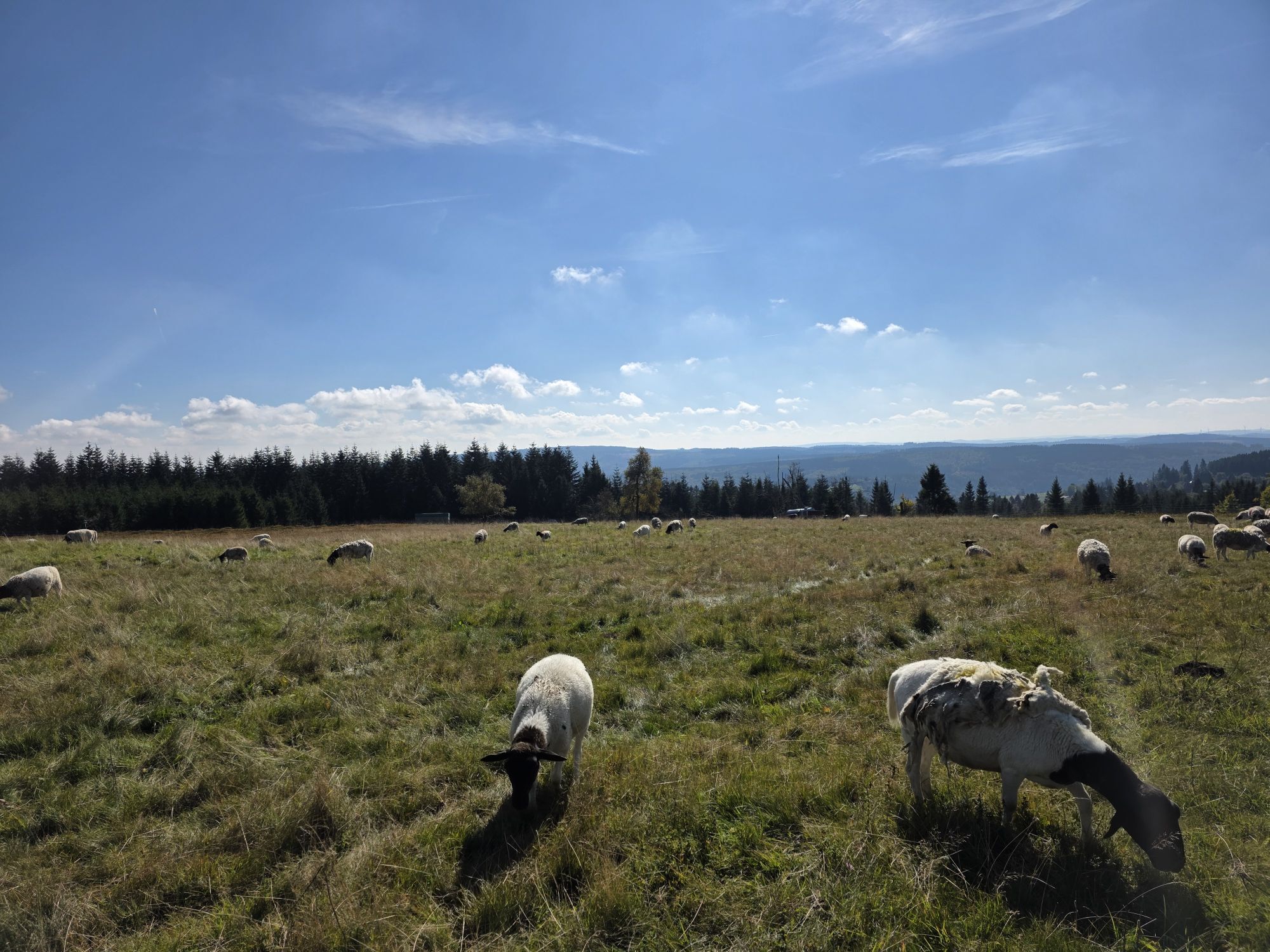
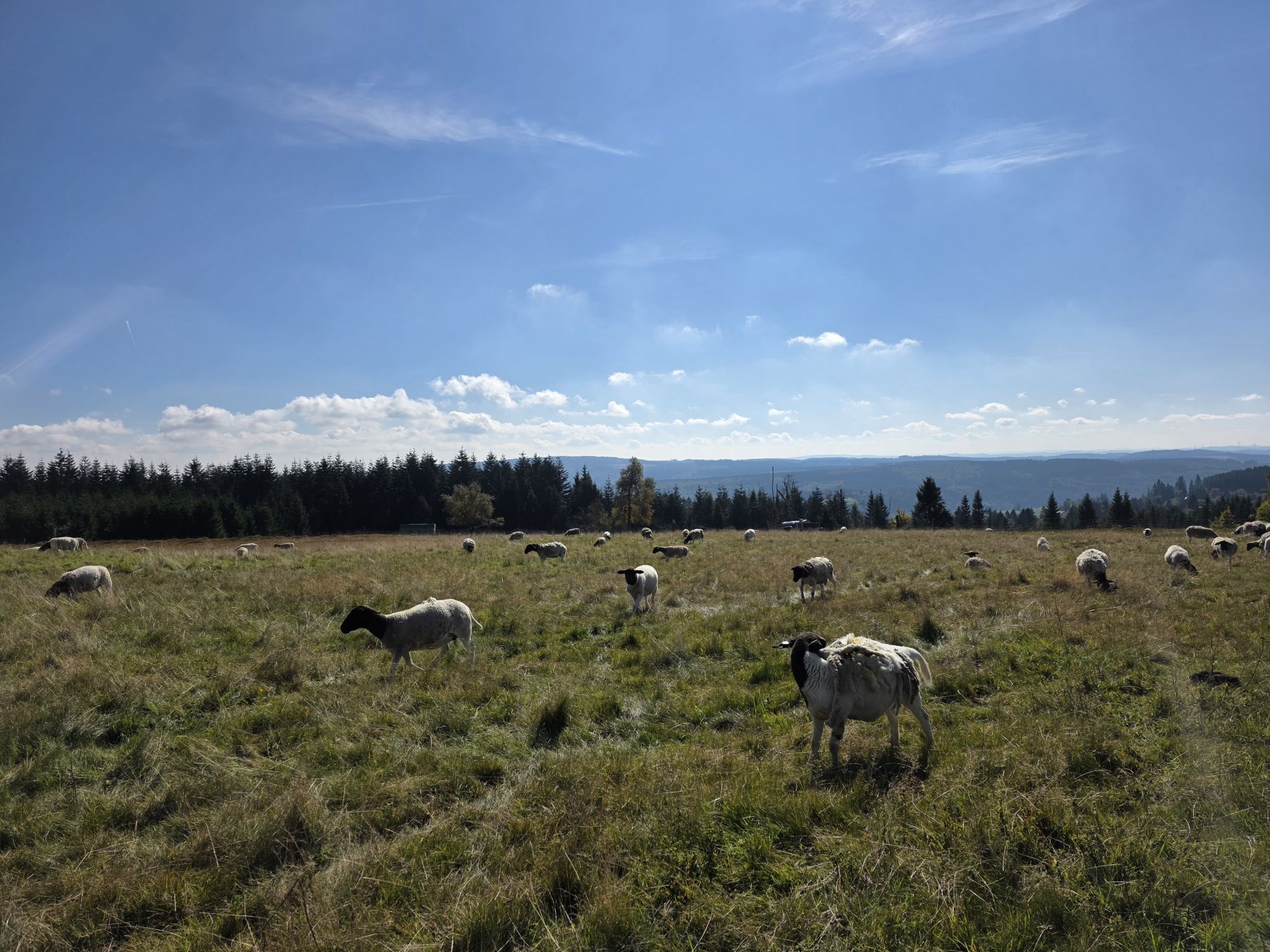
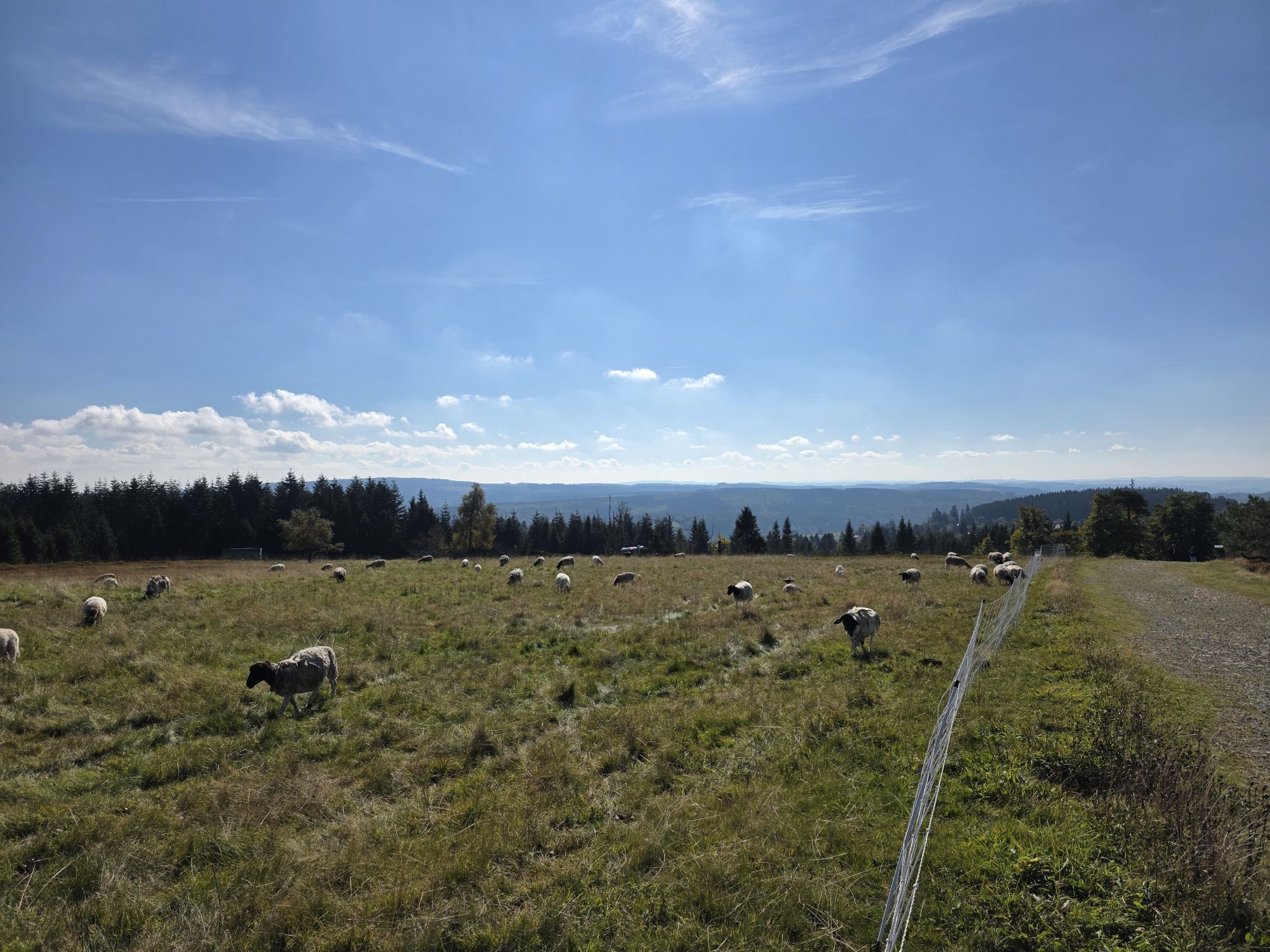
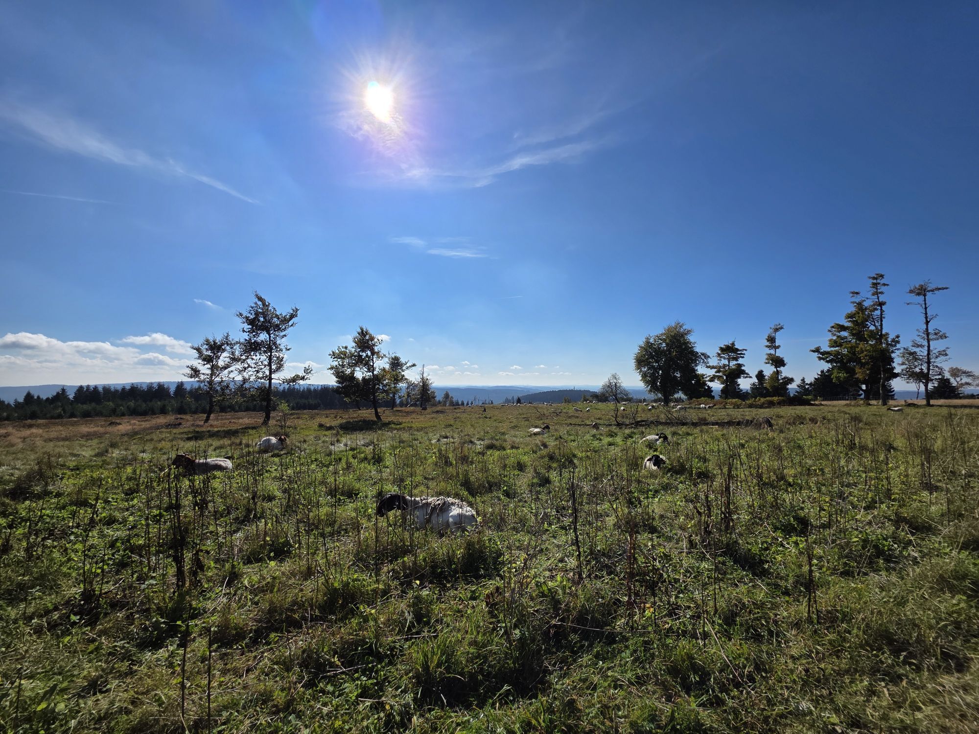
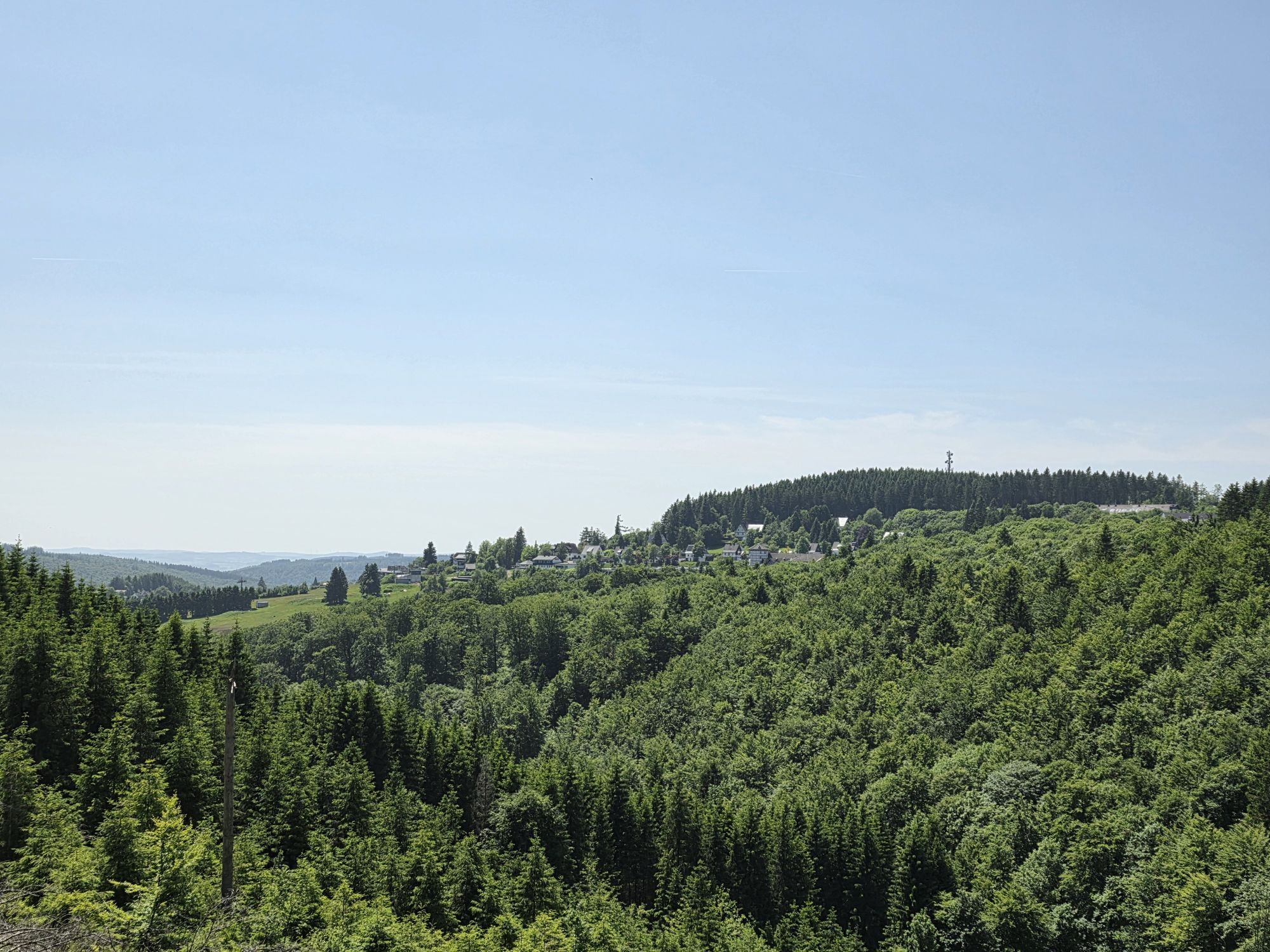
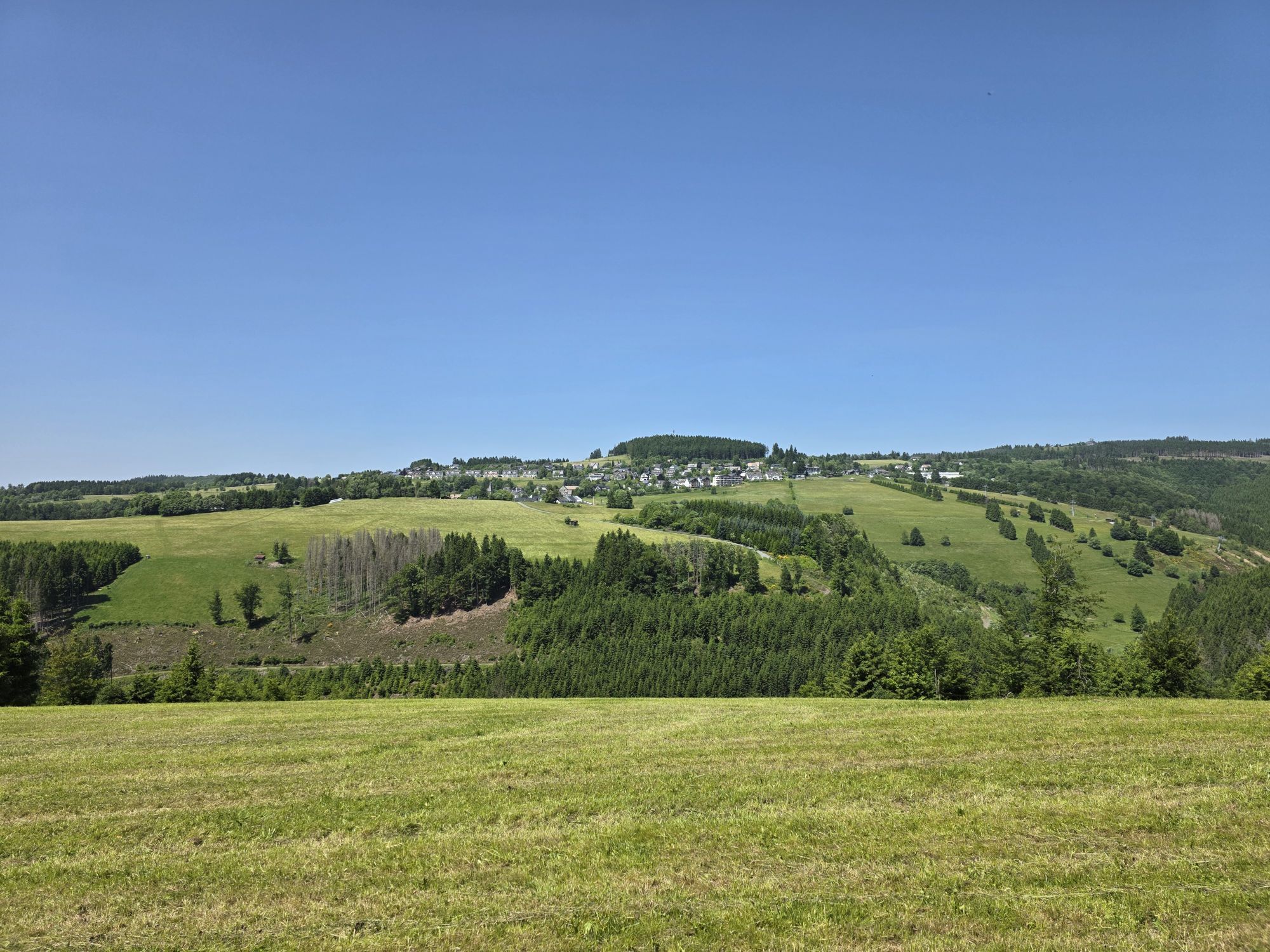
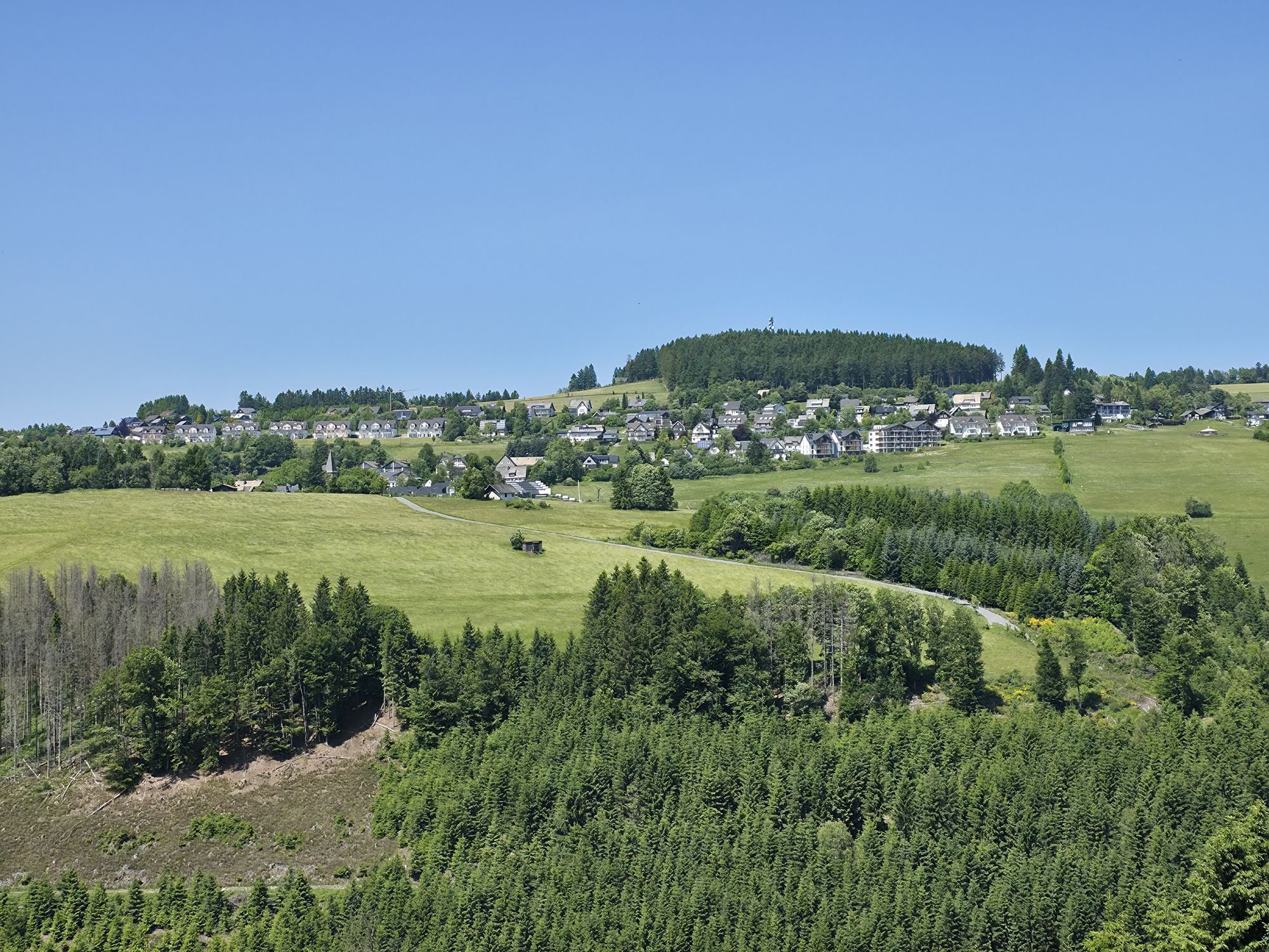
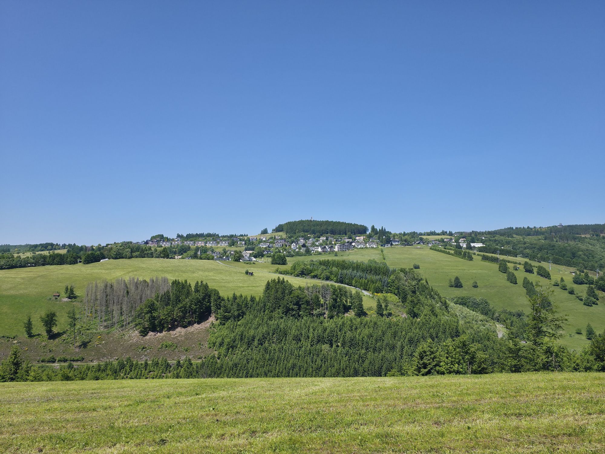
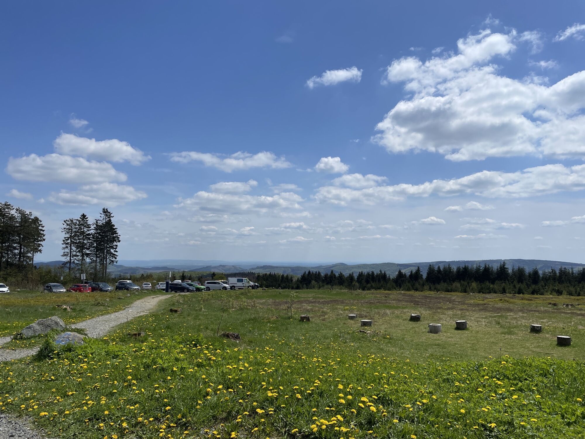
The stage from Altastenberg to Hallenberg on the Sauerland-Höhenflug impresses with fantastic views, pristine nature, and quiet paths. There are three observation towers along the way, including the Astenturm,...
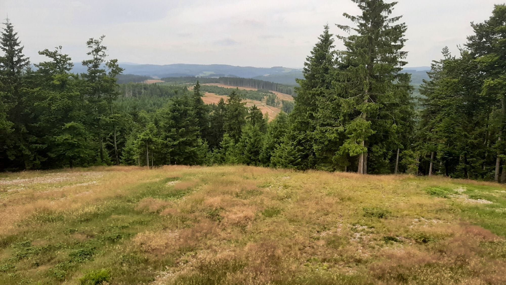
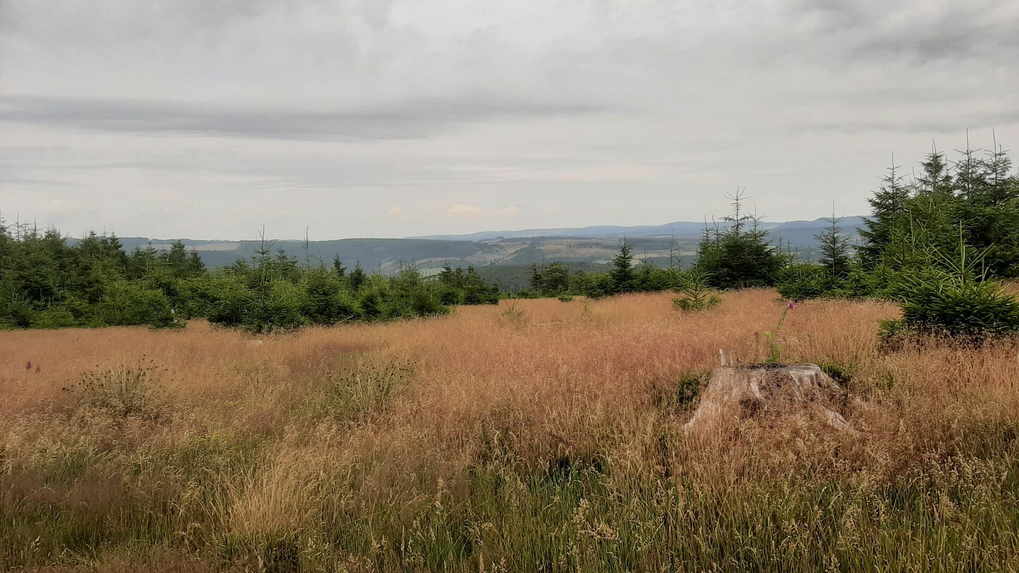
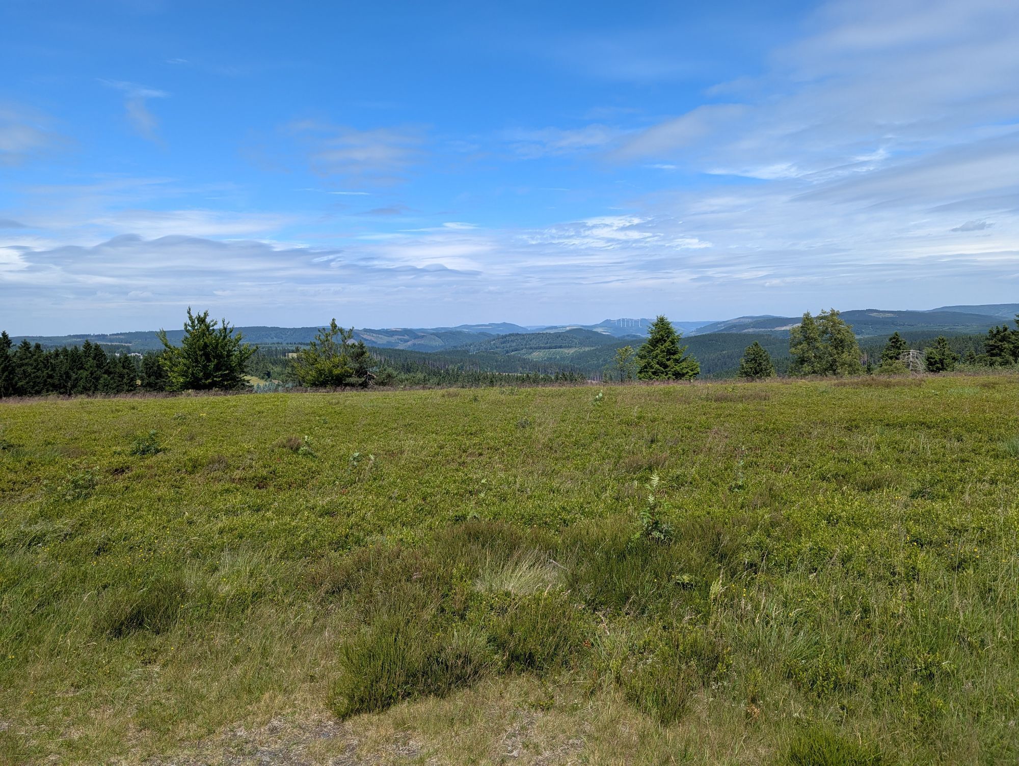
The stage from Altastenberg to Hallenberg on the Sauerland-Höhenflug impresses with fantastic views, pristine nature, and quiet paths. There are three observation towers along the way, including the Astenturm, which sits on the best-known mountain of North Rhine-Westphalia, the Kahler Asten, and at 842 m also represents the highest point on the long-distance trail Sauerland-Höhenflug. The Heidkopfturm near Hallenberg also offers hikers a fantastic panoramic view over the Rothaargebirge and the Medebach Bay. With the idyllic Renautal, the rare high heath on the Kahler Asten, and the expansive, bright forests near the Ziegenhelle, very special natural treasures await you.

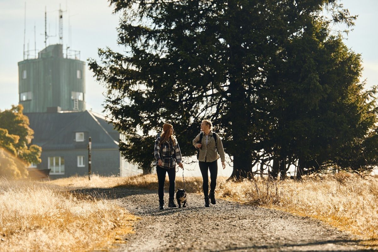
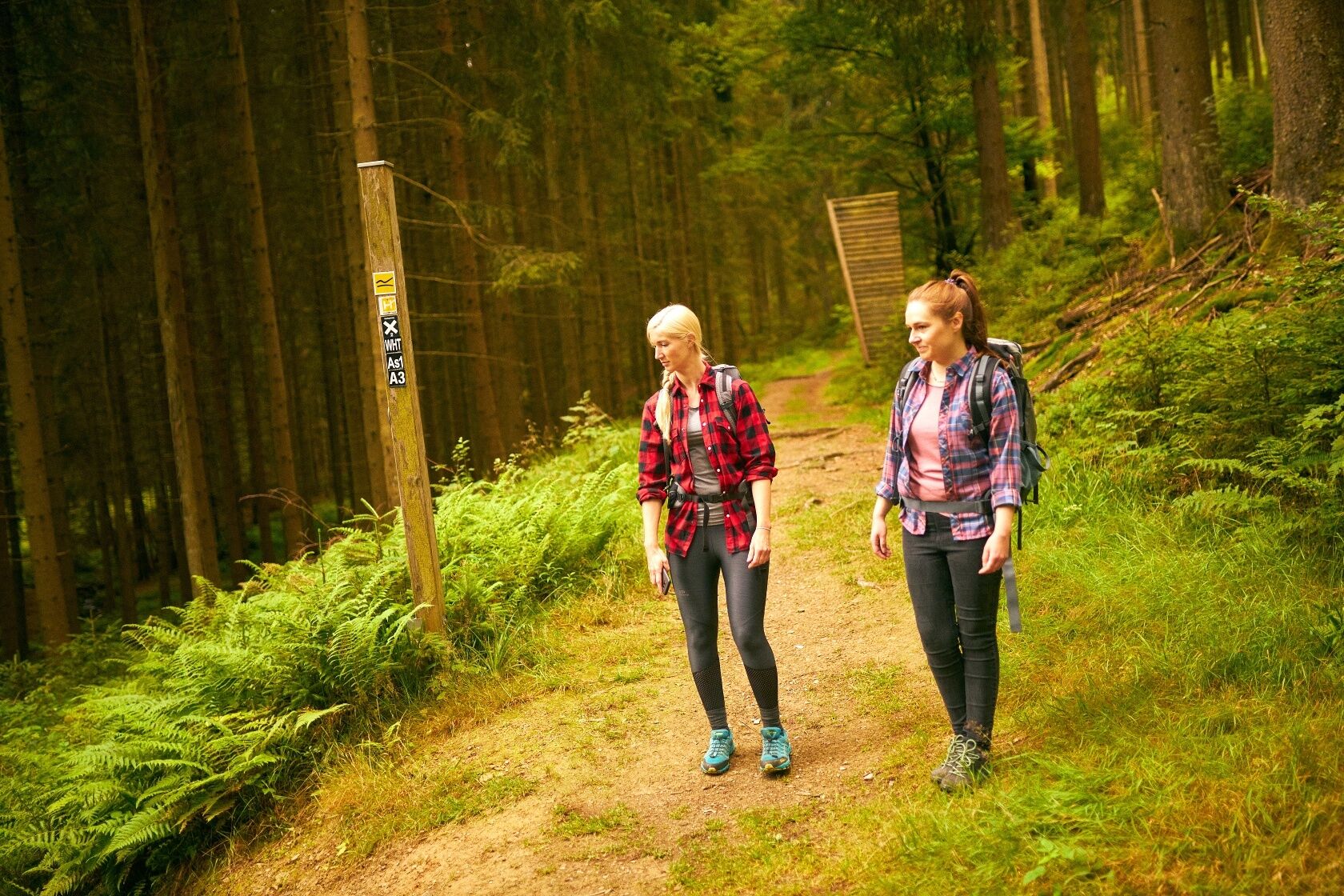
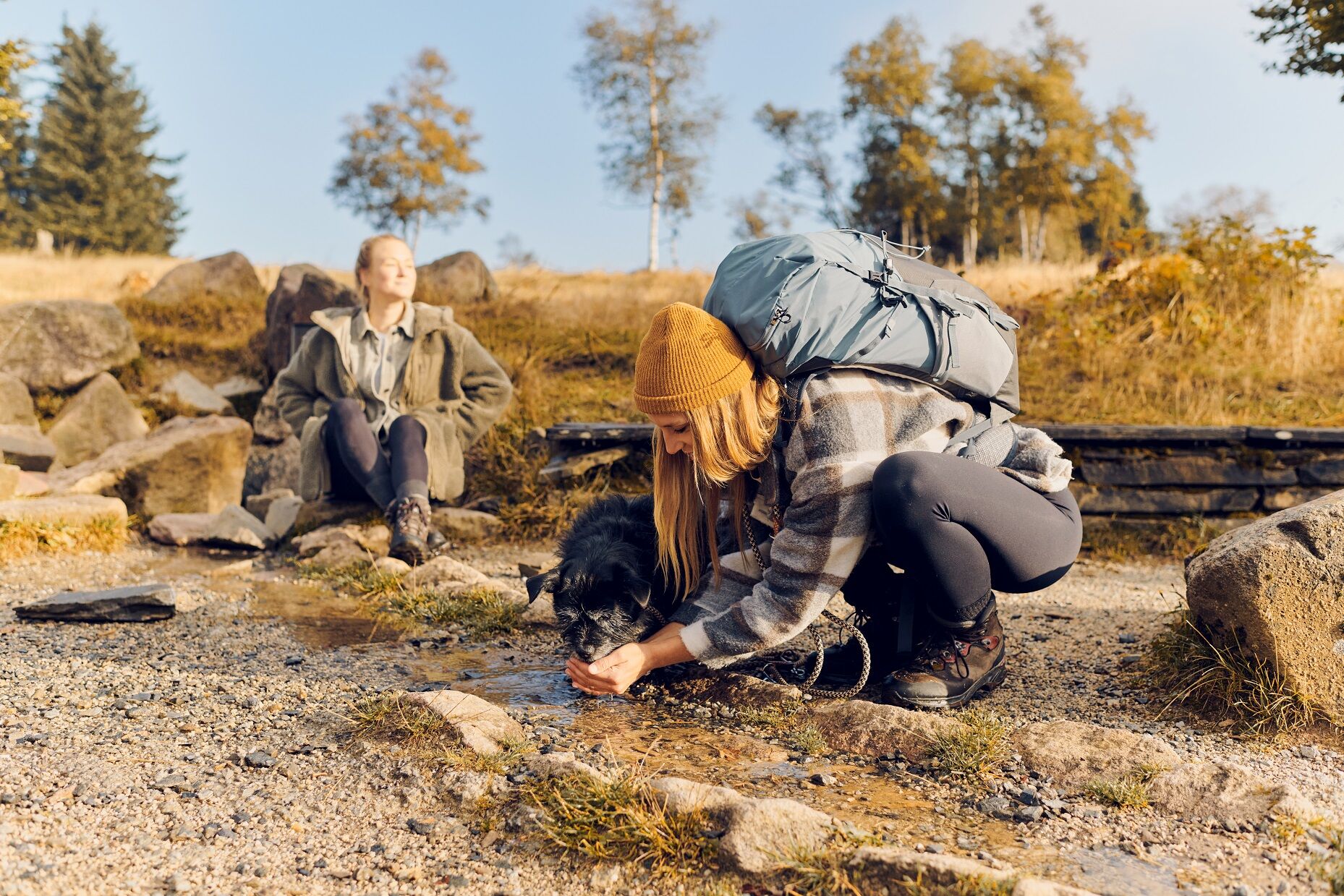

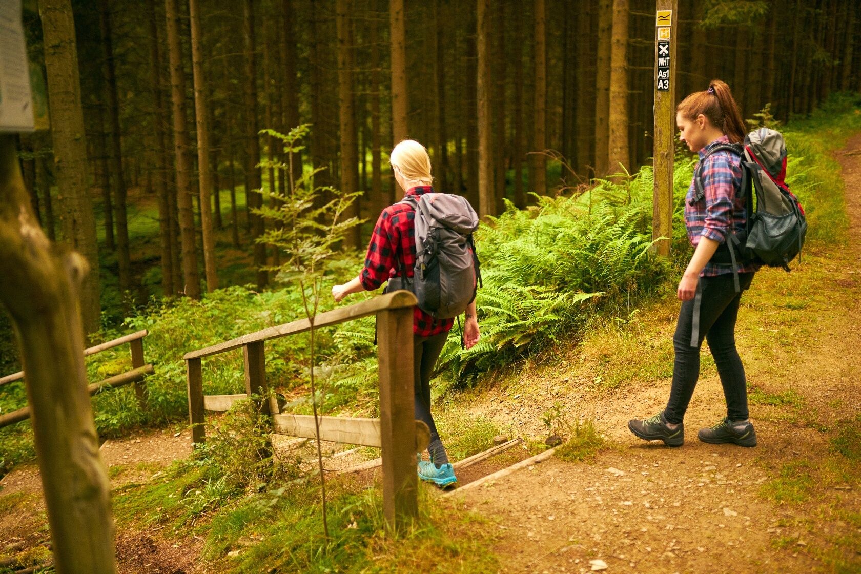

The stage begins at the hiking car park at K 75, which lies just a few meters beyond the exit of Altastenberg when driving from Altastenberg towards the hiking car park Großes Bildchen. You are here directly on the Sauerland-Höhenflug. Now follow the Sauerland-Höhenflug in the direction of Altastenberg/Kahler Asten/Renauwiesen.
Altastenberg, at 809 m, is the highest located town in North Rhine-Westphalia and has long since developed into a spa town with a healing climate. The Sauerland-Höhenflug does not run directly through the town center, but only skirts the northern edge of Altastenberg. From here, the path first leads over the Renauwiese with a shelter and then into the idyllic Renautal. A wooden footbridge takes you dry-footed through the wet lowlands. Slightly uphill along natural paths and following an educational trail from the Sauerland Rothaargebirge Nature Park, the path runs to the car park below the north slope (watch out when crossing L 640!). Here, the Sauerland-Höhenflug meets the Rothaarsteig and runs parallel with it up a path to the Kahler Asten.
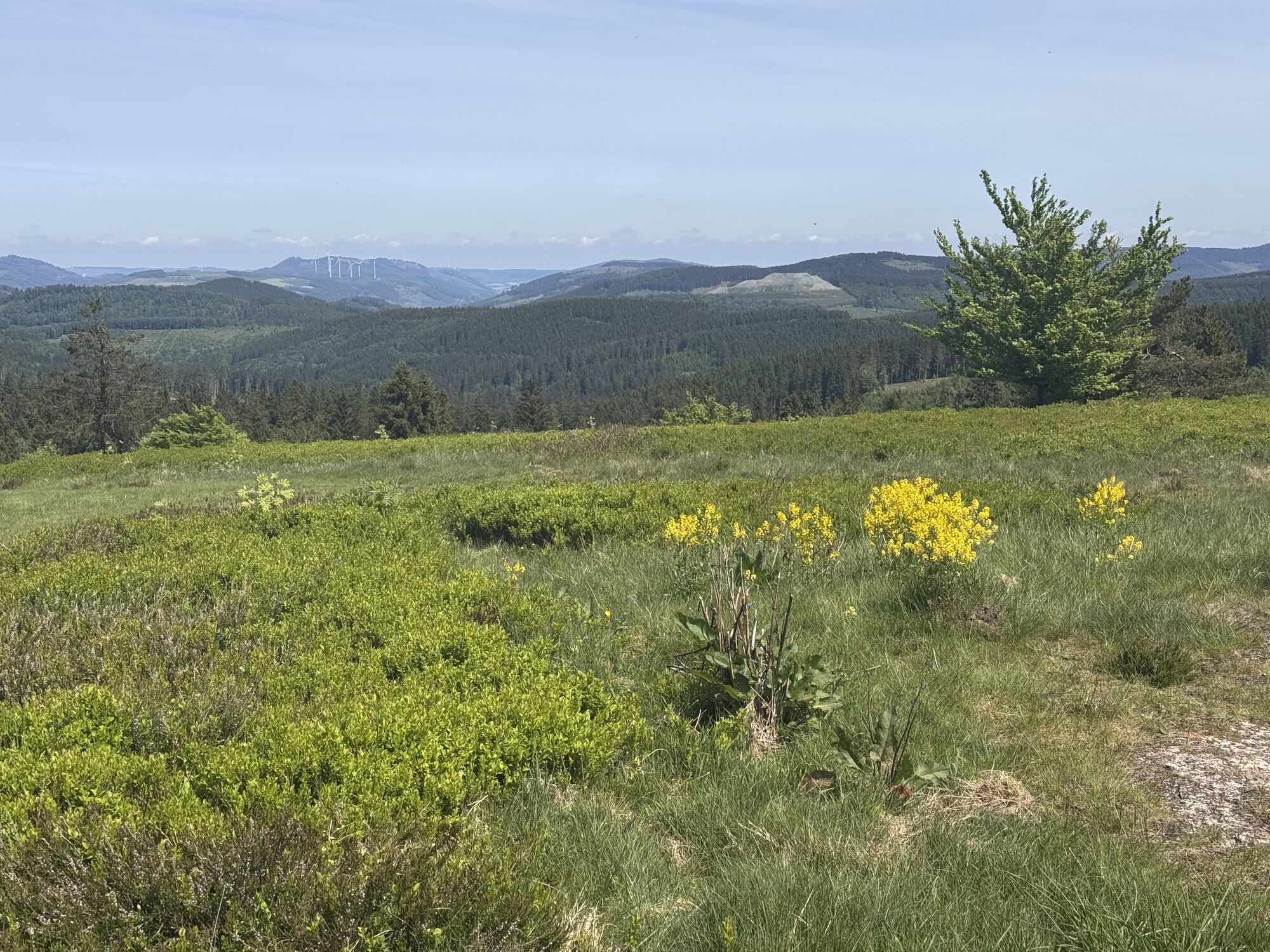
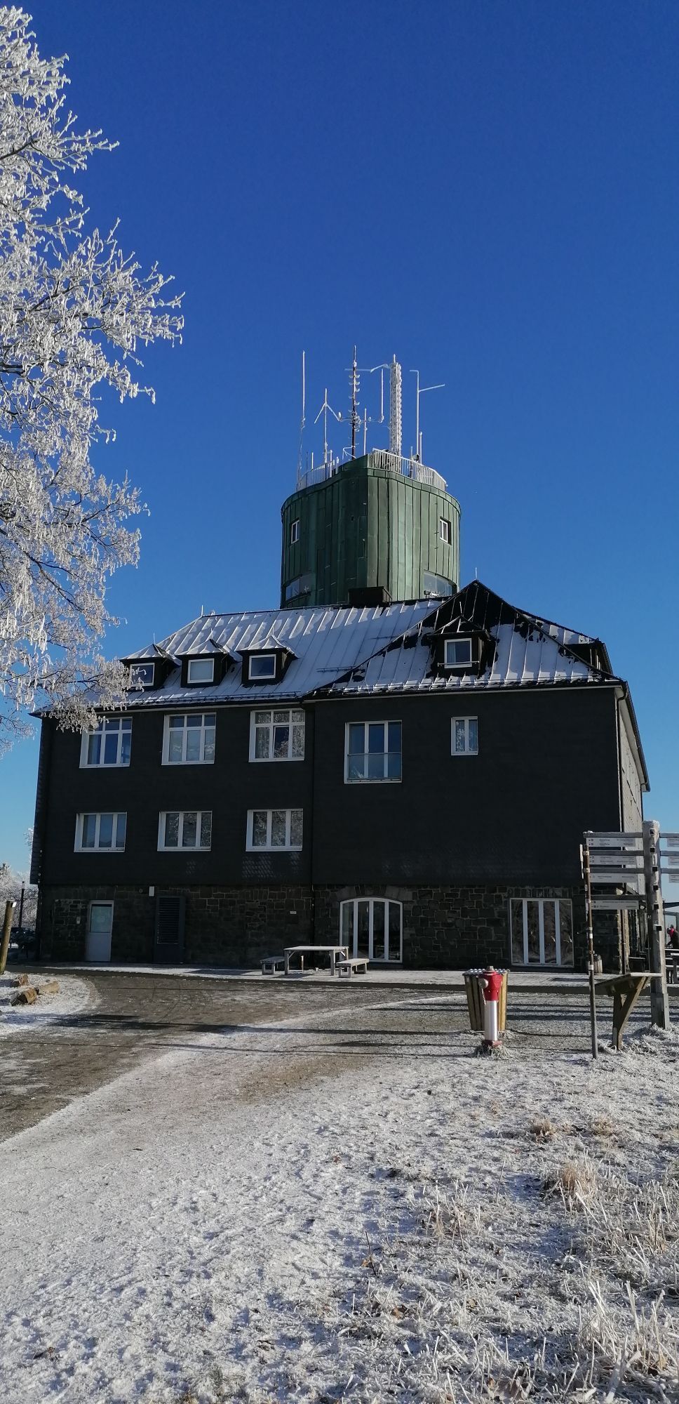
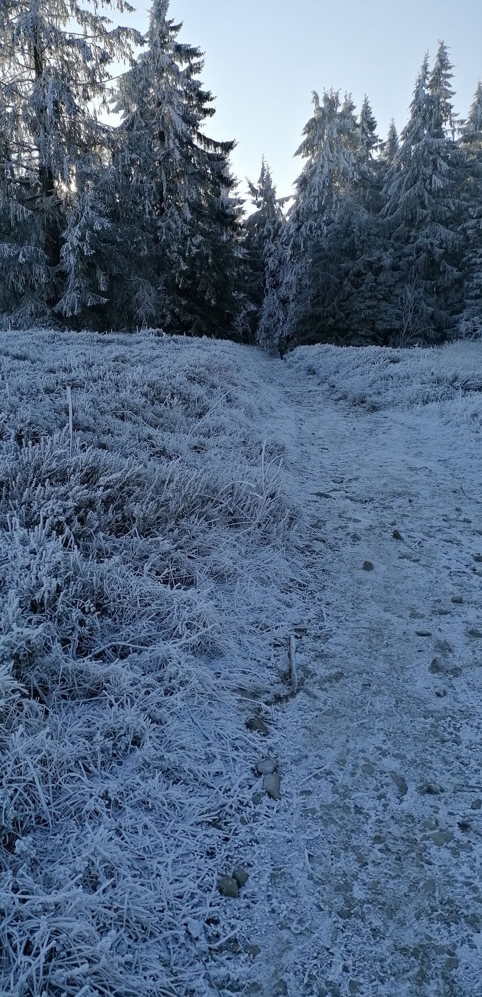
The Kahle Asten, at 841.9 m, is the third highest but probably the best-known mountain in North Rhine-Westphalia. The tower houses, besides a mountain inn, a natural history exhibition and a meteorological station of the German Weather Service. From the viewing platform, you enjoy a magnificent view far beyond the Sauerland! The Heide educational trail runs over the Kahler Asten, informing the hiker about the rare and endangered nature on the Kahler Asten. The vegetation mainly consists of heather, cottongrass, and blueberry. Trees hardly grow in the harsh climate. This high heath is a habitat that has become rare today; among other things, the tree and meadow pipit breed here and it is therefore protected as a nature reserve of international importance (FFH area). Take a short walk on the Kahler Asten to the source of the Lenne before you begin the descent towards Mollseifen (the Höhenflug briefly crosses the car park below the observation tower. Attention: The entry from the car park onto the path of the Sauerland-Höhenflug is difficult to recognize!). The Höhenflug leads steeply downhill to the Helleplatz, crosses it, and then continues to the idyllic and quiet forest village Mollseifen. Along the way, the path passes an impressive geological fault, which makes the fascinating and tremendous primal force of the earth tangible. Those who did not stop on the Kahler Asten should refresh themselves in Mollseifen for the further hike, as there is no other opportunity to stop on this stage until Hallenberg.
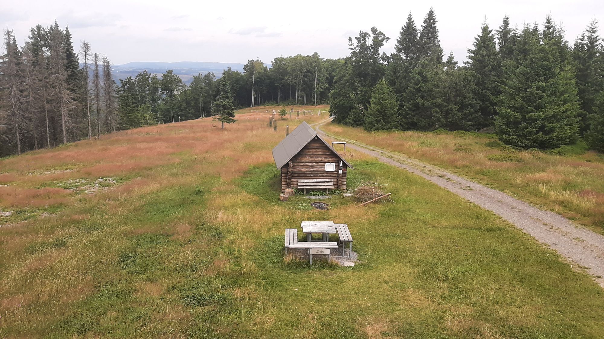
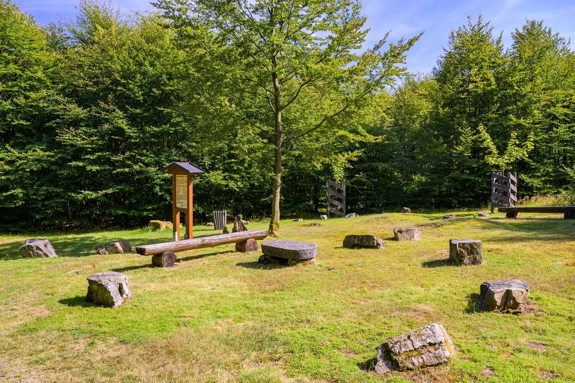
In Mollseifen, the Höhenflug passes the ski hut, then turns left at the hiking cross into a spruce forest. The path first ascends, runs through an area affected by Kyrill again downhill to the crossroads Lose Holz, then ascends again through beech saplings, whose branches form a magnificent canopy, up to the summit of the Siebenahorn. Here at 690 m stands the Femegericht Freie Stuhl (Sauerland soul place), an old court site where crimes such as murder, robbery, or perjury were tried between 1375 and 1580. Seven maples were planted in memory of this historic place. A rest area invites you to take a break.
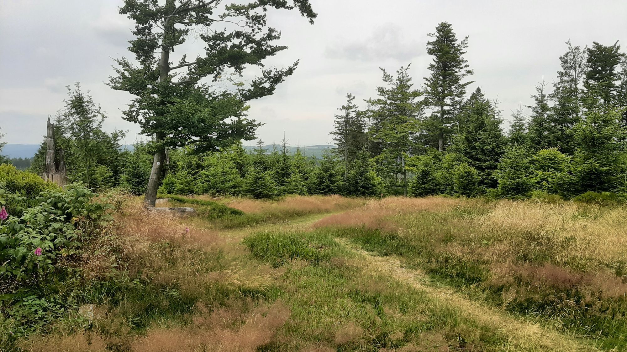
Over natural paths, past the bright forests of the nature reserve around Oster- and Moselkopf, the Höhenflug leads to the Ziegenhelle. The summit can be reached via a narrow, steep path. On the Ziegenhelle, hikers are welcomed by a shelter and a 13-meter high observation tower. First mentions of a tower on the 815 m high Ziegenhelle date back to the 19th century. However, the current observation tower was only inaugurated in 2011 after the previous tower was demolished for safety reasons. From the viewing platform, you can enjoy a magnificent panoramic view. Especially the Kahle Asten and the ski jump at Winterberg are very well recognizable as landmarks.
The further course of the path to the third observation tower, the Heidkopfturm, is also characterized by quiet, natural paths. The Heidkopfturm is located on the summit of the 703 m high mountain of the same name. The Heidkopf forms the easternmost outlier of the Ziegenhelle massif and is at the same time the junction to the Medebach Bay. From its viewing platform, there is a fantastic panoramic view over parts of the Rothaargebirge, over Hallenberg and parts of the Medebach Bay, as well as across to Kellerwald and Habichtswald.
Through forests, the path leads steeply downhill towards Hallenberg. Above Hallenberg, you enjoy one last view of Hallenberg itself and the further course of the Höhenflug towards Medelon on the opposite mountain side. The Sauerland-Höhenflug runs directly through the historic town center of Hallenberg. Particularly impressive is the half-timbered ensemble around the parish church St. Heribert with the Petrus fountain and the Kump. The stage ends at Heinrich-Hugo-Platz on the B 236. Here there are parking spaces as well as a bus stop.
Da
No special equipment required
Hallenberg: From Winterberg via B 236.
In Hallenberg: The Heinrich-Hugo-Platz stop is located on B 256 (Merklinghauser Straße) near where the Sauerland-Höhenflug crosses this street. To reach the Höhenflug trail, follow B 256 south to the intersection with Talweg. You can reach the stop via public transport from Olsberg (bus 356), Medebach (bus 361), and Allendorf (bus 364).
More information at http://www.rlg-online.de.
In Hallenberg: In the town center at Heinrich-Hugo-Platz, Mecklinghauser Str. 35, 59969 Hallenberg, GoogleMaps coordinates: 51.109531,8.624277
Da
Service and booking hotline of the Sauerland-Höhenflug: 02974 - 202 199
Food and accommodation options:
Hotel Sauerländer Hof
Merklinghauser Str. 27
59969 Hallenberg
Phone: 02984 - 421
Email: hotel@sauerlaender-hof.de
www.sauerlaender-hof.de
Hotel Diedrich
Nuhnestr. 2
59969 Hallenberg
Phone: 02984 - 9330
Email: mail@hotel-diedrich.de
www.hotel-diedrich.de

Spletne kamere s turneje
-
Kapellenhang / Altastenberg
-
Funpark/Osthang
-
Funpark Tele
-
Sahnehang
-
Bad Berleburg - Diedenshausen
-
Brembergkopf
-
Brembergkopf
-
Brembergkopf
-
Brembergkopf
-
Brembergkopf
-
Altastenberg
-
Postwiese Neuastenberg
-
Skilanglaufzentrum Hochsauerland
-
Erlebnisberg Kappe
-
Erlebnisberg Kappe
-
Erlebnisberg Kappe
-
Erlebnisberg Kappe
-
Erlebnisberg Kappe
-
Erlebnisberg Kappe
-
Astenturm
-
Sesselbahn Rauher Busch
-
Winterberg Bobhaus
-
Winterberg Sprungschanze
-
Kappe
-
Winterberg Möppi
Pridobite vpogled
Vedno v živo na mestu z več kot 9.500 spletnimi kamerami. bergfex Kot uporabnik Pro si lahko zdaj ogledate ustrezne spletne kamere za številne izlete v aplikaciji izleti iz. Tako si lahko neposredno ogledate trenutne razmere.
Priljubljeni izleti v okolici
-
5.0
Der "Fabelhafte Elfensteig" in Winterberg-Züschen
Pohodništvo 4.45 km -
5.0
Winterberg - rund um den Kreuzberg
svetlobaPohodništvo 10.9 km -
5.0
Rundwanderung Ruhrquelle Winterberg
svetlobaPohodništvo 3.74 km -
5.0
Golddorf Route Westfeld / Rothaarsteig-Spur "Kahler Asten-Steig"
težkoPohodništvo 16.0 km -
5.0
Rothaarsteig-Spur - Grönebacher Dorfpfad
srednjaPohodništvo 10.6 km -
5.0
Willingen (W6)
srednjaPohodništvo 12.9 km -
Winterberger Hochtour
težkoTematska pot 90.7 km -
4.5
Golddorf-Route Holthausen
srednjaPohodništvo 14.3 km -
5.0
Von Schanze über den Rothaarsteig nach Jagdhaus (ÖPNV-Tour)
srednjaPohodništvo 14.3 km -
5.0
Rothaarsteig-Spur Sorper Panoramapfad
srednjaPohodništvo 12.7 km
Pohodništvo in sledenje


Ne zamudite ponudb in navdiha za naslednje počitnice
Vaš e-poštni naslov je bil dodan na poštni seznam.





