







Beringhauser Aussichten
Magnificent views into the expanse of the Hoppecke Valley and to the Stiftskirche Obermarsberg as well as to the Madfelder and Rösenbecker heights, the Diemelsee, and the Waldecker Upland await us on the...
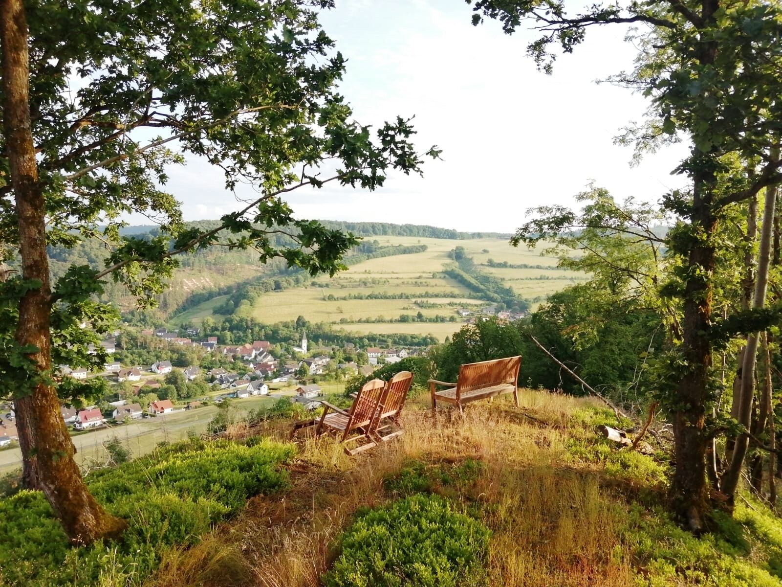
Magnificent views into the expanse of the Hoppecke Valley and to the Stiftskirche Obermarsberg as well as to the Madfelder and Rösenbecker heights, the Diemelsee, and the Waldecker Upland await us on the theme hiking trail "Beringhauser Aussichten". Viewing platforms, panoramic boards, forest sofas, and panoramic windows invite you to linger and enjoy. The hike leads past the Jewish cemetery Padberg / Beringhausen, which can be glimpsed. At the hiking shelter by the foot bath, not only do warm feet receive a cool relaxation, but there is also a hidden refreshment for the throat.

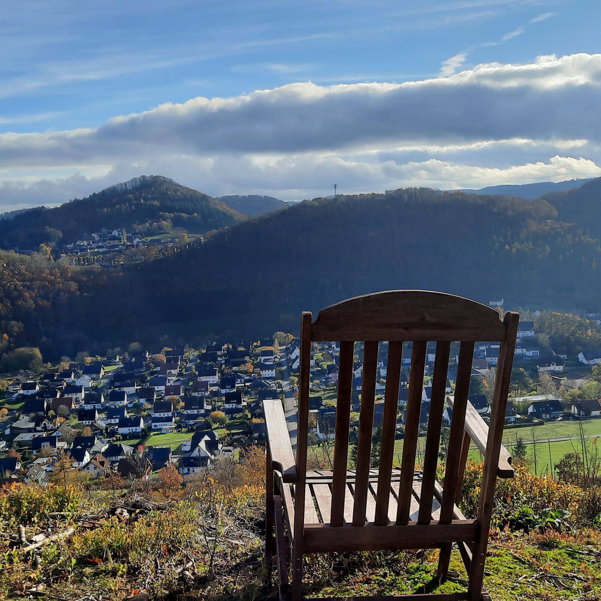
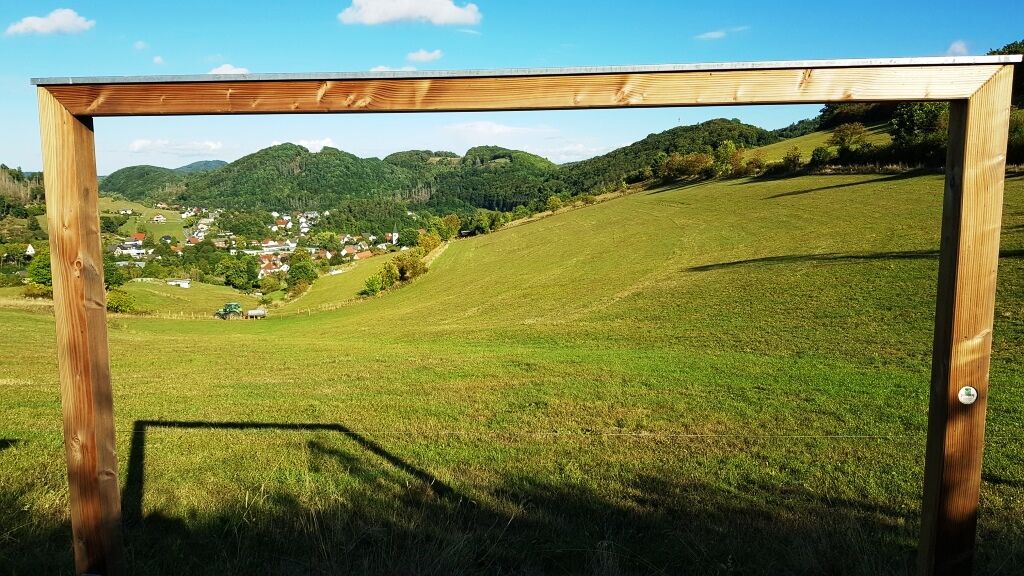
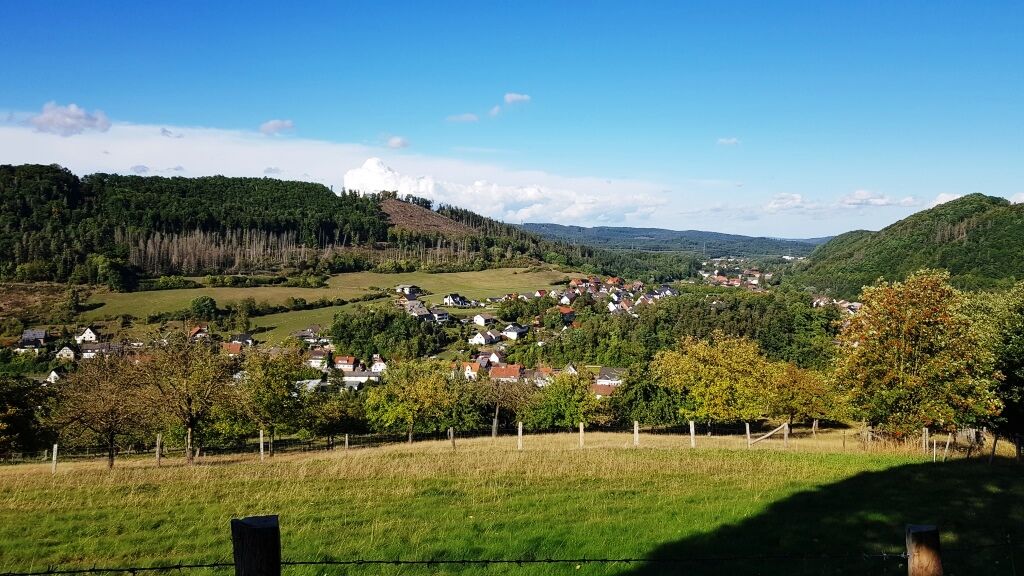
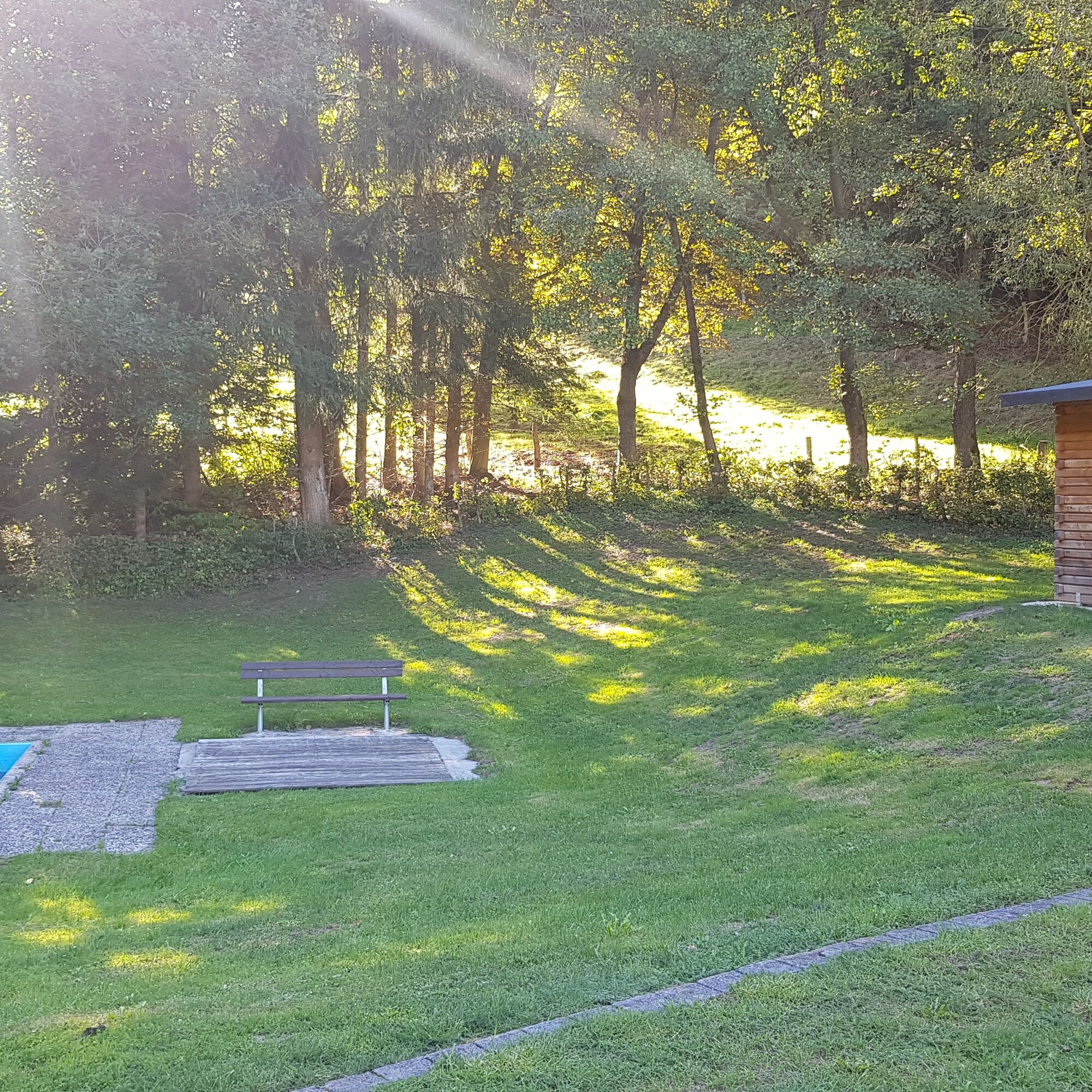
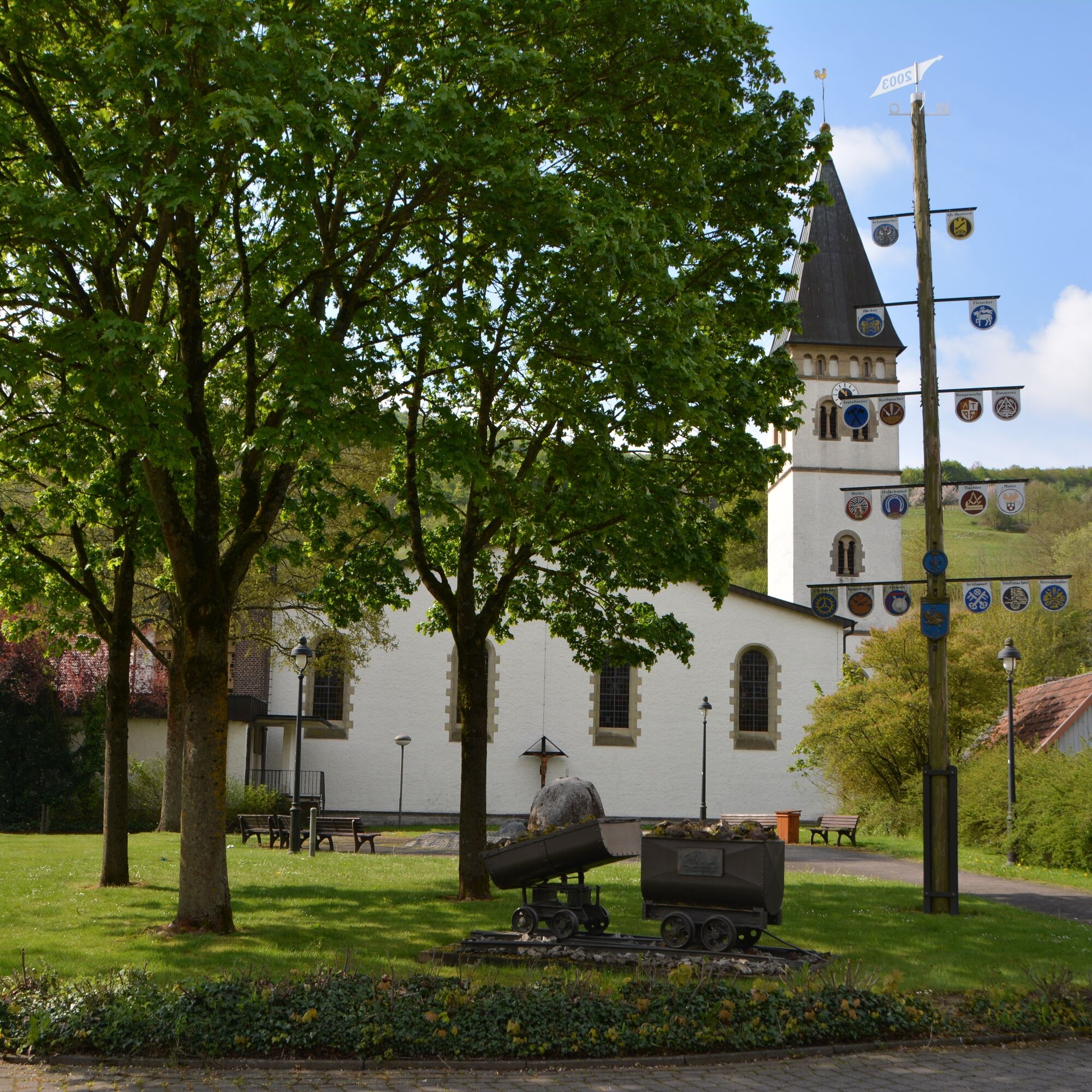
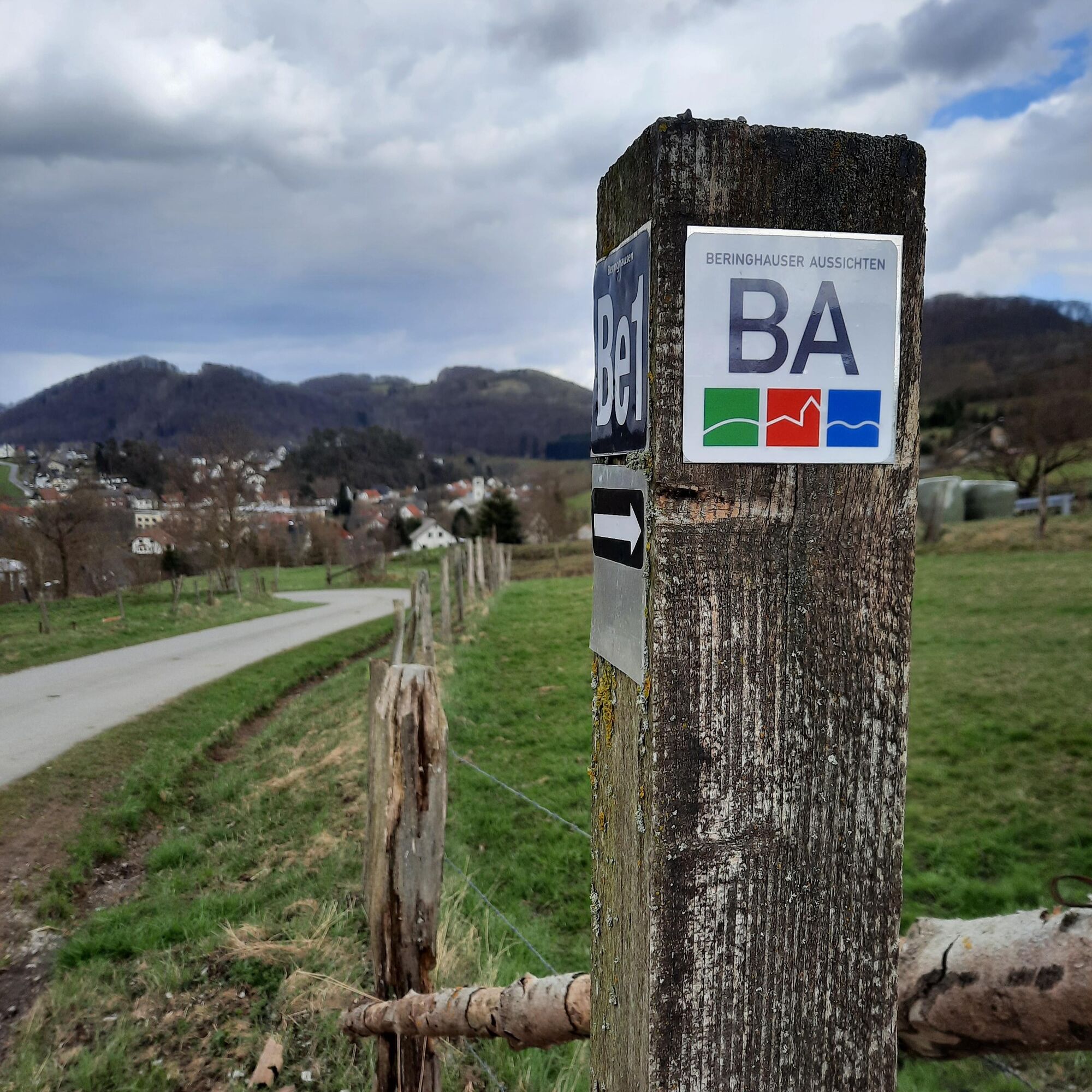

The start of the theme hiking trail is the village square at St. Markus Church in Beringhausen. After a greeting by the everyday character "Berta von Beringhausen," the circular route begins in the direction of Padberg and then branches off into the Leiental. At various points, the hiker can view the Hoppecke Valley and surrounding mountains from different perspectives. The route then leads back to the village square via Josefsstadt.
Hiking trails mostly run away from towns and settlements, and every hiker has at some point wondered what would happen if an emergency occurred now. How can I be found here? Where am I exactly? Can the emergency services reach me?
The app "Help in the Forest" currently displays over 59,000 rescue points on a map across almost all federal states of Germany and shows users the distance to the surrounding rescue points. The database is continuously expanded. The fire department, police, and paramedics know the individual rescue points and access routes; in some cases, the Help in the Forest app is also used there to locate people who need rescuing. So if the identifier of the nearest rescue point is given when placing the emergency call, help can be provided quickly.
The Beringhausen district has a request-stop train station and is accessible by bus.
There are sufficient parking spaces available at St. Markus Church in Marsberg-Beringhausen.
Information about Marsberg is available at https://www.tourismus-marsberg.de/.
Pridobite vpogled
Vedno v živo na mestu z več kot 9.500 spletnimi kamerami. bergfex Kot uporabnik Pro si lahko zdaj ogledate ustrezne spletne kamere za številne izlete v aplikaciji izleti iz. Tako si lahko neposredno ogledate trenutne razmere.
Priljubljeni izleti v okolici
-
4.8
Rundwanderung Diemelsee
svetlobaPohodništvo 8.54 km -
4.0
Willingen (W8)
srednjaPohodništvo 12.9 km -
5.0
Uplandsteig - THE Original -
težkoPohodništvo v daljavo 66.1 km -
5.0
Briloner Kammweg
težkoPohodništvo v daljavo 47.9 km -
5.0
Upländer meditation path
svetlobaPohodništvo 17.6 km -
4.0
Goldspur Eimelrod (Quality route)
srednjaTematska pot 8.08 km -
Trekking site close to heaven circular route 1
težkoPohodništvo 19.6 km -
Diemelsee Runde
srednjaPohodništvo 12.0 km -
Fünf-Bäche-Weg
srednjaPohodništvo 25.6 km -
Legend and Story Trail Obermarsberg
srednjaPohodništvo 2.63 km
Pohodništvo in sledenje


Ne zamudite ponudb in navdiha za naslednje počitnice
Vaš e-poštni naslov je bil dodan na poštni seznam.





