


Stage 1: "Wanderbares M" Discover Meinerzhagen's most beautiful corners
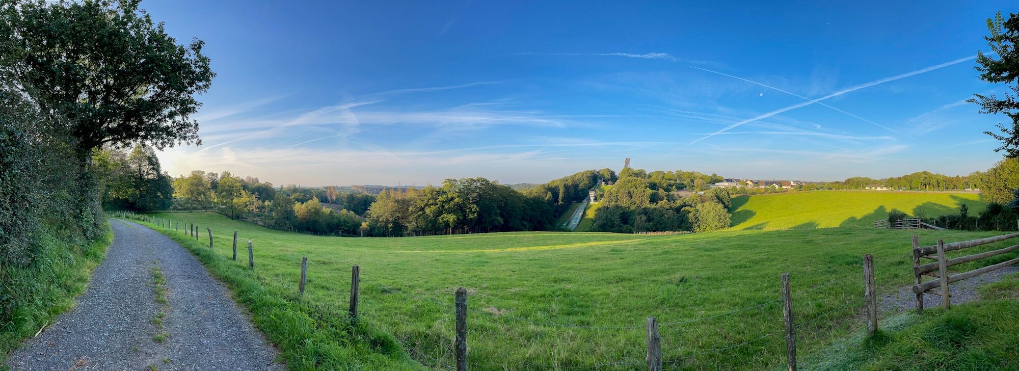
Enjoy nature and discover the most beautiful corners of Meinerzhagen on foot: all of this is offered by our stage route "Wanderbares M". The approximately 50 km long hike, divided into 4 (half-)day stages,...
Enjoy nature and discover the most beautiful corners of Meinerzhagen on foot: all of this is offered by our stage route "Wanderbares M". The approximately 50 km long hike, divided into 4 (half-)day stages, leads in the shape of an "M" past Wasserschloss Badinghagen, the Meinhardus Mattenschanzen (the landmark of Meinerzhagen), the Fürwiggetalsperre, through the Quellental and the Ebbemoore to the heights of the Ebbegebirge and the Nordhelle (663 m above sea level).
Afterwards, it goes downhill past Knochenmühle and the chapel St. Maria Magdalena (Grotewiese) to the idyllic Listertalsperre. Those who have not had enough can discover more highlights on one of the numerous circular trails connected to the "Wanderbares M". At some points along the route, you can listen to exciting legends of the "enchanting legend world Oben an der Volme".
The route follows already marked hiking trails and is additionally marked with a white "M" on a blue-green striped circle.

Stage 1: Heed hiking car park - Stoltenberg hiking car park (xyz km)
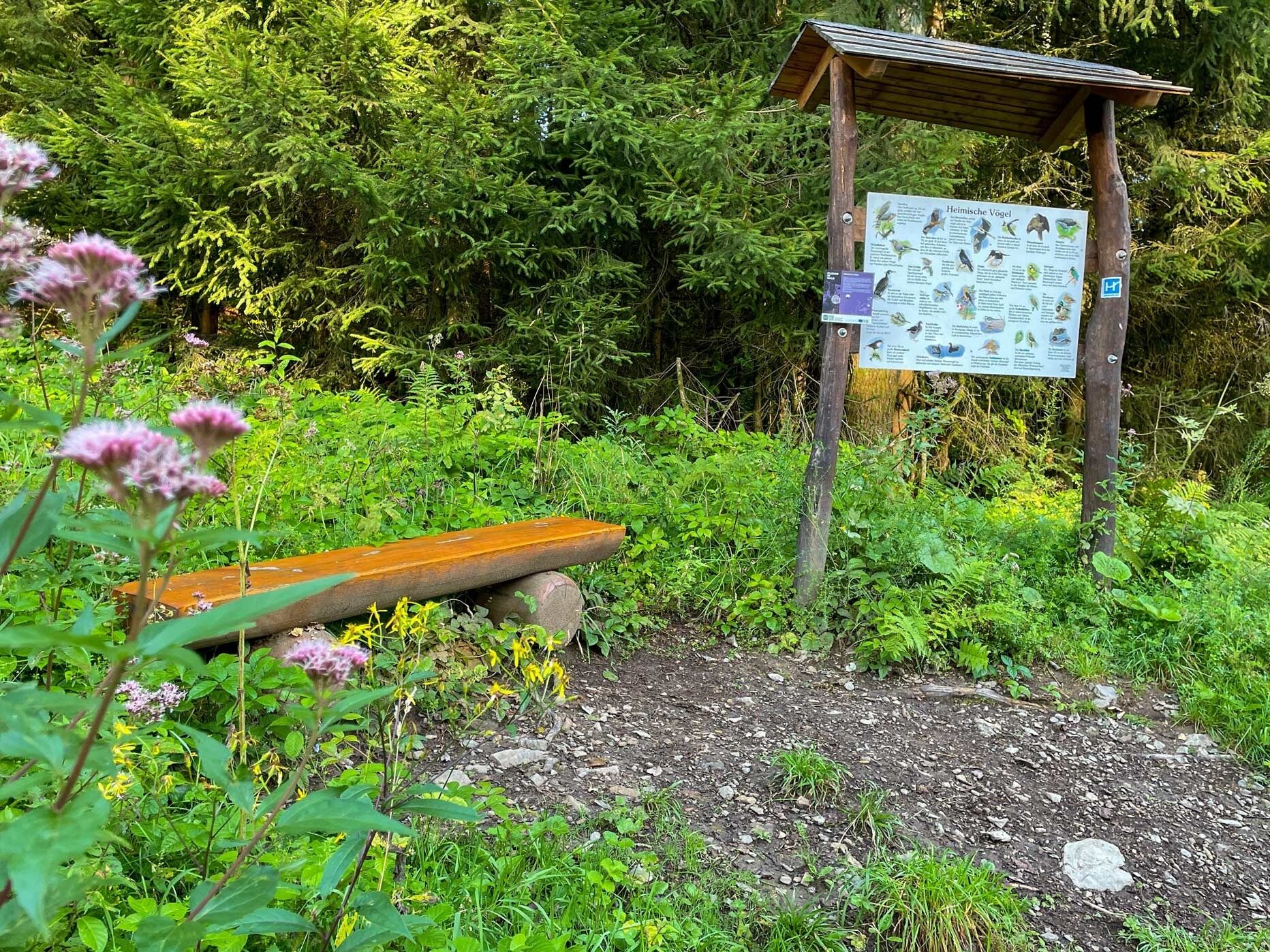
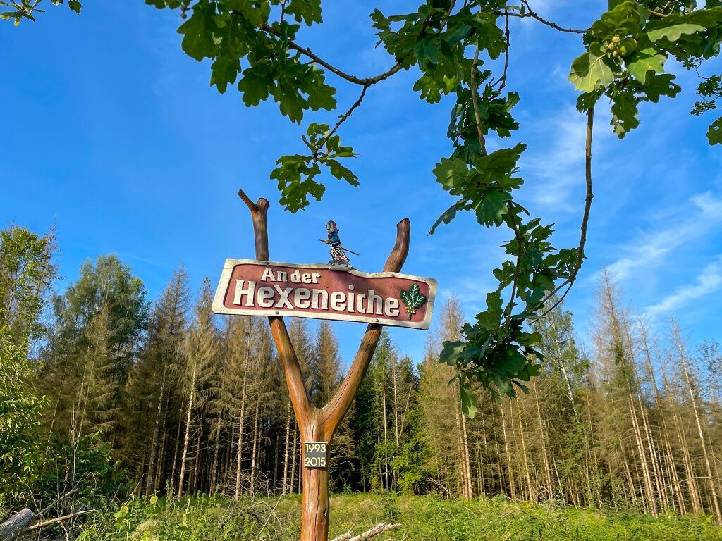
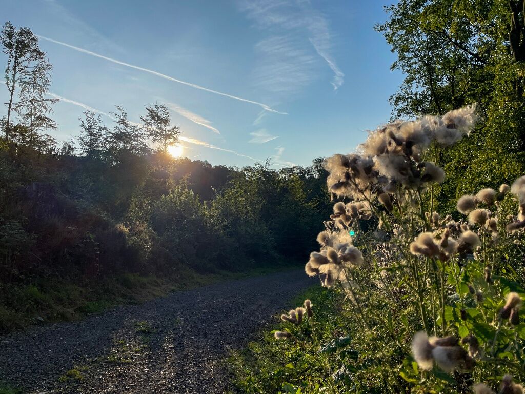
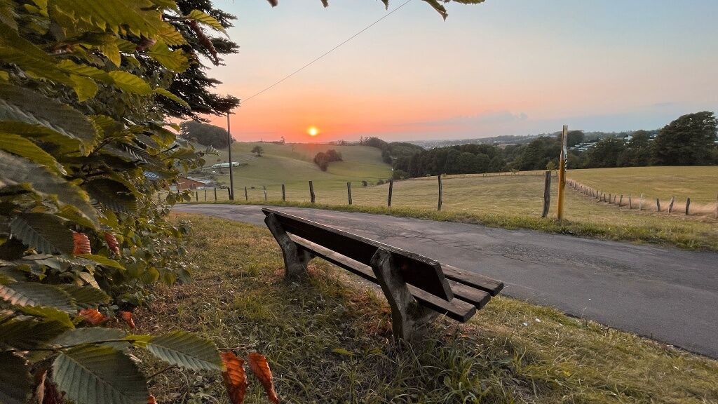
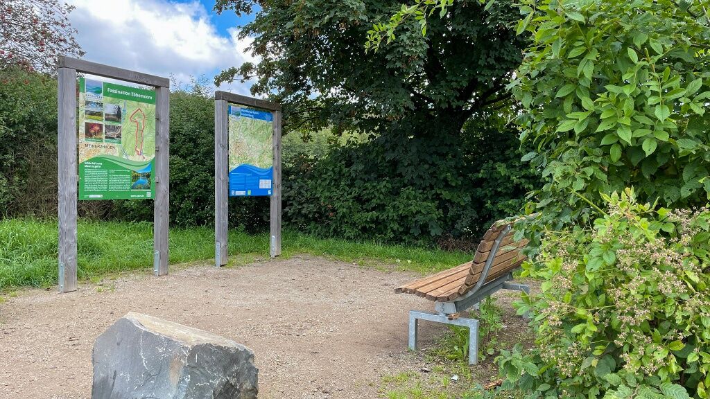
We start at the Heed hiking car park in the south of Meinerzhagen and initially follow the marking A1. Incidentally, the Forest Activity Trail also starts here; a great round around the Heedberg. After a short time, we reach the Hexeneiche with a legend site, after which we soon turn left and now follow the marking of the circular path on the Sauerland Höhenflug (white H on blue background). We cross a road, pass Wasserschloss Badinghagen, and eventually reach uphill the Schallershaus hiking car park with a fantastic view of the Meinhardus Mattenschanzen. Here is also the starting portal to the quality long-distance hiking trail Sauerland Höhenflug and a legend site of the "Enchanted Legend World Oben an der Volme" with a wooden shepherd figure.
Here you also have the option to hike the Meinerzhagen city walk or take the complete circular route on the Sauerland Höhenflug "From water we learned it" as an additional circular tour.
From here we now follow the marking of the right-pointing triangle. To get to the Fritz-Paulmann-Weg, we follow the path that leads us over a pedestrian island to the other side of the road. On asphalted ground, along the edge of the town, we soon meet the source of the Volme. Continuing along the small road, the path crosses the main road again. Here we keep left, cross two bridges, and reach the small district of Willertshagen, where we reach the end of the first stage, the Stoltenberg hiking car park. Here is another legend site.
Different terrains await us on this hike. Sturdy hiking shoes and weather-appropriate clothing are recommended. Hiking provisions (food & drinks) should be taken along.
First aid: In an emergency, dial the emergency number 112. Provide the rescue point number. Rescue points are marked entry points in the forest for emergency vehicles. If the nearest rescue point is unknown, your location can be retrieved directly via AML (Advanced Mobile Location) during the emergency call.
All information is available here: WANDERBARES M
Heed hiking car park - starting point stage 1
Stoltenberg hiking car park - starting point stage 2
Quellental hiking car park - starting point stage 3
Windebruch car park - endpoint (or starting point if you walk the route the other way round)
All information about the "Wanderbares M" can be found here:
Circular routes along the way:
- CIRCULAR path on the Sauerland Höhenflug
- City walk,
- Forest Activity Trail,
Priljubljeni izleti v okolici
-
4.0
Rundweg an der Versetahlsperre
srednjaPohodništvo 10.9 km -
5.0
Um die Nordhelle
srednjaPohodništvo 6.81 km -
Talsperren Genkel und Agger
svetlobaMountainbike 22.5 km -
Plettenbergs größtes Schwimmbecken: Die Oestertalsperre
srednjaPohodništvo 7.23 km -
4.0
Drolshagen A4 varied and relaxing
srednjaPohodništvo 10.3 km -
Kierspe-Rönsahl: Circular hike along the Wipper and Lingesetalsperre
srednjaPohodništvo 10.9 km -
Herscheid - Plettenberg: Museumseisenbahntour mit Versetalsperre
težkoKolesarjenje 47.7 km -
Nordic Walking (black)
težkoNordic Walking 10.0 km -
Rund um die Schnipperinger Mühle
svetlobaPohodništvo 5.29 km -
Circular hiking trail Meinerzhagen Stoltenberg (A5) - thematic trail "Moor path"
srednjaTematska pot 4.64 km

Pohodništvo in sledenje


Ne zamudite ponudb in navdiha za naslednje počitnice
Vaš e-poštni naslov je bil dodan na poštni seznam.