







Andreasberg - AB4 - Hike to the "Plästerlegge" waterfall
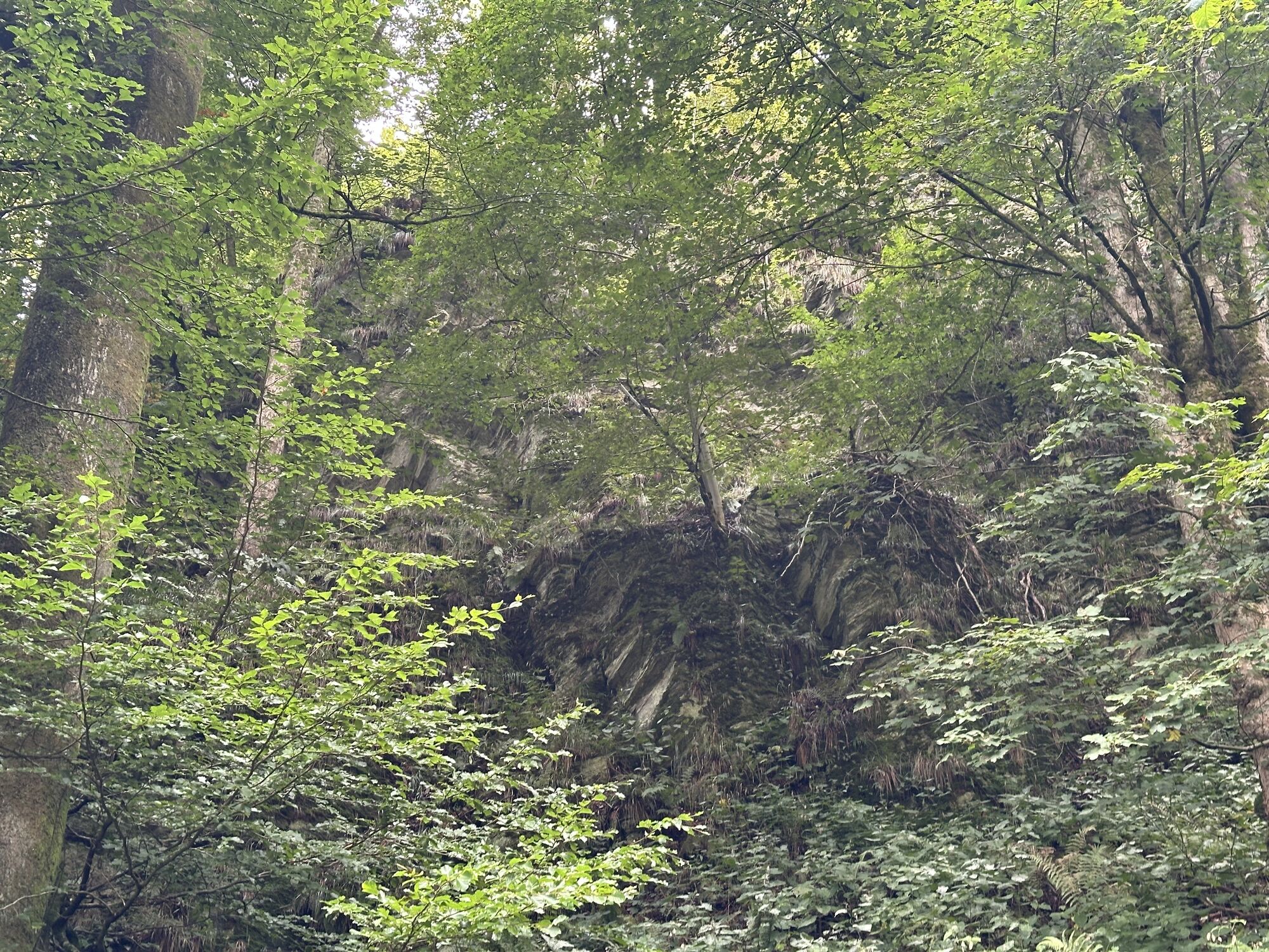
The circular route leads from the Schützenhalle Andreasberg past the Fort Fun Adventure Park to the "Plästerlegge" waterfall. From there, it goes on the other side around the Hülsberg, through the small...
The circular route leads from the Schützenhalle Andreasberg past the Fort Fun Adventure Park to the "Plästerlegge" waterfall. From there, it goes on the other side around the Hülsberg, through the small village of Haardt and back to Andreasberg.

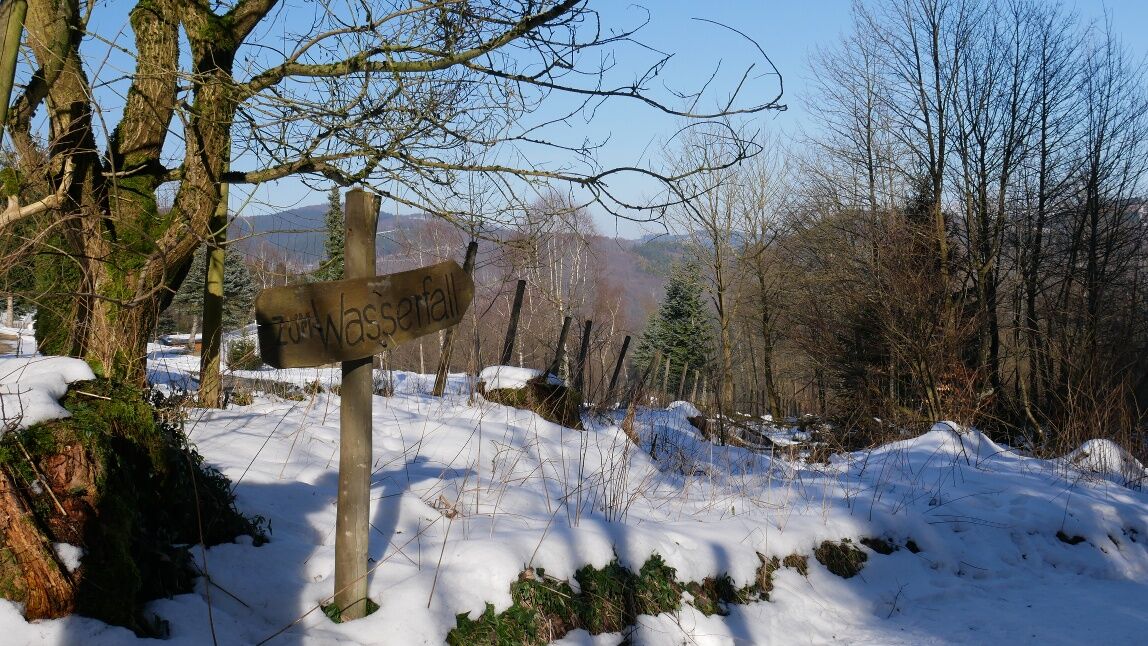
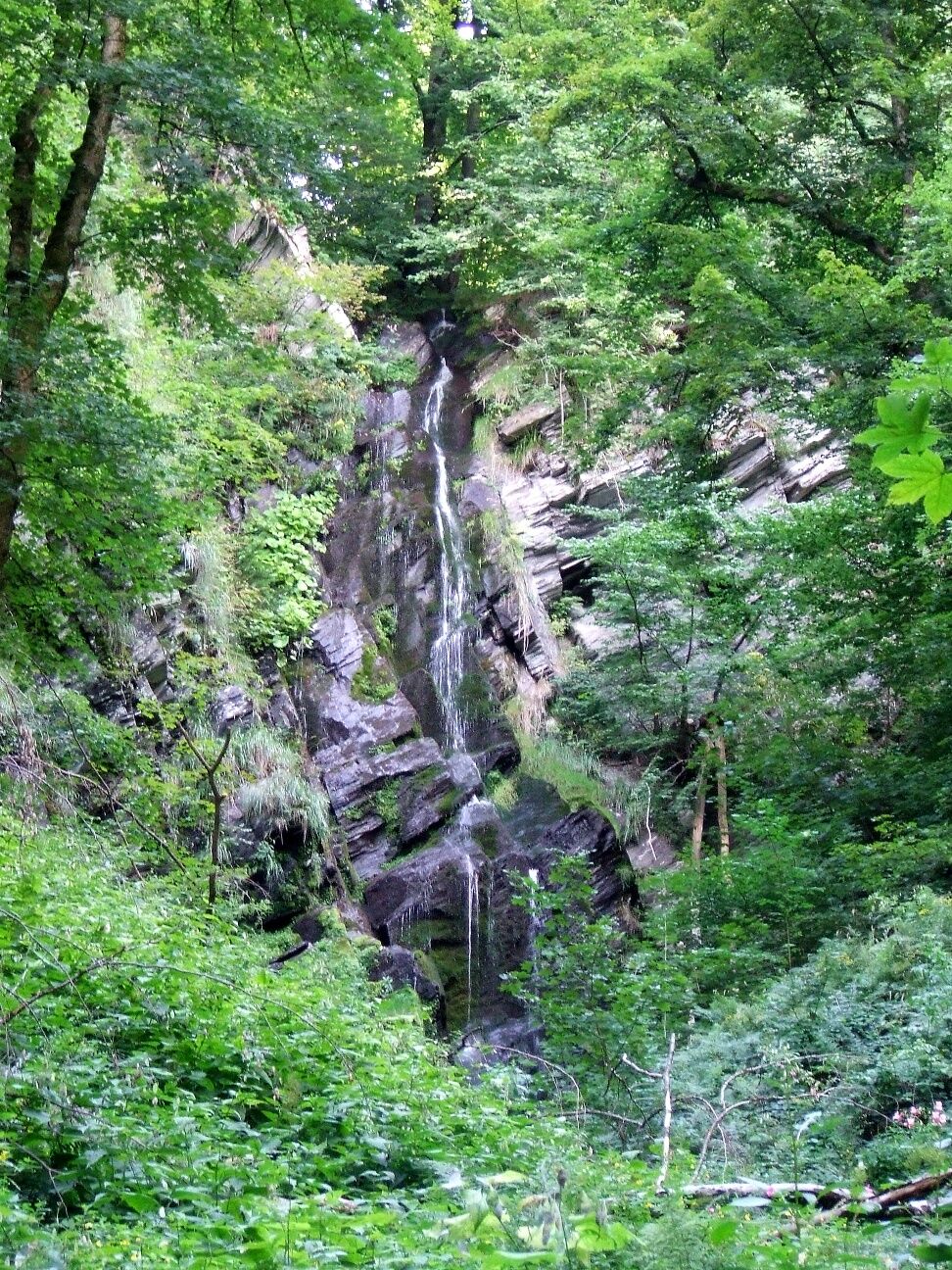
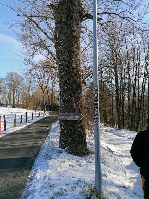
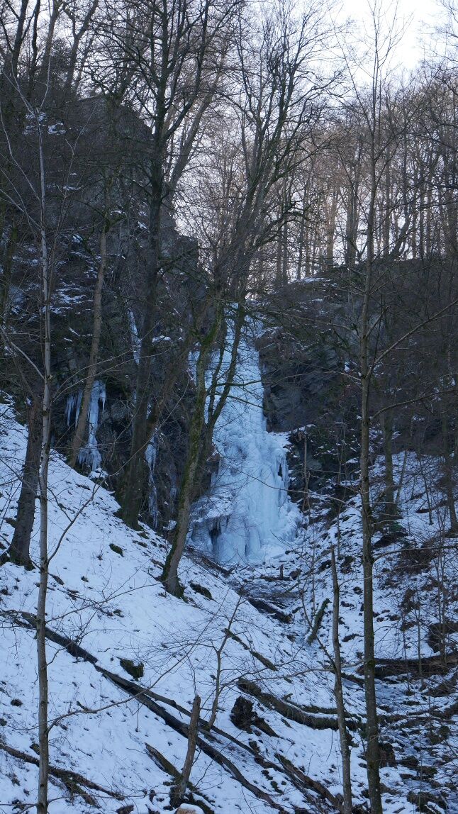
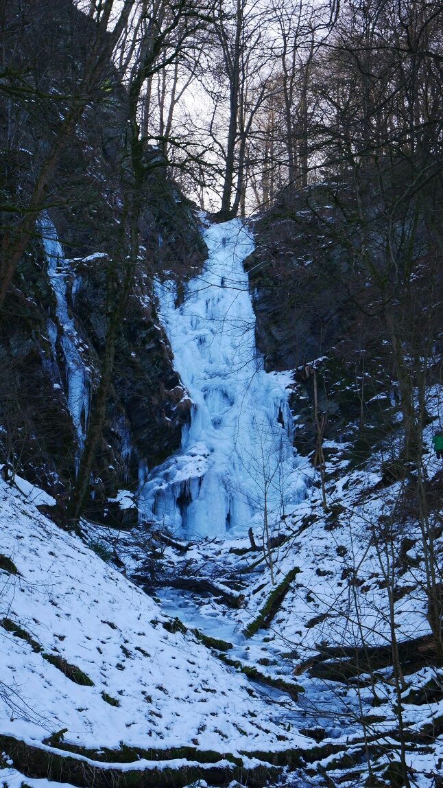
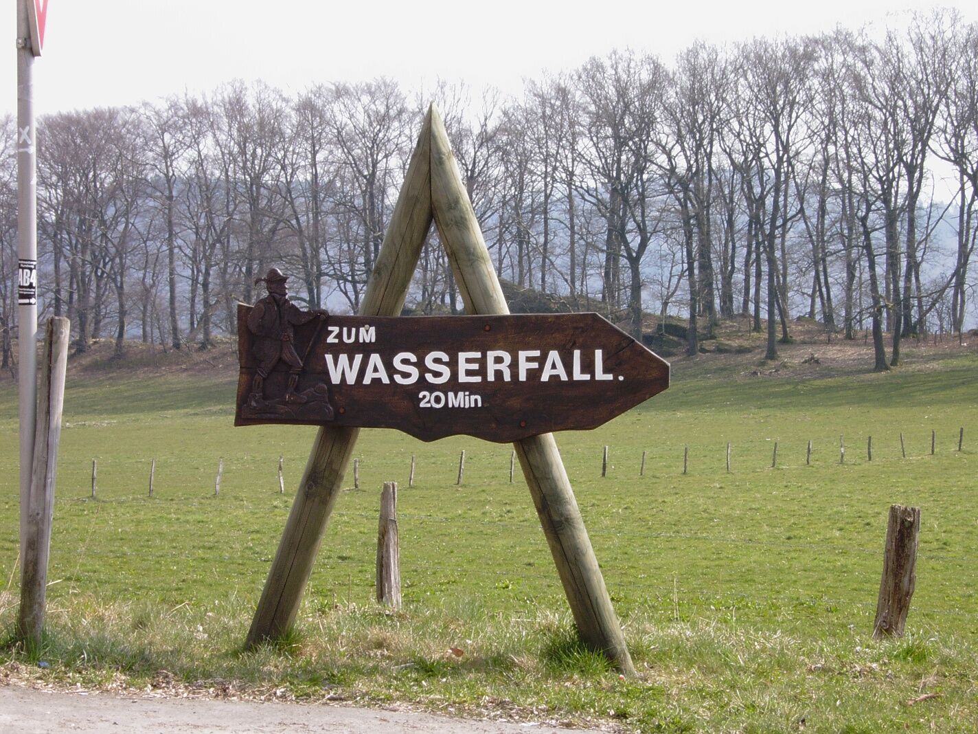
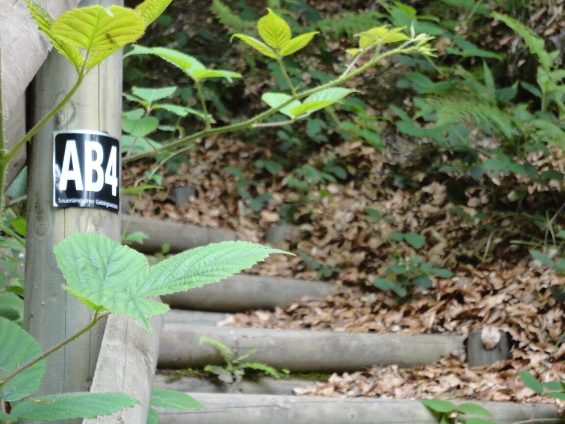
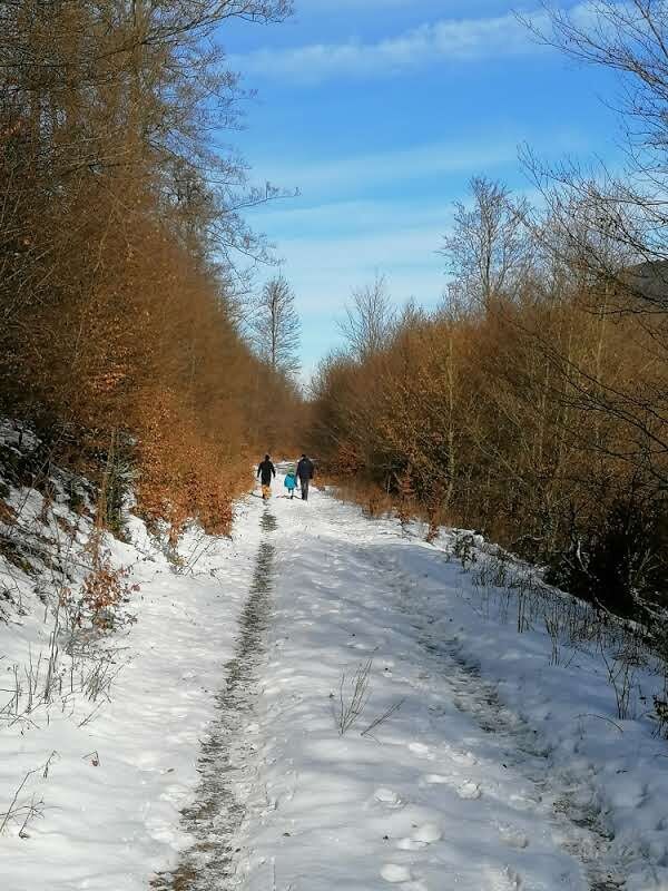
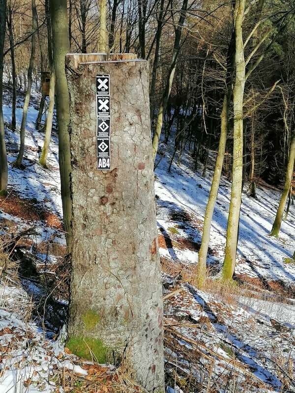

The hike begins at the Schützenhalle in Andreasberg. Walking time approx. 3 hours. The path is continuously marked with AB4.
We walk the village street southwards and then leave the town via the street "Oben auf der Wiemhufe." Along the edge of the forest we walk to the village Wasserfall, passing the Fort Fun Adventure Park. In Wasserfall, a sign directs us to the "Plästerlegge" waterfall.
We follow this sign into the forest and pass a campsite. The waterfall is the southernmost point of the hike. Now it goes steadily north through the forest until we reach the small village Hardt.
We follow the path through the fields and then pass through a short section of forest before reaching the road that leads us back to Andreasberg.
Tip:
Between the waterfall and Haardt, you can discover on the left side an old miner's path. If you follow it, you will find old beeches carved with the stations of the cross. These mark the difficult route of the miners to the "Aurora" shaft on the current grounds of the Fort Fun Adventure Park. Some stations are no longer present; at some points, new stations have been set up.
Da
Sturdy footwear and weather-appropriate clothing. Possibly hiking poles.
Parking lot at the Schützenhalle Bestwig-Andreasberg
Alternative: Parking lot in the center of Bestwig-Wasserfall. There is also a hiking board with a map and route descriptions.
Between the waterfall and Haardt, an old miner's path crosses the way. If you follow it, you will find old beeches carved with the stations of the cross.
Pridobite vpogled
Vedno v živo na mestu z več kot 9.500 spletnimi kamerami. bergfex Kot uporabnik Pro si lahko zdaj ogledate ustrezne spletne kamere za številne izlete v aplikaciji izleti iz. Tako si lahko neposredno ogledate trenutne razmere.
Priljubljeni izleti v okolici
-
4.7
Bruchhauser Steine B1
srednjaPohodništvo 11.8 km -
5.0
Circular route Skywalk/Hill - Ettelsberg
svetlobaPohodništvo 4.10 km -
4.5
Bruchhausener Steine
težkoPohodništvo 5.15 km -
5.0
Winterberg - rund um den Kreuzberg
svetlobaPohodništvo 10.9 km -
5.0
Rundwanderung Ruhrquelle Winterberg
svetlobaPohodništvo 3.74 km -
4.0
Willingen (W8)
srednjaPohodništvo 12.9 km -
5.0
Golddorf Route Westfeld / Rothaarsteig-Spur "Kahler Asten-Steig"
težkoPohodništvo 16.0 km -
5.0
Rothaarsteig-Spur - Grönebacher Dorfpfad
srednjaPohodništvo 10.6 km -
5.0
Willingen (W6)
srednjaPohodništvo 12.9 km -
5.0
Strycktal circular route (Willingen)
srednjaPohodništvo 3.99 km
Pohodništvo in sledenje


Ne zamudite ponudb in navdiha za naslednje počitnice
Vaš e-poštni naslov je bil dodan na poštni seznam.





