







From Wildewiese via Faulebutter to the pumped storage plant
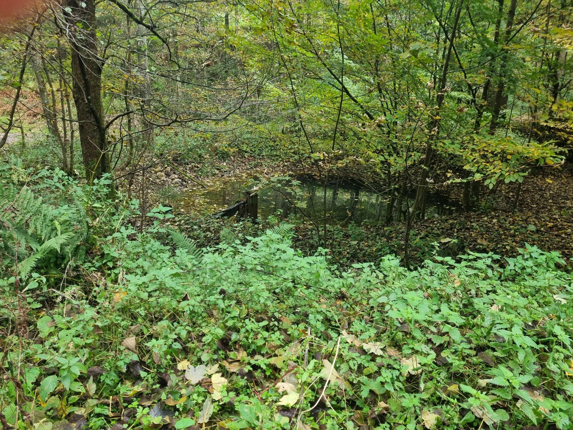
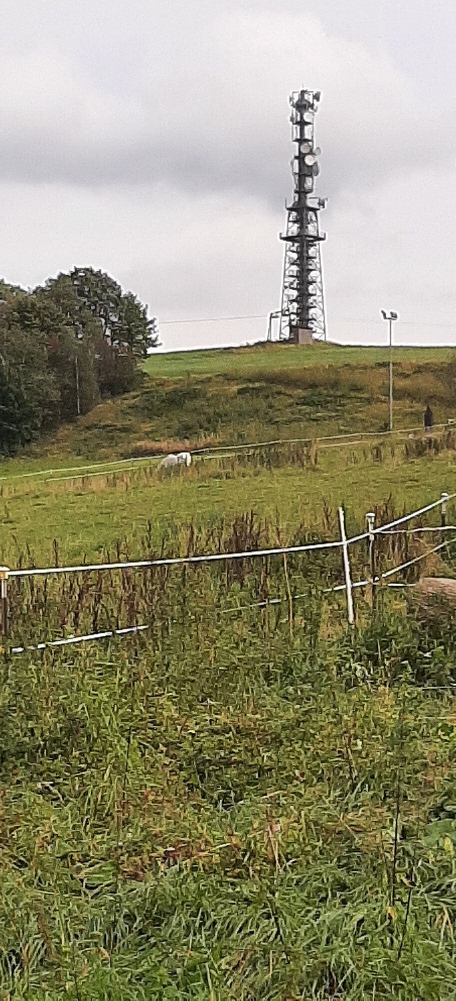
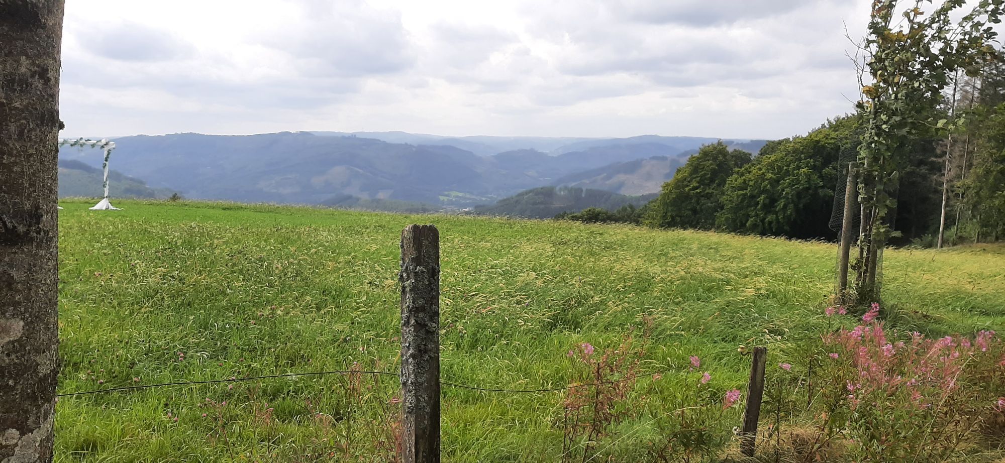
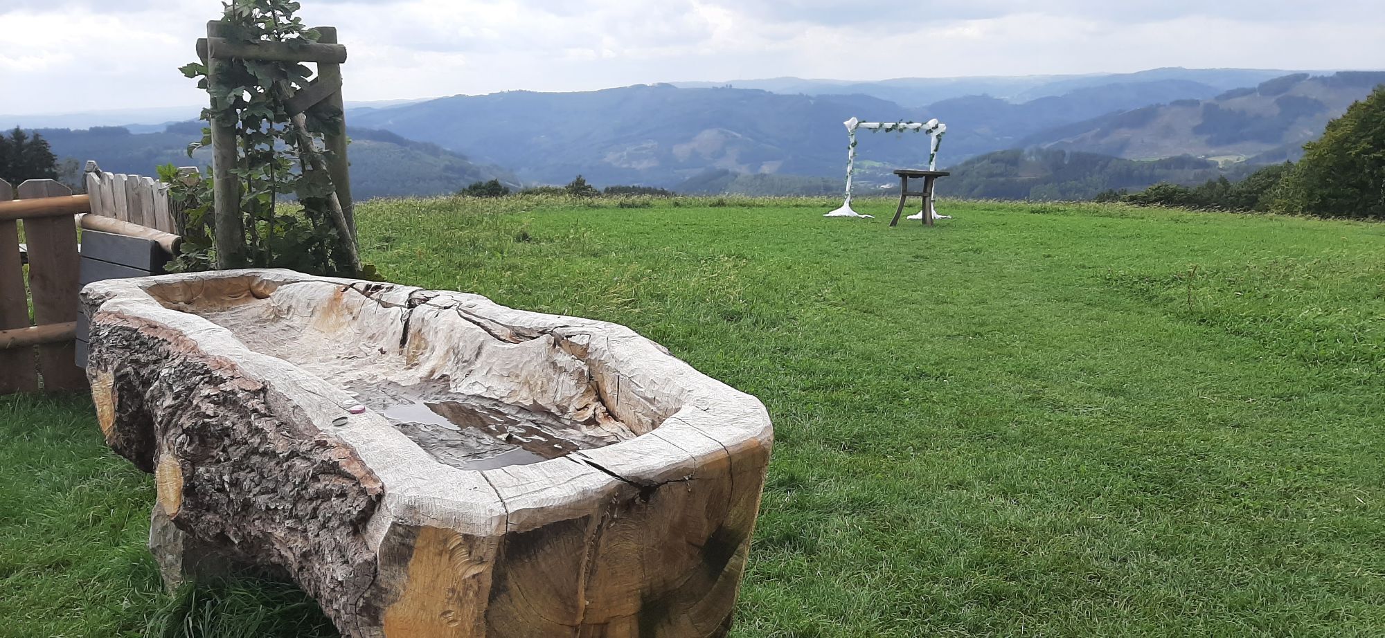
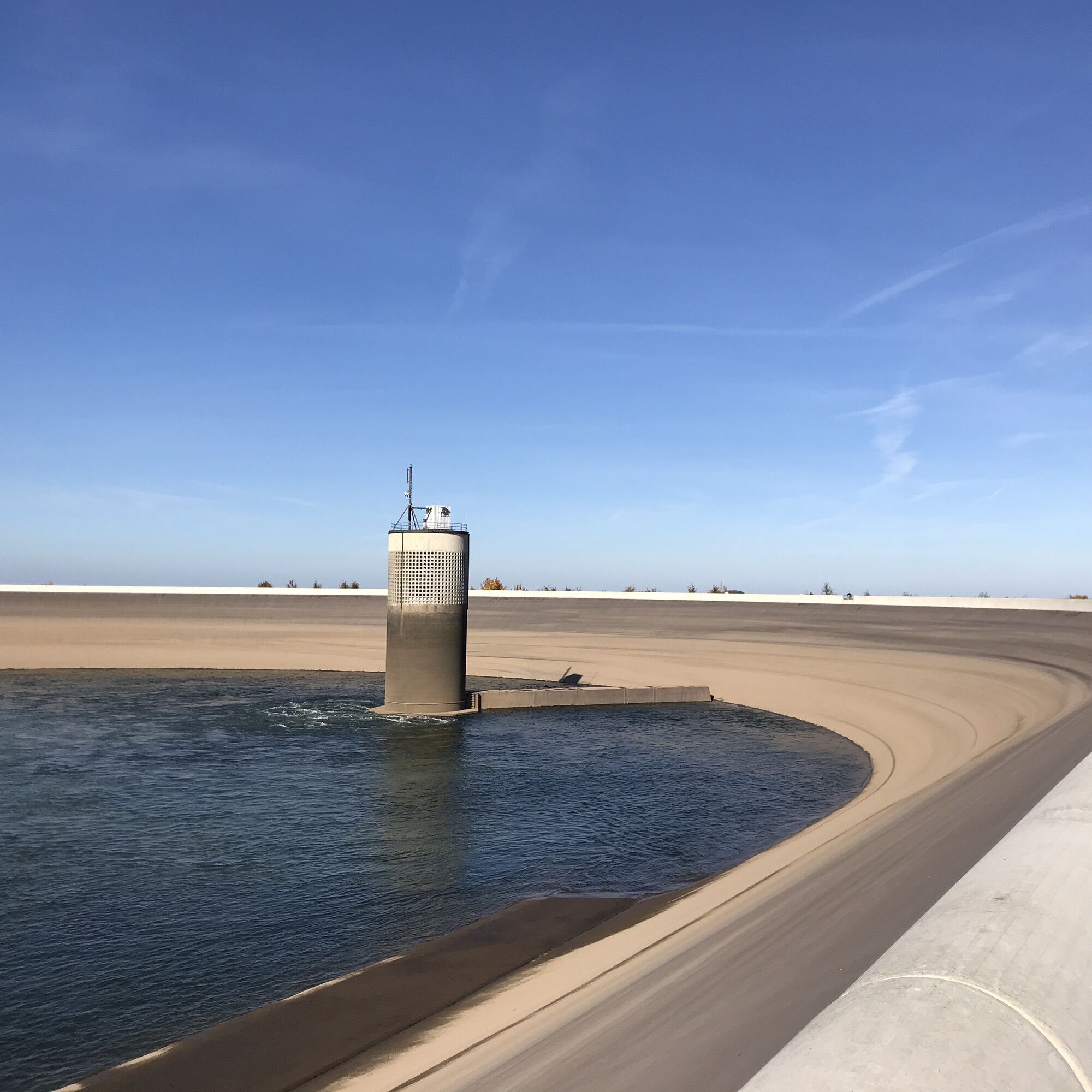
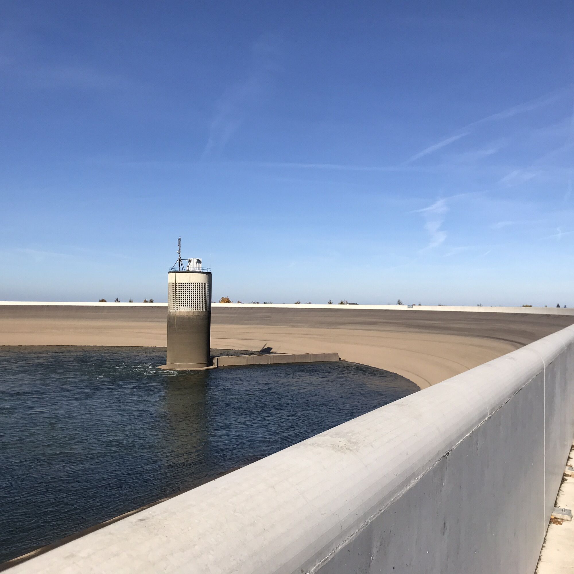
This beautiful circular route, which partially follows the Sauerland-Höhenflug, offers many beautiful panoramic views, quiet nature, but also places to rest and informative points along the way (upper...
This beautiful circular route, which partially follows the Sauerland-Höhenflug, offers many beautiful panoramic views, quiet nature, but also places to rest and informative points along the way (upper basin pumped storage plant).

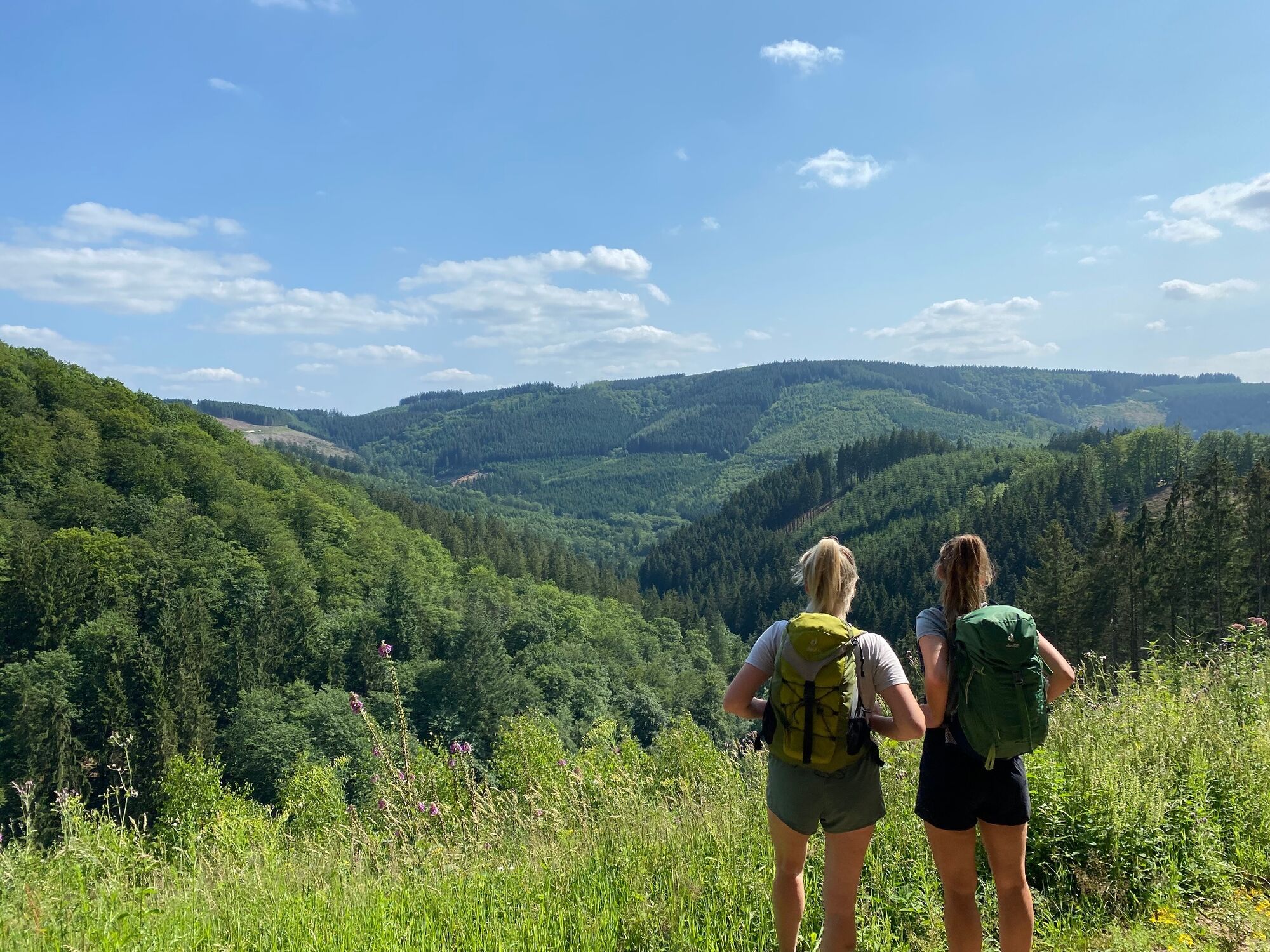
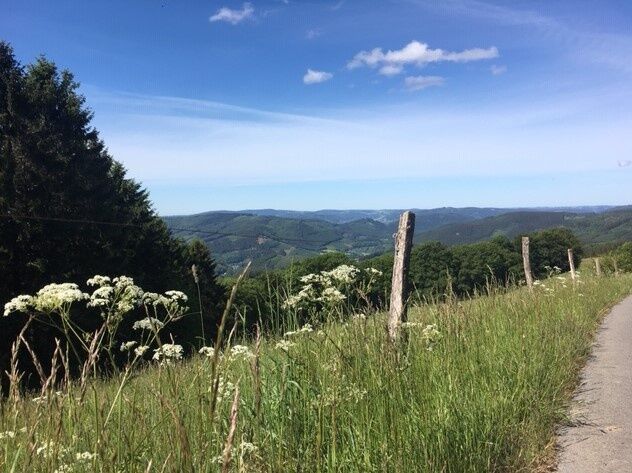
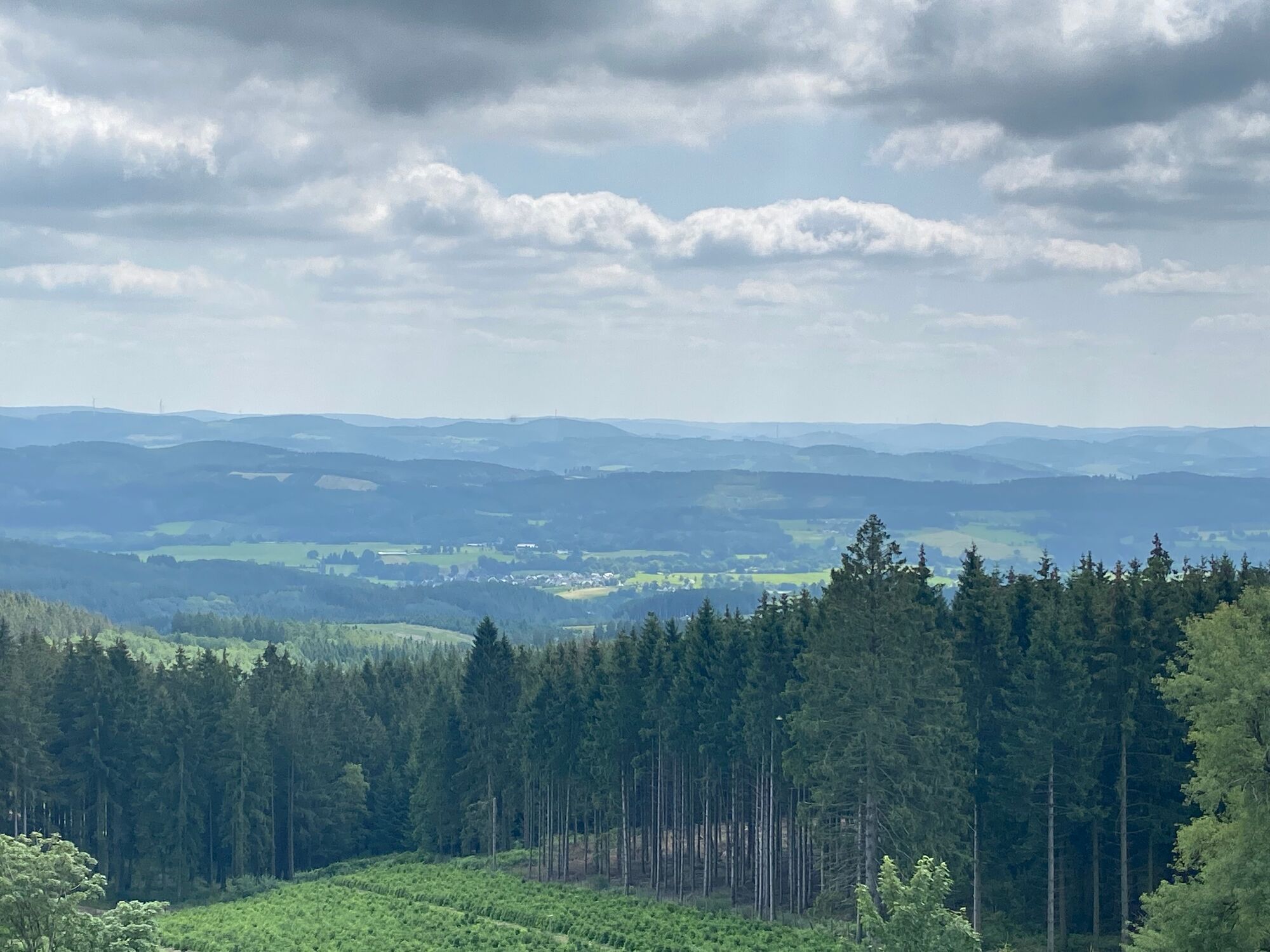
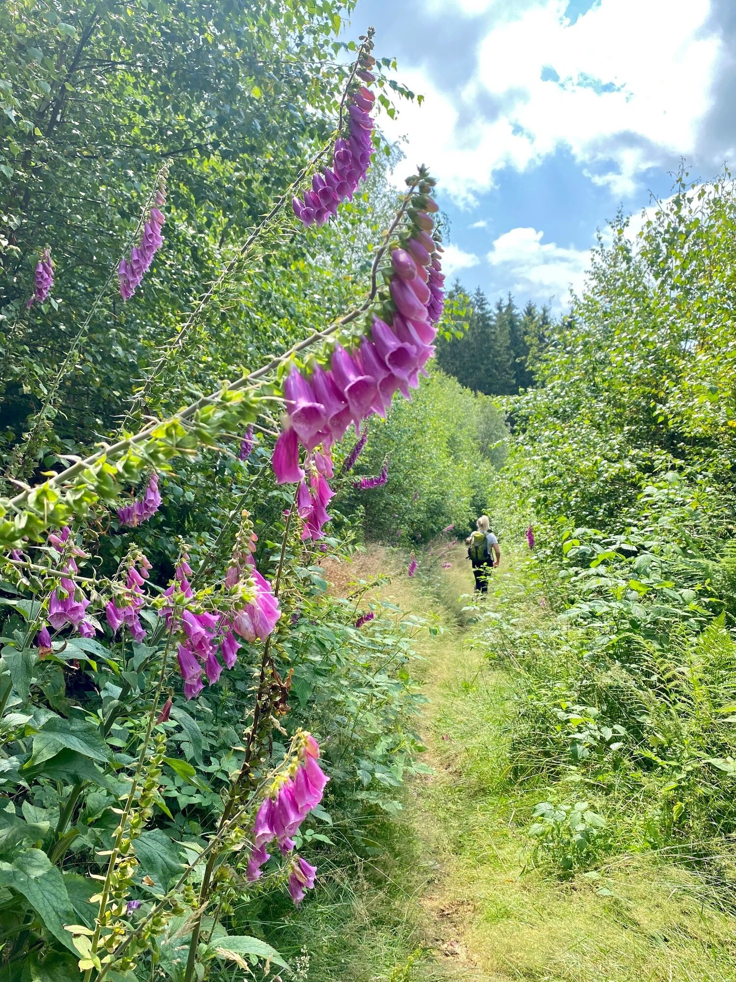
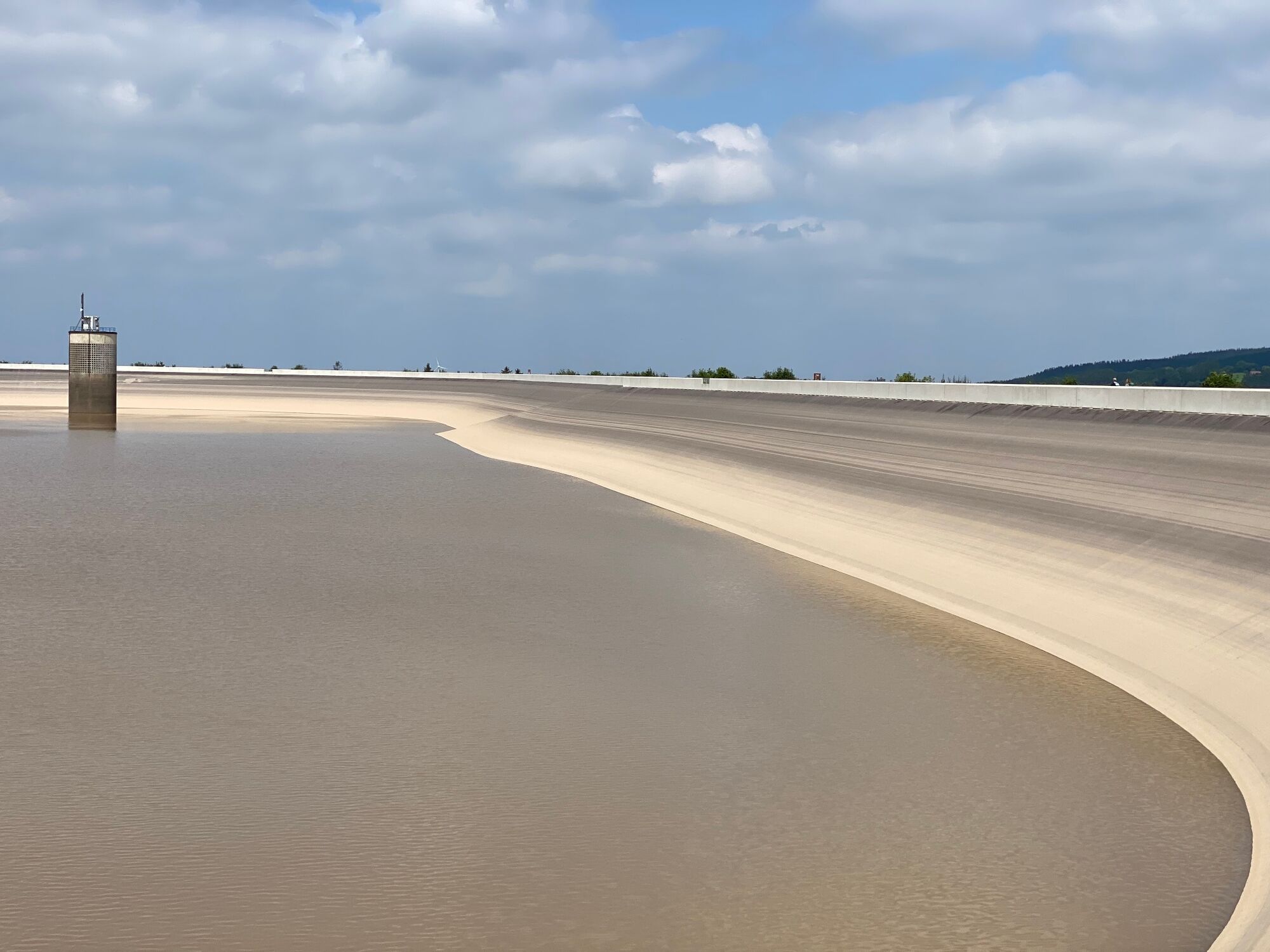

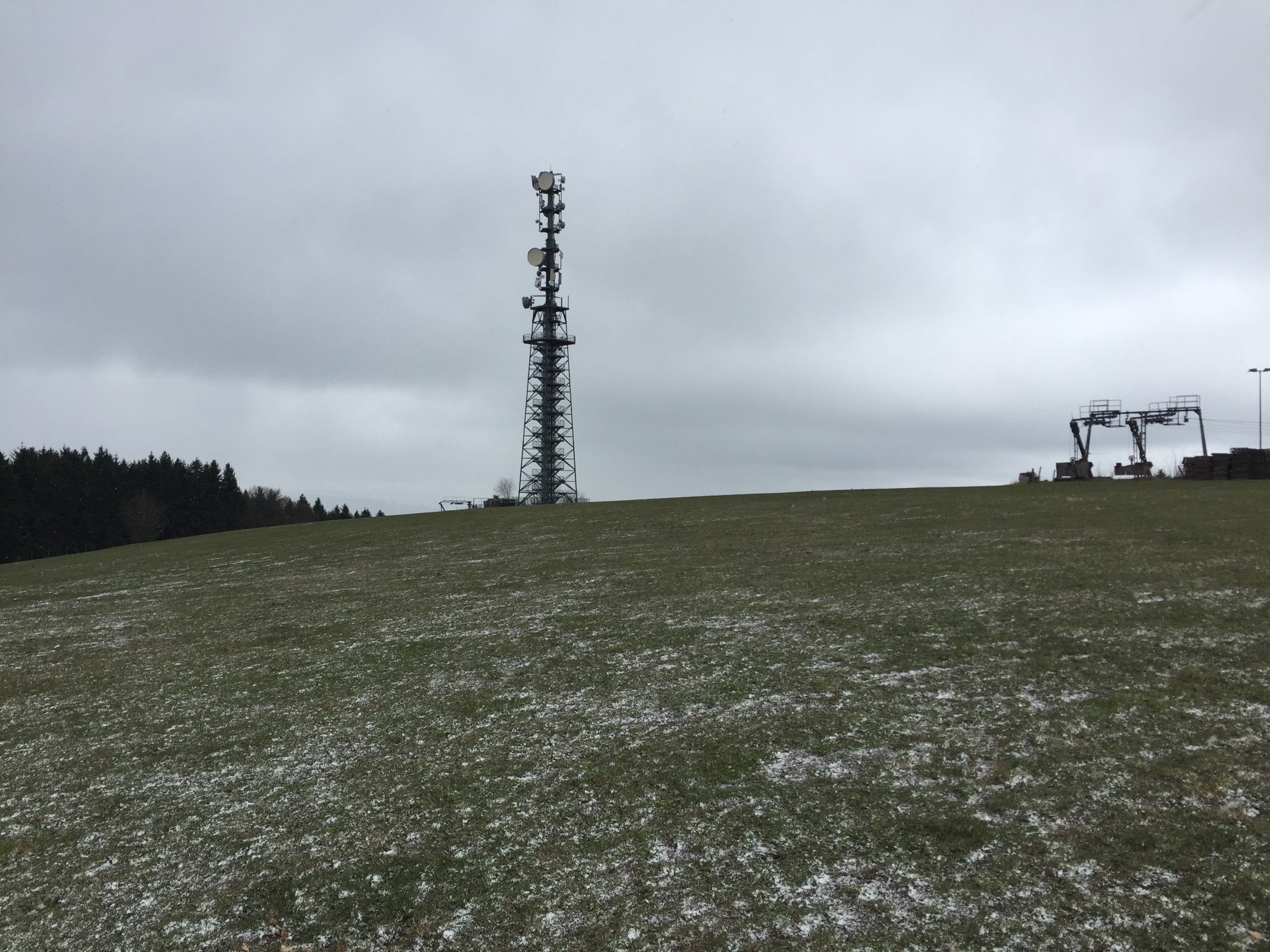
The description of the route starts at Wildewiese at the large parking lot at the town entrance. From the parking lot, turn right towards the village, then after a few meters turn right again to follow the access path to the Sauerland-Höhenflug (white H on black background). After 200 m the Höhenflug is reached and straight ahead it continues to Schomberg. Here the Schombergturm is waiting to be climbed. The reward for the 167 steps up is an amazing panoramic view over Sauerland! Continuing on the Höhenflug leads to Schlubberbruch. Here we leave the Höhenflug and circle along trails A1 and F to Faulebutter. At the Gasthof Rademacher you could make a first stop and enjoy a cool drink. To return to the Höhenflug, follow district road K29 for 150 meters towards Schönholthausen and then turn left. The path merges with the Höhenflug after 50 m, which you follow to the right. It takes us to the Glinge hiking car park. Now you go over the access road to the upper basin. The 1.3 km circular route is truly spectacular! Returning the same way, halfway you turn left and now follow the hiking trail marked with a U down into Glingetal to the lower basin of the pumped storage plant. On reaching the district road, follow it a short way to the right, then turn left with the X marking. At the end of Selbeckesiepen, X turns right, but we now take the W1 hiking sign, which leads steeply uphill to Wildewiese on the left. There are still some magnificent views to enjoy here. Nothing stands in the way of a final stopover in Wildewiese!
Sturdy footwear and plenty of drinks.
Pay close attention to path closures during possible tree felling operations.
The hiking map Sundern at Sorpesee, available through the Sundern city marketing, is helpful.
The circuit of the upper basin is a MUST, the view is simply magnificent!

 Pridobite vpogled Vedno v živo na mestu z več kot 9.500 spletnimi kamerami. bergfex Kot uporabnik Pro si lahko zdaj ogledate ustrezne spletne kamere za številne izlete v aplikaciji izleti iz. Tako si lahko neposredno ogledate trenutne razmere.
Priljubljeni izleti v okolici
- 4.5
2 Burgen Weg
svetlobaPohodništvo 16.9 km - 5.0
Bierbrau Wonder Path Grevenstein - The BIERlebnis Path
srednjaPohodništvo 7.36 km - 5.0
Bommecketal - Naturerlebnisweg in Plettenberg
svetlobaPohodništvo 4.07 km - 5.0
Over the heights around the Sorpesee
srednjaPohodništvo 21.2 km - 5.0
Veischeder Sonnenpfad - Nordschleife
težkoPohodništvo 17.7 km - 4.0
RuHe-Pfad (Around Helden in the Repetal)
srednjaPohodništvo 13.9 km Veischeder Sonnenpfad
srednjaPohodništvo 37.6 km- 5.0
Grenzwanderung in Altenhellefeld
svetlobaPohodništvo 5.52 km Radtour "Rund um den Sorpesee" (SR1)
svetlobaKolesarjenje 15.5 km- 5.0
Esselsteig
srednjaPohodništvo 11.5 km
Pohodništvo in sledenje


Ne zamudite ponudb in navdiha za naslednje počitnice
Vaš e-poštni naslov je bil dodan na poštni seznam.





