






Wanderbares M - Discover Meinerzhagen's most beautiful spots
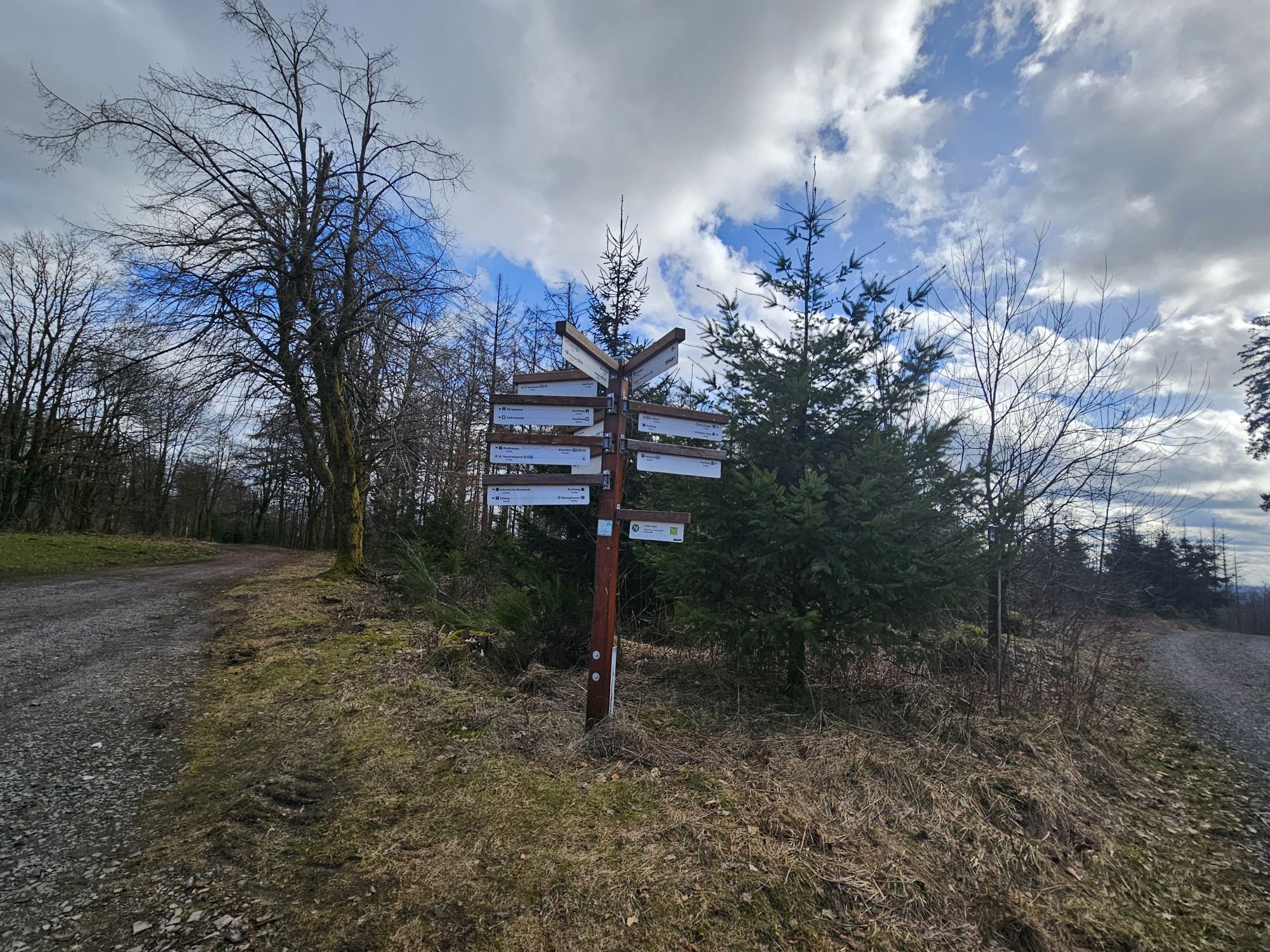
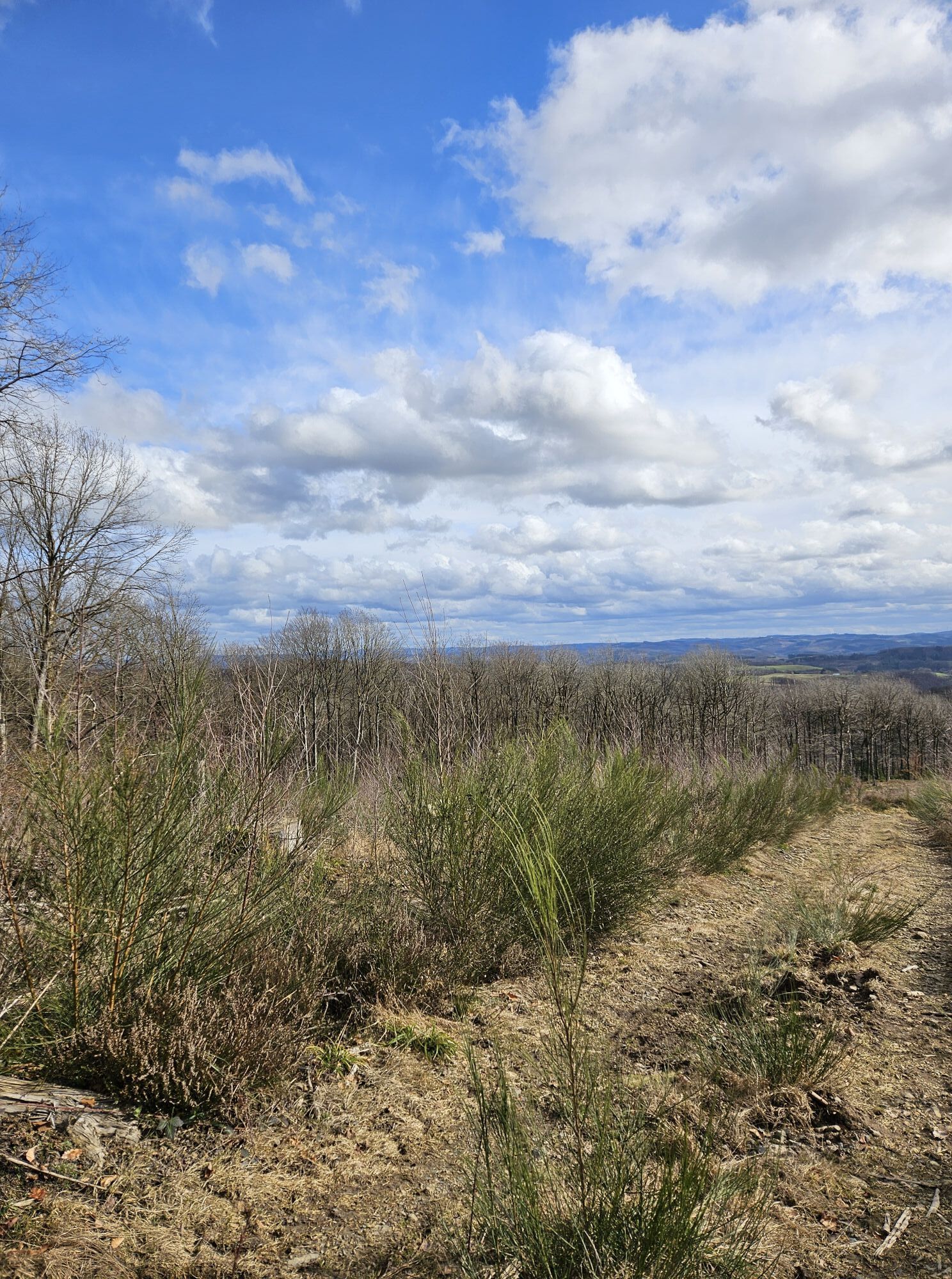
Enjoy nature and discover the most beautiful spots of Meinerzhagen on foot: all this is offered by our stage tour "Wanderbares M". This approximately 50 km long hike, divided into 4 (half-)day stages,...
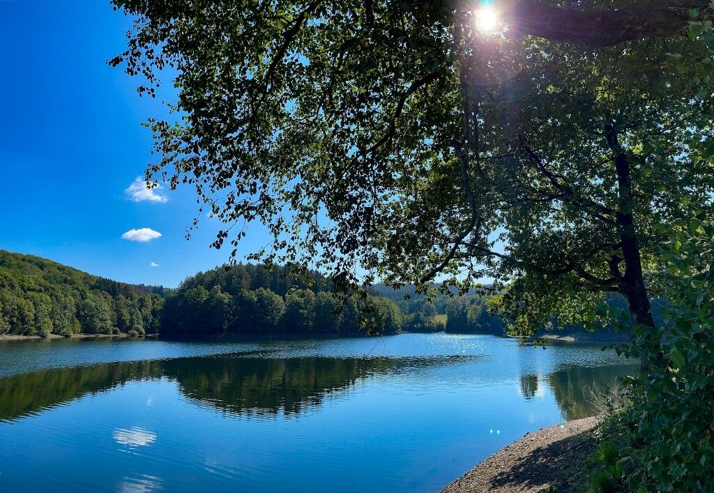
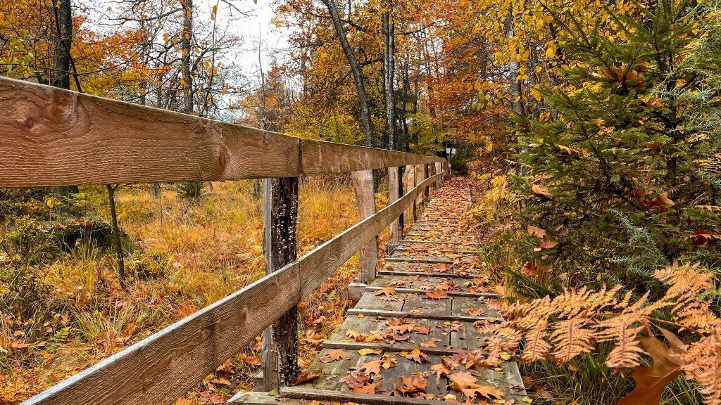
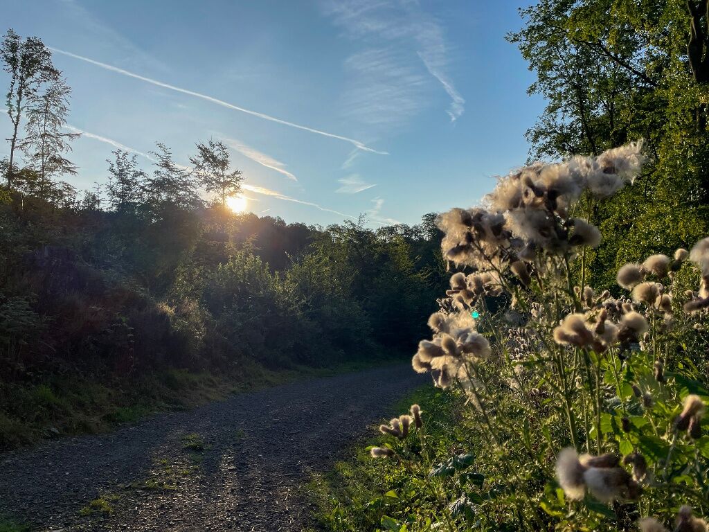
Enjoy nature and discover the most beautiful spots of Meinerzhagen on foot: all this is offered by our stage tour "Wanderbares M". This approximately 50 km long hike, divided into 4 (half-)day stages, leads in the shape of an "M" past the Badinghagen Water Castle, the Meinhardus Mattenschanzen (the landmark of Meinerzhagen), by the Fürwigge Dam and through the Quellental and the Ebbe Moors up to the heights of the Ebbe Mountains and the Nordhelle (663 m above sea level). Then it goes downhill past the Knochenmühle and the St. Maria Magdalena Chapel (Grotewiese) to the idyllic Lister Dam. Those who still haven’t had enough can discover further highlights on one of the numerous circular trails connected to the "Wanderbares M". At some points on the route, you can listen to exciting legends of the "enchanting legend world above the Volme".
The tour runs on already marked hiking trails and is additionally marked with a white "M" on a blue-green striped circle.

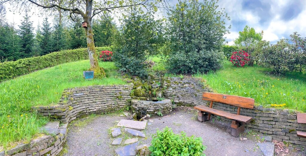
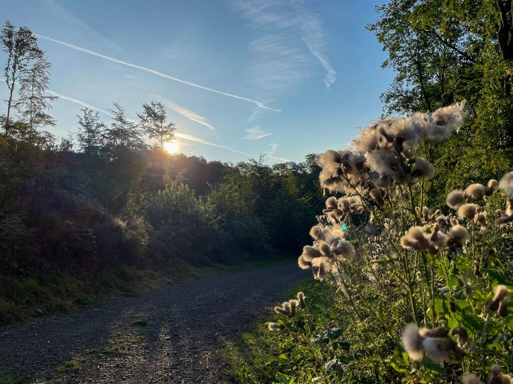
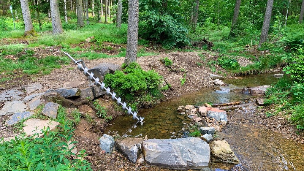
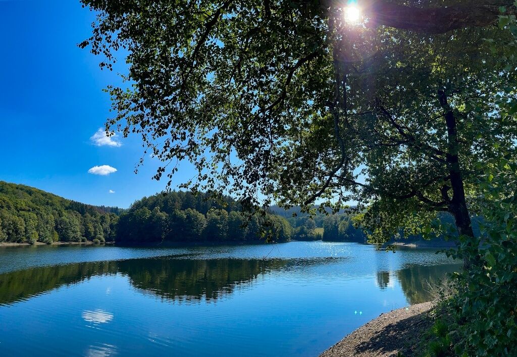

Stage 1: Heed Hiking Car Park - Stoltenberg Hiking Car Park
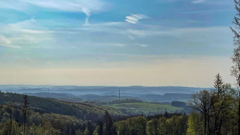
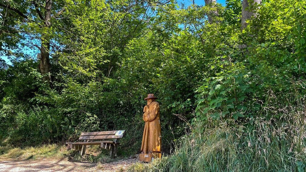
We start at the Heed Hiking Car Park in the south of Meinerzhagen and initially follow the A1 marking sign. Incidentally, this is also the starting point of the Forest Activity Trail; a great loop around the Heedberg. After a short time, we reach the Witch Oak with a legend site, after which we soon turn left and now follow the circular route marking sign of the Sauerland Höhenflug (white H on a blue background). We cross a road, pass the Badinghagen Water Castle, and finally ascend to reach the Schallershaus Hiking Car Park with a fantastic view of the Meinhardus Mattenschanzen. Incidentally, this is also the entry portal to the quality long-distance hiking trail Sauerland Höhenflug and a legend site of the "Enchanting Legend World Above the Volme" with a wooden shepherd figure.
Here you also have the option to either hike the Meinerzhagen City Walk or take the entire Sauerland Höhenflug Circular Route "We learned it from the water" as an additional round tour.
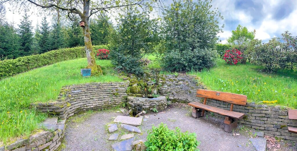
From here, we now follow the marking sign of the triangle pointing to the right. To get to the Fritz-Paulmann Way, we follow the path that leads us over a pedestrian island to the other side of the road. On an asphalt surface, along the edge of the town, we soon reach the Volme Spring. Continuing along the small road, the path crosses the country road again. Here we keep left, cross two bridges, and reach the small district of Willertshagen, where we reach the end of the first stage at the Stoltenberg Hiking Car Park. There is another legend site here.
Stage 2: Stoltenberg Hiking Car Park - Quellental Hiking Car Park
At the start of the second stage, we continue to follow the mentioned triangle marking and soon reach a small viewing platform with a view of the "Grundlose", the source area of the Lister. Here is another legend site of the "enchanting legend world above the Volme". We follow the path uphill until we reach a shelter. From now on, we follow the X11 marking diagonally RIGHT, which leads us further into the Ebbe Mountains.
At a larger junction, we initially follow the square marking and then turn left to follow the VolmeSchatz Natur (white V on turquoise background) to explore the Fürwigge Dam and finally return along the same route to our main path. Those who want to skip this detour, however, turn directly right at this junction and follow the white square on a black background marking downhill until reaching the Quellental Hiking Car Park.
This ends the second stage. Accommodation is available here at the Landhaus Nordhelle, which is a certified establishment of "Wanderbares Deutschland". We reach the accommodation by continuing a few minutes from the Quellental Hiking Car Park following the Sauerland Höhenflug marking (white H on a yellow background) and paying attention to further signs towards Landhaus Nordhelle.
Stage 3: Quellental Hiking Car Park - Nordhelle
Our third stage initially follows the Sauerland Höhenflug marking, the white M on a yellow background. The path continues to ascend, leading us further up to the Nordhelle, where we also cross the boardwalk (pole dam) over the protected flora and fauna of the Ebbe Moors. After the climb, we reach the Nordhelle, the highest point of the Märkisches Sauerland. From here, you can enjoy an incomparable view. Upon reaching the Robert Kolb Tower, our marking sign changes.
Stage 4: Nordhelle - Badestelle Windebruch Car Park
The fourth stage begins at the Robert Kolb Tower, from where we follow the upward-pointing triangle on a black background, which leads us over the Ebbe ridge. Soon, we reach a large forest crossroads called the Spider. Continuing steadily downhill, we soon meet a road and follow it, turning left onto the Jagdhorn Path (white hunting horn), until we reach the Echternhagen settlement. From here, we continue following the hunting horn. Those who prefer can hike the complete circular route. Otherwise, we leave the Jagdhorn path shortly before the village of Mühlhofe and walk down a bit to the country road, which we then cross to reach the Knochenmühle. Afterwards, we return to the country road, cross it again, and turn right towards the Grotewiese settlement with the small Pilgrimage Chapel "St. Maria Magdalena". From here, we follow the Jakobsweg with the yellow pilgrim shell on a blue background. After crossing the road following the shell, we leave the pilgrimage route shortly before the pilgrim stone and sharply turn right onto the Valberter Circular Route, marked with a white V on a black background.
Shortly before Unterworbscheid, at the edge of the forest, there is a legend bench of the "enchanting legend world above the Volme". From here, there is a wonderful view of the Ebbe Mountains with Nordhelle and the Grotewiese settlement. The Valberter Circular Route now leads us steadily towards the Lister Reservoir, where the Bigge-Lister Circular Route runs parallel. Following the white "BL" on a blue-green background, we continue until we leave this circular route shortly before Hunswinkel towards Windebruch, reaching the final destination of our stage hike, the Windebruch Car Park with bathing area. There is also the Hotel-Restaurant Fischerheim where you can stop and stay overnight.
Different surfaces await us on this hiking tour. Sturdy hiking footwear and weather-appropriate clothing are recommended. Hiking provisions (food & drinks) should be taken along.
First aid: In an emergency, dial the emergency number 112. Provide the rescue point number. Rescue points are marked forest access points for rescue vehicles. If the nearest rescue point is unknown, your location can be retrieved directly by AML (Advanced Mobile Location) during the emergency call.
All information available here: WANDERBARES M
You can reach Meinerzhagen from the direction of Cologne by train line RB 25; from the direction of Dortmund by train line RB 52 with a transfer in Brügge (Westfalen) to RB 25 (direction Cologne).
The Meinerzhagen town center, the Quellental Hiking Car Park, the Fürwigge Dam, and also the Nordhelle are accessible by the Märkischer Kreis NahTourBus and are connected to this network during the hiking season from May to October.
Heed Hiking Car Park – Starting point for Stage 1
Stoltenberg Hiking Car Park – Starting point for Stage 2
Quellental Hiking Car Park – Starting point for Stage 3
Windebruch Car Park – End point (or starting point if you walk the route the other way around)
All information about "Wanderbares M" is available here:
Circular routes along the trail:
- Circular route along the Sauerland Höhenflug
- City walk,
- Forest Activity Trail,
- VolmeSchatz Nature
- Bigge-Lister Circular Hiking Trail
Spletne kamere s turneje
Pridobite vpogled
Vedno v živo na mestu z več kot 9.500 spletnimi kamerami. bergfex Kot uporabnik Pro si lahko zdaj ogledate ustrezne spletne kamere za številne izlete v aplikaciji izleti iz. Tako si lahko neposredno ogledate trenutne razmere.
Priljubljeni izleti v okolici
-
4.0
Rundweg an der Versetahlsperre
srednjaPohodništvo 10.9 km -
4.0
2 Burgen Weg
svetlobaPohodništvo 16.9 km -
5.0
Um die Nordhelle
srednjaPohodništvo 6.81 km -
5.0
Bommecketal - Naturerlebnisweg in Plettenberg
svetlobaPohodništvo 4.07 km -
Talsperren Genkel und Agger
svetlobaMountainbike 22.5 km -
5.0
Spazier- und Wanderweg Genkeltalsperre
srednjaPohodništvo 9.85 km -
Plettenbergs größtes Schwimmbecken: Die Oestertalsperre
srednjaPohodništvo 7.23 km -
P-Weg - Der Plettenberger Rundwanderweg
težkoPohodništvo 57.6 km -
4.0
Drolshagen A4 varied and relaxing
srednjaPohodništvo 10.3 km -
Kierspe-Rönsahl: Circular hike along the Wipper and Lingesetalsperre
srednjaPohodništvo 10.9 km

Pohodništvo in sledenje


Ne zamudite ponudb in navdiha za naslednje počitnice
Vaš e-poštni naslov je bil dodan na poštni seznam.





