







"T3" - Themed circular cycle route - journey through history - in the karst
Stopnja težavnosti: 6
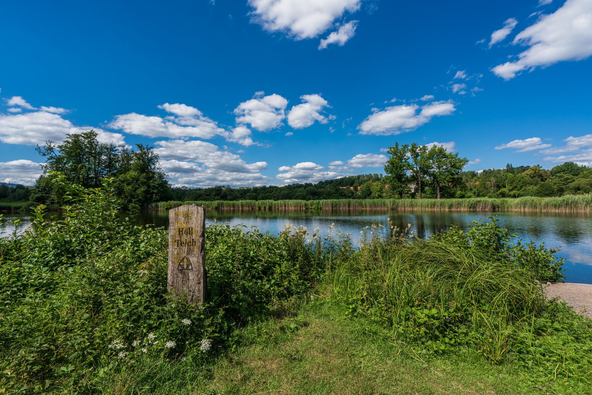
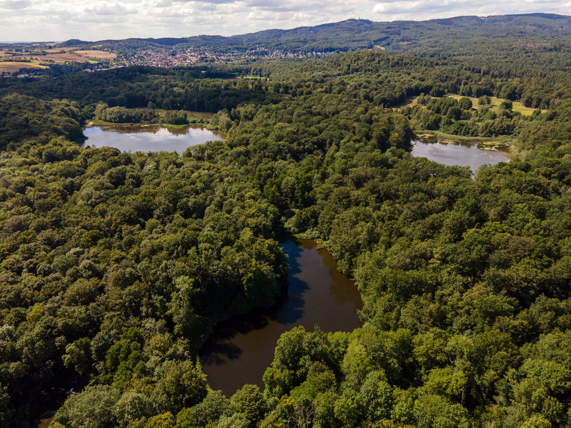
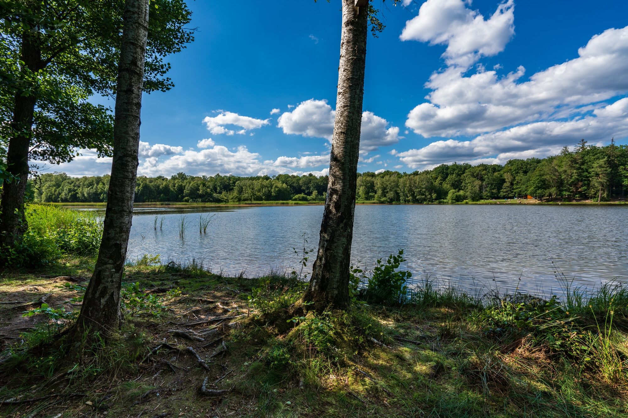
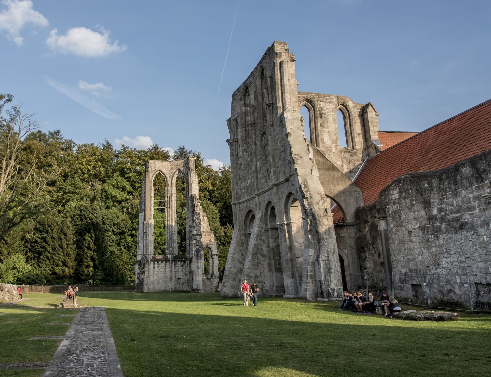
The themed circular cycle route "T3" leads through the town of Bad Sachsa and its districts Tettenborn, Steina as well as the municipality of Walkenried and the district Wiedigshof, passing a variety of...
The themed circular cycle route "T3" leads through the town of Bad Sachsa and its districts Tettenborn, Steina as well as the municipality of Walkenried and the district Wiedigshof, passing a variety of natural and cultural monuments. The new route runs through the districts Obersachswerfen, Branderode and Klettenberg of the municipality of Hohenstein. The "T3" runs on agricultural and forest roads as well as side roads with little traffic. The cycle route is fully signposted (T3 logo).

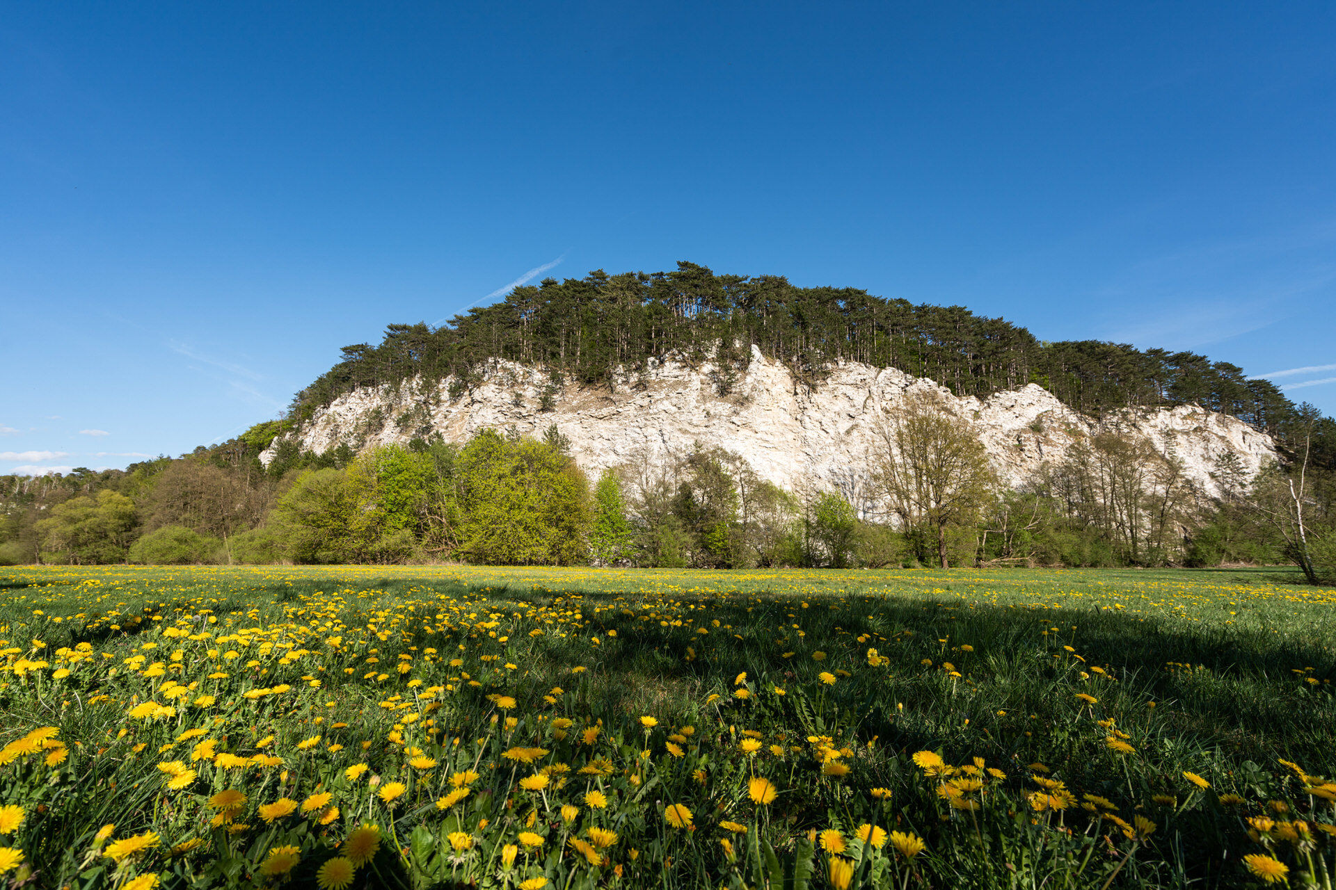
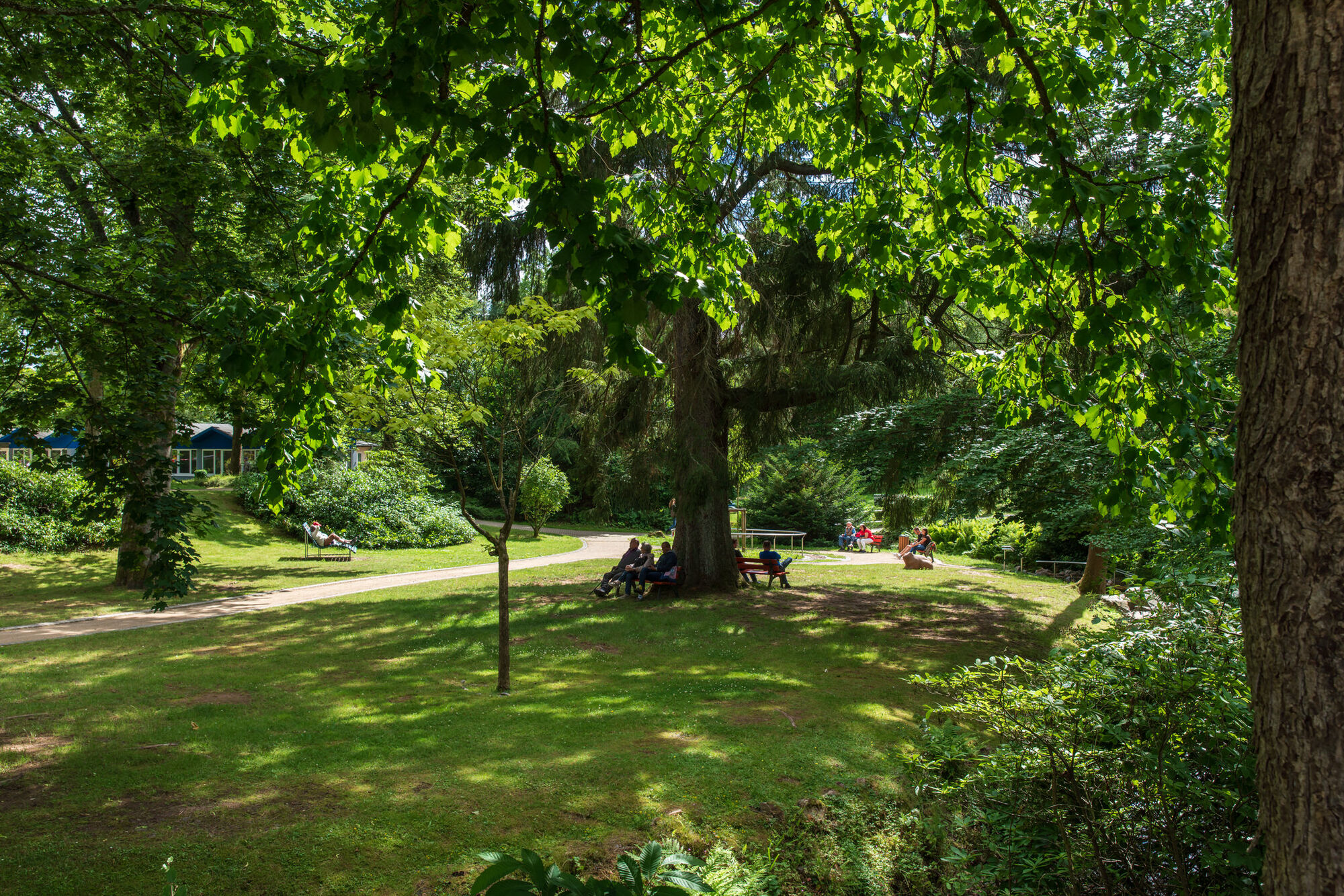
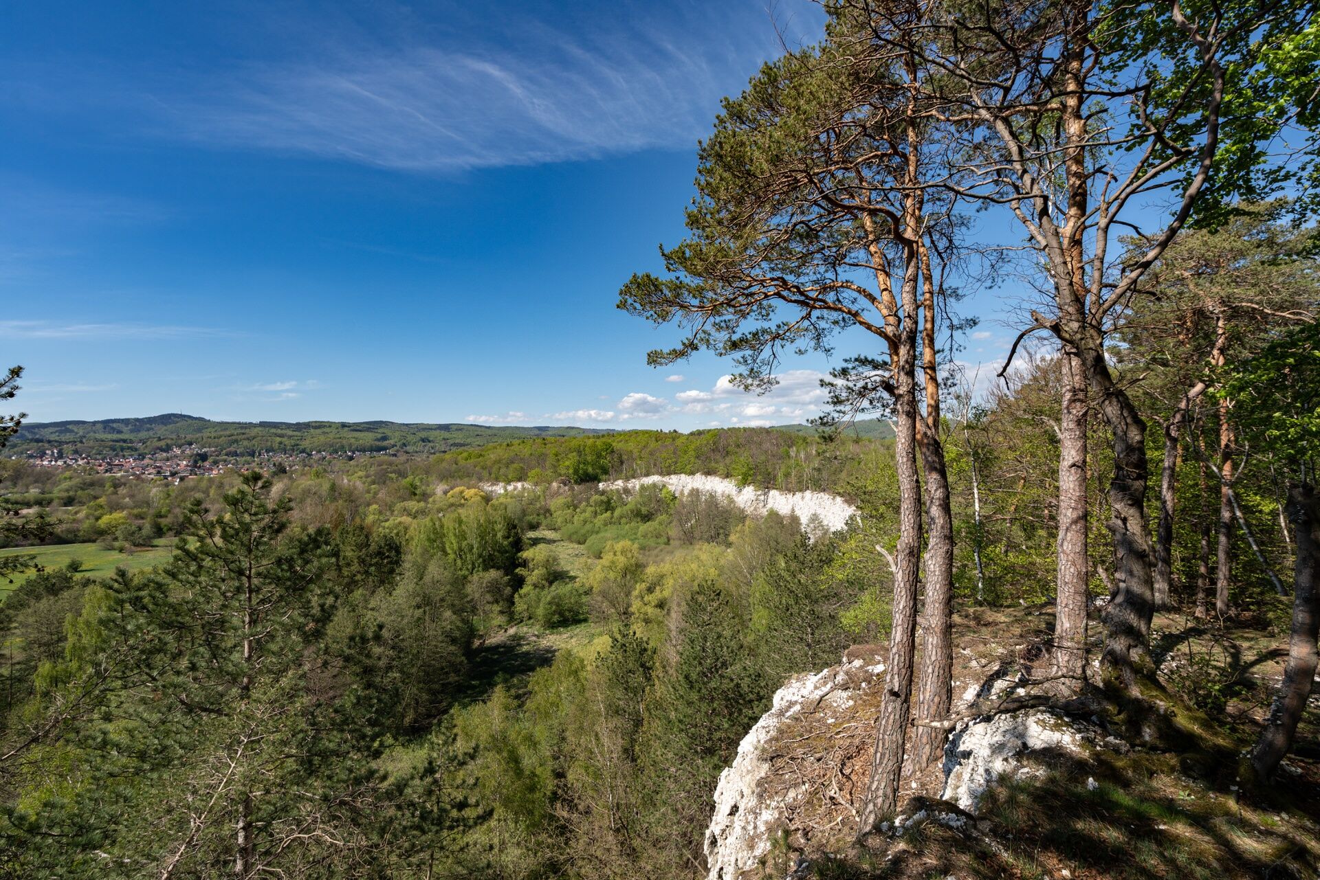


You can start at Bad Sachsa or Walkenried train station.
6
Tourist Information Bad Sachsa
Am Kurpark 6
37441 Bad Sachsa
Phone: 05523 47499-0
Email: info@bad-sachsa-urlaub.de
Internet: www.badsachsa.de
District of Göttingen, Regional Management Osterode am Harz
Herzberger Str. 5
37520 Osterode am Harz
Phone: 05522 960-4425/4426
Email: freizeitportal@landkreisgoettingen.de
Internet: www.landkreisgoettingen.de / www.goettingerland.de
Priljubljeni izleti v okolici
-
4.0
Aufstieg zum Bismarckturm
svetlobaPohodništvo 4.67 km -
5.0
South Harz Railway Cycle Path (SHE)
srednjaKolesarjenje 24.8 km -
5.0
Zorge 3 Stempel
težkoPohodništvo 8.41 km -
Karstwanderweg Südharz | mit der Nordvariante im Landkreis Göttingen
srednjaPohodništvo 167.7 km -
Bad Lauterberg 1
svetlobaPohodništvo 15.3 km -
Karstwanderweg Südharz | mit der Südvariante im Landkreis Göttingen
srednjaPohodništvo 181.8 km -
Groß Lengden - Sonnenstein
težkoKolesarjenje 69.5 km -
Gipspfad Mehholz
srednjaPohodništvo 2.52 km -
Harzer BaudenSteig 4: Von Bad Lauterberg nach Bad Sachsa
srednjaPohodništvo 11.4 km -
Duderstadt. Wanderung zur Rhumequelle
Pohodništvo 33.2 km
Pohodništvo in sledenje


Ne zamudite ponudb in navdiha za naslednje počitnice
Vaš e-poštni naslov je bil dodan na poštni seznam.





