


Hiking Krumbach: Weißes Kreuz - Zethofer


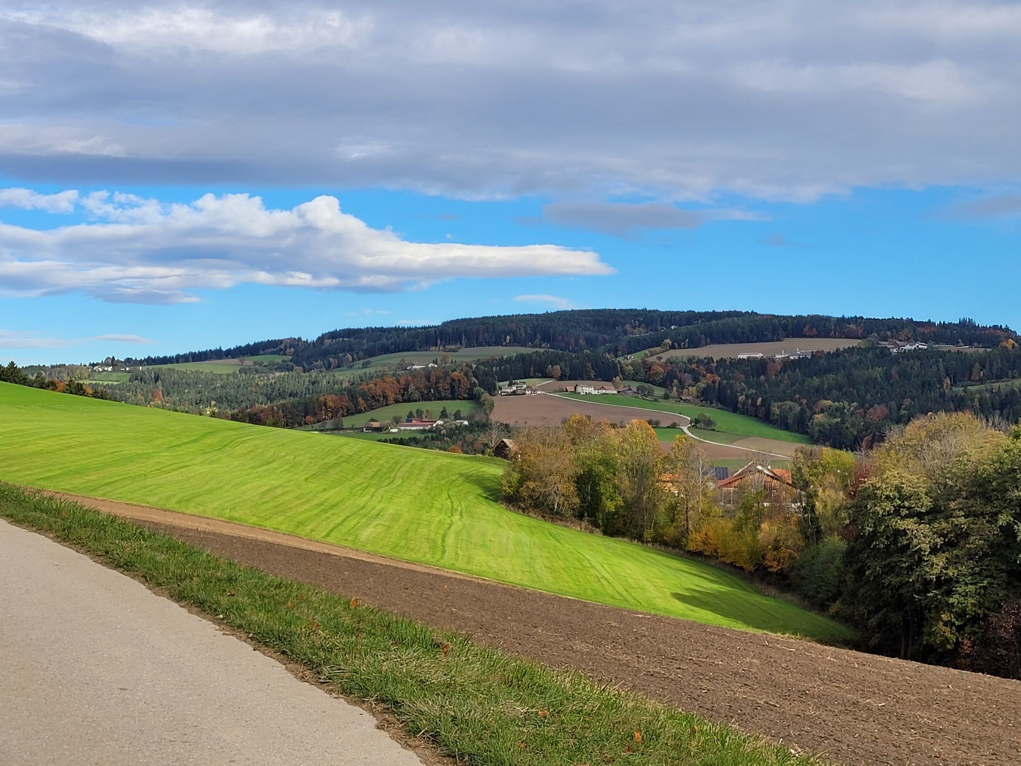
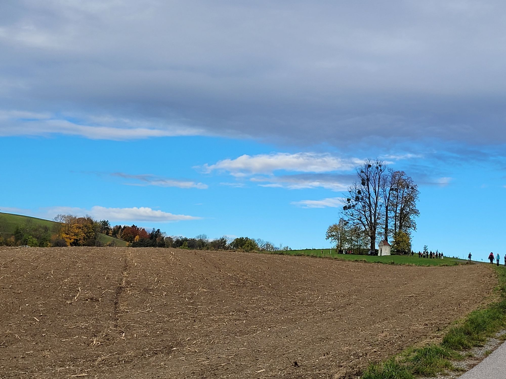


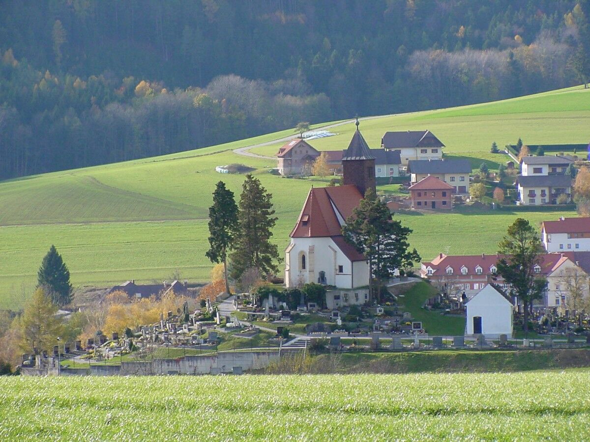
The starting point is the municipal car park, from there follow the green marking along Königseggstraße to the Haidbauernkapelle (km 3). Before the chapel, turn right and follow the street, at the next intersection turn right again towards Weißes Kreuz (4.5 km). From Weißes Kreuz, continue on the state road towards Lichtenegg, after about 400 m (at the elevated tank) turn right onto the forest path and follow it over the stream. Follow the forest path to the road, then turn right downhill and immediately turn left onto the field path. After the stream, follow the forest path uphill on the left until you reach a field path again; follow it up to the farmhouse.
Turn right onto the road and go straight over a farm track, past an older hut, then enter the forest path and follow it to the next farm. The Zethoferweg is reached; continue straight along the road past two farmhouses. Then follow the field path down on the right, continue through a forest path until reaching the asphalt road. Follow this into the village area.
Follow the green marking along the entire route.
Da
Always take suitable maps with you. Wear sturdy shoes adapted to the route, bring sun and rain protection as well as water and a snack. Take your mobile phone and save the mountain rescue emergency number: 140
Your hikes in the Vienna Alps should be a thoroughly beautiful and safe experience. Please note the following:
Preparation
Make sure the chosen route matches your mountain experience and fitness. Check the weather forecast in advance. Weather in the mountains can change rapidly. Always set out properly equipped (e.g., rain protection).
Check if the huts and snack stations you plan to visit are open. Inform someone about your chosen route and planned return before you leave.
More safety tips can be found here.
From Vienna: Take the A2 South Motorway, exit at Krumbach. Continue on the Krumbach junction. Continue on Kirchschlager Str./B55. In Krumbach turn left onto Marktstraße. Turn right to stay on Marktstraße.
From Graz: Take the A2 South Motorway, exit Aspang-Zöbern. Turn right onto L137. Continue on Kampichl and Hauptstraße. Hauptstraße veers left in Zöbern and becomes Austraße. Follow L137 to Unterhaus near Krumbach and turn left onto Kirchschlager Str./B55. Continue on B55. Turn right onto Marktstraße and left to stay on Marktstraße.
More information at www.oebb.at or www.vor.at
Parking available at the municipal car park.
Vienna Alps in Lower Austria, www.wieneralpen.at, +43 / 2622 / 78960
Opening hours: Mon - Thu 08:30 - 16:00 / Fri 08:30 - 13:00
Combine your hike with a stay in Krumbach. The Krumbacherhof is bookable directly online.
Other dining options:
Gasthaus Heissenberger
Piri's Gasthaus
Priljubljeni izleti v okolici
-
4.3
Schaukelweg
svetlobaTematska pot 3.53 km -
4.5
Bad Schönau - Hutwisch
svetlobaPohodništvo 9.99 km -
3.8
Bucklige Welt: Burg Grimmenstein und Kulmriegel
svetlobaPohodništvo 10.5 km -
4.3
Mönichkirchner Genussrunde
svetlobaPohodništvo 10.1 km -
4.7
Aspang Hochwechsel Panorama-Runde Wexl Trails mit "The WU"
srednjaMountainbike 57.5 km -
4.5
Wechselgebiet: Niederwechsel
Pohodništvo 7.03 km -
4.8
Path of Views Bad Schönau
svetlobaPohodništvo 5.99 km -
EuroVelo 9: Wiener Neustadt – Mönichkirchen leg
srednjaKolesarjenje na dolge razdalje 55.4 km -
4.7
Rund um den Kogel
srednjaPohodništvo 9.38 km -
Mönichkirchen zum Niederwechsel
svetlobaPohodništvo 16.8 km
Pohodništvo in sledenje


Ne zamudite ponudb in navdiha za naslednje počitnice
Vaš e-poštni naslov je bil dodan na poštni seznam.